Driving the Thompson River Canyon, Gold Pan Campground to Lytton
On Day 6, May 1st, I continued exploring the Thompson River and Fraser River Canyons, which had been planned as the main focus of this first week on the road.
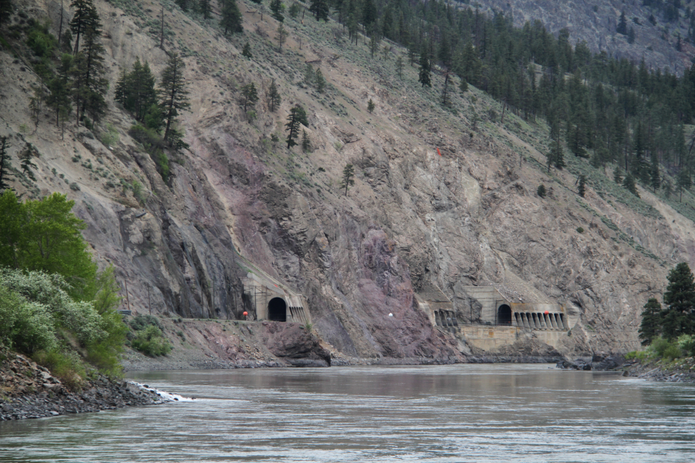
We spent the previous night at the Gold Pan Provincial Park campground, and I was in no hurry to leave. This view of a couple of railway tunnels was shot from our site. Lots of trains went by but never when I had my camera handy.
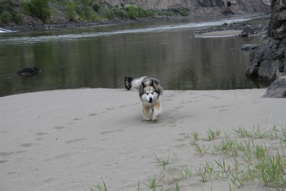
We started the day off with a couple of good walks. A big sandbar just upriver from the campground was a hit for the kids to play on.
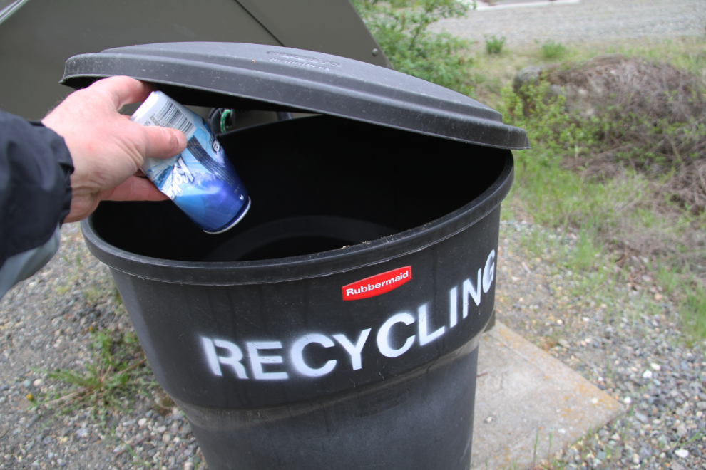
What constitutes “recycling” varies by where you are. The previous evening, I asked the campground attendant about it – here, it’s only refundable containers.
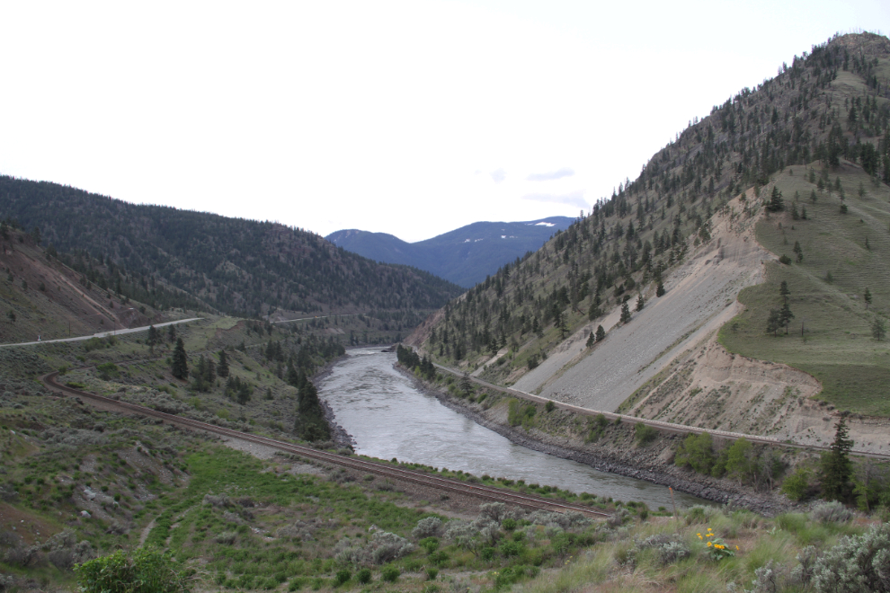
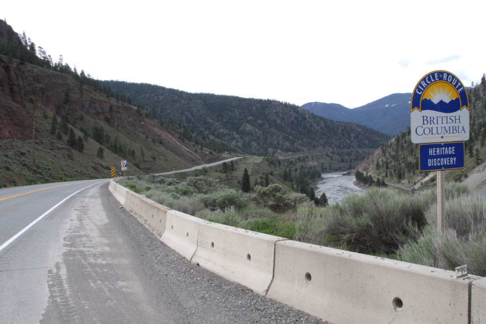
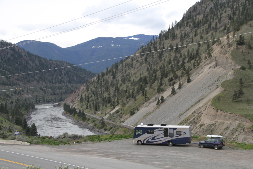
We were on the road just before 09:00, with no real plan for the day except to stop and explore at every opportunity. A large pullout with this view down the Thompson River was a good start.
The Heritage Discovery Circle Route is one of BC’s circle routes that I’d particularly like to do as one drive. I’ll be driving it all during this trip, but not in a continuous run.
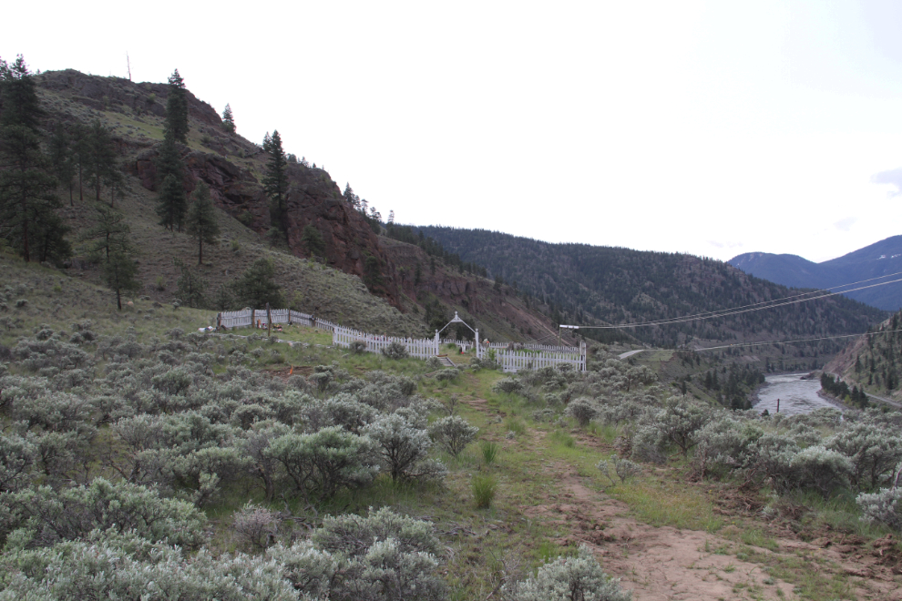
While I was stopped enjoying the view, I noticed a cemetery above the highway, so went for a look. This is what I found.
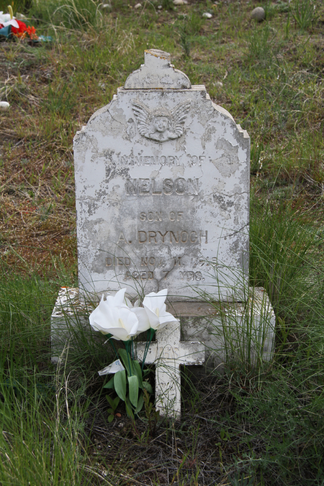
It’s a cemetery for the Drynoch family. This headstone is for Nelson Drynoch, who died on November 11, 1918, at the age of 7.
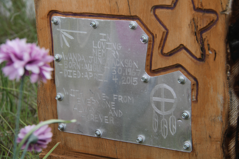
The most recent burial was Wanda June Jackson, who died on April 4, 2015.
The view from the cemetery.
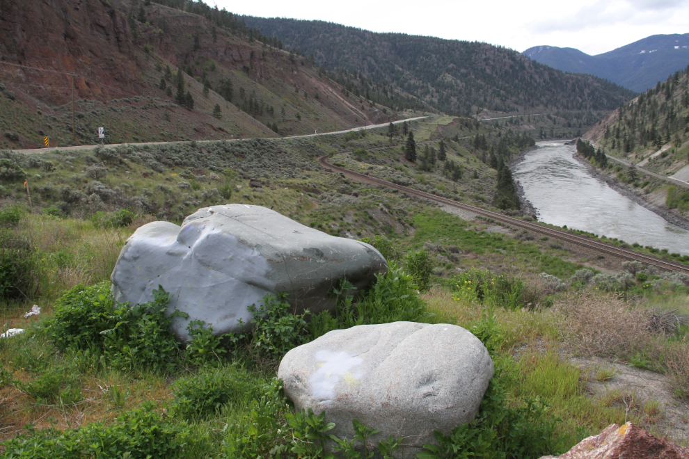
BC has gone to great effort to deal with grafitti along the highway. The gray paint covering up the grafitti on these rocks is barely noticeable from a few feet away.
At 09:28, I saw dust from a massive rock slide ahead, on the opposite side of the canyon.
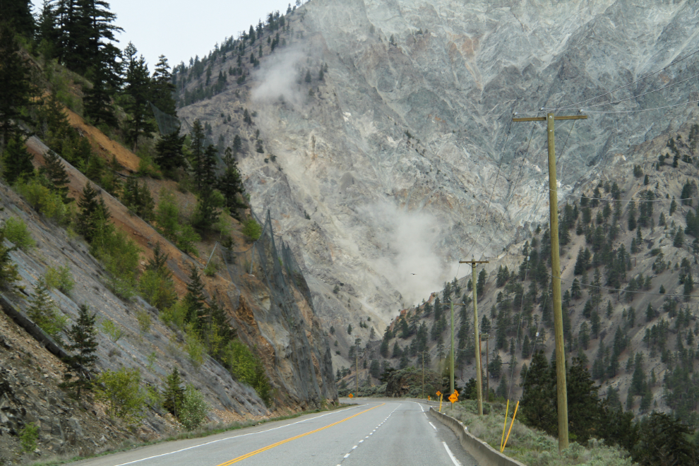
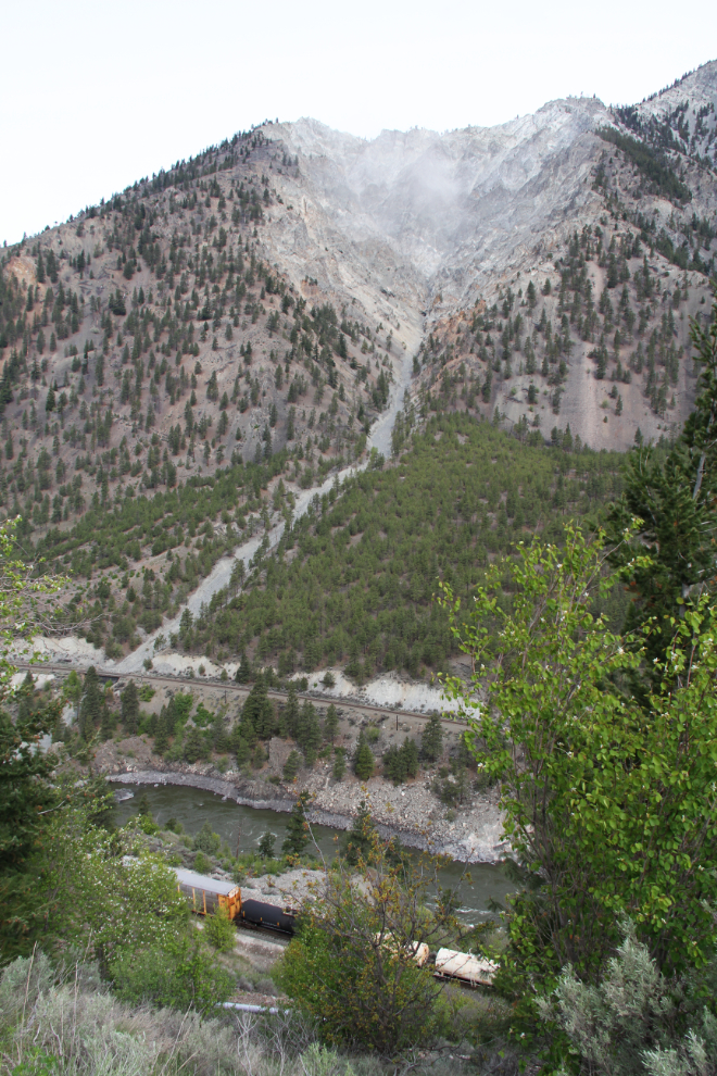
I stopped at a pullout to check it out, as did a couple of other vehicles. More rock could be heard falling for a few minutes, but none seemed to go as far as the railway below. My first thought was that it had been triggered by an earthquake, but there don’t seem to have been any in that area.
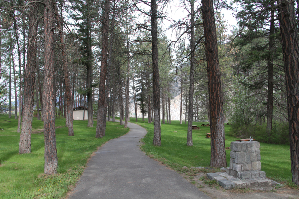
About 6 km north of Lytton, I stopped at the day-use area of Skihist Provincial Park to take the dogs for a walk. It’s a lovely site, with lots of grass, a dozen picnic tables under the ponderosa pines, and even flush toilets.
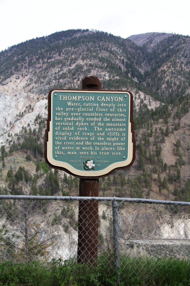
At the far end of the site, this Heritage BC Stop of Interest sign says about the Thompson Canyon: “Water, cutting deeply into the pre-glacial floor of this valley over countless centuries, has gradually eroded the almost vertical dykes of the mountain of solid rock. The awesome display of crags and cliffs is vivid evidence of the might of the river and the ceaseless power of water at work. In places like this, man sees his true size.”
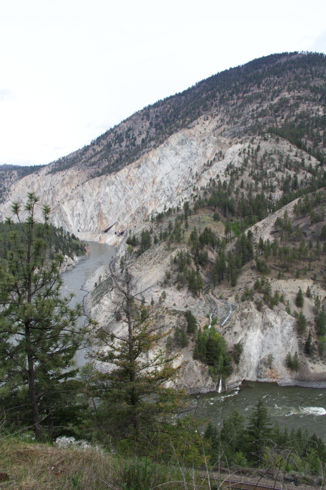
Beyond the heritage sign is this view down the Thompson River.
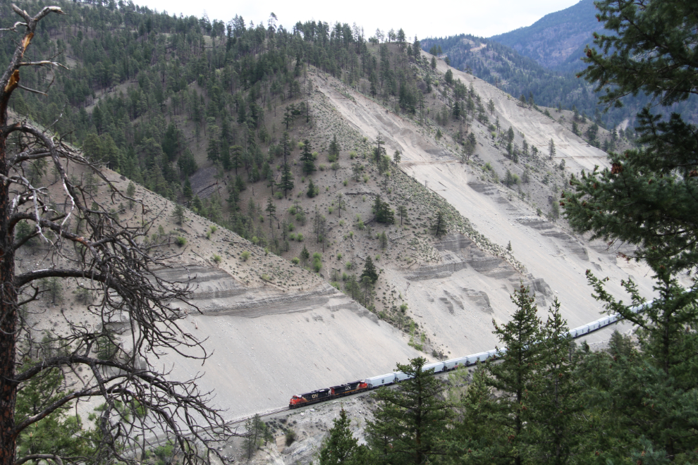
Down in the canyon are a few displays of serious railway-building skills.
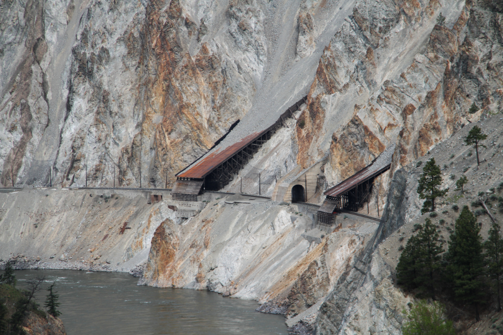
Another look at the Canadian National Railway line from the parking lot end of the park.
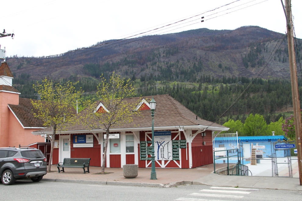
I decided to unhook the Tracker again, and go for a good look at the little community of Lytton, which had 228 residents as of the 2011 census. This is the visitor information centre and the community swimming pool, both of which were still closed.
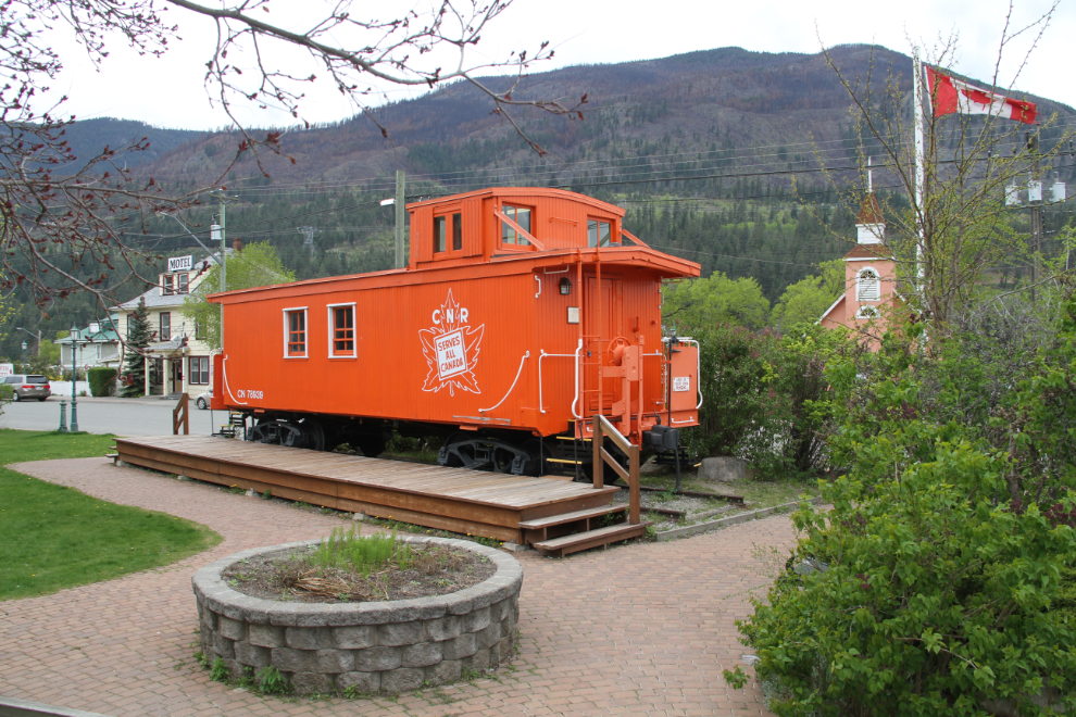
Across the street from the visitor information centre is Caboose Park.
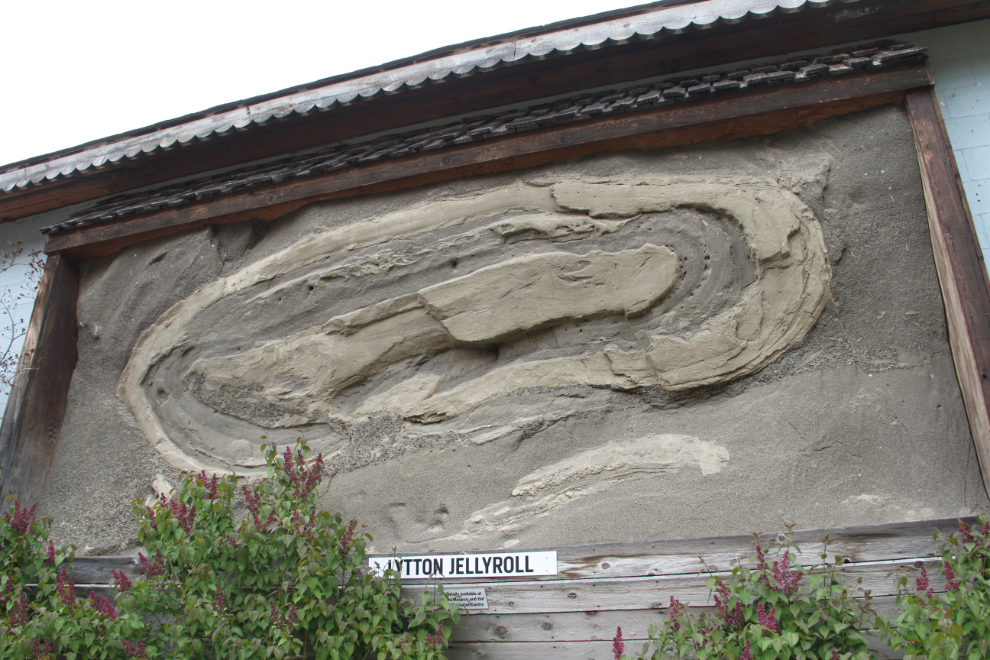
As well as the caboose, Caboose Park hosts a replica of the Lytton Jelly Roll, the largest example ever found in the world of an unusual conglomeration of silt, sand and gravel. It was formed in an ice-bound lake about 12,000 years ago by a down-slope, underwater slumping of material.
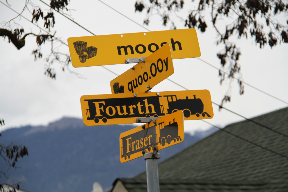
Street signs in Lytton are in both English and the local Nlaka’pamux Native language.
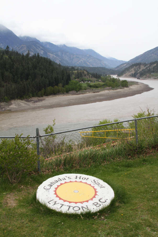
Lytton is known as Canada’s Hot Spot, as it regularly holds that position in weather reports. The hottest temperature so far was 44.4°C (112°F), which was hit on both July 16 and 17, 1941. I find it quite amusing that the Lytton Chamber of Commerce says that: “Lytton has a reputation for being ‘Canada’s Hotspot’ when in fact, other communities in BC and Canada hold the record high temperatures, not Lytton. We can boast about our climate however, as it offers a perfect four-season playground with reasonably warm temperatures in all four seasons. Our climate is one of our appeals.” So it’s not so hot that you don’t want to live here!
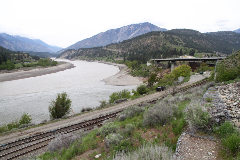
The confluence of the Fraser and Thompson Rivers. The Fraser is the large one, with the Thompson coming in from the right.
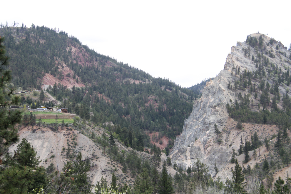
Heading back to Skihist, I stopped to get a photo of dramatic Botanie Rock, with Botanie Rock Farm to the left.
Before going back to the motorhome, I decided to have a look at the campground for future reference.

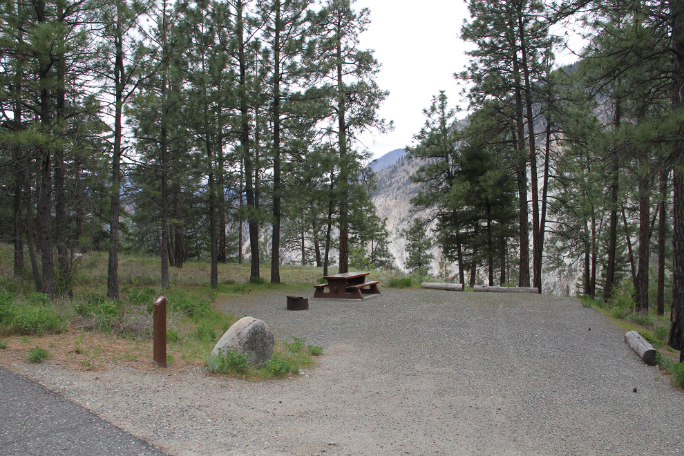
There are 54 vehicle-accessible and 4 walk-in camp sites situated up the side of the mountain. The nightly fee is $23. The entire campground is extremely nice, but seems to get little use.
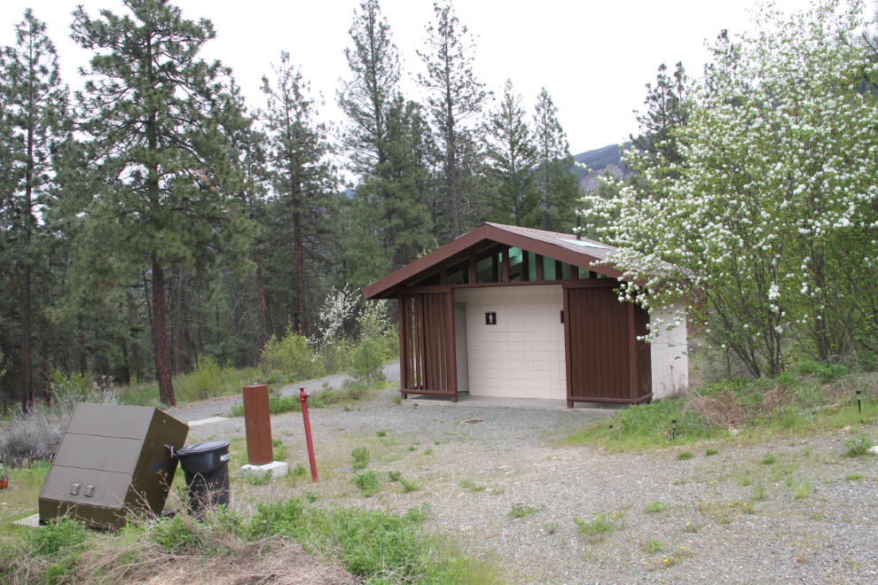
One of the campground’s washrooms, with flush toilets.
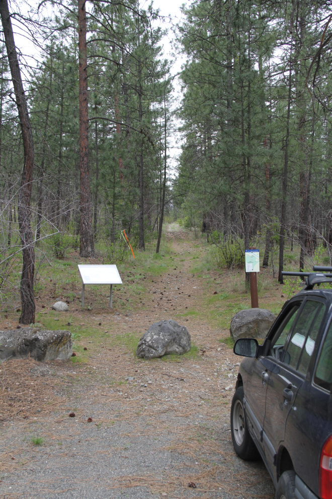
There are about 8 km of hiking trails in and around the park, including this section of the original Cariboo Wagon Road.
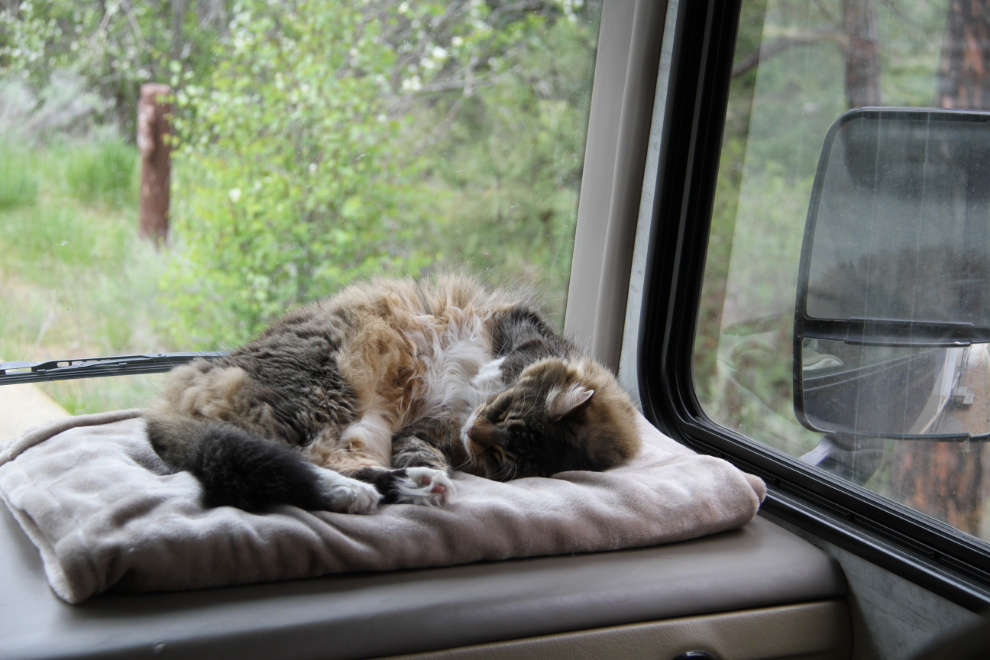
While I was away exploring Lytton and the campground, Molly was enjoying life as a motorhome cat 🙂
Still having problems with the rig, I found that the kitchen faucet was shot, leaking at a couple of places. I went back into Lytton to see if they had a hardware where I could replace it, and met the famous Rocky Mountaineer train.
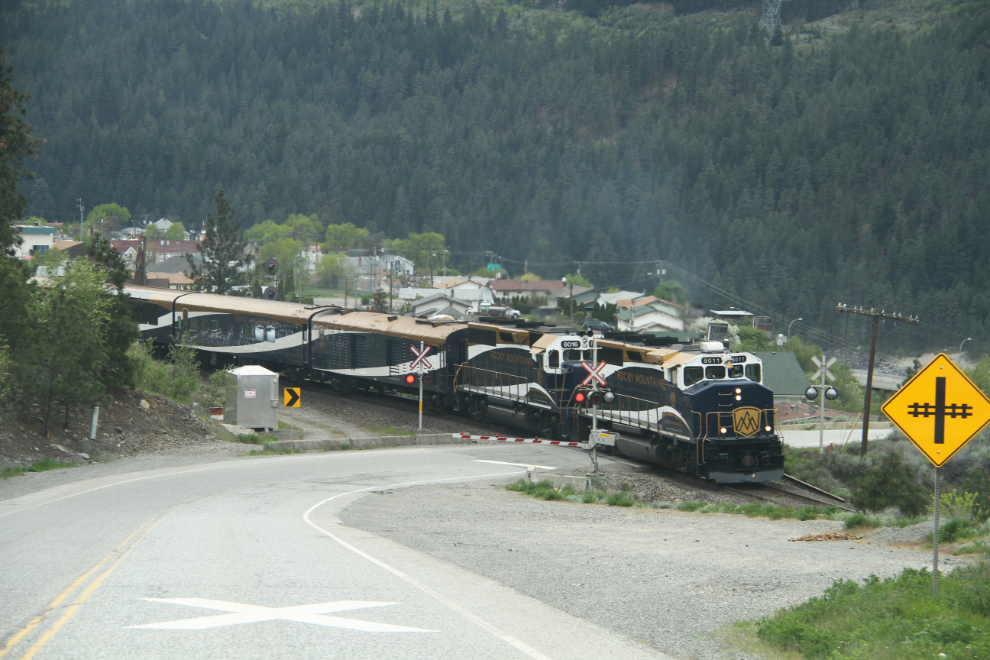
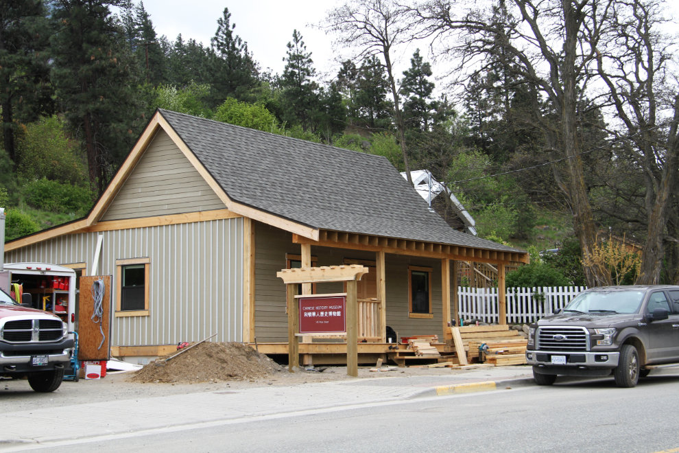
The hardware had recently closed and the closest one was now in Hope. On the way out of town on a different route, I found that a new Chinese History Museum is being built.
Leaving Lytton once I got the Tracker hooked up again, we were now following the Fraser River, so I’m going to make that a new post.