The end of Summer – to Kluane Lake by motorcycle
The e-bike ride on September 13th was excellent so I was really looking forward to getting on the V-Star (“the noisy bike”) for a lengthy ride out to Kluane Lake and back the next day. This is a fairly common ride for me – while the ride isn’t overall as scenic as the White Pass in particular, it’s the power of Kluane that keeps me returning.
It was a rather chilly morning (+3°C) and I didn’t get ready to leave home until almost noon when it had warmed up to 12°.
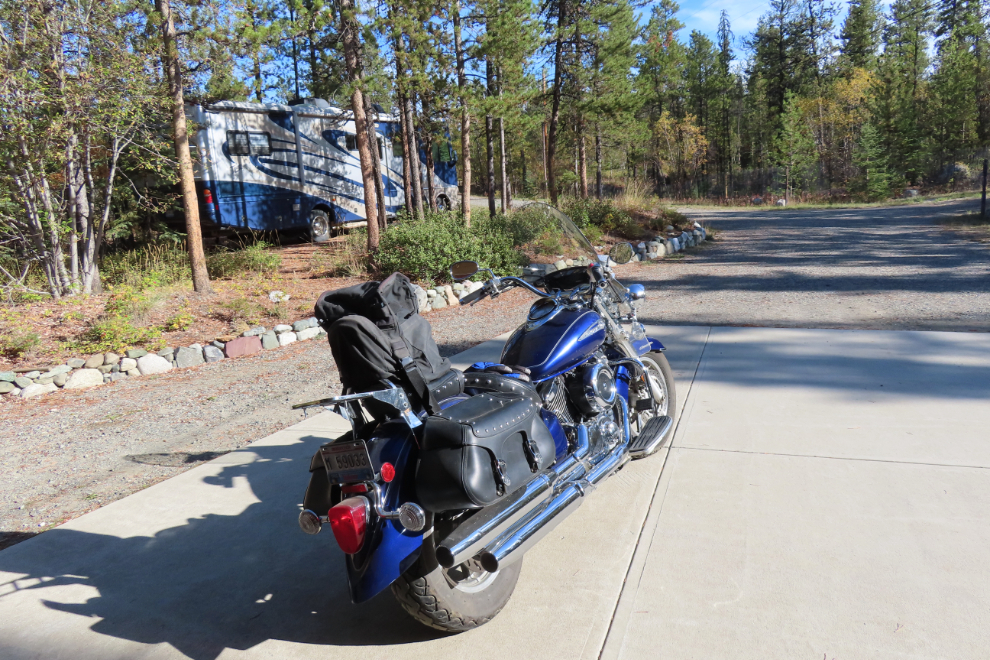
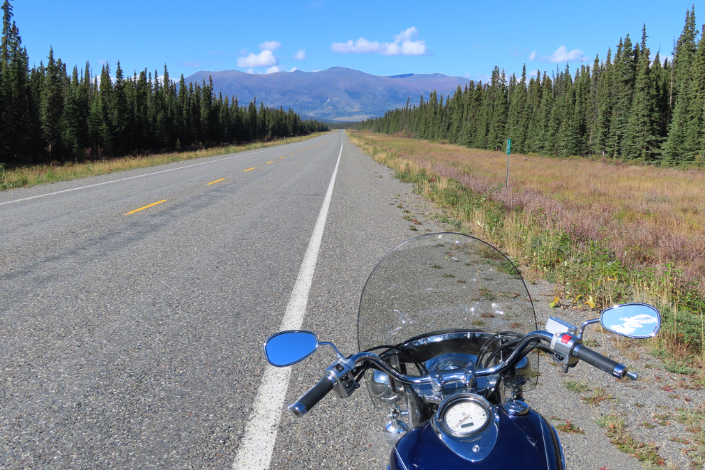
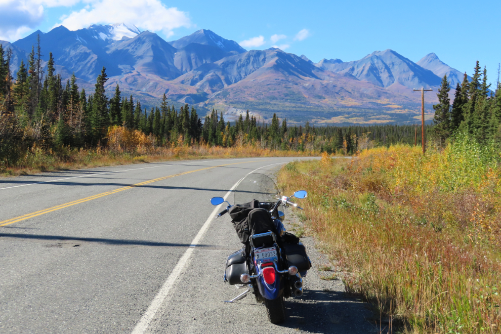
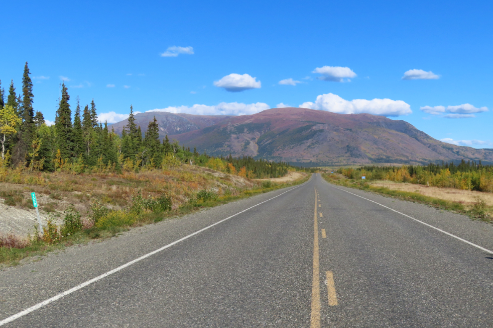
When I pulled over to take the first photo at 12:20 I was on the open road, away from Whitehorse traffic. This was going to be a great day 🙂
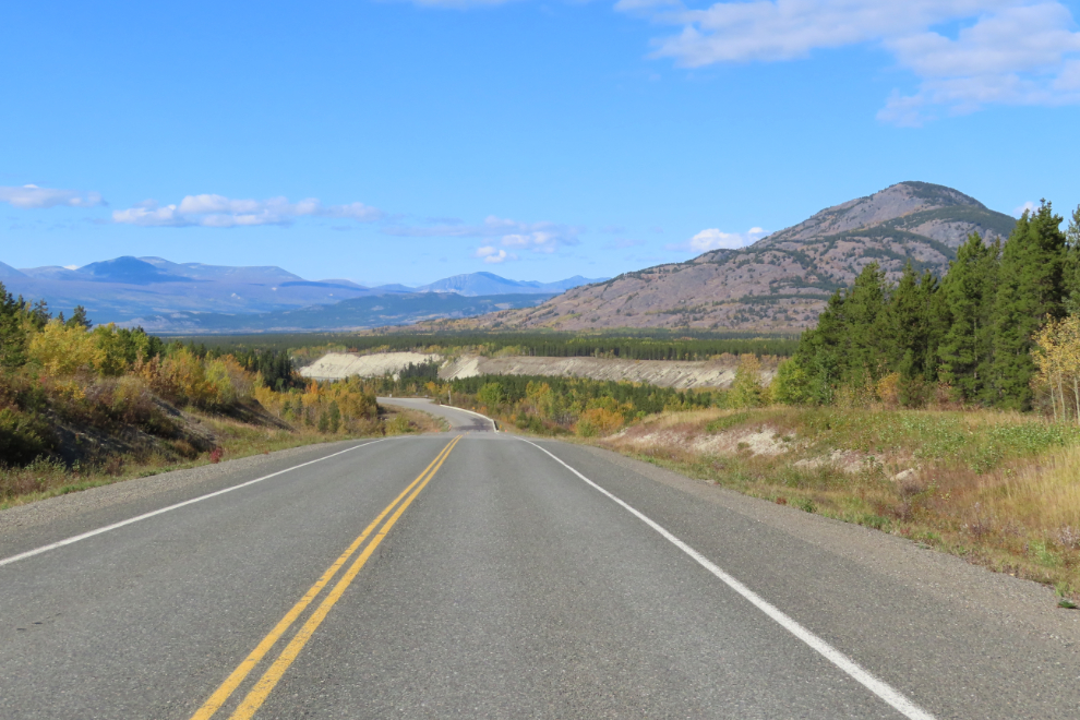
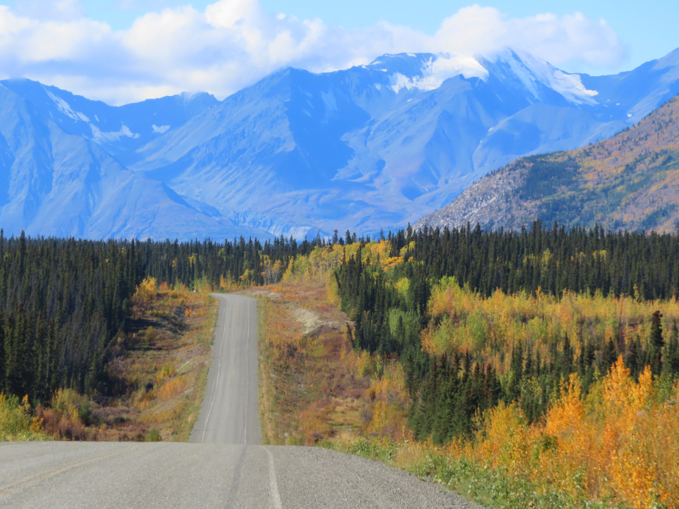
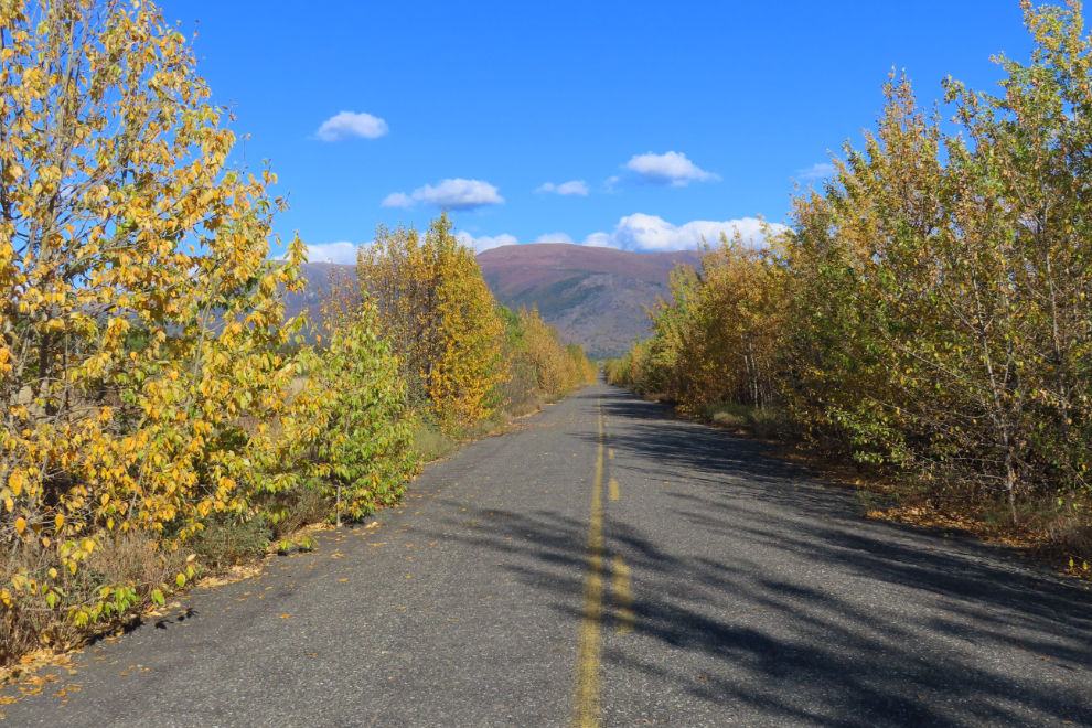
Except for some small areas, the Fall colours aren’t as bright this year as they are some years.
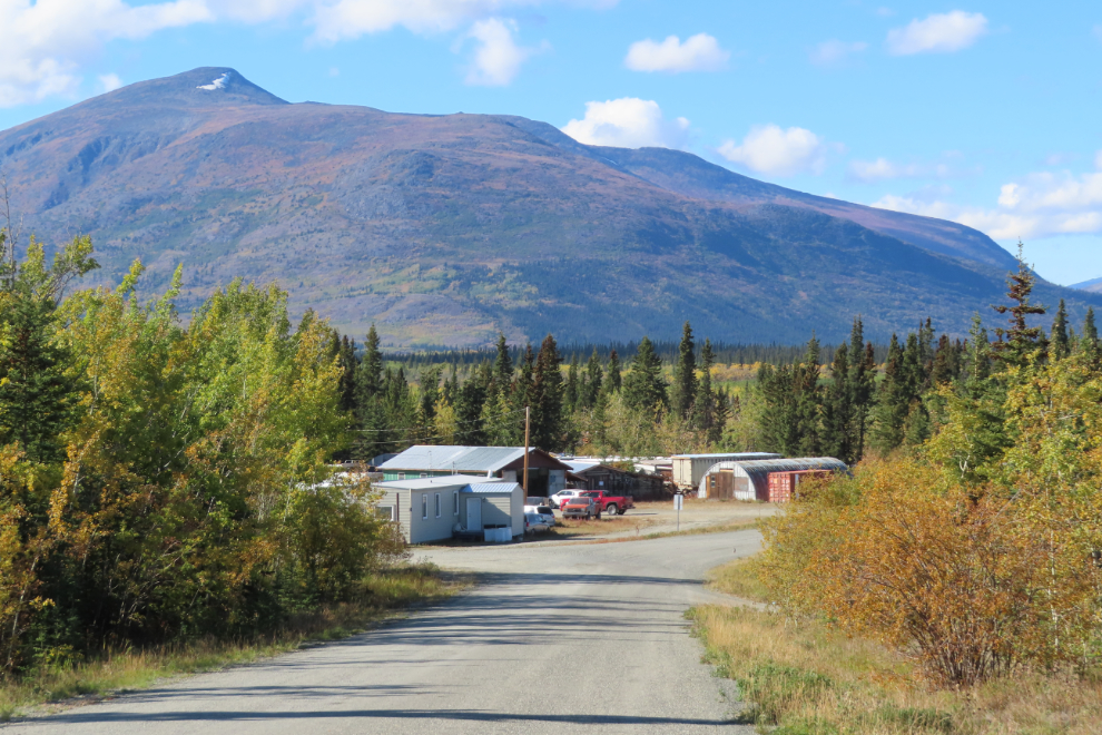
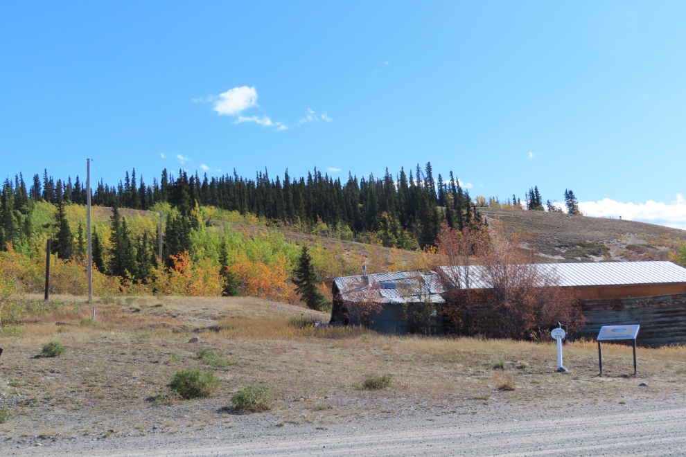
At Km 1504, I took a detour on a section of the old Alaska Highway that runs through the tiny community of Champagne. The main reason was to get photos of the area where a collection of old trucks and a freight wagon used to attract many people – they were removed about two years ago, I think, though I don’t know why or by who.
This photo shows a bit of the truck area on May 21, 2011.
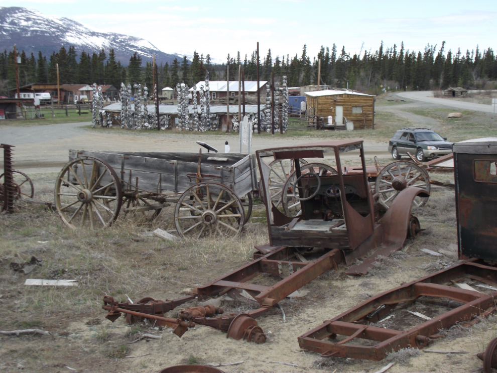
Now, you would never know there had been anything there.
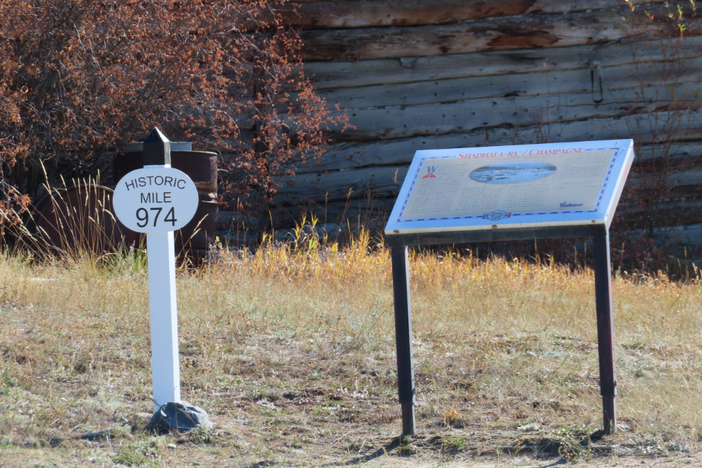
Two of the interpretive signs are still there, but the large one about NWHS Champagne (the North West Highway System maintenance camp) that was erected in 1992 has been removed (it was in pretty rough condition).
The old road to Champagne had been worked on recently and loose gravel made me question my choice, but I got the photos I need to update my community page, and the old road north, back to today’s highway, was nice riding.
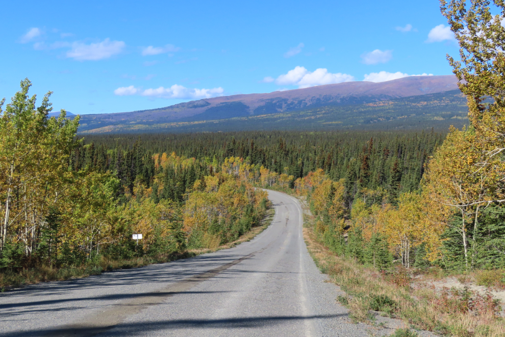
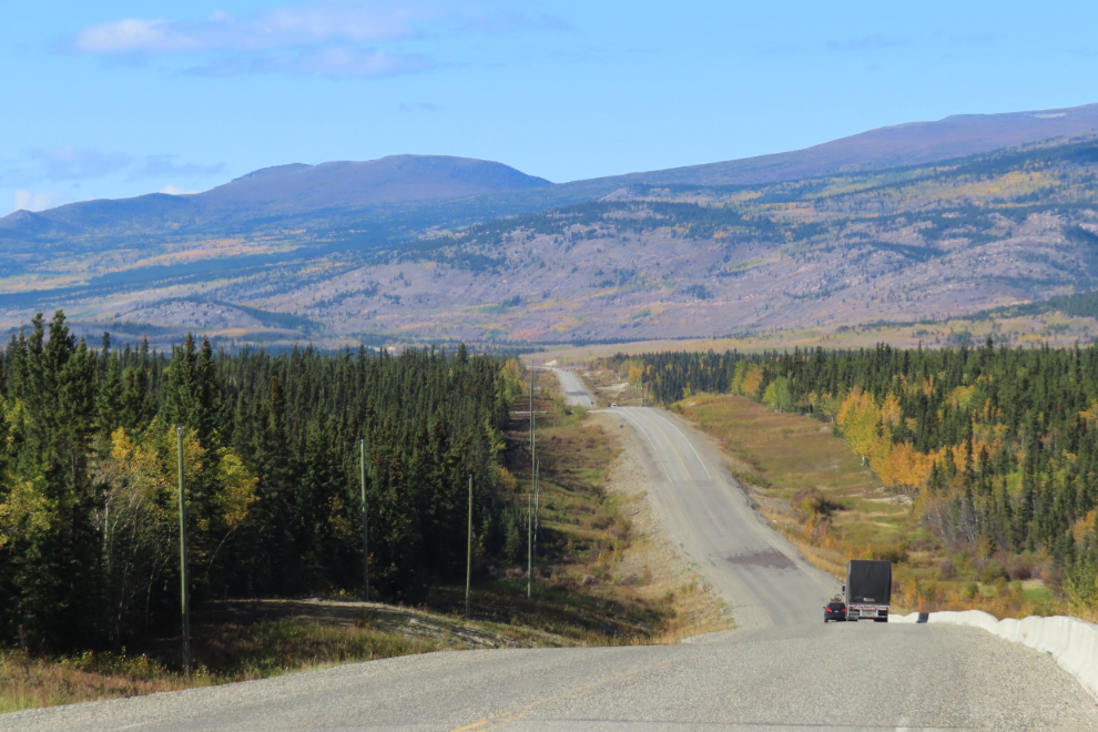
For decades I’ve been taking photos of the Alaska Highway right at mileposts – the next photo shows the Km 1540 post to the right.
At the bottom of that dip is Marshall Creek – shot from the Km 1562 milepost.
I have many photos shot at the Kluane Range Rest Area at Km 1566.
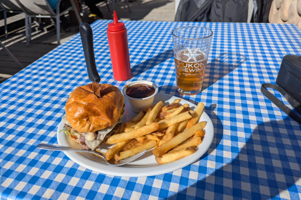
I stopped for a late lunch in Haines Junction at the Mile 1016 Pub, as I often do. The mushroom Swiss burger was excellent, as always.
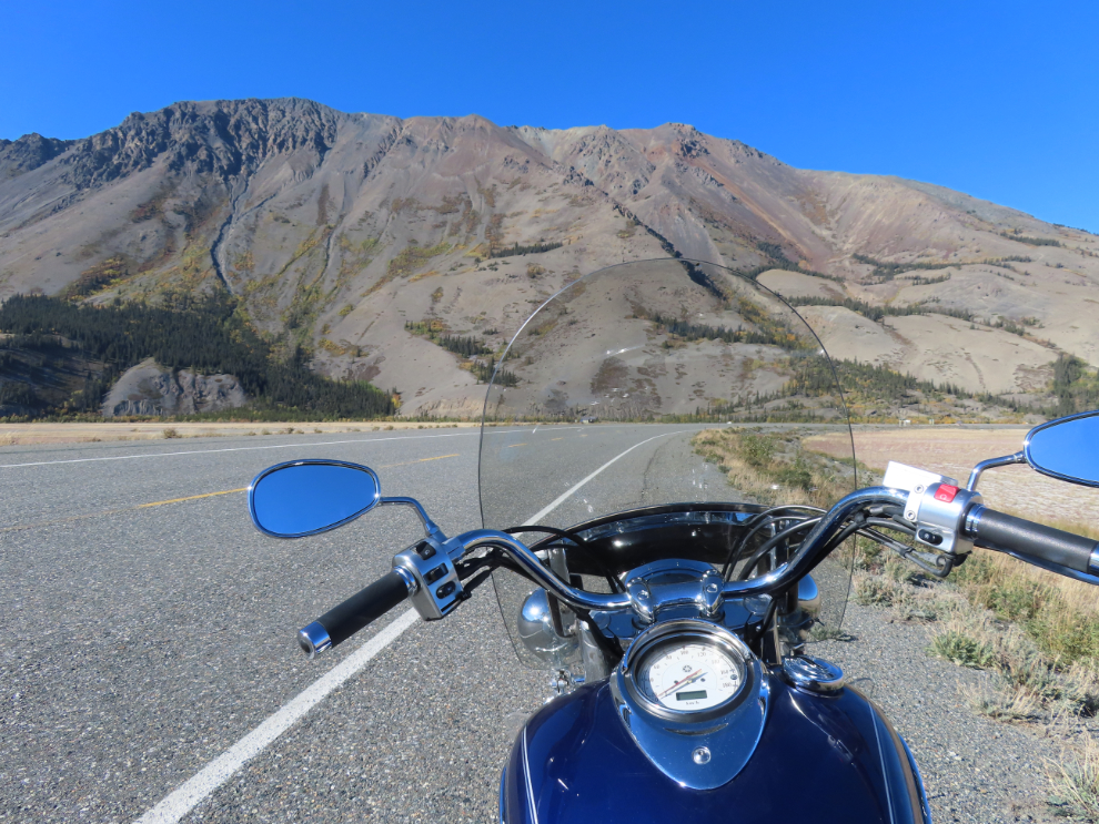
I almost turned around at Haines Junction. The lure of the lake kept me going, though, and the next photo was shot just west at 3:10.
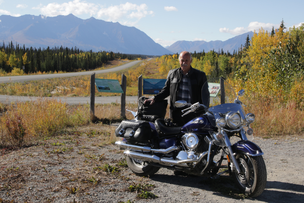
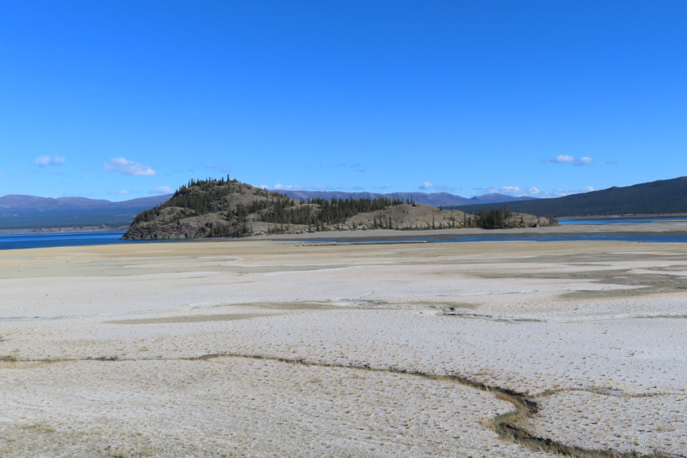
By 3:50 I had reached my destination – that’s Sheep Mountain ahead. I had expected to be able to go for a walk on the beach without all my heavy bike gear on, but a strong and chilly wind killed that idea.
The routes of the channels of the Slims River change often, and there’s a fairly large one now cutting Fish Heart Island off from the pullout at Km 1650.8 where many people hike across the flats from.
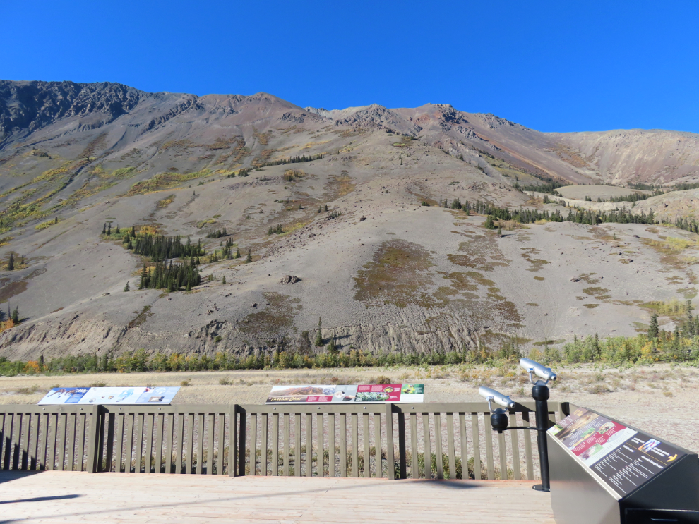
I turned around at that pullout, and spent a few minutes back at the Sheep Mountain interpretive centre (which was closed for the season) spotting thinhorn sheep on the mountain. There were about 30 Dall’s sheep (Ovis dalli dalli), the only wild white sheep in the world, high on the slopes, barely visible.
I only made one stop on the ride home. The final two photos show the new (current) Alaska Highway and the old highway, side-by-side right at Km 1550, just west of Canyon Creek. I’d been thinking about getting this pair of shots for a long time and finally, with the light perfect and the stars apparently aligned, made a U-turn and got them.
Well, that’s the end of Summer postings here for a few months. Cathy and I are flying to Vancouver this morning for a very brief (one night) stay, and the weather forecast is for 20 and sun there, but I’m not likely to be posting about that trip.
Hi Murry,
I’ve been following your blog often and on from the beginning. I left the Yukon in 1989 for Ottawa just before you arrived, and although I have been back to visit many times over the years, our paths have never crossed. I worked in the early 1980s as a reporter for the Yukon News and picked up writing again as a freelancer for the Star, occasional opinion columns in the dying days of that great newspaper. Two summers ago I returned to the Yukon to visit with my old friends John Firth and Jim Butler. Jim and I worked as competitors in the early 1980 and became good friends. John I have known personally for almost 40 years. I just read with interest your recent blog about your road trip to Kluane Lake. Jim and I along with my brother-in-law Ted did that trip in July 2024. If you follow the old highway just off from the park interpretive centre, it dead-ends at the base of Sheep Mountain. You probably already know this. There is an old trappers cabin, only yards from the original highway and attached to it is a shed, probably originally for hanging game or pelts. We got out and walked around and as I poked my head inside I did a double take. Inside was a full size mannequin of a First Nations woman in traditional garb standing at a personal computer. After recoiling from my initial shock, I started to laugh. The local Burwash Band was pulling a good one over on the unsuspecting tourists. If you haven’t seen this already, check it out before somebody removes it. I can send you a photo of this if you want to post it on your blog Keep up the great work…it’ brings back a flood of memories every time I click in.
Hi Kevin. First, I apologize for the tardy response – it’s been a crazy Fall. It’s now 10 years since I was startled by that mannequin at the Fisher cabin at Sheep Mountain. I wrote about it at https://explorenorthblog.com/yukon-rving-exploring-around-kluane-lake-part-2/ then a CBC reporter followed up on it and found the artist, Kelly Wroot 😀