Sailing from Saltery Bay to Earl’s Cove on BC Ferries’ Island Sky
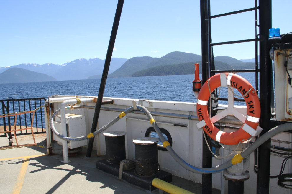
Our third sailing on a BC Ferries boat, the Island Sky, took us on the 9.5 nautical mile crossing from Saltery Bay to Earl’s Cove on Day 40 of the trip, June 4th. It was a gorgeous day for this particularly scenic ferry route, which takes 50 minutes according to the BC Ferries schedule.
As usual, I was up early writing that morning. As is often the case, my dedicated blogging intern, Molly, was hard at work as well at 05:30.

The Saltery Bay ferry is only a few minutes drive away, but we left early to allow another stop at Saltery Bay Provincial Park. It’s a wonderful spot for another dog walk, and Tucker was particularly enthusiastic about it. I need to try to get a video of his funny foot-marking dance 🙂
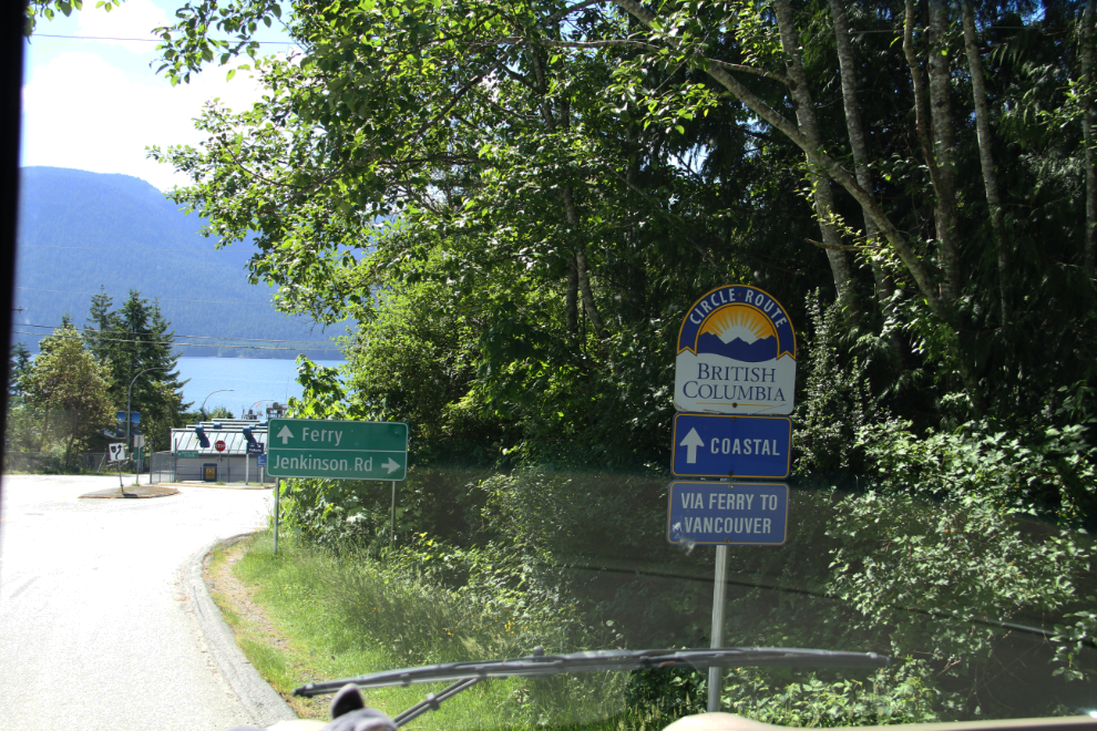
Arriving at Saltery Bay at 10:40. During this trip, I’ll be driving or ferrying about 95% of the 564-km (350-mi) Coastal Circle Route. Only the section from Horseshoe Bay to Richmond will be missed, and “been there done that” section many, many times before. Hello BC says to allow 3 to 7 days for the route – I took 36 days to get it and some side trips done this time 🙂
At Saltery Bay, you pay for the next 2 ferries – Saltery Bay to Earl’s Cove, and Langdale to Horseshoe Bay. The cost totalled $257.35 for me and 51 feet of RV. Having an Experience card saved $15.70 on this ticket.
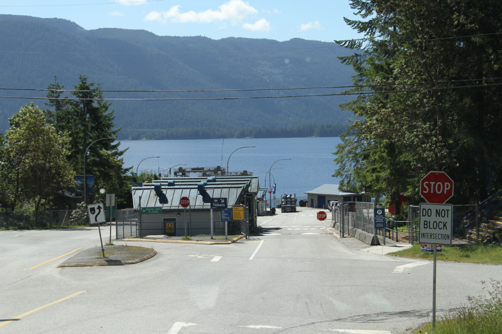
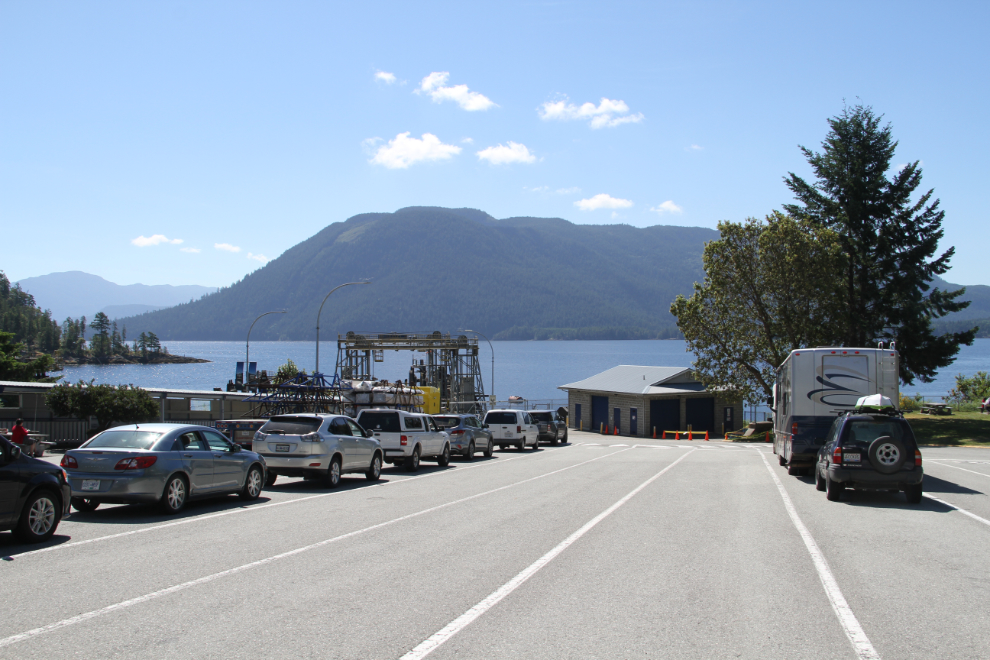
A general view of the terminal.
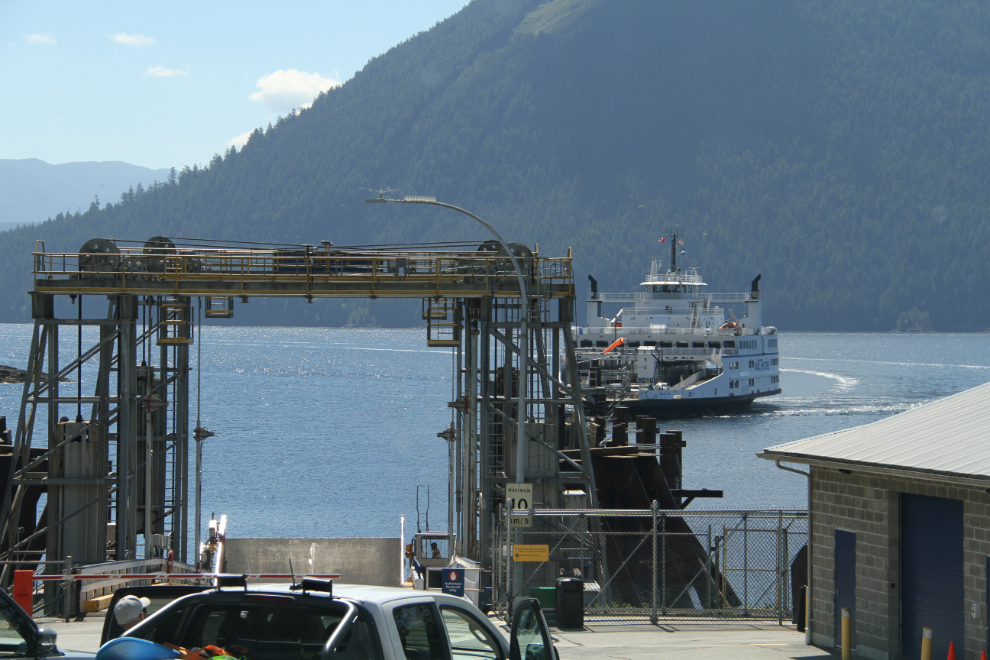
The Island Sky approaches the dock at 11:05.
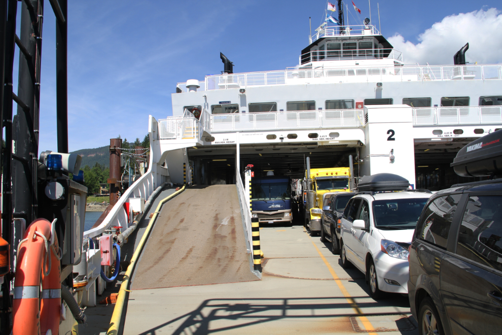
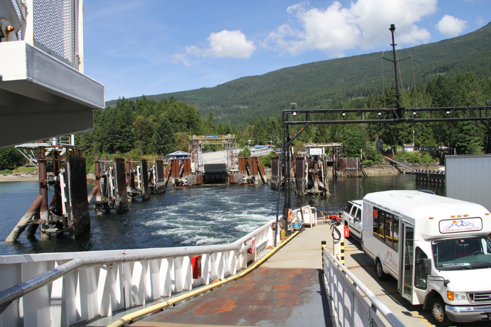
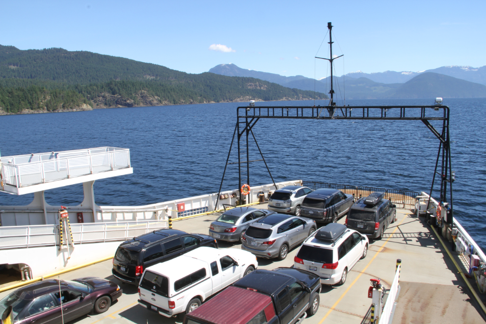
Loaded and ready to depart. As has been the norm for the past month, the ferry was at perhaps 25% capacity.
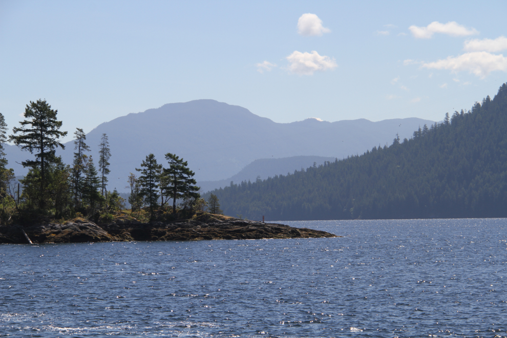
I’m sure that you never get tired of this incredible coast even if you sail it regularly. Just as I never tire of the drive to Skagway, even after doing it hundreds of times.
Pulling away from the Saltery Bay dock at 11:25.
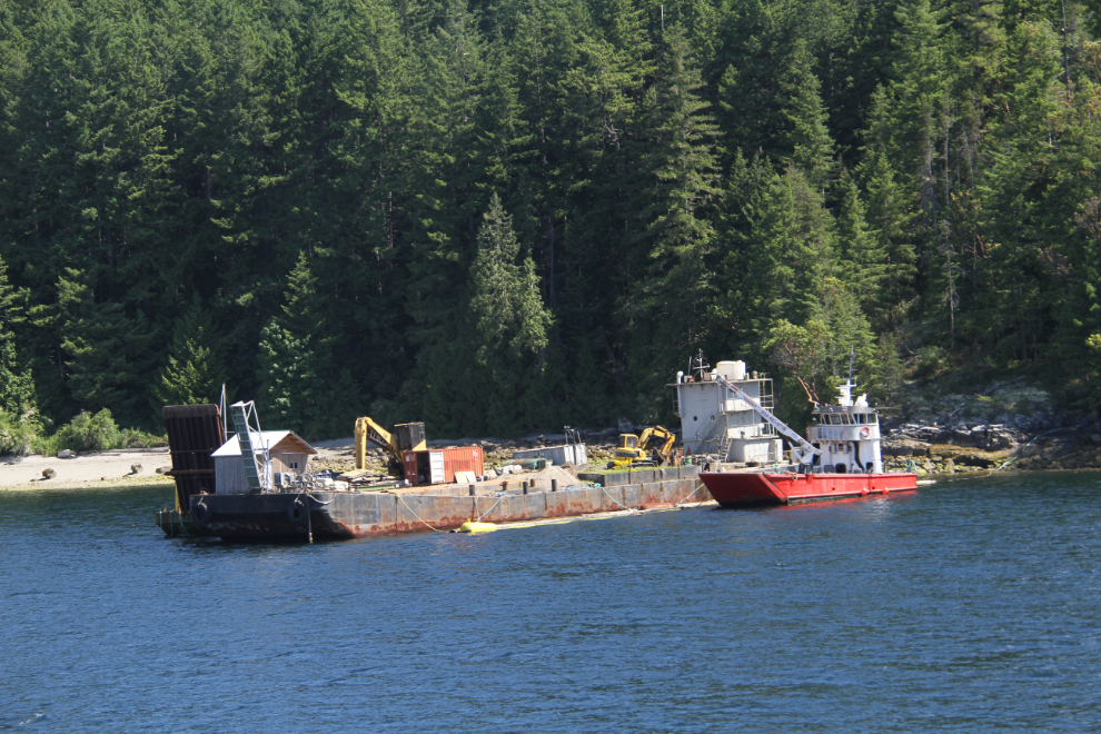
I couldn’t figure out what exactly this pair of obviously very specialized vessels in Saltery Bay harbour was doing. Neither had a name visible so I could try to Google them. Something construction related…
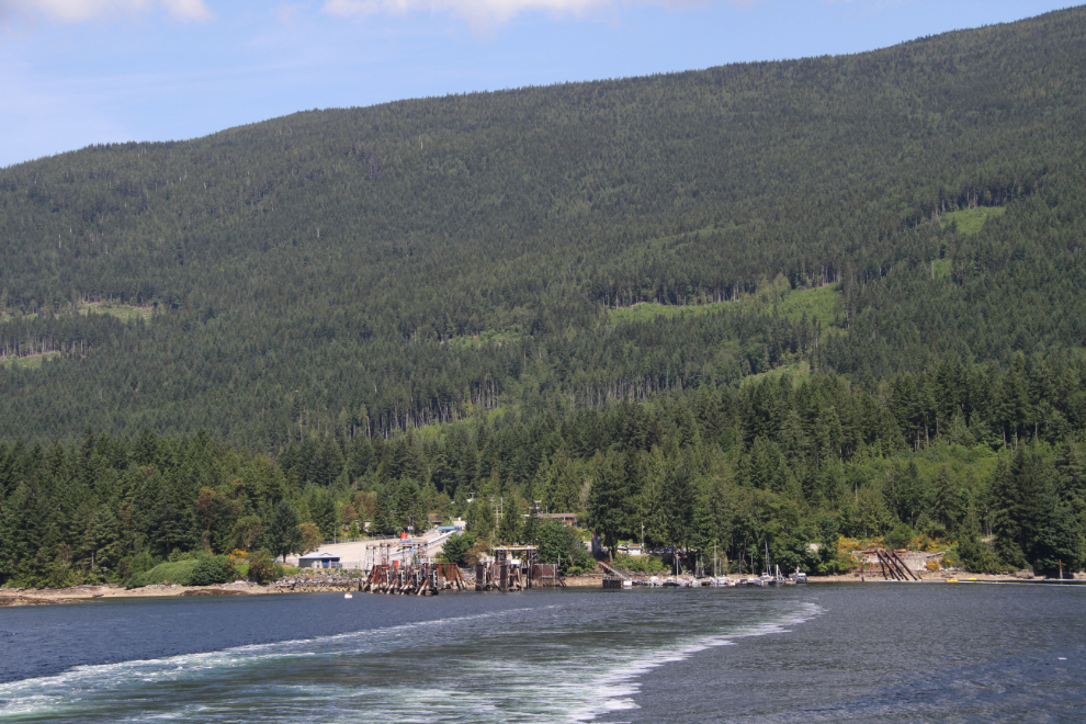
Goodbye, Saltery Bay – it was a great visit, and I hope to be back with Cathy some day.
The Island Sky has a comfortable lounge area…
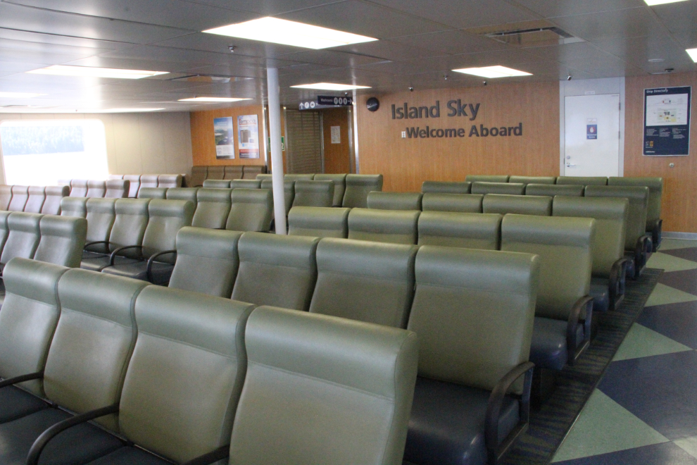
…but pretty much everyone was outside enjoying the warm sun this day.
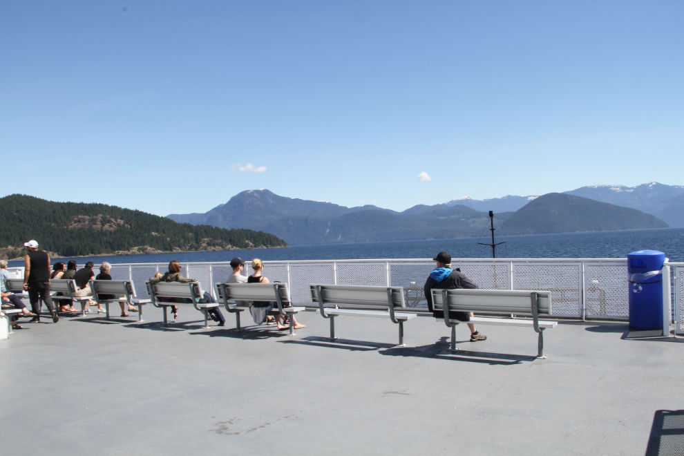
There’s not really anything to say about some of the photos….
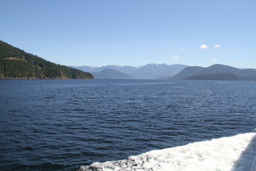
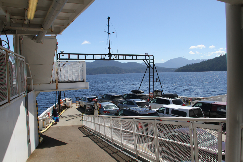
The ramp I was on to take this photo is an upper car deck.
A power line stretching across a channel that must be well over a mile wide. I wonder at what point a marine cable becomes the better option.
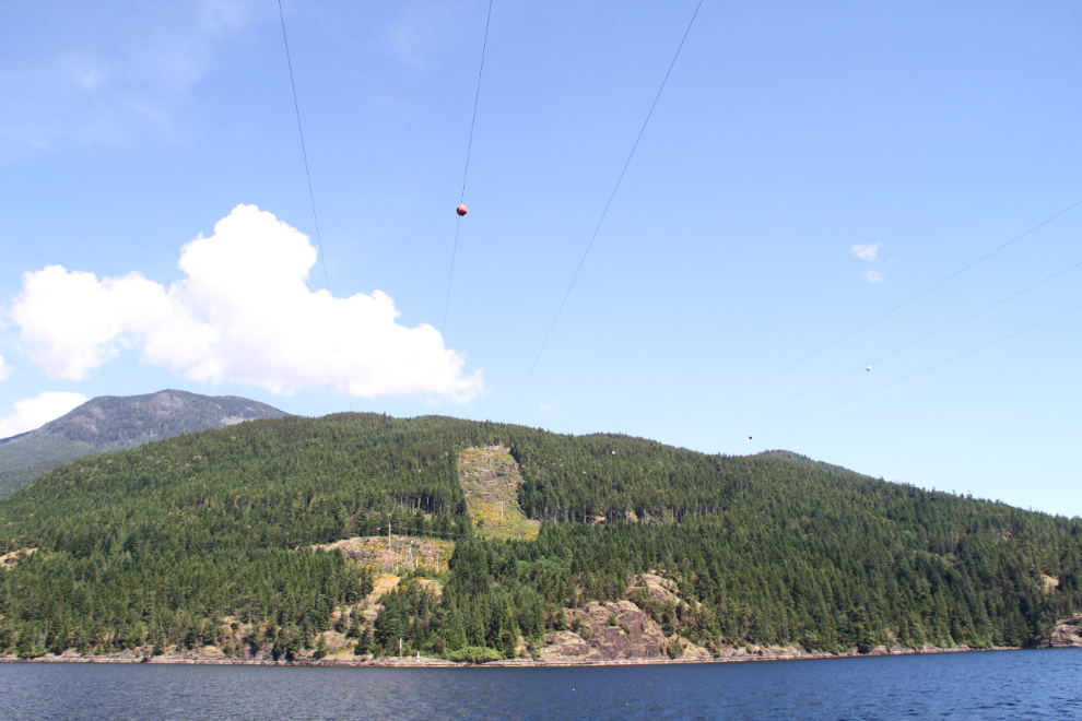
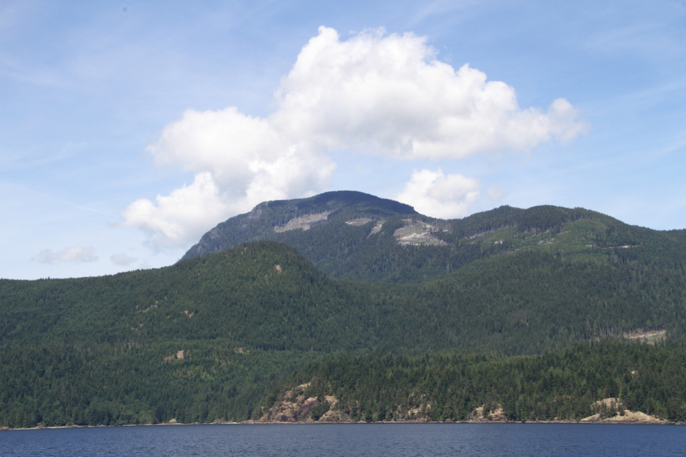
Some of the logging cut blocks we passed were very high on the mountains. That must have been some fine timber to justify building roads up there.
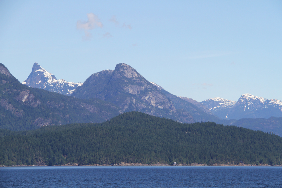
In the full-resolution photo, half a dozen cabins and homes can be seen along that piece of shore.
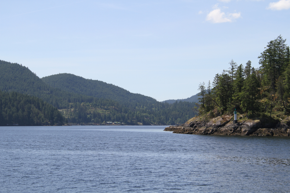
The light on the right marks the entrance to Earl’s Cove. This photo was taken at 11:55.
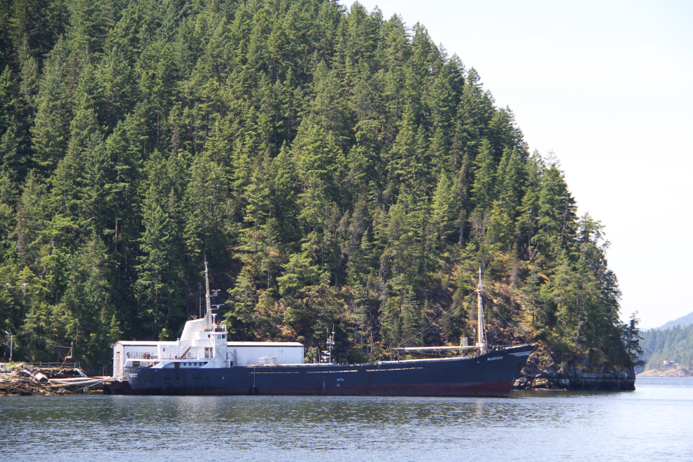
The coastal freighter Klassen was tied up at a private dock beside the ferry terminal.
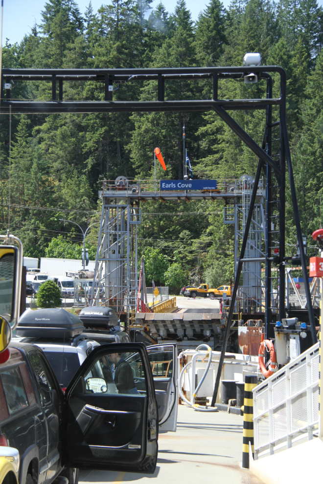
About to dock at Earl’s Cove, at 12:10.
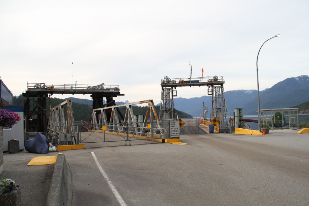
Once ashore, I drove up to the Timberline RV Park, and decided that it would be suitable for my planned 2-day visit. I’ll tell about the rest of the day in the next post, but at the end of the day, I drove back down to the ferry terminal and took some photos of it for the record.
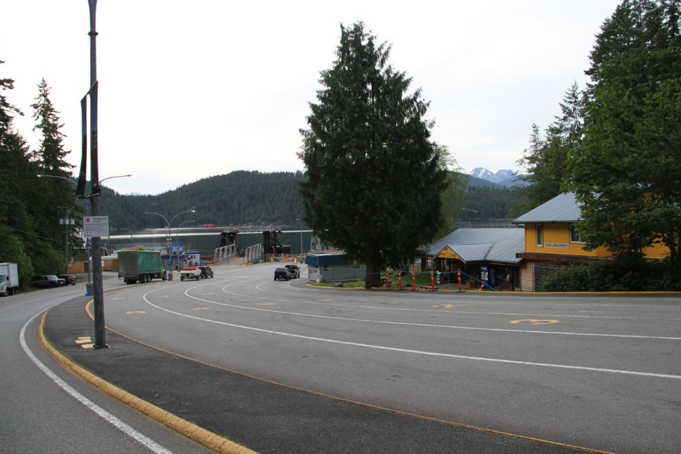
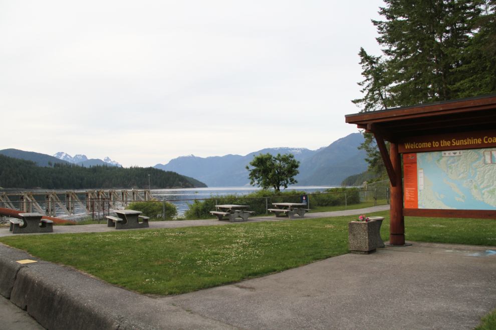
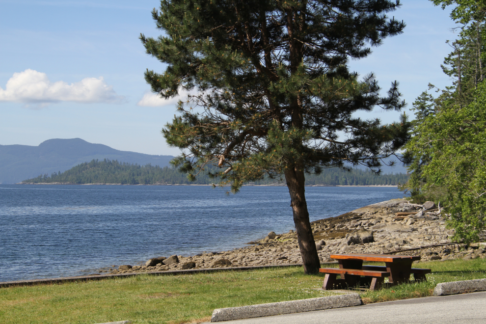
On a sunny day, this picnic area would be a lovely spot to wait for the ferry.
