Road therapy – peace among the peaks
I have never found a better salve for the wounds inflicted by emotional trauma than heading off into the mountains. After a difficult weekend of second-hand trauma, I was blessed today by as spectacular a day as I’ve ever seen on the South Klondike Highway. Here’s a brief look at some of the 96 images I shot.
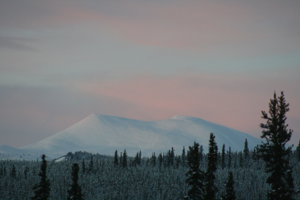
The first was shot at 09:30, 5 minutes before sunrise, with the temperature at -21°C.
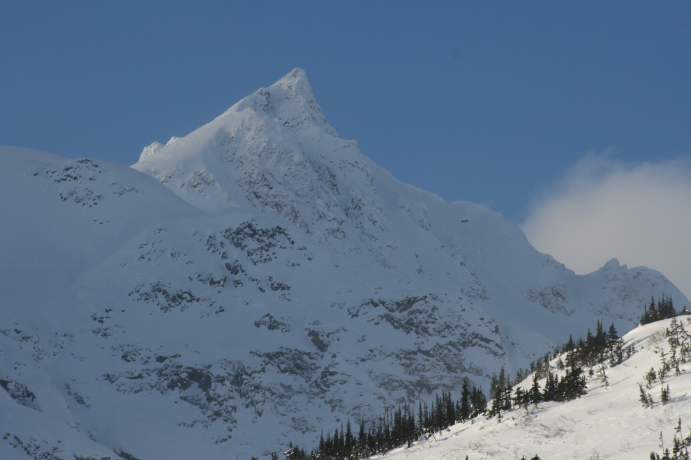
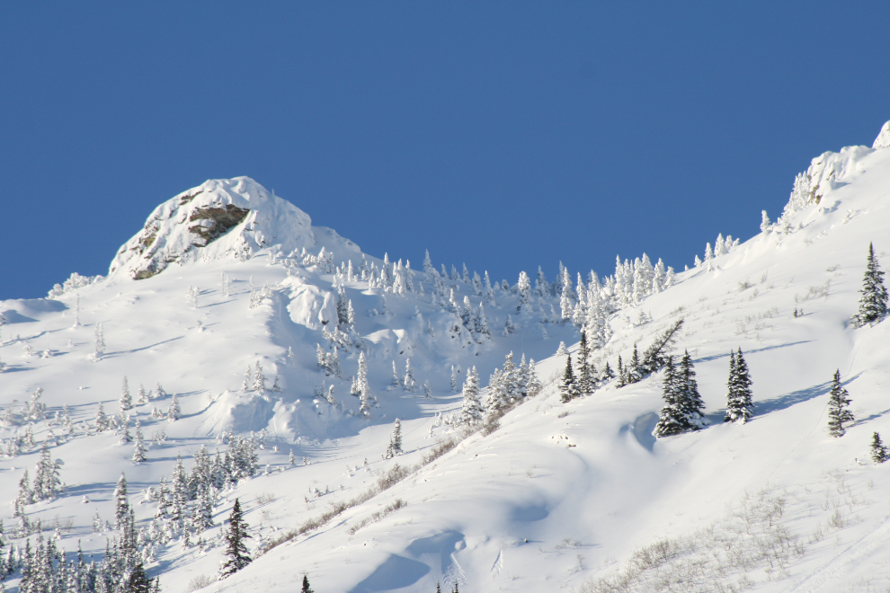
Gray Ridge.
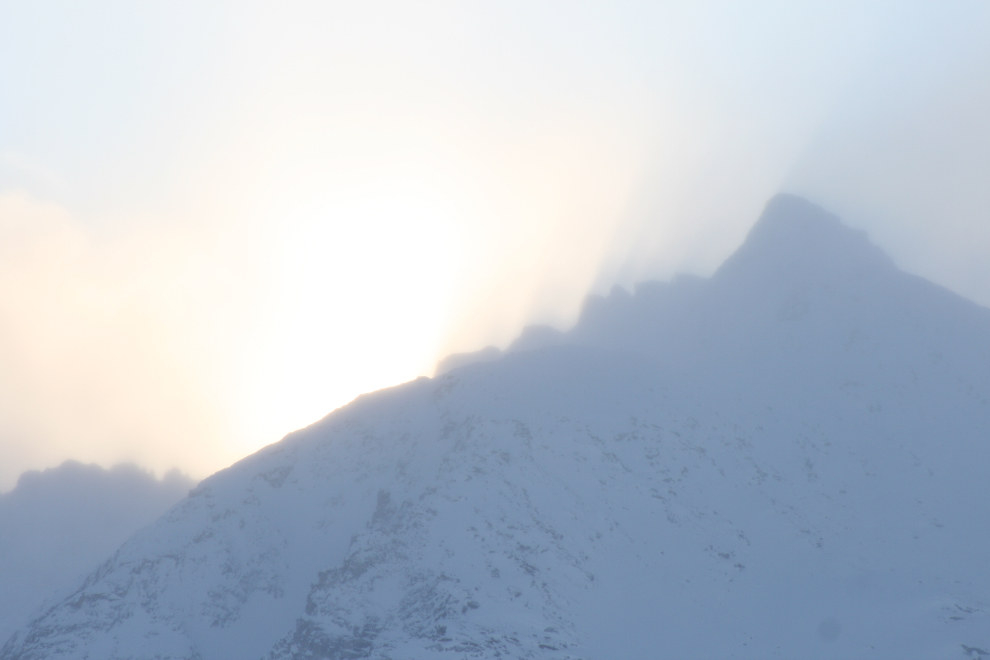
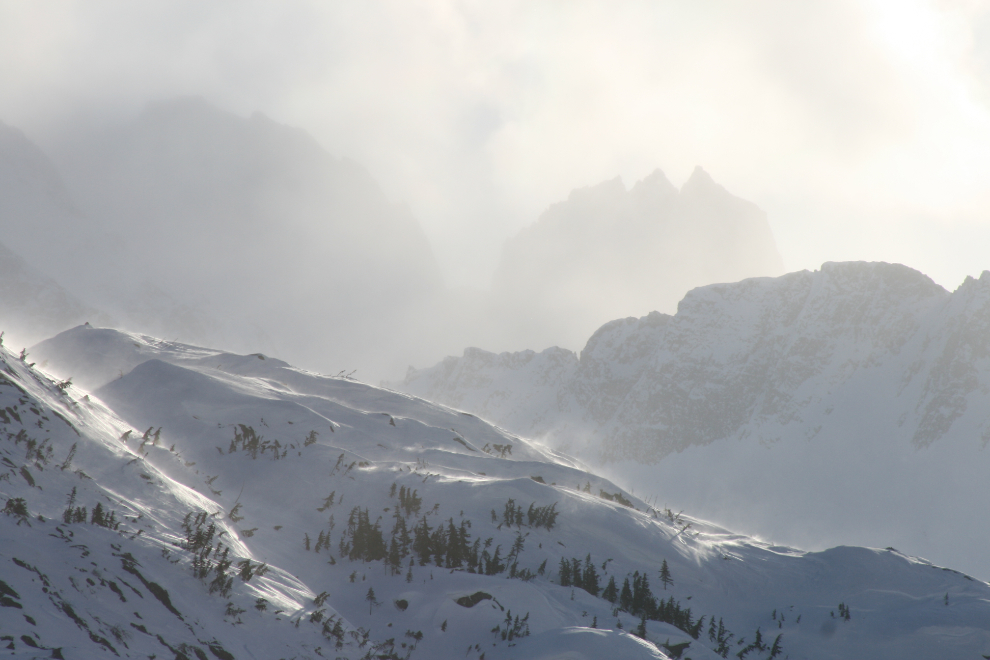
Spindrift obscures the peaks surrounding the White Pass.
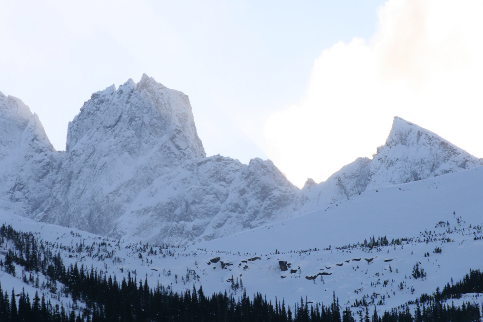
This block of granite towers over Goat Lake. You would think that a mountain this dramatic would have a name, but like the vast majority of other mountains in this region, it doesn’t. I know some tour guides who just make up names because many people from Outside think that the mountain does have a name but the guide doesn’t know it and so says that it’s unnamed. 🙂
3395.jpg
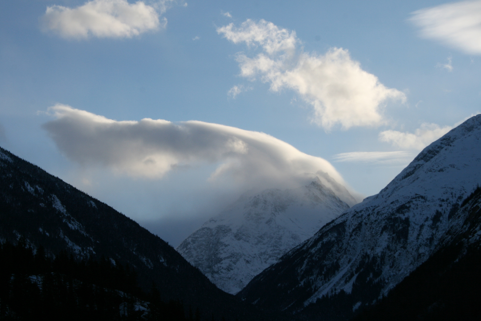
This cloud over Mount Hetty, formed by the high winds off the coast, is quite unique.
The ice-coated streets in Skagway may be there for some time yet – the temperature only got to -4°C today and it will be a few weeks before the sun hits Broadway again.
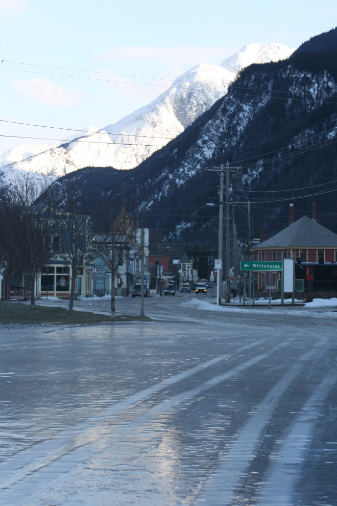
My visit to Skagway was very short due to the wind and ice, and I headed north again.
This is the sort of day that could quickly kill a person with no shelter and improper gear. It was a superb day to be wandering with a camera in a warm awd car, though 🙂
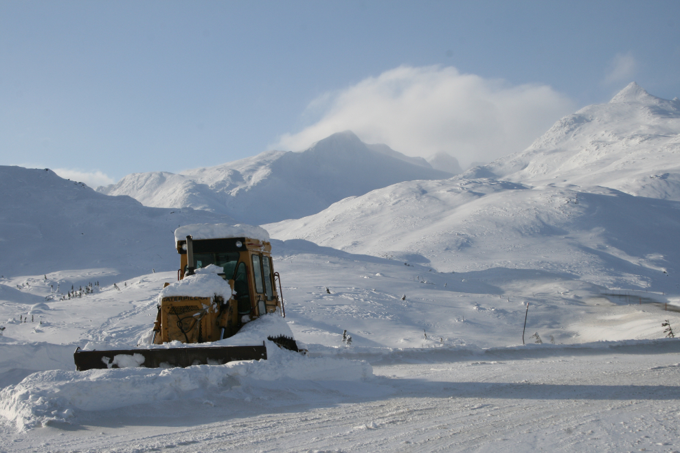
This Cat at Km 25.1, Outhouse Hill, has been resting for a while. I actually don’t know when a cat would be used.
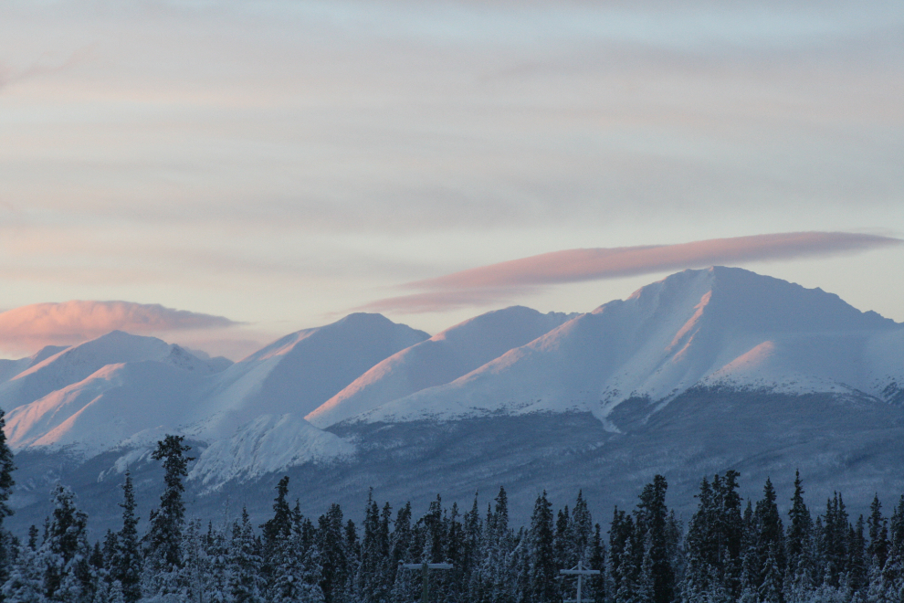
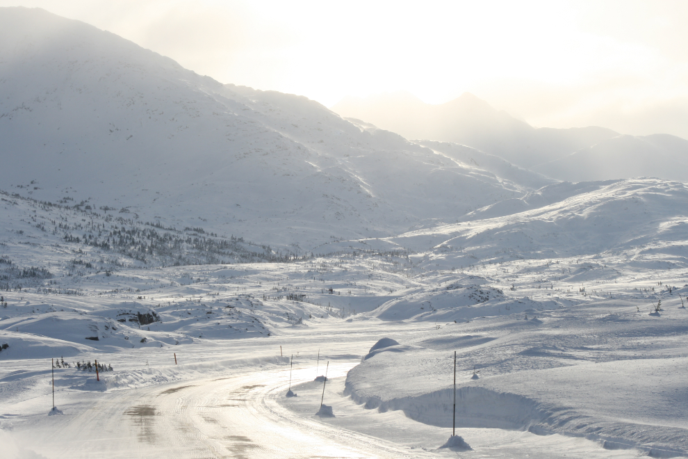
Looking back to the south, over Summit Lake.
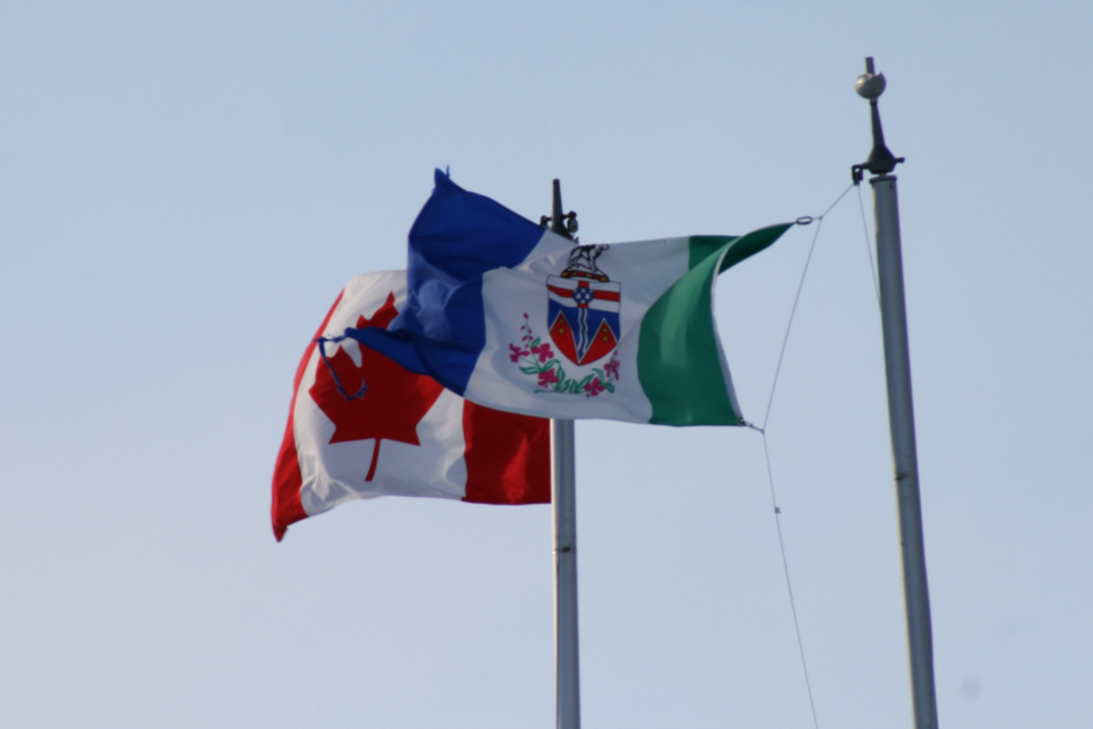
The Canadian and Yukon flags flying at the Canada Customs post at Fraser, British Columbia.
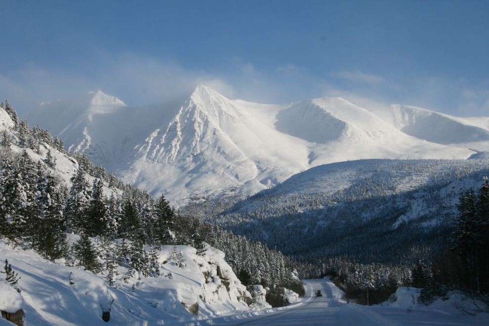
The view northbound at Km 52 often stops me for a photo or three 🙂
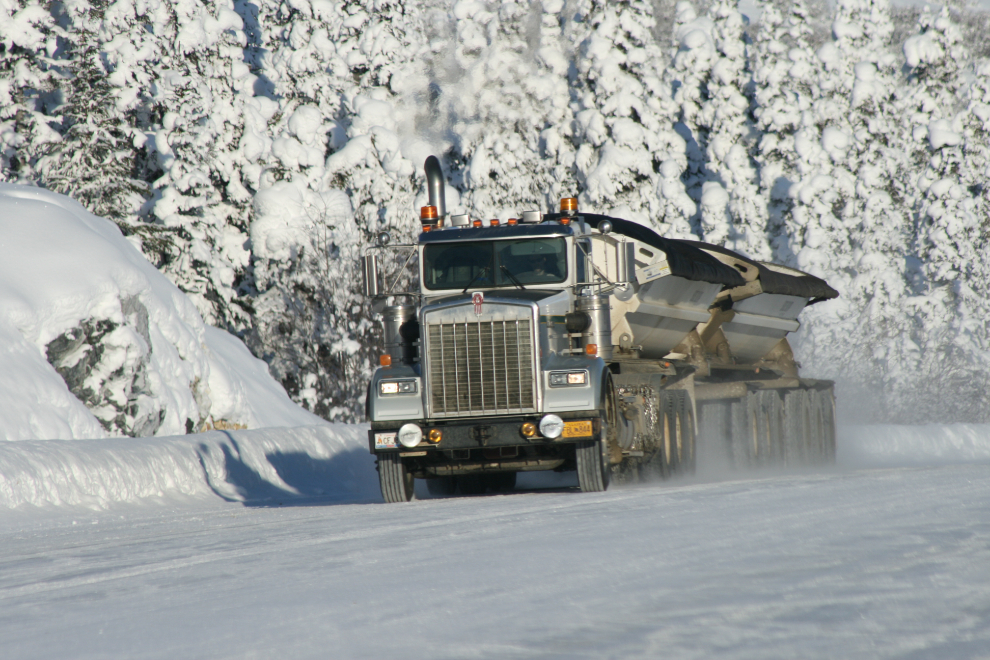
There were a few trucks on the highway today but it was nowhere near as busy as last week.
I made many photo stops!
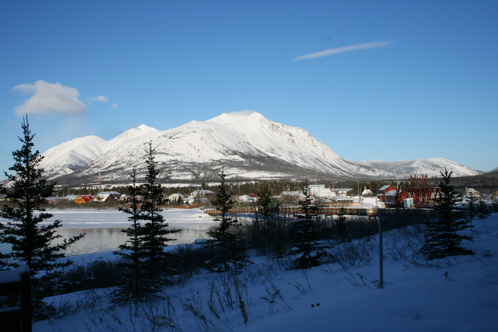
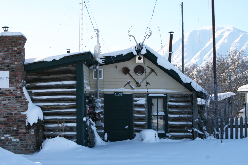
The historic Bobby Watson cabin at Carcross.
The final stop of the day was a hike in to our cabin to check on it, and to get a new “webcam” photo.