Late-Fall exploring along the Top of the World Highway
Friday, September 23rd, was mostly a day of wandering along the Top of the World Highway back to Dawson City, exploring some side roads along the way.
The world didn’t look the way I had expected it would in the morning. Despite heavy rain, strong, dry winds from the Alaskan interior had dried up everything except a few now-frozen puddles. I started the day off by driving the Tracker back towards Dawson a few k to see what photo ops dawn might present. What a place!
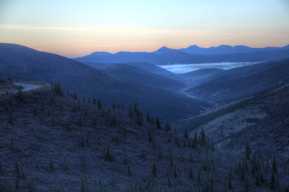
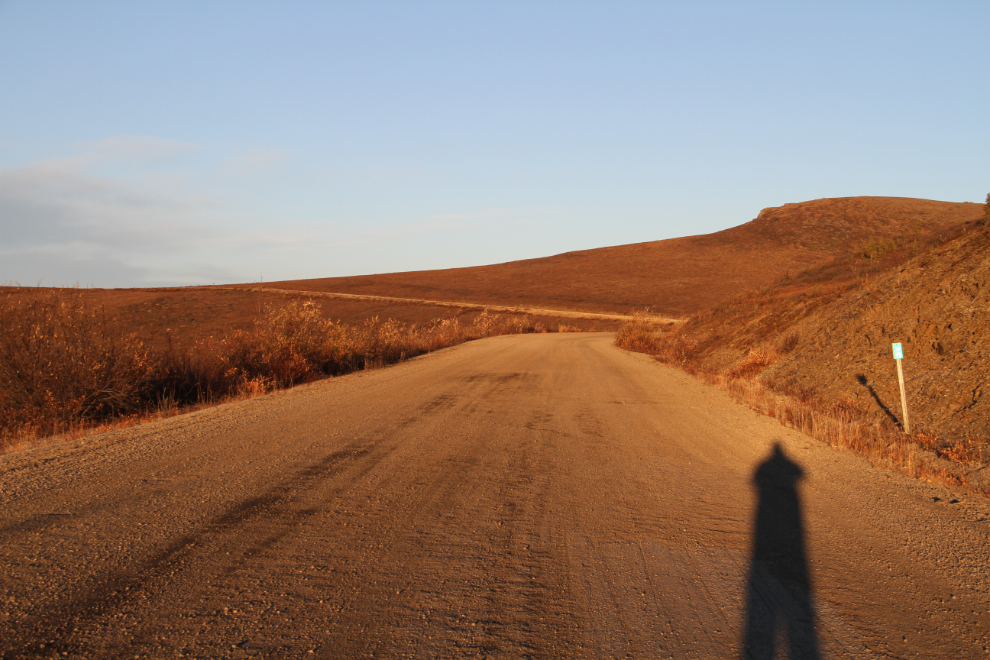
I drove back as far as the rest area at Km 86.3 (from Dawson – 18 km from the summit where I camped). The Milepost says that this was a stopping place for the McCormick Transportation Company, which I expect was hauling supplies into the Sixtymile gold district. The colour in this and the next few photos hasn’t been altered – the dawn light up there was absolutely stunning.
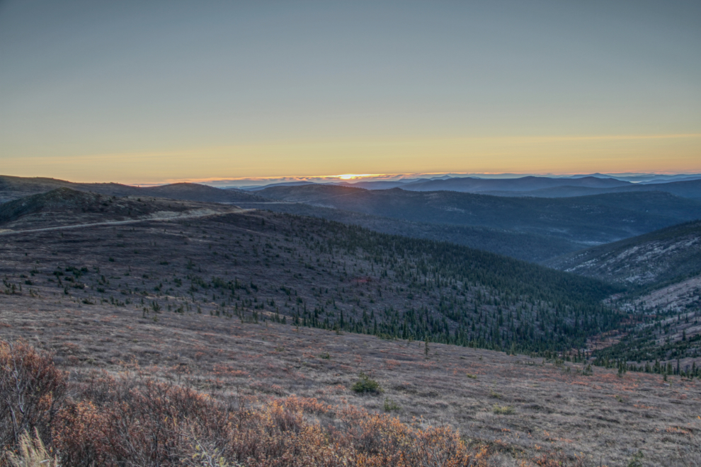
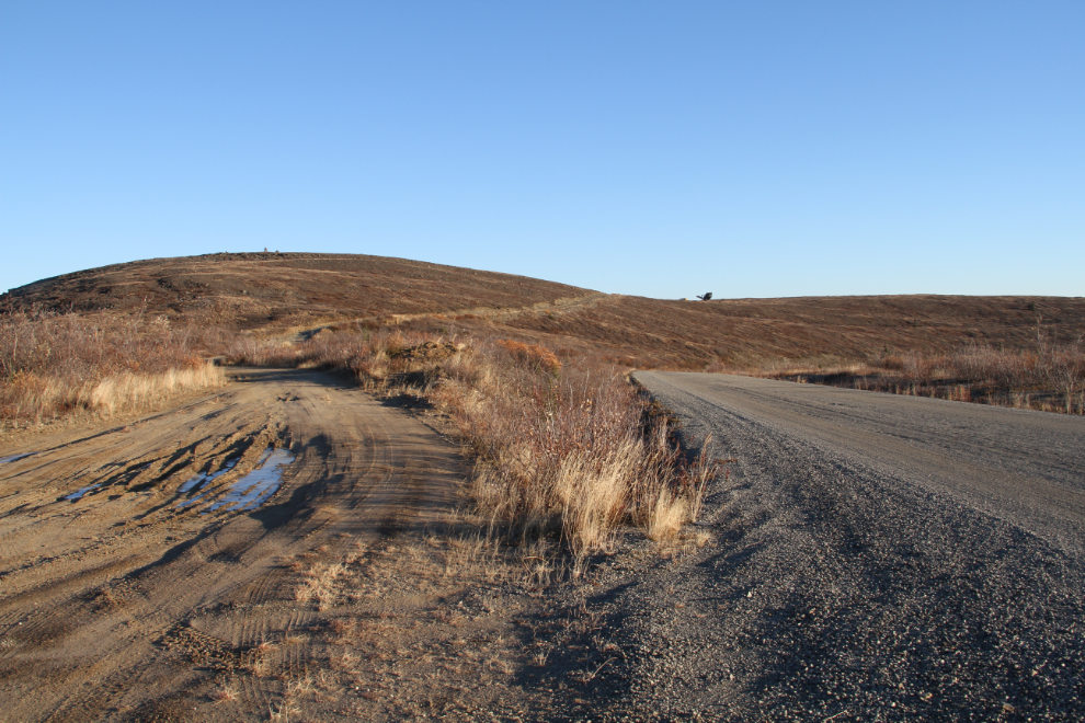
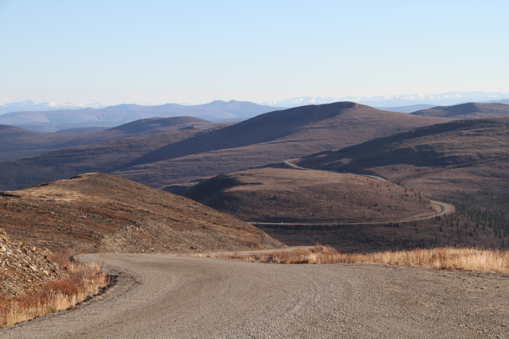
Heading back on the Top of the World Highway to the summit was slow, as there were a lot of photos to shoot 🙂
Km 96, which is 8 km from the summit.
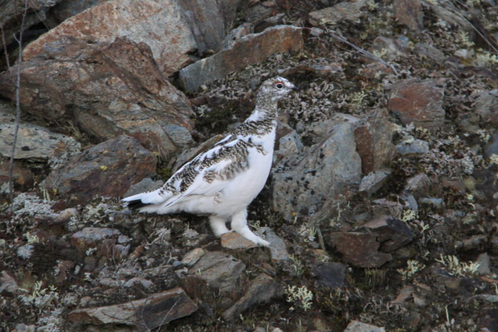
Just before Km 100, I encountered by far the largest flock of willow ptarmigan (Lagopus lagopus) I’ve ever seen, and they were very vocal. There were about 50 of them on both sides of the road – there are 12 in this photo.
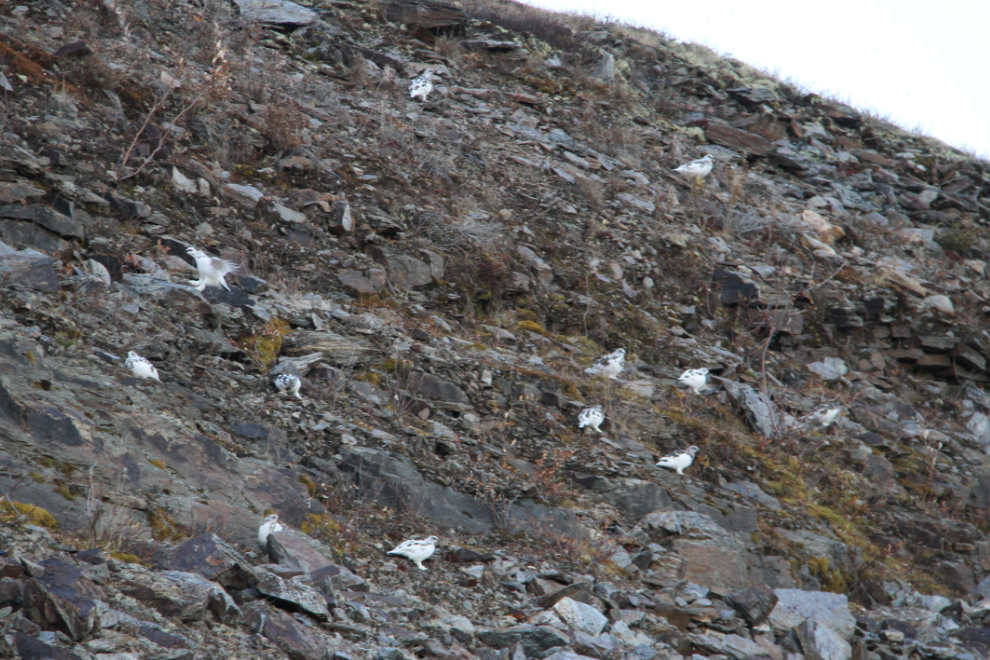
They’re beautiful birds, especially in Spring and Fall when they’re changing their plumage.
Nearing the summit, a rough mining road led off to the north. A large piece of equipment visible on the ridge caught my interest…
Now that’s a bloody awesome piece of equipment! A massive self-propelled gold-sluicing machine. I have a vague recollection of seeing a similar rig somewhere, but can’t imagine where. It could even have been this one, decades ago.
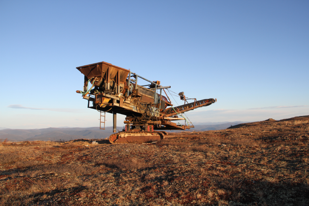
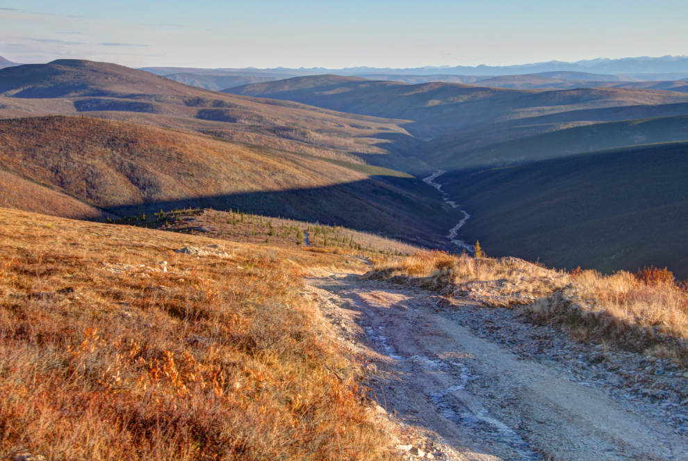
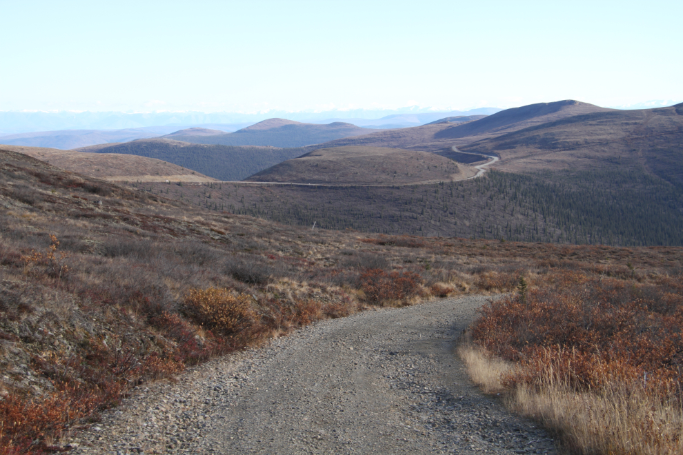
After checking out the gold machine thoroughly, I had to see more of that road. This country has an amazing network of old mining roads, wandering across the barren ridges and then dropping into valleys of gold.
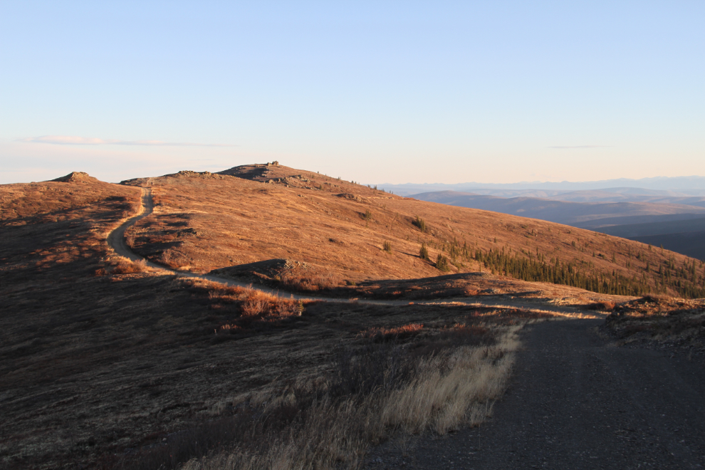
This is as far as I went on that road. That’s an all-day exploration ahead, and there are many more just like it.
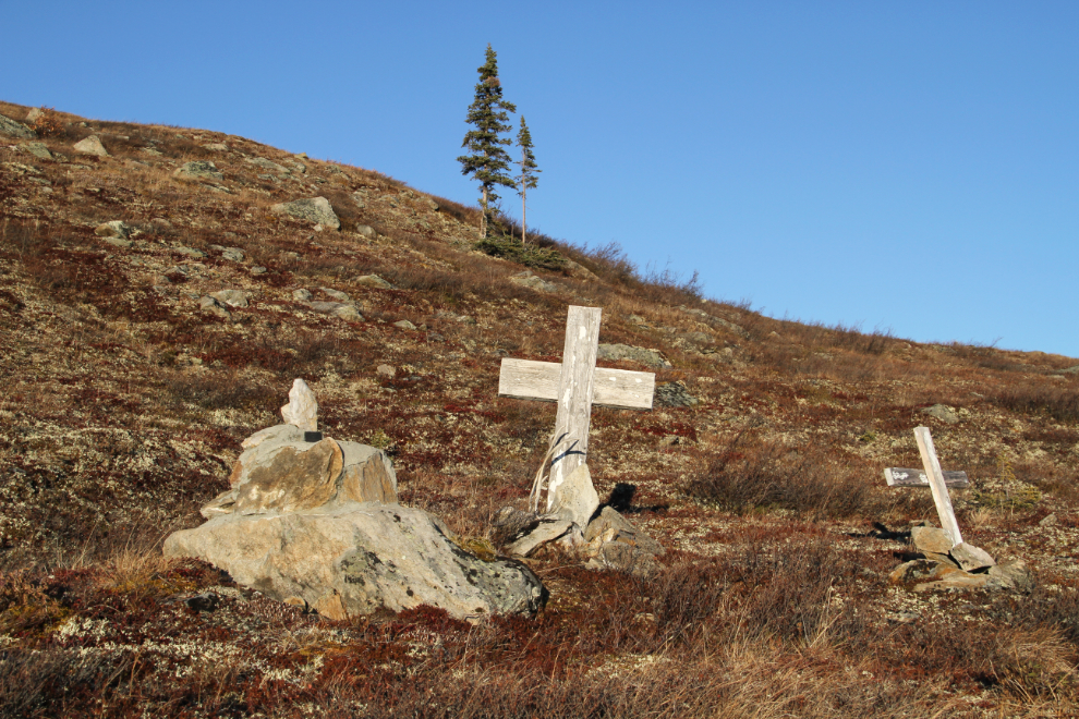
Climbing back up the road, I spotted what appeared to be 3 graves high on the slope above! A small brass plate on the one to the left says “‘Bill’ W.E. McMillan, 1923-1987”. A Google search has come up with no information about him. My guess at this point is that the valley below was his mining operation. Are the crosses beside him for his dogs?
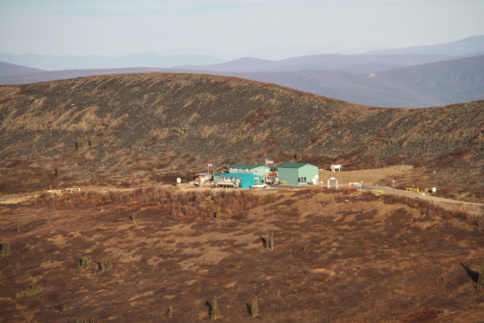
Looking down on the Canada/USA border posts below my camping spot.
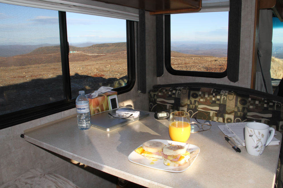
Time for brunch. “Garcon, a table with a view, please.” Yes, indeed 🙂
Back in 1999 while I was working on the move of the gold dredge that’s now a tourist operation in Skagway, I drove a very rough road up from the dredge site in the Sixtymile district, and ended up where my motorhome was now parked. I decided to have another look along that road before leaving.
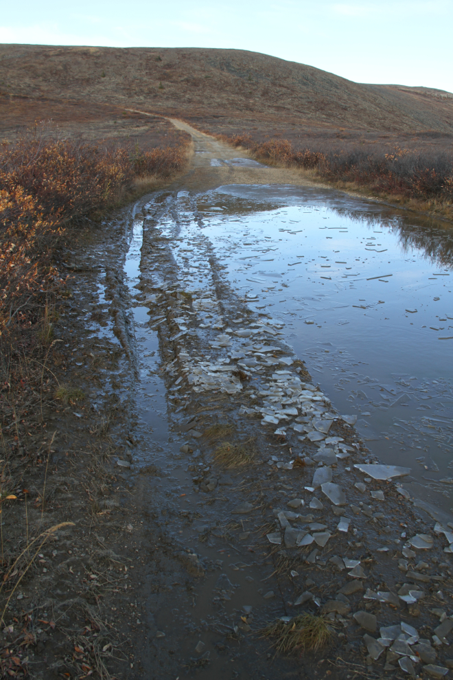
I didn’t get very far down the Sixtymile road. That puddle I’d come through had a bottom of mud that was far too deep to be playing with this late in the season. With my heart in my throat and the transer case in Low Lock, I pounded back through it, and went back to the motorhome.
Just after 12:30, I had the Tracker hooked up to the motorhome again, had packed everything up, and was headed down to Dawson City.
It was a spectacular day to be driving the Top of the World Highway. This was by far the latest I’d been on it.
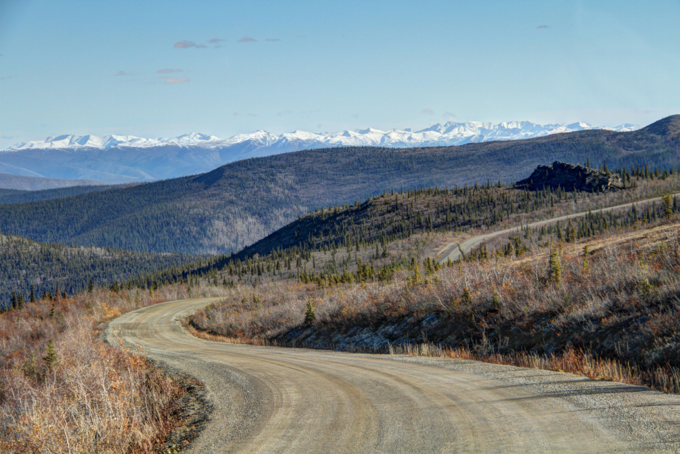
By the time I got near Dawson, the Tracker had an impressive load of gravel and mud thrown up from the thawing road by the RV.
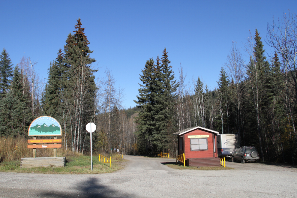
I wasn’t sure where I was going to overnight yet, but decided to drive through the Yukon River Campground, as it had been many years since I’d seen it except in the winter.
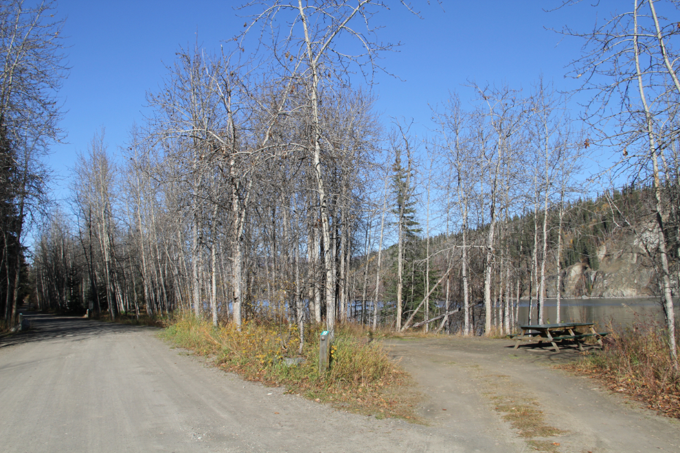
As soon as I saw this pull-through campsite right on the river, I knew that this was the perfect place to camp.
Back in Dawson City with lots more to see during the next 18 hours or so before starting for home!