Into the Rockies: Cochrane to Peyto Lake
Cathy and I both love the Rockies, and especially the Icefields Parkway and Jasper, so had been looking forward to getting back on this trip. On Day 38 of this journey – Tuesday, May 31st, we headed west, with no particular destination in mind other than somewhere up the Icefields Parkway. The extra day in Cochrane had eliminated our planned overnight at Lake Louise, so we’d just go up the Icefields Parkway until we felt like stopping.
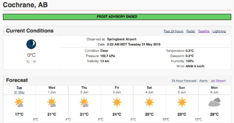
The temperature had dropped to freezing in Cochrane when I got up, but the weather forecast looked very good for our week in the Rockies.
We got off to a late start after a lengthy play in the leash-free dog park along the Bow River, some grocery and wine/liquor shopping, and then a big late-breakfast at Smitty’s, but at noon were on Highway 1a headed west.
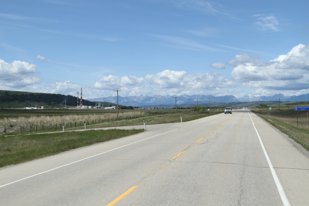
The intention was to stay off Highway 1 as much as possible, so when most of the traffic turned towards the freeway at Bella’s home town, Morley, we stayed on 1a and it got very quiet as it got more scenic.
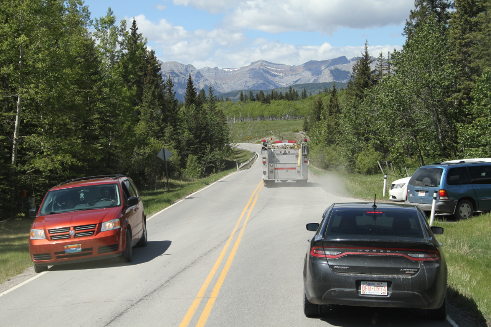
At the cemetery just west of Morley, a funeral blocked the highway for a few minutes, and in the middle of that, an ambulance and fire truck needed to get through.
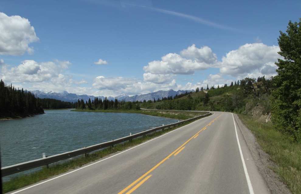
For a few miles, the freeway (Highway 1) is the only option, but at least the scenery is spectacular, even if it goes past too quickly. Traffic was surprisingly light, though.
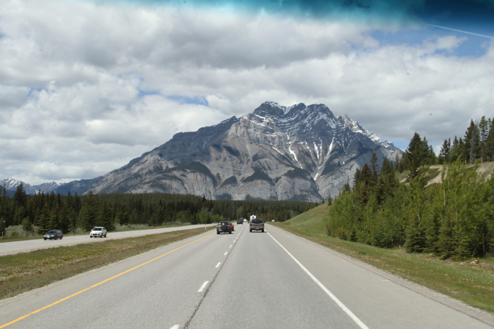
We took the first exit onto the Bow Valley Parkway, a narrow, winding road with plenty of pullouts to enjoy the scenery.
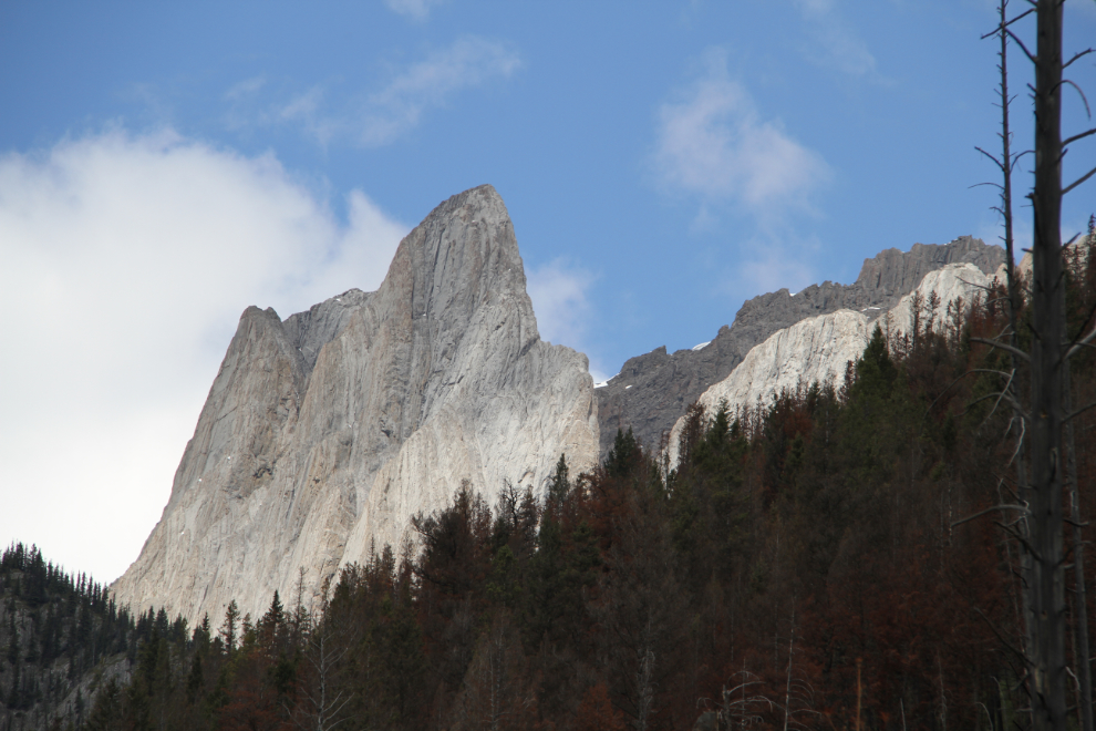
Some of the peaks along the Bow Valley Parkway are extremely impressive.
Just before 3:00 pm, after a short stop at Canmore for a load of fuel in the motorhome, we started north up the Icefields Parkway.
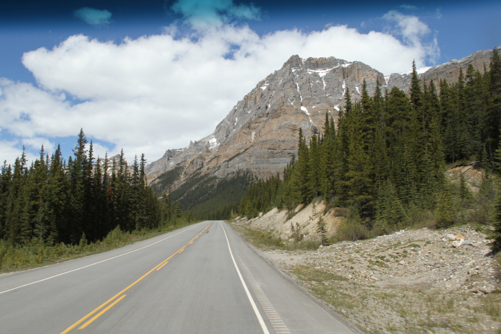
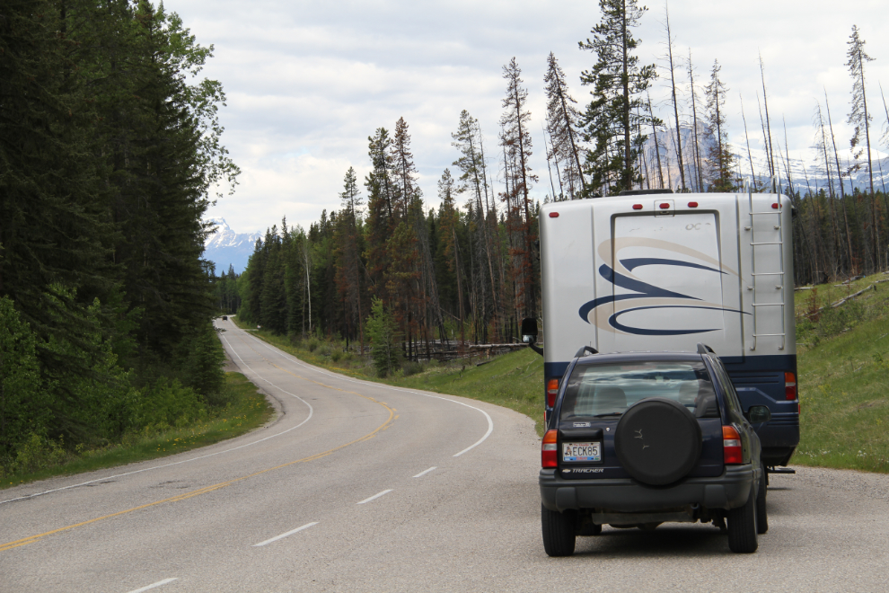
The shoulders on the Icefields Parkway are wide enough to pull a car over to take photos, but they’re not quite wide enough for the RV and there are relatively few pullouts for a route like this, so it was handy having Cathy to shoot on request 🙂
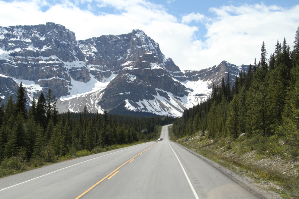
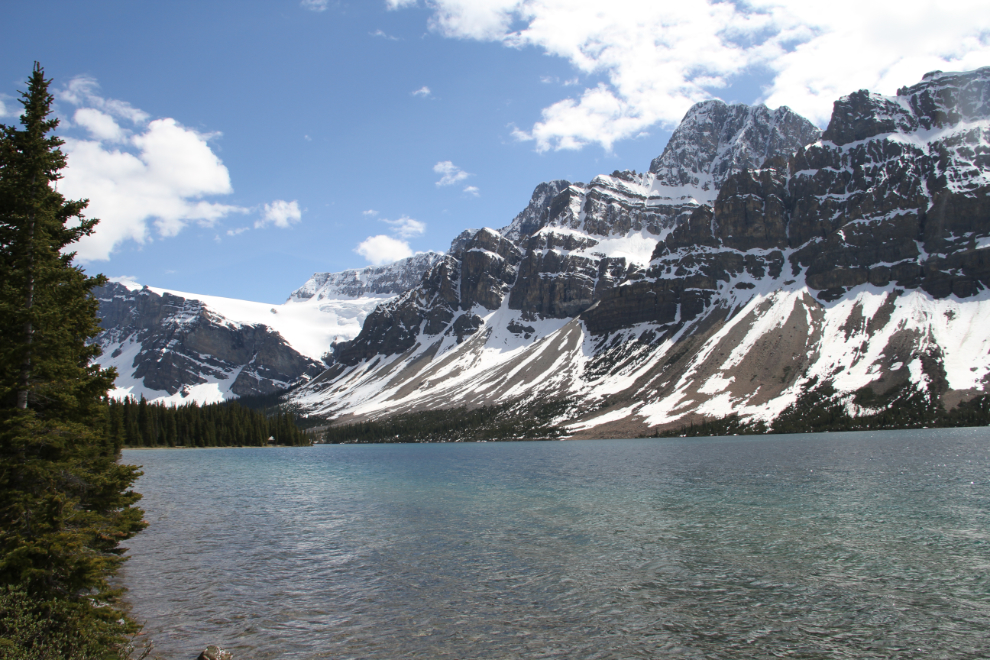
Bow Lake is one of my favourite spots along the Parkway, and I suggested it as our overnight location, but Cathy wanted to continue on a few miles to Peyto Lake.
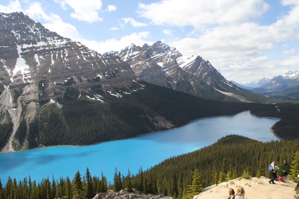
The last time I hiked up to Peyto Lake it was still frozen. This was much better! The blue is so vivid that it’s quite shocking when you first see it. I’ve always pronounced it “Pay-tow” but I sign there says that it was named after a guy whose name was pronounced “Pee-tow”. Note that the far end of the lake is shaped like a wolf’s head.
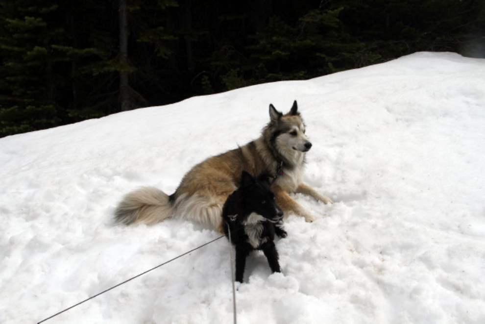
The viewpoint was fairly crowded, so we took Bella and Tucker for a walk on a higher trail where we only saw a few people, and one family was only on it because they were lost. We were soon up into snow, which the kids thought was just fine, but deep snow blocked one side trail I wanted to check out.
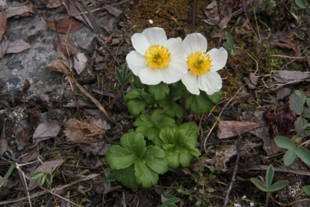
Between the patches of snow, the first flowers, of a half-dozen species, were blooming.
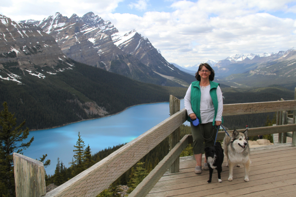
We went back to the main viewpoint 40 minutes after our first look, and it was much quieter, allowing for a portrait of Cathy with the kids.
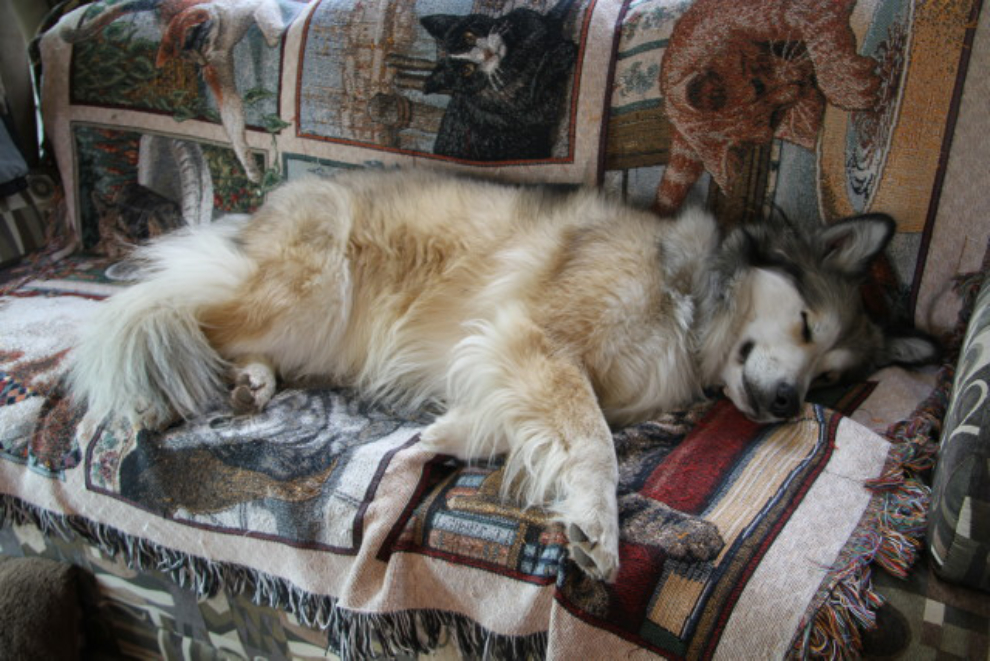
The parking lot at Peyto Lake isn’t very RV friendly, as there’s only one small level spot (and it was occupied by a truck-and-camper who looked like he wouldn’t be leaving), so at about 5:30 we went back to Bow Lake, where Bella crashed right after a short post-dinner walk.
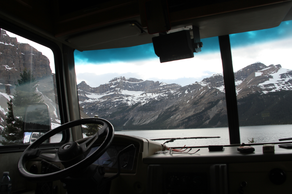
The view out the RV windows at Bow Lake is much better than at Peyto Lake.
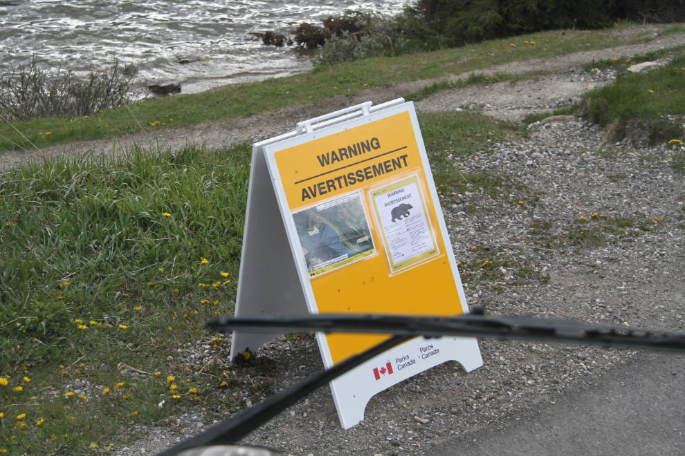
I parked in front on a warning sign about a bear who’s cruising this area – who knows, we might even get to see a grizzly during our stay.
Did we ever see a grizzly! A few of the nearly 200 photos I shot of her over the next 12 hours will be in the next post 🙂
