Hiking Williscroft Canyon, Kluane National Park
My one hike of the Discovery Day long weekend was a short one on Sunday morning, 2½ hours up spectacular Williscroft Canyon and back. Williscroft Creek flows into Kluane Lake just below Km 1657.8 of the Alaska Highway, where it flows through a culvert.
I had posted on a Facebook hiking group I belong to that I was going to be at the trailhead at 10:00. Even though nobody had responded, I was. You can drive a few hundred meters up from the Alaska Highway, passing a gravel pit along the way.
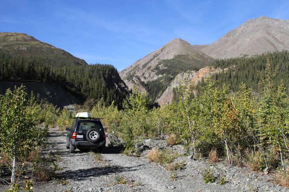
Although you can drive another few hundred meters, the parking is much better where I stopped alongside the berm built to contain the creek at its lower levels. I read at YukonHiking.ca that hikers “should expect to be crossing the creek multiple times.” Not knowing exactly what that meant, I left Bella and Tucker with Cathy at the Congdon Creek Campground.
I left the car at 10:10 The hike begins along the berm. All of the creeks along Kluane Lake have been directed this way – some for several kilometers, right back to the canyons they flow out of.
I was surprised to see a section of the Haines-Fairbanks Pipeline still in place – I thought it had all been removed. This pipeline was a Cold War era project operated by the U.S. Army from 1955 to 1973. The 8-inch diameter pipeline transported fuel from a deep-water port at Haines to Fort Greely, Eielson Air Force Base, and Ladd Air Force Base.
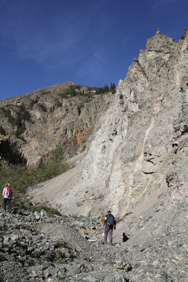
At 10:20, I began to enter the canyon. I had passed a couple wallking along the highway with their dog. When I saw that they were following me up the creek, I stopped to talk to them, and was very pleased to find that it was 2 friends from Whitehorse who had seen my note on the hiking group. They were camping at the Cottonwood RV Park and Campground on the lake immediately north of Williscroft Creek.
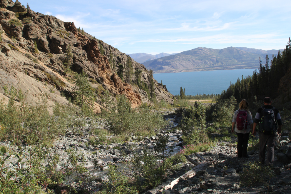
The water level was very low so creek crossings were easy. While Kevin and Rebelanne were wearing boots and had to find rocks to get across on, I could just walk through 🙂
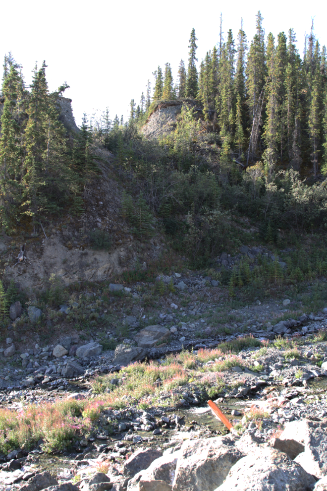
Looking back at Kluane Lake at 10:35.

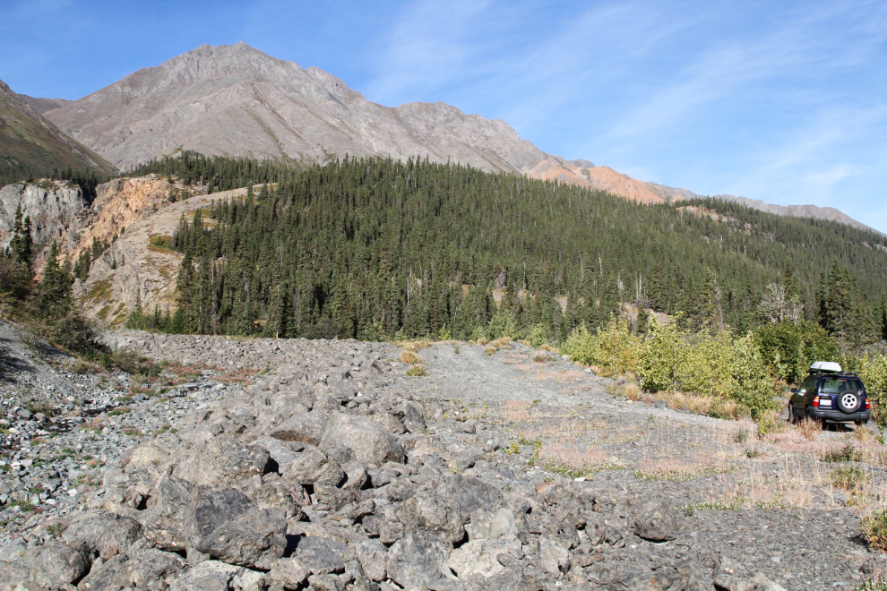
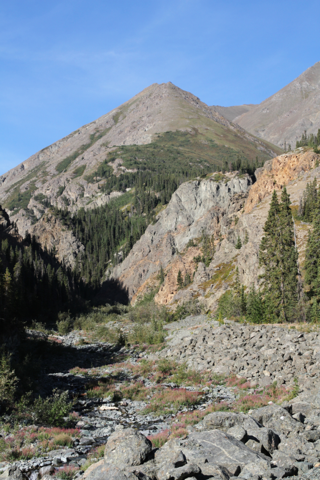
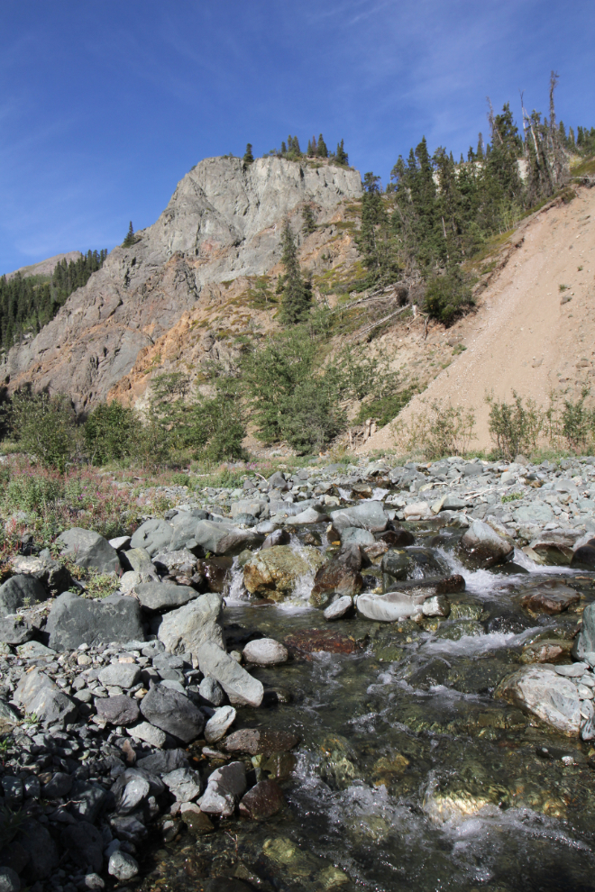
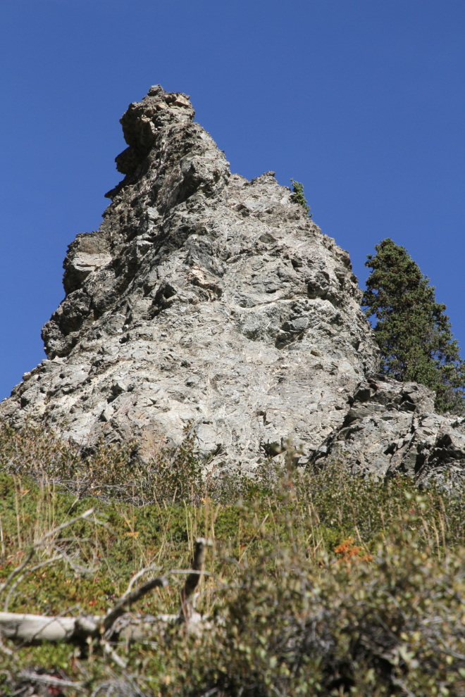
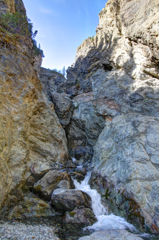
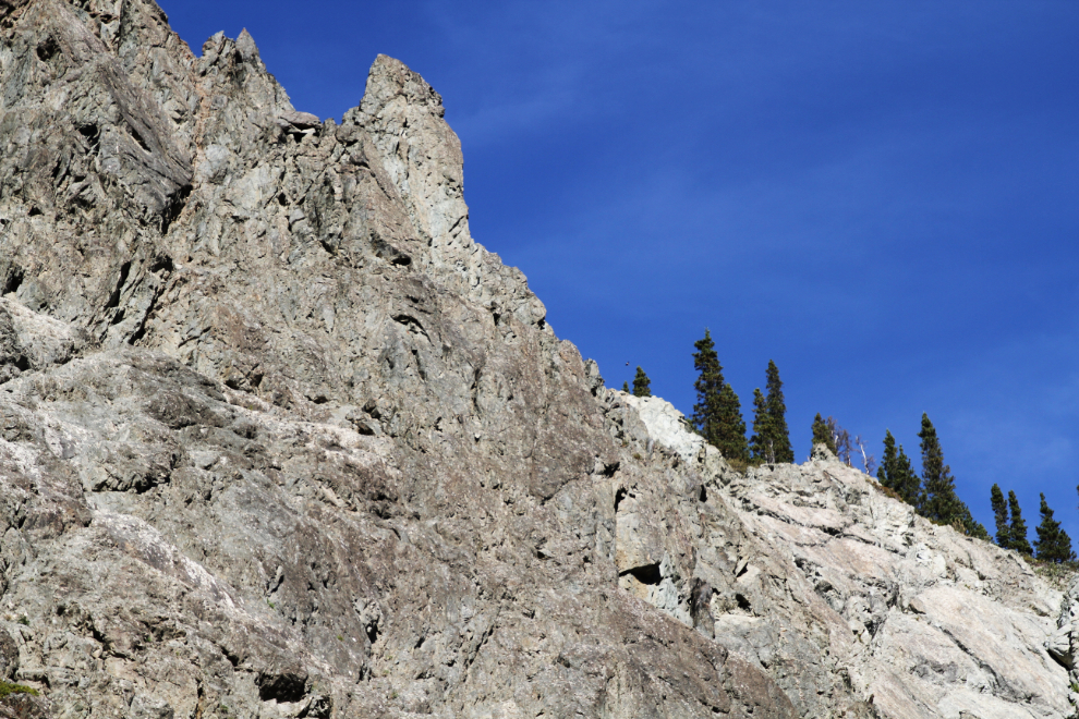
I was very impressed by the canyon, with towering, complex walls and some great colours in the rocks, from oranges to greens.
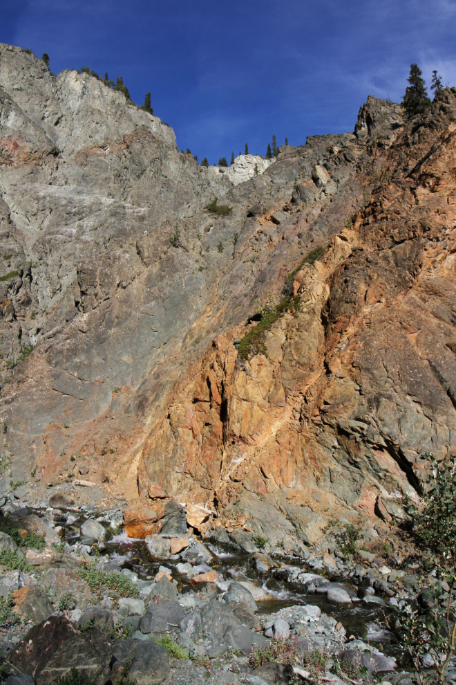
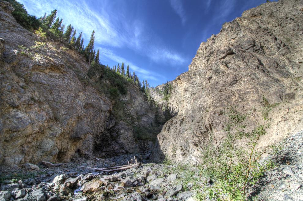
By 10:40 we were into very deep shadows and I shot many of the photos from there on as HDRIs to bring out the details in both the lighted and shadowed areas.
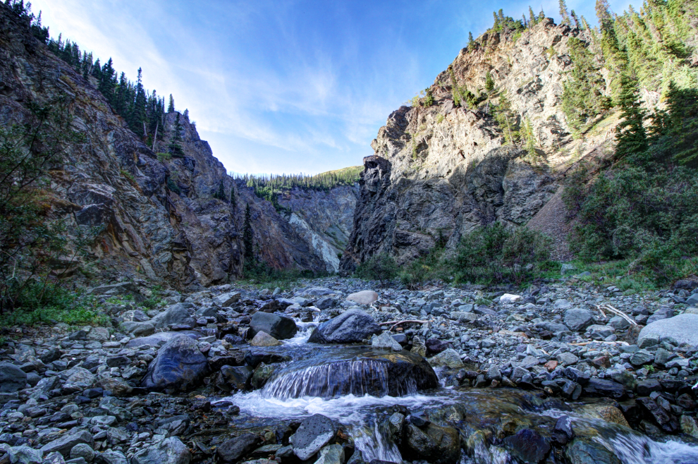
I had also switched to my 10-18mm lens upon entering the canyon – my standard 24-105mm lens wasn’t nearly wide enough to capture it all. The next photo was shot at 10mm.
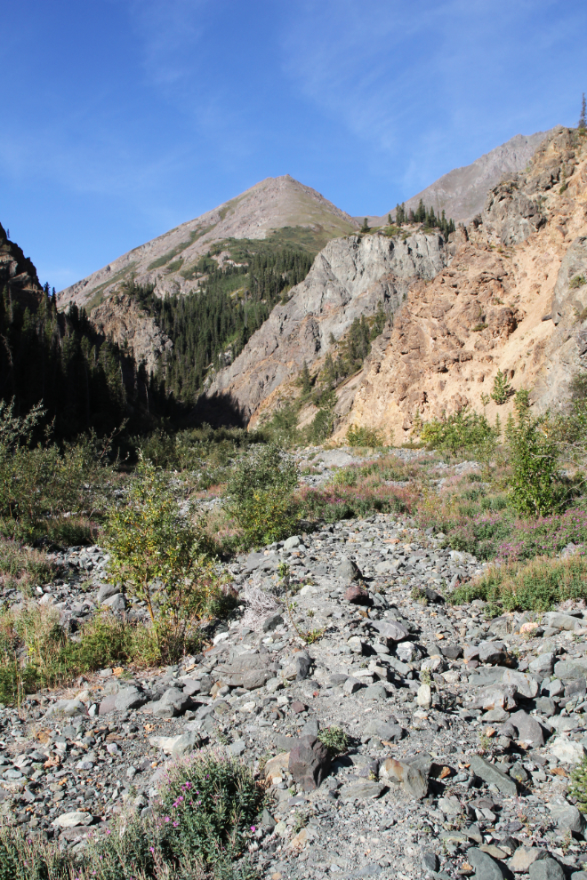
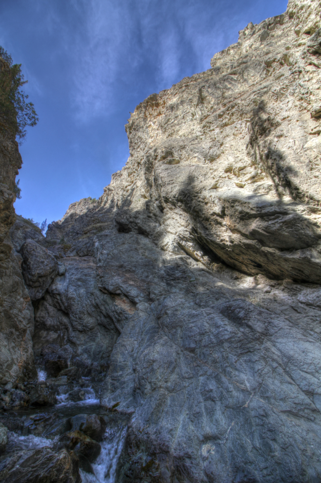
The further up the canyon you go, the more impressive it is.
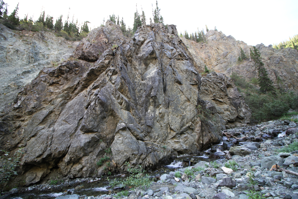
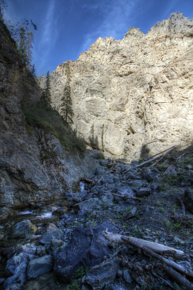
I’d like to see Williscroft Canyon at a much higher water level in the spring. It must be even more spectacular, especially at spots like this where the creek runs right against a cliff.
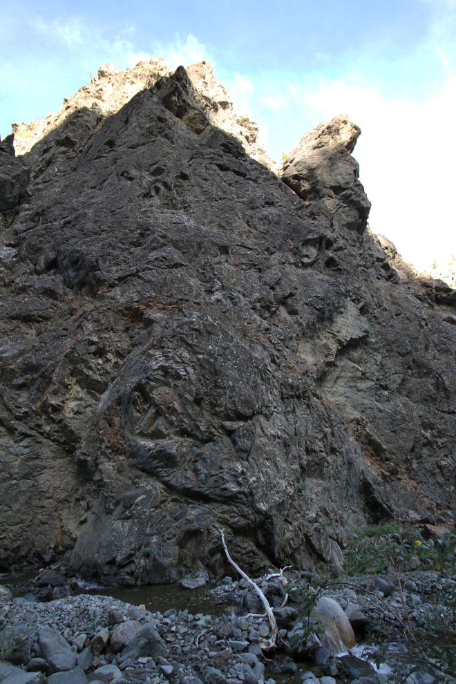
Although this looks like a hoodoo – an erosion pillar – I don’t think it is technically, because it appears to be solid rock rather than gravel and rocks.
At this point in the heart of Williscroft Canyon, we were 45 minutes from my car.
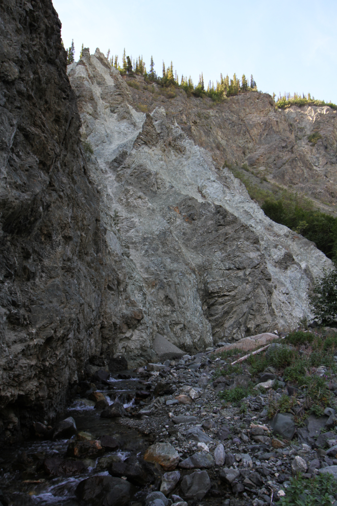
Nearing the end of the hikeable part of the canyon, the creek gets steeper and the rocks a bit more challenging to navigate.
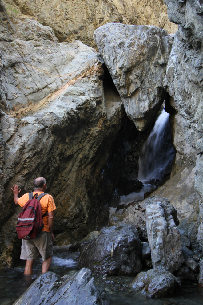
The end of the hike, exactly an hour from the car. Here, a boulder is jammed in a very narrow section of the canyon. You could easily get under it, but a small waterfall immediately behind may block further access anyway.
With canyoneering gear – especially a wetsuit – continuing further might be quite an adventure 🙂
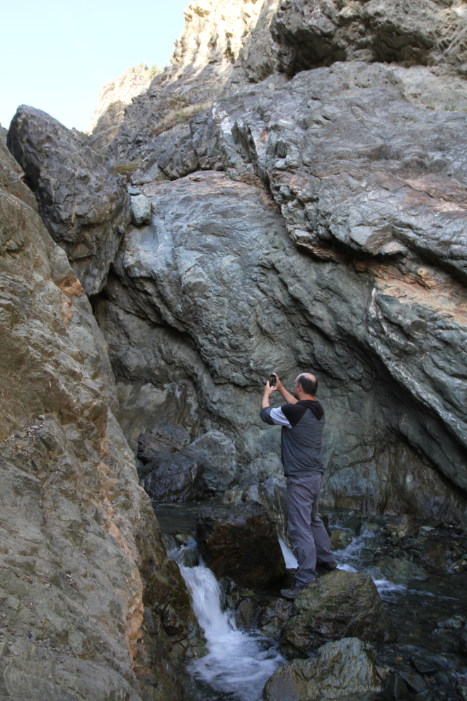
When I saw Kevin shooting a video, I was reminded that waterfalls are best recorded on videos.
It’s a very powerful location.
I started to leave 3 or 4 times, then was drawn back to the boulder. Kevin seemed to be having the same problem leaving.
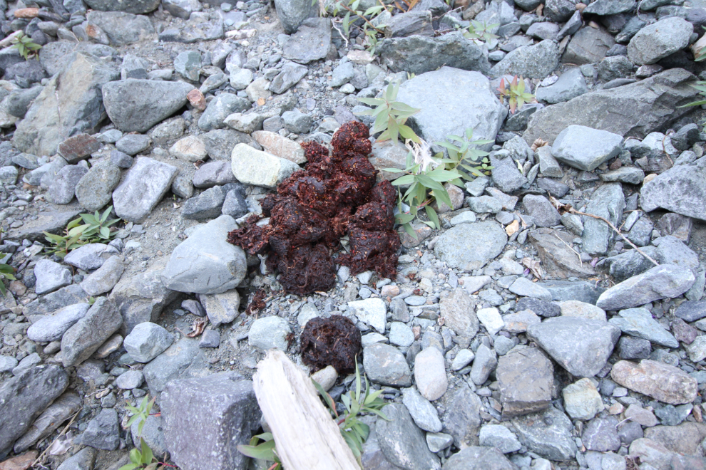
Just before 11:30, we did start hiking out. We soon ran into some fairly fresh grizzly scat – perhaps from the previous day. The apparently large bear seems to have been having a good feast of raspberries.
There may be a good walk along the top of the canyon as well – a faint trail leads off that way from near the start of the canyon. It could be just a game trail, though.
Almost back at the bottom of the canyon, right at noon.
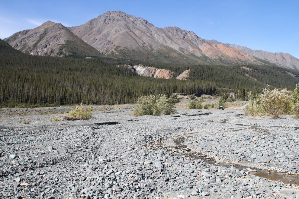
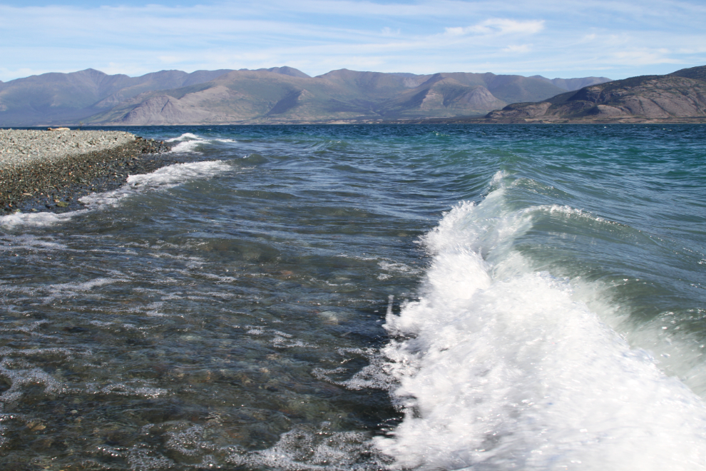
While my friends walked back to Cottonwood, I followed Williscroft Creek down to the lake in the Tracker and on foot. The next photo looks back up the creek to the Alaska Highway and the canyon.
I had brought my kayak with me, but a strong wind blew all weekend so it never got taken off the Tracker.
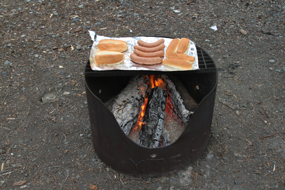
Back at Congdon Creek Campground, our relaxing weekend continued. Dinner that night was simple – Whitehorse-made bison smokies cooked over the campfire.
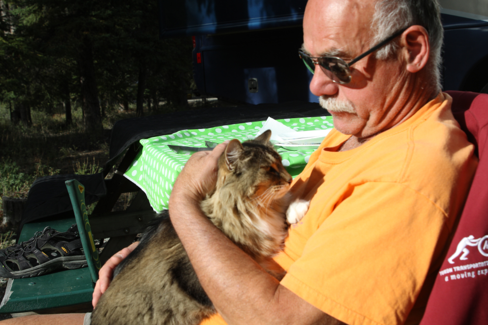
Although Tucker normally gets the prized position on my laptop in front of a campfire, it was Molly’s turn that evening. She thinks that the RV/camping life is about the best life a cat could have. What a love she is.
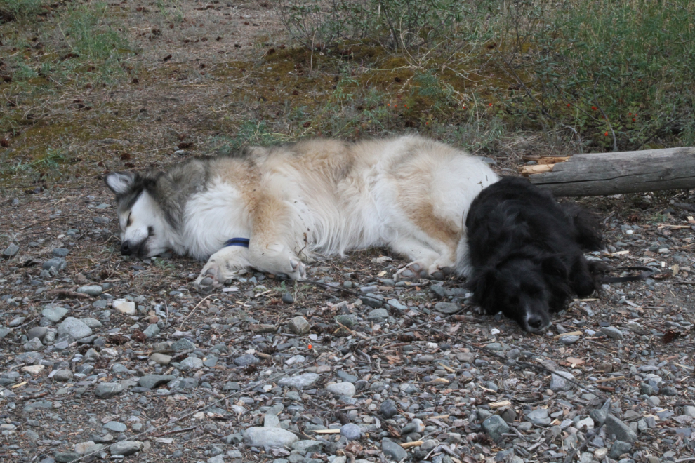
Tucker was happy to cuddle up with his big sister at the edge of the campsite.
On Monday, the weather went sour despite a good forecast. I had planned on staying for another few days to do some more hiking either in Kluane or at the Haines Summit, but I led Cathy home instead, with a stop in Haines Junction for dinner.
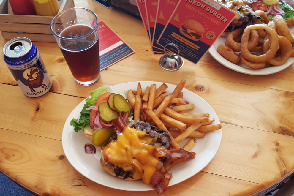
The Mile 1016 Pub turned out to be a particularly good stop. Not only was their Damn Good Burger aptly named, we met my long-time friend Ollie Worth, legendary owner of the Burwash Landing Lodge, as we were leaving, and had a great chat. That really finished off my weekend in a fine way 🙂