Hiking to The Three Guardsmen Cirque, Haines Highway
The third of my hikes in the Haines Summit area last week was up an old mining road to a glacial cirque directly south of Three Guardsmen Mountain, on Saturday (October 1st).
The day started out poorly, with a mechanical problem. One of my levellers on the motorhome wouldn’t retract. None of the over-rides worked either, so I finally crawled under the rig and removed it.
Even with the leveller problem, I still made it down to the pullout at Historic Mile 48, where a buddy from Haines was going to meet me at 10:00. It’s a great place to wait.
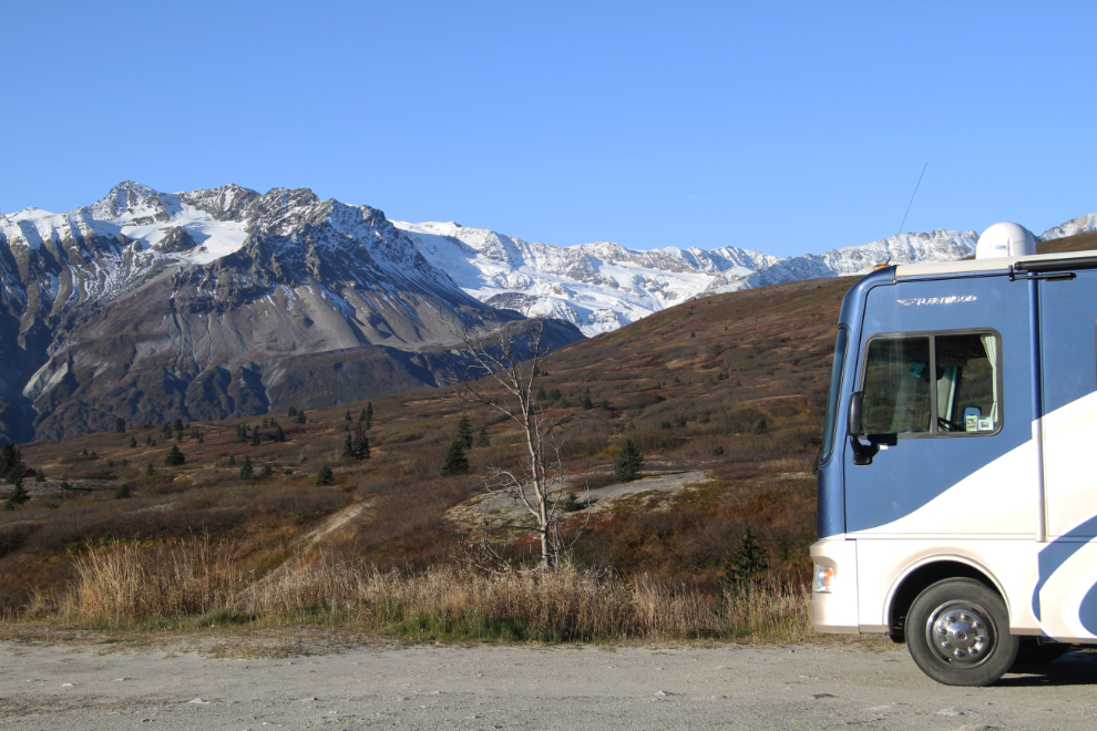
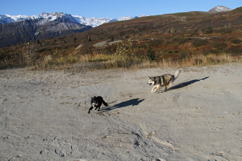
The pullout is also a great place to play with Bella and Tucker. Sometimes they played ball with me, sometimes it was Tucker’s “catch me” game – which Bella no longer has any hope of winning. He’s very fast, and very agile.
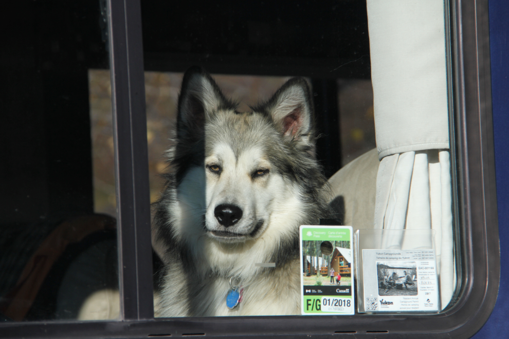
When I put the kids inside and walked away to take a few photos before giving up on my buddy and leaving at 11:00, Bella took her usual position in the driver’s seat 🙂
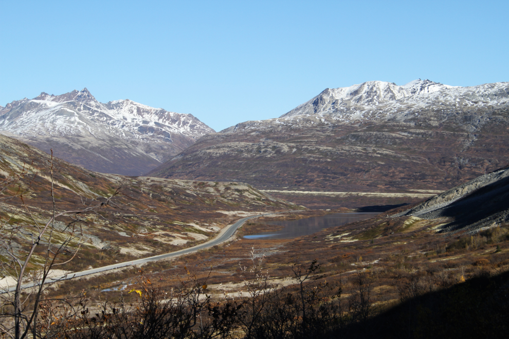
I drove north and parked on the very wide shoulder on the west side of the highway (yes, the wrong side to park on, but the only side with a shoulder) just south of Three Guardsmen Lake. The elevation here, at about Km 91 of the Haines Highway, is 955 meters (3,133 feet). The few trail reports all talk about going through a marshy area to reach the trail, but as I had expected to, I quickly found a “stepping-stone” crossing of the little creek that drains the lake, right at 11:30.

For trail details, I’ve posted the applicable section of topo map 114 P/9 (from aerial photos taken in 1979, 1980).
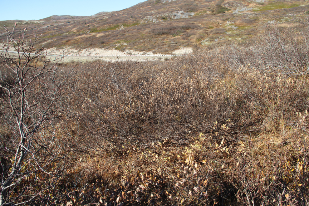
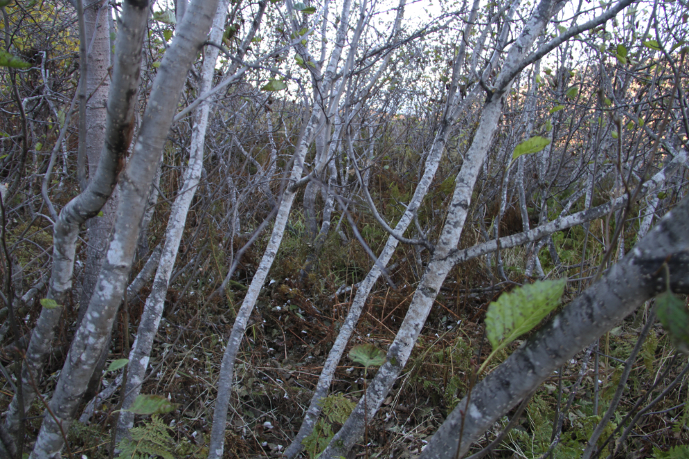
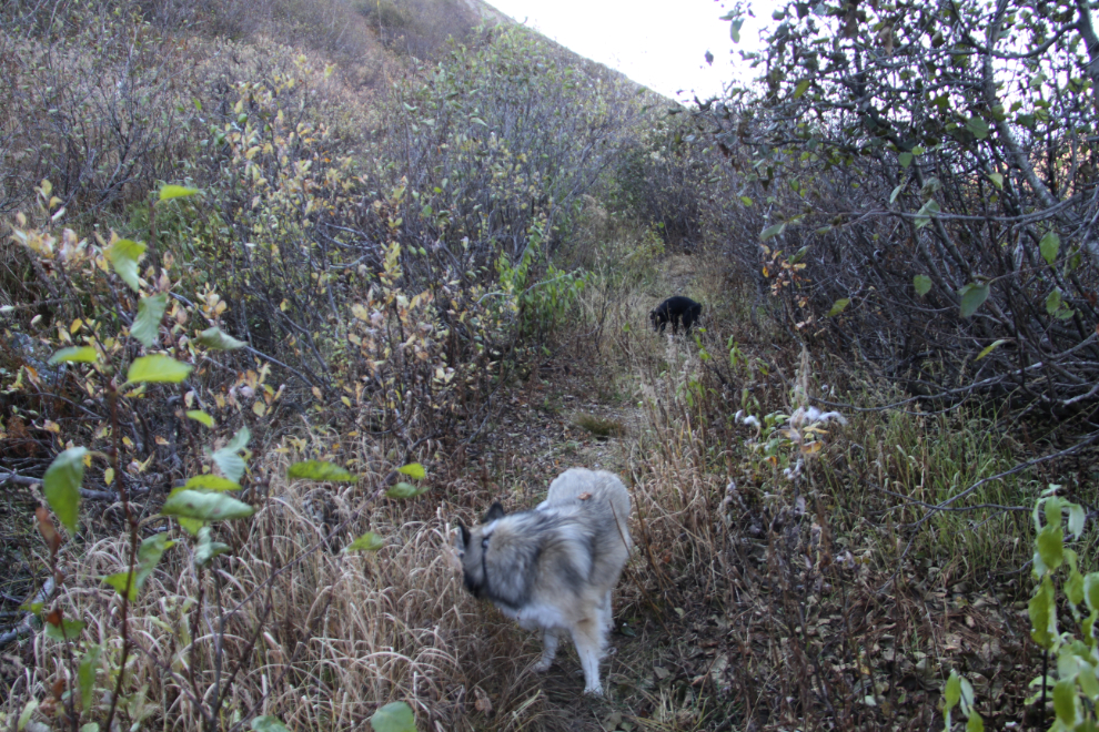
The place where the old mining road started wasn’t obvious for the first few hundred meters/yards, so I headed for a spot somewhere in the middle of where I expected that it would be, but couldn’t see. The brush between me and that spot, though, was pretty thick. The dogs probably had an even worse time getting through it than I did.
At 11:45, the going was still ugly but I felt that we were close to the road/trail.
11:47 – success! The trail had actually been cleared. I found when I got home that a prospecting party led by Gerry Diakow had done this work in 2011 so they could get a 6-wheel Polaris ATV up to the cirque.
We soon were out of the thick brush and had wonderful views. This was the view to the north, over Three Guardsmen Lake, at 11:54.
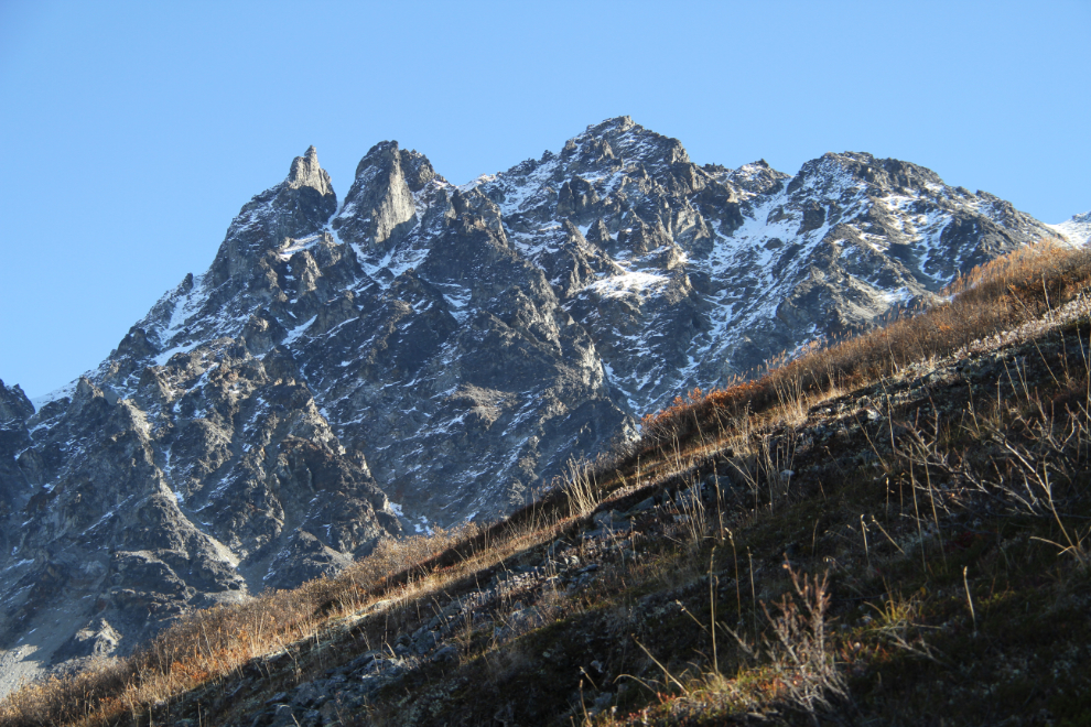
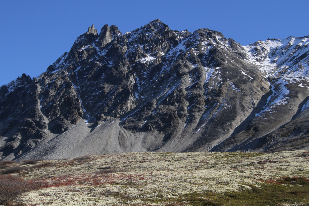
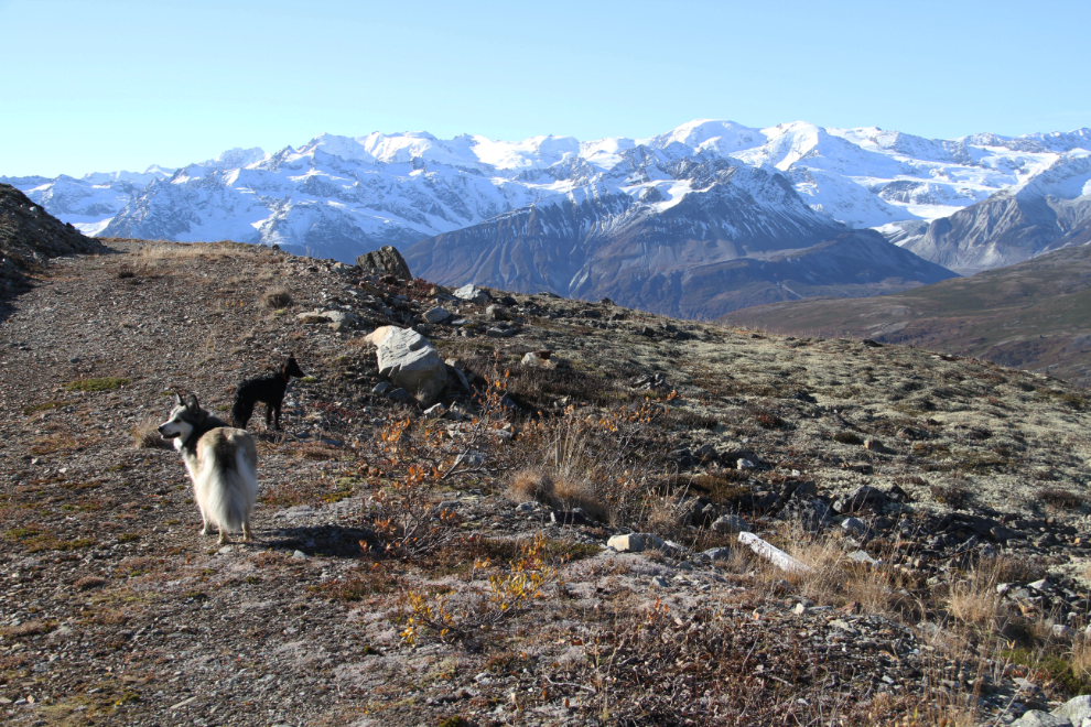
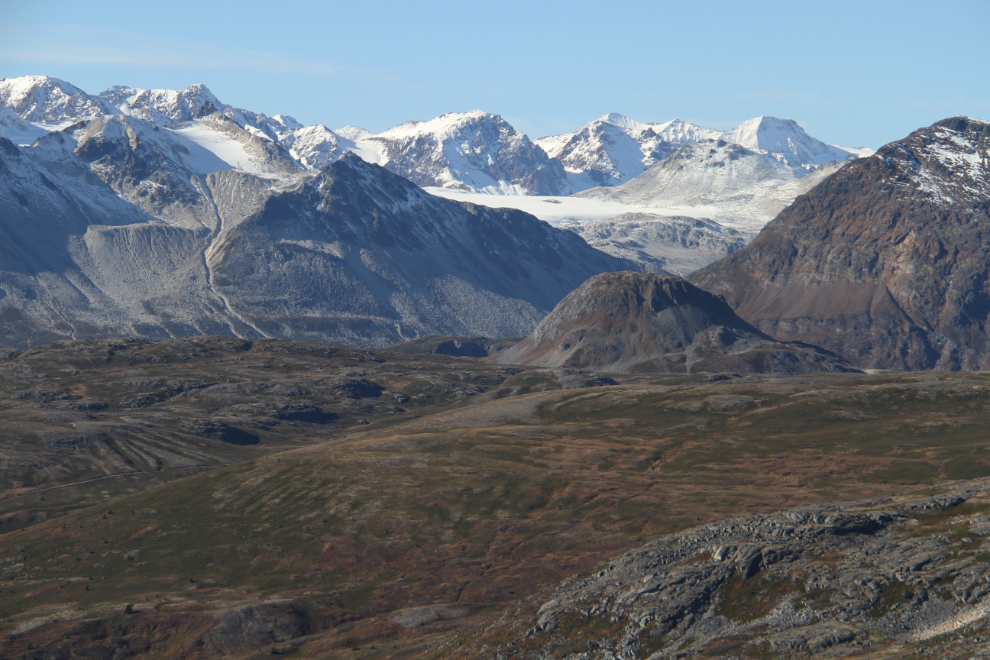
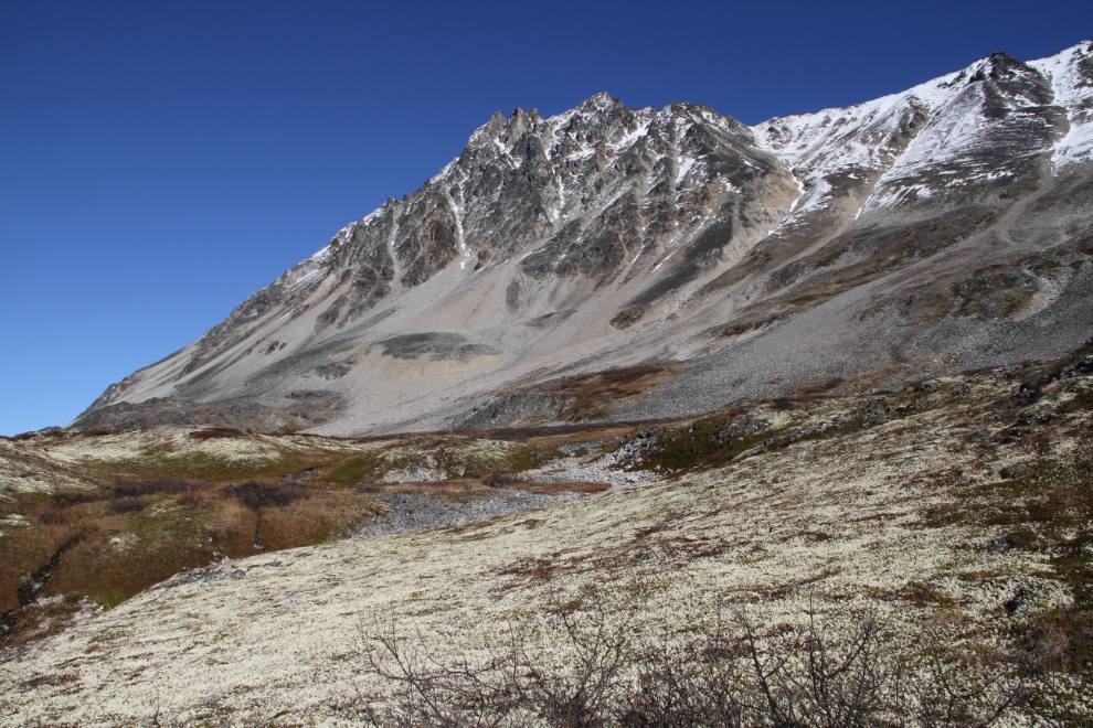
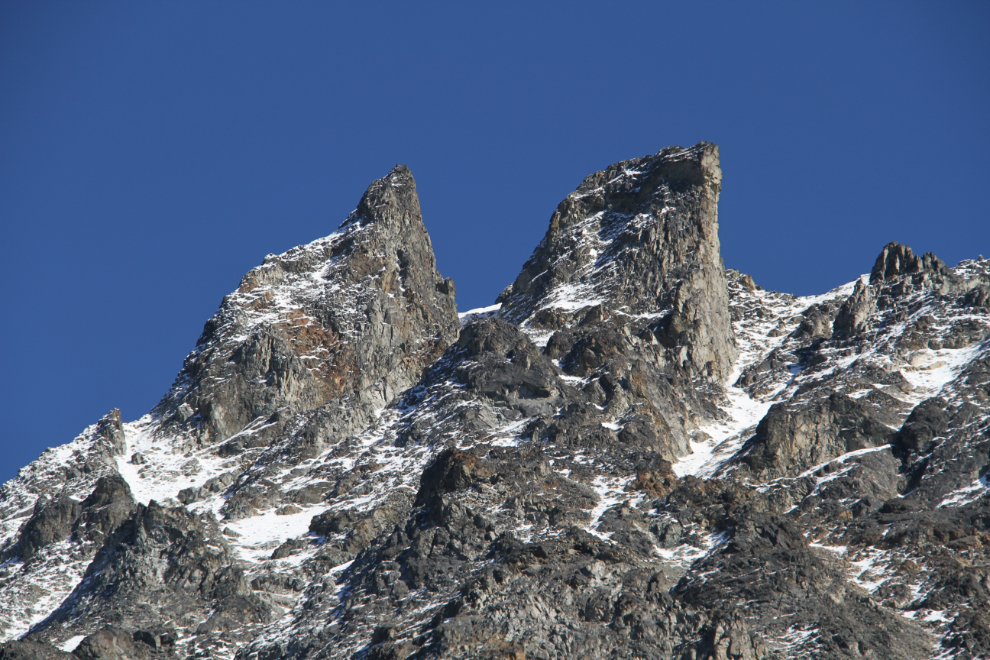
11:56 – The Three Guardsmen is an impressive pile of rock! The highest of the 3 peaks, Glave Peak, is 1,928 meters (6,325 feet) high.
Looking southwest at 11:57, with the Haines Highway below.

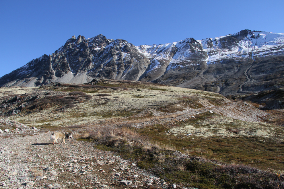
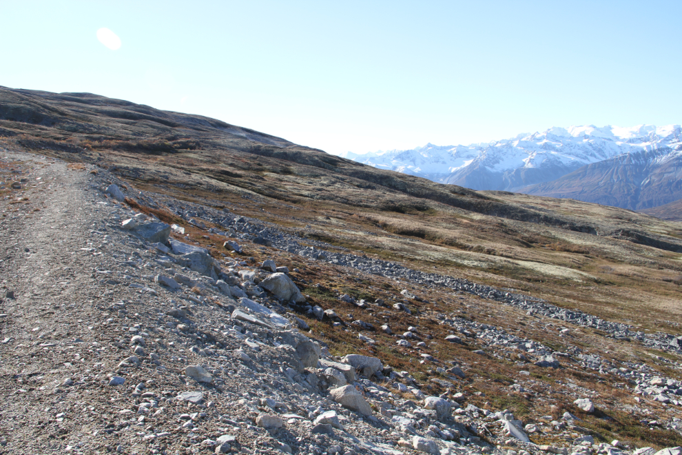
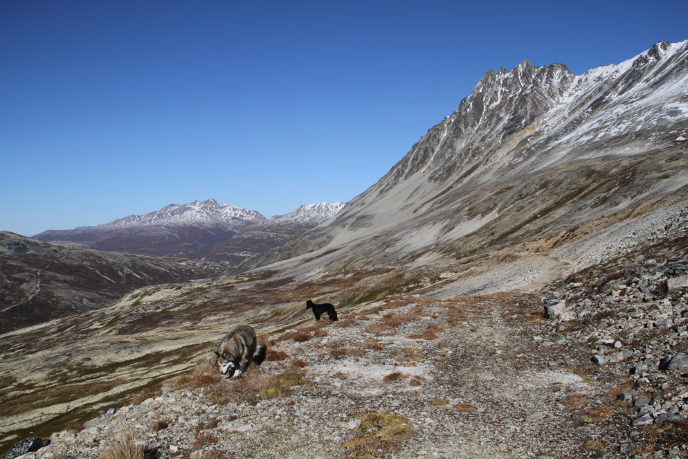
12:03 – the variety along the trail is wonderful, with spectacular views, and the slopes on both sides often carpeted with heather, lichens, and several varieties of berries.
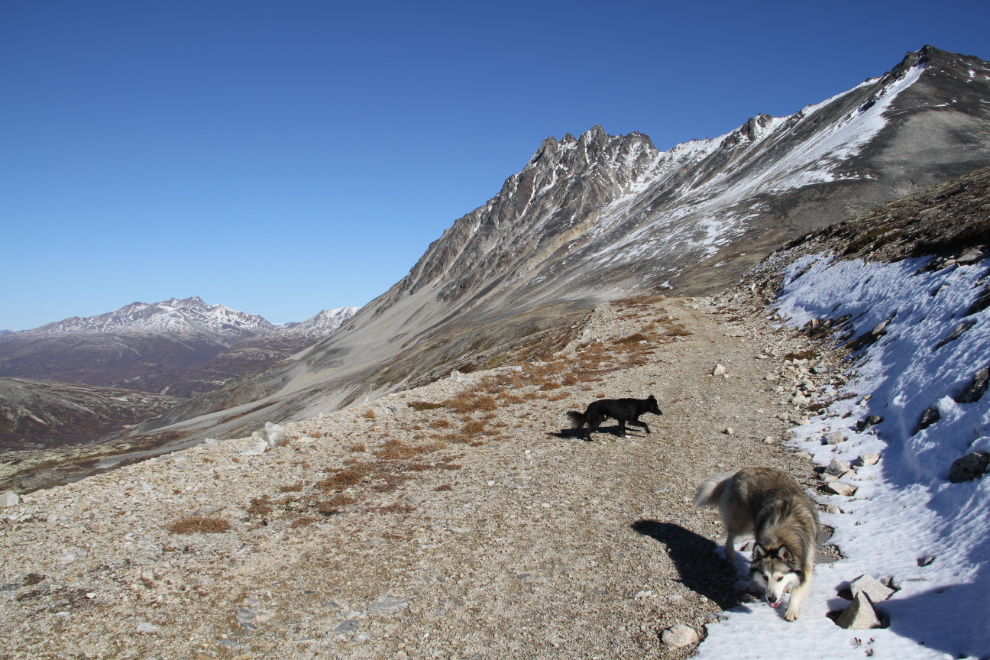
Up, up we go! At 12:10, we were at 1,081 meters (3,547 feet). What a perfect day! There was a slight breeze, but I was soon down to my t-shirt.
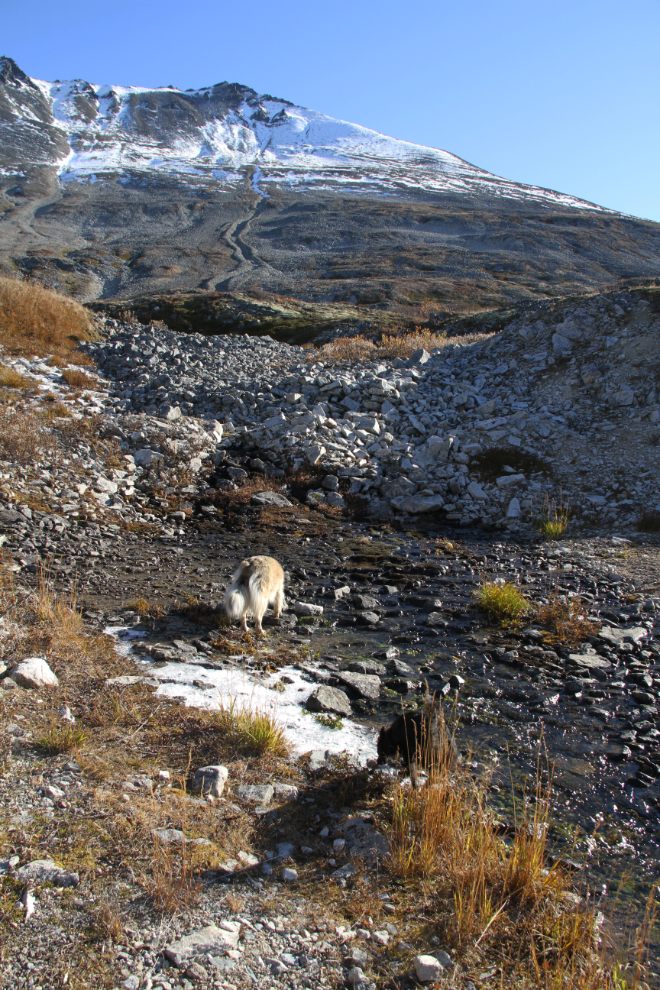
The kids got a good drink at 12:16. I carry enough water for all of us, though I expected that this trail would have some water along it.
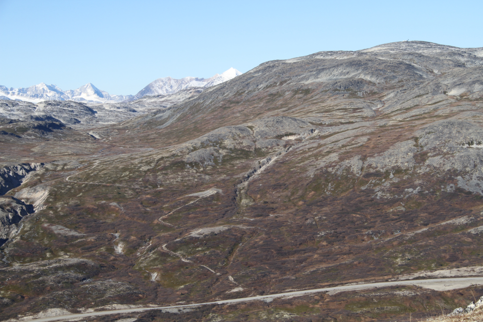
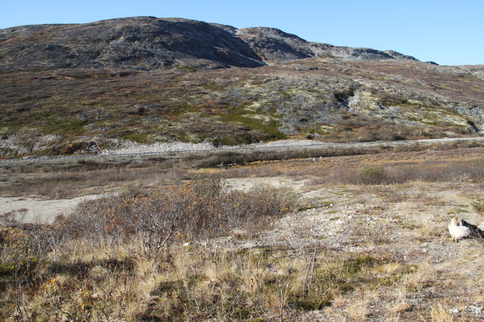
Some large level areas like this one that we reached at 12:20 aren’t visible from the highway.
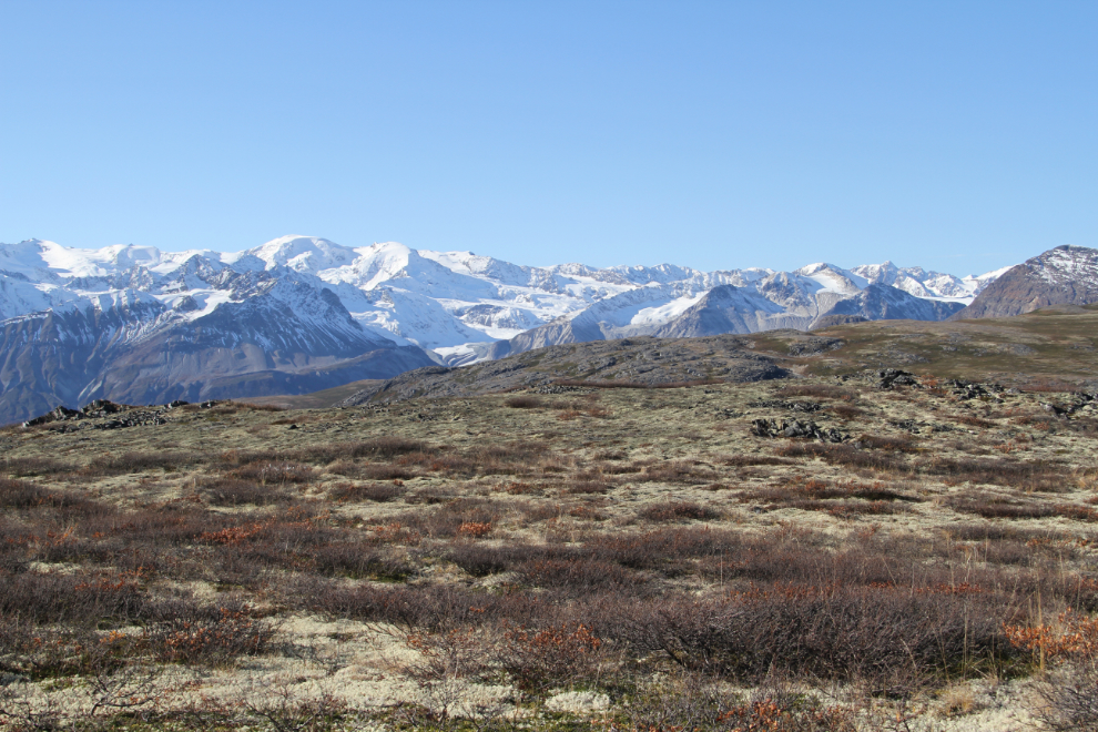
Across the valley at 12:32, a good view of the ridge that we hiked on Thursday – the one that I’m calling Tina Creek Ridge. Tina Creek flows down the canyon on the right.

The view to the south at 1,200 meters elevation (3,937 feet), at 12:38.
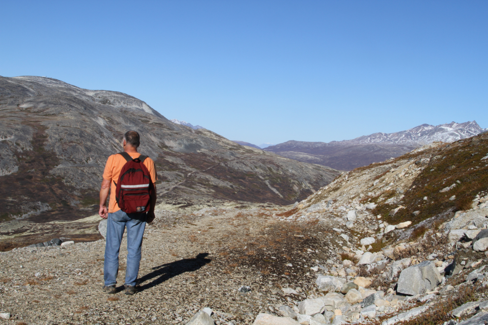
My only selfie of the hike, at 12:42 🙂
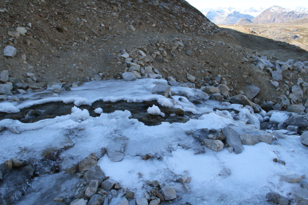
At 12:47, we reached a creek that took some care to get across!
12:51 – the views just kept getting more and more spectacular.
To the right of centre in the next photo is Copper Butte, an old mining area that is on the “must-hike” list for next year. I think I’m going to be spending a lot of time along the Haines Road now that I’ve had a good look at it.
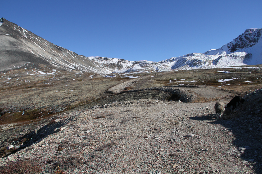
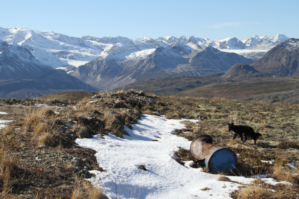
At 1:15, we reached some snow remaining from a little storm week or so ago.
The road ahead at 1,300 meters elevation (4,265 feet), at 1:17.
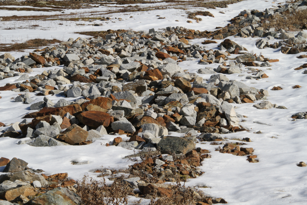
This is where we topped out at 1:37, among extensive mining exploration activity in the glacial cirque, at 1,387 meters elevation (4,551 feet). That’s 432 meters (1,418 feet) above the spot where I parked the RV – with lots of photo-stops, it took us 2 hours and 7 minutes to reach this point.
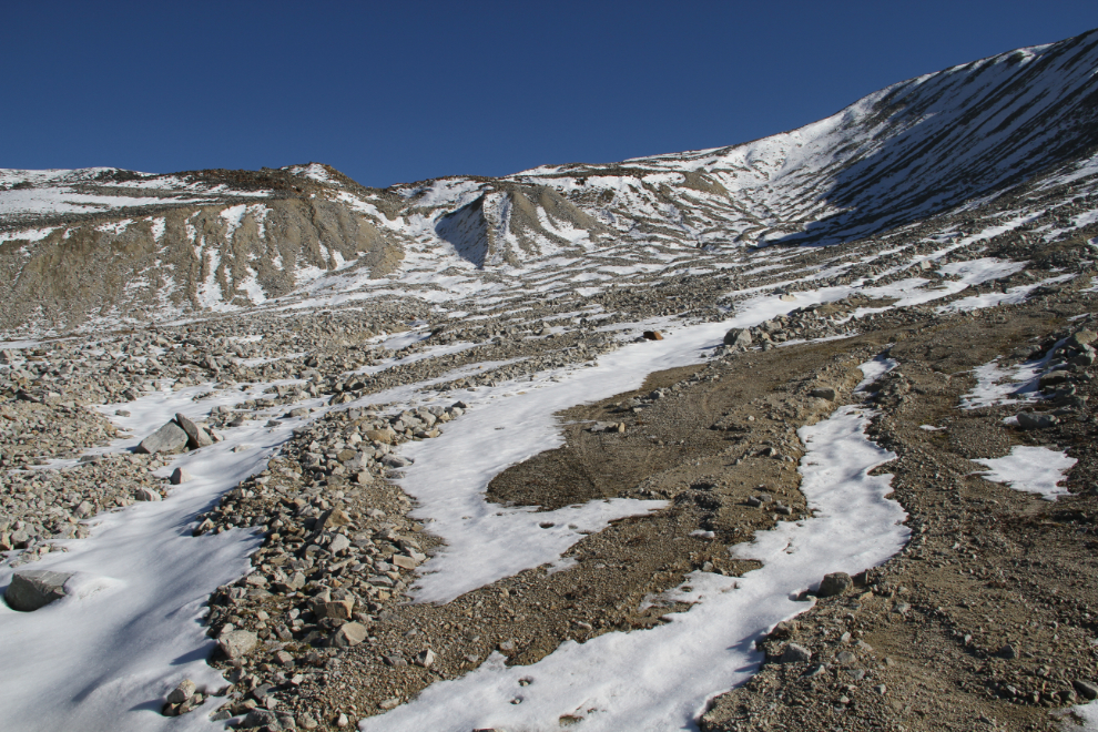
Rock from at least one of the contact zones that has been investigated was obvious. Copper was the initial draw here, but the latest (2011) exploration found copper, silver, gold, zinc, and bismuth, and well as small amounts of several other minerals. In 2011, S.G. Diakow called this the “Cold” mineral claim.
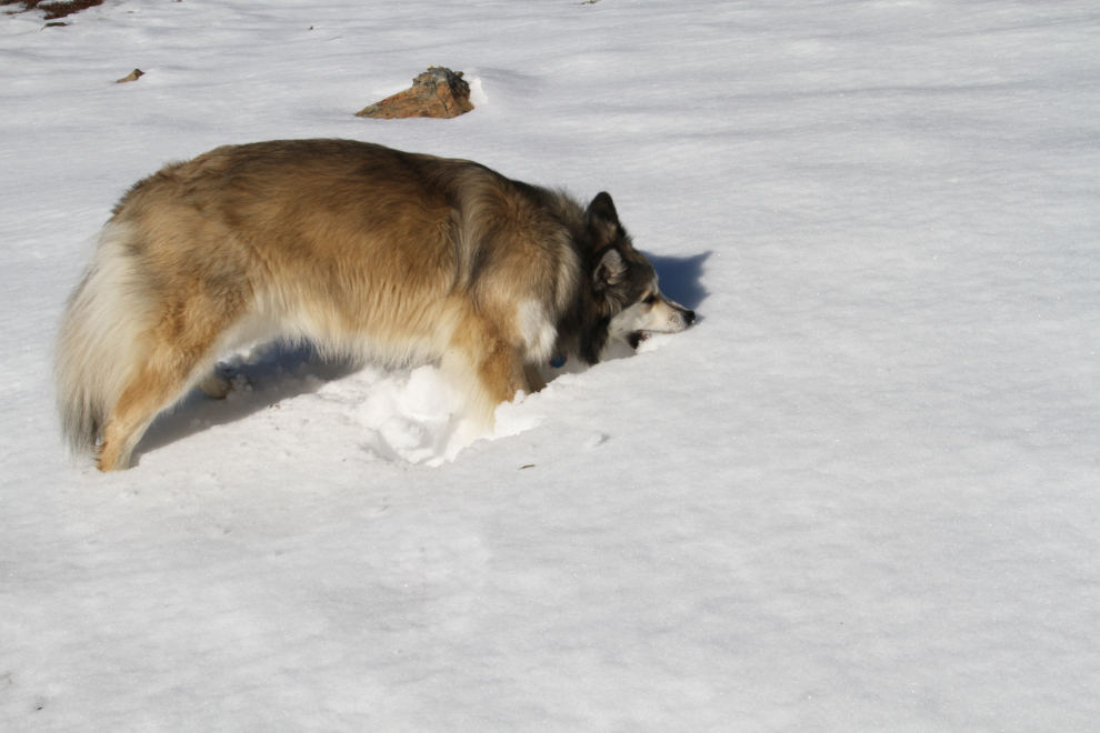
I think that Bella is looking forward to having her own deep snow at home 🙂
There were roads going much further into the cirque but because of the snow we didn’t go further. I thought about going down the creek that had presented a bit of a problem crossing because of the ice, but decided that the rocks would be too tough on the kids’ feet. At 1:48, we were heading down on a nice soft lichen-covered ridge.
At 1:53, we came to an old mining camp, protected from the wind by a berm about 10 feet high.

Among the mining camp ruins were a couple of bed frames, a few drill-core boxes, and lots of lumber from various buildings, tables and such.
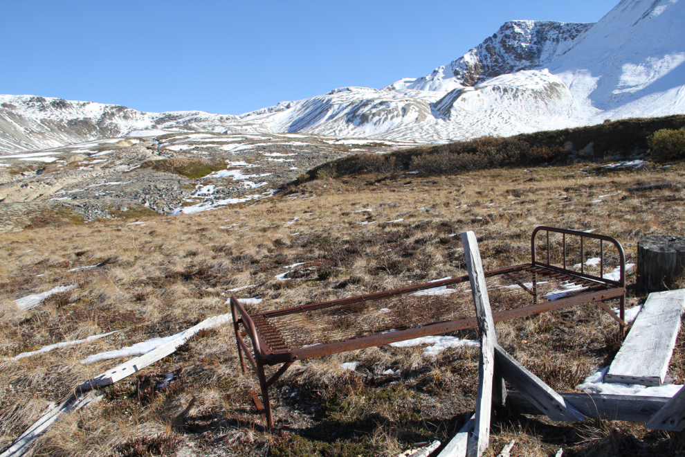
I very much support responsible mining, but this sort of thing really pisses me off. It’s simply lazy and disrespectful. Many miners – or at least mining companies – are their own worst enemies.
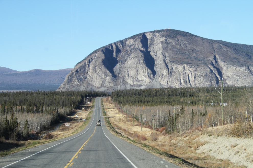
Scouting out another hike. The access from the highway isn’t clear, but that old road – another ming road, I expect – climbs to (or close to) a communication tower that’s barely visible right on top of the mountain.
2:21 – with more direct light now, the views to the north in particular looked quite different on the way down.
On a warm summer day, it would be wonderful to just lay down on some of these slopes for a while and savour this incredible world.
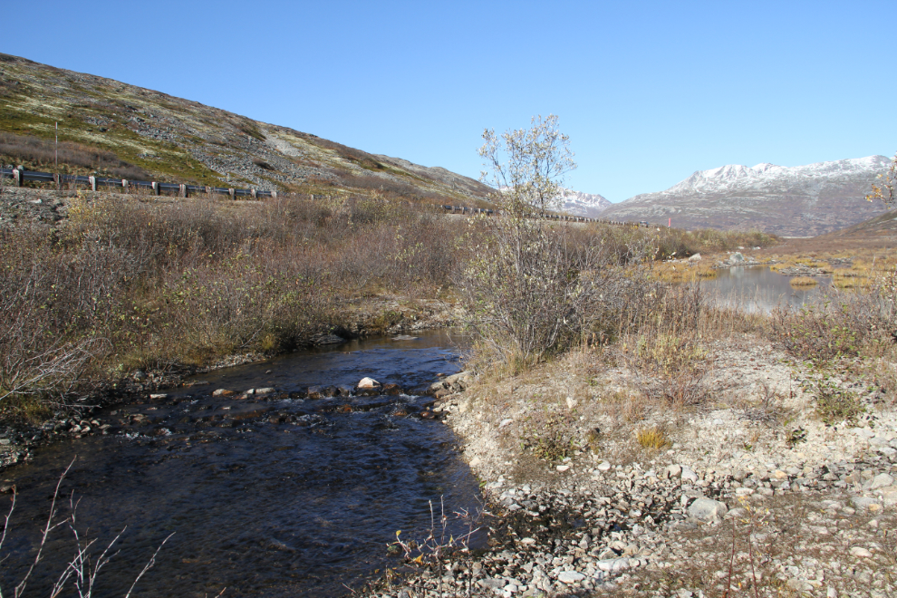
At 3:00 pm, another look at the first good drinking-creek we stopped at.

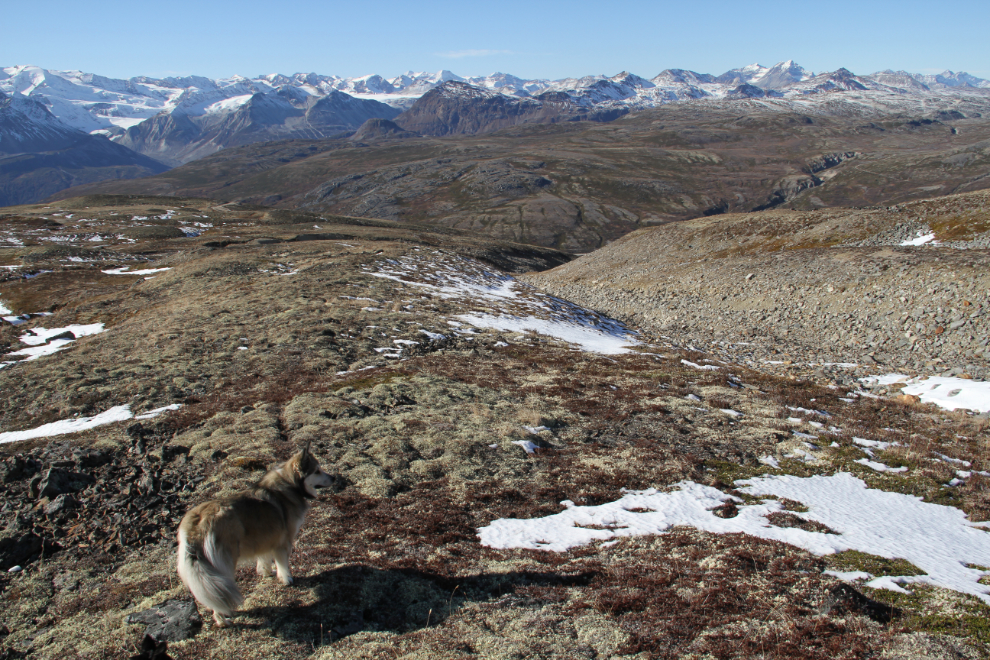
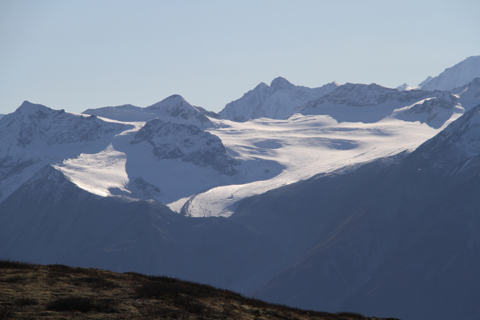
A telephoto look at one of the many glaciers that form a virtual wall of ice to the south.
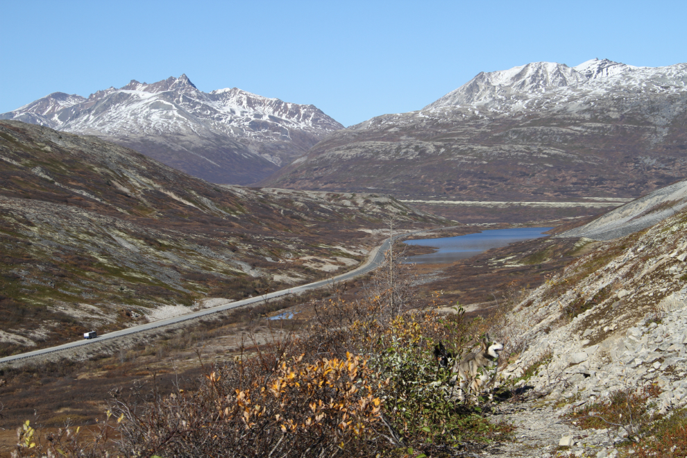
At 3:09, Three Guardsmen Lake is ahead, and the motorhome can be seen at the lower left.
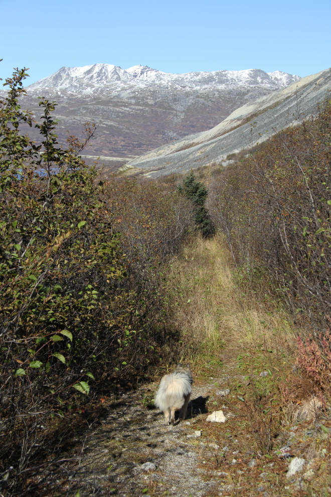
Back into the brush at 3:14.
Looking straight up – the third Guardsman is hidden behind Glave Peak on the right.
Going down, I could follow the road/trail right down to see where the actual start of it is. At 3:21, we reached the bottom, at the northeast corner of a long-abandoned gravel pit. A couple of survey-tape flags mark the start of the trail.
At 3:25, another stepping-stone crossing of the creek that drains Three Guardsmen Lake, and we were soon back at the motorhome.
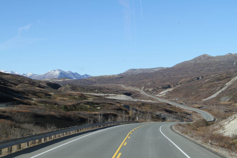
Within a few minutes, we were on our way towards home, 326 km (203 mi) away. This is looking north towards the Haines Summit, with Clear Creek (the creek we hiked along to reach the Samuel Glacier) in the valley bottom.
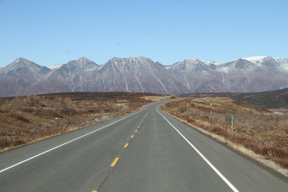
The Km 110 milepost can be seen on the right in this photo.
One last photo, shot at 5:13 on the Alaska Highway with Paint Mountain ahead. This is just east of Haines Junction.
We got home just after 7:00 pm, hugely pleased with the way the final high-country hiking trip of the season had gone. Next… – well, I’m not sure yet, but I’m pretty pumped about getting into more exploring.