Hiking Border Ridge in the White Pass
With a 90-minute hike up Summit Creek having gone well last Tuesday, I decided to give a more challenging hike a try the next day. The area I’ve come to call Border Ridge has no trail and rarely sees hikers. It’s high alpine – a land of bare granite, sparse vegetation, and spectacular views. Perfect for what I wanted.
It was almost noon when I finally parked the Tracker at the Km 24 milepost sign, right at the actual Canada/USA border, and started up. One of the border monuments can be seen in the first photo.
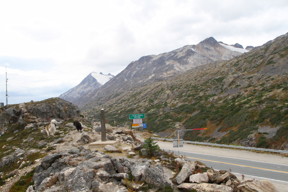
The access route I use is a very steep rock slide that is mostly covered with heather and other plants, making it dog-friendly. Tucker and Bella love this area, too, and were very excited. The tour buses below are stopped at the “Welcome to Alaska” sign.

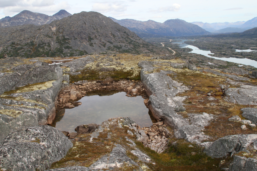
One of things that the dogs and I love about Border Ridge is the amount of water – there are clear snow-melt ponds everywhere, and most of them last all through the short summer. Some like the one in the next photo are in particularly dramatic granite-enclosed locations.

Walking north past the first of the high points, at 3,563 feet.
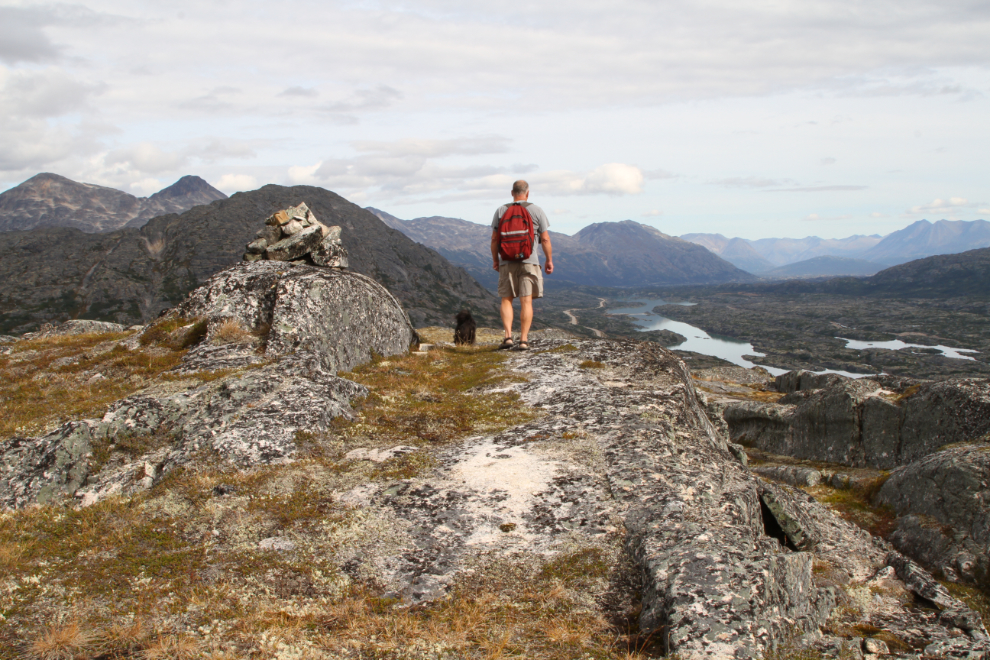
Bella was certain that something was living in the summit cairn (and she was probably right – a pika would be my guess) 🙂

One of the places on the ridge that particularly intrigues me is this little pond. Its granite surround is so perfect. This was by far the lowest I’ve seen the water level – perhaps I’ve not seen it this late in the season. When the water is deeper, though, it’s very cold.
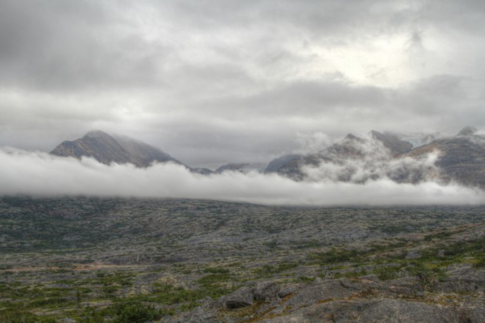
Clouds suddenly moved in, accompanied by a very cold wind, so I had to add a layer. I wonder if an earthquake caused that crack in the granite between me and Tucker. I need to check previous photos, as I don’t recall noticing it before.

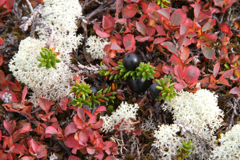
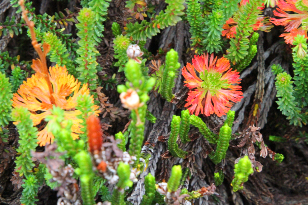
I need to spend some time with an alpine plants identification guide. I’m awful with names, but I do like to know more about them, particularly the berries and other possible edibles. I wonder which ones would make a healthy tea (if any), for example.

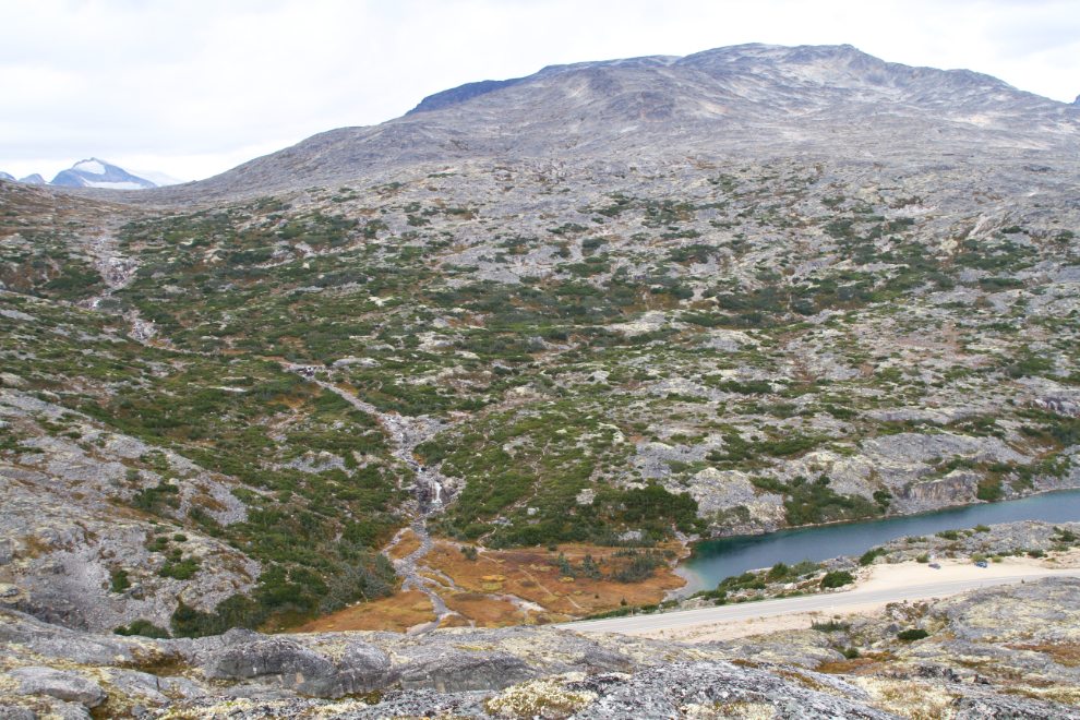
The next photo shows the same pond, with the summit cairn at the top. The “grain” of the ridge is clear here – it makes navigation interesting, going along and across the many little ridges and finding a way around the many cliffs.

The view from the north end of Border Ridge, with Summit Lake, and Summit Creek Hill the mountain to the left.
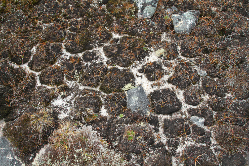
If you also wonder about such patterns, Google “why does ground dry and crack into patterns?” There are some pretty interesting articles 🙂
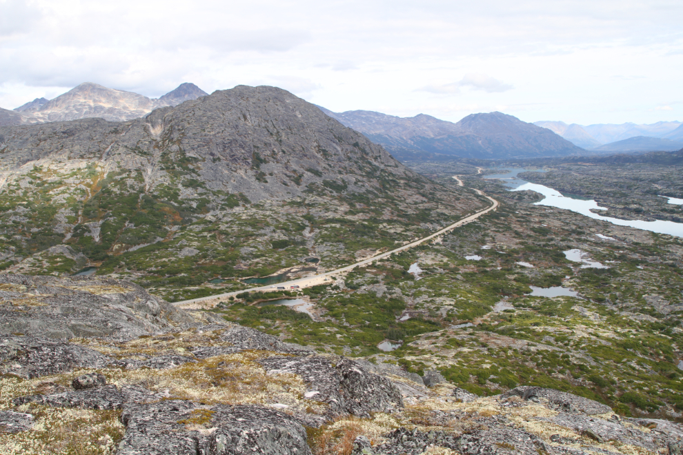
At the northwest corner of the ridge I was able to get a photo of much of the International Falls trail, where we hike regularly. The parking area and trailhead are to the lower right.
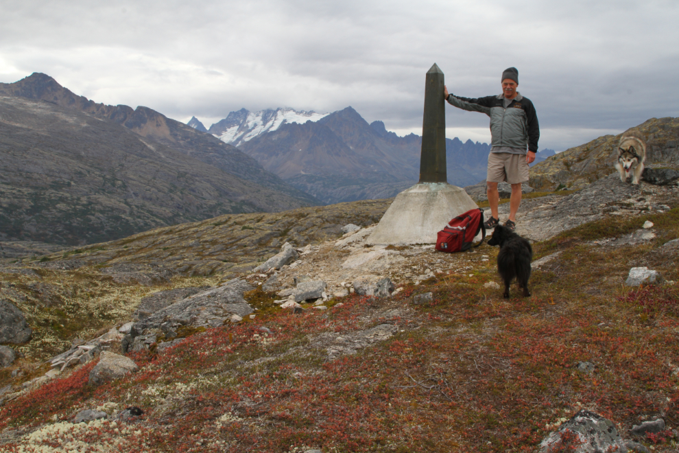
My next target was border monument #118, marked by the red arrow in the next photo. Fresh snow on the peaks to the left leave no doubt that the end of the season is drawing close.
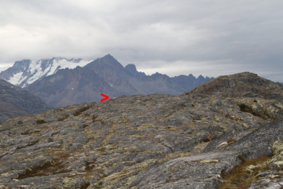
A closer look at border monument #118, which sits at 3,585 feet according to my inReach. It had now been an hour and 20 minutes since we left the highway.
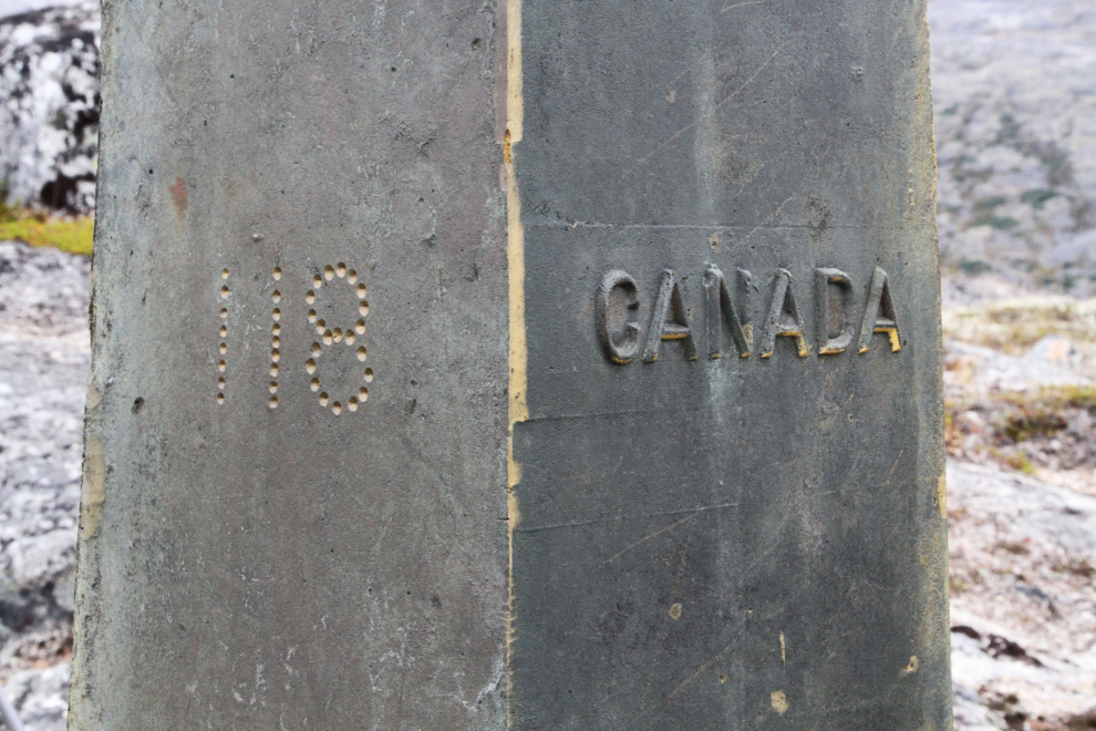
Some details…
I was getting tired, so from there we headed back towards the highway, stopping only to take a couple more photos of the Fall changes in vegetation. We got back to the car right at 2:00.

The weather on Wednesday had been somewhat better than forecast, but Thursday morning was chilly and damp, as expected. It had been an excellent trip, and I was okay with heading home.
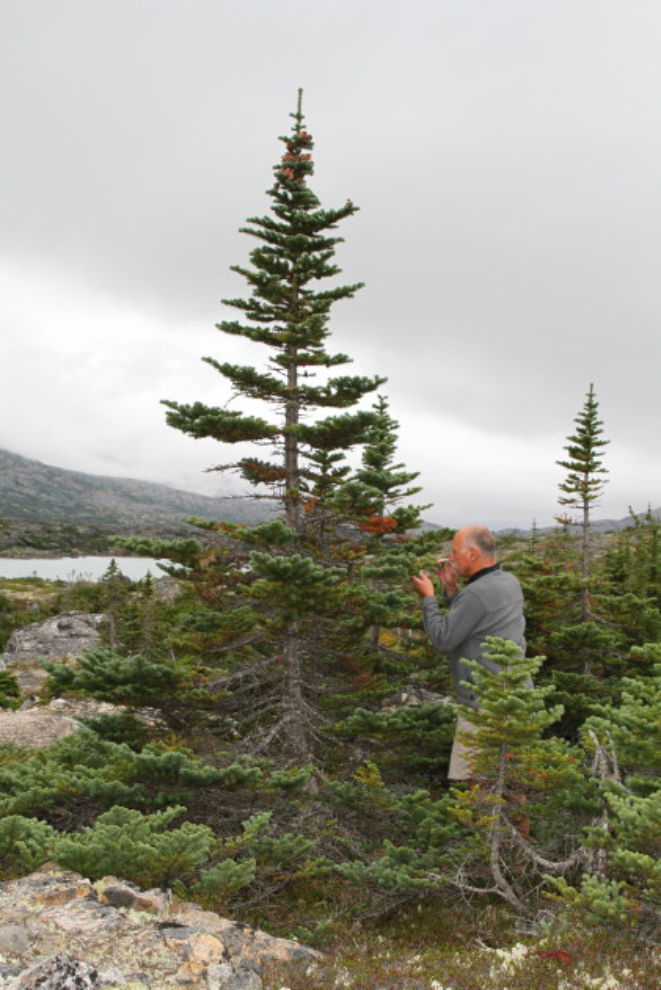
I shot one final photo to show you what trees near the White Pass summit are like. This is one of the healthiest of them, having lucked into a small area with a fairly substantial soil deposit. It’s probably much older than I am, and I wouldn’t be at all surprised if it’s over 100 years old.
We headed back to Whitehorse just after 10:30.