From Sea to Sky – Sechelt to Pemberton by ferry and road
On Day 45 of the trip, June 9th, after 37 days being within a short distance of the ocean, I moved inland. After taking a ferry from the Sunshine Coast, the Sea to Sky Highway (BC Highway 99) was the route to Pemberton.
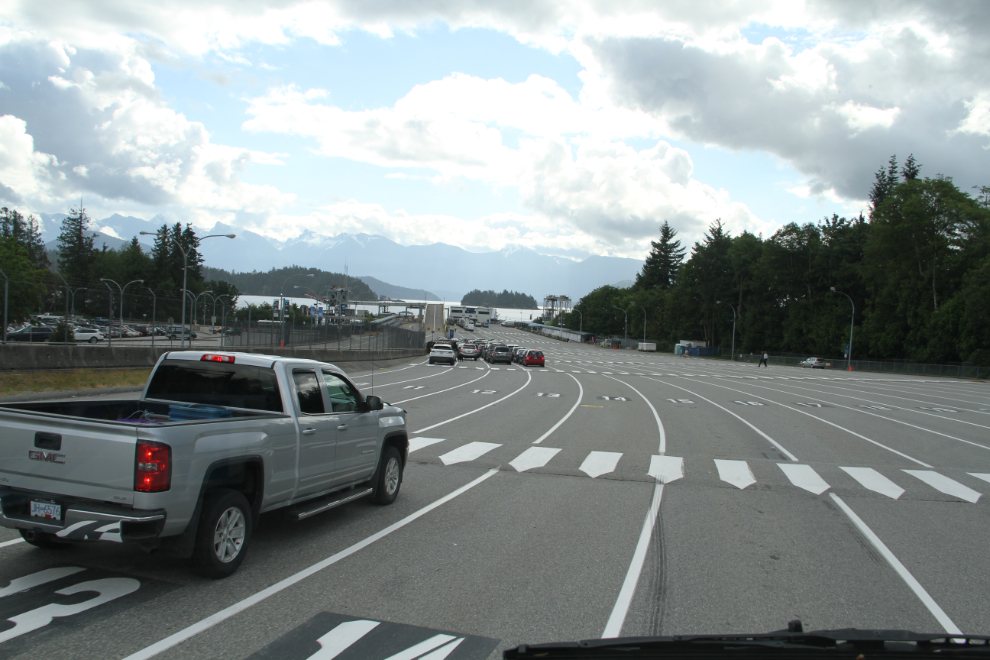
We had a nice calm morning at Porpoise Bay Provincial Park. The weather was much better than what had been forecast, so we got a long dog-walk in. At 09:35, we were at BC Ferries’ large Langdale terminal just north of Gibsons. Coming through Gibsons, I was shocked at the size of it now.
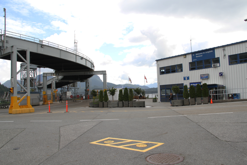
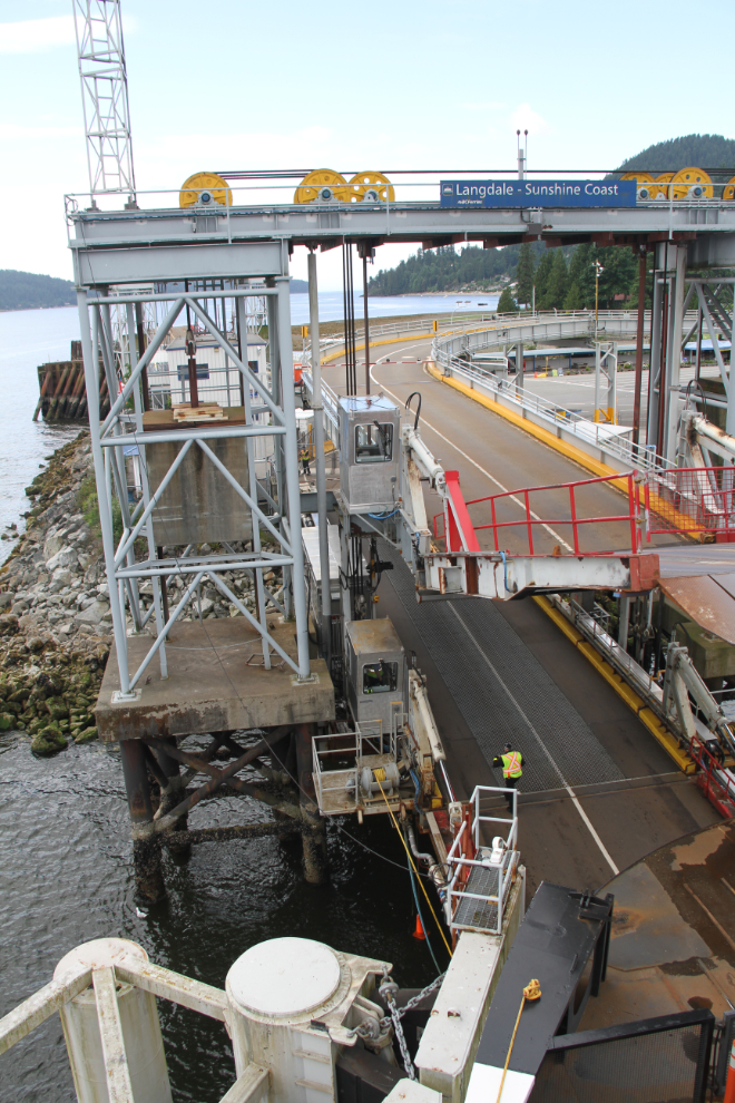
The Langdale dock and departure lounge.
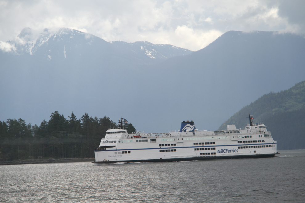
At 10:00, here comes our ferry, the Queen of Surrey.
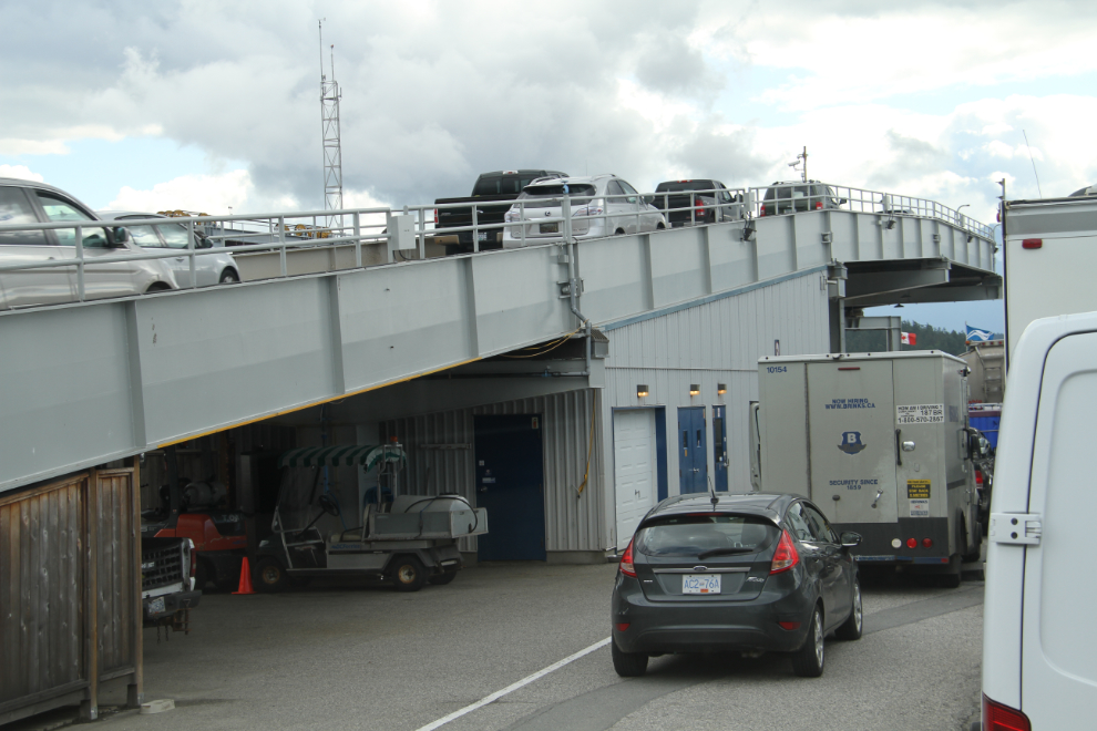
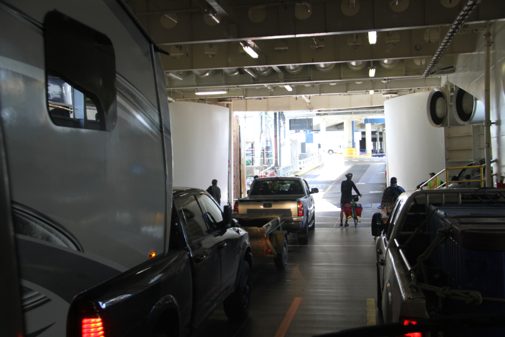
At 10:17, two levels of vehicles were loading.
Raising the gangplanks at 10:34.
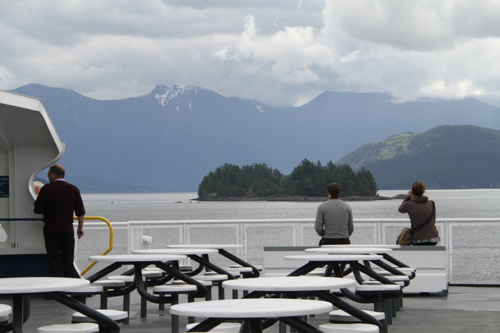
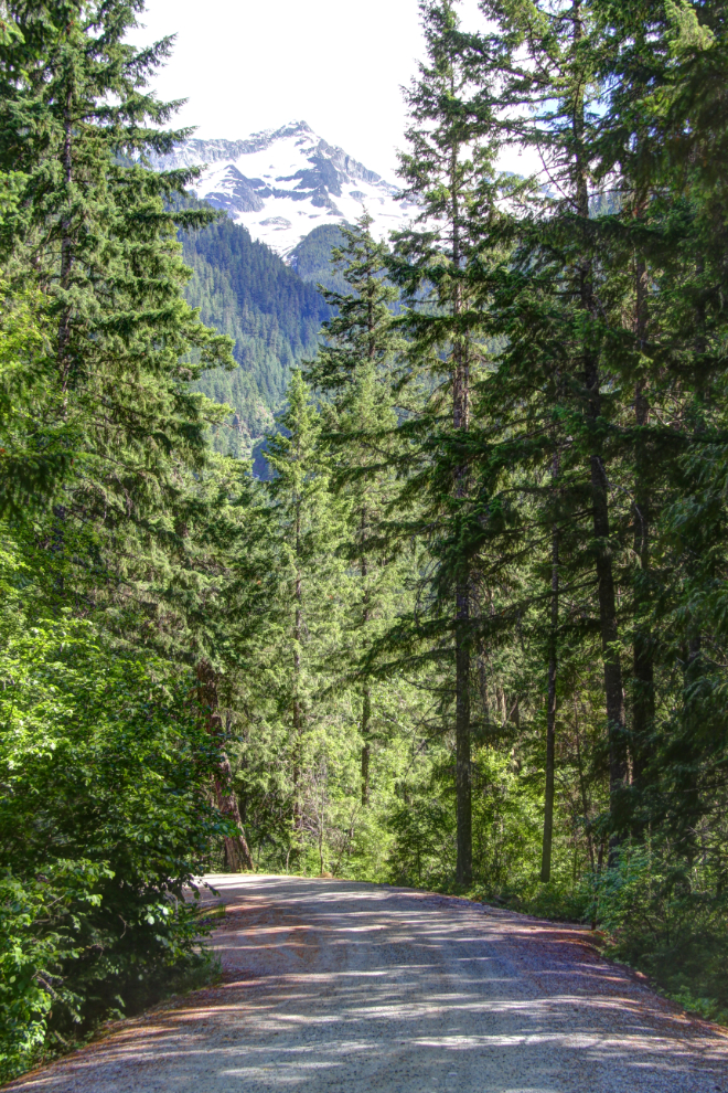
Up on the top observation deck.
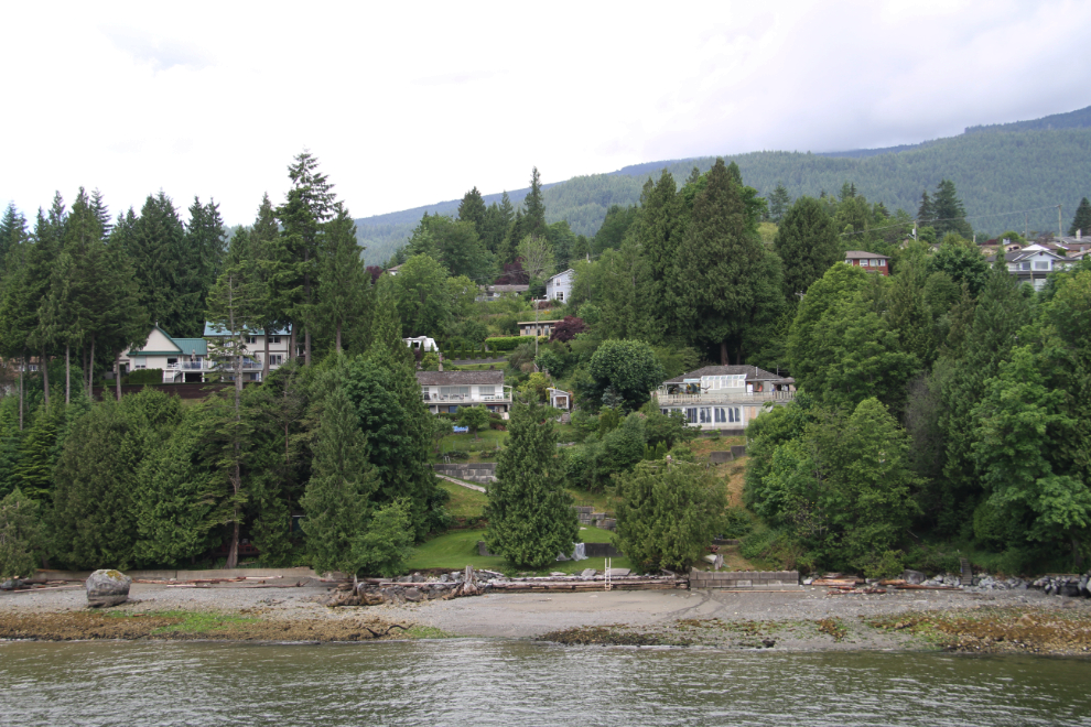
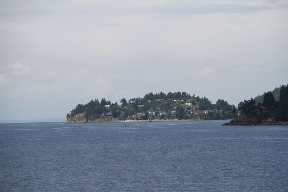
Some of the homes overlooking the Langdale terminal.
Sailing away from Langdale, at 10:39.
The rocks down at Gibsons are getting crowded.
The light wasn’t good for photography on the short crossing to Horseshoe Bay, so I took advantage of the business centre on the Queen of Surrey to get my laptop recharged a bit. The “free wifi” note beside the table got my hopes up, but it barely functioned. I managed to get a couple of emails answered, and that was all.
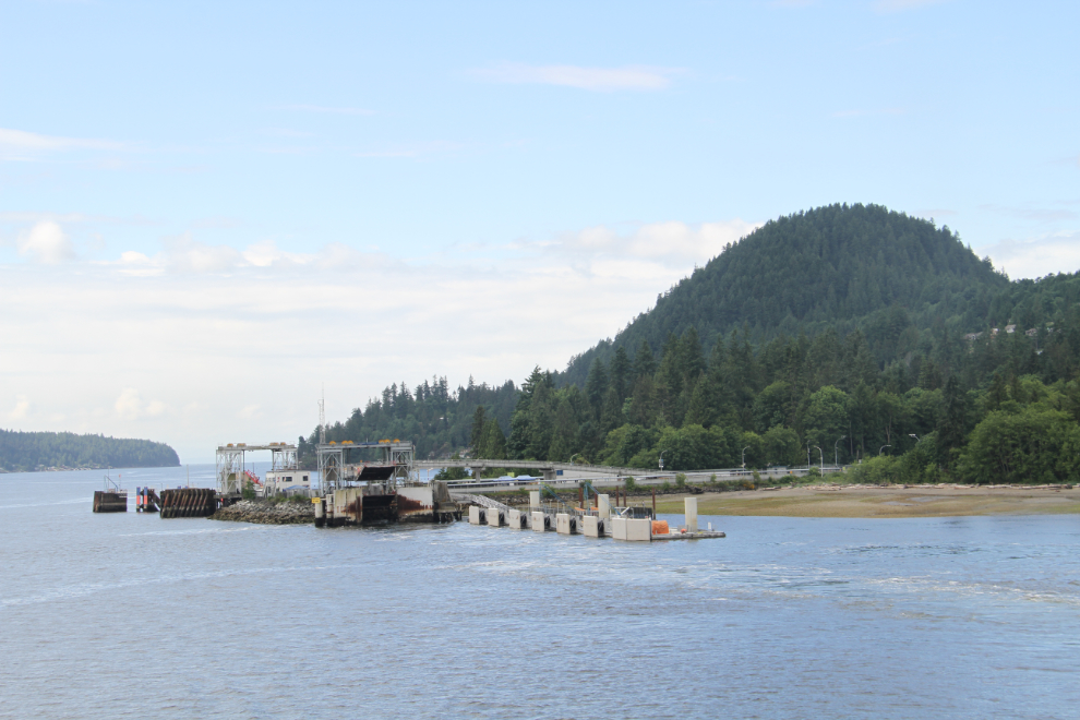
At 11:17, we were about ready to start unloading at Horseshoe Bay.
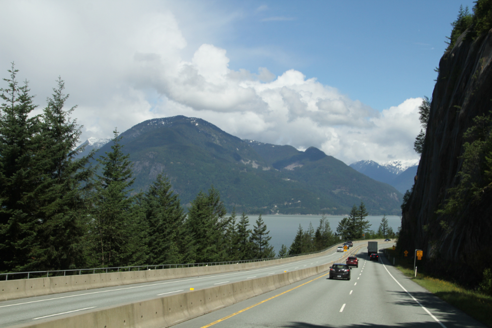
The highways at Horseshoe Bay have to get a lot of vehicles moved, but are very tightly contained by the ocean and very high cliffs. The result is an incredible maze, but navigating through it wasn’t difficult. By 10:40, the Sea to Sky Highway was feeling good. I didn’t know where we’d end up that night, I’d just stop when it felt right
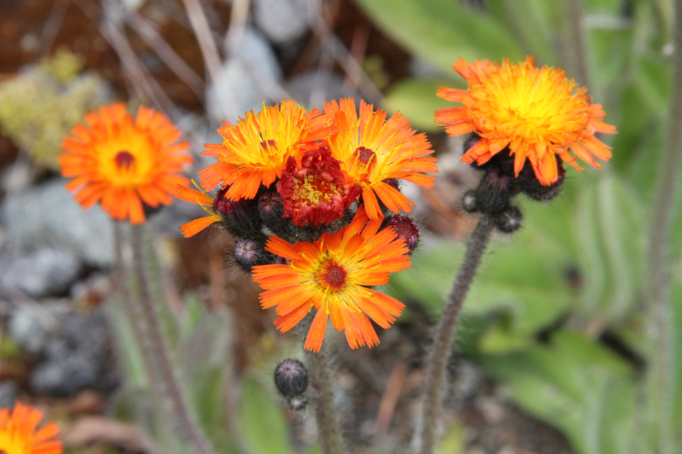
Near Whistler, a large pullout was perfect for a dog-walk, then lunch and a nap. There were also some flowers to photograph.
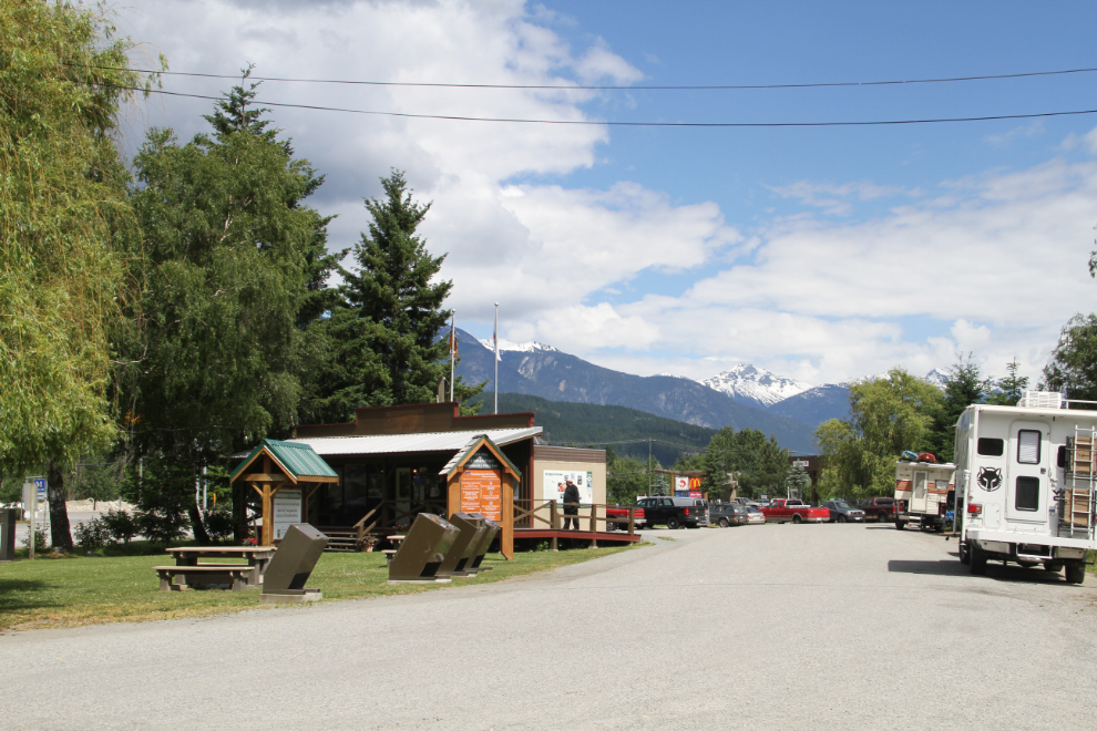
The highway had been very busy, but 95% of the vehicles turned off somewhere in Greater Whistler”, which is getting ever closer to Pemberton. I stopped at the Pemberton Visitor Centre to see what the options for activities and camping are. The woman on duty offered to let me use a back room to plug my laptop in and finish a couple of blog posts, so we were there for an hour or so.
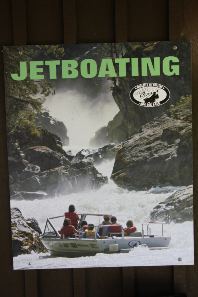
That looks interesting.
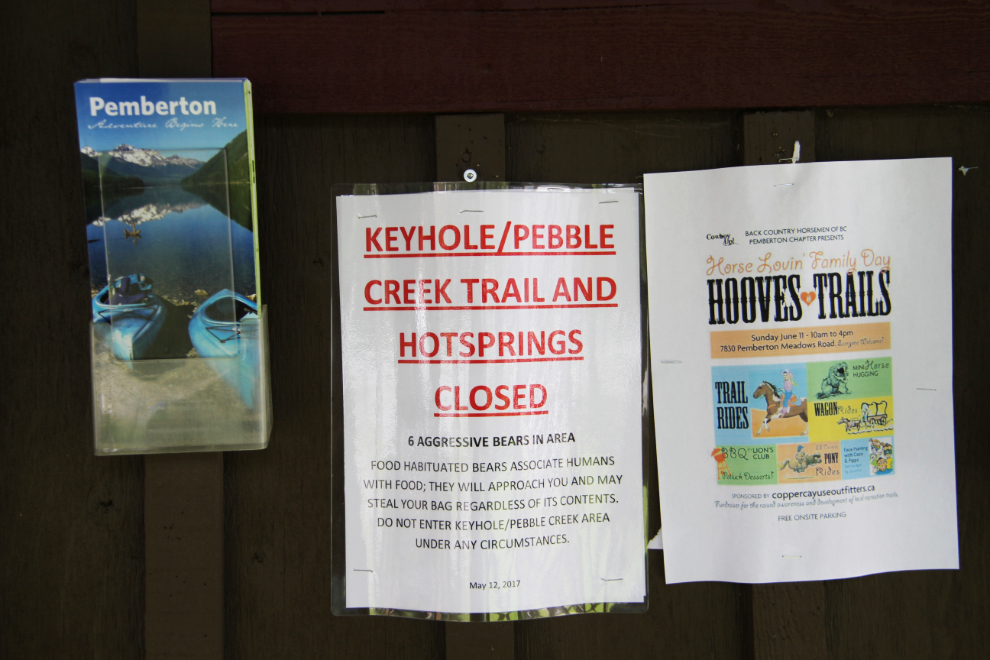
It was sad to see that one of the most popular natural hot springs in the area has been closed. The actions of some irresponsible campers there have resulted in 6 food-conditioned bears causing problems. Access to the hot springs was closed last year, and nobody seems betting on when it may re-open.
Nairn Falls Provincial Park intrigued me when I went past the entrance just before reaching Pemberton, so I decided to camp there for the night. I got set up in a site with the spectacular view seen in the next photo, but then as I was taking Bella and Tucker for a walk a few minutes later, noticed the “Reserved” sign on the post. There were many other “Reserved” signs around the park – the fact that 60 of the 94 sites can be reserved is a good indication of how popular this park is.
Oh well, a loop around the campground, and few minutes later we were re-established at a camp site in the forest close to the start of the trail to the falls. The nightly fee here is $22.
The first order of business was then to hike into Nairn Falls, which I’l tell you about in the next post.