Flying to Calgary for a few days
I’m way behind now, but I still want to post about my trip to Calgary. I flew down to see my kids on April 3rd and returned on the 8th. Unfortunately I caught a cold my last day there, and the day after I got home I was down and out. Today (April 23rd) is the first day I’ve felt well enough to write.
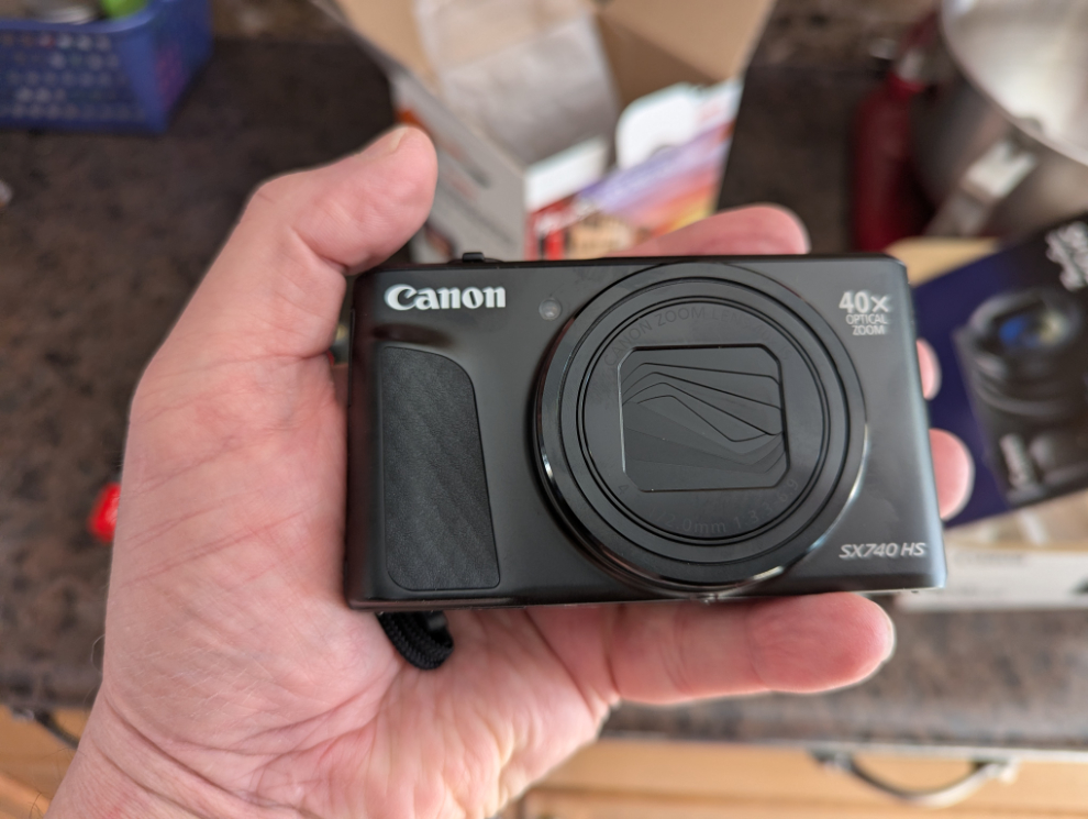
The day before I flew south, I got a new camera, and the trip was a great opportunity to try it out in a wide variety of conditions. I had been thinking about getting a small camera for years, and after seeing a friend using her Canon Powershot SX 740 HS when we went to the White Pass a few weeks ago, I did a bunch of research and ordered one from my Whitehorse dealer.
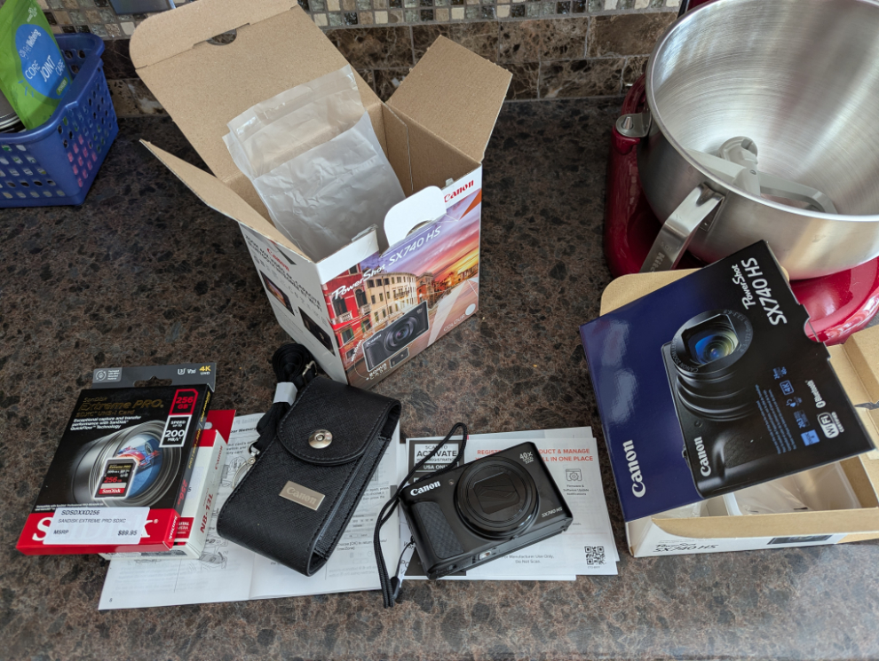
It’s tiny, but powerful – the 40x zoom is equal to 960mm in SLR terms.
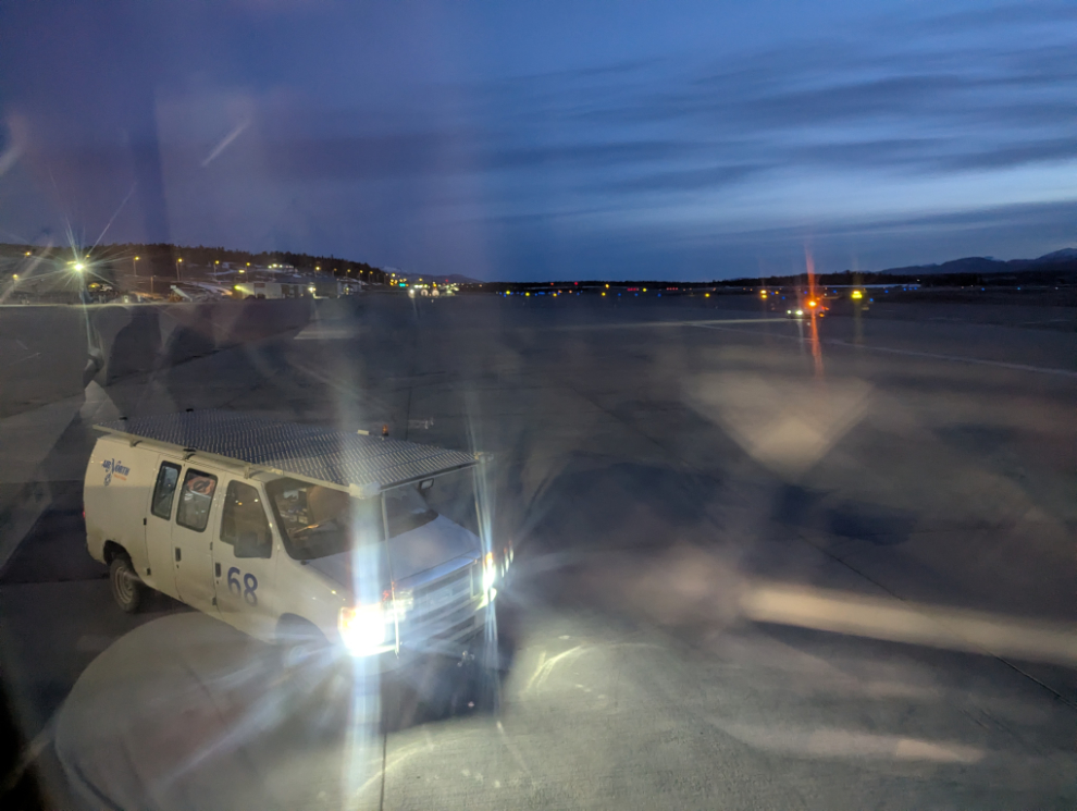
I had booked an Air North flight that was scheduled to depart at 06:35 to give me a good day in Calgary. The new Canon wouldn’t focus for this shot, so I used my phone. I still don’t know what the issue was.
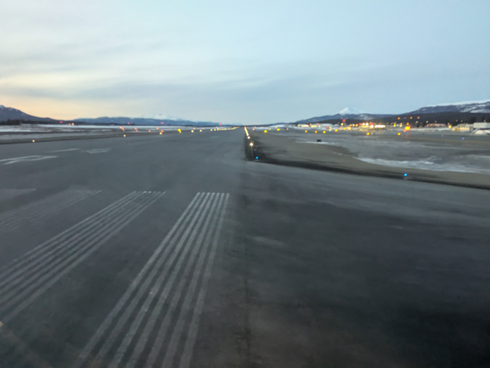
Lining up for the runway at 06:48.
Climbing out at 06:55 – that’s the Mount Sima ski hill to the west. The weather forecasts indicated that we could get pretty much anything, but it was expected to be just below 0 with probable flurries in Calgary.

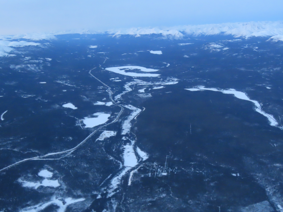
Looking south down the South Klondike Highway. The horseshoe lake is Cowley Lakes (I don’t know why the name is plural), and the largest lake to the right is Murray Lake.
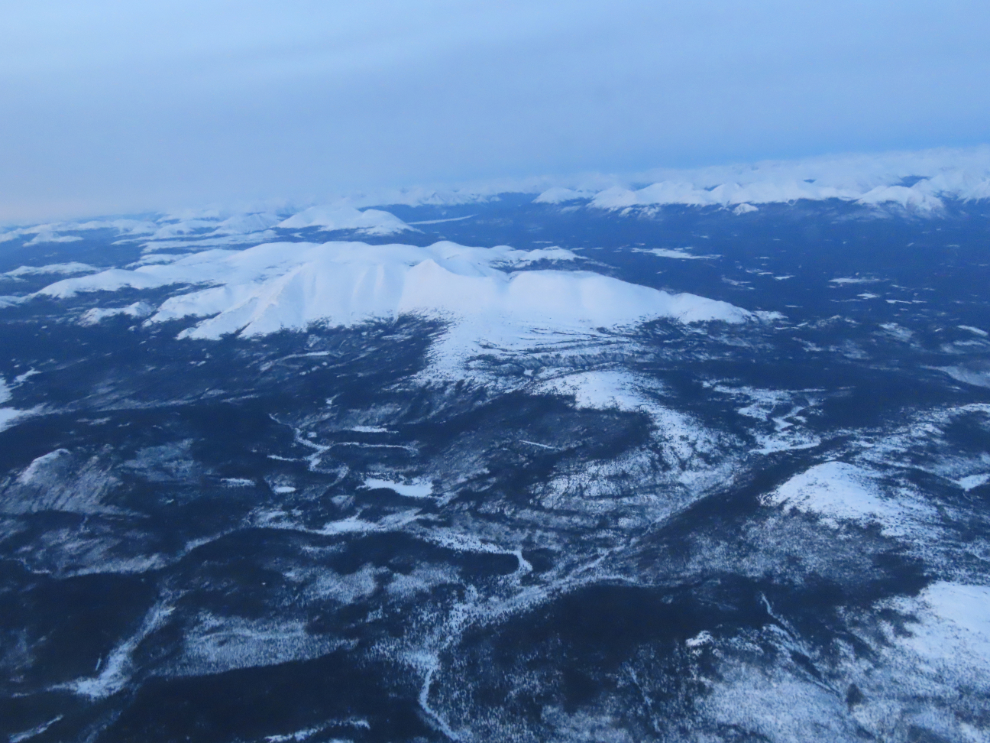
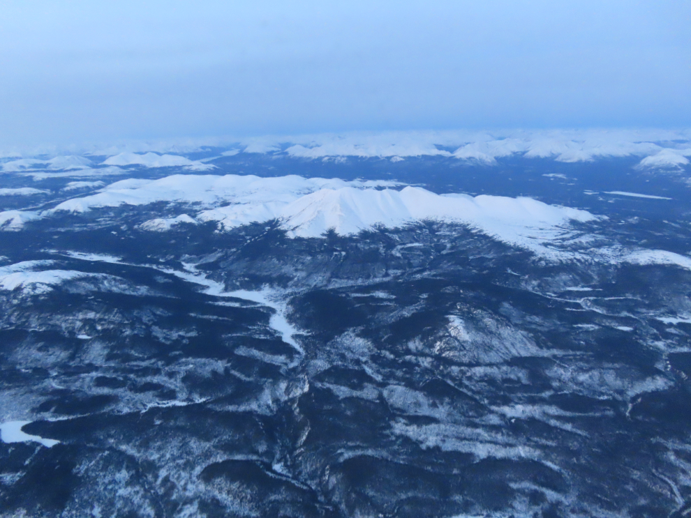
A couple of views of Mount Lorne.
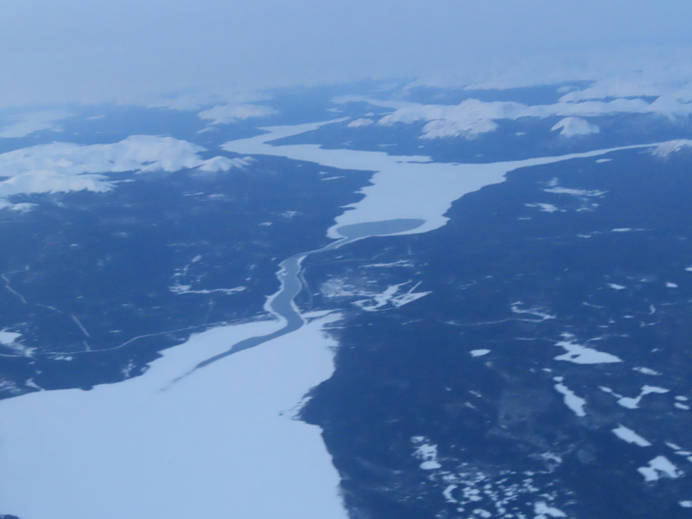
The community of Tagish is in the centre, right at 07:00. The Tagish or Six Mile River feeds the water from Tagish Lake at the top into Marsh Lake.
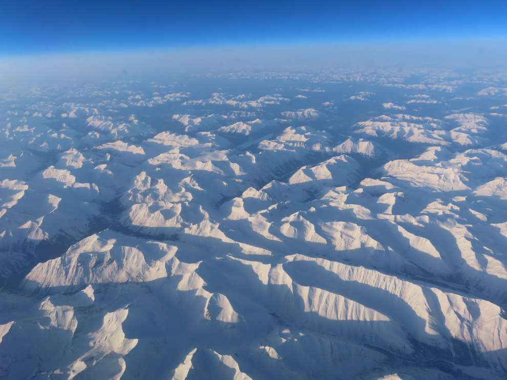
I haven’t figured out where the next two locations are, but they were shot at 07:17 and 07:18, which should put them south of Swift River (which is on the Alaska Highway).
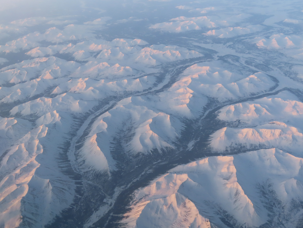

Looking across a sea of granite at 07:39.
Clouds killed my views for quite a while – when it cleared, we were landing at YEG (Edmonton).

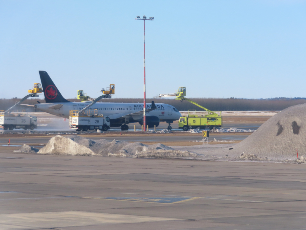
It was a lovely morning. Air Canada’s C-GNAM, an Airbus A220-300, was being de-iced as we taxied in.
Most of the people on the plane got off in Edmonton, and a few boarded, bound for either Calgary or Whitehorse.
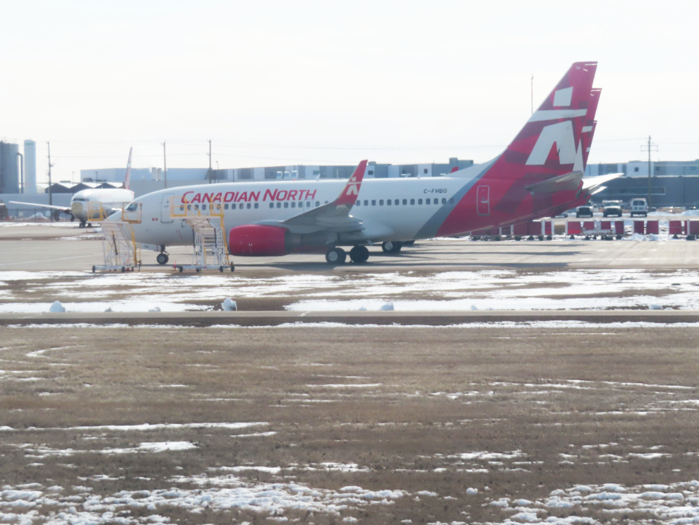
We were on the ground for just over an hour. At 10:47 local, we were taxiing past the Canadian North base. C-FHBO is a Boeing 737-7CT.
Away we go – Edmonton-Calgary is a 55-minute flight.
Almost immediately after taking off, we were over an area that had gotten snow overnight. That’s Wizard Lake off to the west.
A few seconds later, Pigeon Lake.

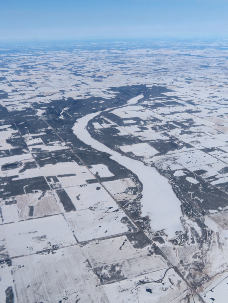
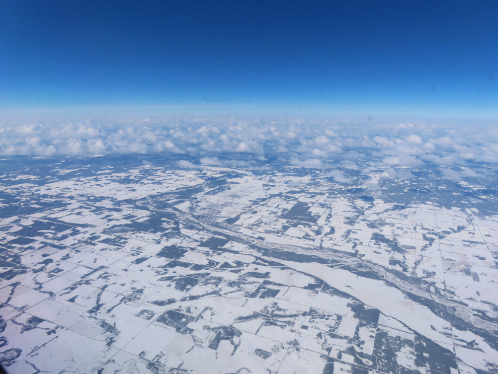
Looking southwest up the Red Deer River.
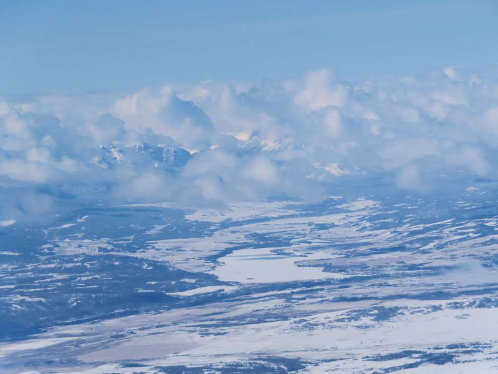
In the centre is Ghost Lake, created by the Ghost Lake Dam. I’ve explored that area by road a few times.
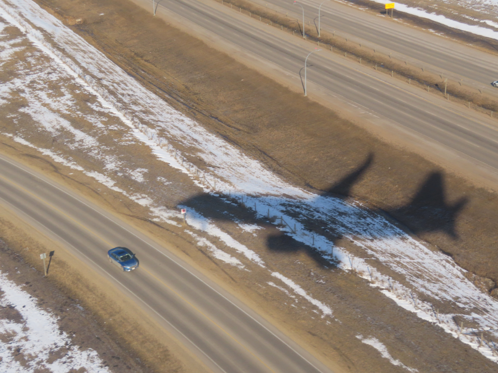
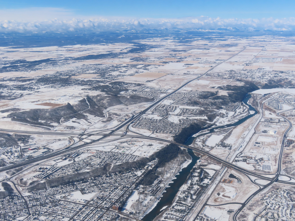
A look at the Bow River, with the Trans-Canada Highway heading west, as we circled downtown Calgary to land. The amount of land taken up by highways always amazes me.
Canada Olympic Park was originally Paskapoo Ski Hill, then was upgraded for the 1988 Winter Olympics.
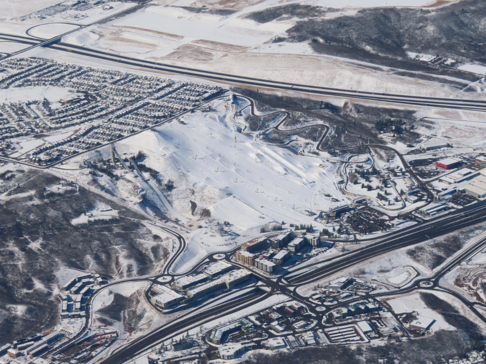
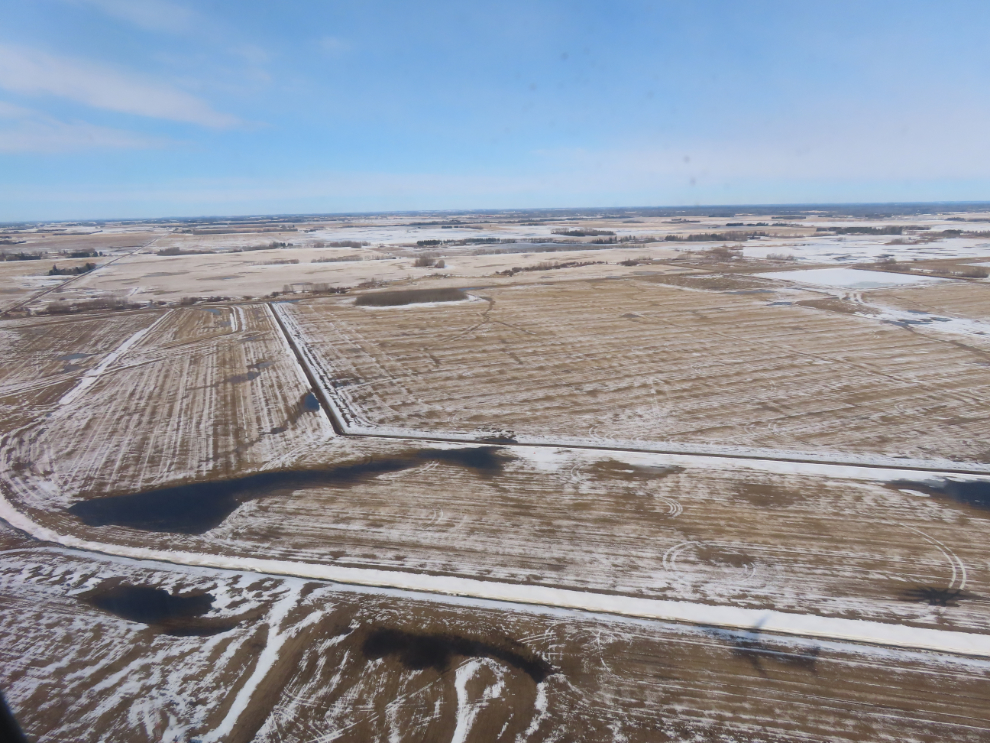
Machinery and a warm sun were combining to rapidly deal with the snow.
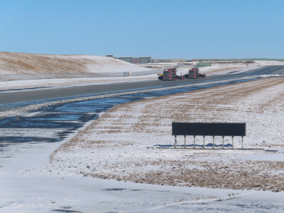
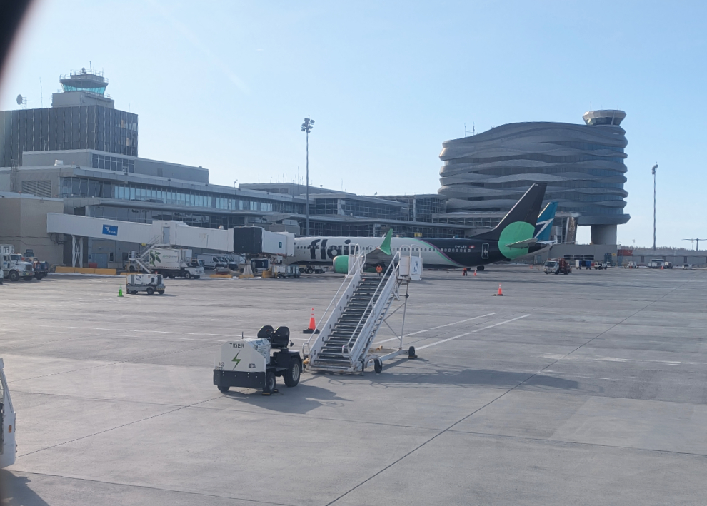
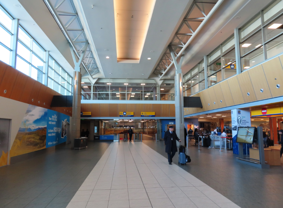
The airport was very quiet.
My son arrived to pick me up, and I was soon settled in. This would be my view for the next few days. It was Spring break for the kids, so I’d get to spend lots of time with 4 of my 5 grandchildren (#5 is in law school in Australia).
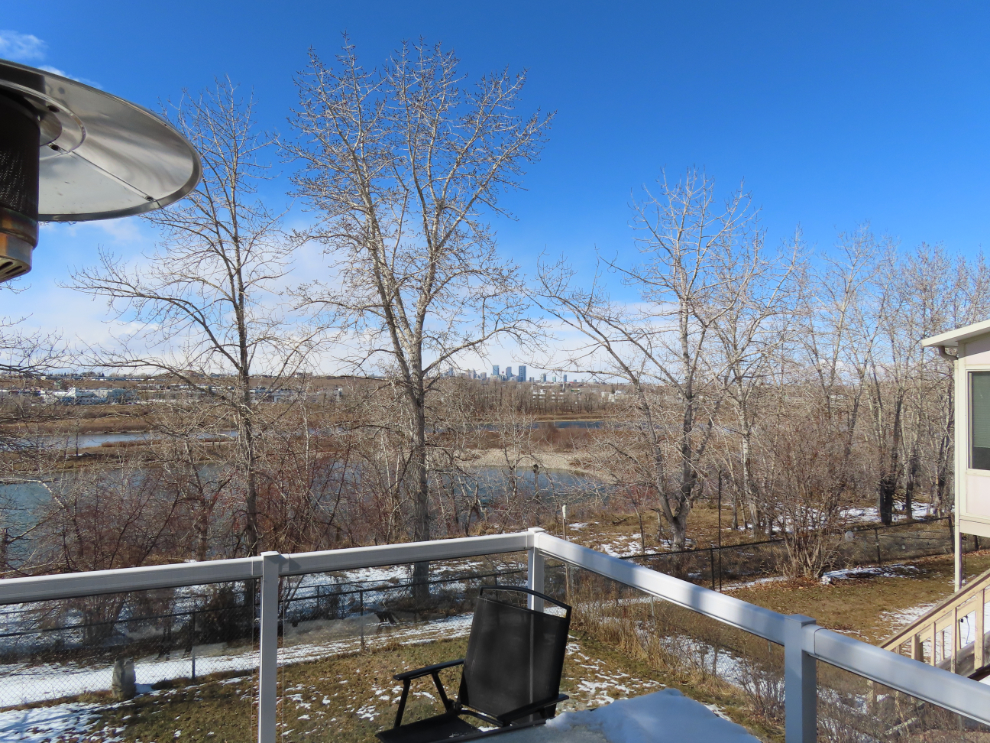
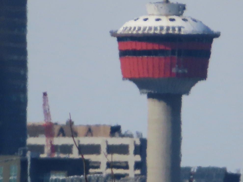
In the centre of the photo above, Calgary Tower, which was the dominant feature of downtown Calgary when it was built in 1967-68, is barely visible among the office towers. From the same spot, this is what it looked like with the full 960mm zoom on the Canon. Pretty impressive!
I spent a lot of time along the Bow River and in Carburn Park by myself and with friends and family, and showing you those places will make up most of the next post.
Full moon at eagle plains with a dusty delivery delight, future looks bright for your DNA, 👍
Good day Murrster from unseasonably chill Nova Scotia but keeping the bugs in delay mode for now, Edmonchuck and Cowtown are different cities from when I was doing city tours there, progress waiting for no one apparently, impressive little camera you hooked up with, grandpa getting to see the little farts is always a beautiful thing, thinking one of them hopefully has your DNA to carry on the exploration traits into the future on Mars, you are having a amazing life, thanks for allowing us to be part of it eh, take care amigo 🍔🍺
Good afternoon, my friend. Yes, both cities are very different places than when I was there driving a bus charter of rowdies! We even got mooned way back then! Yes, made me think of the full moon at Eagle Plains 😀
My two oldest granddaughters both have the Explorer Gene, I’m proud to say.