Flying from snow to warm sand
On Monday morning we flew out of Whitehorse, and we’re now on board Holland America’s Noordam at Port Everglades, Fort Lauderdale, Florida. Three flights totalling 9 hours got us to a very different world. Here’s how it went…
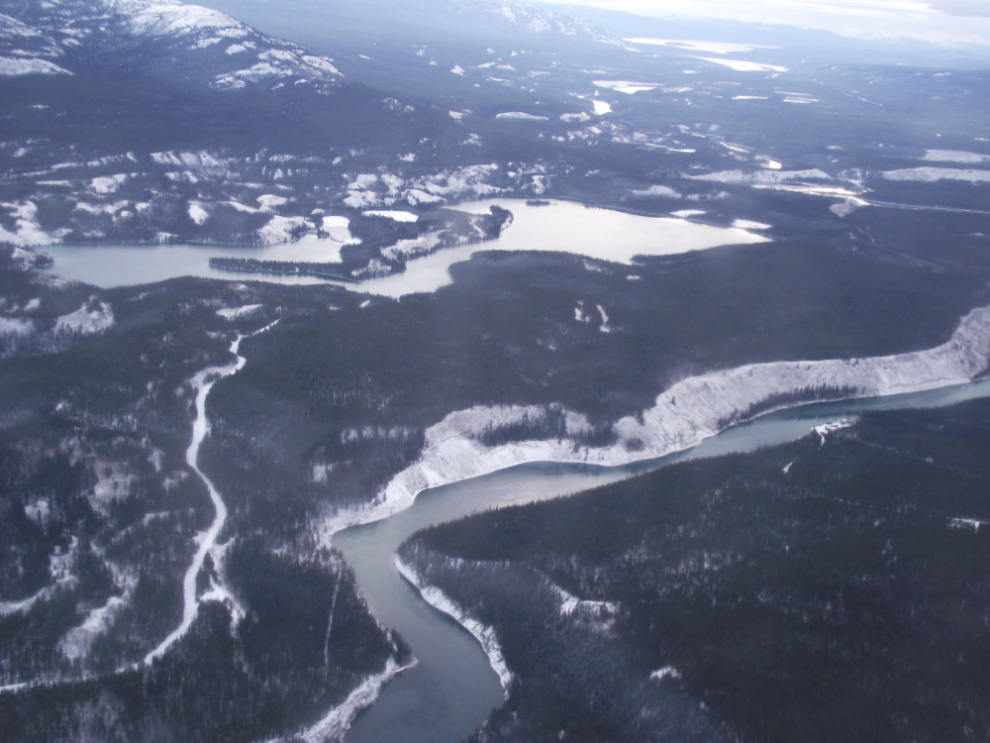
November 1: We took off at 11:10 am – this is the Yukon River a mile or so off the end of the runway.
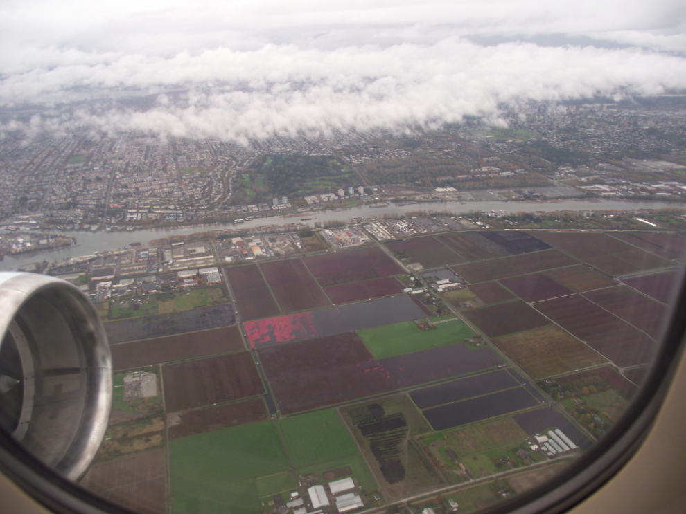
It’s 2 hours, 15 minutes to Vancouver (YVR), then we had just over an hour to wait for the next leg. At 2:53 pm we were over the cranberry fields to the east of YVR. When I lived there I enjoyed watching the process of flooding the fields to harvest the berries – the field in the center of this photo has been flooded and you can see the red berries.
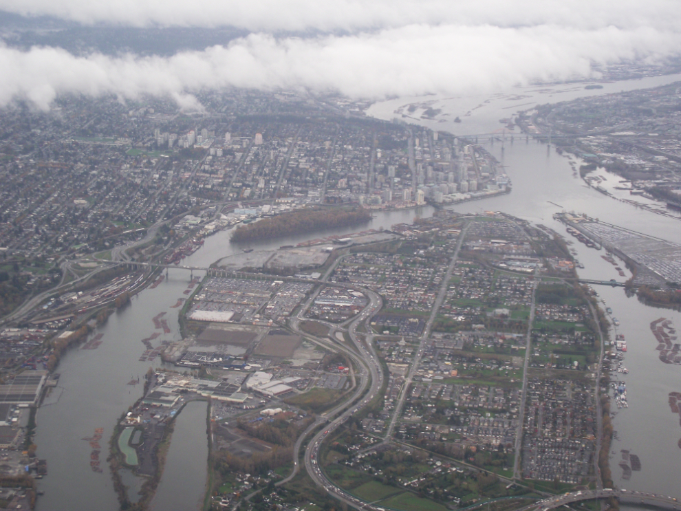
New Westminster. We were able to get most of the flights needed for this trip in Executive class on points. I still haven’t got my head wrapped around paying real money to fly First Class, but is it ever nice! There’s none of that “rigours of travel” talk on that side of the curtain! 🙂
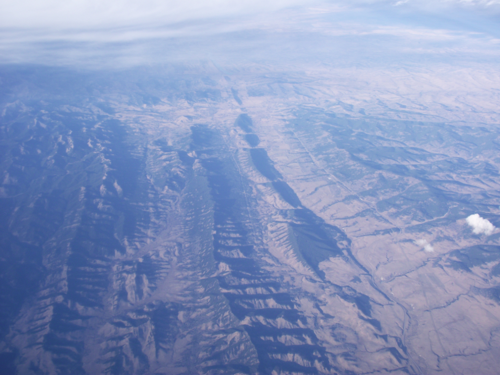
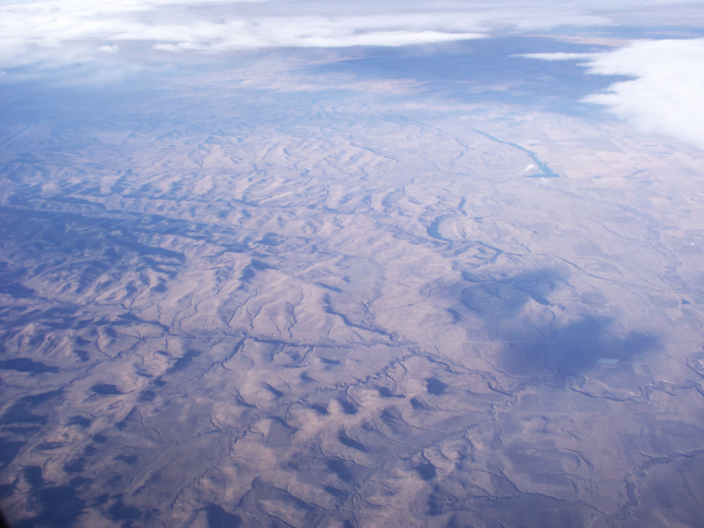
This interesting series of formations is on the eastern slope of the Rockies, seen at 3:34 pm.
A minute later, I shot this just west of Claresholm, Alberta.
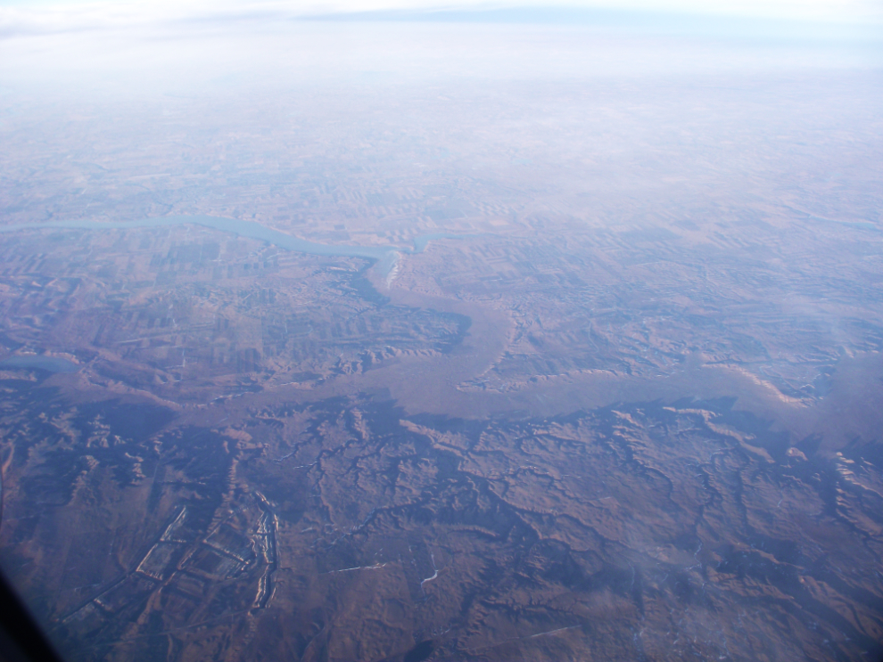
A huge dry riverbed in the border country south of Regina, shot at 4:12 pm.
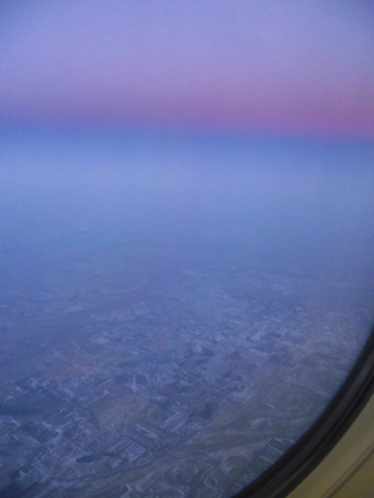
The wonderful colours of dusk, at 4:42 pm (6:42 local time).
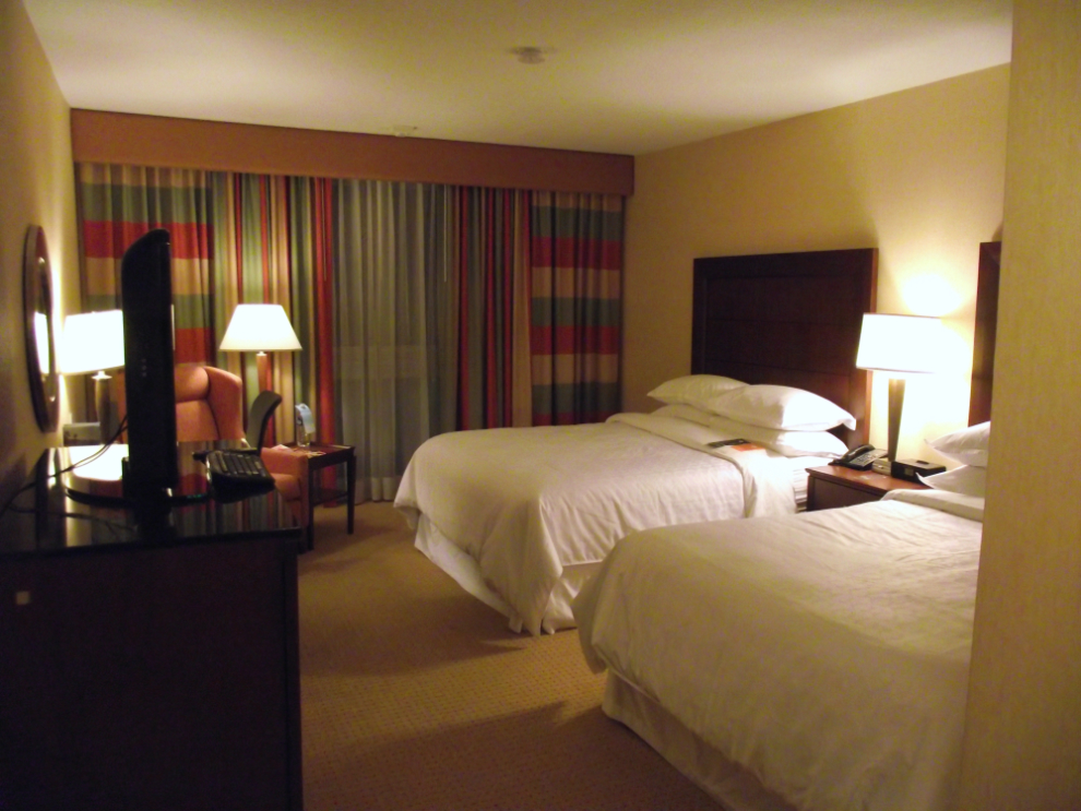
After rather a long wait for the shuttle bus, we got to our room at the Sheraton Toronto Airport at exactly 11:00 pm local time.
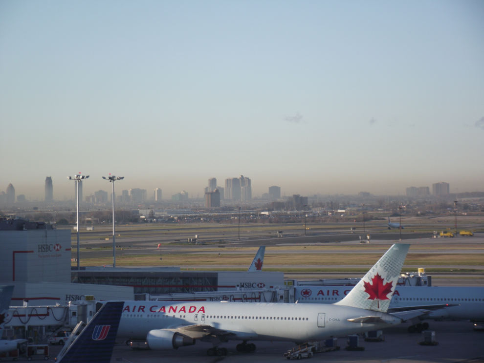
November 1: Looking across Toronto airport towards the towers along the lakeshore at 08:46 am. This was shot from Air Canada’s Executive Lounge, another perk of flying Executive class.
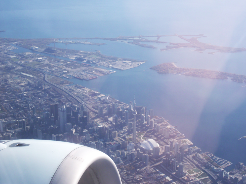
Downtown Toronto at 10:57 am.
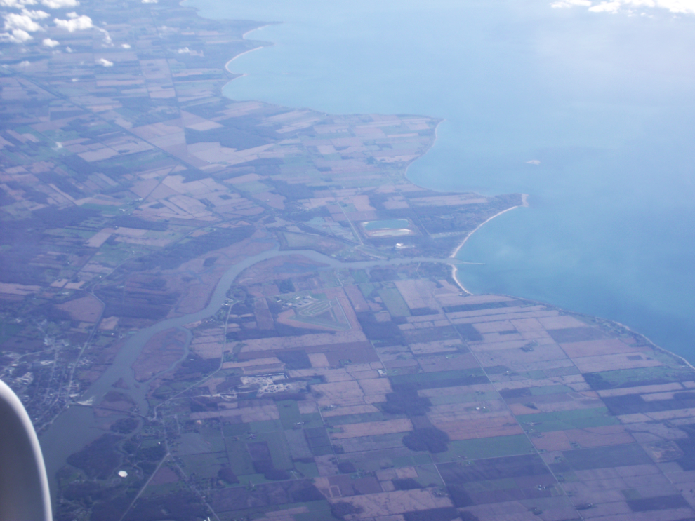
The Grand River in Niagara at 11:05 am.
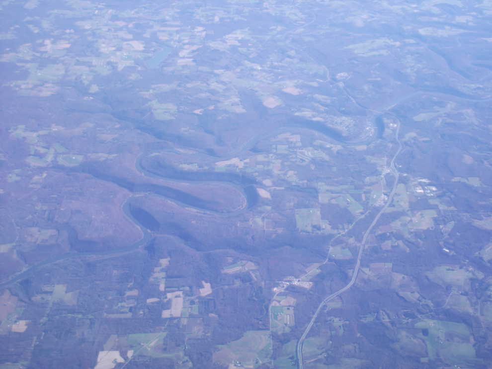
11:19 am
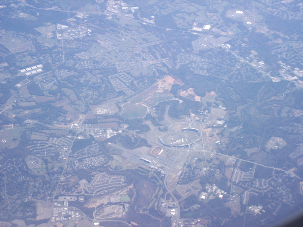
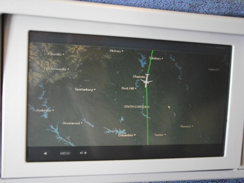
It was very cool to be able to identify Charlotte Motor Speedway as we flew over at 34,000 feet at 12:06.
The map keeps me somewhat oriented but for flying in particular I wish I had one of those GPS-enabled cameras.
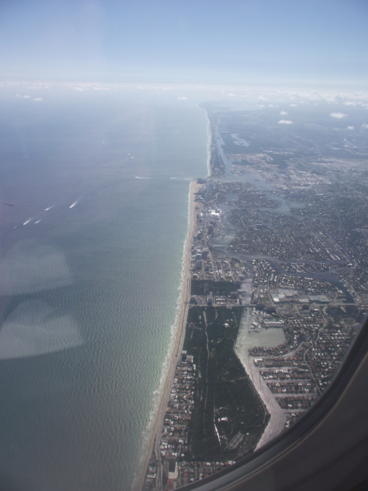
The approach over the beach at Fort Lauderdale is quite stunning – the light on the other side of the plane made it even more so.
Fort Lauderdale airport (FLL)
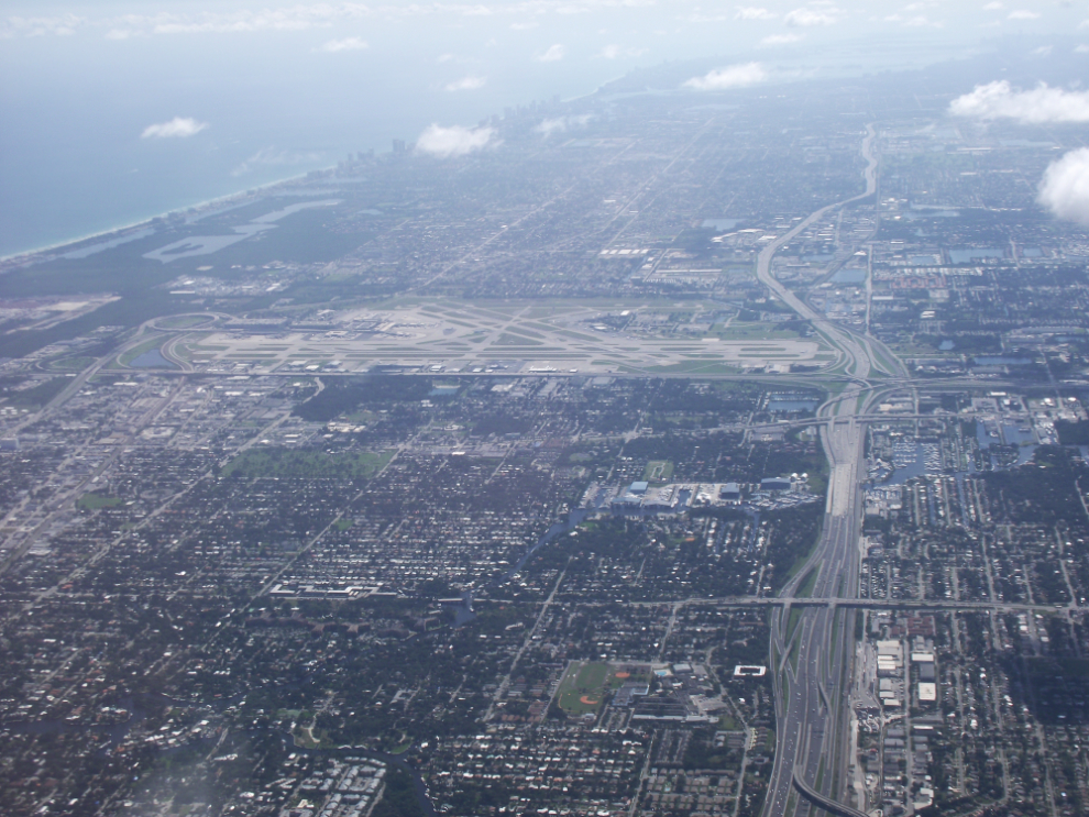
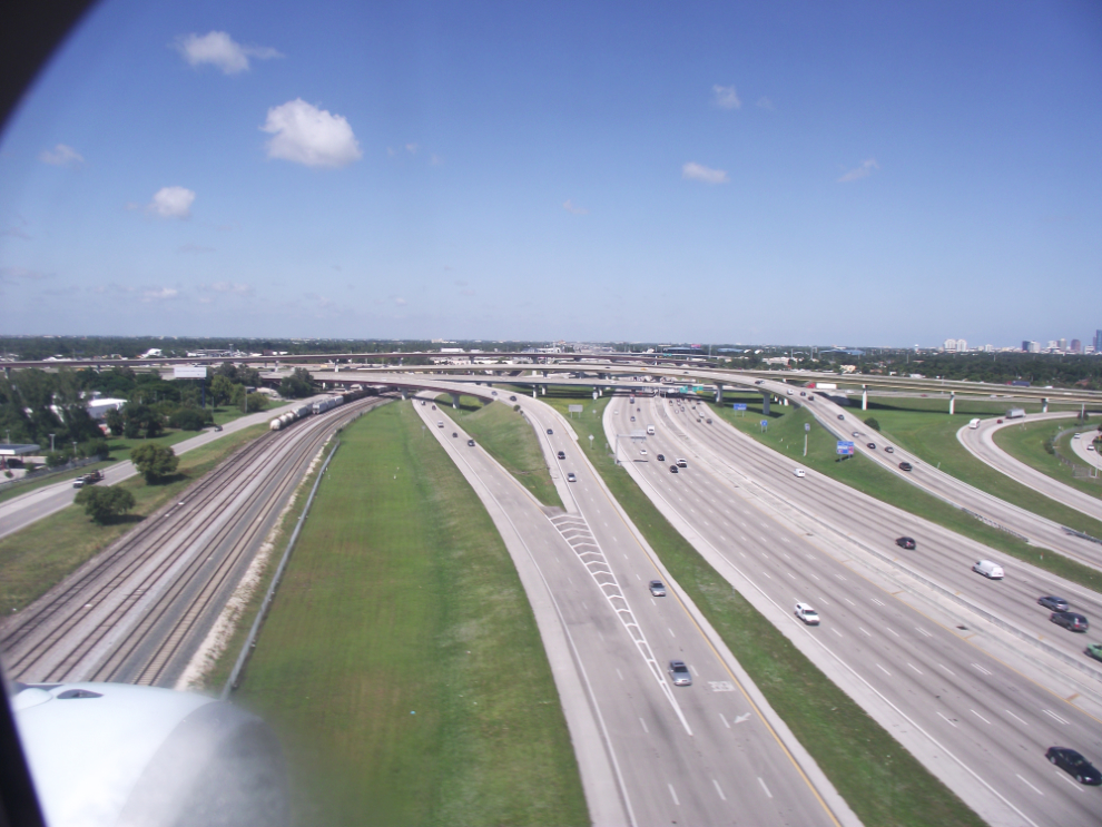
Highway 95 from close overhead.
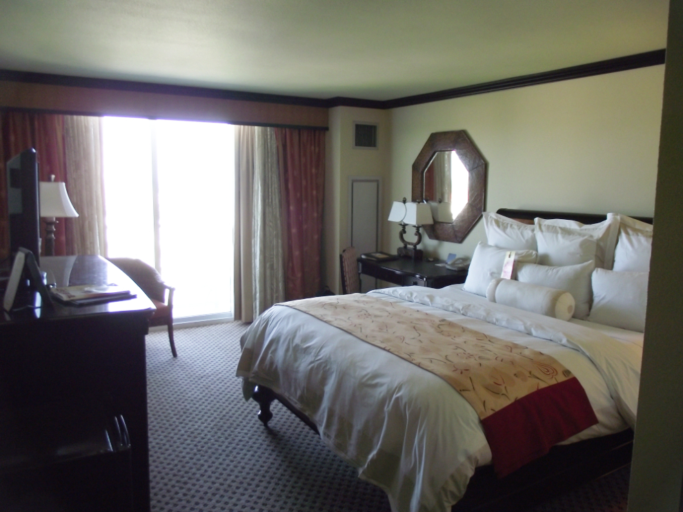
Room 717 at the Marriott Hollywood Beach.
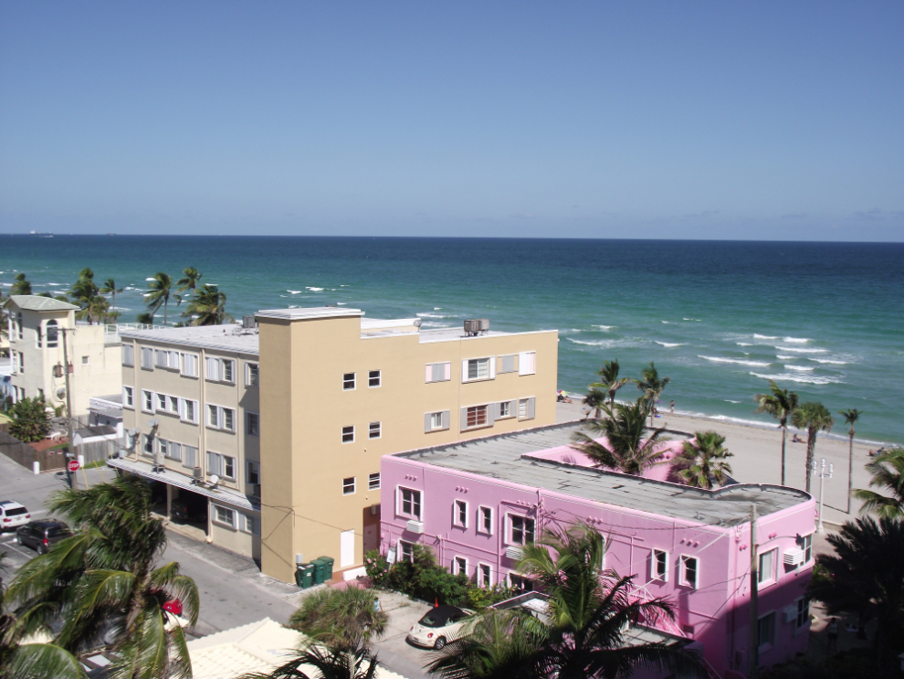
The view to the east from our balcony.
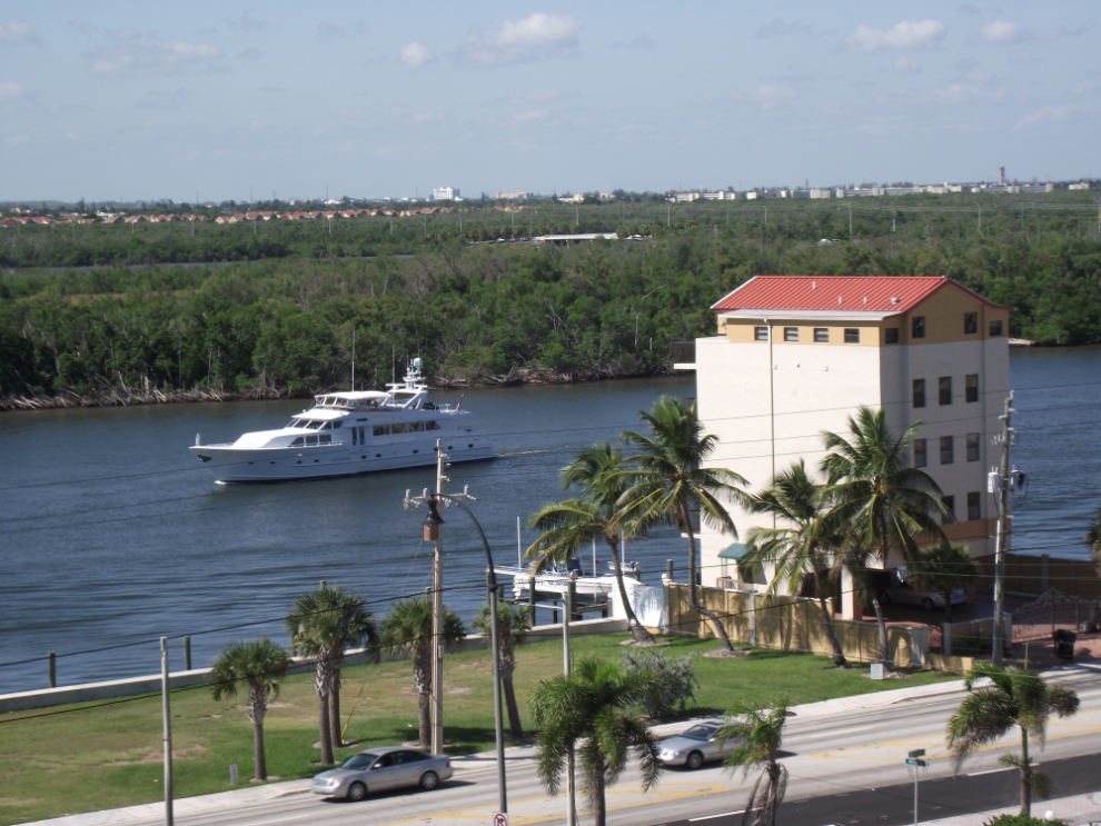
The view to the west from our balcony.
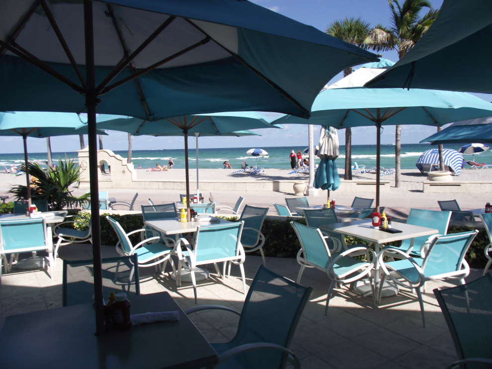
The view from the hotel’s bar/cafe.
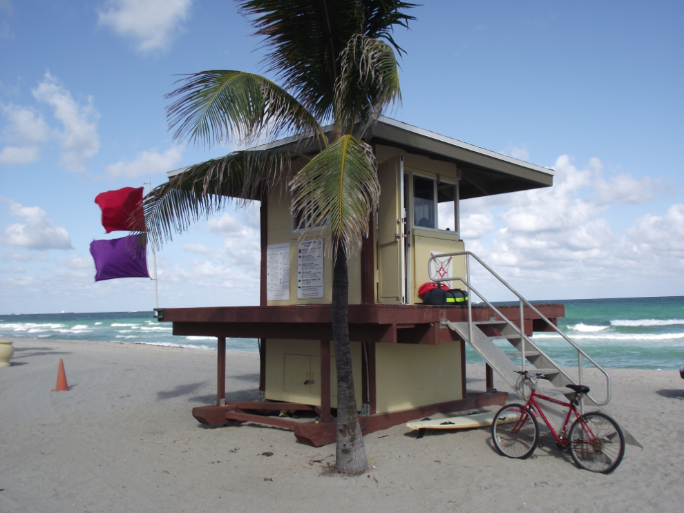
One of the many lifeguard stations along the beach, flying a red flag for high surf and a purple flag for dangerous marine life.
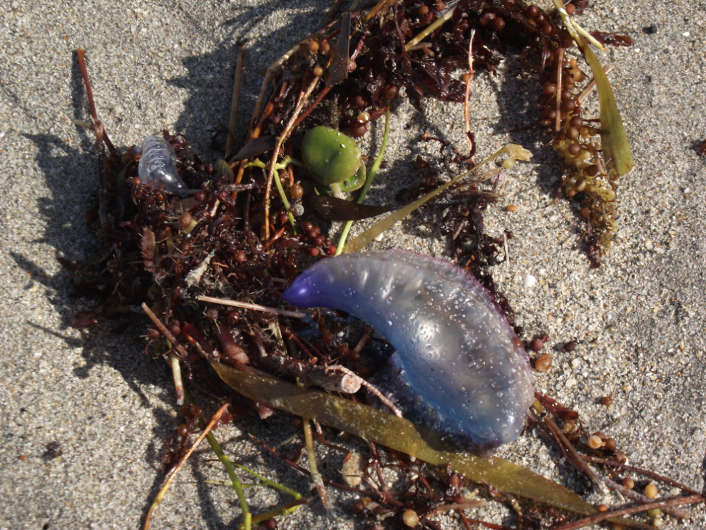
The dangerous marine life is the parents of this washed-up jellyfish – when the ocean cools off they come close to the beach.
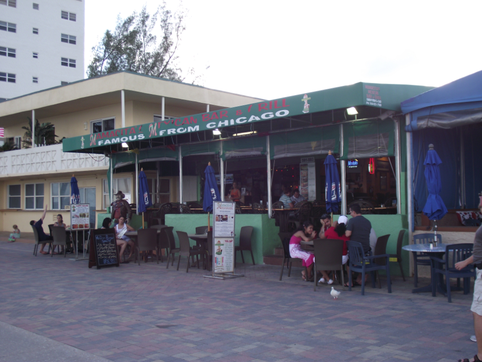
Last night we walked for miles along the famous Broadwalk (that’s not a typo), and had snackies and beers at a couple of restaurants. The first snack was chicken nachos, at Mamacita’s.
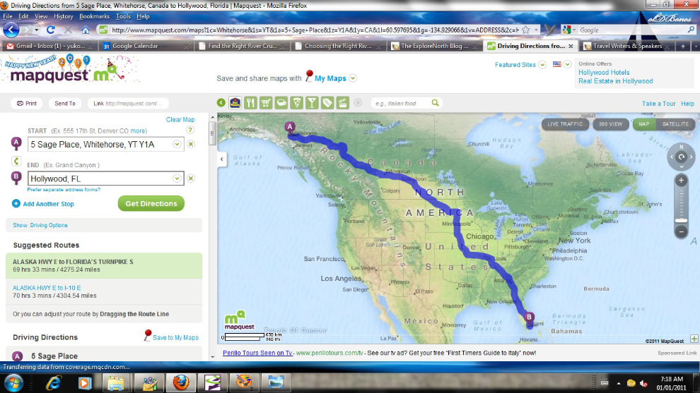
We spent over 9 hours in the air over 2 days to get from the Yukon to Florida. As much as I’d love to see more of much of the country we passed over, the map below shows what MapQuest thinks of the trip by road. It’s 4,275 miles and would take 69 hours and 33 minutes of behind-the-wheel time – 10 days each way, figuring on a few stops each day for meals and attractions.
We’re on board the ship now but it’s been a busy afternoon so I’ll tell you about that tommorrow. We sail in 40 minutes!! 🙂