Flying from Phoenix to Whitehorse
On Friday, my long journey home from Arizona to the Yukon began with a 04:00 wakeup call, and a 04:30 shuttle to the airport with a particularly friendly driver.
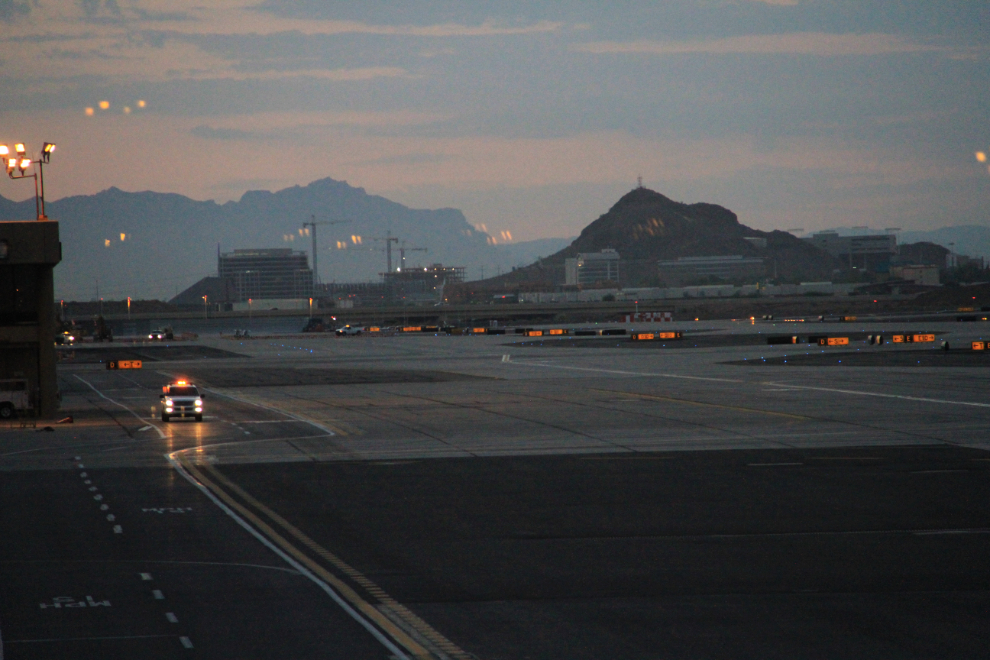
By 05:45 when I shot this photo from the departure lounge at PHX, I was ready to get going, hoping for some great photo ops, though knowing that forest fire smoke and/or clouds could eliminate most or even all of them.
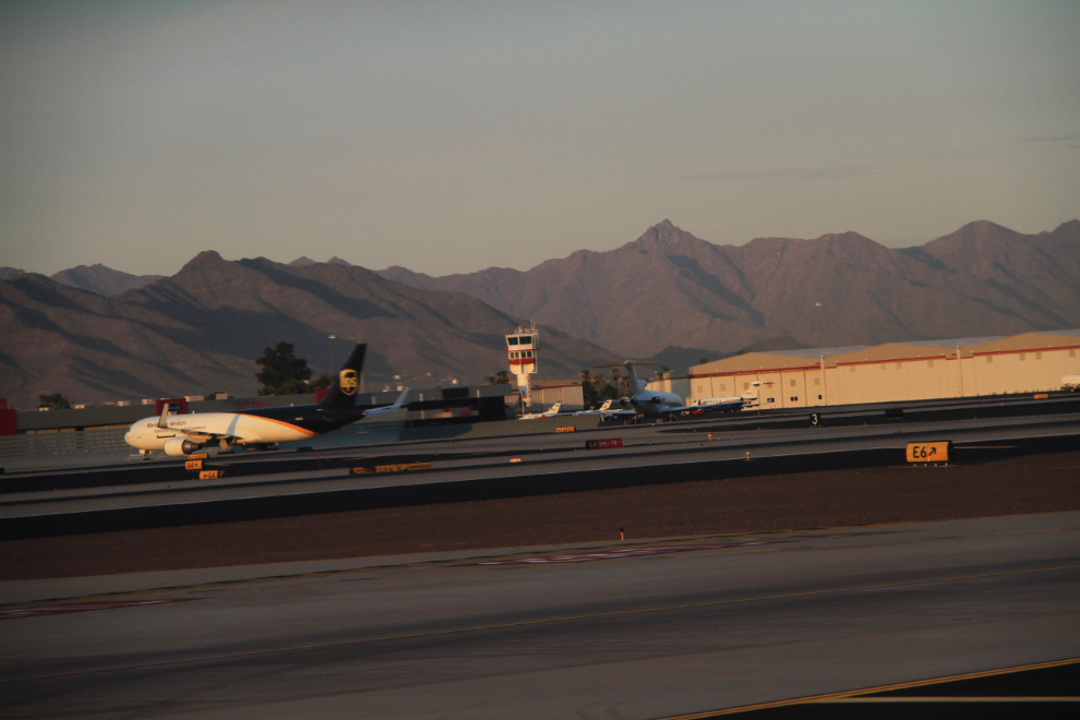
By our scheduled 06:00 departure time, the Alaska Airlines 737 was just about to lift off the runway into the beautiful dawn sky.
The earth soon started to vanish into the murk, and I went to sleep for a couple of hours…
…waking up as the smoke started to dissipate in eastern Washington, a few minutes before 08:00.
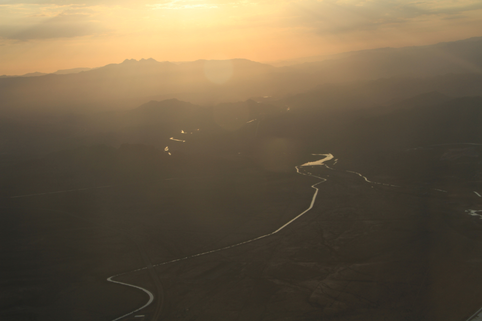
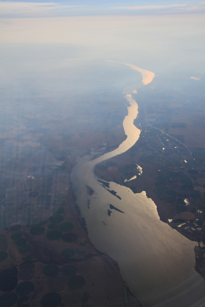
Looking up the Columbia River from Boardman.
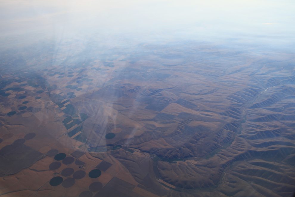
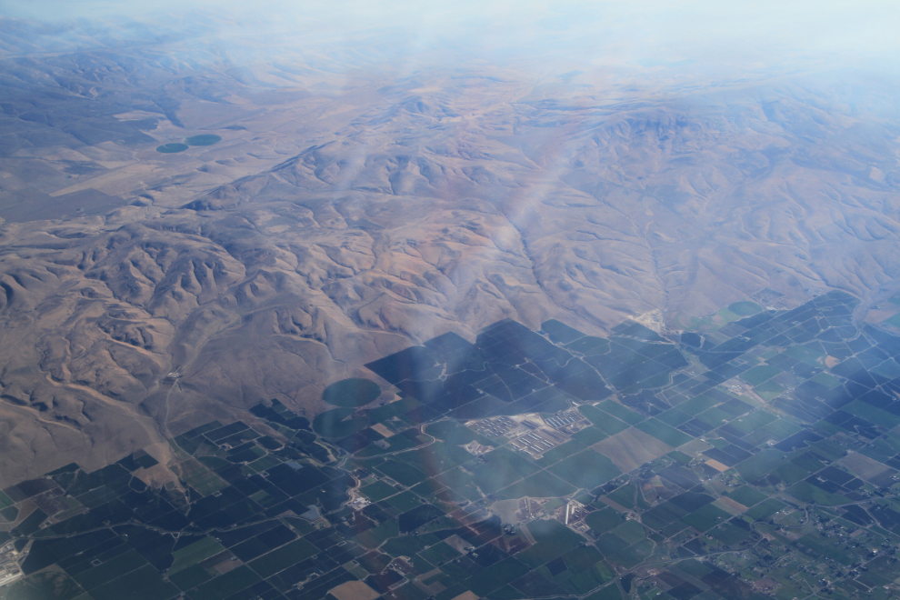
West of Yakima, the agricultural area meets the desert hills and then the pine forests.
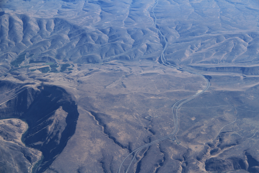
I thought that this location would really stand out on Google Earth but nope, I can’t find it – near Yakima somewhere.
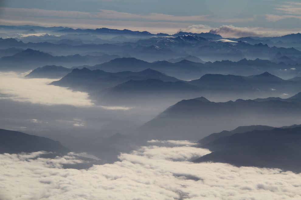
A much broader view taken just a minute after the photo above shows what has become a series of massive wildfires now called the Carlton Complex and Chiwaukum Creek fires, not long after they started.
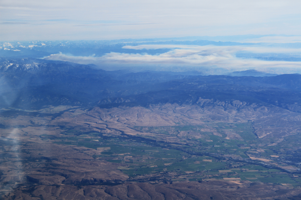
A look at the different worlds on the opposite sides of the Cascade Mountains – cool, foggy valleys on the west while the east side goes up in flames.
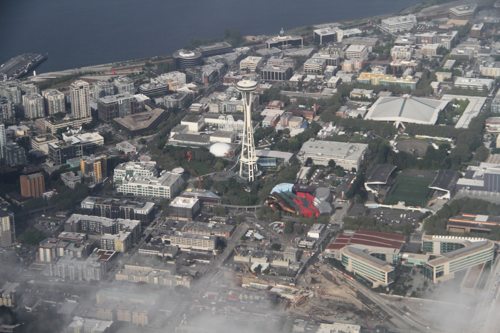
Looking through a hole in the clouds at Seattle Center. The Space Needle has always been special to me, as I won a trip to the 1962 World’s Fair, which it was built for, in a contest among Vancouver Province paperboys.
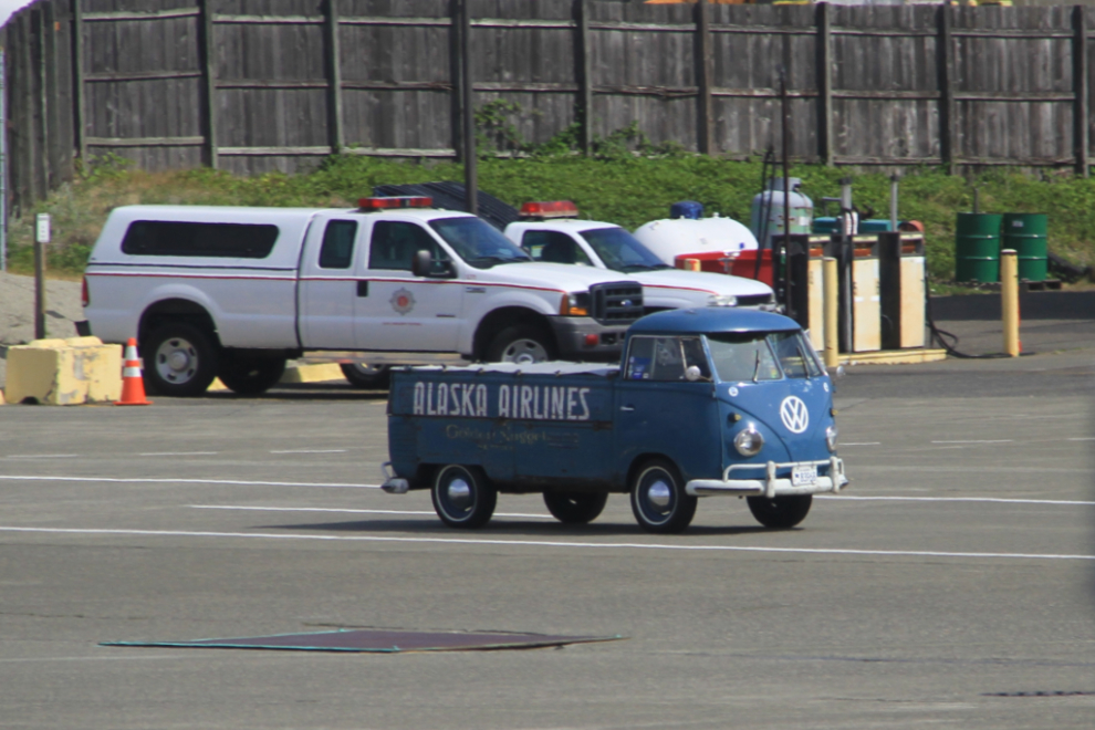
I had a layover of just over 3 hours in Seattle, which was okay. I added quite a few new planes to my collection, plus this 1960s Volkswagen pickup that was driving across the service area.
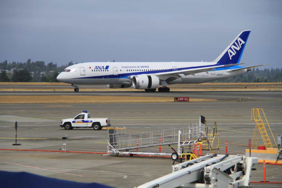
The best of the aircraft I added was this new Boeing 787-8 Dreamliner, JA827A, from ANA – All Nippon Airways.
It turned into a rather ugly morning at SEA, with lots of stressed out people because of weather delays (SFO was closed due to fog), mechanical problems and oversold flights. I only had a gate change, though, and at 11:40 was once again taxiing toward the active runway.
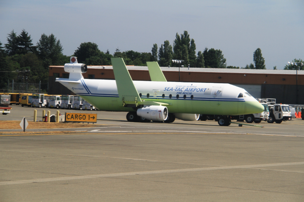
While taxiing, I saw this unique tool the Fire Rescue department at Sea-Tac uses – an aircraft mock-up designed for approach, entry and tactics training on the airfield.
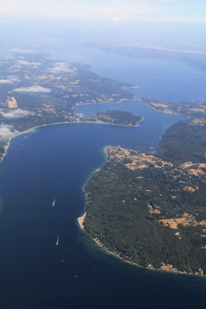
Over the San Juan Islands, with Vashon Island on the left and Maury Island on the right.
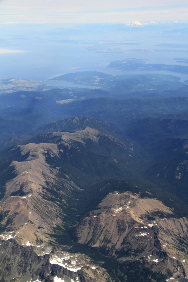
There are some impressive mountains on Washington’s Olympic Peninsula.
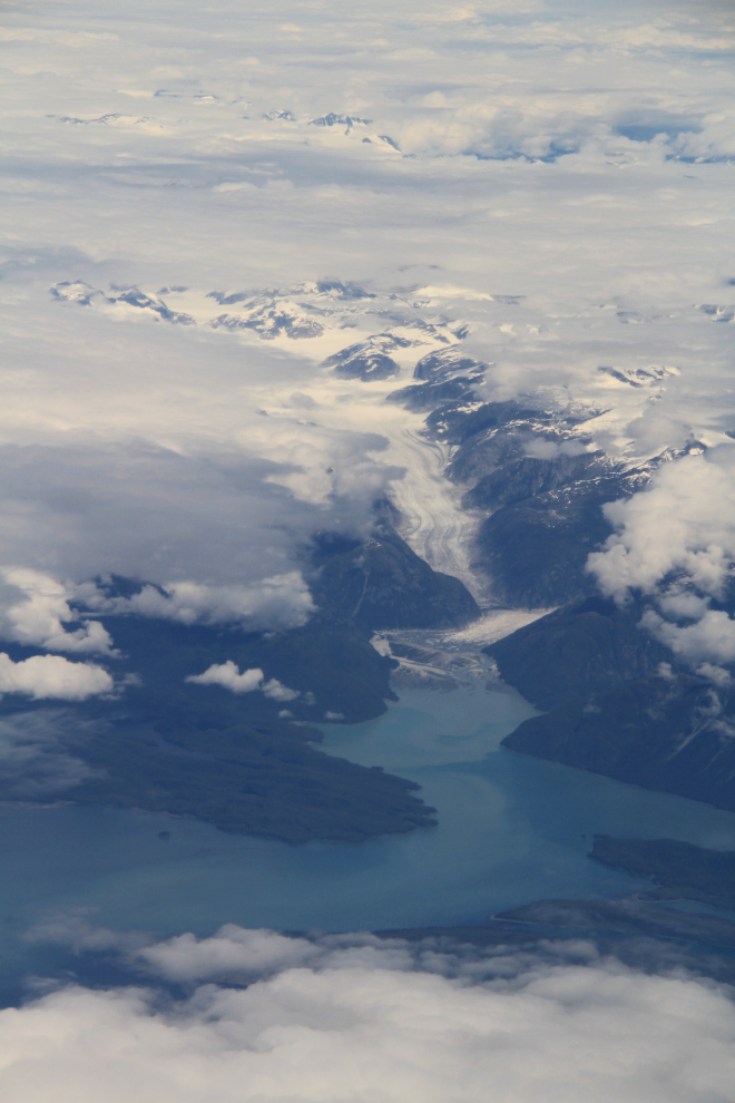
We climbed up over a cloud layer for a while, and the next place I could see through a break in the clouds was Wrangell, Alaska. Just north of Wrangell, the 21-mile-long LeConte Glacier flows into LeConte Bay.
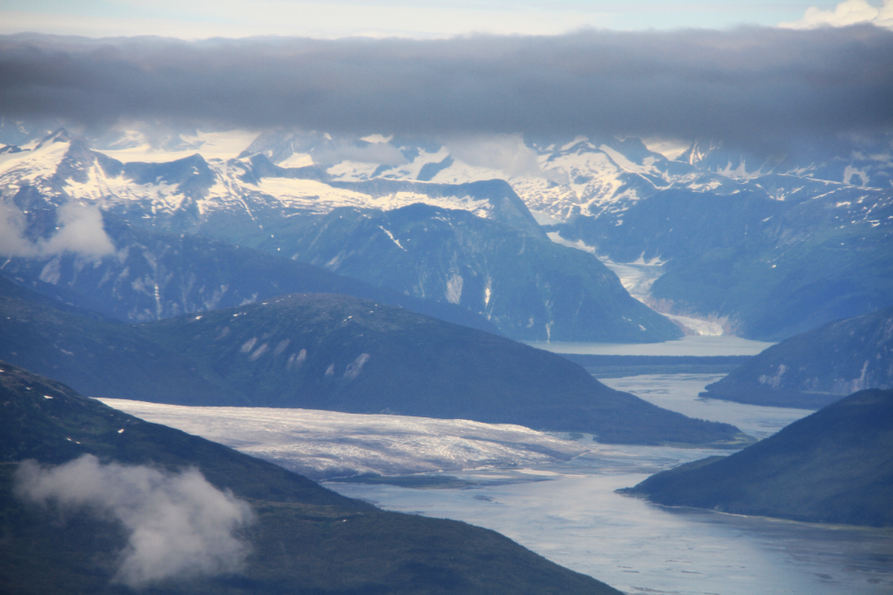
Nearing Juneau at 1:00 pm, this is Taku Arm, with the massive Taku Glacier on the left and the East Twin Glacier in the distance.
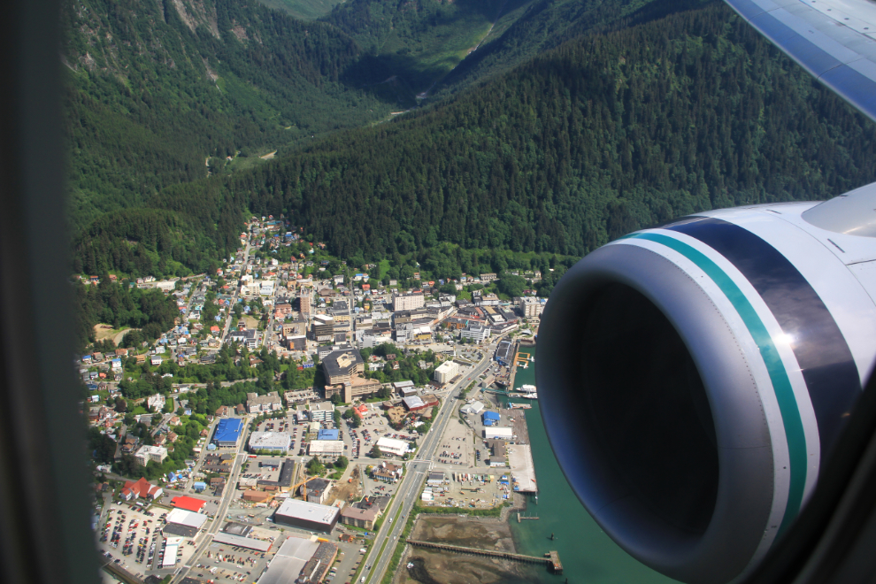
The captain announced that we were going to make a spectacular approach down Gastineau Channel, then rescinded that because of a medevac plane in our way, then said that the medevac had been expedited and we were back on for the Gastineau Channel approach. It was indeed impressive. Nicely played, Alaska Airlines!
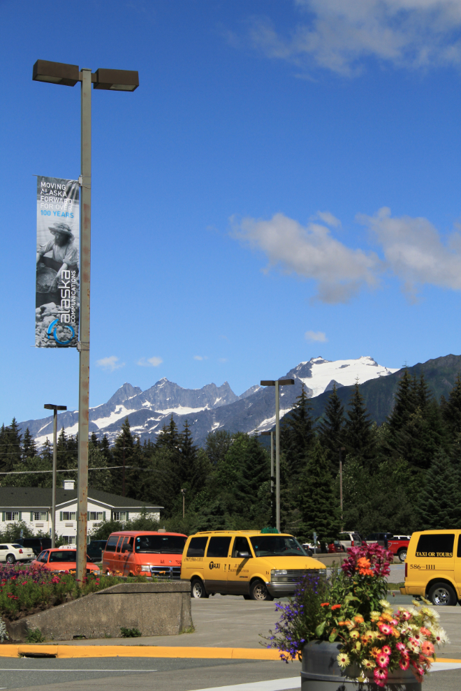
After a couple of days of desert heat, the air in Juneau was soooo refreshing!
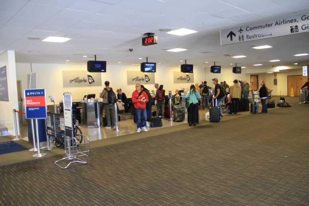
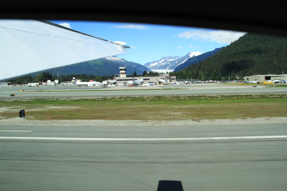
This was the busiest I’ve ever seen the Juneau airport.
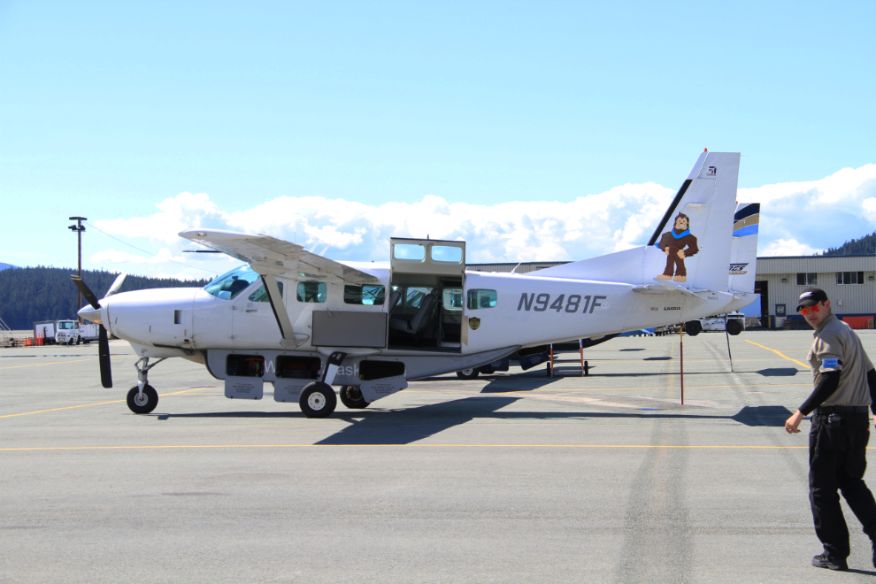
I was pleased to see that we’d been assigned a 10-passenger Cessna Cessna 208 Caravan, N9481F, for the next leg, with Wings of Alaska to Skagway.
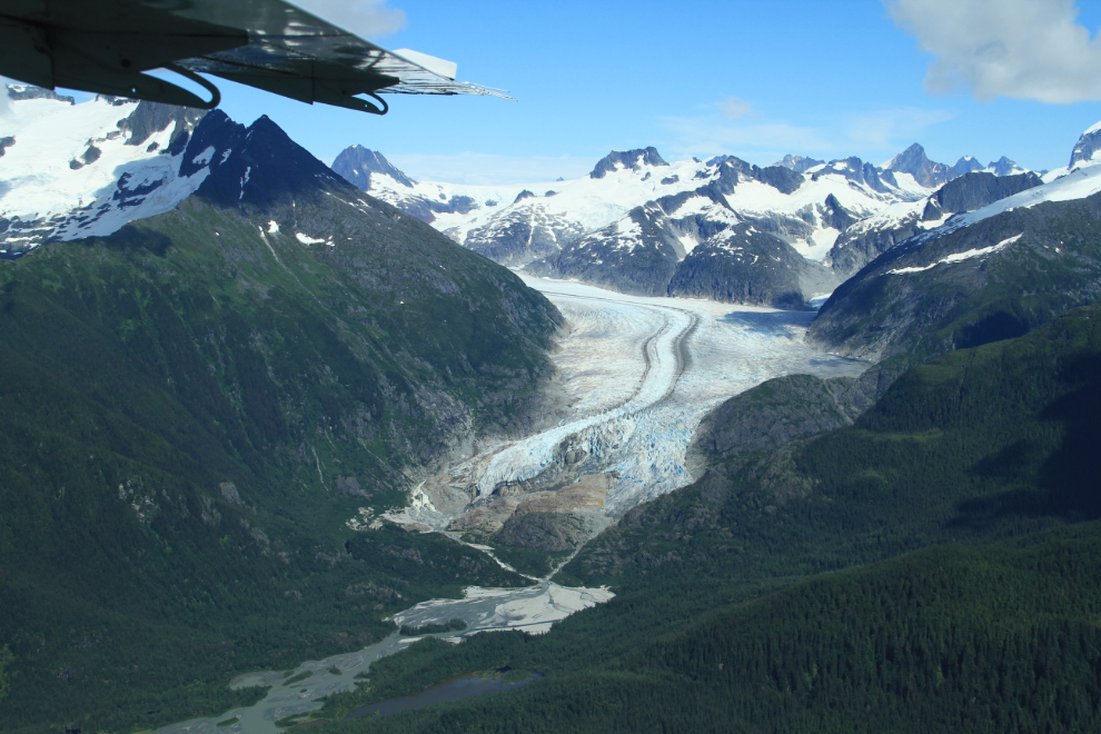
We took off at our scheduled 2:30, and 5 minutes later were looking down on the Herbert Glacier.
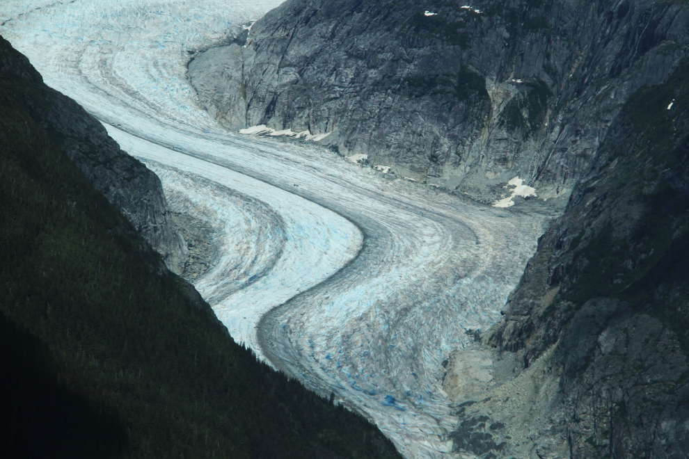
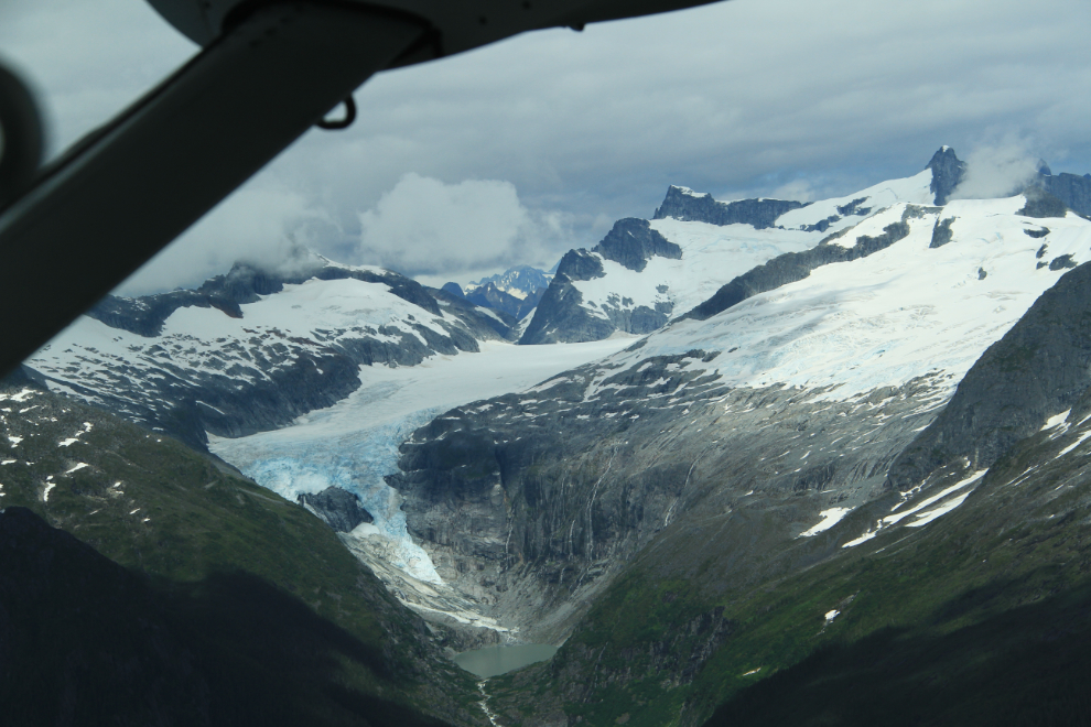
A close look at the Eagle Glacier.
I take a lot of photos on these flights, but no photo can really show you what this country is like – it’s something you have to experience. And year after year, I want to experience it over and over again 🙂
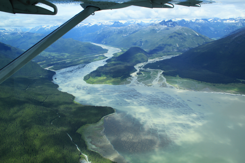
Berners Bay was in the news a lot a few years ago because of protests against a new gold mine, but it’s a name not heard much anymore.
The Kensington Mine that caused all the fuss started production in the summer of 2010, currently has 318 employees and in 2013 produced 114,821 ounces of gold. The gold belt that the mine is on has been mined off and on in small ways for almost 120 years now.
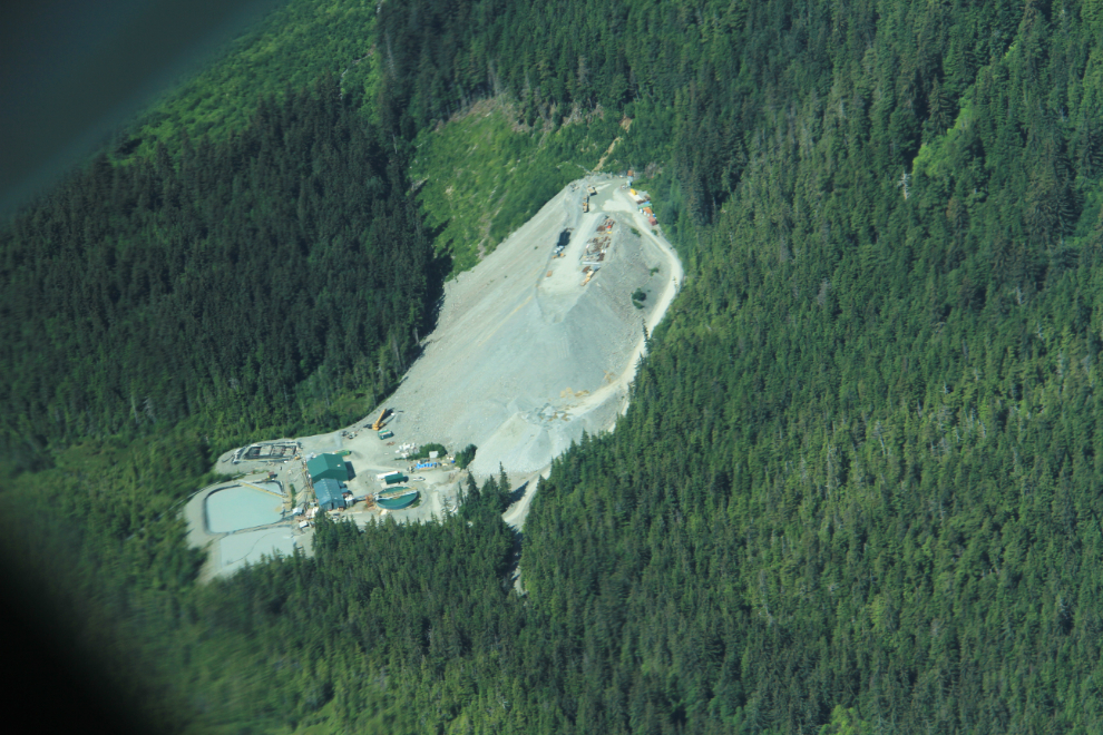
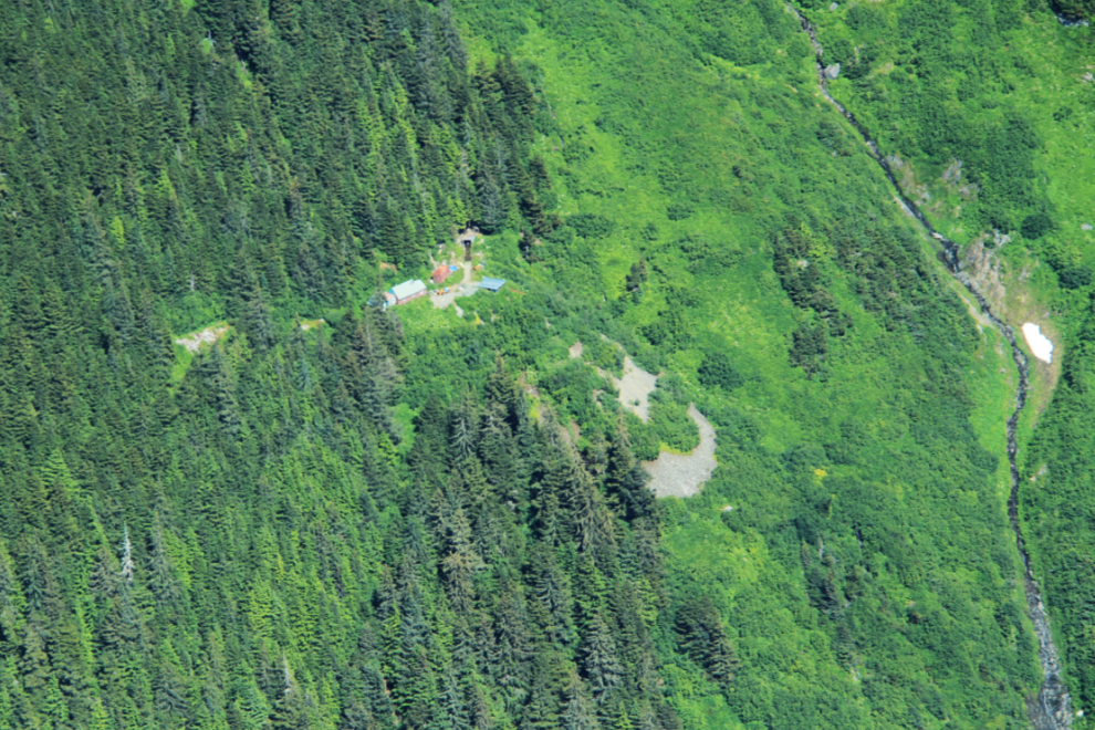
I was surprised to see this small, long-abandoned mine high above and to the south of the Kensington – there’s a helicopter pad, a loader, and an adit going into the mountain has water flowing out of it.
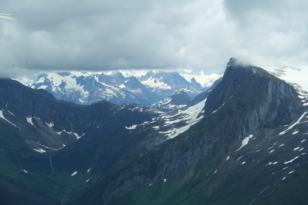
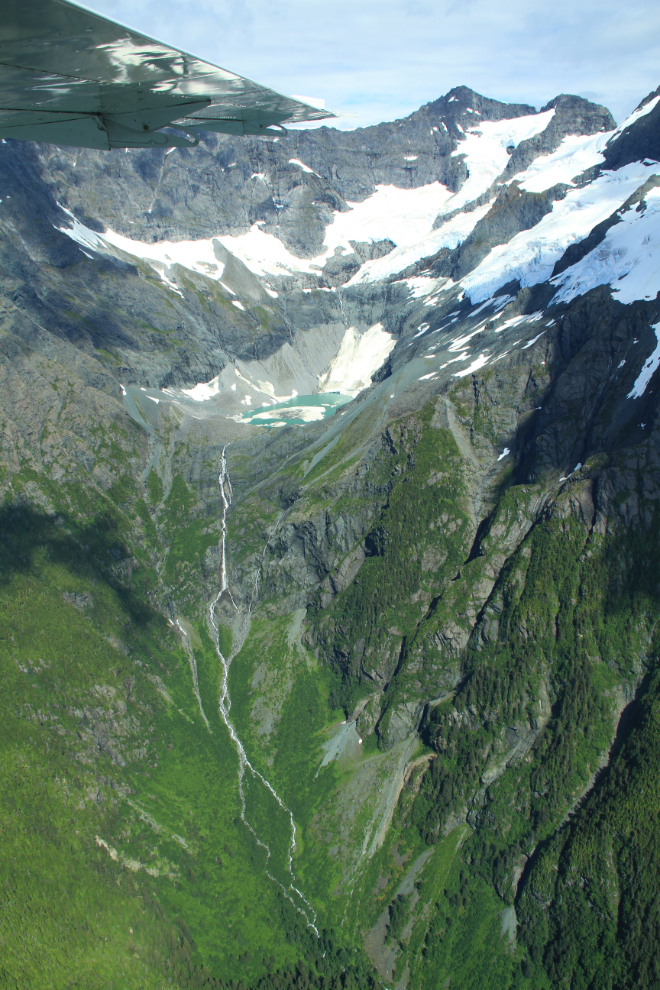
More ice, more granite, more waterfalls 🙂
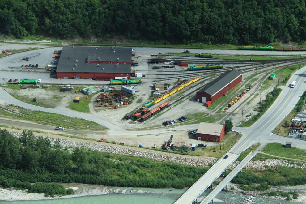
All too soon, at 3:05, we were looking down on the White Pass & Yukon Route railway’s Shops at Skagway as we made the final tight turn to land.
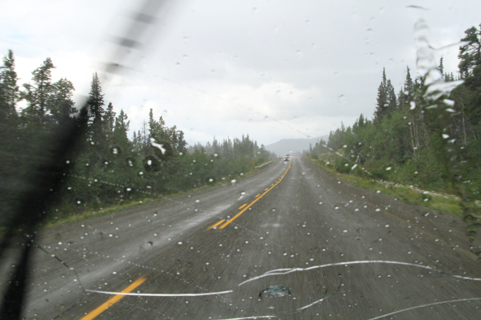
As I drove north of Carcross, the weather changed dramatically. Nice welcome home – thanks loads, Mother Nature!
I got home about 6:00 pm, with a lot of catching up to do before my son and his family arrive for a visit in a few days, and a few days after they leave, I’ll be flying back to Phoenix again 🙂