Exploring Spook Creek in Whitehorse, Yukon
This little exploration was prompted by a couple of videos that were posted on Facebook recently, showing a beaver crossing 4 lanes of traffic on Two Mile Hill in Whitehorse. My response was something to the effect of “where is he going? There’s no water over there”. Somebody responded that there is a creek, so I had to go for a look, having driven by it thousands of times. What I found was a surprise. Although Spook Creek is little more than a ditch when it’s flow in controlled through the city, a trail along its forested upper reaches is quite lovely.
This aerial view from Google Maps is a good way to start our tour from the mouth of Spook Creek to its headwaters, a total distance of only about 1.4 kilometers (0.9 miles). The headwaters are on a gully that runs across the aircraft approach to the Whitehorse airport. Click here to open an interactive version of the map in a new window.
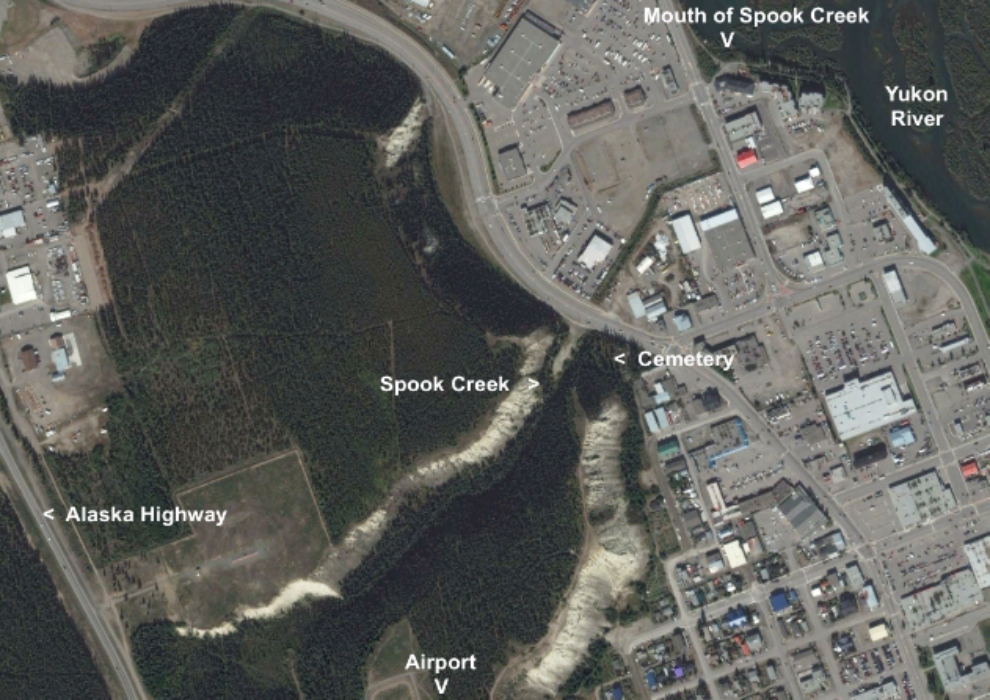
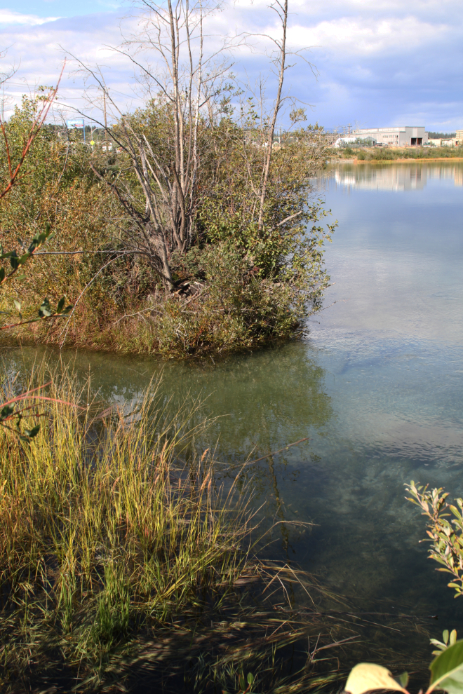
Let’s start at the mouth of Spook Creek (on the left in the next photo) where it empties into the Yukon River at the upper end of Clara Monarch Slough. The slough was named after the steamboat Clara Monarch, whose hull was abandoned there in February 1907. The slough is one of the best places in Whitehorse to watch birds (especially nesting gulls, and hunting bald eagles) and beaver. The large building in the distance is in the Marwell industrial area, of the site of the CANOL oil refinery built during World War II.
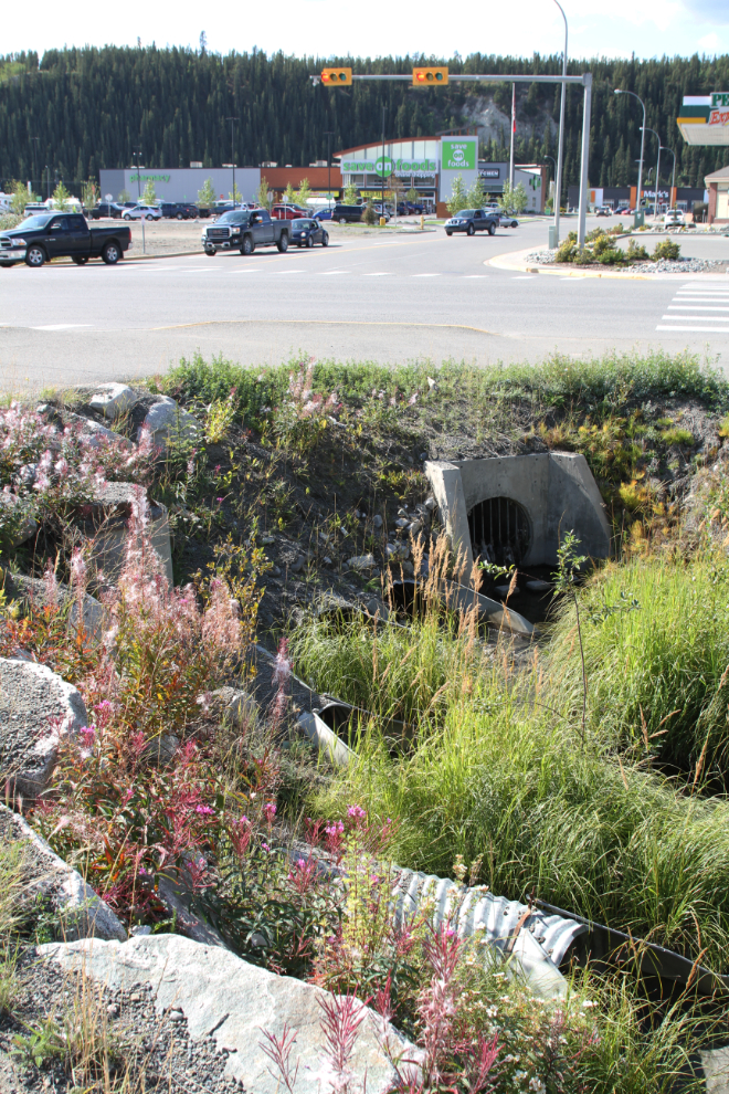
Going upstream, Spook Creek now enters a culvert to go under the former White Pass & Yukon Route railway, now part of the Trans Canada Trail (recently -re-named The Great Trail – a really poor decision, in my opinion). Then the creek goes into the long culvert seen in the next photo, under Quartz Road.
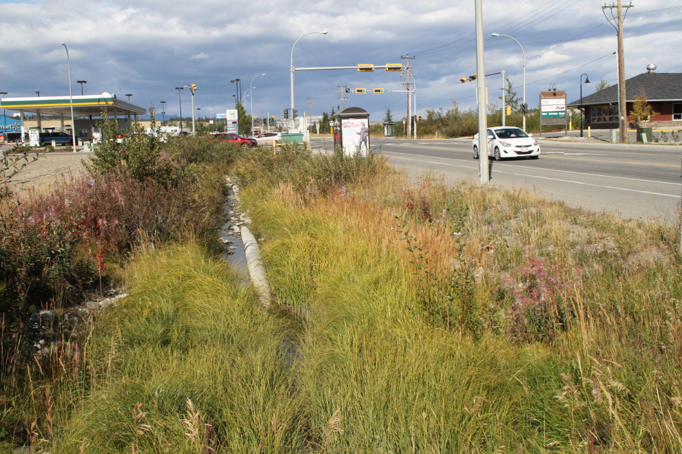
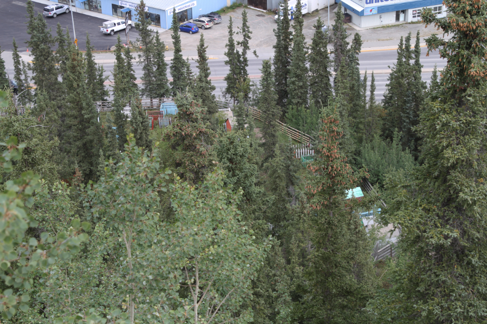
Spook Creek now really does become a ditch along Quartz Road, along a still-undeveloped piece of property beside Save-On-Foods. The next two photos look downstream along that section.
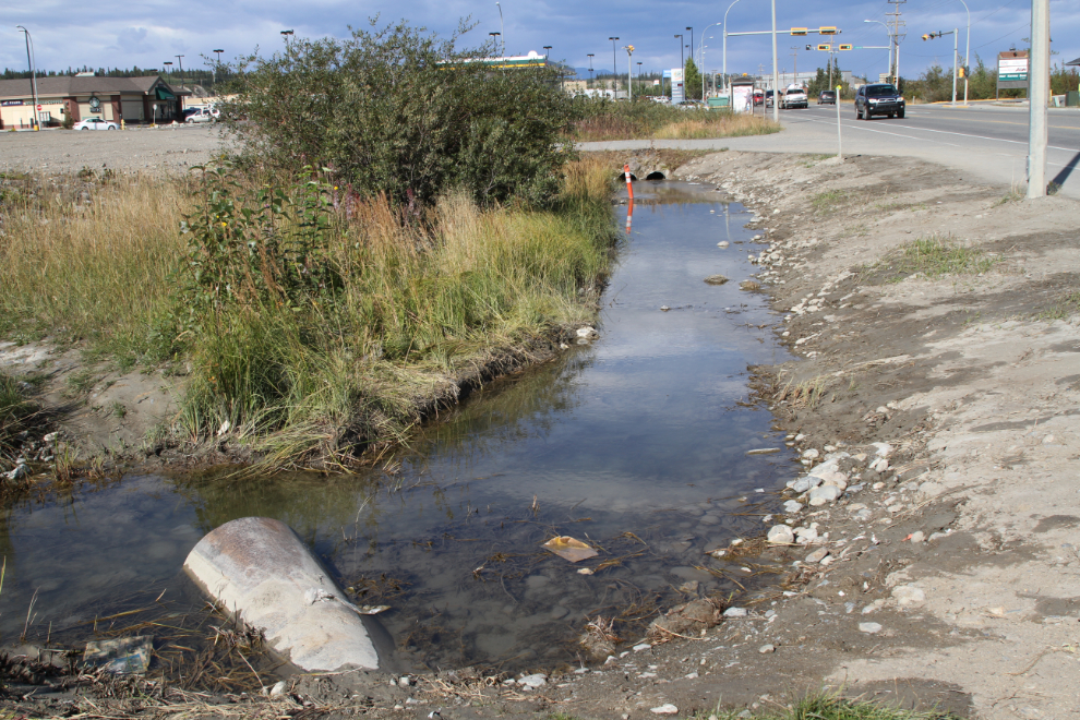
Now we come to the spot that captured my interest in seeing more of Spook Creek – a beaver dam recently constructed between Save-On-Foods and Home Hardware.
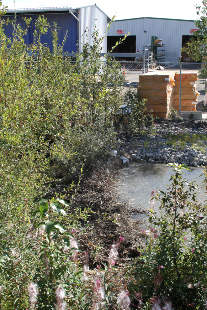
In the next photo, I’ve crossed over the 4 lanes of traffic that the beaver has been crossing, and am looking downstream again. Here, it’s not really recognizable as a creek anymore. Peter Long, who runs the amazing Whitehorse Walks Web site, is promoting development of that section of the creek as “a Spook Creek trail/parkette with a paved wheelchair-accessible trail, complete with flowers, trees, benches, lights. It would formally link the Lower Escarpment Trail with the Waterfront Trail at Spook Creek Station.” I think it’s a great idea.
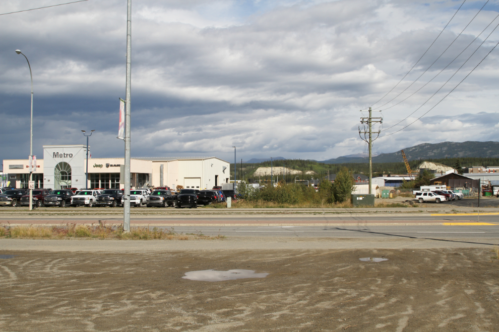
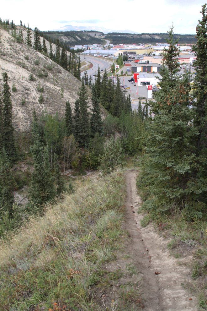
Above the Two Mile Hill road, the City has done some work to mitigate the silt that comes down the creek from fairly frequent mudslides in the gorge. Along the section of the creek, a beaver path is well-worn, but I never did see what he’s up to.
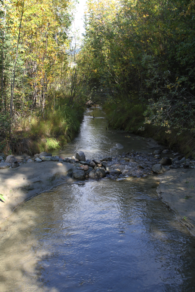
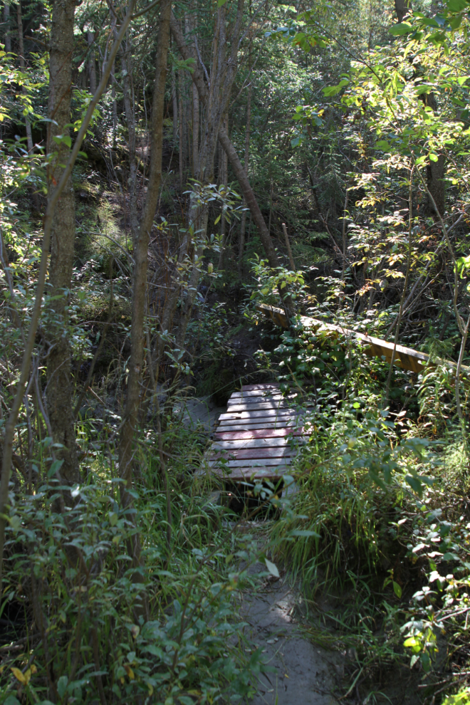
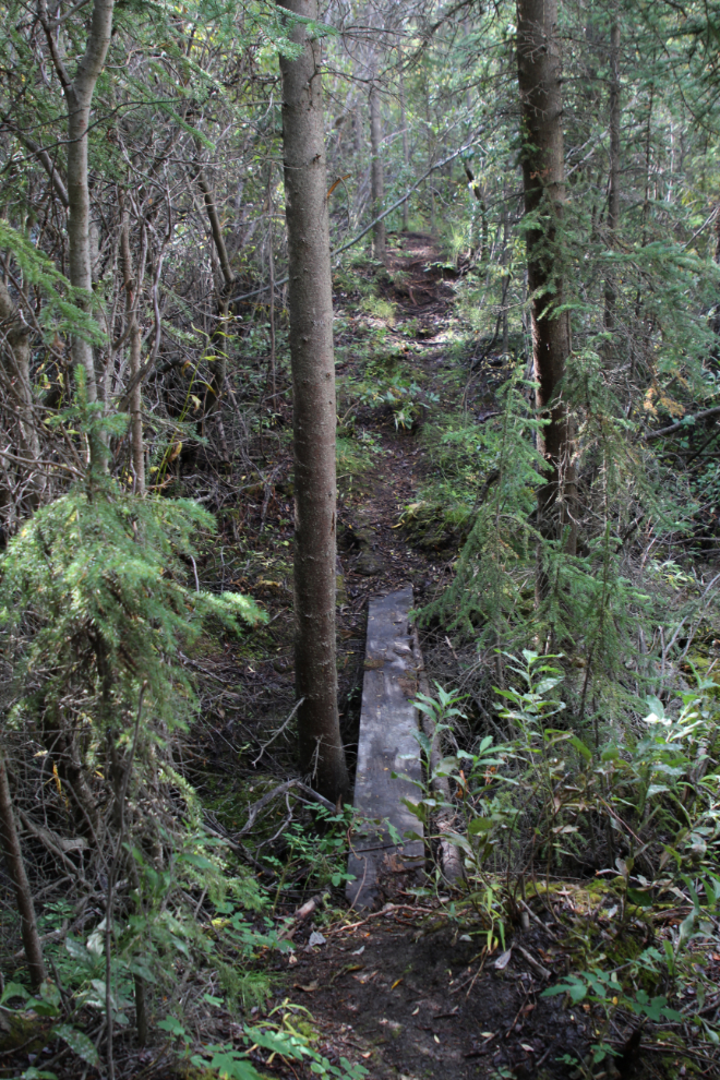
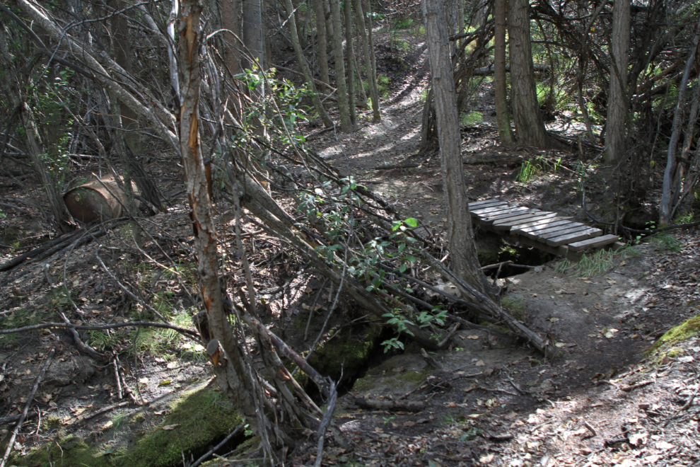
From there, I was very surprised to find that a trail has been built by persons unknown [edit: a few days after posting this, I got an email from the builder, so I now know]. It crosses the creek several times, and each crossing has a bridge.
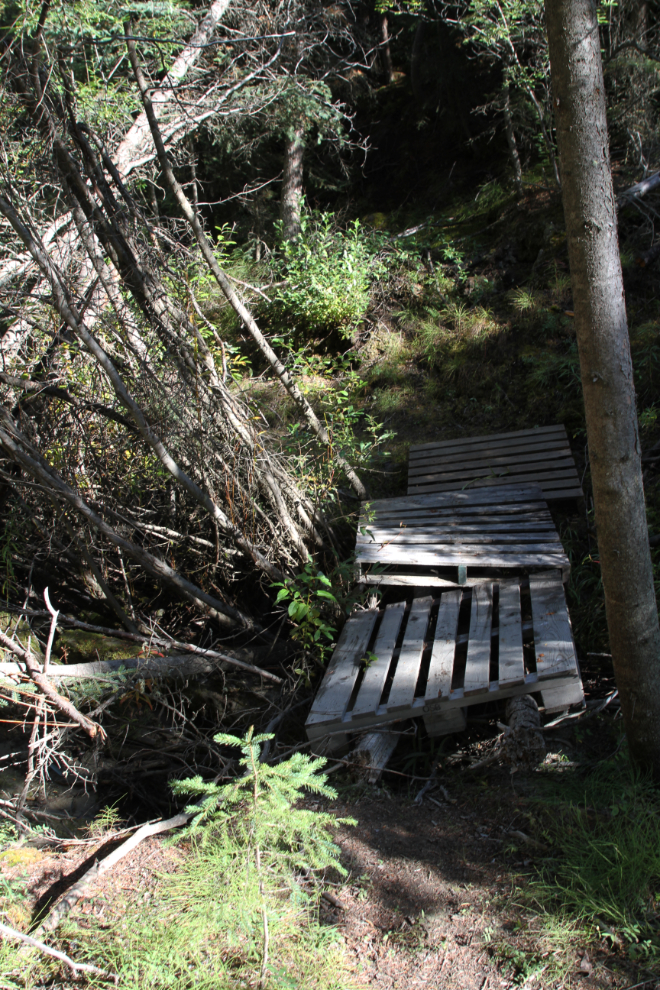
The next photo shows the only crossing that doesn’t have a proper bridge. Those pallets are heavy, though – a great deal of work has gone into the trail.
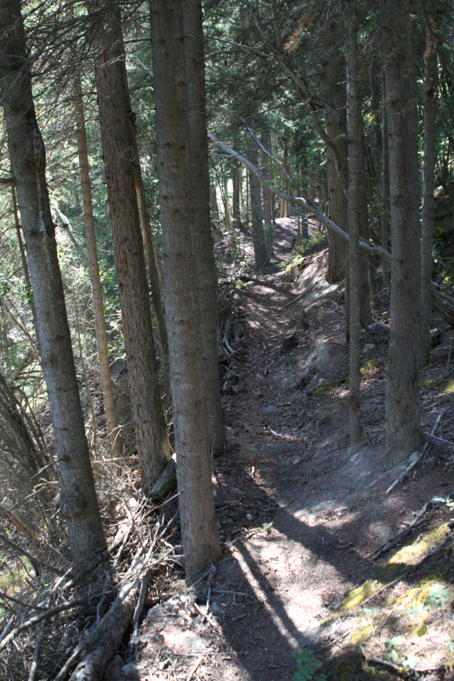
Many sections of the trail have been cut into the sidehill, and many trees that have fallen across the route have been cut.
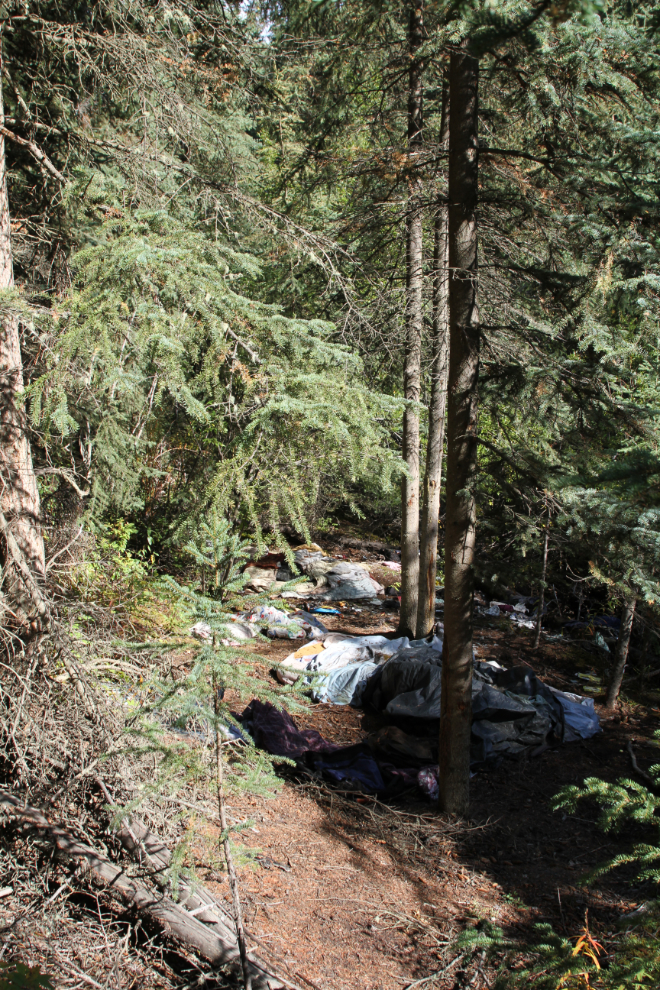
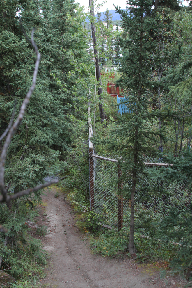
The next photo shows the only sad part of the trail – a squatter’s camp where several people have been living until recently. It will take considerable effort to clean this mess up.
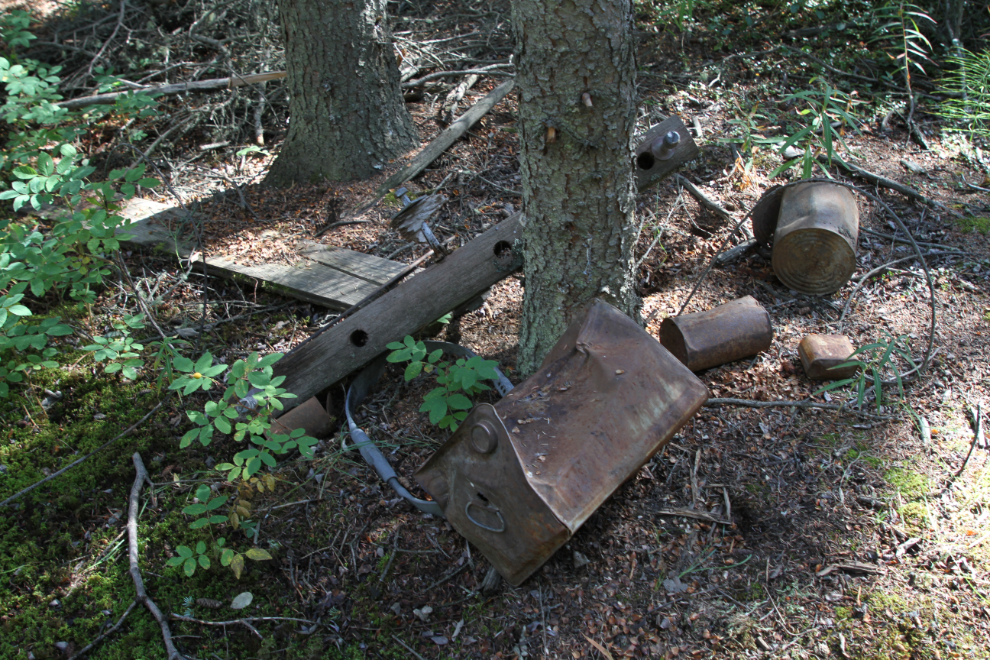
There are some other items that may properly be described as artifacts, probably dating to World War II. There are two possible reasons for the name of the creek – one is derogatory, coming from an encampment of Black soldiers of the U.S. Army located somewhere along the lower section of the creek. The other possible source of the name “Spook” is a First Nations cemetery that I’ll show you at the end of this post. No credible information has yet been found to verify the source of the name.
Continuing up Spook Creek, which is less than a foot wide at this point. The banks aren’t well defined, or a bridge wouldn’t even be necessary.
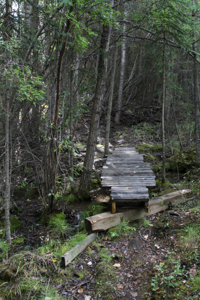
The next photo shows one of the largest bridges on the trail. At this point, the lumber and nails/screws have been carried a long way from the nearest point a pickup truck can get to.
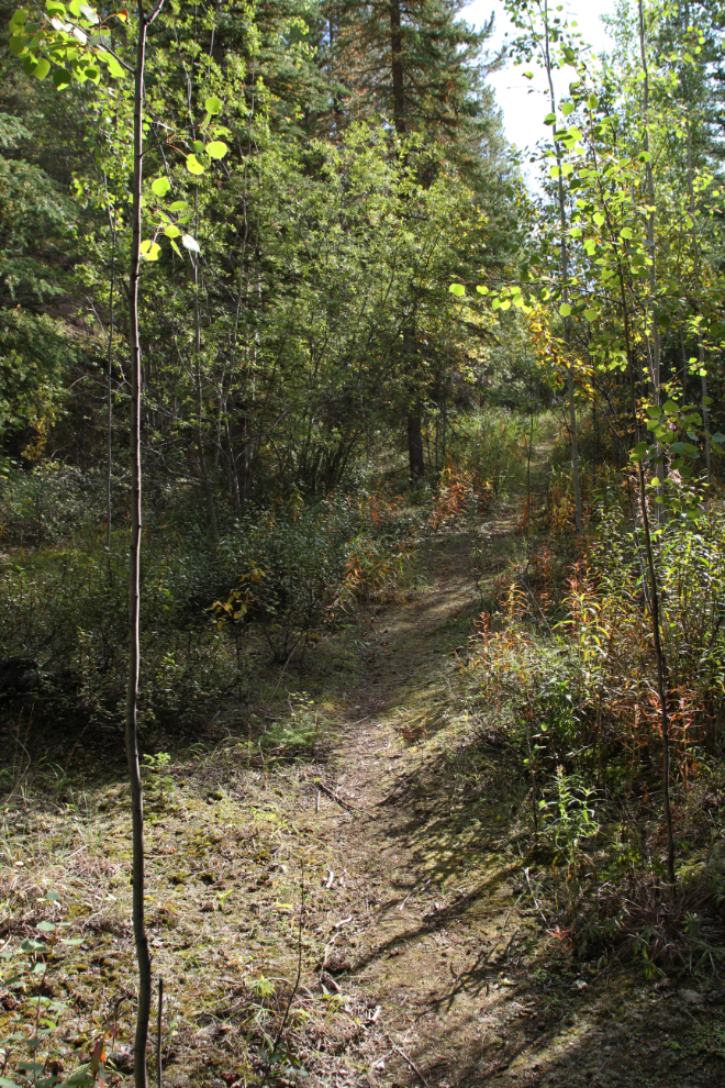
Continuing up the creek.
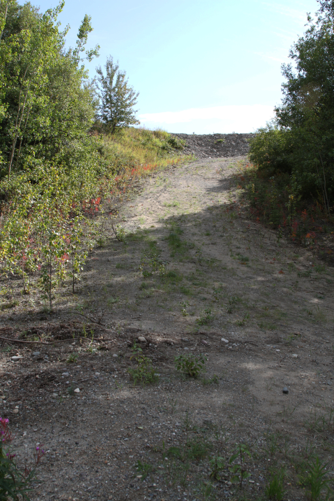
Suddenly, the forest opens up as the airport is neared.
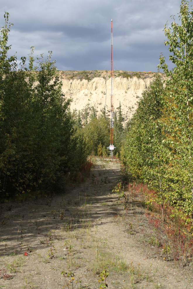
Reaching a road that runs from the airport level down some aviation equipment, you can either go up to the trail system that runs around the airport…
…or down to a landing-light tower. To the left of that tower is a marshy area where a friend of mine says 6 varieties of orchids grow. There are also signs of it being a dumping area for the military decades ago.
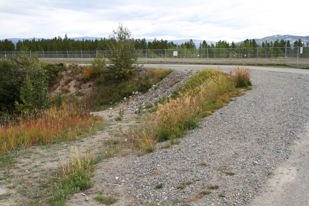
That takes us up to the airport trails, which is a fairly extensive network. The primary access to those trails from downtown has been the Black Street Stairs for many years.
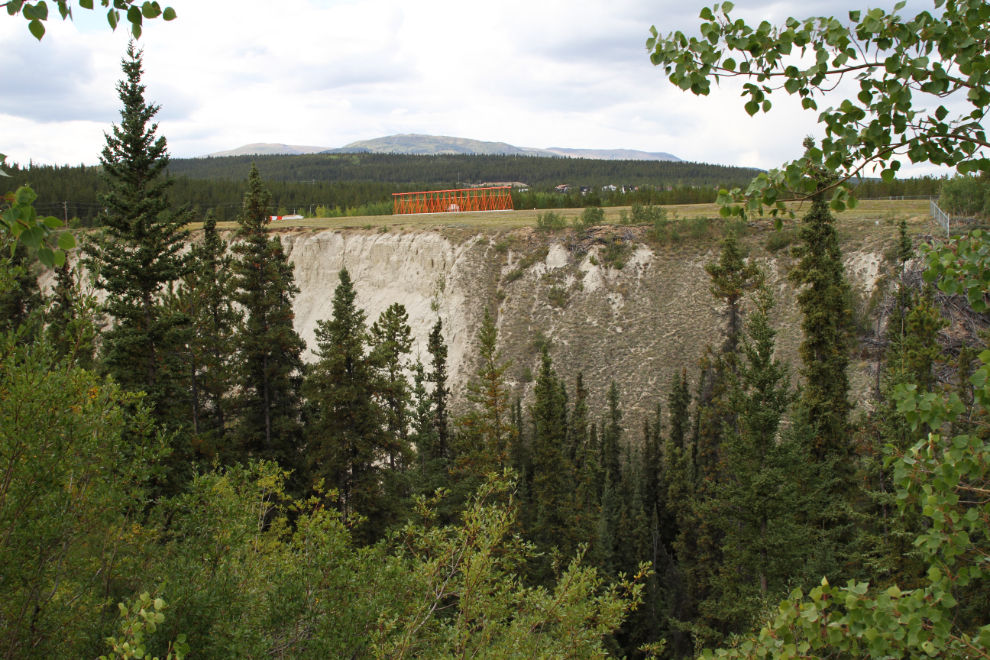
The furthest-north of the airport trails runs along the top of the Spook Creek gully. The next photo looks across the gully to the landing approach lights. On July 18, 1967, a USAF Martin EB-57E Canberra crashed there while on approach, killing both crew members.
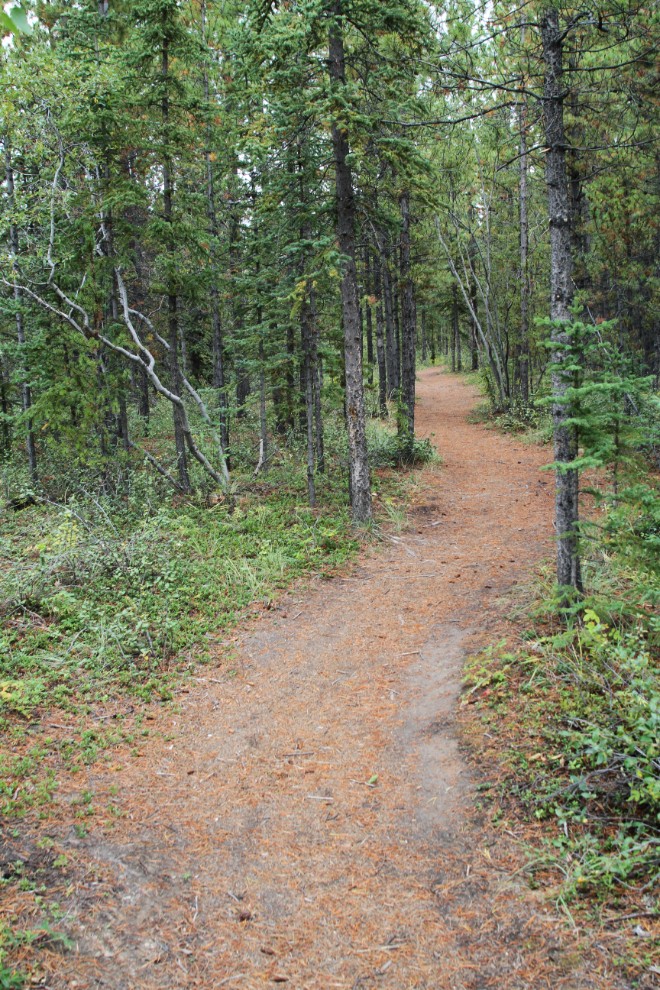
The trail through the forest along the top of the gully is very nice, but is seldom used.
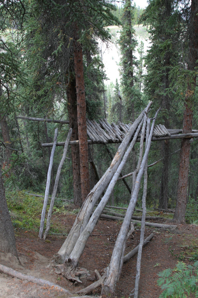
It’s nice to see that tree-fort building still goes on – most of my friends did that when we were kids.
As the trail starts to drop down a ridge along the clay cliffs, the largest First Nations cemetery in Whitehorse can be seen below.
The trail down the ridge is very steep, and I wouldn’t do it in wet or icy conditions – this silt gets extremely slippery.
The cemetery is fenced off and visitors aren’t welcome. About 100 meters past this point, I was back at my car which I had parked in a large parking area along the Two Mile Hill road.
It’s nice that Whitehorse continues to surprise me. This was a particularly fine discovery, and Spook Creek will be on my list of walks regularly now.