Exploring Santa Barbara and the Santa Ynez Valley
Dad and I have 2 part days and 4 full days in the Santa Barbara area – just enough to have a good visit and see some of what the region has to offer.
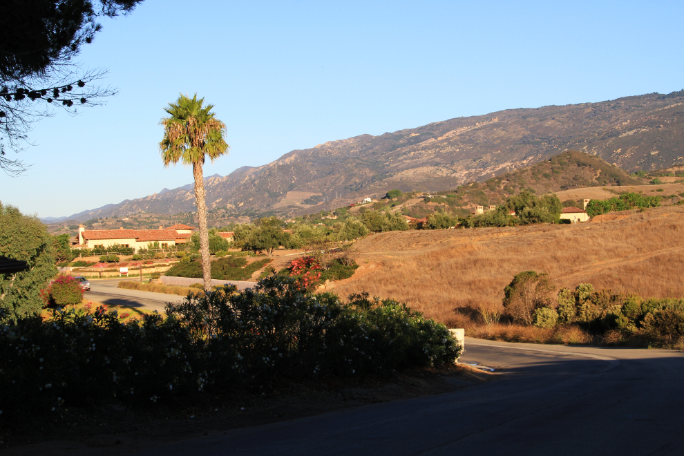
My first outing on Tuesday morning was just a walk around the neighbourhood to get my bearings. Looking at maps (both print and online) before and after the walk made it very useful. This spot is about half a mile down the hill.
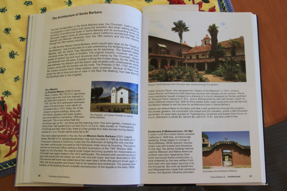
My guidebook for this trip is Hometown Santa Barbara. While it was published in 2009, the layout makes it very easy to use, and it makes me wish that I had a year to explore the area!
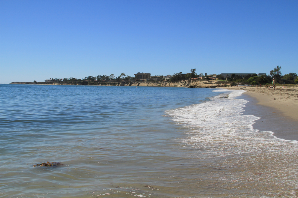
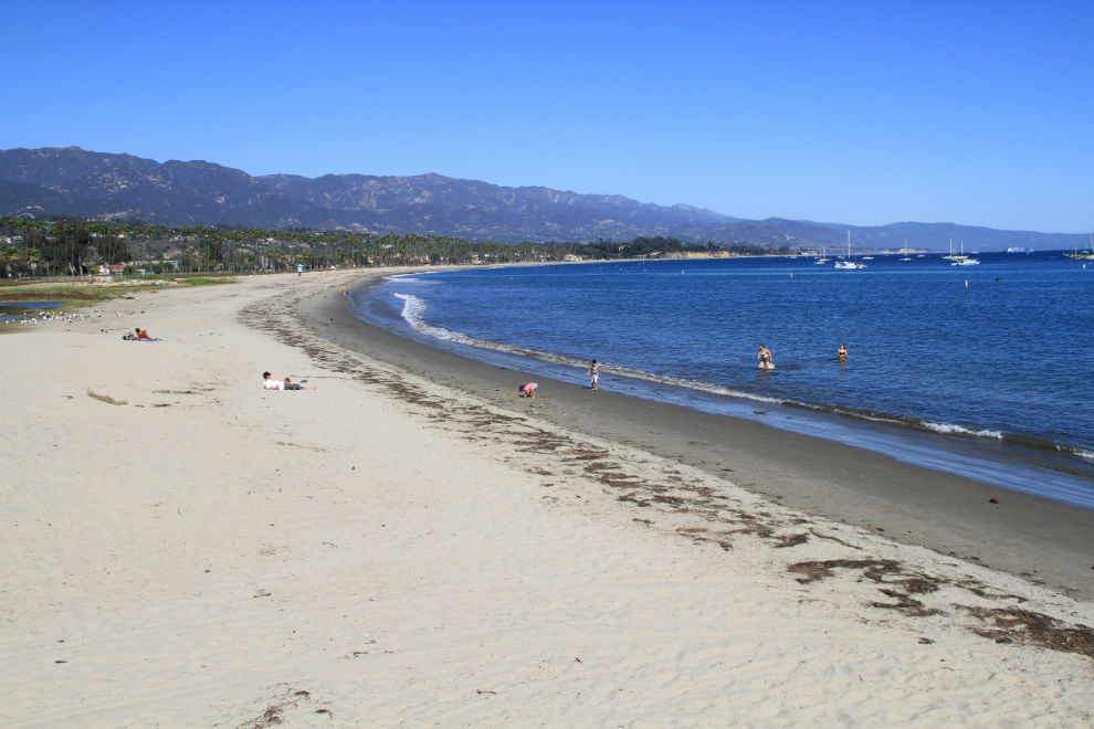
I dropped my sister off at her office and then Dad and I went down to Goleta Beach County Park to just soak up some sun and scenery. The land above the beach in the distance is the campus of the University of California Santa Barbara.
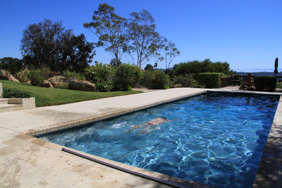
Dad tired out quickly so we went back to the house and while he had a nap, I enjoyed the property.
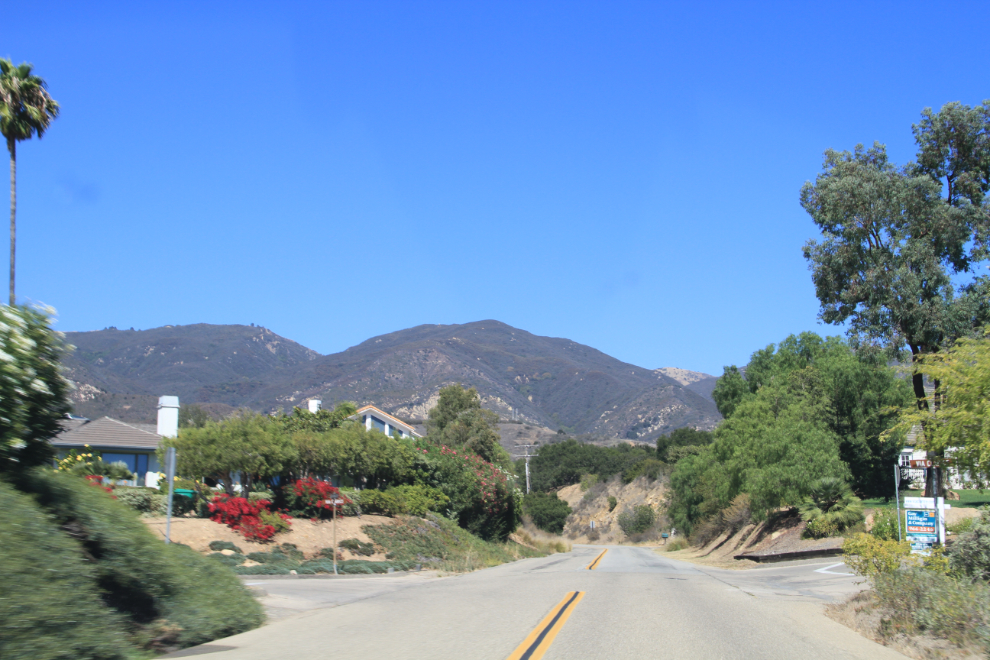
I decided mid-afternoon to drive into Santa Barbara to have a look around. This is the road from the house up to Highway 154, which offers the quickest access to town.
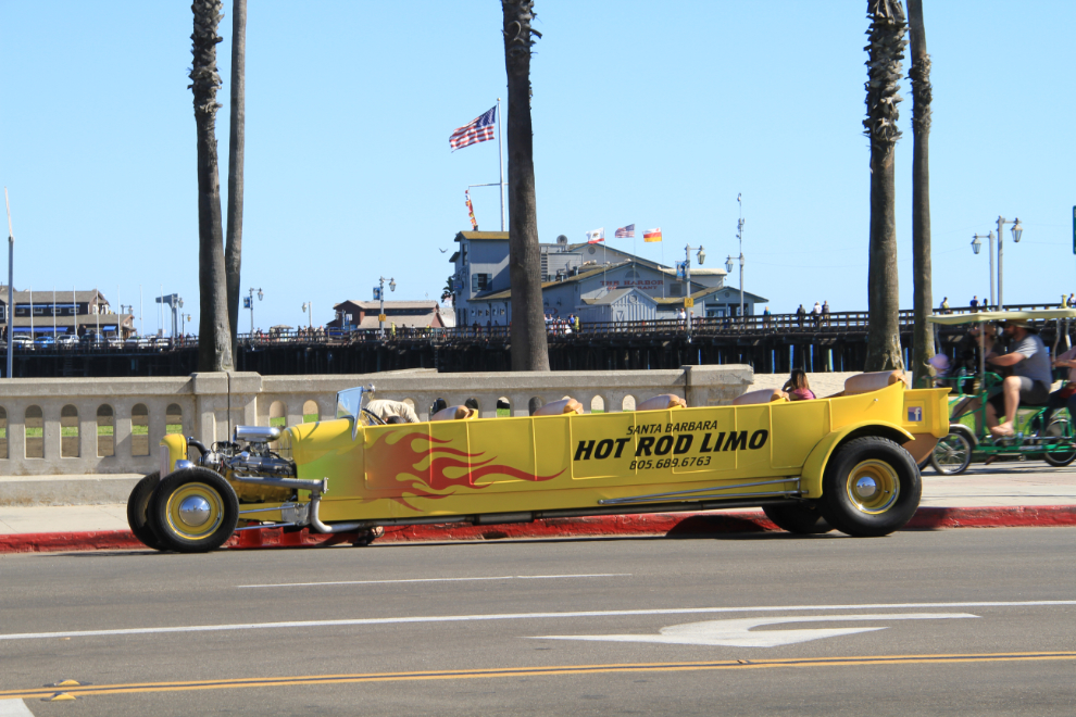
There are a lot of great attractions in Santa Barbara, but the coolest thing I’ve seen yet is certainly this Hot Rod Limousine 🙂
The centre of the tourist action is probably Stearns Wharf, which runs out to sea from State Street, over West Beach.
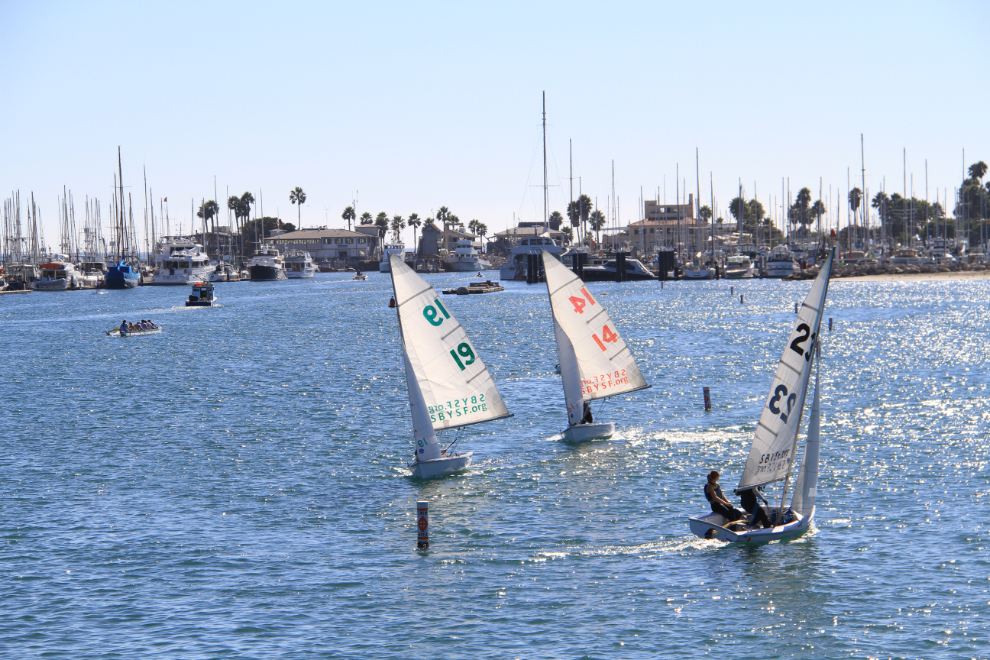
There was a kid’s sailboat race going on in the harbor – good fun to watch from the wharf.
There are a few shops out at the end of the wharf, and although I walked out, you can drive out and there’s a fair bit of parking for only $2.50 per hour.
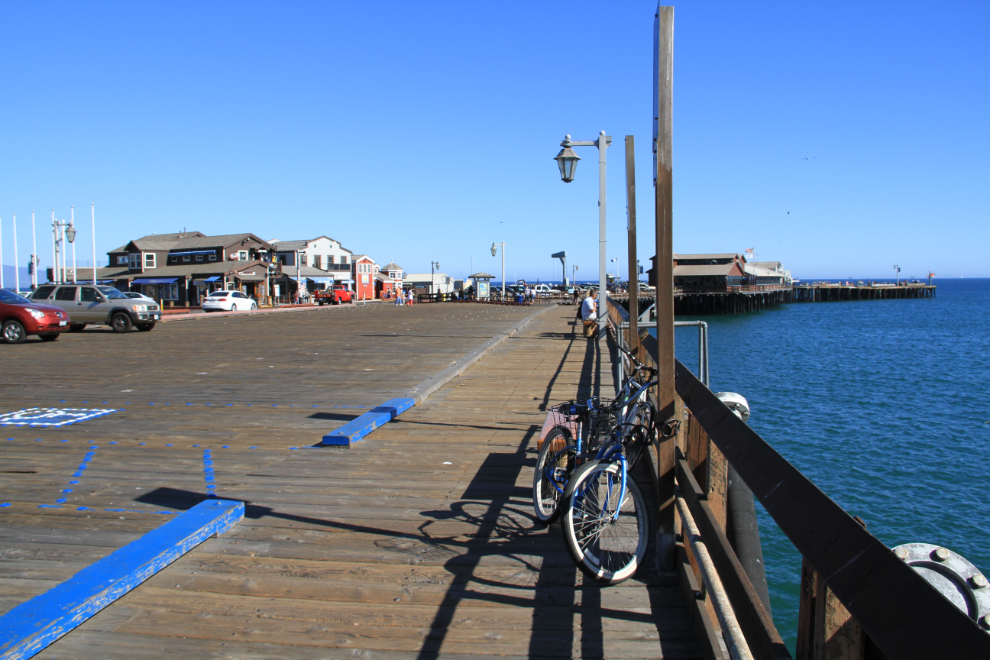
There’s a lot more going on than I’ll tell you about – we’ll move on to Wednesday morning now.
Close to the house is a wonderful walking trail that goes along San Antonio Creek in Tucker’s Grove County Park.
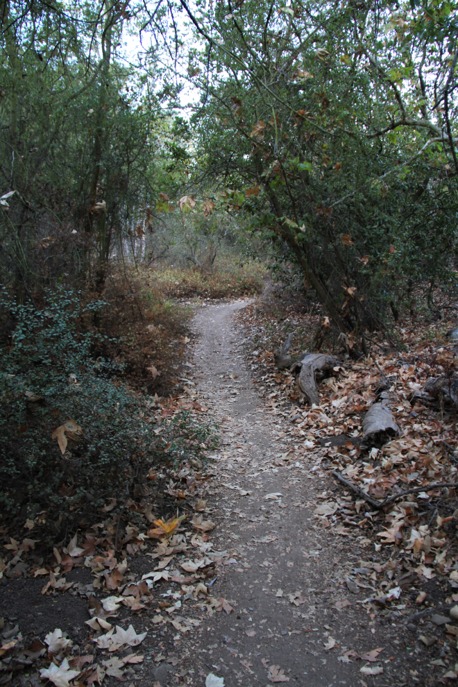
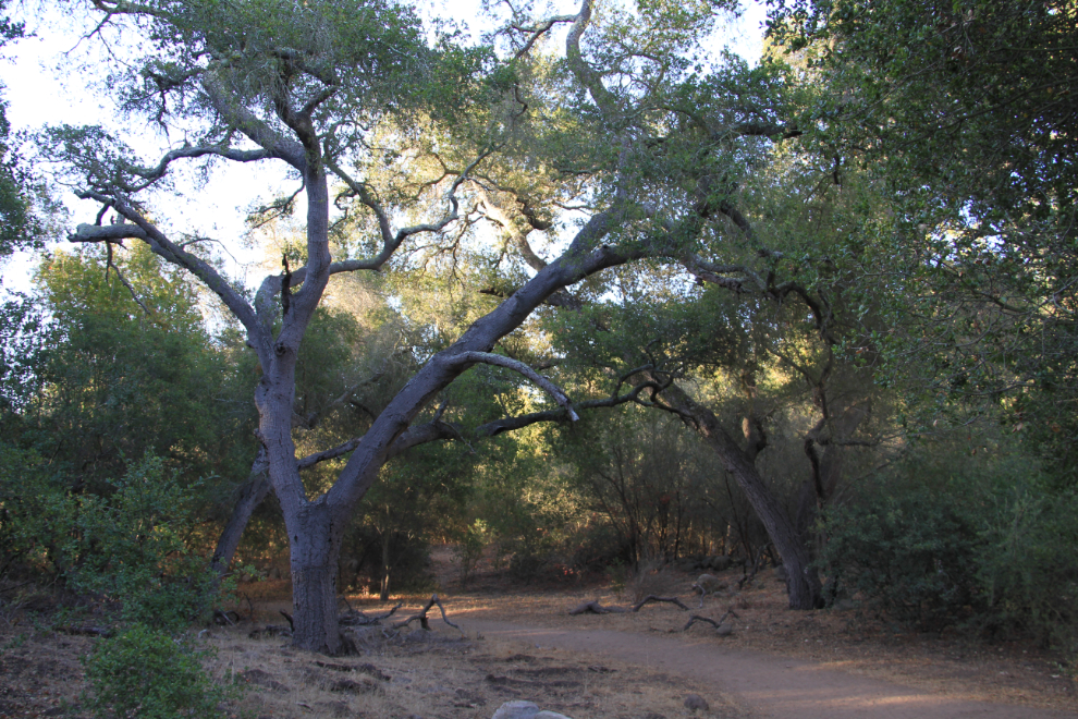
Shady trails are apparently hard to come by on a warm day, and many of the live oak trees in particular are massive. The creek doesn’t seem to have any water running very often, but it must be gorgeous when it does.
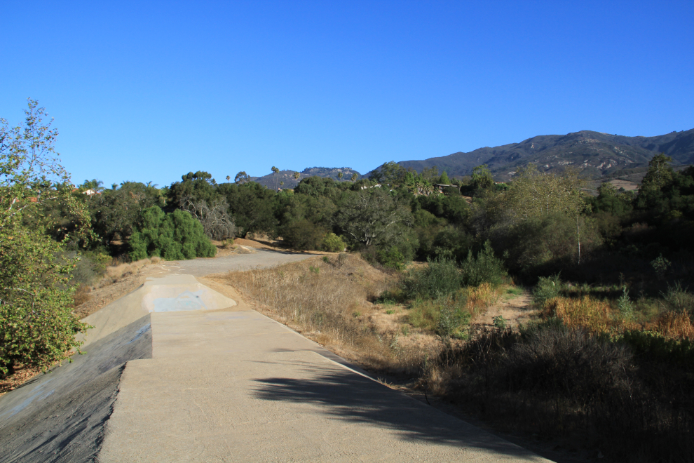
Going back to the house at 08:40 after an hour’s walk during which I only met 5 other people, I crossed over this very sturdy little dam, which looks very odd in a dry gulley. I assume it deals with flash floods.
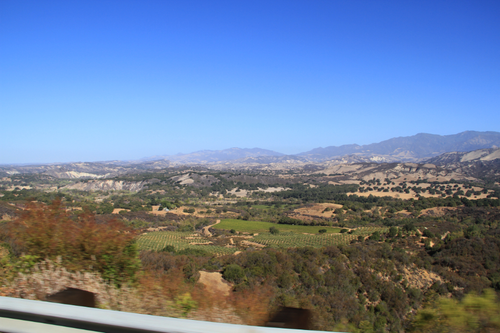
By about 09:30 all 4 of us were in the car for the main excursion of the day, a wine tour to the Santa Ynez Valley, with poor Dick as the Designated Driver. The change in scenery once you cross over the Santa Ynez Mountains from the coast on Highway 154 is very dramatic.
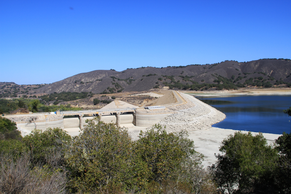
This is the third year of drought in the region, and the water level of Cachuma Lake is shockingly low. The lake was created by the construction of 201-foot-high Bradbury Dam in 1953.
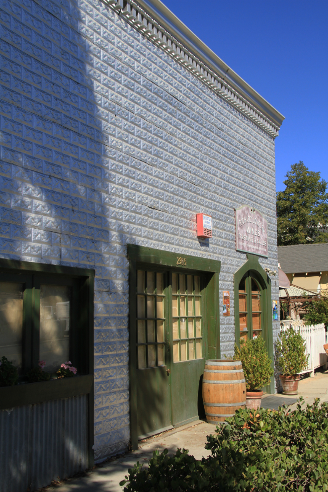
Our first wine stop was in Los Olivos, a very colourful little community with 27 (!) wine tasting rooms. We went to Qupè, which has some very nice wines. Cathy and I have never looked at California wines too seriously, but when I get home I’ll be checking to see what our liquor store carries.
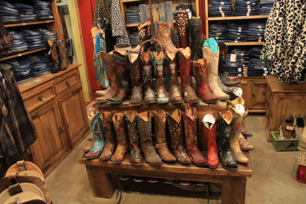
Our next stop was Santa Ynez, but it wasn’t for wine, it was for a couple of excellent shops, and lunch. The western shop had some great stuff for the cowboy-oriented – the boots were gorgeous 🙂
The next winery was Zaca Mesa, where I couldn’t resist buying a couple of bottles of their 2009 Syrah.
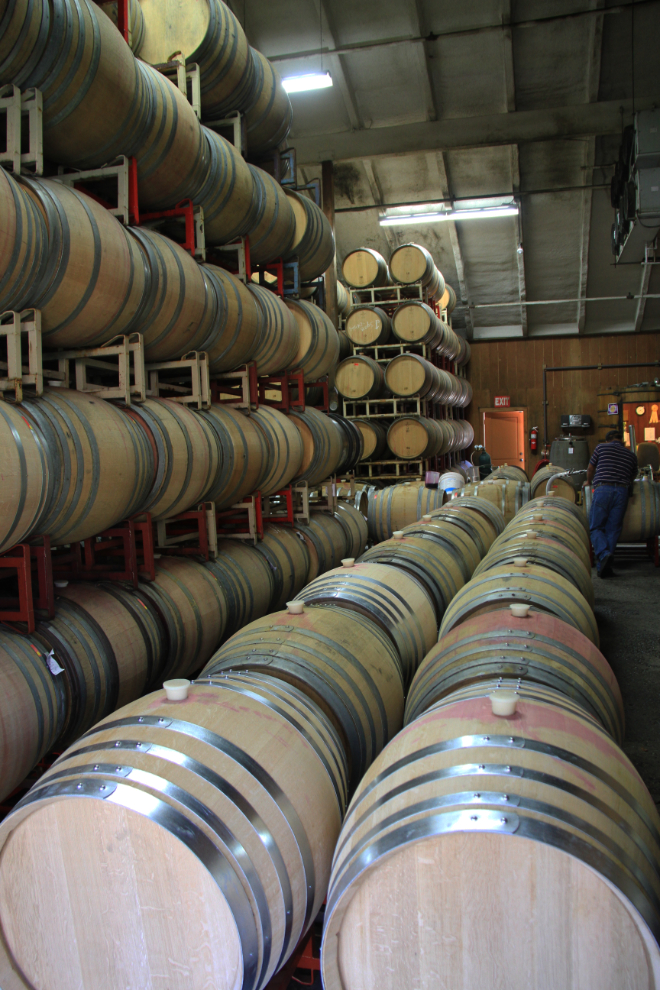
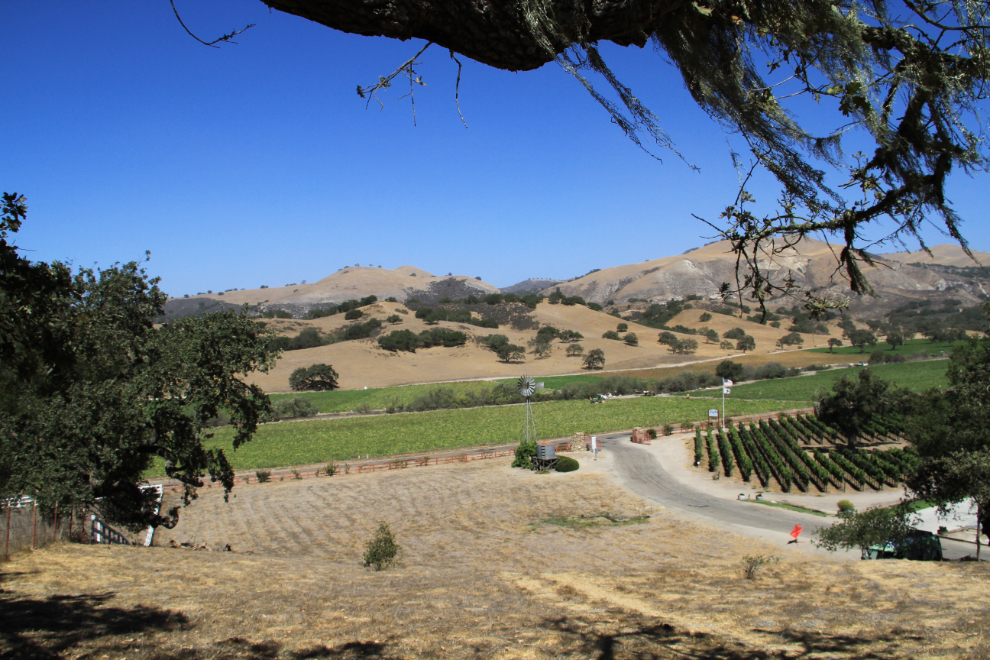
The location of Zaca Mesa was particularly scenic, and as we were leaving I climbed a small hill above the winery to get this view.
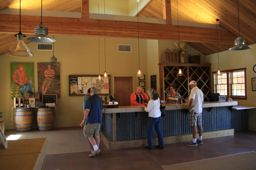
Our final winery was Foxen, whose 2011 Pinot Noir Melville Vineyard got my vote as the best wine I’d tasted that day. At $62 per bottle, it was also the priciest – funny how that works 🙁 It was an excellent day – very educational as well as enjoyable.
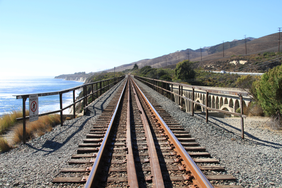
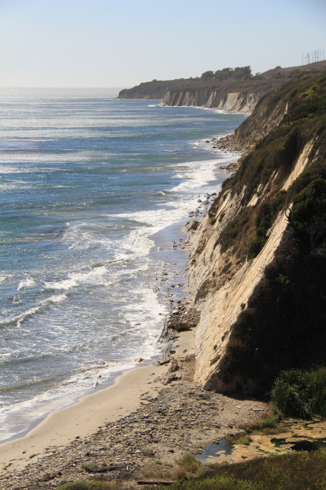
We took Highway 101 to get home, through dramatic Gaviota Pass, then made a stop along the coast at Gaviota State Park to stretch our legs.
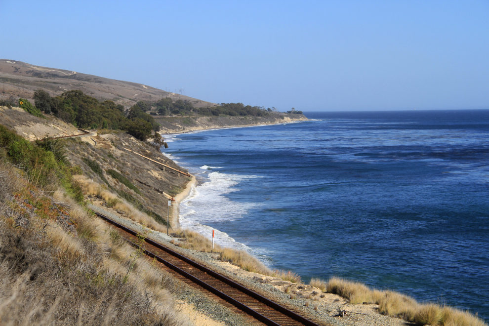
I took a bit of a wander to get a few shots of a railway trestle and abandoned highway bridge.
One final shot of the coast at that spot.
The next day, Dad and I would on our own to explore, and there was so much too see…