Exploring Hwy 37a, BC’s Glacier Highway to Stewart
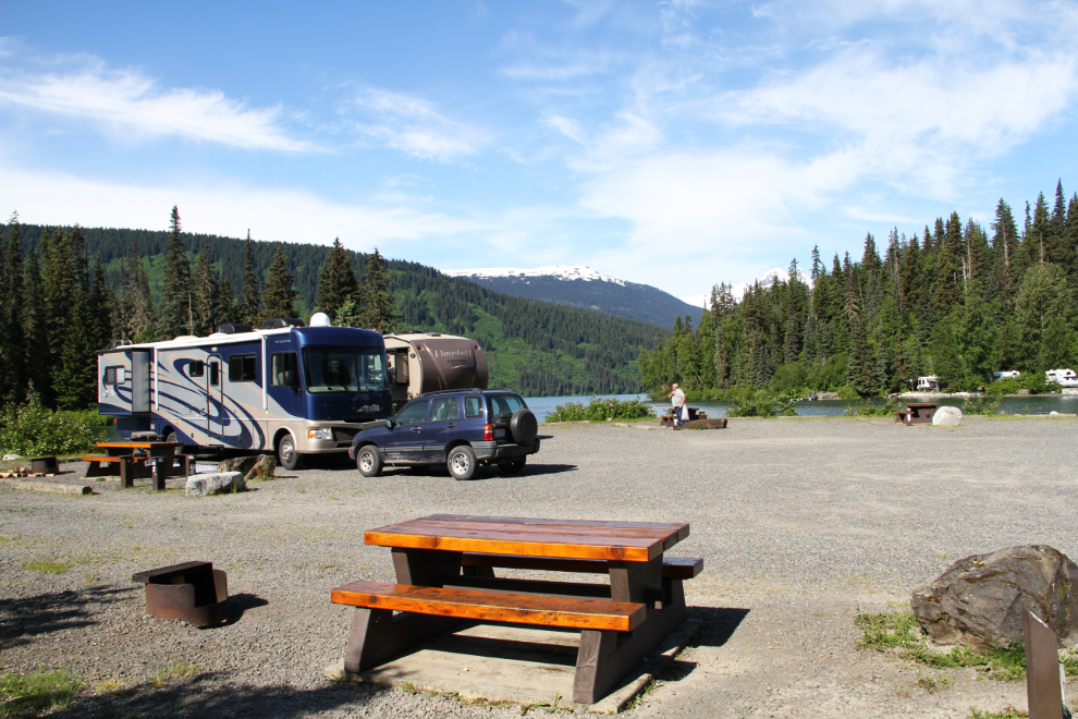
Well pleased with our decision to stay at Meziadin Lake Provincial Park for a third night, Day 52 of the trip – Tuesday, June 14th – was going to be laid-back, though I wanted to see if I could reach the toe of the nearby Bear Glacier.
The day was perfect to do some glacier exploration, but I didn’t get away from the campground until almost 10:30, by which time most of the sites had already emptied. I saw one rig leave at 05:30 – that’s some vacation!
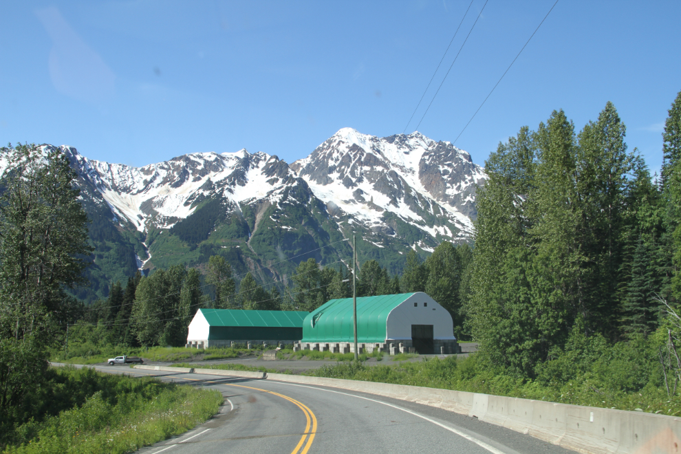
That’s the Highways gravel house, at Km 54.8 of Highway 37a (measured from Stewart – it’s 10.2 km from the junction with Highway 37, the Stewart-Cassiar Highway).
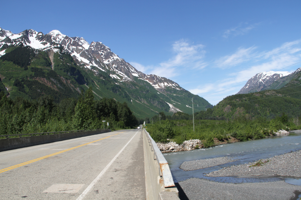
Surprise Creek, at Km 52.8. Fed by both glacier and snow melt as well as rain, the water levels of all the creeks was quite high, which didn’t bode well for my route-search.
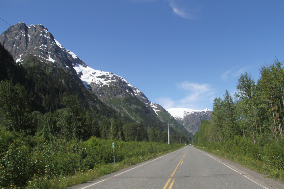
As I mentioned in yesterday’s post, BC Highway 37a is called “the Glacier Highway” because you pass by about 20 glaciers and icefields (most unnamed – see map).
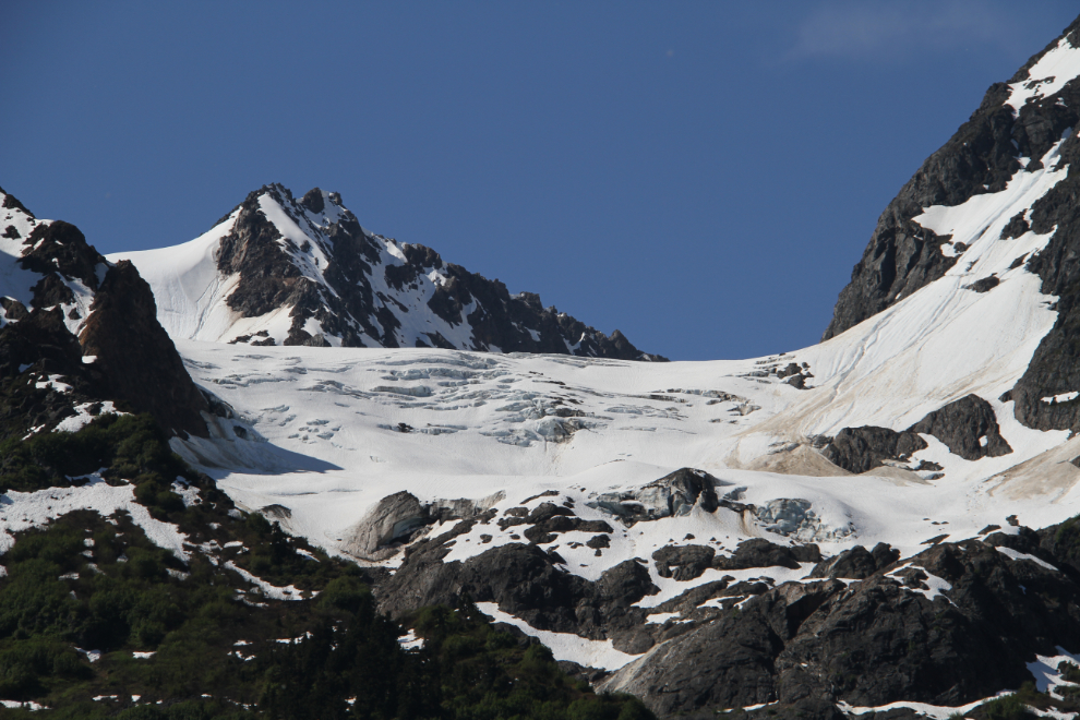
Given how rapid the retreat of the Bear Glacier has been over the 41 years that I’ve been watching it, I wonder how large this glacier was when I lived here? I should have taken more photos! 🙂
The view ahead at Km 45 – Cornice Creek is half a kilometer ahead. Going through these photos again makes me want to drive back there tomorrow for another week or two.
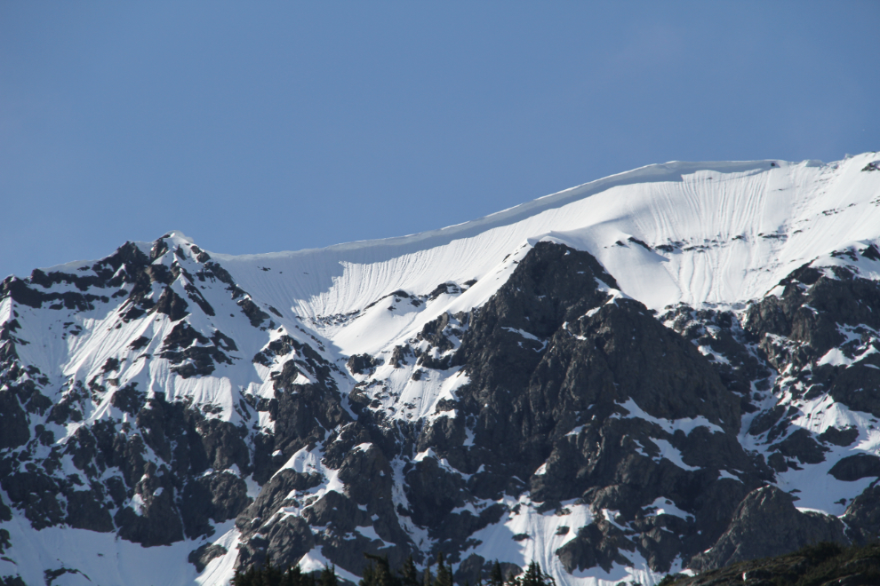
Above Cornice Creek is aptly-named Cornice Mountain. What fun those cornices would be for the guys with the avalanche mortars and bombs!
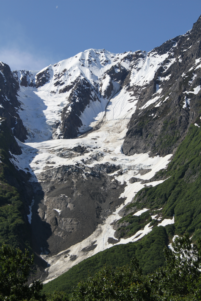
There used to be a lovely rest area overlooking Strohn Lake and the Bear Glacier, but it was closed perhaps 20 years ago, not too many years after it was built. I expect that it was because of the danger of avalanches, but the Bear Glacier has also retreated out of sight of the rest area since it was built. The road to it is still open, but Mother Nature is slowly but surely reclaiming the ground.
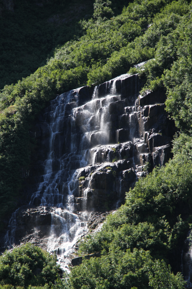
A particularly fine waterfall along the road to the former rest area, shot with a fairly long telephoto lens. The brush between the road and it was much to thick to permit an approach, unfortunately.
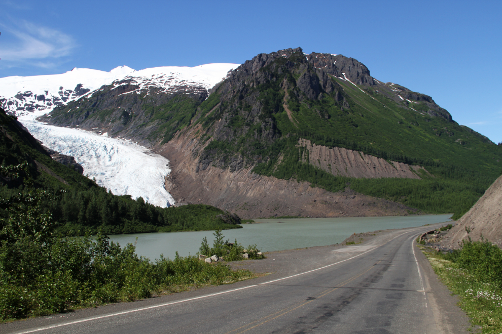
Back on the highway, this is the first view of Strohn Lake and the Bear Glacier, at about Km 40.5.
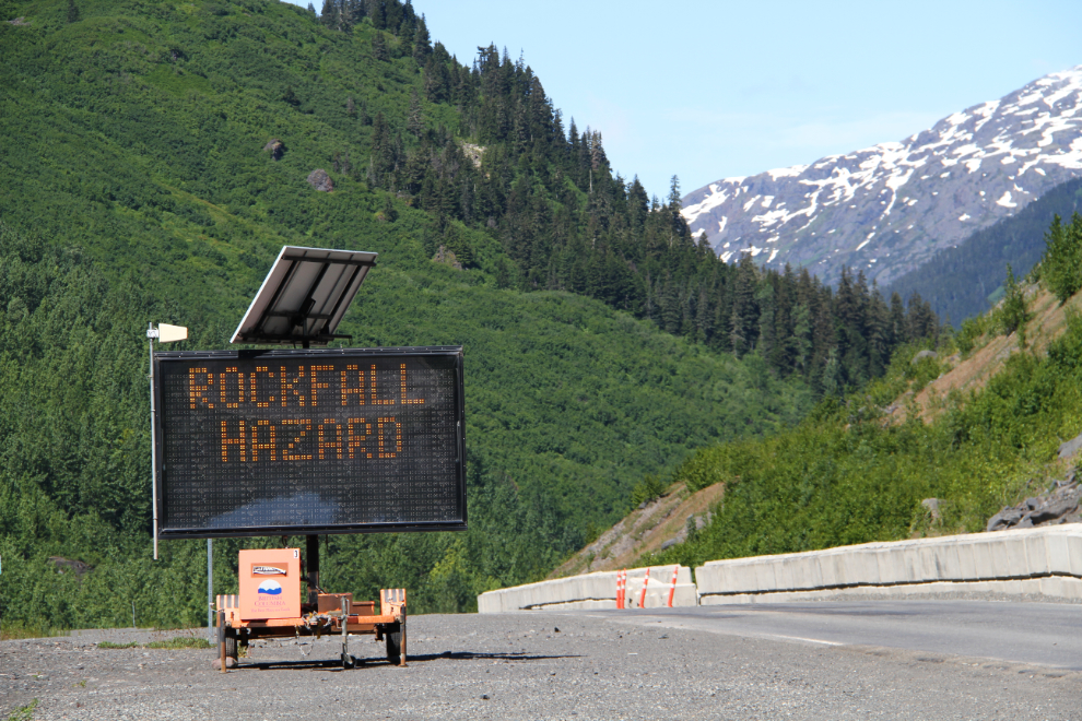
The main glacier viewing area had the “Rockfall Hazard” sign lit up…
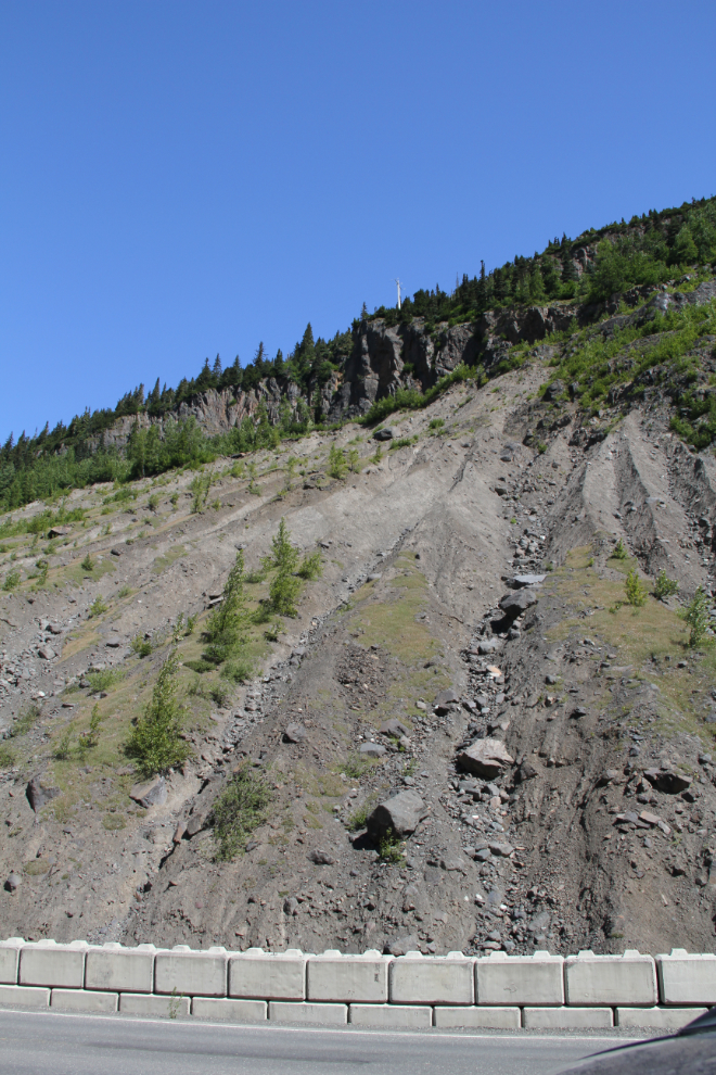
…because of this very steep and unstable slope above it.
A rough road leads down to the creek (the head of the Bear River) that I needed to cross to reach the glacier. I was able to wade most of the way across, but the last two channels were too deep. If I hadn’t been carrying an expensive camera and so afraid of a fall, getting across would probably not be a big problem.
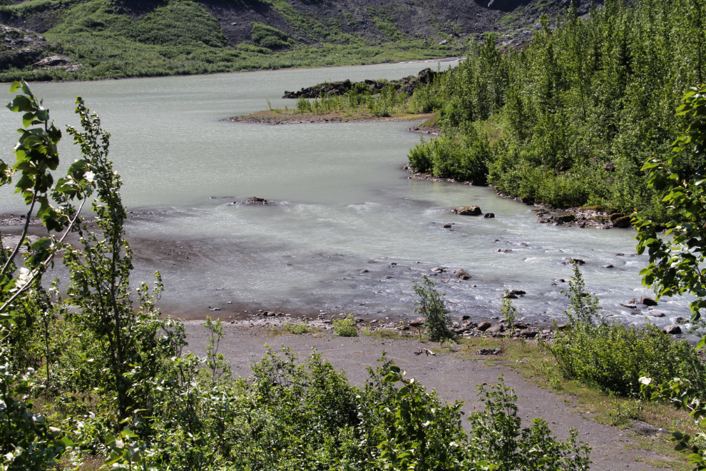
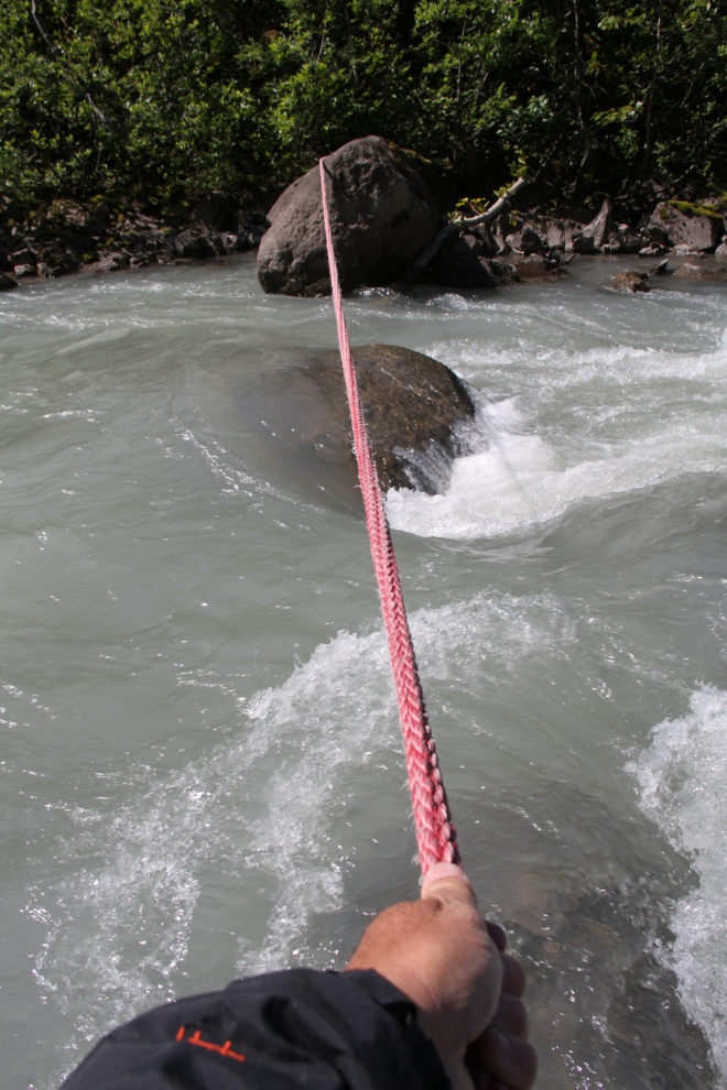
Going downstream looking for a crossing, I found a well-anchored rope across the creek. The creek was both too deep and fast for that crossing, though, camera or not. I gave up the attempt to reach the glacier after about 20 minutes. I’d be back, with a canoe next time.
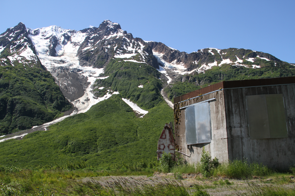
The massive base of an old avalanche mortar is visible from the highway at about Km 50, and a short hike to it seemed like a good plan.
I was very surprised by the size of it. Although it’s secured from entry, all electrical equipment has been stripped from it, so I assume that it’s no longer used.
Bugs hadn’t been a problem at all during during my wanders so far, but back at the motorhome, the mosquitoes were very bad, so we had lunch inside while hordes of the little beasts licked their chops outside the screen. 🙂
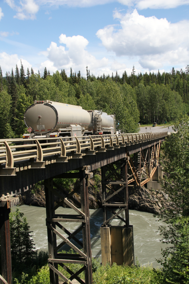
Cathy was in the mood for a drive, and there’s a fish ladder on the Meziadin River that I hadn’t been to it many, many years, so we headed out at about 2:00 pm. The one-lane bridge that carries the Stewart-Cassiar Highway over the Nass River always intrigues me, so we started out there. It’s always nice when a tanker truck comes along at the perfect time for the shot I really wanted.
I had only a vague memory, combined with rather vague directions in The Milepost, of the location of the fish ladder, and the first turn took us to the Meziadin River just downstream from the lake. So we were close, and even knew the general direction to go from there.
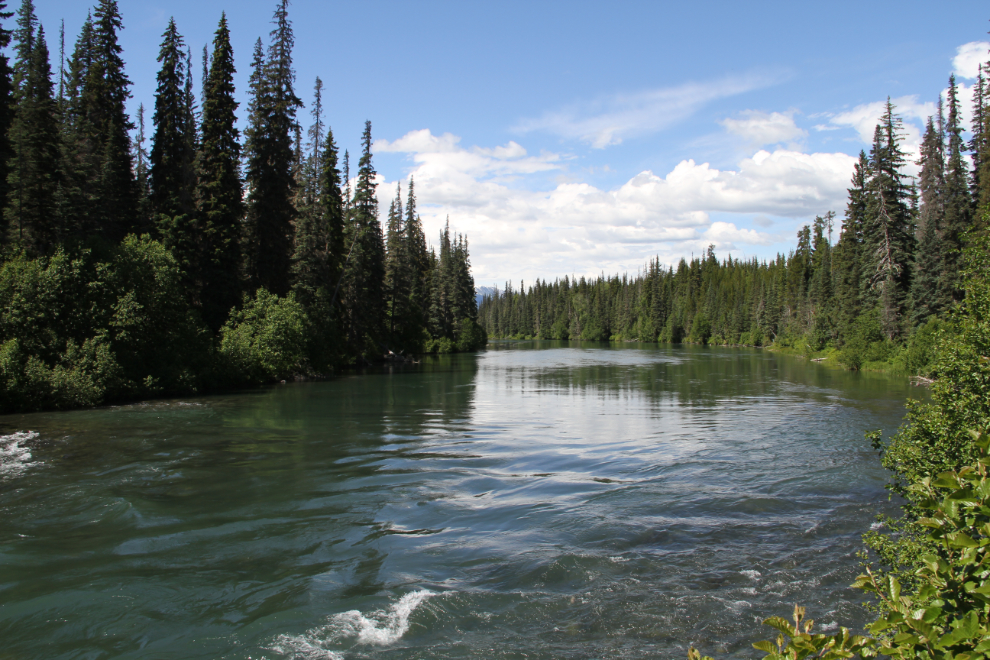
The next road took us to what was probably a fish ladder, but it wasn’t the very scenic site that I remembered and wasn’t very accessible, so we kept going along an ever-smaller road.
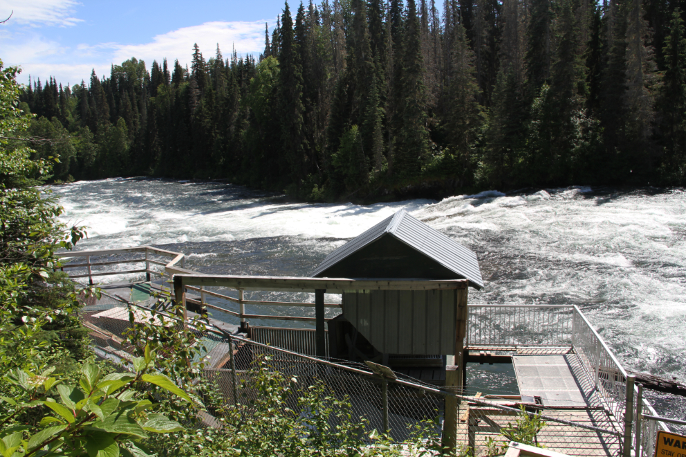
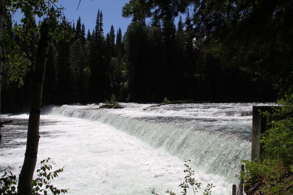
There, that’s the place I remember! The weir forces most fish into the fish ladder on the near side of the river, though I’ve seen salmon jump the weir. The water, though, was dramatically higher than the last time I saw it. Mission accomplished 🙂
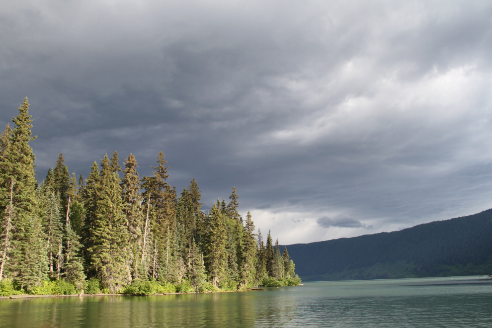
It had been an excellent day, and the weather had been good, but as we relaxed outside the RV that evening (with just enough wind to keep the bugs away), a storm approached.
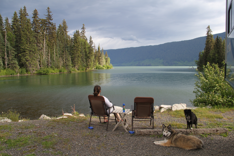
By 7:30 pm, the winds from the storm forced us inside, and the rain began soon after.
On Wednesday, we’d drive north until we felt like stopping, with Gnat Pass, south of Dease Lake, the likely overnight boondocking location.