Exploring Haines, Alaska
Although I had planned for a bit more time, I ended up having 50 hours in Haines this time. I know Haines fairly well and didn’t have any real plans other than visiting with my friend Greg. It would just be a couple of days of wandering/exploring wherever the mood took me.
I arrived just after 6:00 pm on Monday, and parked the motorhome behind my friend’s Hidden Cove Farm Vacation Rental – it’s currently empty while Greg is repainting it. Town is close, and we went to The Lighthouse for dinner that night.
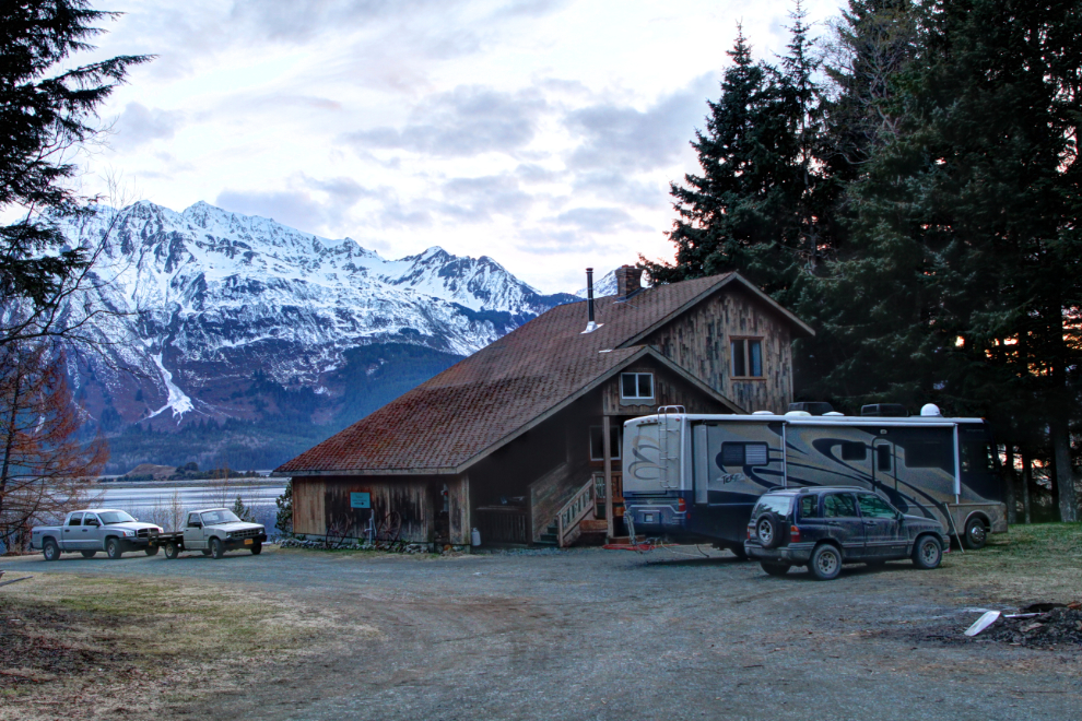
The beach right below Greg’s offers great walking, on a path or the beach itself at low tide, so that’s where we started Tuesday out. This is right where the vast braided Chilkat River empties into the sea – the river bed is about 3 kilometers wide at this point. Here is an interactive map if you’d like to follow along on our Haines exploring.
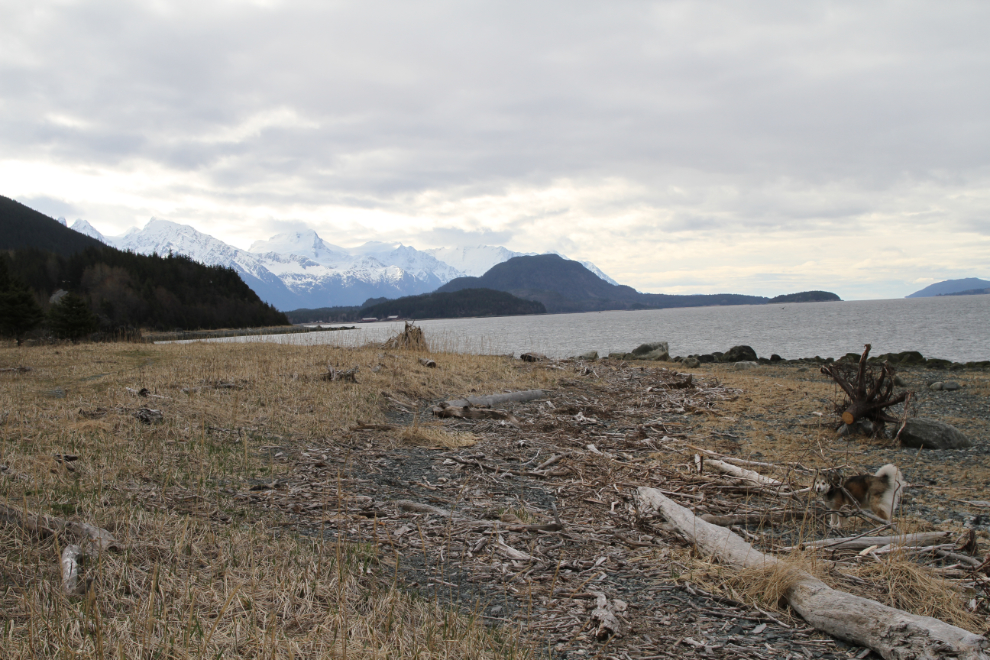
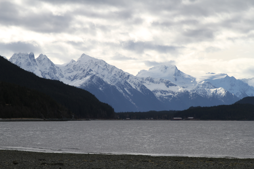
An island intrigued me – it looked like you might be able to walk out to it at low tide depending on which of its many channels the river was using that day.
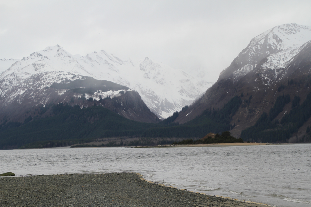
I decided to drive out to the Chilkoot River, which is world famous for its bears. There were no fish running that might bring the bears down, but maybe…
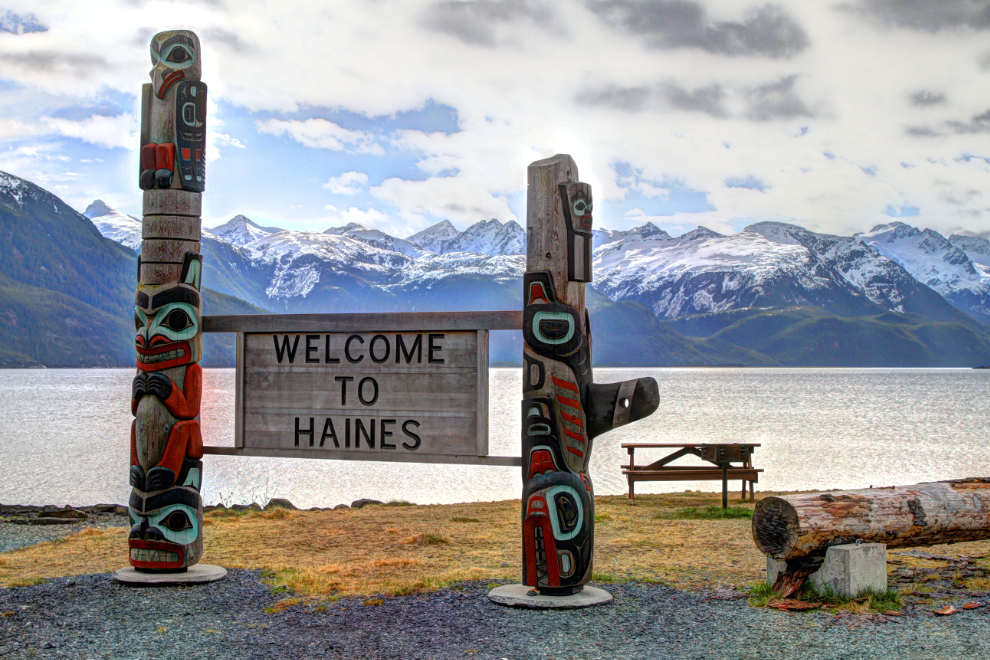
On the way, I stopped at the main Haines viewpoint for people arriving by ferry.
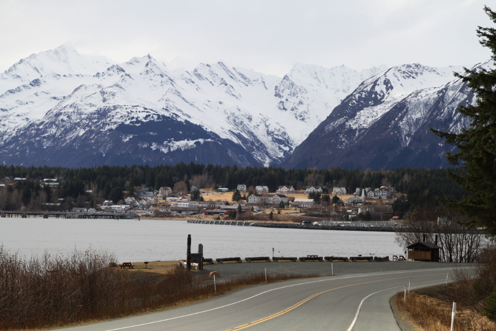
Continuing on, looking back to the viewpoint.
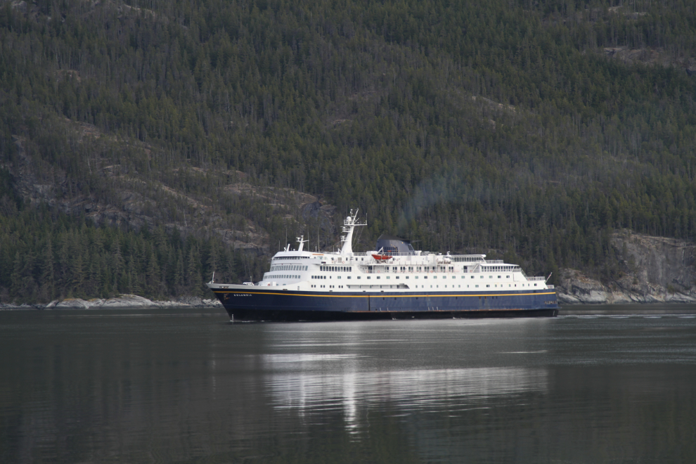
I was very surprised to see the ferry MV Columbia sailing in. Normally the small MV LeConte is on this run – at 418 feet, the MV Columbia is the largest vessel of the Alaska ferry fleet, and until 2004 was also the fastest. She was designed to carry 499 passengers and has a vehicle capacity of about 133 average vehicles.
The Chilkoot River was bear-free, but Bella and Tucker and I went for a good walk through the campground at Chilkoot Lake. I noted that except for a couple of sites it’s not really suitable for larger RVs but is very inexpensive at $15 per night.
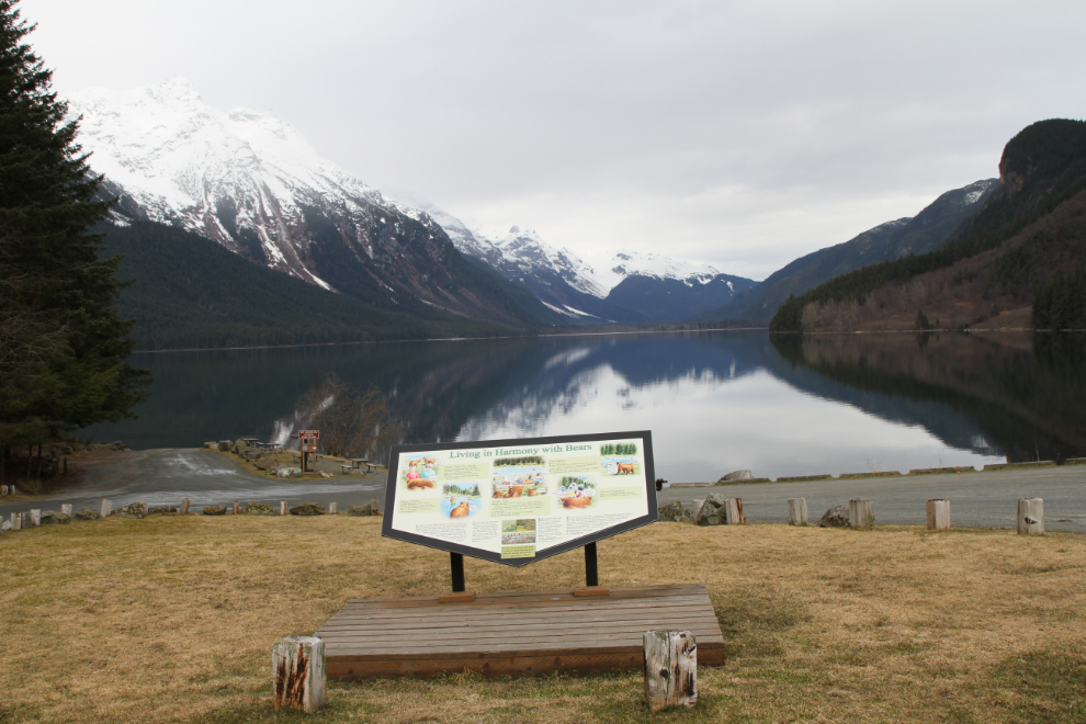
The scenery makes a drive out to the Chilkoot River worthwhile even when there are no bears. Many comments I’ve see in the past couple of years makes me think that the crowds who arrive when the bears are there might make it a less than positive experience. When I was there in early May 2012 it was a very positive experience – one of the many bear photos I shot that day is still the header for this blog.
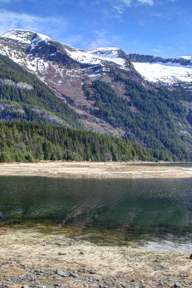
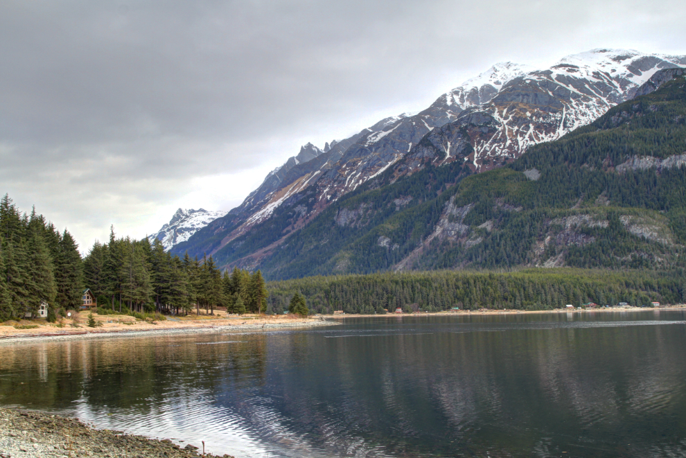
I stopped for a while hoping to get some photos of the ferry sailing down Lutak Inlet, but eventually gave up and continued on.
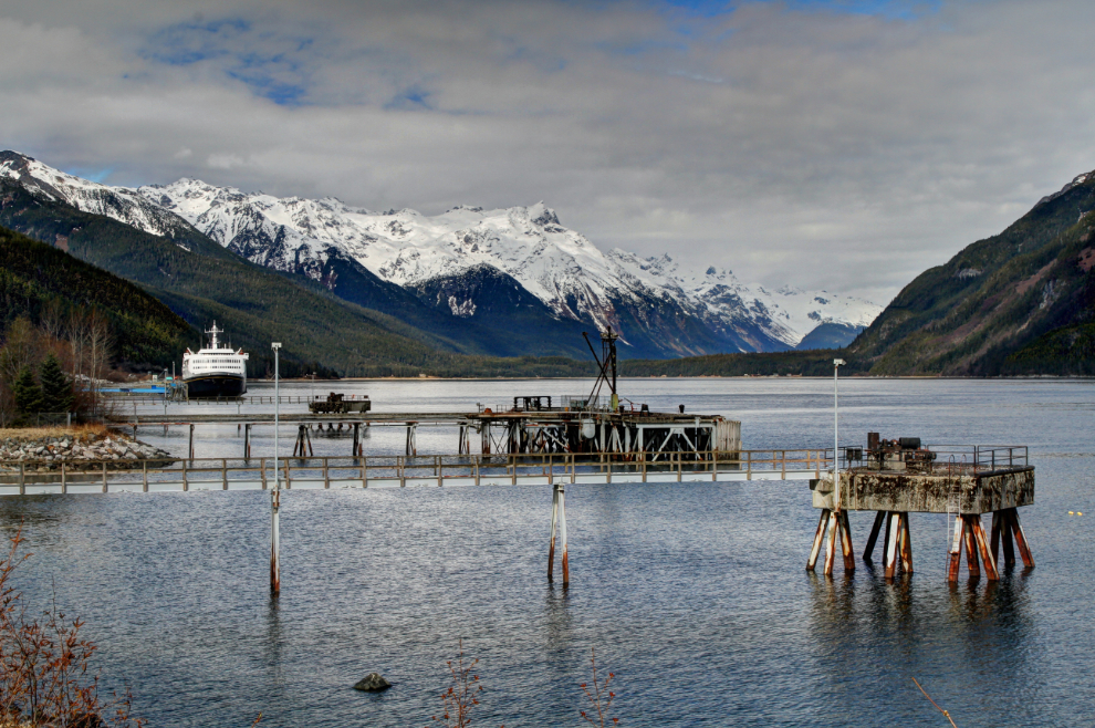
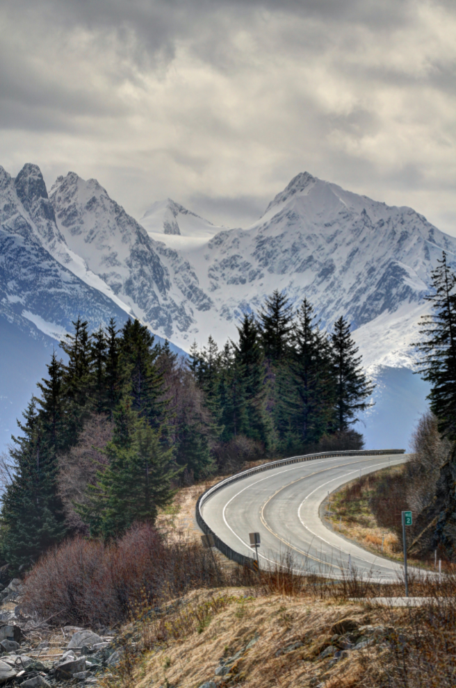
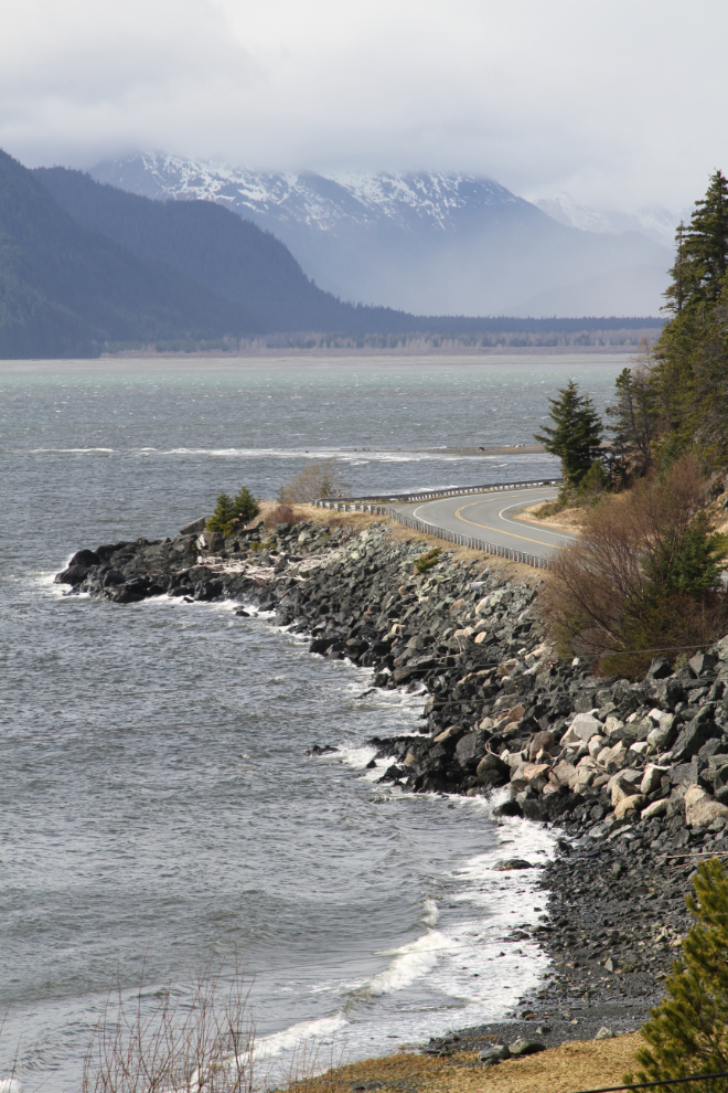
This spot heading back to town on Lutak Road often stops me. The next photo was shot with my 100-400 mm lens at 188 mm.
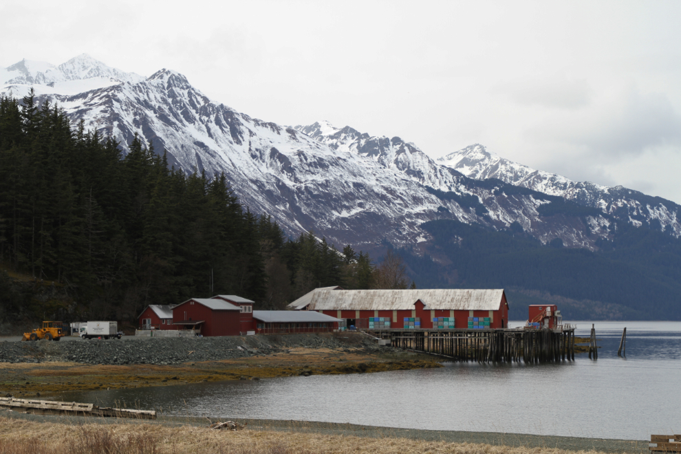
Next, we passed through Haines and drove down the Chilkat Peninsula. The cannery in Letnikof Cove always stops me for a few photos. It’s now the home on Haines Packing, a very successful operation that even has a store in Whitehorse.
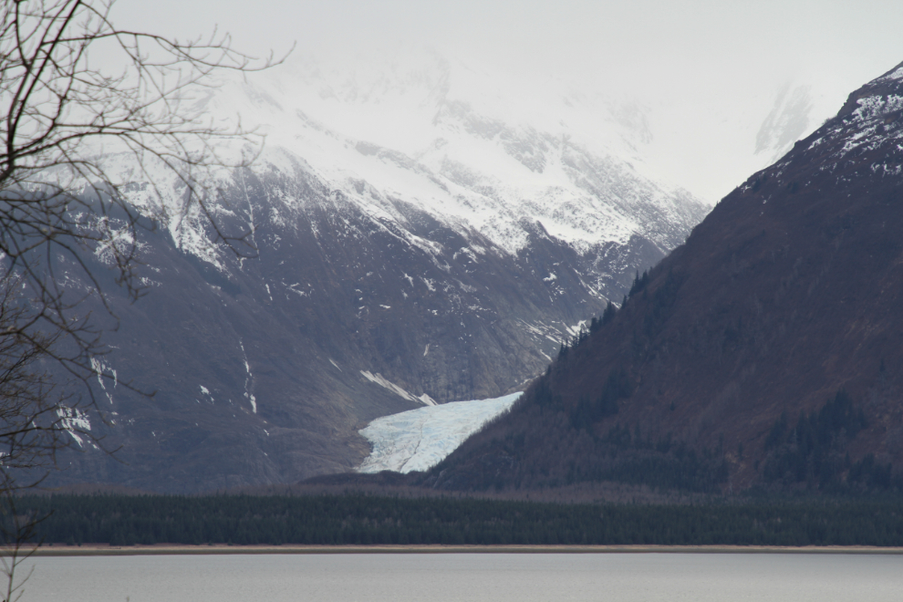
I wasn’t surprised to find the gate closed at Chilkat State Park. It’s a long walk down grades of up to 14% to get the the water, but it was worth it. On the walk down, though, two bald eagles were checking Tucker out for several minutes. He’s about at the limit of what an eagle could carry away, but I kept him close. Once at the water, the Davidson Glacier could be seen across Chilkat Inlet.
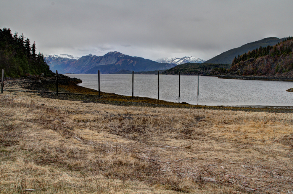
The boat launch. The wind was nasty – strong and very cold – so we didn’t stay long.
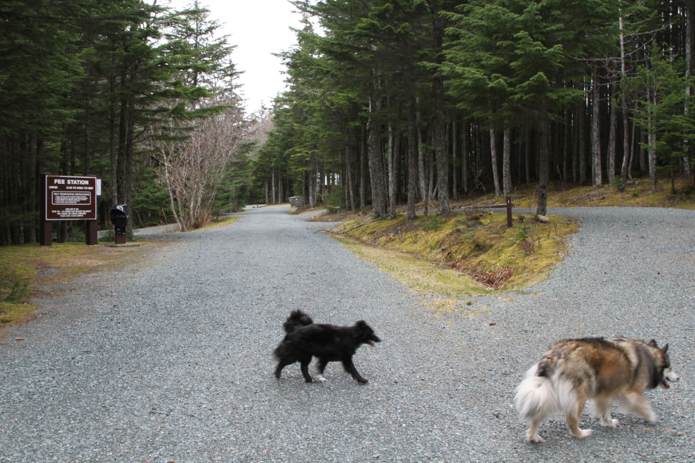
Despite the very steep grades to reach it, the campground at Chilkat State Park is much nicer than the one at Chilkoot Lake and is much more suitable for larger rigs. It also costs only $15 per night.
We went back to the RV for an afternoon nap, then after feeding the kids dinner, I went back into town to meet Greg.
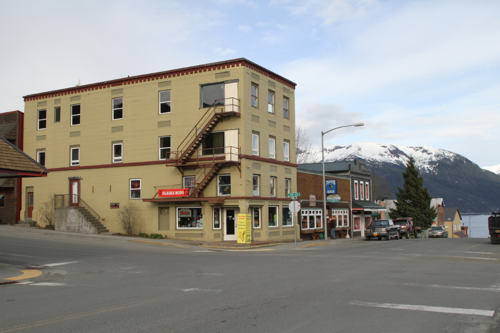
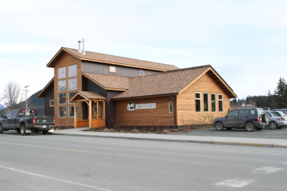
The Haines Brewery was our meeting place. It’s a cozy place with some excellent beers. The Eldred Rock Red ale was my favourite.
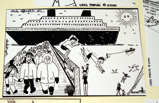
The prompt to meeting at the brewery was that they’re having a show of Greg’s cartoons. Some of them about tourists I found particularly funny – the one below showing people getting off a Holland America ship dressed in parkas while locals are swimming in the bay is a scene that actually happens 🙂
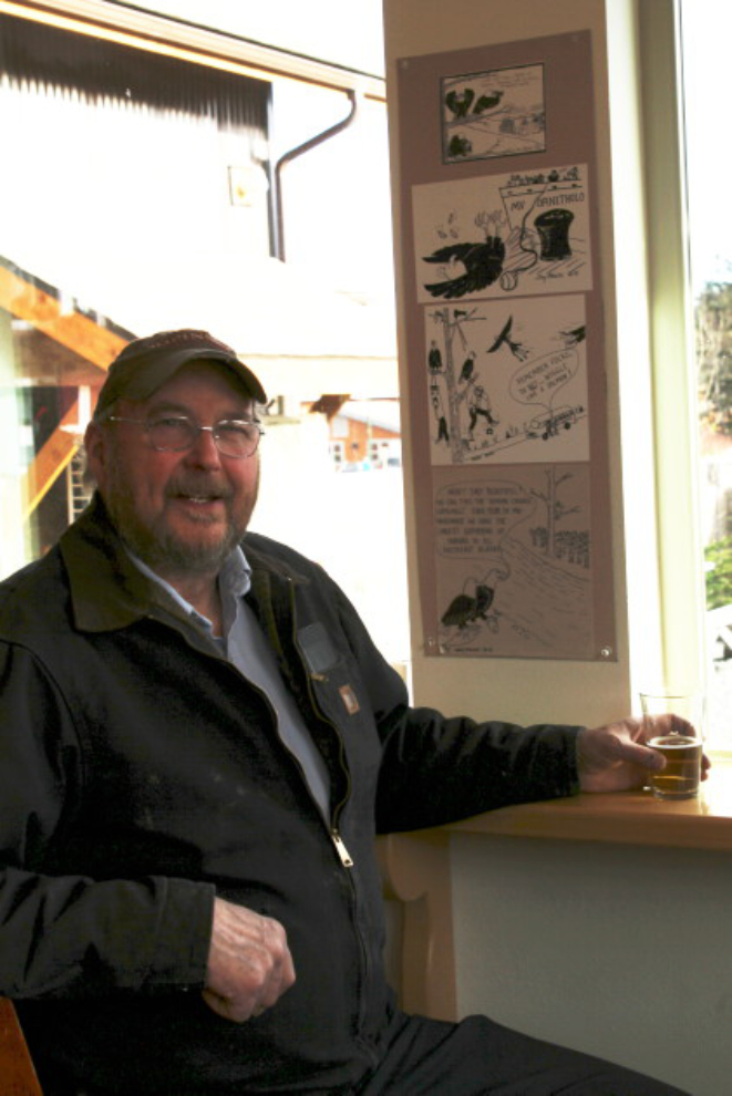
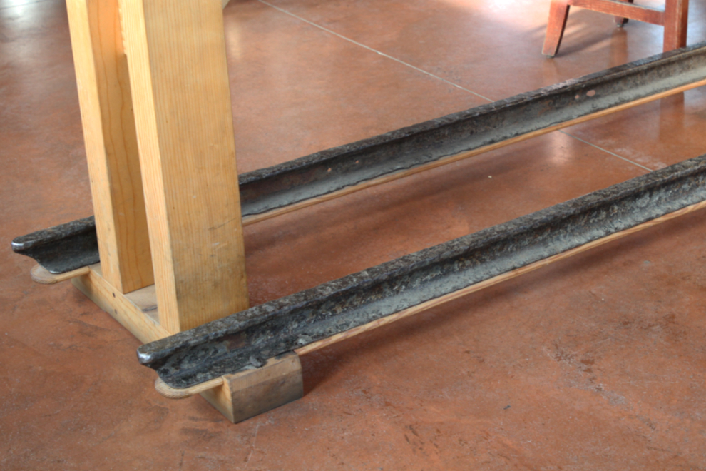
A few days ago, I got a note from Gabe Emerson letting me know about his excellent website “Lesser Known and Obscure Railroads of Alaska“. What did I see in the brewery but a pair of rails from the Eldred Rock Lighthouse, used as the base of a table. Gabe has now added the lighthouse to his list 🙂
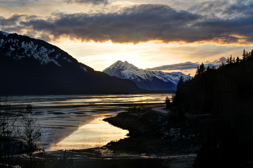
After our second dinner at The Lighthouse, we got home to this sunset. Greg says “it never gets old” – I guess not!!
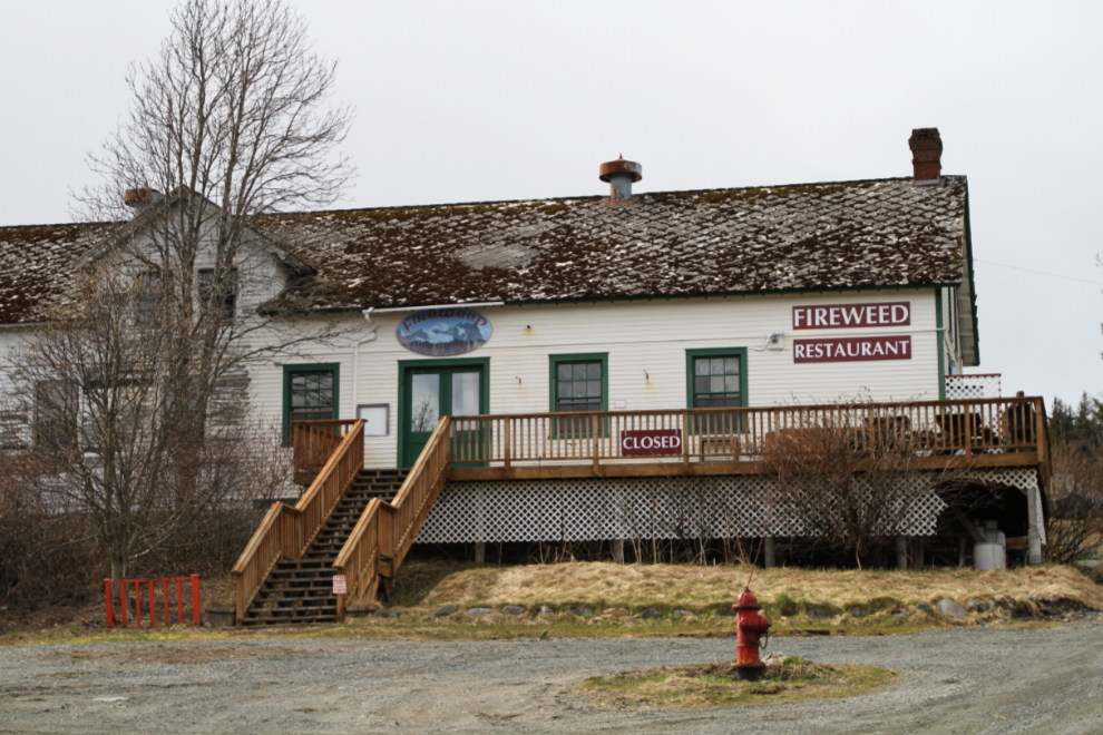
Things went sour Wednesday morning. I got a call that a close friend had been taken to the hospital in Whitehorse, with the problem yet unknown. The weather also changed and it looked like snow in the pass would be likely that night. I decided to leave that evening after dinner at a restaurant Greg wanted me to see, just opening for the season that night.
I wanted to have a good look at all 3 cemeteries in Haines, and that became my project for the day. I began at a small cemetery overlooking the water downtown. It appears to have been used between 1898 and 1909, and 14 graves are visible.
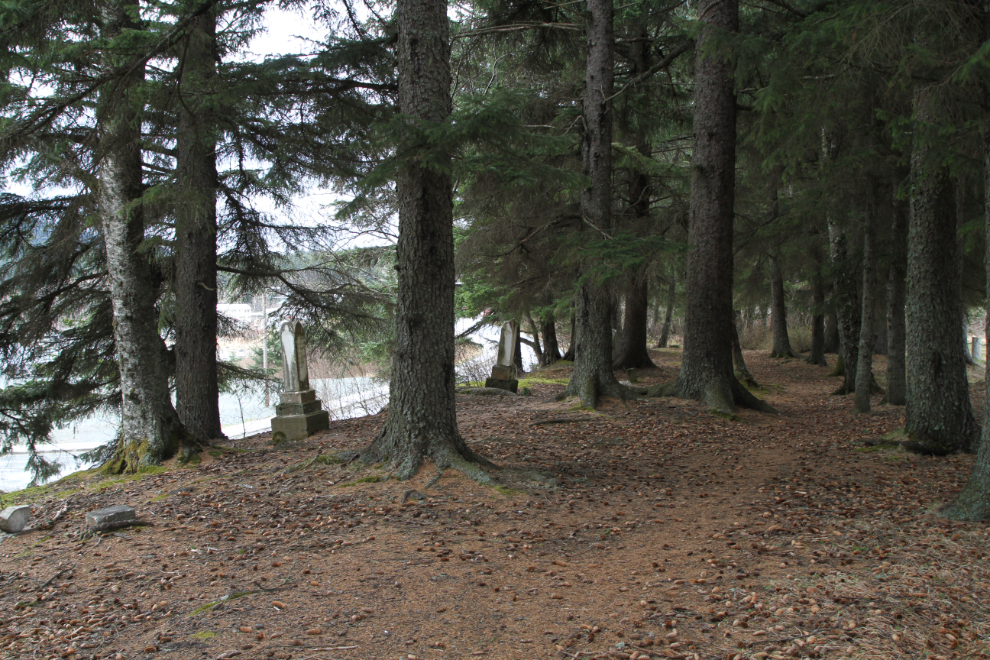
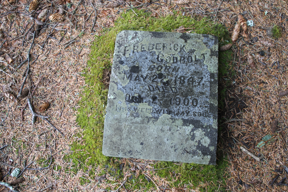
Next, I went over to the cemetery that is currently in use, the Jones Point Cemetery. Findagrave has it well recorded, listing 478 burials, almost all with photos. The earliest I could find listed was from 1918.
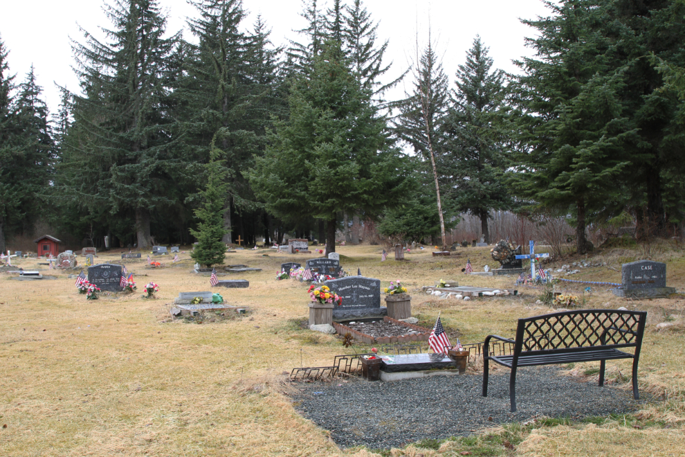
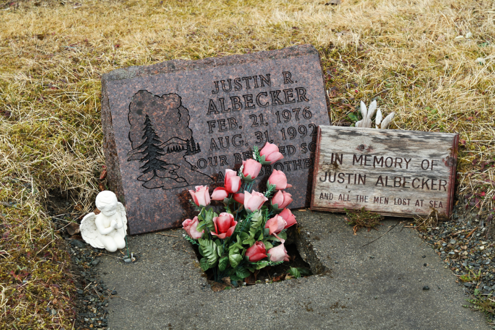
Some parts of the Jones Point Cemetery are in very poor condition while other parts are very well maintained.
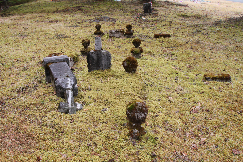
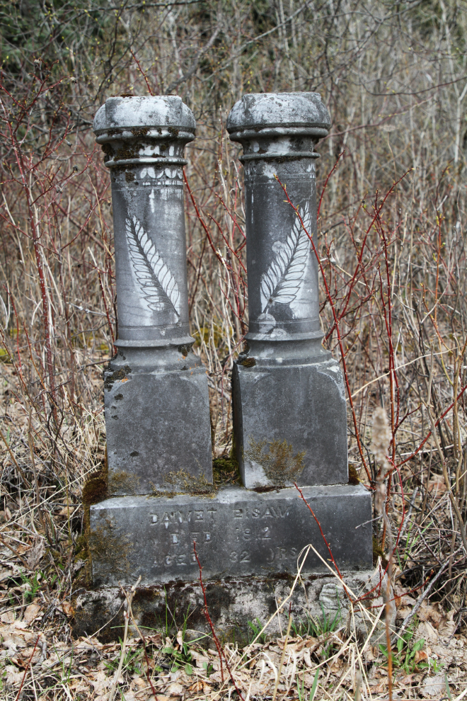
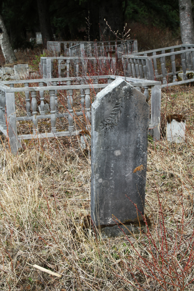
Finally I went to the Yendistucky Indian Cemetery across the Haines Highway from the airport. There was only a name and location map at Findagrave so when I got back to the motorhome I added 5 memorials to get things started there. The next day, someone added 19 more memorials, to which I added several more photos. Teamwork 🙂
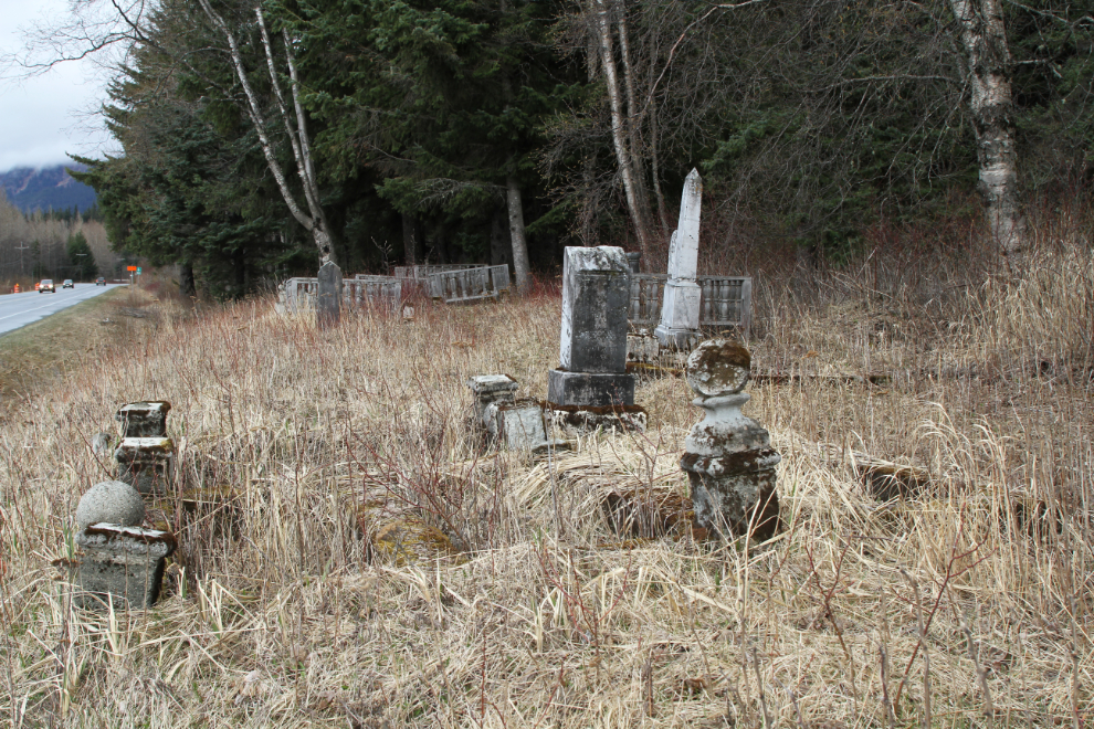
The earliest burial we have dates to 1888, but my feeling is that this cemetery is both much larger and much older than what is easily seen. I’ve been coming here for many years, and as far back into the bush as I’ve gone, there are vague signs of possible burial sites.
Driving back in to town, I went to Fort William H. Seward, first to see the Fireweed Restaurant where Greg and I would meet later…
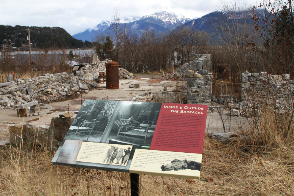
…and then for a look at the Haines Distillery which was also closed, and a couple of the barracks buildings, one intact and one burned.
From there I went back to the motorhome, took a few final photos of the view and the vacation rental, then hooked the Tracker up to the RV and prepared to leave.
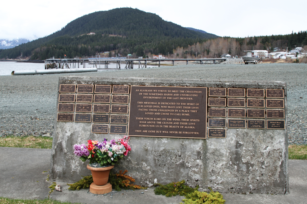
I drove back into Haines and parked in the huge lot at the marina, an easy walk to the restaurant. Taking Bella and Tucker for a walk, I came across this lovely memorial, I assume for people whose ashes have been spread here or who have been lost.
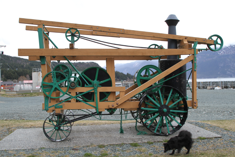
And finally I took a few photos of the restored Keystone drill to answer a question that had come up the day before in my Yukon History and Abandoned Places group.
Dinner at the Fireweed was excellent. It had been a great trip but at 6:30 I headed north, with no firm idea of where I’d spend the night – just somewhere beyond at least the worst of the snow I expected.
