Exploring the East Camino Cielo Road, California
On Thursday, Dad and I were out exploring on our own around Santa Barbara, and it turned out to be very different than we had intended when I found a road along the very top of the Santa Ynez Mountains.
We were on the road just after 9:00 am, and in half an hour were halfway up Painted Caves Road, which had intrigued me when we went past it on the way to wine country. As it turned out, the caves were inaccessible to Dad so I kept driving up the steep, narrow, winding road. We were both amazed that there are lots of homes up there – it’s a very difficult place to service.
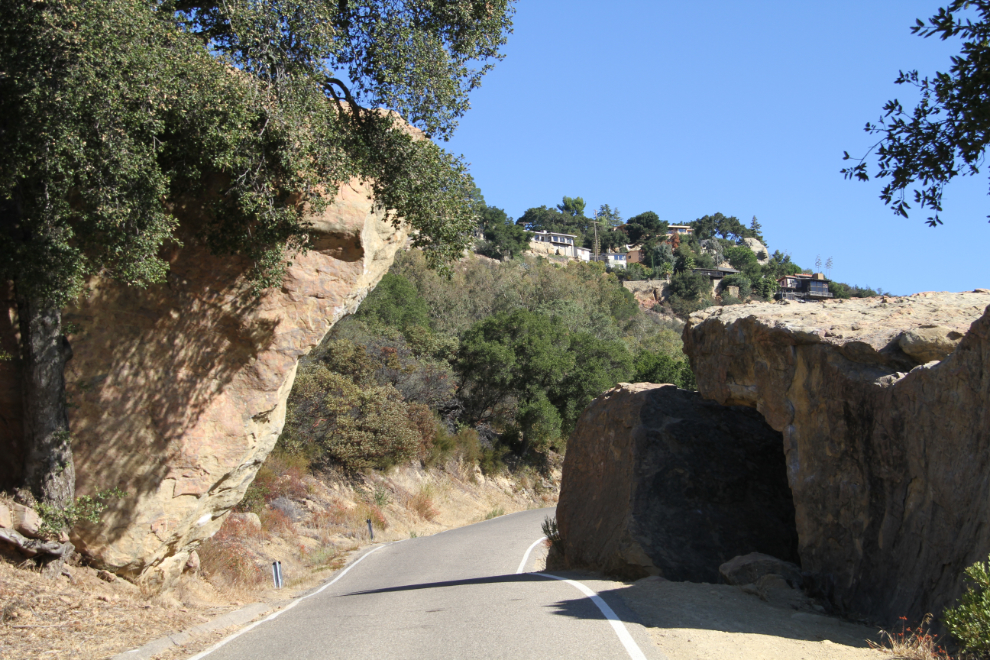
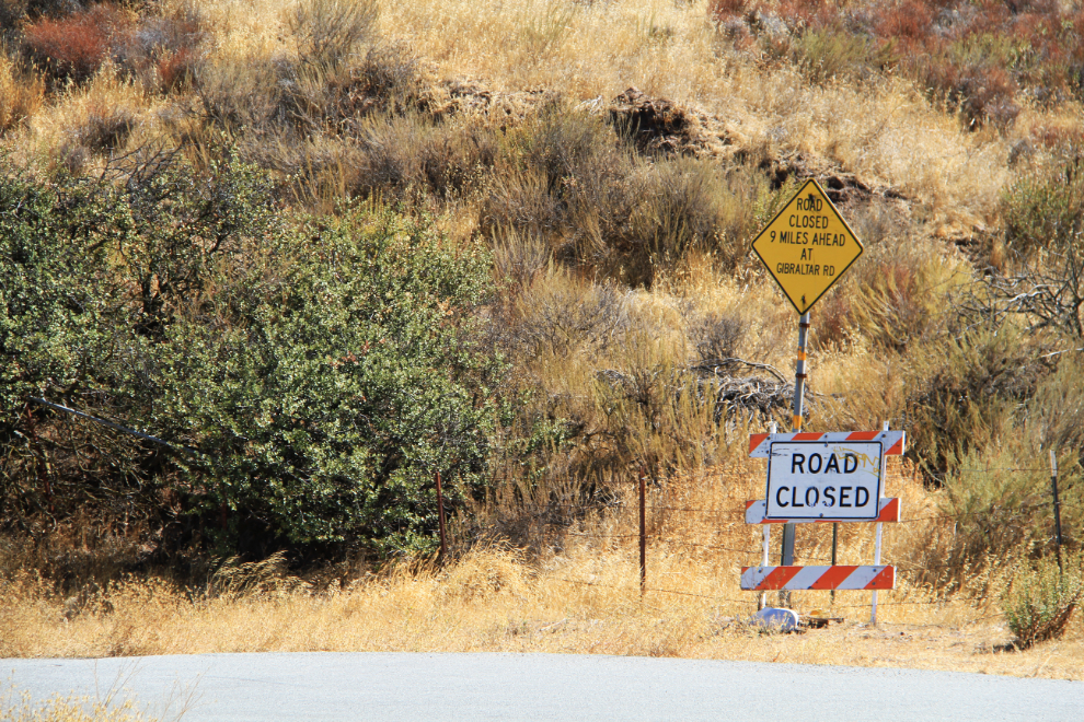
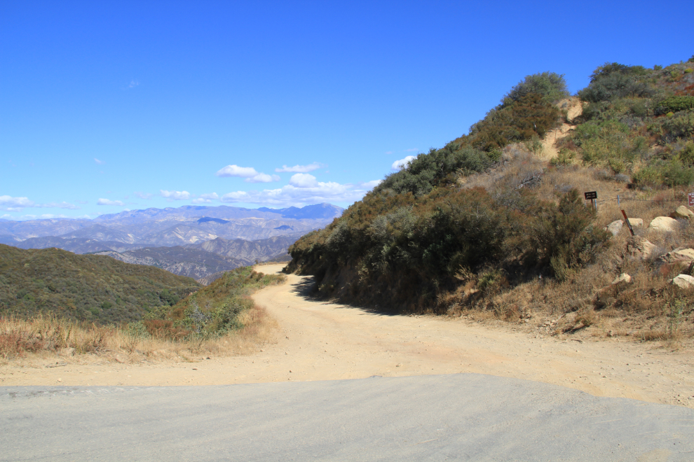
At the top of Painted Caves Road, there were 2 options – go back to the highway on a wider, straighter road and continue on to our original destination, or go further up on a narrow, obviously much less-used road that was signed as “Closed 9 Miles Ahead”. My regular readers won’t have to wonder which one I would choose 🙂
We soon came to the first of several side roads – the type of roads that I always want to explore!
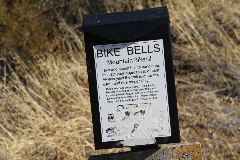
That road is apparently a well-used bike trail. I didn’t know that mountain bikers use bells to warn people that they’re coming – great idea.
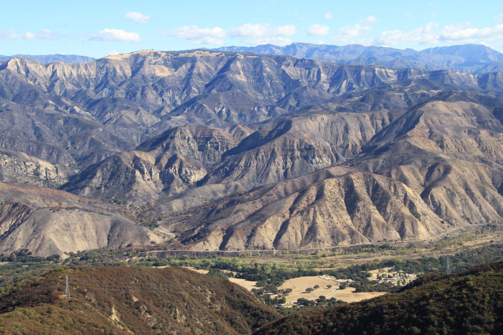
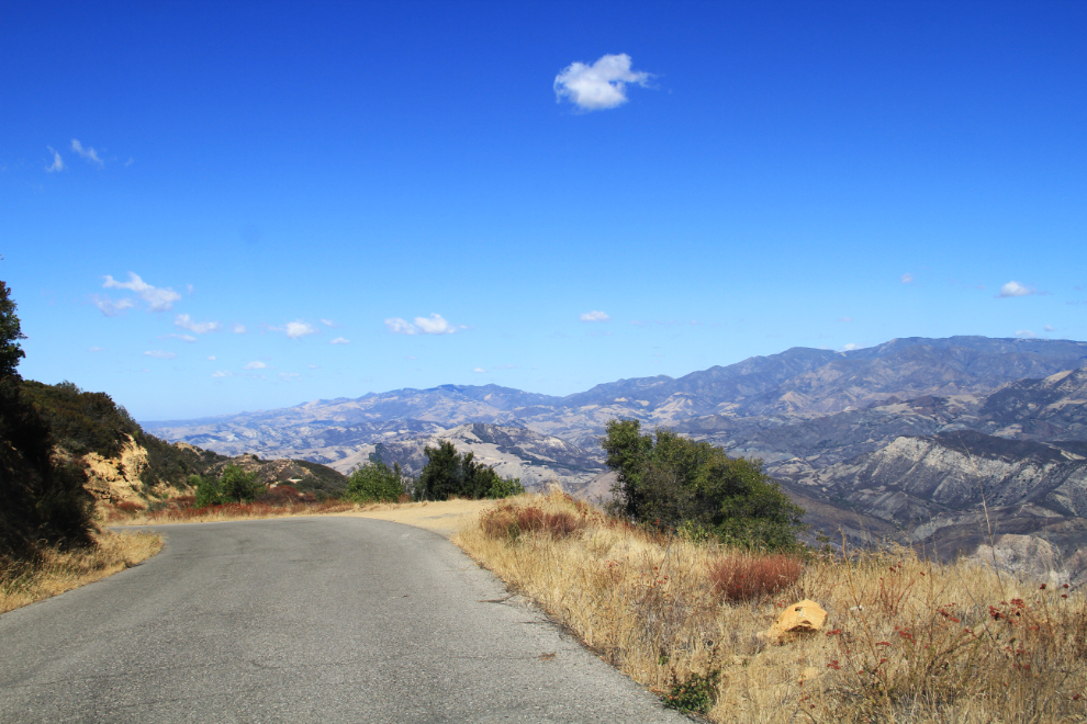
Looking north across the Santa Ynez River…
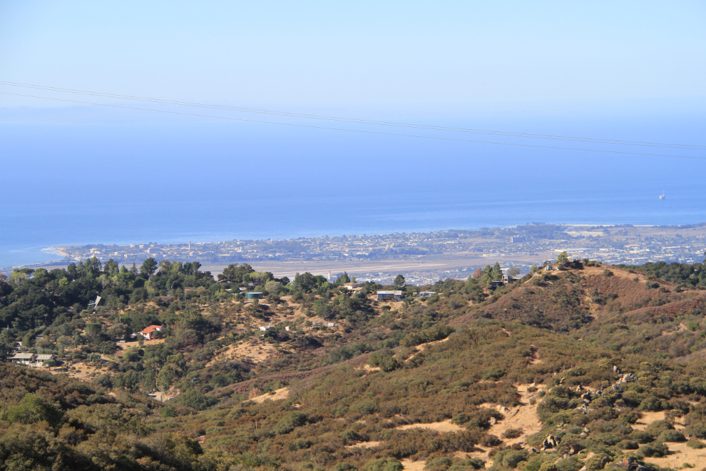
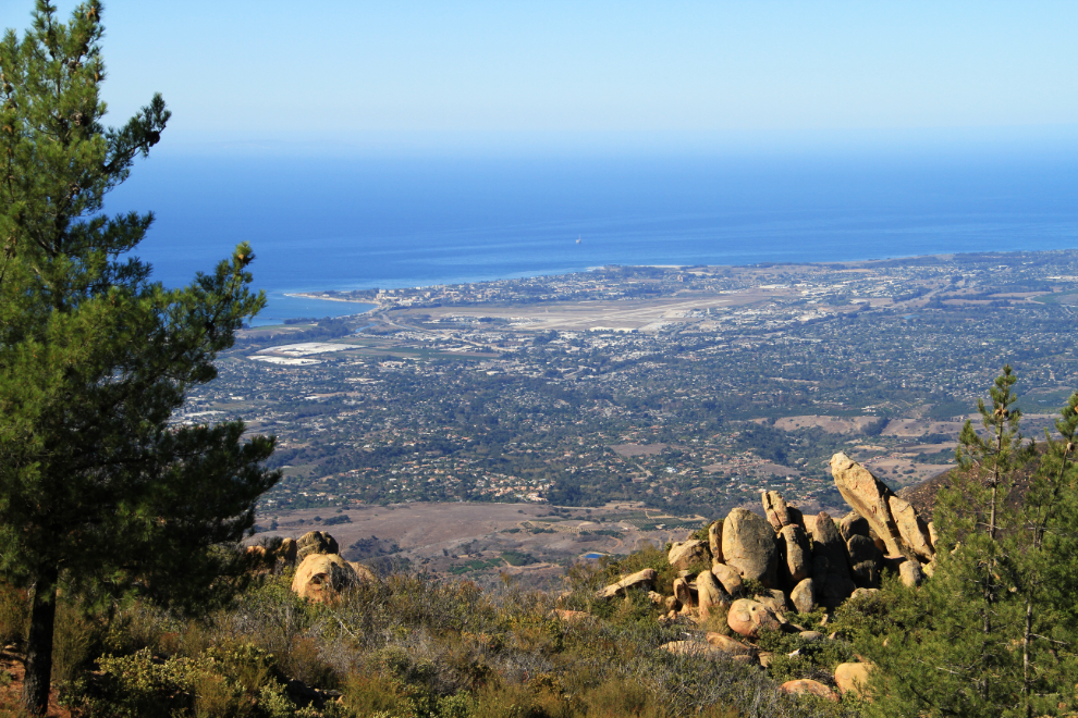
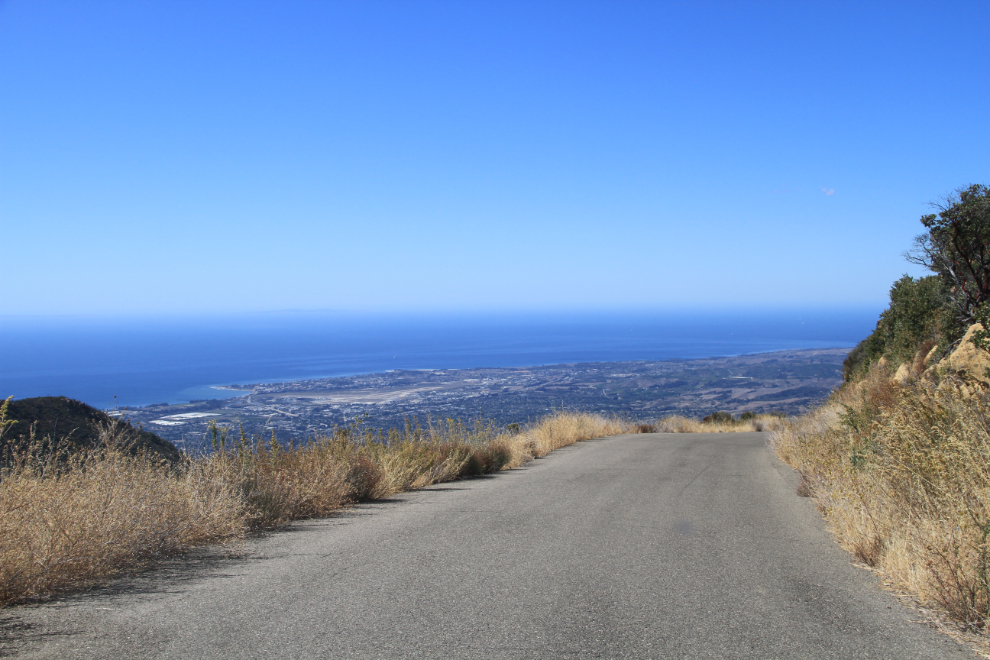
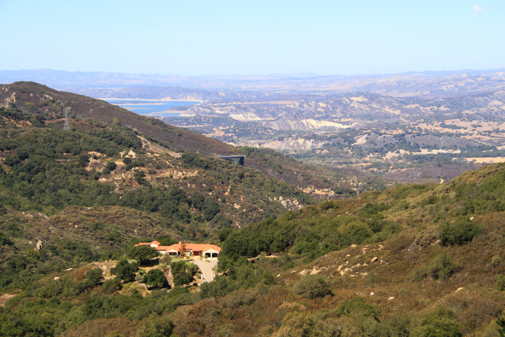
…and south over the homes along upper Painted Caves Road to the Santa Barbara airport and the open ocean.
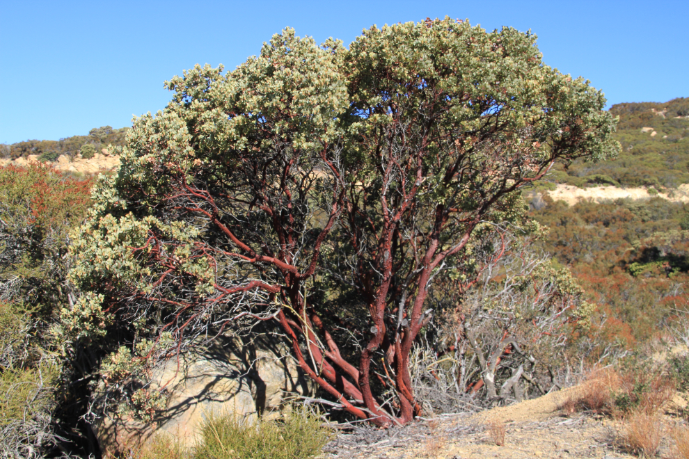
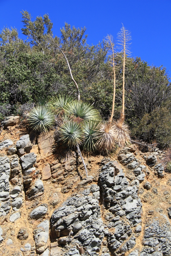
Some of the vegetation we were seeing along the road was really unique.
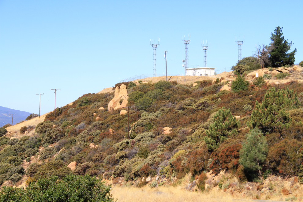
Along the top of the ridge were several airport navigation installations.
Looking down at the airport from near the summit of La Cumbre Peak, which at 3,985 feet is the highest of the Santa Ynez Mountains. This is a short walk from the East Camino Cielo Road along a gated road. I actually never saw a sign stating that the road is the East Camino Cielo Road, I found that information in my sister’s copy of Day Hikes Around Santa Barbara that evening.
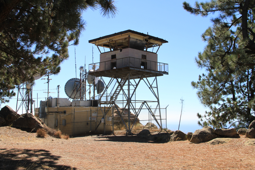
This long-abandoned fire watch tower is right at the summit of La Cumbre Peak.
I could spend a lot of time on that ridge just shooting plants and rocks.
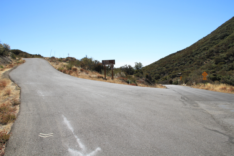
Gibraltar Road drops down to the Gibraltor Dam. This is where the main road was supposed to be closed, but it wasn’t. One of the “closed” signs refers to fire suppression debris on the road, but the last fire seems to have been in 1990 🙂
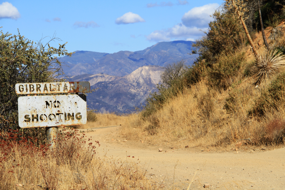
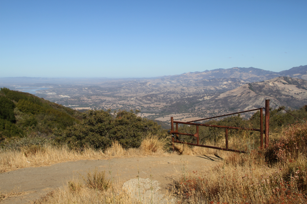
To the right, Gibraltar Road goes 7 miles into Santa Barbara – we continued to the left on what that sign says is National Forest Road 5N12.
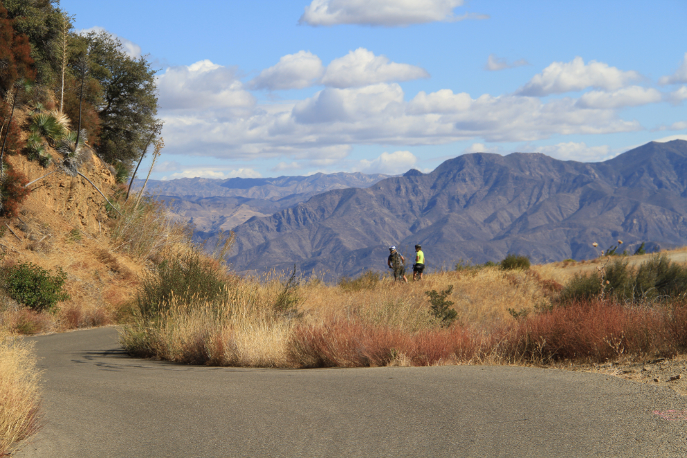
Two of the 3 cyclists we saw along the road.
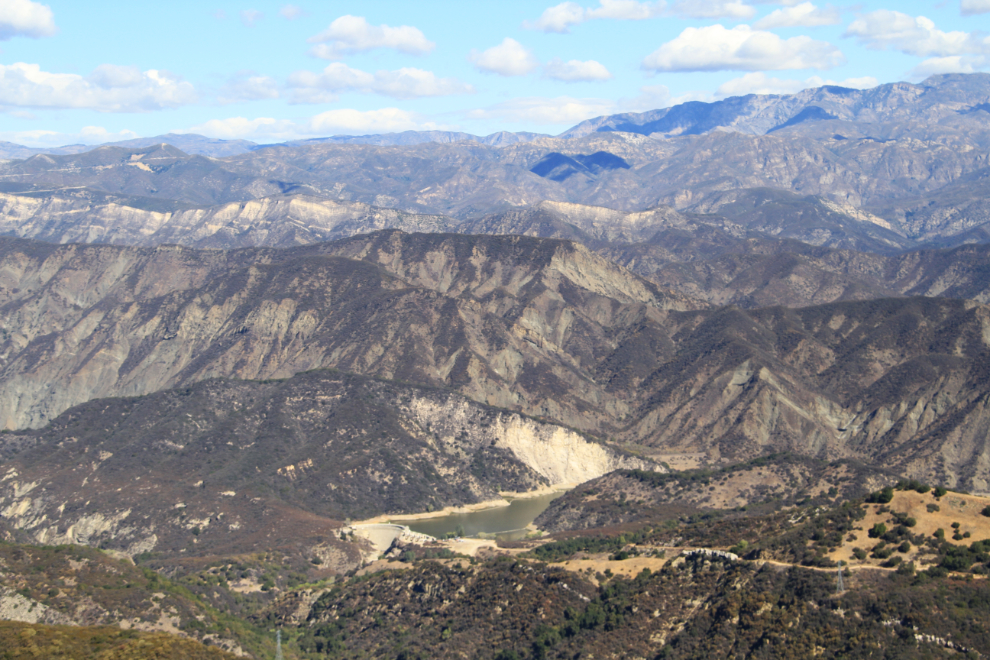
Gibraltar Dam and Reservoir. The dam is a constant radius, concrete arch dam which was originally built between 1914 and 1920 and was enlarged in 1949. It supplies about 1/3 of the City of Santa Barbara’s water through 3.7-mile-long Mission Tunnel.
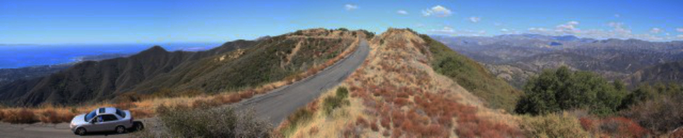
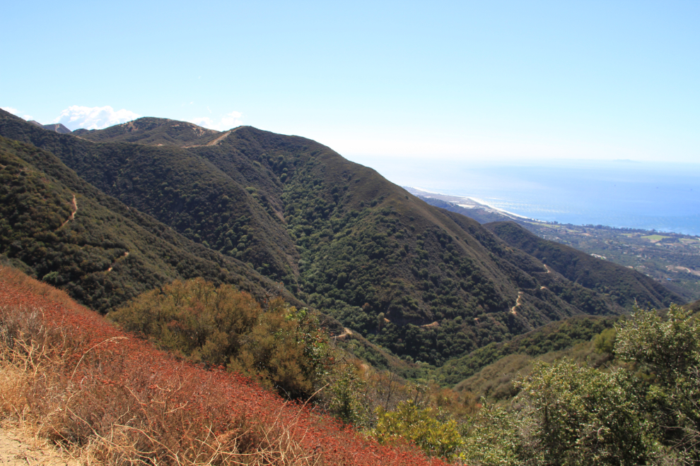
Here’s a panorama that shows how narrow the Santa Ynez Mountain ridge is, and how very different the scenery is on the two sides of it. Five images were stitched together to create this image. Click here to open a much larger version in a new window.
At 11:00 we reached the end of the pavement. I went another 1/4 mile or so and then turned around, as Dad was getting quite bored by the drive.
Looking south along the coast from the end of pavement. There were at least 2 old roads winding along the slopes below calling to me 🙂
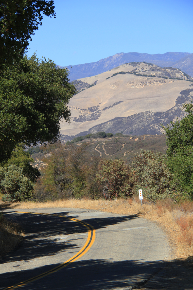
The next two shots show the sort of scenery seen through the windshield as we drove slowly (15-25 mph) north back to our starting point.
Back at the “Road Closed” sign a couple of minutes before noon, I took the short road back to Highway 154. This photo was shot along that 2-mile-long road, with the Cold Springs Arch Bridge and Cachuma Lake in the distance.
Looking for something for Dad, I suggested that we go to the Chumash Casino at Santa Ynez. Lunch was excellent, and Dad very quickly lost $10 in a slot machine before we started back to the house.
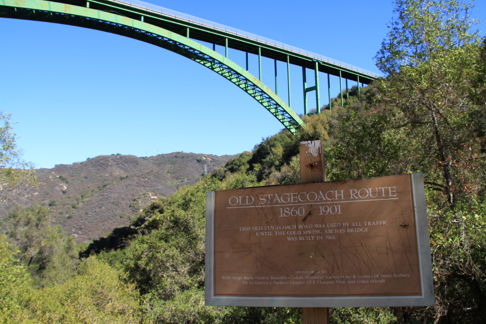
As we crossed over the Cold Springs Arch Bridge, I decided to have a better look at it, and at the Old Stagecoach Road, which is seen in this photo.
The Cold Springs Arch Bridge is even more impressive from below. Opened in 1963, it is the 5th-longest “supported deck” span arch bridge in the world – 1,214 feet (370 meters) long and 420 feet (128 meters) high.
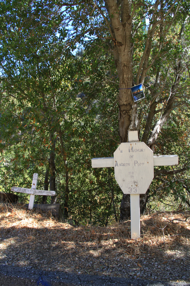
I don’t like to end a post on a negative note, but there are several memorials along the road below the bridge that I need to also tell you about. Not until I did a bit of research while writing this post did I discover that a total of 56 people have now committed suicide by jumping from the bridge. Even the very controversial, very expensive fencing along the bridge hasn’t stopped some people.
For our final full day in California, we’d be having a better look around Santa Barbara – in particular, I wanted to see the historic Mission.