Driving the Yukon-BC-Alaska Golden Circle
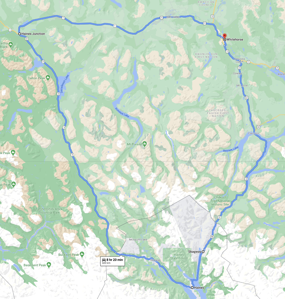
After watching the exciting start of the Yukon Quest on February 2, my tour group spent 2 days travelling around what’s known as the Golden Circle. That involves a drive from Whitehorse to Skagway, a ferry from Skagway to Haines, and a drive back to Whitehorse via Haines Junction.
Below is a map of the Golden Circle – 599 km, expected to take a total of almost 9 hours because of the ferry from Skagway to Haines. To open an interactive version in a new window, click here.
It was -34°C (-29°F) in Whitehorse when we departed on Sunday morning, and half an hour down the South Klondike Highway the thermometer in the van read an even -40°C (which is also -40°F). With the wind that was blowing, the wind chill was almost certainly into the -50sC/-60sF.
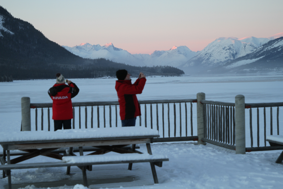
Our photo stops were few and very short due to the cold. The longest stop was at the deck overlooking Lake Bennett at Carcross.
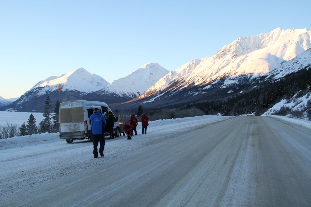
The large viewing area pullout along Tutshi Lake was our next stop. It provides broad and spectacular views in every direction.
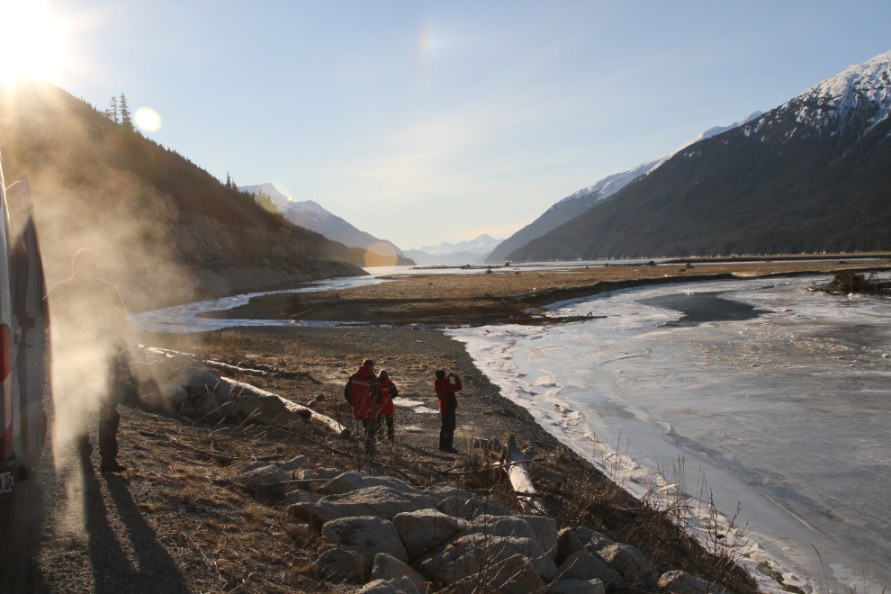
We checked in at the Skagway ferry terminal, and went for a good lunch at the Sweet Tooth Cafe. Then, with some spare time still, drove out to Dyea. The road to the townsite and beach was too icy to take a 2-wheel-drive van out, but the Dyea Road is wonderfully scenic anyway. In the next photo, the ice on the tide-influenced Taiya River was making a lot of noise as the tide changed.
Back in Skagway, we had a quick look at the Gold Rush Cemetery, then got into position for loading at the ferry terminal. Just before 1:00 pm, our ferry came into view, coming north at full speed.
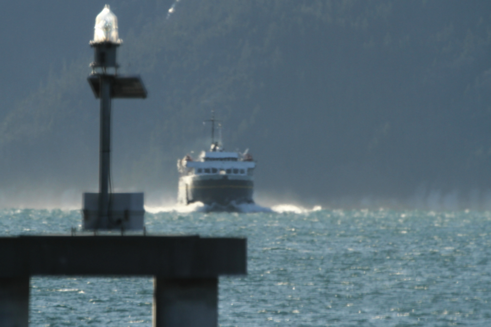
Unloading and reloading the ferry, the little MV LeConte, is a slow process, but at 2:00 pm as scheduled, we left for the 1-hour voyage to Haines. The LeConte is 235 feet long, and carries 235 passengers and about 33 cars, but there were only 3 vehicles on board, and one of them was dragged on by a pickup which then left.
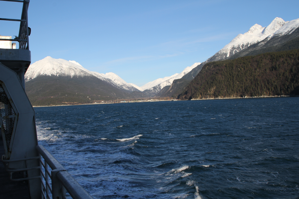
It was too cold to be on the outside decks for more than a minute, but what views! I went up to the solarium, a wonderful place to both enjoy the view and meet people (and on longer voyages, even to set your tent up), but it was a sheet of ice and roped off.
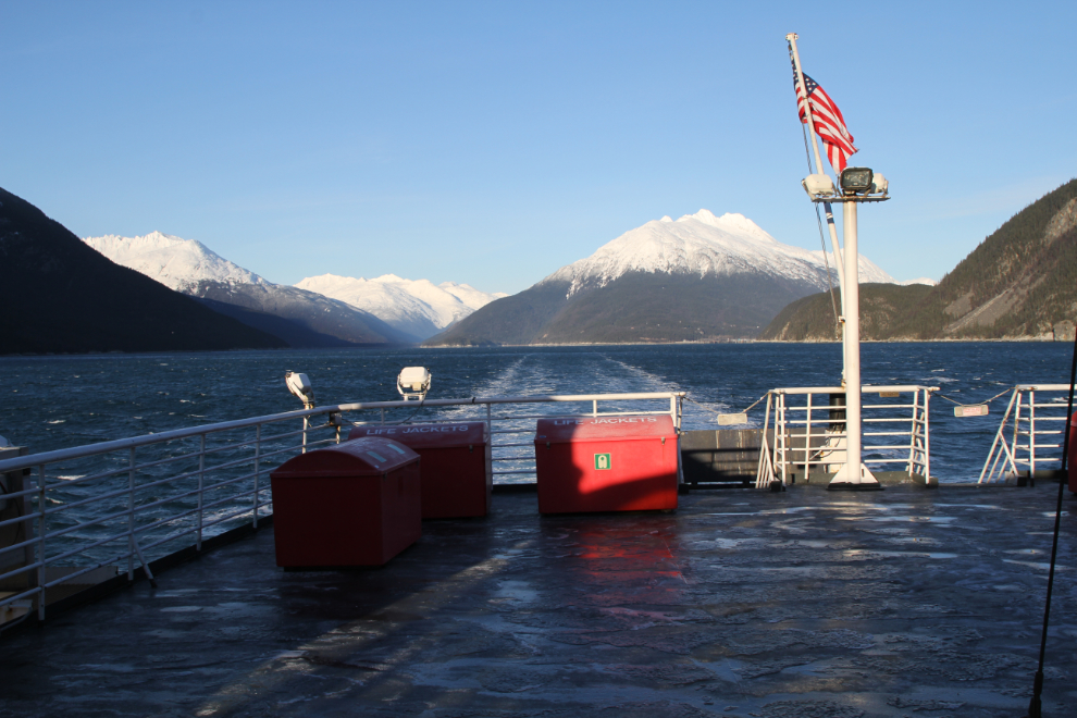
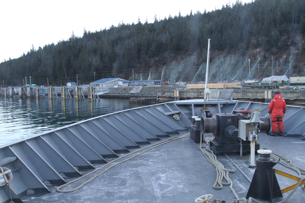
Five minutes before our scheduled 3:00 arrival, we were inching into the dock. Once off, it’s only 4½ miles to downtown Haines.
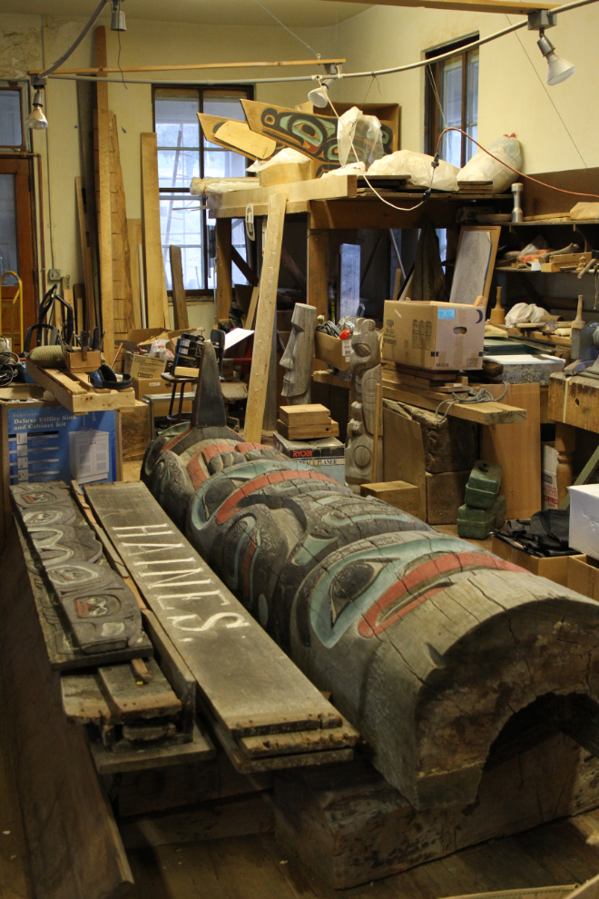
Our first stop in Haines was at Alaska Indian Arts. Located in the 1904 hospital at Fort William H. Seward, it’s a fascinating facility, established for the creation and restoration of Native art of all sorts, though mostly in wood. The pole being restored in the next photo is part of the “Welcome to Haines” sign.
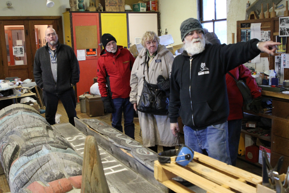
Lee Heinmiller, a director at the center and the driving force behind it, gave us an excellent talk about the centre and a wide range of associated subjects. Lee is a fascinating guy, and it sometimes sounds like his head is going to explode because of all the information stored in it 🙂
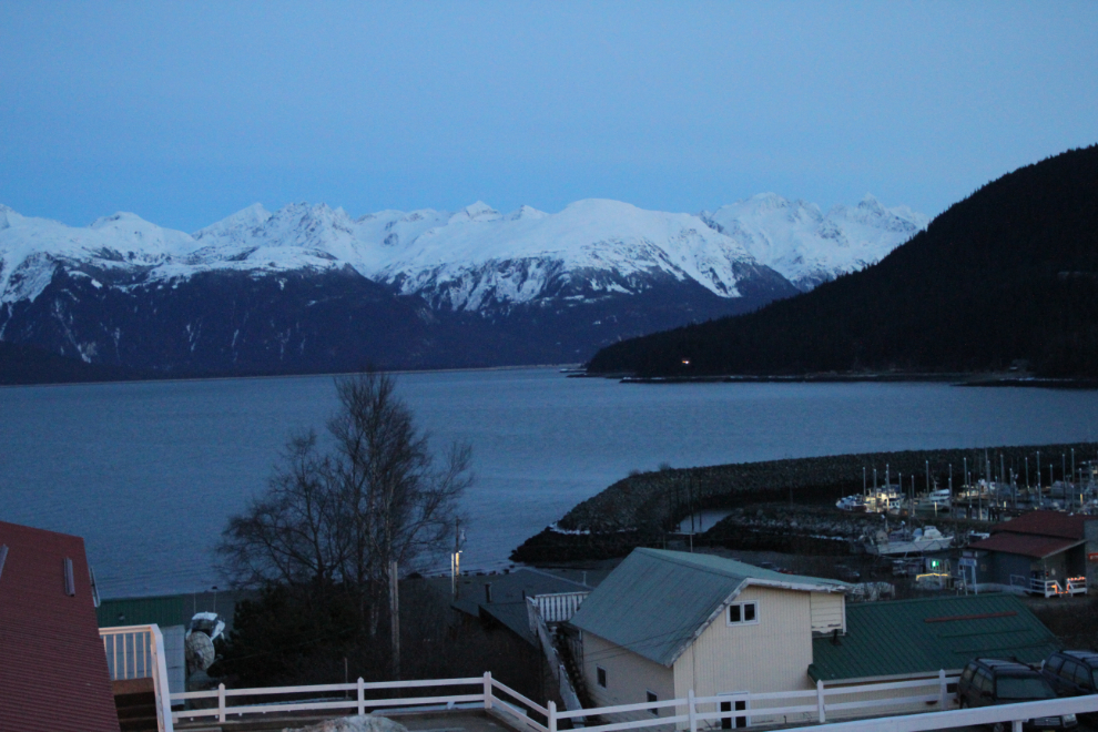
By 5:00 we were settled in our rooms at the Captain’s Choice Motel. The rooms were all redone in 1997, making my favourite accommodation in Haines even better. The view across Chilkat Inlet from every room is stunning.
At 6:00 we walked across the street to the Bamboo Room for dinner. The halibut and chips there never disappoints me. A Haines friend came for a short visit – I almost always hike solo, but Greg is my main hiking buddy when I do have company. We seldom get together in the winter, so it was really nice to have this opportunity to see him.
We were in no hurry to leave on Monday morning. We had a leisurely Continental breakfast at the motel, and Mother Nature treated us to a spectacular sunrise.
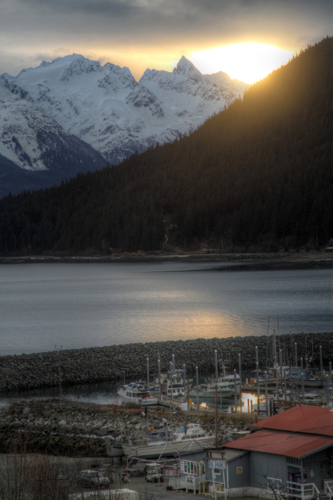
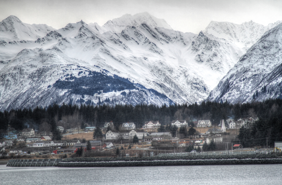
Several of the folks wanted to check out an outdoors shop in Haines, so I dropped them off, and while they were shopping/browsing, I took a couple of my guests to see a bit more of Haines. In the next photo, historic Fort William H. Seward is the main feature.
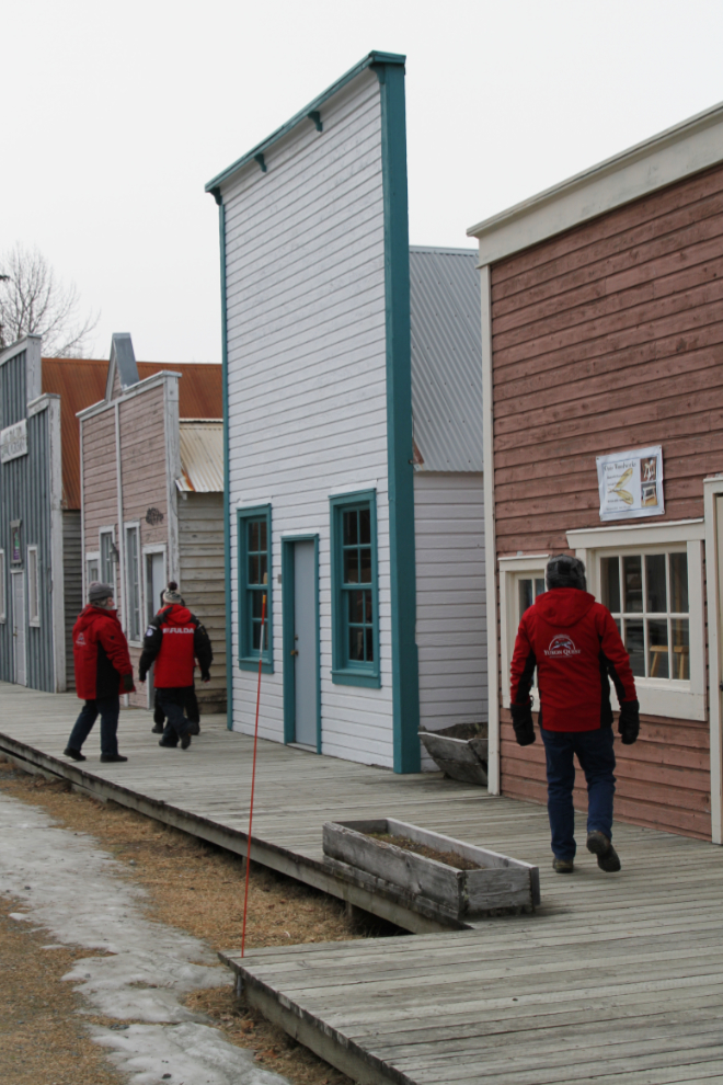
Our next stop was at the Southeast Alaska Fairgrounds to see Dalton City, the frontier town that was built for the filming of Disney’s “White Fang” in 1990. While most of the buildings are usable for shops, some structures like the Dalton Transfers Stage Line building are only 2 feet deep.
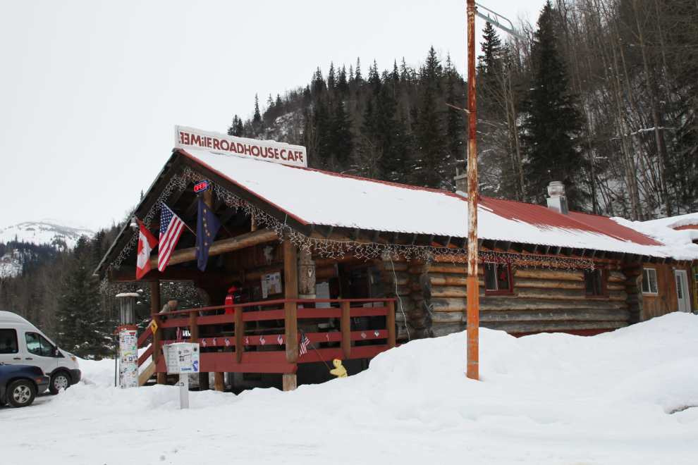
Part of the reason for our rather late departure was so we could stop at the 33 Mile Roadhouse for coffee (and a piece of pie for most of us). The “schedule” got modified a bit when, about 20 miles out, tour manager Roland realized that we’d forgotten our box lunches and we had to go back and get them. Whoops! 🙂
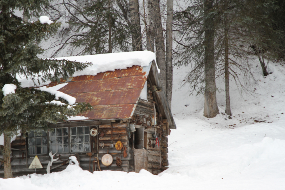
This old tin-roofed log cabin behind the roadhouse is a fairly common photo subject for me.
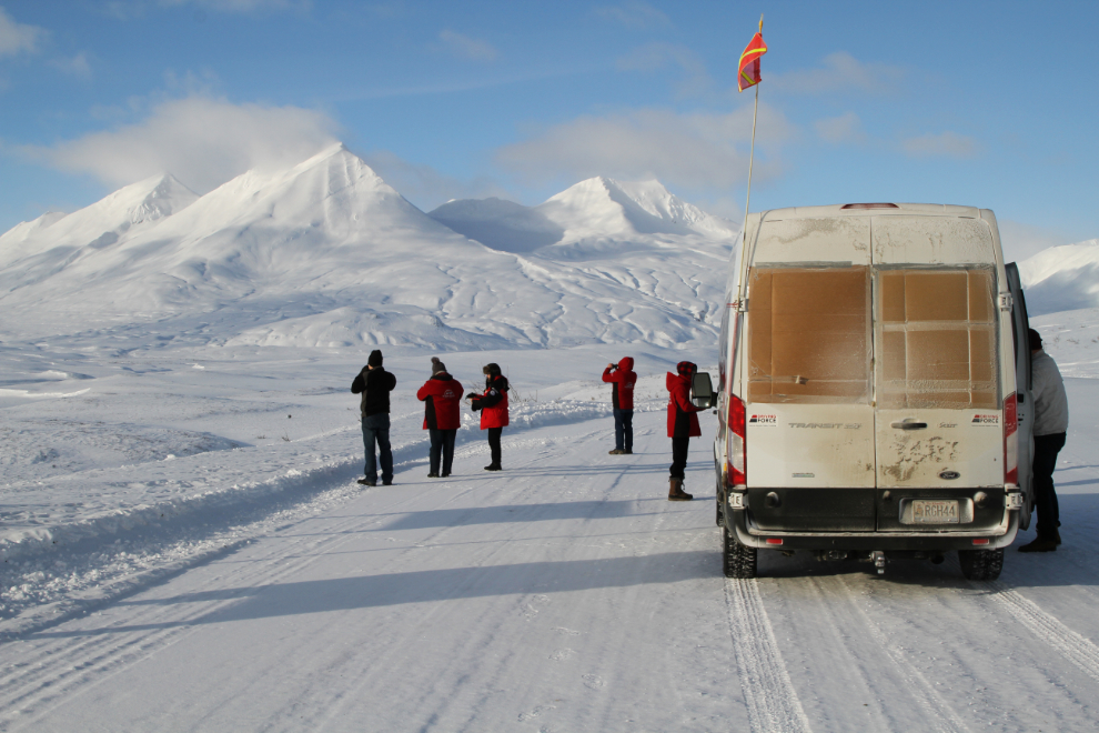
It was looking like many of the Haines Summit peaks were going to be hidden by clouds, but as we approached, the skies cleared. If we hadn’t had to return for the lunches, we may have missed this! 🙂
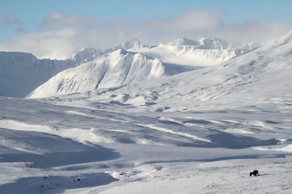
Stops like this almost leave me speechless. On days like this, it really feels like being able to share my little piece of the world with people is a privilege. Many Yukoners – probably most Yukoners, in fact – will never see this.
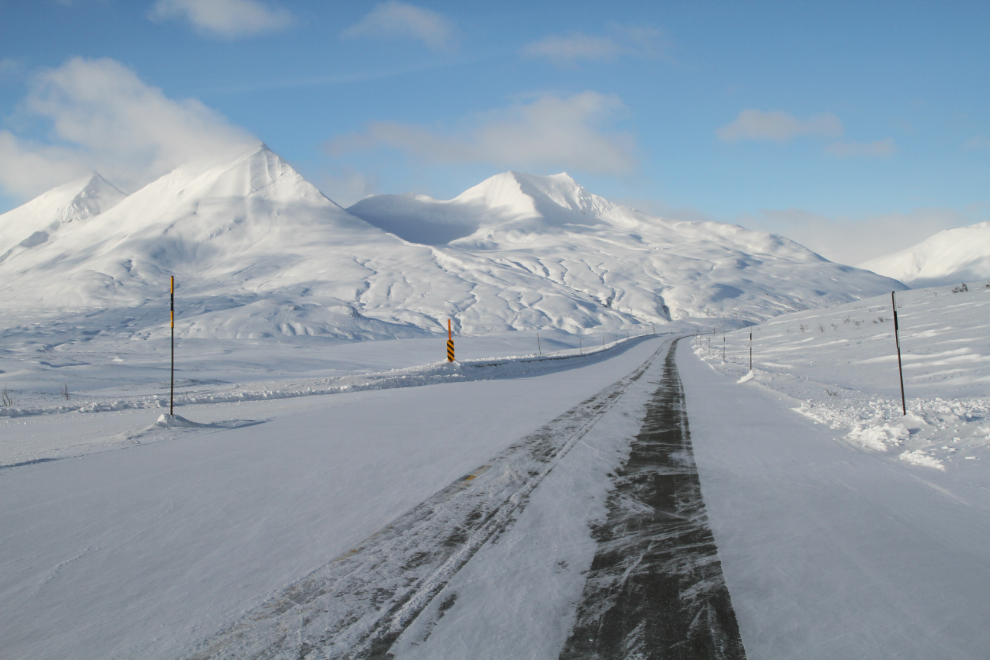
The view north on the Haines Highway the summit. On the Easter long weekend, snowmobilers from all over the Yukon, Alaska, BC, and even Alberta converge on the Haines Summit, and a large village of campers appears. You can see what that looks like that in my Spring Snowmobiling article, originally written for Destination BC.
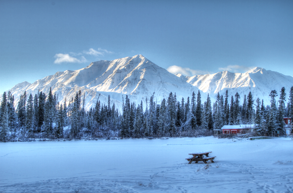
We stopped at Kathleen Lake to eat our box lunches. A picnic at -18°C seemed to be a new experience for most of my guests 🙂
We were back at the Best Western Gold Rush in Whitehorse that evening, and all had preparations to make for the journey to Dawson the next day to re-join the Yukon Quest