Driving the Hope-Princeton Highway, Hope to Hedley
The parking lot at the Hope Slide was a great place to overnight, although there was some noise from the truck brake check stop below us.
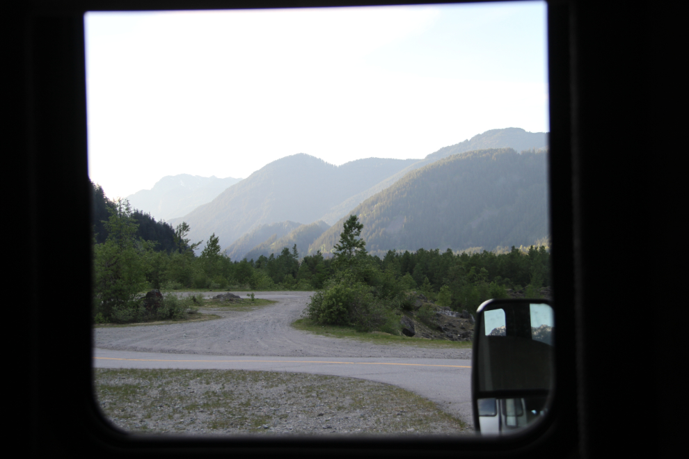
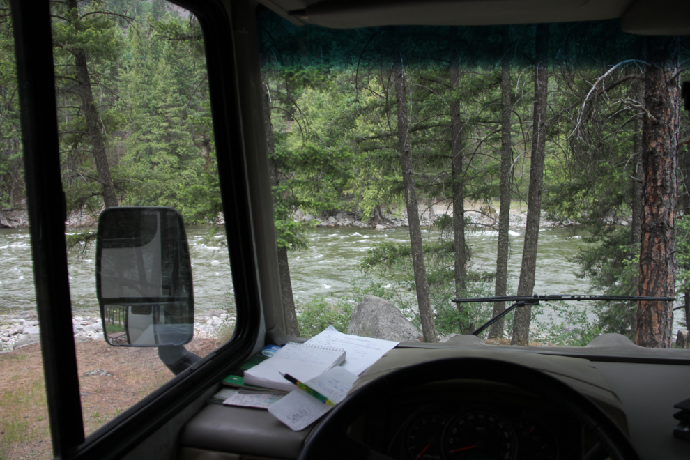
As Day 18, Wednesday, May 11th, began, this was the view from the little window straight ahead of me at the table I write at, at 07:30. This is country I know very well from my 40 years living in the Fraser Valley, and it felt really good to be back with time to relax and enjoy it.
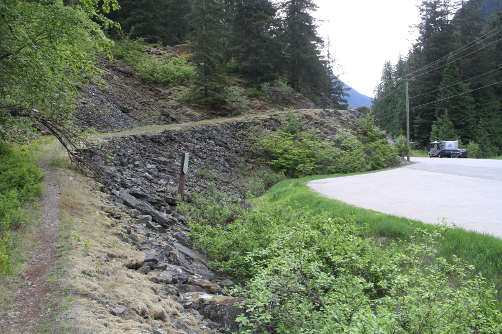
This historic site was a big deal when I was young, and I noted that there’s not even a sign saying that it’s ahead, so I can’t imagine many people stop at it anymore. And it’s a big deal in BC history: “ENGINEER’S ROAD – A Wagon Road Across B.C. – This was the ambitious scheme of the Royal Engineers in the 1860’s as miners clamoured for better access to the Southern Interior. Sent from England, these military engineers replaced the first 256 miles of the Dewdney Trail with a wagon road. Their work halted when attention shifted to the gold-rich Cariboo.” This was probably one of the first of these heritage slides to be installed, in 1958, I believe. I walked up the old road a couple of hundred yards until it petered out in the forest. A hiking trail does use 32 km of the Dewdney Trail in this area, though.
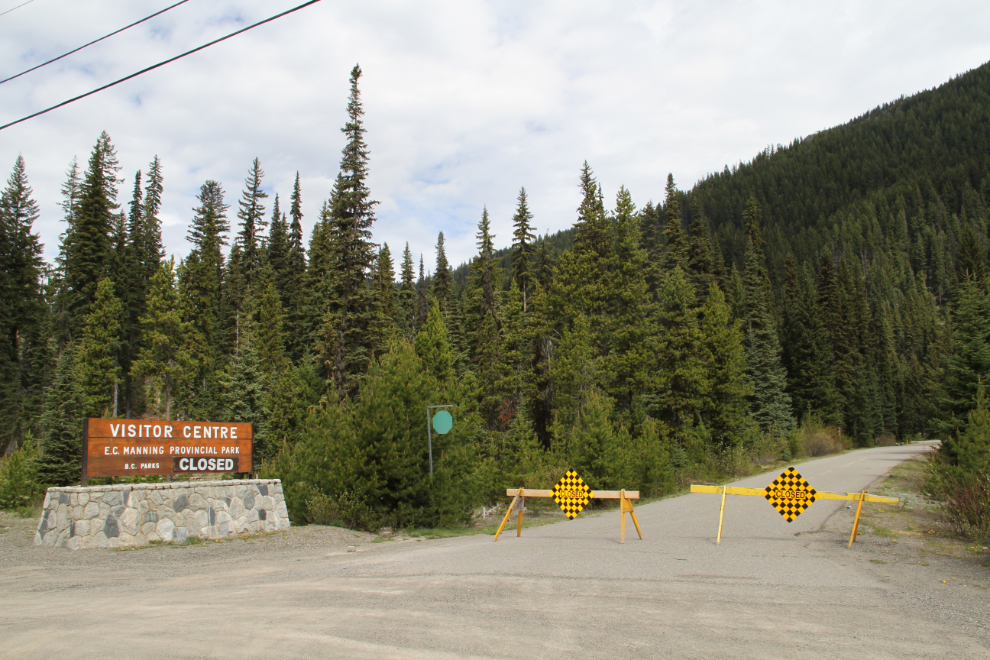
I thought that we might spend some time in Manning Park. But we’d not be getting any help to do that.
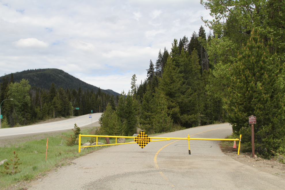
Okay, I’ll take the Tracker up to an exceptional viewpoint in the alpine meadows several km off in the mountains. Or not. I did think seriously about driving through the ditch and around the gate, but it’s very visible, right across from the lodge, which is open.
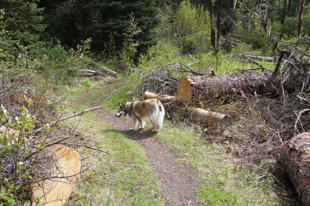
I took Bella and Tucker for a walk at the Beaver Pond Trail, but it wasn’t very good. I chatted briefly there with a couple who had come from Holland and rented an RV – they were both surprised and unhappy to find so many things closed.
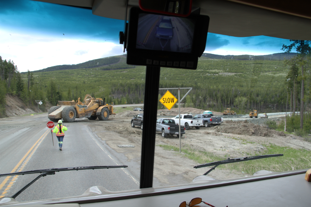
At about 11:30, a few minutes before reaching this construction near Sunday Summit, I had barely missed a deer, by braking hard. The oncoming Jeep hit her hard. I didn’t stop. My cupboard re-organization and rebuilds worked – nothing fell out this time. This major highway rebuild project is going to get rid of the worst hills and tight corners on about 10 km of what has always been a very bad stretch of road.
I stopped in Princeton for a burger at Billy’s Family Restaurant – good food at good prices with very friendly staff. Just what I needed.
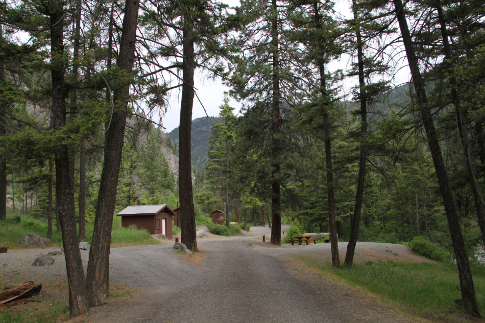
One of the possible overnight stops was Bromley Rock Provincial Park. We got there at 1:45, went for a walk, then unhooked the Tracker to go exploring further.
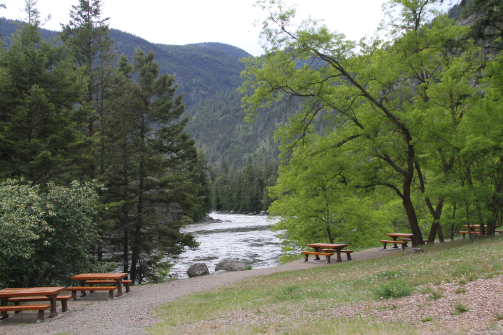
The park is really lovely, and in the summer the sandy beach, and the large rock to jump into a deep pool in the Similkameen River from, make it very popular. The Campground was okay, but the highway noise was bad.
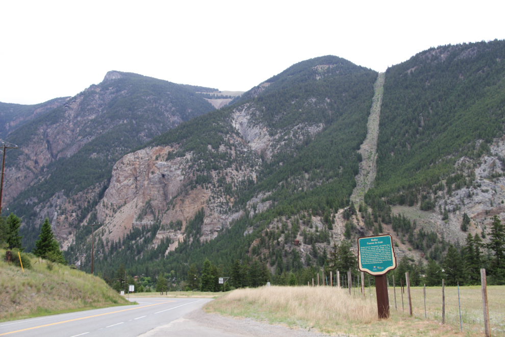
The old mining town of Hedley, where I’ve spent many, many days exploring the hills. The heritage site sign says: “Hedley, Famous For Gold. Nestled between Stemwinder and Nickel Plate Mountains, the historic gold mining town of Hedley sprang up shortly after the yellow precious metal was discovered here in 1897. The town was named after Robert R. Hedley, mining engineer. Both the mountain top Hedley Mascot and Nickel Plate mines extracted millions worth of gold, silver and copper before finally closing in the 1950s after the ore body was exhausted. Today tourism brings new life to the town famous for gold.”
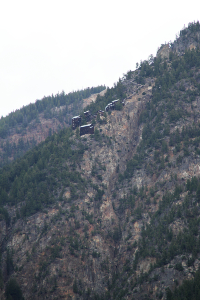
Perched on the mountain high about the town, the Hedley Mascot Mine. I had a slim hope that the tours that are heavily advertised would be open, but no luck. I heard later that they won’t be opening until Canada Day (July 1st) this year, instead of Victoria Day (May 24th) – the operation loses money, and a smaller government grant has limited their opening period this year.
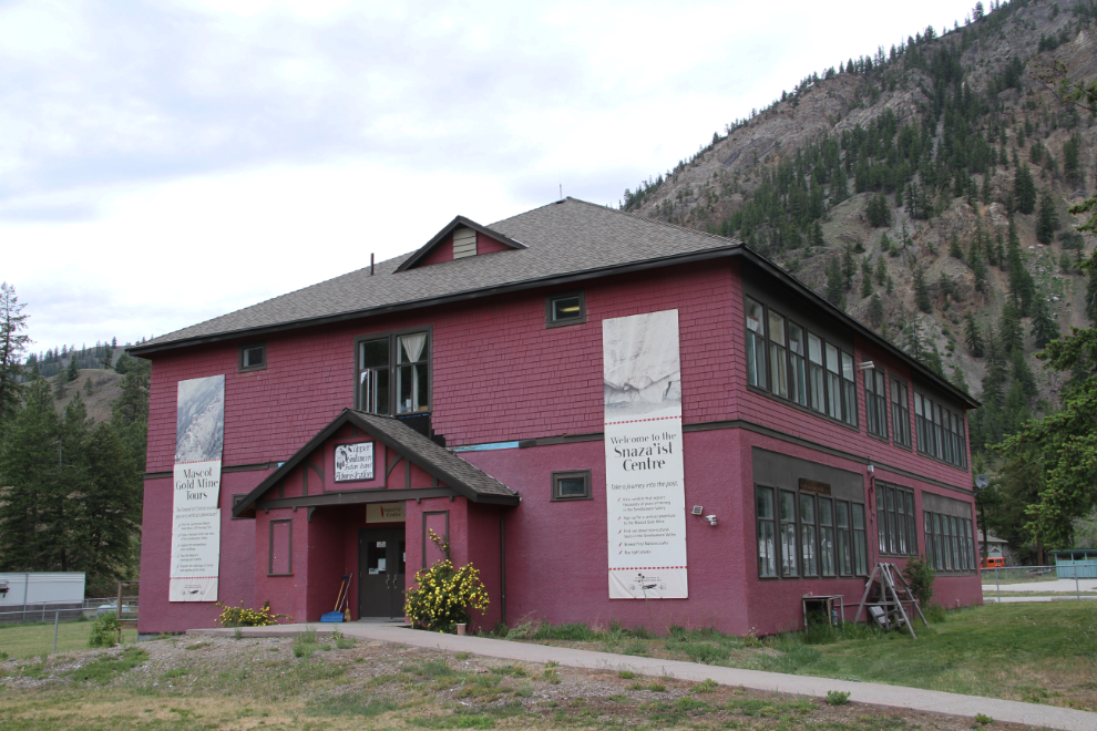
The old Hedley School is now the Snaza’ist Discovery Centre, a Native centre operated by the Upper Similkameen Indian Band, with a museum and the mine tours.
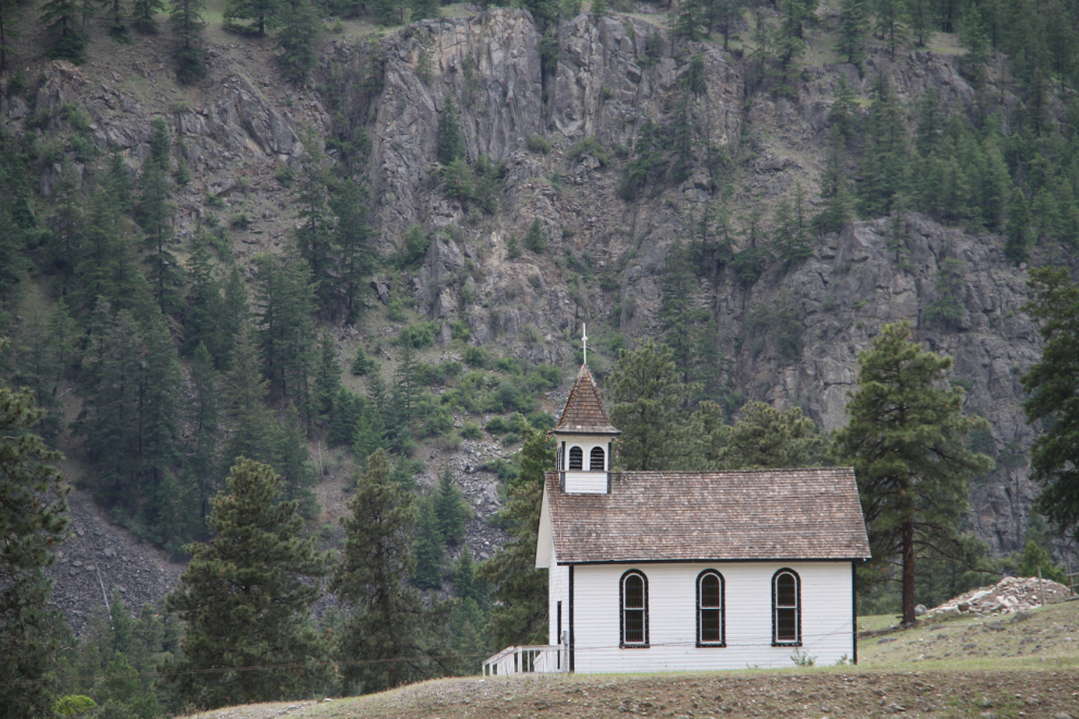
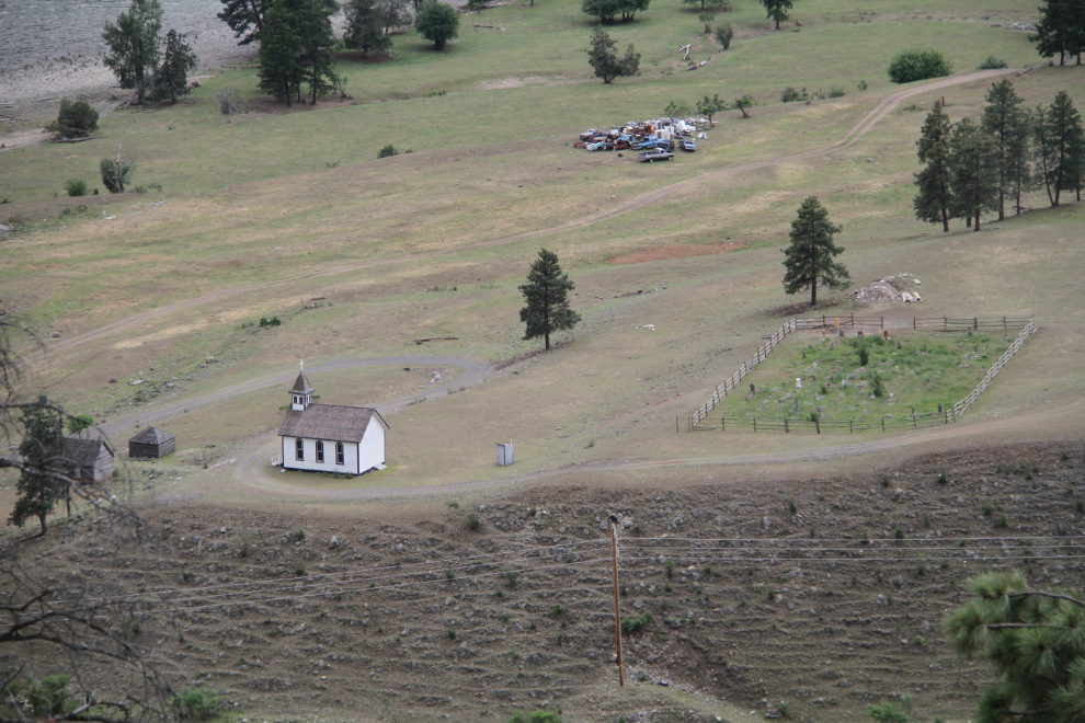
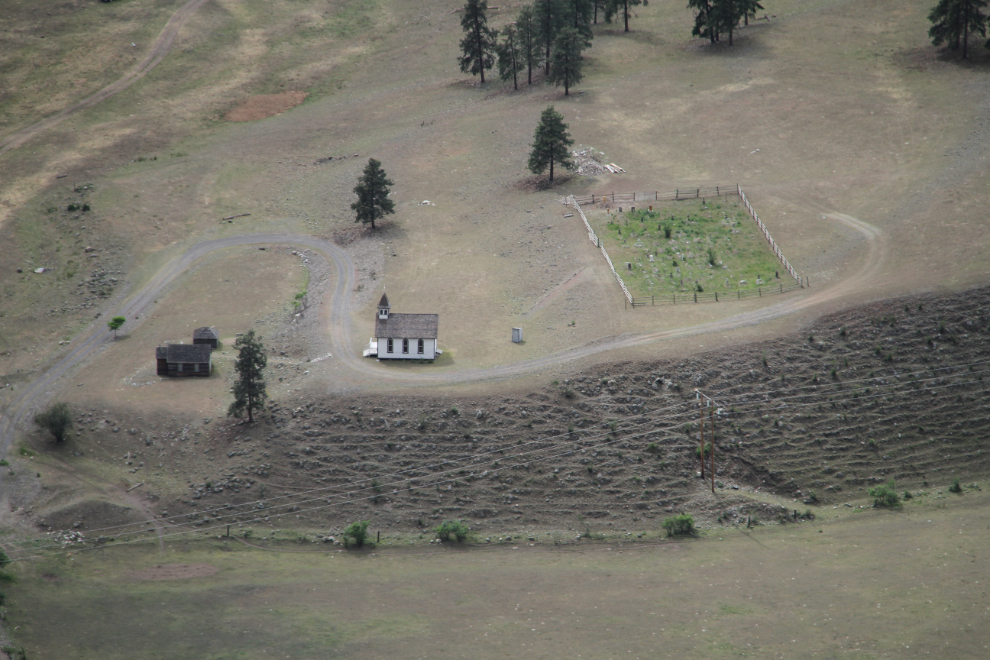
St. Ann’s Roman Catholic Church is one of the most photogenic in BC. Ii was built about 1910-11 in the village of Chuchuwayha, just east of Hedley. Hedley was actually built in the middle of the Chuchuwayha Indian Reserve.
I’ve been up the spectacular Nickel Plate Road many times over the years, and this looked like a good day for another look. The road is suitable for any vehicle, and any driver with good nerves 🙂 We didn’t start up unti 2:45, so not much time was available for exploring.
An aerial perspective on St. Ann’s.
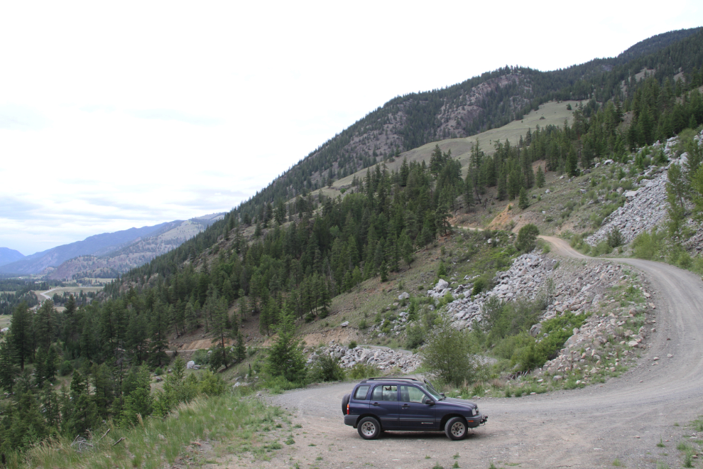
Starting into a small old mining area, with drill holes visible all along the cliffs.
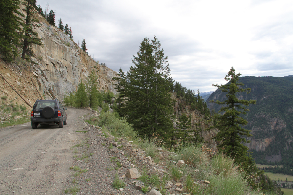
Higher and higher.
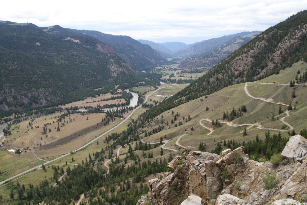
This is the classic Nickel Plate Road photo location – photos like this have been featured in countless publications. This is at about Km 6 from the highway.
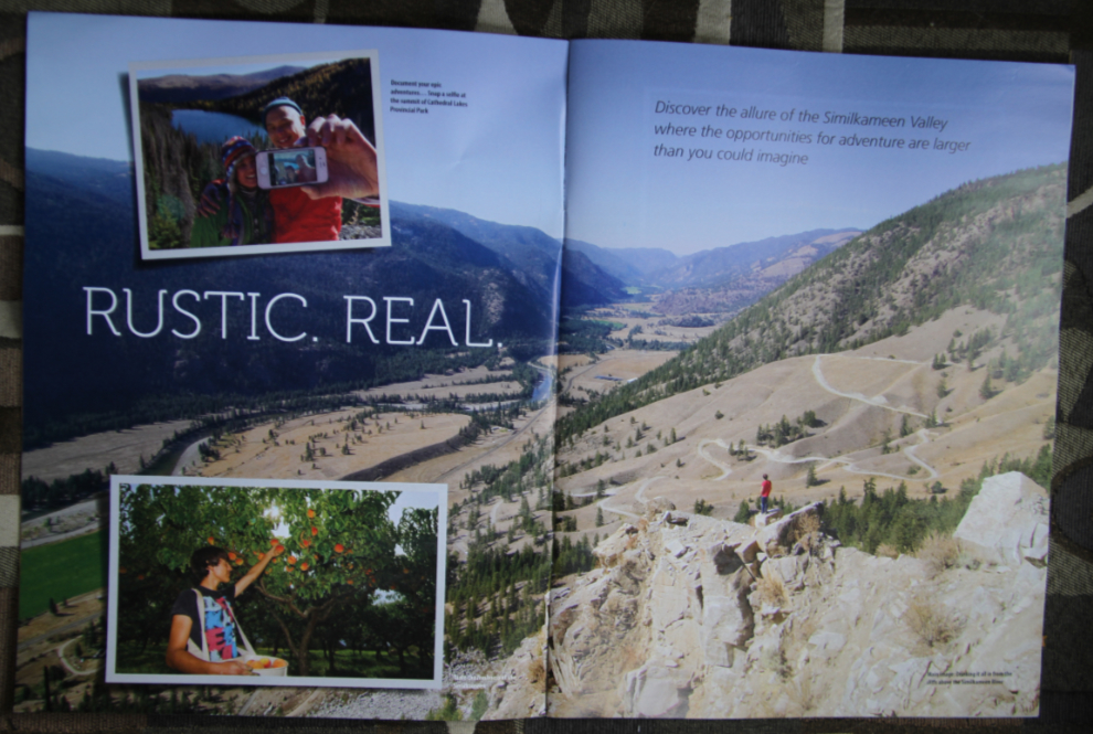
The photo location above, in the current Similkameen Valley Travel Experiences Guide.
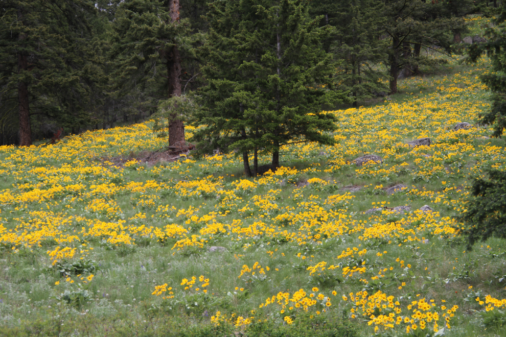
These slopes used to be full of cows and marmots – today, flowers took their place.
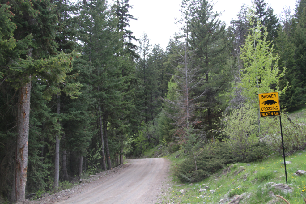
I keep seeing badger crossing signs in BC, but have never in my life seen a badger.
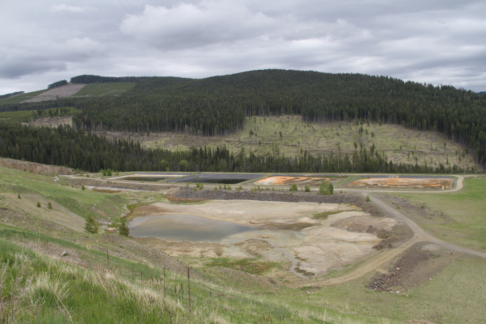
This huge tailings pond is new since my last visit, I think. That would make my last visit a very long time ago. This is at about Km 11 from the highway.
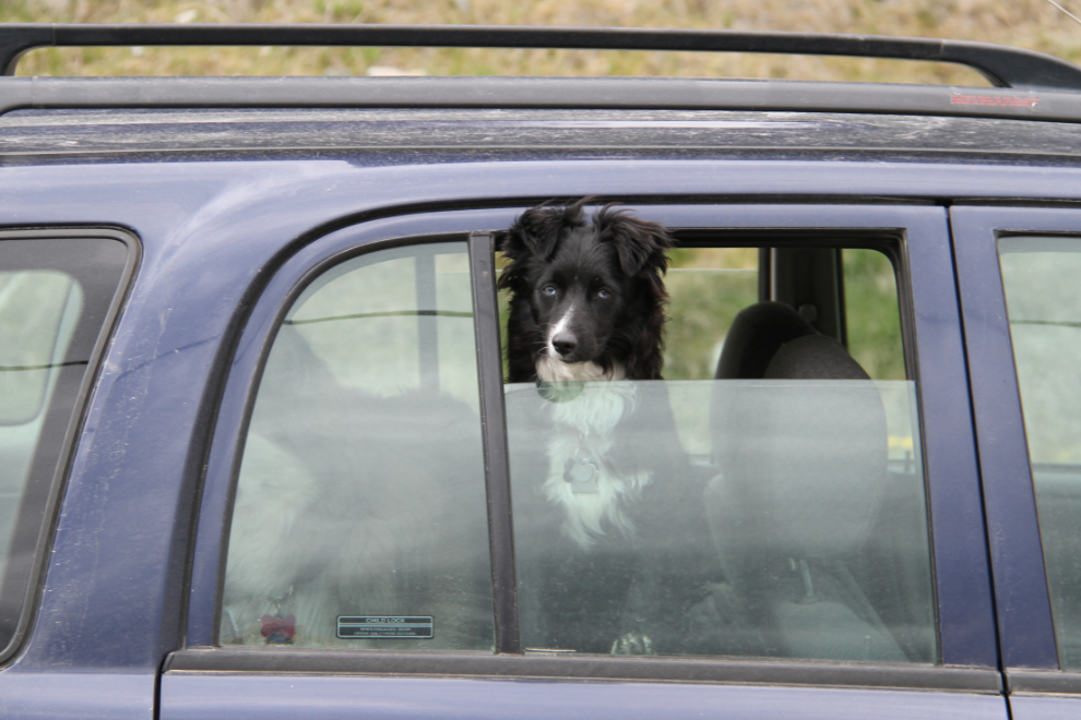
Tucker was enjoying himself, but Bella would rather be laying in something soft that didn’t move.
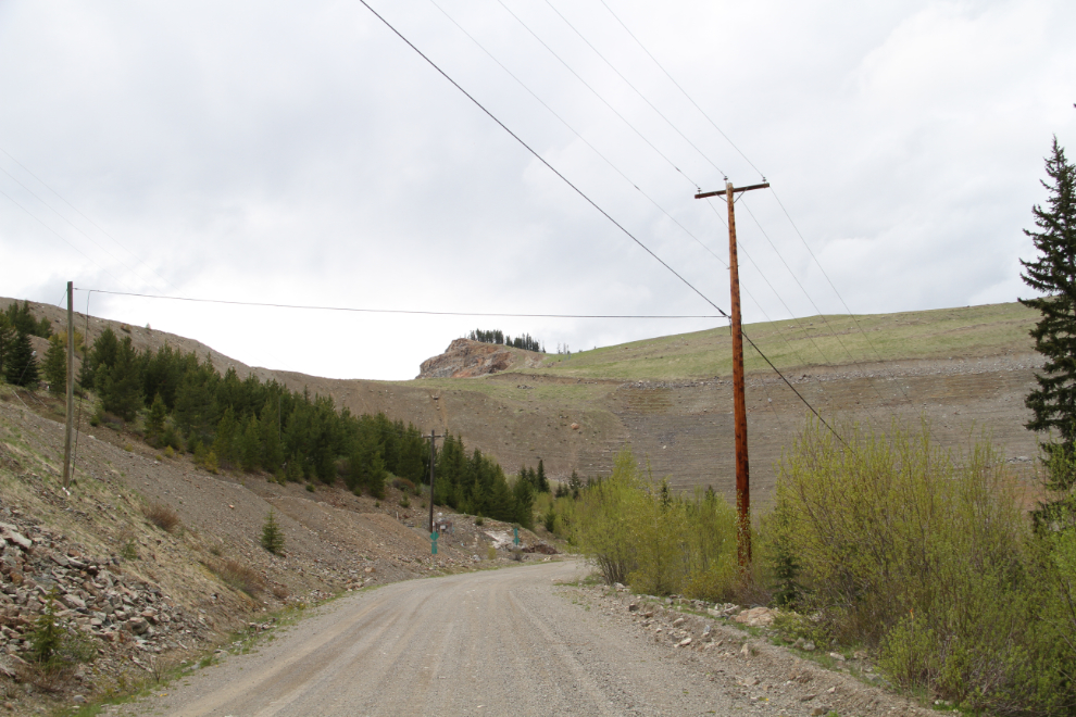
All of a sudden there was a mine waste pile towering over 200 feet above the road.
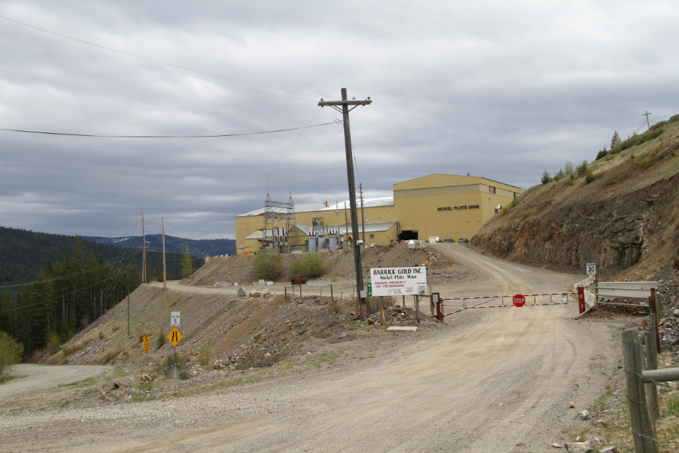
Barrick Gold’s Nickel Plate Mine, the latest of the mines by that name, closed a few years ago.
Heading back down, looking down the Similkameen River valley, at 3:45.
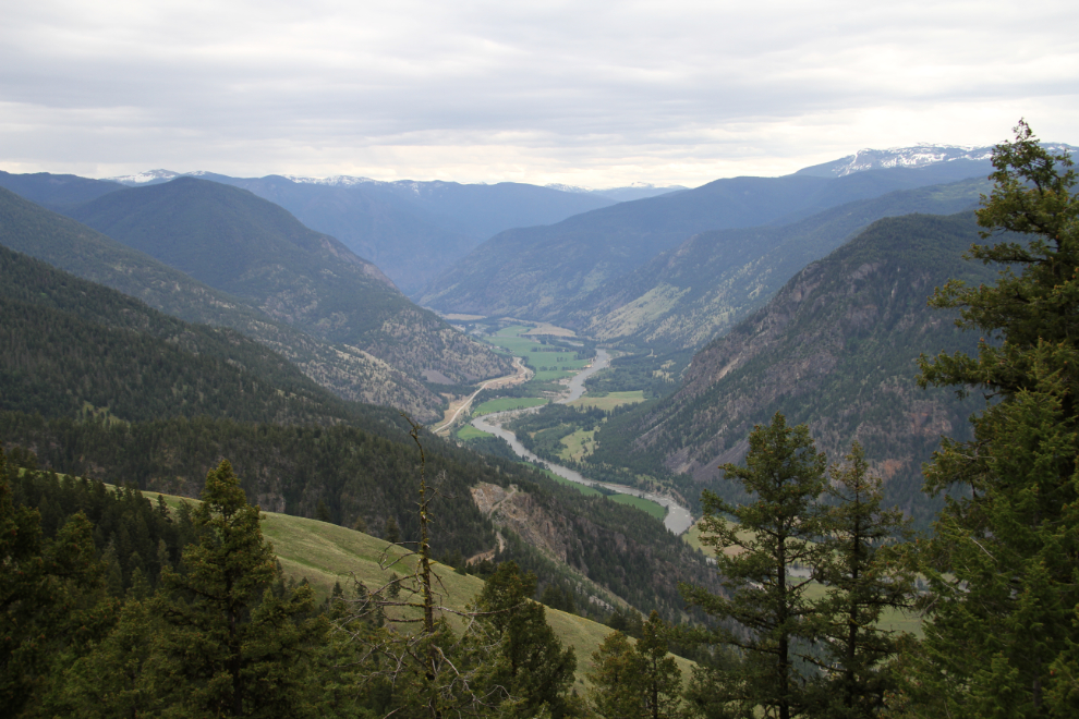
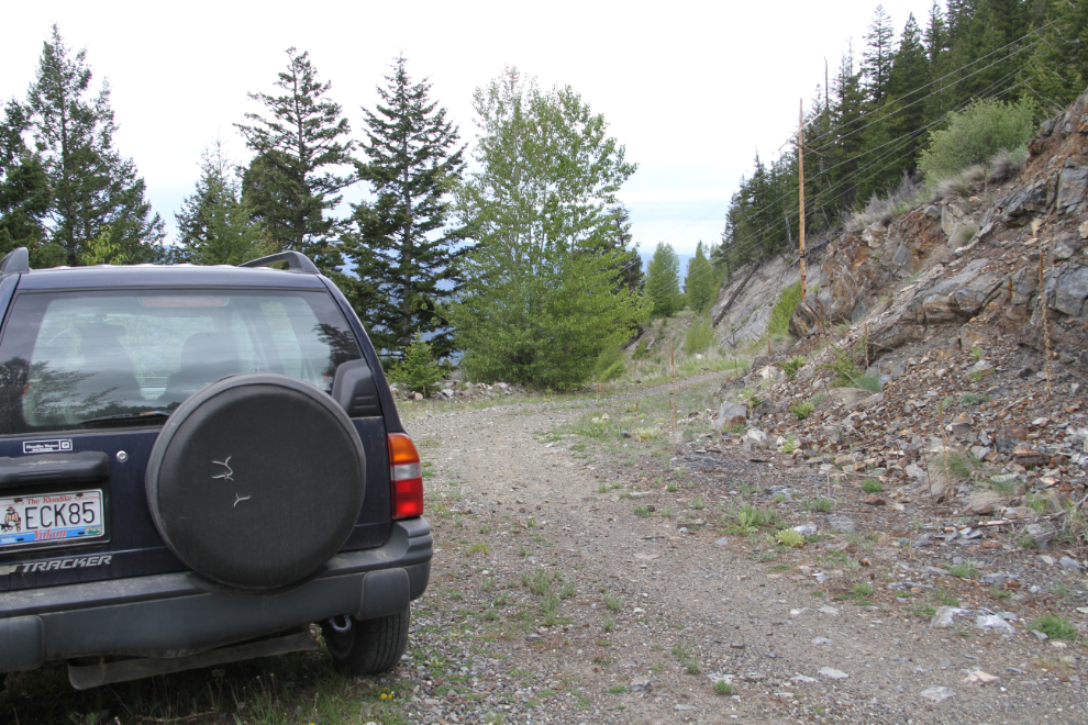
I’d been trying to remember where the little road that leads to the Hedley Mascot Mine was – I think this is it.
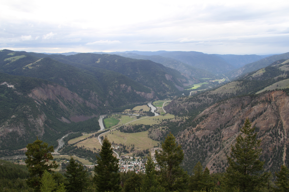
By the time I reached this point, looking up the Similkameen River valley with Hedley directly below, I was sure that this was the right road, but there was really no time to continue.
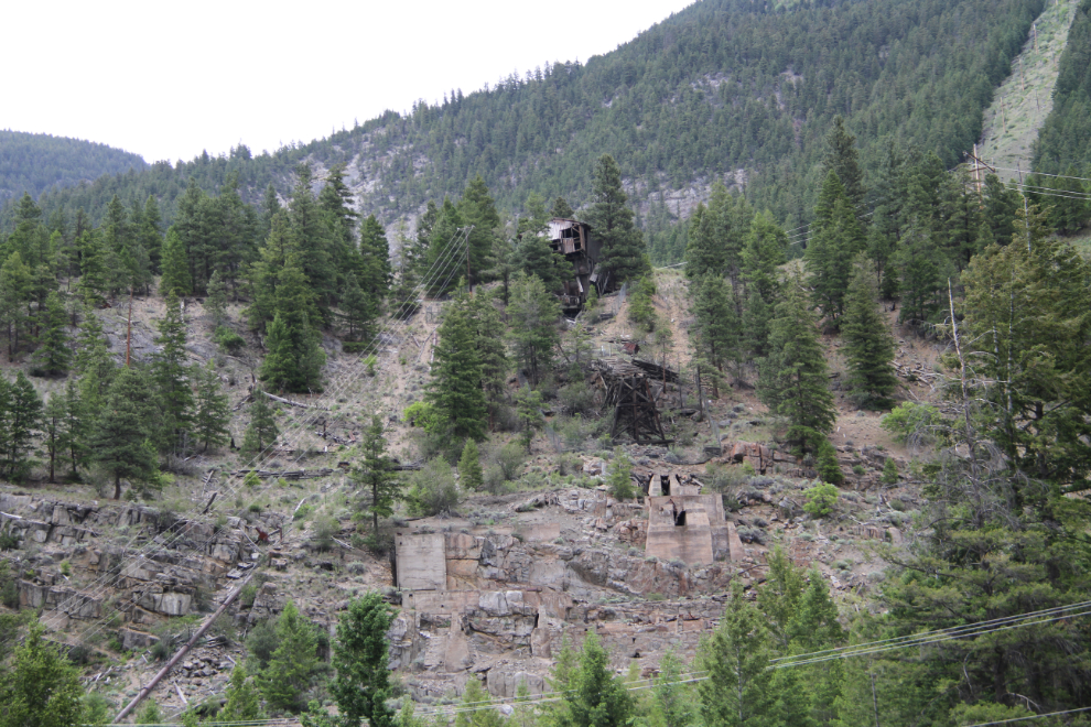
Back in Hedley. I remember when there was a large mine building on those concrete foundations – it burned, probably in the early 1970s.
I went back to Bromley Rock, hooked the Tracker up to the motorhome, and moved to Stemwinder Provincial Park, where I got a site with this view out the window. I had stopped at an RV park, but a Good Sam group was there and it was very crowded – for $13 less, this was much better. While there was no cell service at Bromley Rock, there was a connection here. Barely, but enough to talk to Cathy for a few minutes before the call got dropped.
The next day would just be a short run of 138 km to Bear Creek Provincial Park in West Kelowna. I’d be there for 7 nights, and Cathy would join us.
