Driving the Great Northern Circle Route in the Winter
This article was originally written for the Destination BC Blog, but when that was closed, I moved it here, under the same date.
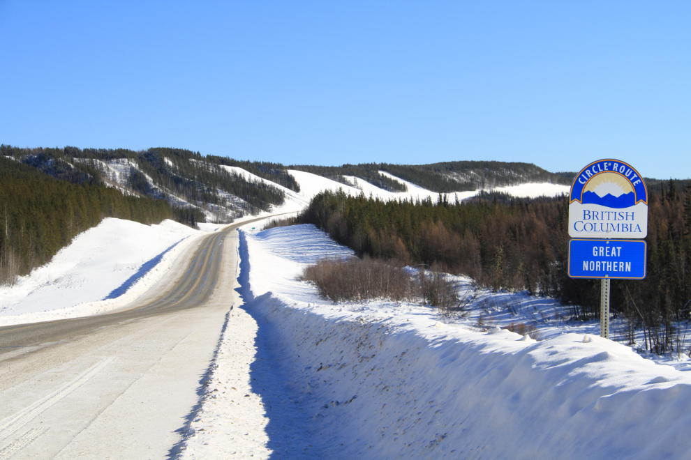
British Columbia has 9 main circle routes that take drivers through an incredible variety of country, from the sea and rainforests to deserts and volcanic lava flows. The longest of these routes is the Great Northern Circle Route, which is at least 2,594 km (1,612 miles) long, and can be much longer if you take some of the side roads.
While the vast majority of people will make this 8-14-day journey in the summer, a winter trip offers some superb experiences. In late February and early March I made the loop again and would like share some of the experiences from this trip.
Because most people live south of Prince George, that city is the usual starting point for this route, but I started from my home in Whitehorse. For me, the access point for the circle route is the junction of the Alaska and Stewart-Cassiar Highways (#97 and 37), just west of Watson Lake, Yukon. As it roughly follows the Liard River, the Alaska Highway wanders back and forth across the BC/Yukon border several times.
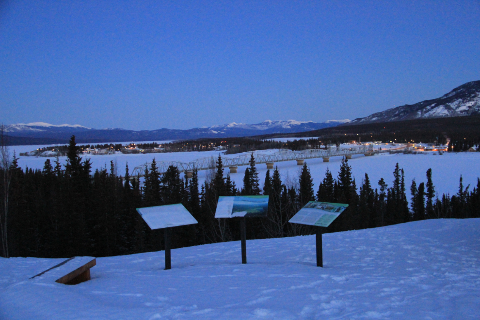
One of the challenges of winter travel is the shorter hours of daylight, but for photographers that can also be an advantage, as it’s much more convenient to see the wonderful light of dawn, as at Teslin in the next photo.
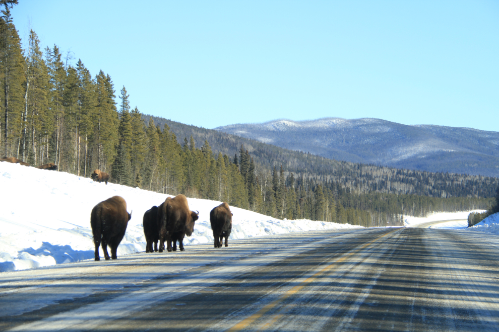
While caribou are often seen, the first large animals that are virtually always seen are wood bison (Bison bison athabascae). They used to be seen fairly close to the Liard River bridge at Km 763, but their range has dramatically increased in recent years and they can now be seen from Watson Lake to Toad River, a distance of 325 km (202 miles). It’s very common to see them on the highway, sometimes completely blocking the road, and extra caution needs to be exercised in this region.
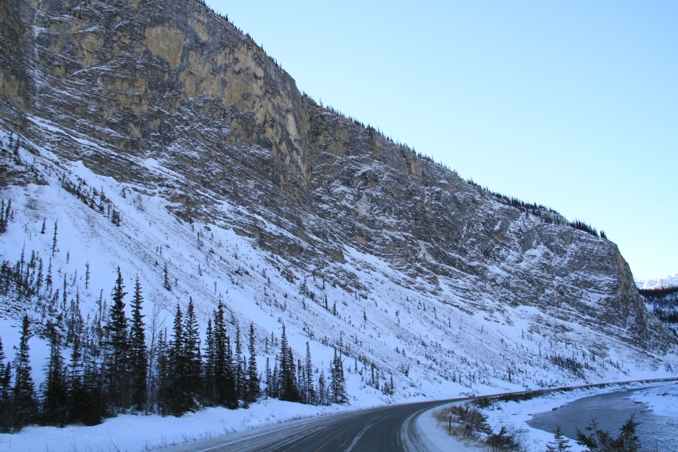
This distinctive view at Km 779, with the Liard River on the right, is always my sign that we’re now in the northernmost extension of the Rocky Mountains and Liard Hot Springs is coming up soon (less than 14 km away).

Liard River Hotsprings in the winter is a very special place. This short video I shot may help show you why better than still pictures.
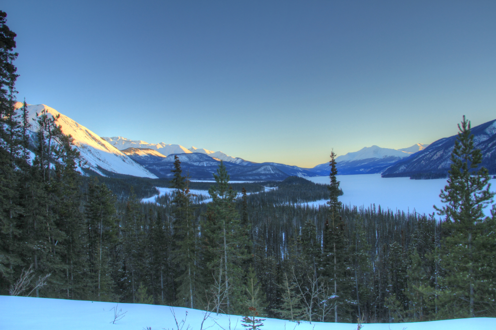
Muncho Lake, 12 km long, is certainly one of the stars in northern BC in any season, and the colour of the light near sunset on this trip was superb.
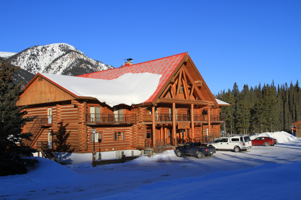
While there aren’t a large number of options for accommodations along much of this route, there are some excellent ones. Whenever possible, I spend a night at the beautifully-crafted Northern Rockies Lodge on Muncho Lake. The spectacular limestone mountains surrounding the lodge are a wonderful sight to wake up to.
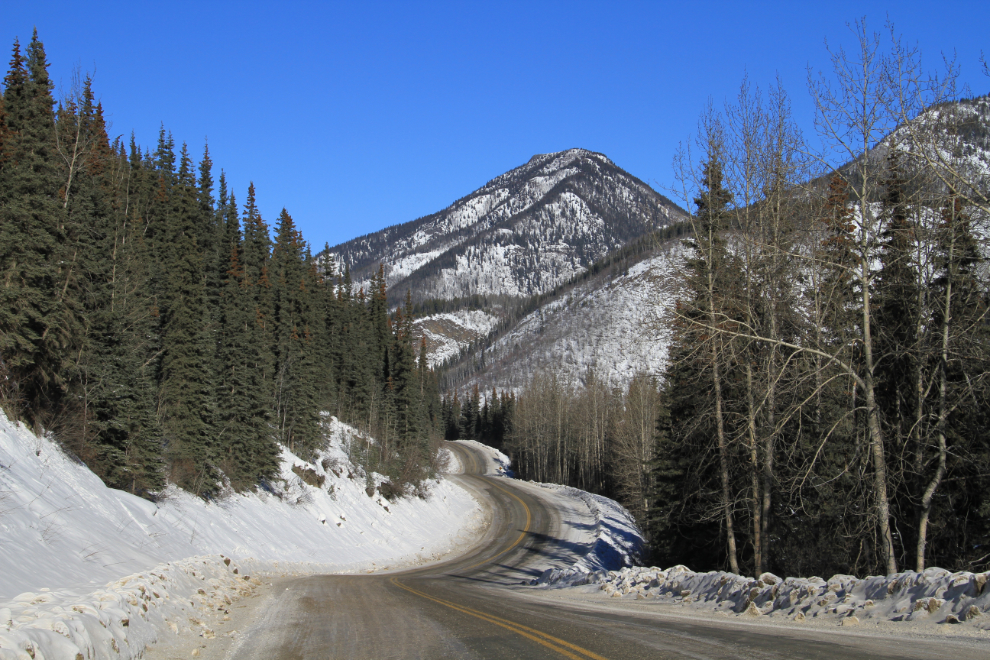
Some of the most dramatic scenes along the route are in the narrow valley of the Toad River.
Most of the Alaska Highway has been widened and straightened, but this section near the MacDonald River bridge (Km 628) is a look at what most of the highway was like just a couple of decades ago.
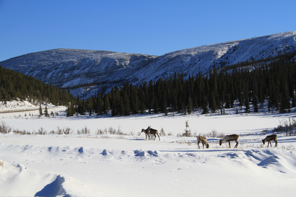
A small herd of caribou at Rocky Crest Lake, a small body of water just north of Summit Lake. Summit Lake is the highest point on the entire Alaska Highway at 1,295 meters (4,250 feet), and these lakes have ice on them through May and even into June in a normal year.
Most of the visitor attractions in northern BC, and services such as campgrounds, are closed in the winter, but some like the Fort Nelson Heritage Museum can still be browsed to some degree.
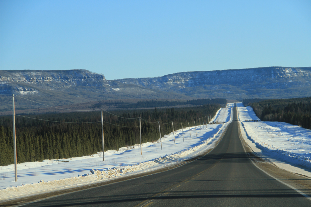
Steamboat Summit west of Fort Nelson is the end of the high mountains along the Alaska Highway, but there are still some impressive views as you enter the Peace River district.
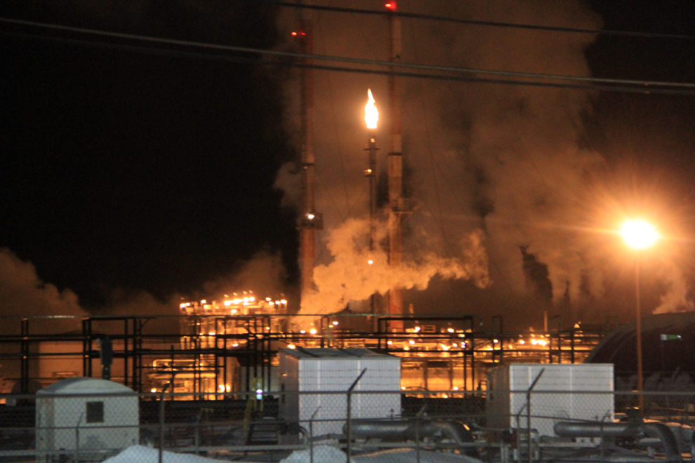
Although it was agriculture that spurred development of the Peace River district and is still significant, the shale on the slopes in the photo above are indicators of the booming resource in this region today, oil and gas. The gas processing plant at Taylor (Km 56) is the largest of the many facilities along the highway.
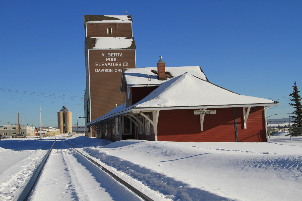
Dawson Creek is a community that I’ve visited many times over the years because I thoroughly enjoy the history and arts scene in particular. On this trip, though, I stayed an extra night and discovered much more about it. I published a separate post about that touring day, “Exploring Dawson Creek in the Winter“.
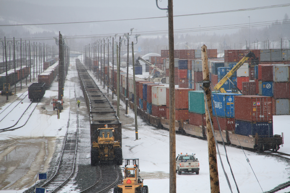
On this trip I detoured into northern Alberta to visit relatives, and re-entered the Great Northern Circle Route at Prince George. The weather wasn’t conducive to touring the railway museum as I’d planned, so I just had a fairly short look at it and some other points of railway interest (the large yard and the bridge acros the Fraser River) and continued on. There will be a “next time”.
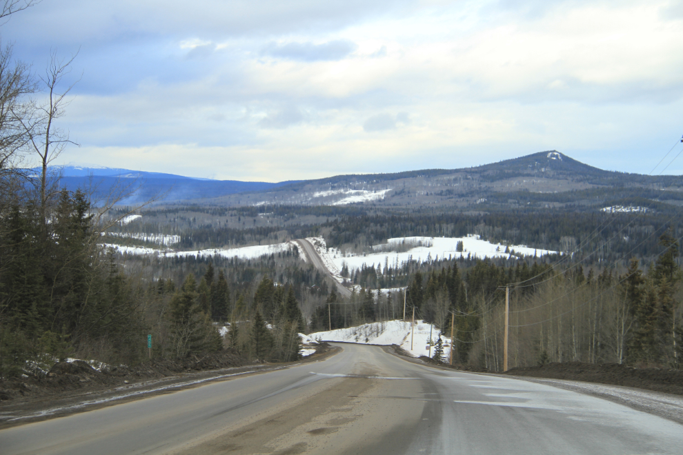
Highway 16 (the Yellowhead) to the west of Prince George passes through lovely country, including the Lakes District centred around Burns Lake. With some 300 lakes, many of them accessible by road, this is fishing paradise, and that includes winter ice fishing.
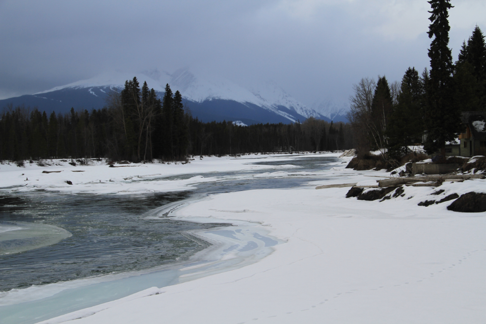
I seldom go by Eddy Park on the Bulkley River at Telkwa without stopping. It just has a good vibe for me.
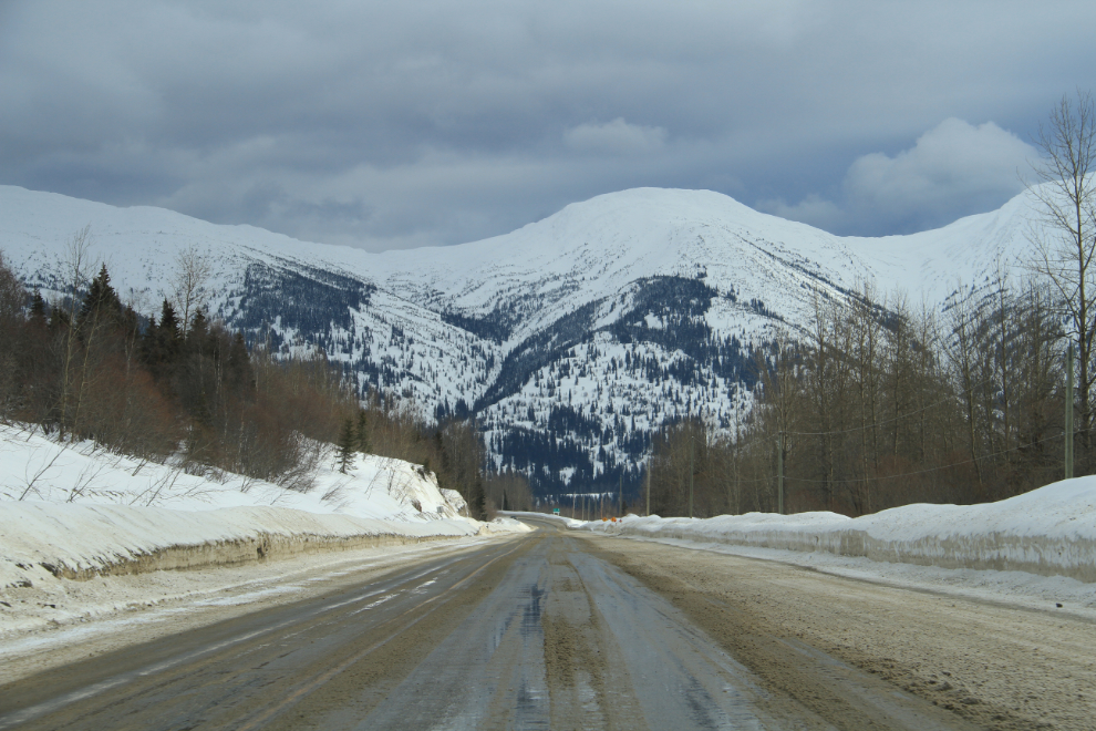
I reached Smithers as planned that night, but my plans got changed from there. One of the keys to making a trip like this enjoyable is being flexible. The good weather forecast for the drive up the Stewart-Cassiar changed rapidly, and when I woke up in the morning, the highway to Stewart was closed due to avalanche danger, and much of the highway was under a travel advisory due to heavy snow. That left me with few options other than retracing my route back to Prince George, and then north.
On the John Hart Highway north of Prince George, the high point is Pine Pass at 875 meters (2,871 feet), and it gathers a lot of snow. The wet snow didn’t last long, though, and well before reaching Chetwynd I was in the sunshine on a dry road.
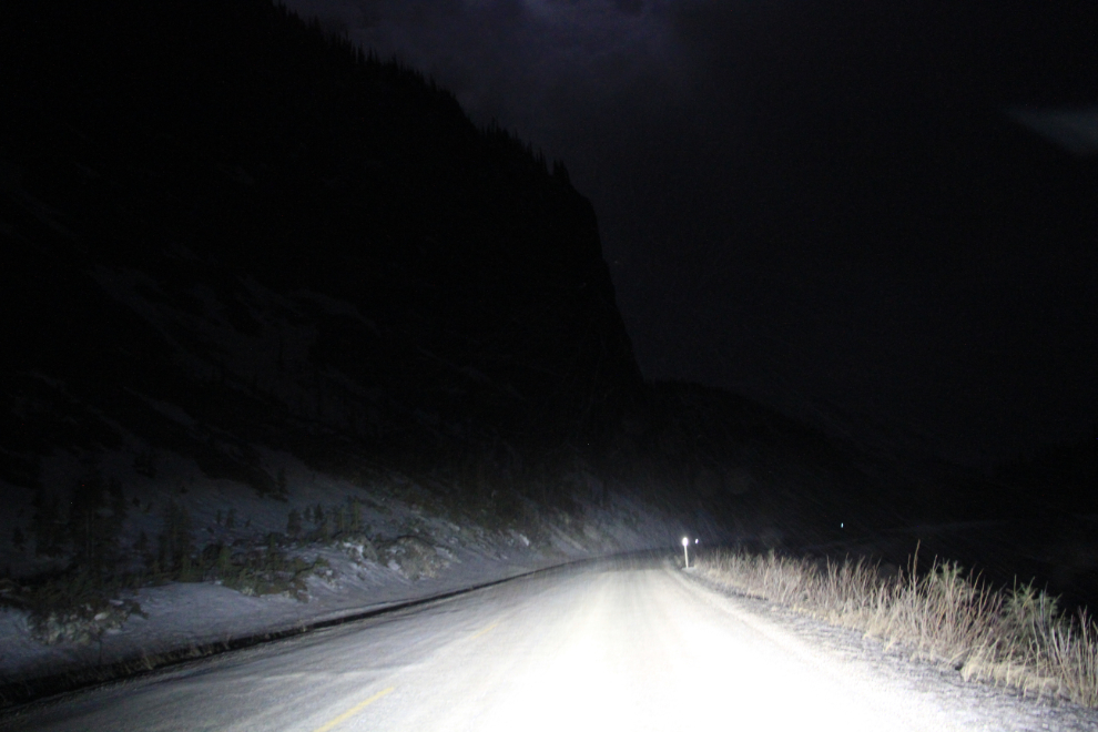
Even when I don’t have to, I really enjoy driving in the mountains at night when there’s no traffic. Back on the Alaska Highway along the Toad River, the night was simply magical, with a nearly-full moon lighting up the peaks along the route. Some snow was falling from the ragged clouds – sometimes light, sometimes very heavy and driven by a strong north wind.
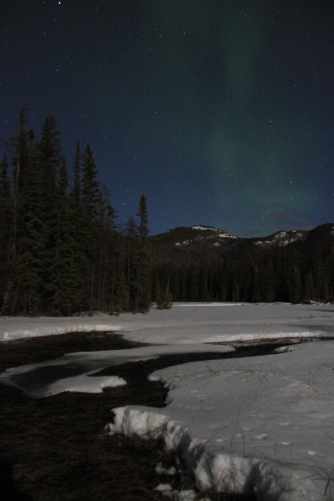
One of the reasons that I chose to drive at night on this trip was to be back at the hot springs in the middle of the night. With nobody else there, dead silent and lit by the moon, it was incredible, and when the aurora borealis made a showing, even though it was greatly diffused by the moonlight – well, I just don’t even have the words to describe the experience.
That is a very brief look at a major trip (I spent just under 7 days on the actual Great Northern Circle Route), and in future posts I’ll be expanding on some areas and filling in some of the many blanks. To repeat what I said early in this post, this trip isn’t for everyone – the article How to Drive to Alaska in the Winter may help you decide if it should be on your list.