Driving from Lake Havasu City to Quartzsite, Arizona
By about 12:15 on Monday, November 18th, we were back on Highway 95, headed south to Quartzsite, 79 miles away. We made a couple of interesting detours on the way, though. See an interactive map here.
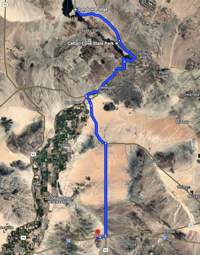
I suppose this drive could get boring and that’s why so many people want to get through it as fast as possible. I’m always thinking about what great trails we might be passing, and what old mines are hidden in the hills along the highway, so never get bored.
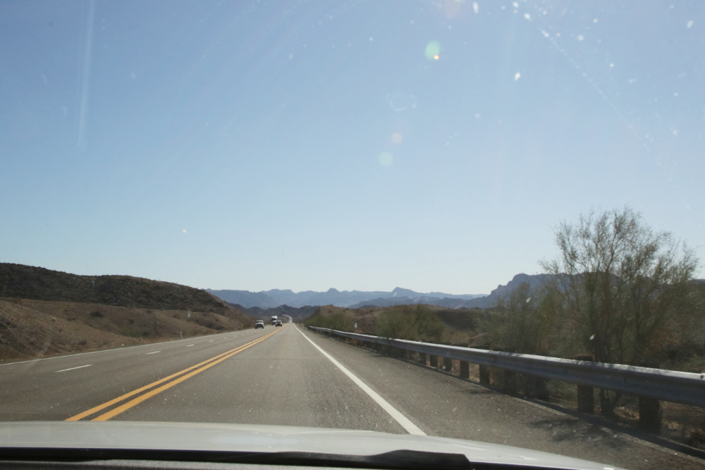
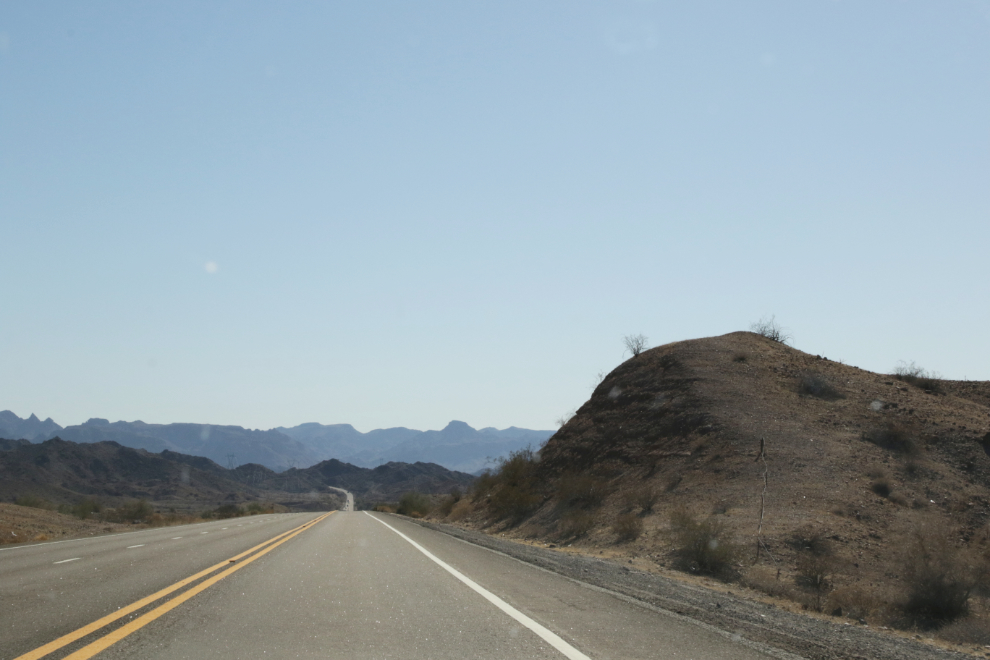
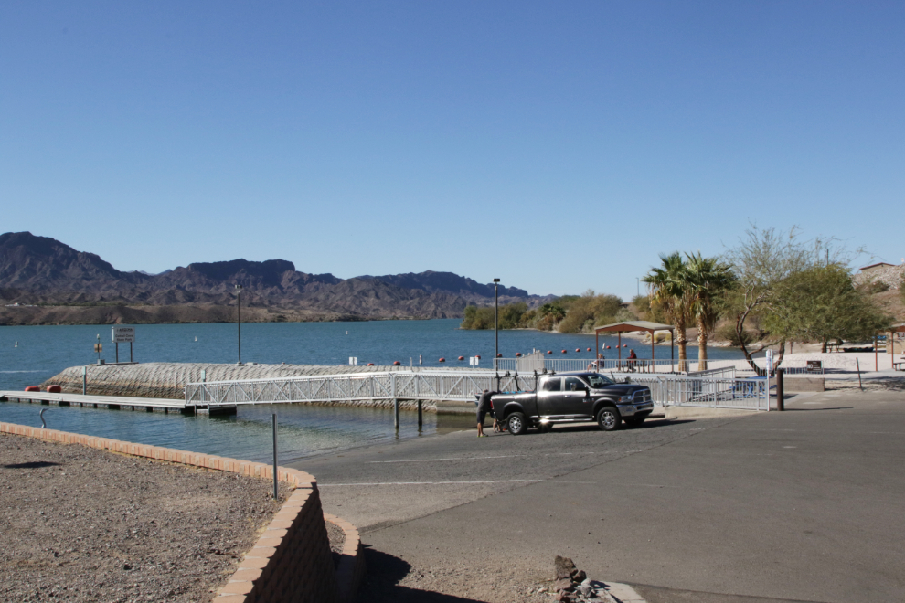
Seeing a sign for Cattail Cove State Park at 12:35, I decided to go for a look. It’s about a mile from the highway to the park entrance.
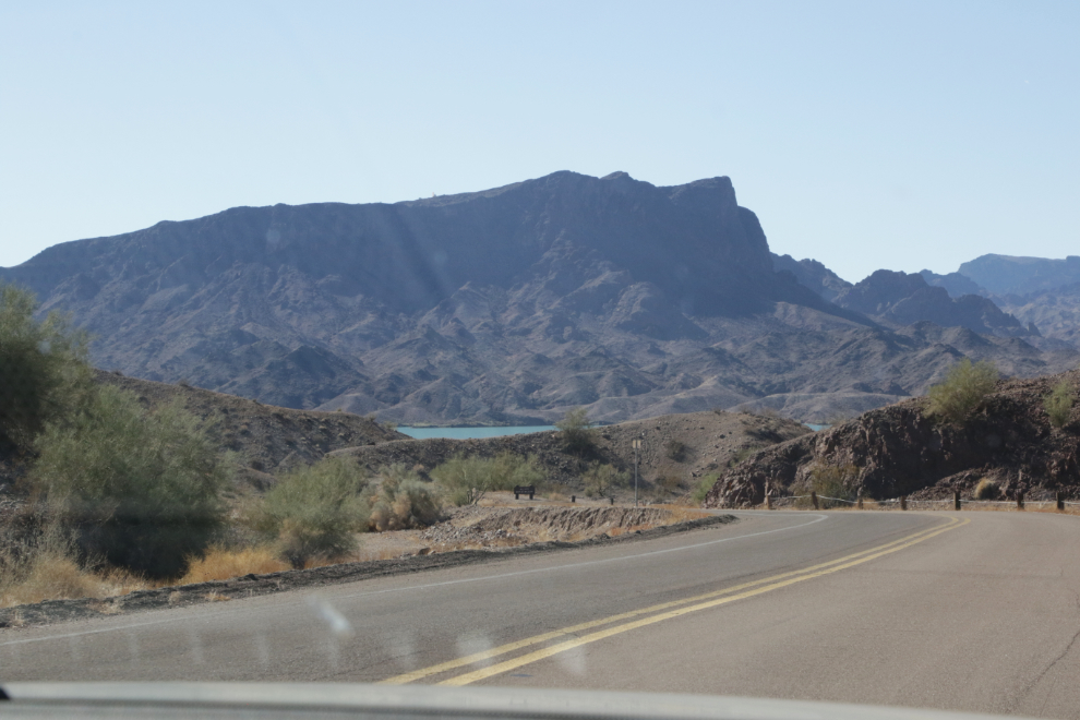
At the park entrance, the ranger explained the various fees (day use $10, campsites starting at $30 per night, etc). When I said we just wanted to go for a walk and take some photos, she said we could park there and walk down to the campground and beach with no fee. Perfect 🙂
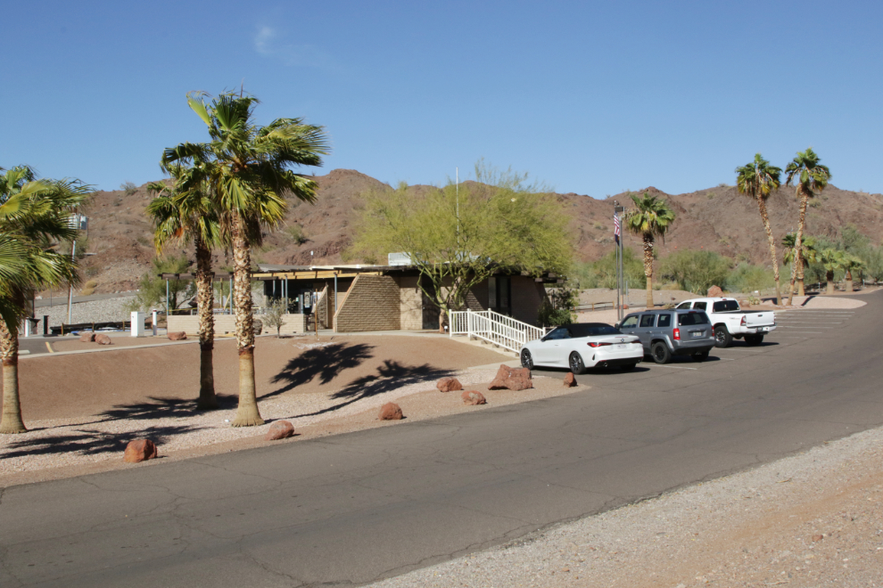
The campground is very nice, and we saw a few Canadian licence plates – BC, Alberta, Manitoba and even Ontario.
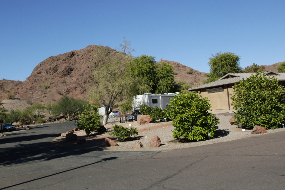
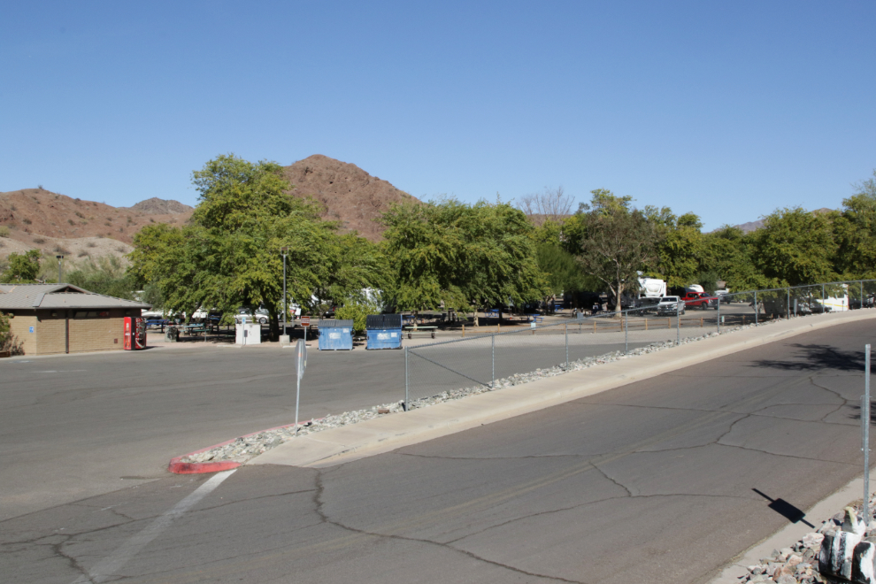
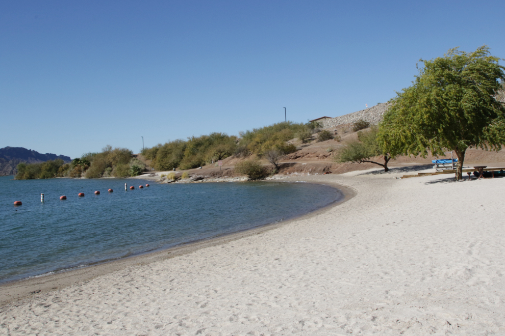
The beach is very small, but I eventually realized that Cattail Cove is mostly a place to launch your boat – the boat-launch parking lot is huge, and there are 32 campgrounds around the lake for boaters.
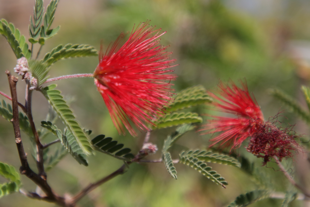
There’s a very nice garden with the plants all labelled – this is Baha Fairy Duster (Calliandra californica).
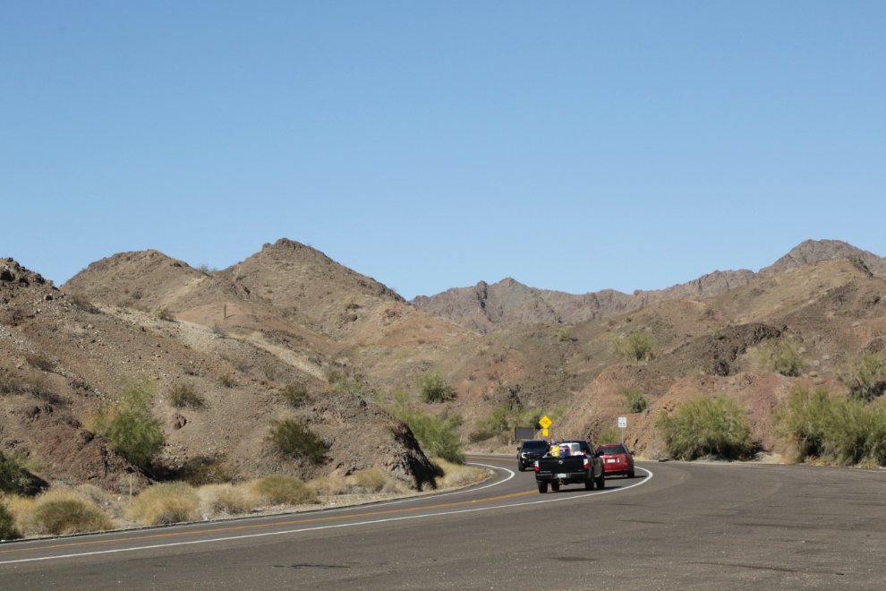
We spent about half an hour looking around, then continued on our way. Just 5 minutes down the highway, seeing a large paved pulloff with interpretive signs gott me to stop. The next photo looks back up the highway to the north.
This large marsh at the mouth of the Bill Williams River was the only one we saw in Arizona. The river was named for a man who was born in St. Louis in 1781, and arrived here as a missionary among the Osage Indians. Instead of him converting them to Christianity, though, they converted him, and he spent the rest of his life as a mountain man, trapping and living off the land. The interpretation at this pullout is very good.
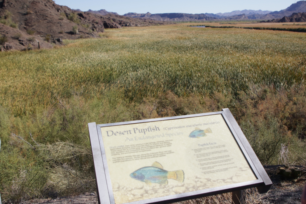
The Buckskin Mountains surround the marsh. They were formed by volcanic activity 10-15 million years ago, and the river cut its way through them as they were uplifted over the past 5 million years.
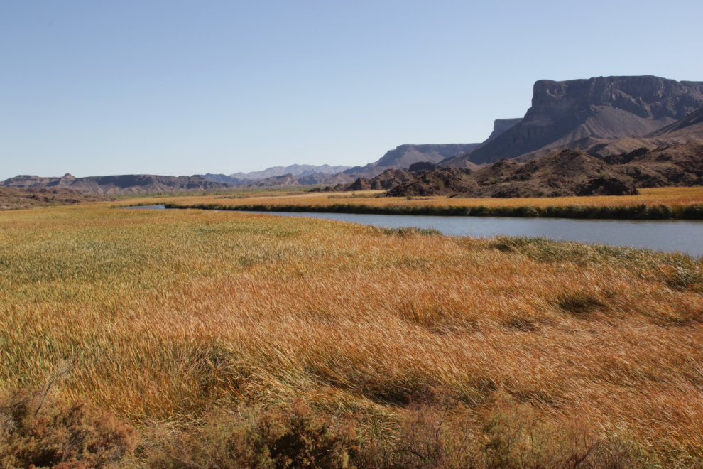
Highway 95 crosses the marsh and river on the Bill Williams Memorial Bridge.
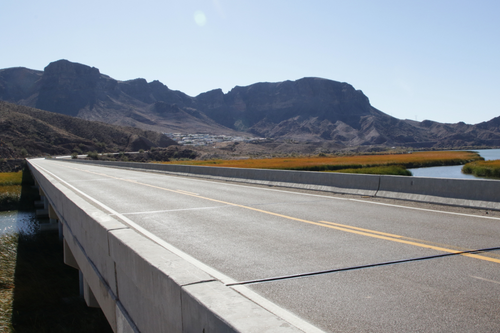
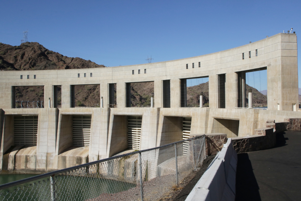
While planning the trip I had done some searching for ways to get off the freeways, and found that we could get quite a few miles of quieter road by crossing over the Parker Dam, which we did at 1:30. When the Parker Dam was bilt across the Colorado River between 1934 and 1938 by the Bureau of Reclamation, it created Lake Havasu.
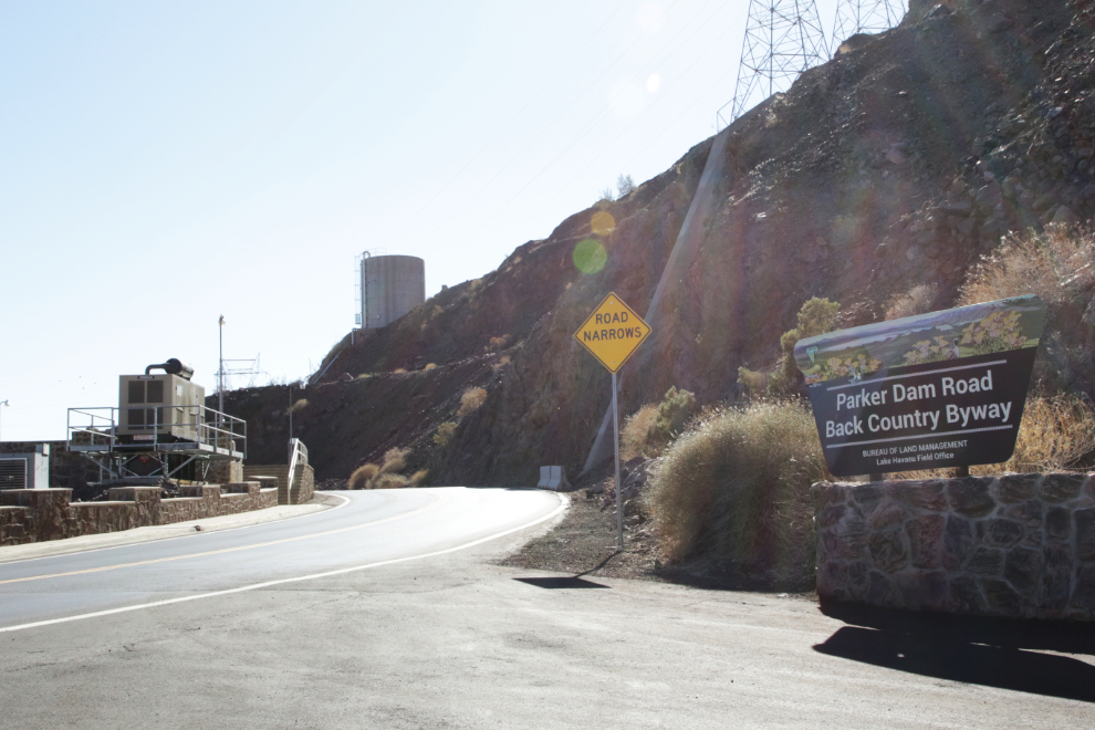
That’s the sort of signs we wanted to see – “Road Narrows” and “Back Country Byway”. 🙂
There, that’s better! 🙂 The Parker Dam is unique in that although it’s only 85 feet high above the riverbed, an excavation 235 deep was needed to reach bedrock, so its total concrete structure makes it the highest dam in the world.
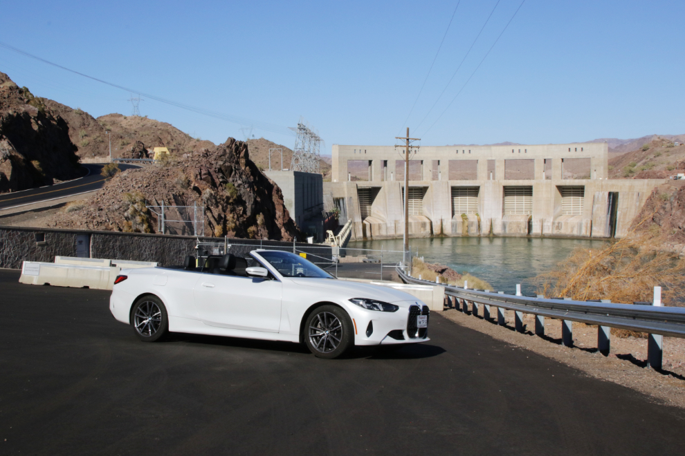
Although the Parker Dam Road was much slower and quieter, the next photo was the only one I shot along it – views of huge RV parks and storage yards were more common. After 16 miles we crossed back over the Colorado River and re-joined Highway 95 at the town of Parker.
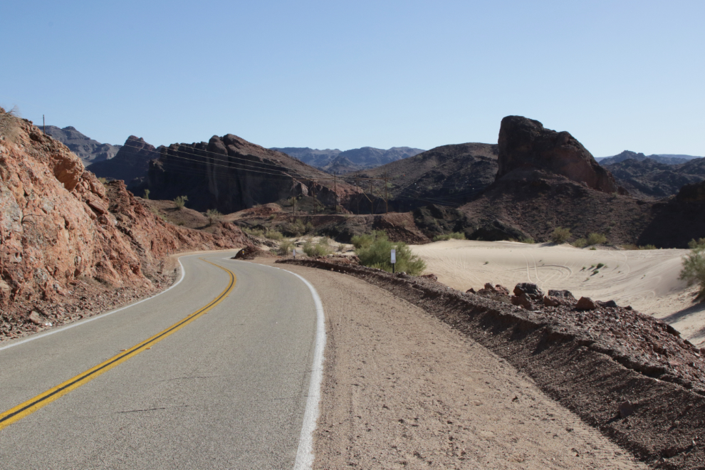
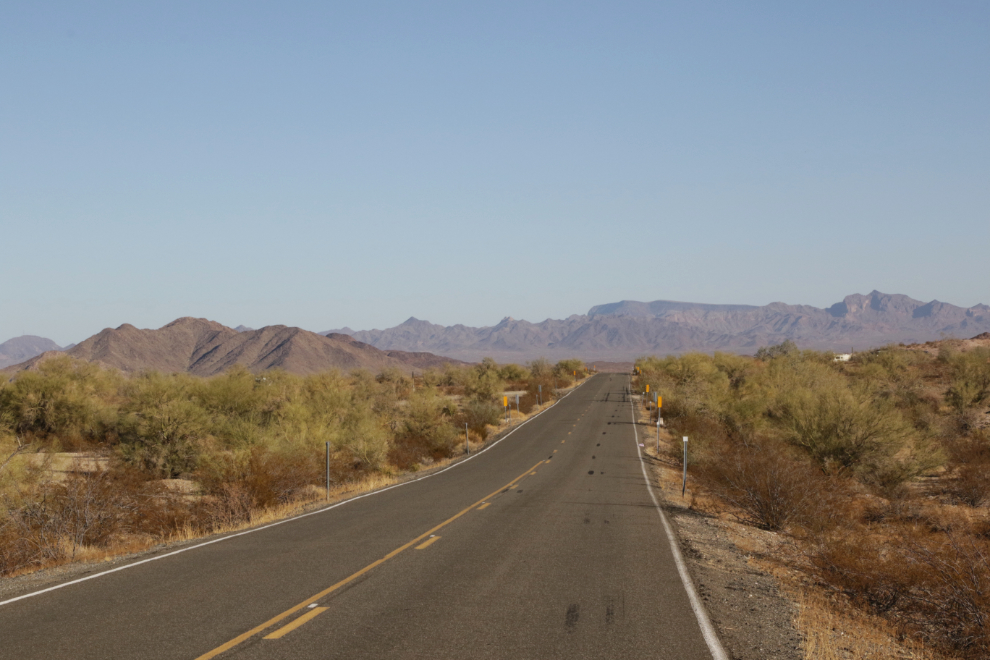
We reached Quartzsite at about 2:45 and did some paved-backroads exploring. The next photo was shot along Dome Rock Road West – I think that’s Cholla Canyon to the right. There are old mines everywhere, some visible along rough dirt roads leading from that road, and we really wished for a little while that we had a Jeep!
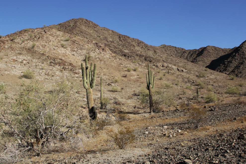
Further out Dome Rock Road West.
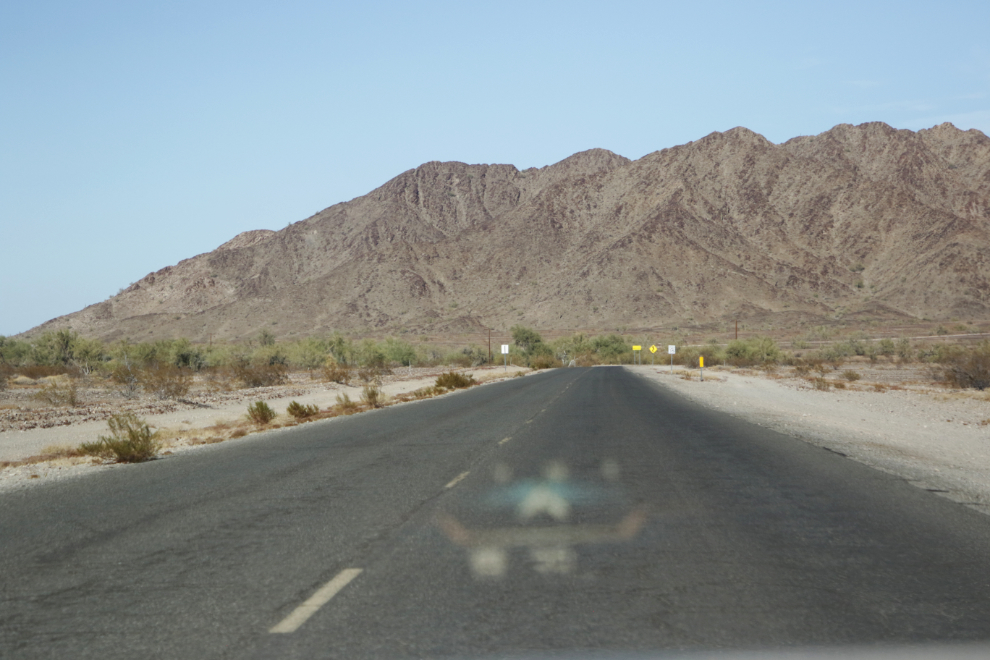
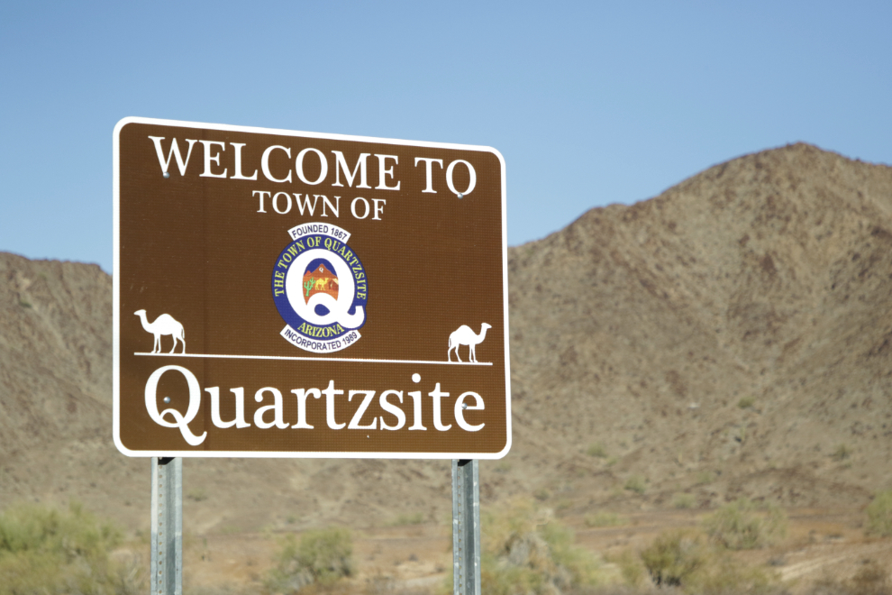
On the way back to Quartzsite I had to get a photo of the welcome sign. Camels are a big deal in Quartzsite, mostly because Hadji Ali, a camel expert from Turkey who led the U.S. Camel Corps experiment in the 1850s, is buried there, as “Hi Jolly,” the name he became famous with. We would visit his grave the next morning.
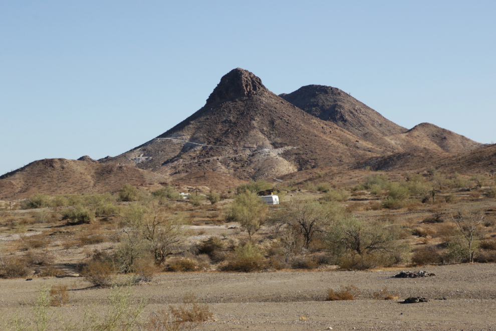
We did some wandering south of town looking for a way to hike up Q Mountain, but never found the access, and it was actually getting too late to do it anyway. The next two photos were shot at 3:28.
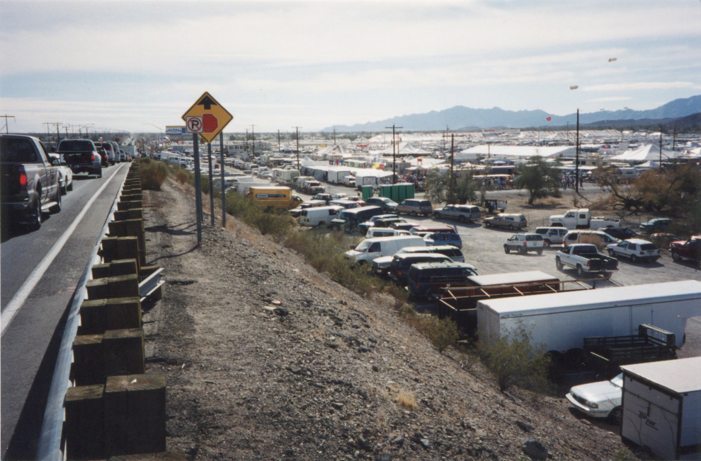
When I was in Quartzsite in January 2000, I had found a way to climb Q Mountain – this was the view from the top, with RVs parked as far I could see off into the distance.
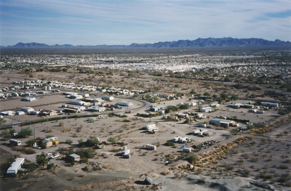
Quartzsite was pretty quiet this time, but it gets crazy-busy mid-winter, especially during the RV Show. The next photo is also from January 2000.
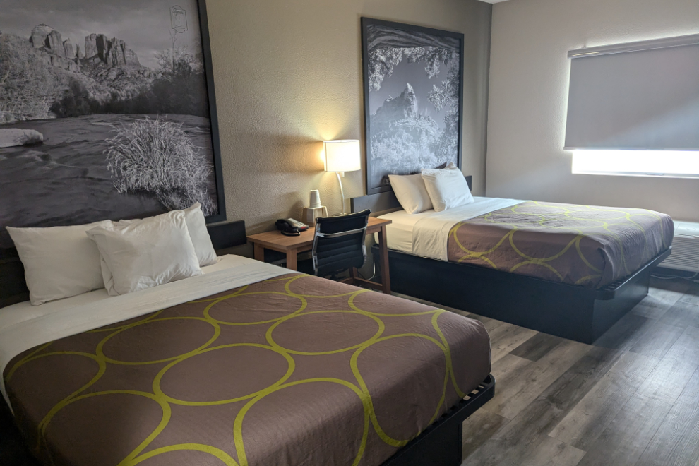
Just before 4:00, we checked into the Super 8.
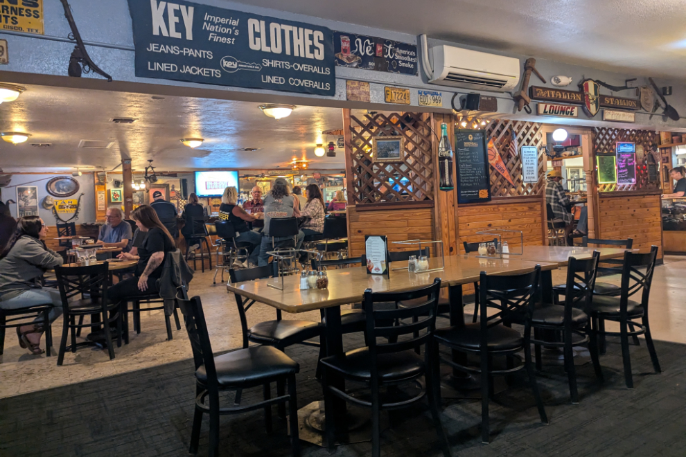
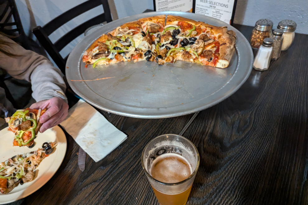
There are few dining options in Quartzsite, and the very good reviews of Silly Al’s Pizza made it an easy choice. My 5-star review at Google says “Great pizza and service, and a fun vibe, all for a reasonable price.”
The next day, we would explore a bit more of Quartzsite, visit Hi Jolly’s grave, then continue on to Yuma, only 85 miles south.

Nicely delivered serious pizza from Silliness Al, with the must have pizza and beer wash down fluid, the one hump camels would never of worked in the USA, bare minimum 2 humps for the win 🇺🇸🌵🐫
Beer is pretty much mandatory with pizza, isn’t it? And wasn’t “bare minimum 2 humps for the win” your motto at the KK? 😀
That is very interesting. As always I enjoy your travelogues. Bill Williams reminds me of Jim Bridger, another mountain man who lived a life among the natives of the Great Plains before history swept it and the buffalo herds away.
Thank you, Abe. Jim Bridger’s story is another remarkable one, for sure. There are at least two wonderful sculptures of him, in Kansas City and Fort Bridger, Wyoming.