Driving and flying from Banff to Kelowna to Whitehorse
I’m trying hard to slow down when I travel but so often that just isn’t possible. I have two options – to see something quickly and superficially, or to not see it at all. I was up 2 hours before the 08:34 sunrise on Wednesday in order to maximize my day.
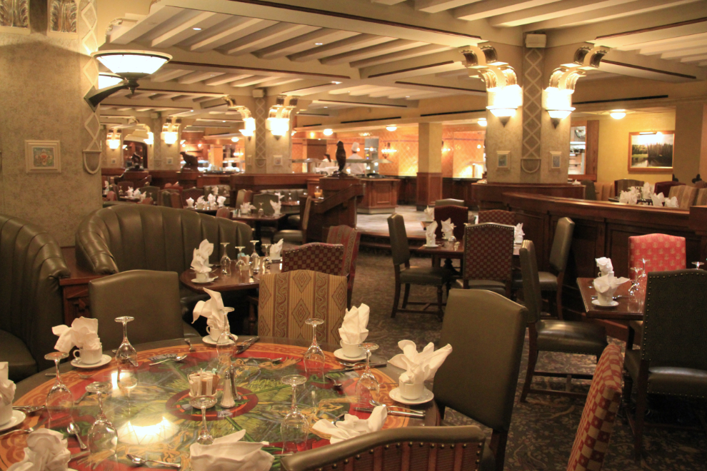
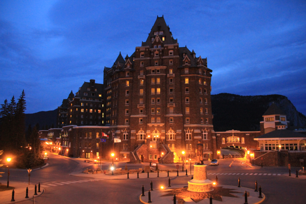
I took a few photos around the Fairmont Banff Springs Hotel, and was at the Bow Valley Grill for breakfast when it opened at 7:00. Both the service and meal in the magnificent, nearly-empty restaurant were excellent.
As the sky started to brighten, I added some more night photos of the hotel.
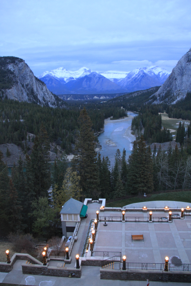
One final shot from my room, looking down the Bow River, at 08:36. This is a wide-angle view, shot at 18mm.
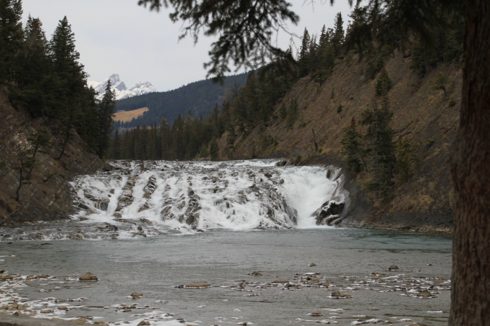
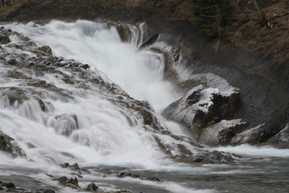
I had a very short list of must-sees in Banff, the first place on the list being Bow Falls, right below the hotel. With the high country freezing, the flow of the river is fairly low now.
I spent 25 minutes shooting in the area – the falls, the historic Waldhaus Restaurant, some elk crossing the Spray River.
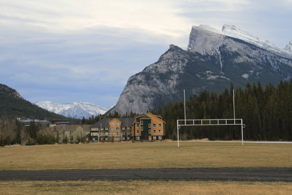
I explored some of Banff’s residential areas…
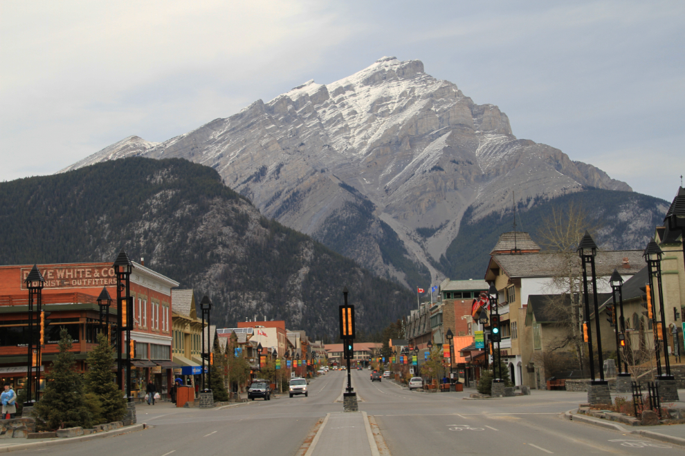
…then went downtown to get Cathy a new Helly Hansen fleece. Most high-end outdoor-oriented shops in the world have a branch in Banff.
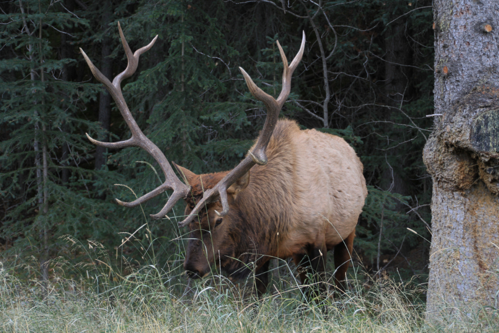
Leaving town, I spent a few minutes with this elk alongside the highway. Elk used to be a huge problem in town, but in 2000, a few hundred elk were captured and shipped to other areas, and this was the only one I saw.
Highway 1, shot from the Mount Norquay overpass just west of Banff.
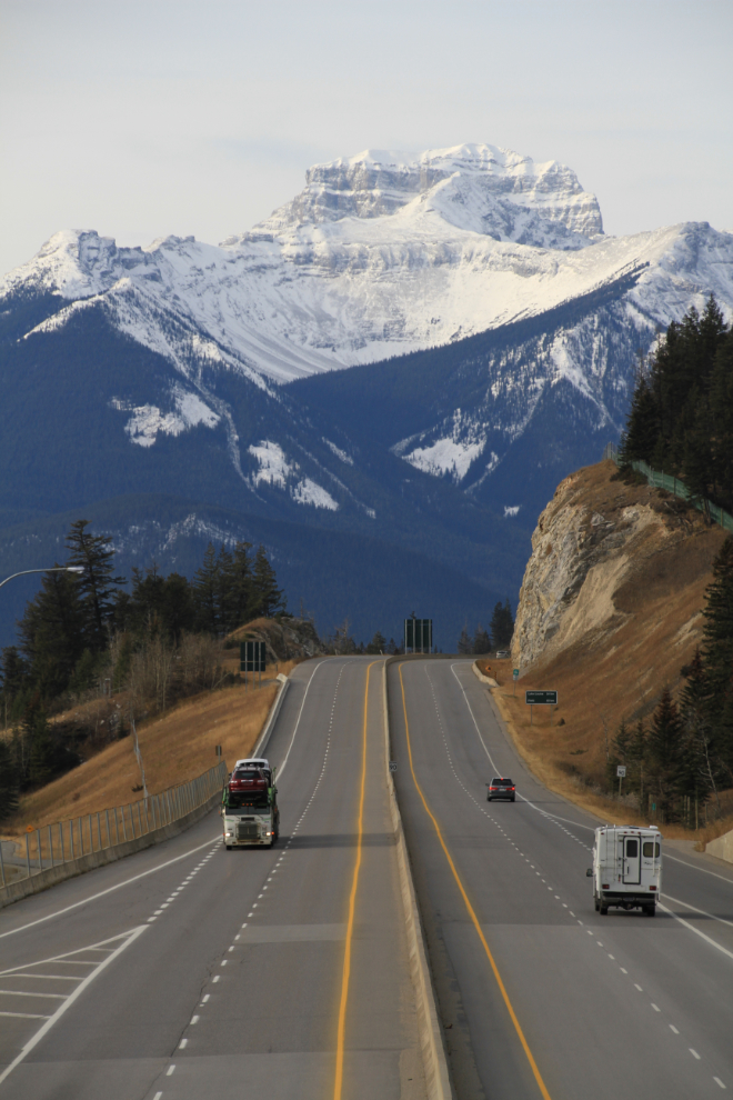
As soon as possible, I got off the freeway, onto the Bow Valley Parkway.
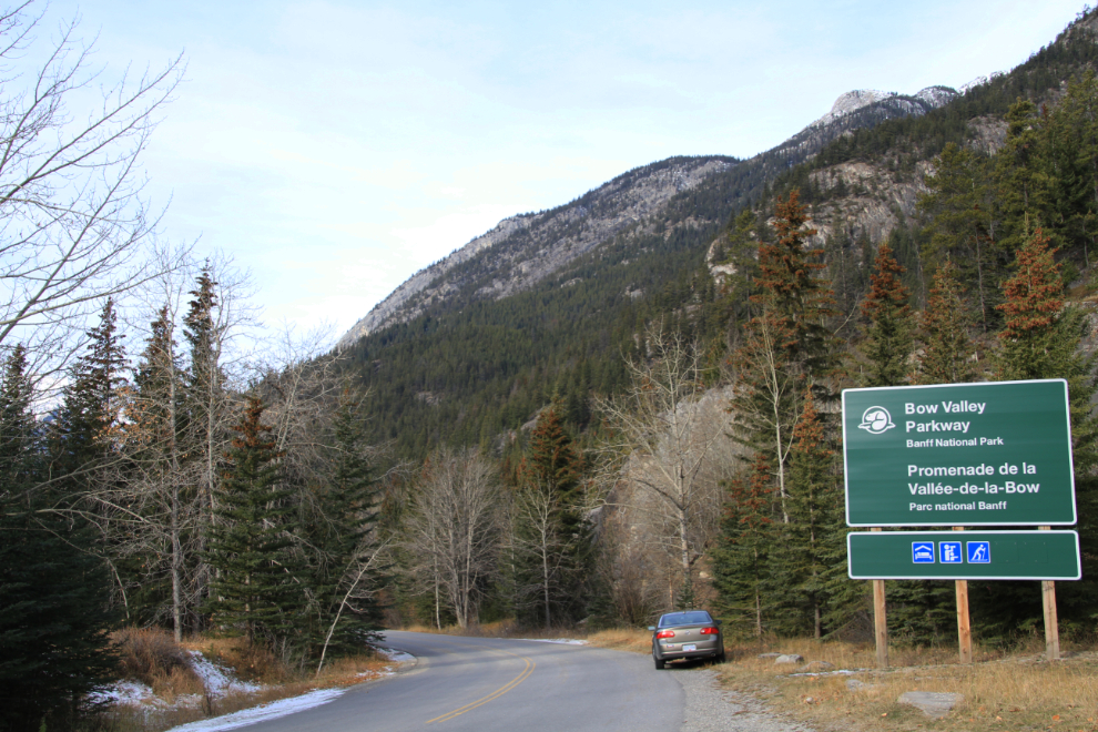
The Parkway was very quiet – it’s mostly 2-lane, and that splits into 2 one-way roads in a couple of places.
The Parkway was even slower than I had expected due to much of it being ice-covered. The Buick handled it quite well, though, slipping only when I braked hard to test its traction.
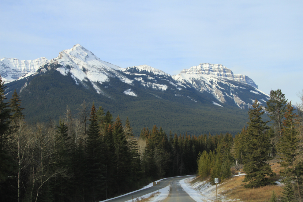
The Rockies are incredible. Cathy and I agree that we need to plan a week-long road trip in the Banff-Jasper area some day in the not-too-distant future, perhaps next Fall.
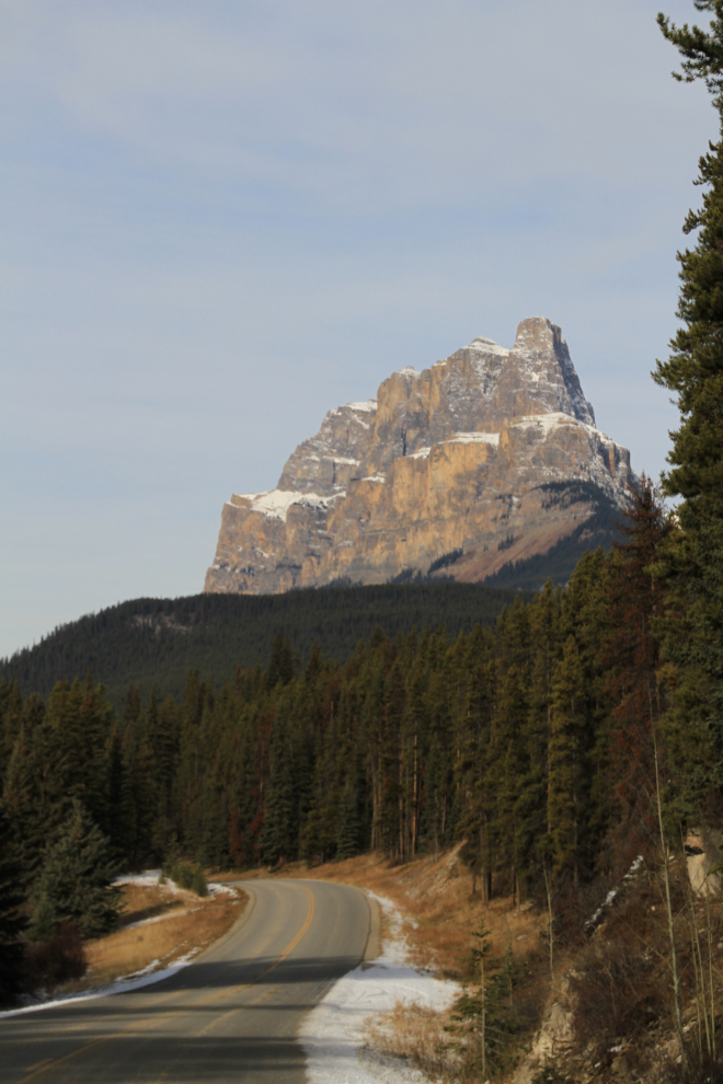
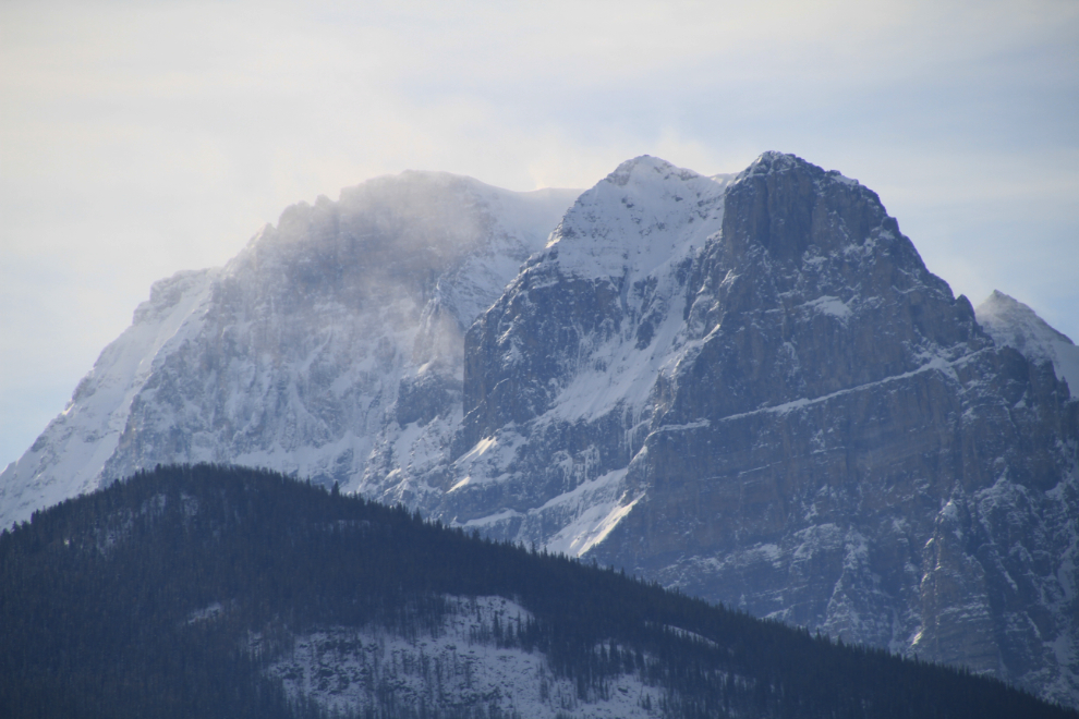
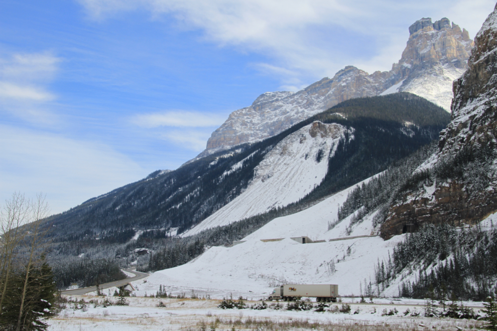
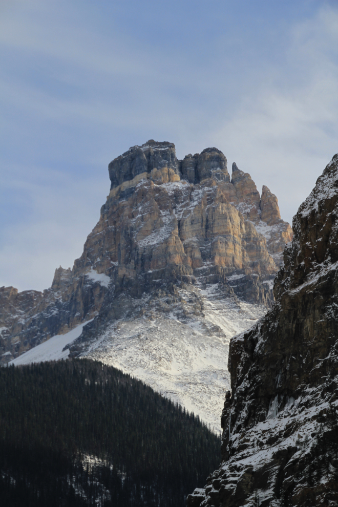
Castle Mountain is one of the most impressive peaks.
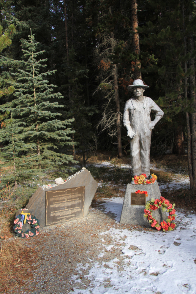
When I first saw this memorial to the men imprisoned at the Castle Mountain Internment Camp, I thought it was one of the camps for people of Japanese descent. But I was wrong – this was one of 24 camps across Canada that held a total of 8,579 men, mostly Ukranian, during World War I. As with other such tragic events, the imprisonment was fueled by hysteria, not reality.
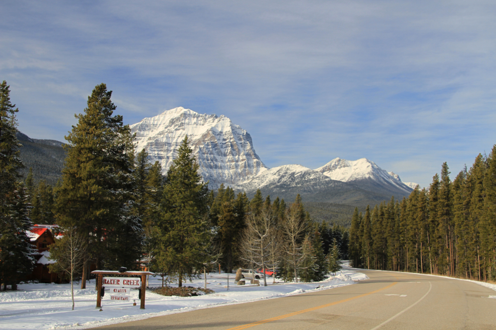
One of a handful of lodging places along the Bow Valley Parkway, at Baker Creek.
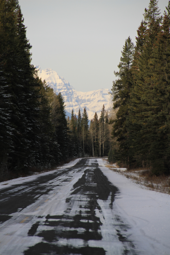
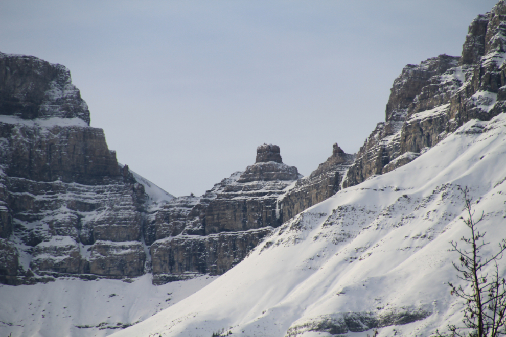
Spindrift among the high peaks.
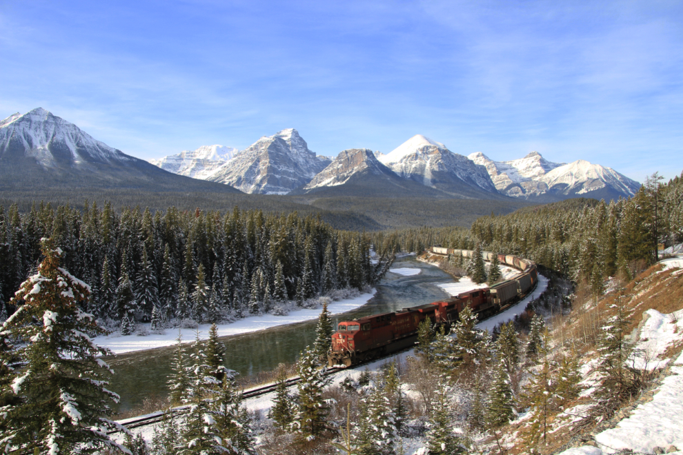
Morant’s Curve is one of the classic locations in North America to shoot trains, and I was determined to sit there until a train came. Luckily that only took about 15 minutes 🙂 I chatted with a fellow from northern Alberta who had been there watching trains for 2 hours when I arrived – his count was 3 so far
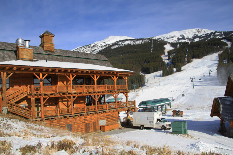
I was rapidly running out of time (my parents expected me in Kelowna mid-afternoon), but took a bit of a detour up to the Lake Louise ski resort to see how the season was progressing.
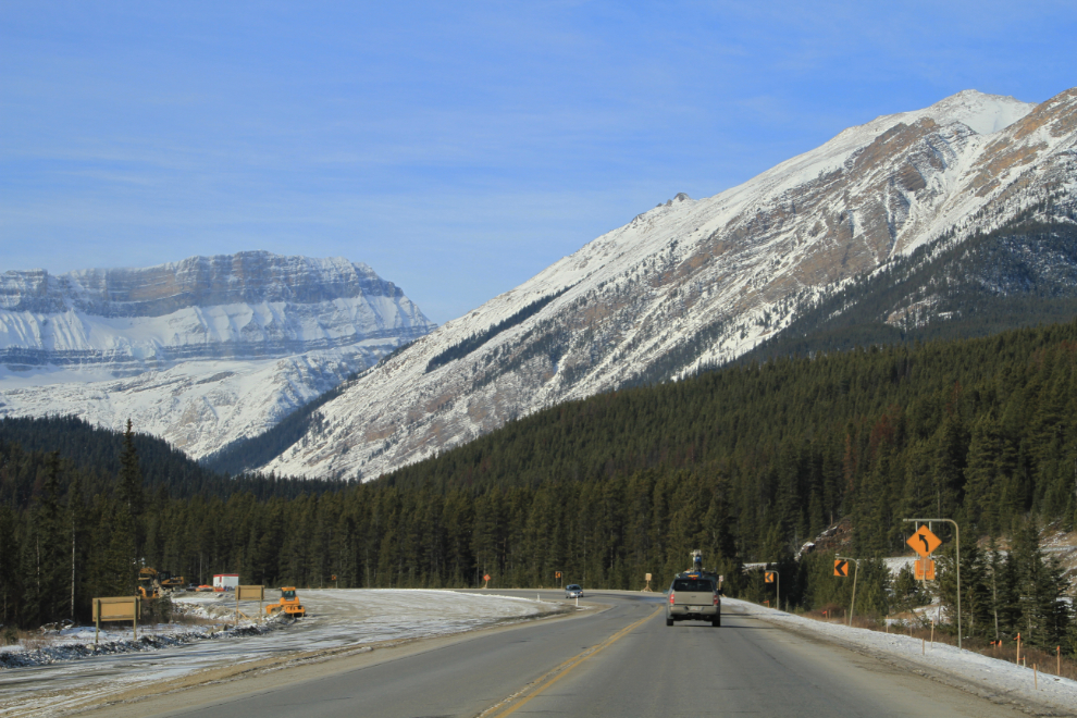
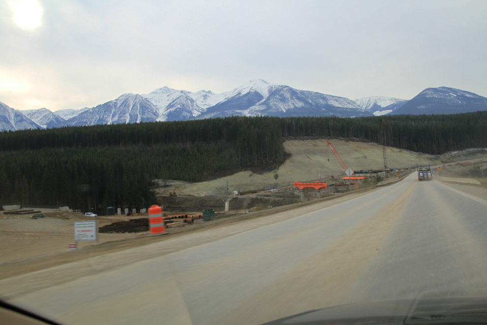
Twinning of the Trans Canada Highway (Highway 1) through the Rockies is a multi-decade project that is nearing completion. This section of construction is about 10 miles west of Lake Louise.
Highway 1 just west of Field (British Columbia), with the Canadian Pacific Railway line above it.
A closer look at the peaks seen in the photo above.
One of the most impressive sections of highway upgrading has been the one through Kicking Horse Canyon just east of Golden, BC. The total cost of this will approach $1 billion by the time it’s finished!! This incredible rock cut is right at the eastern end of the Park Bridge.
The Park Bridge.
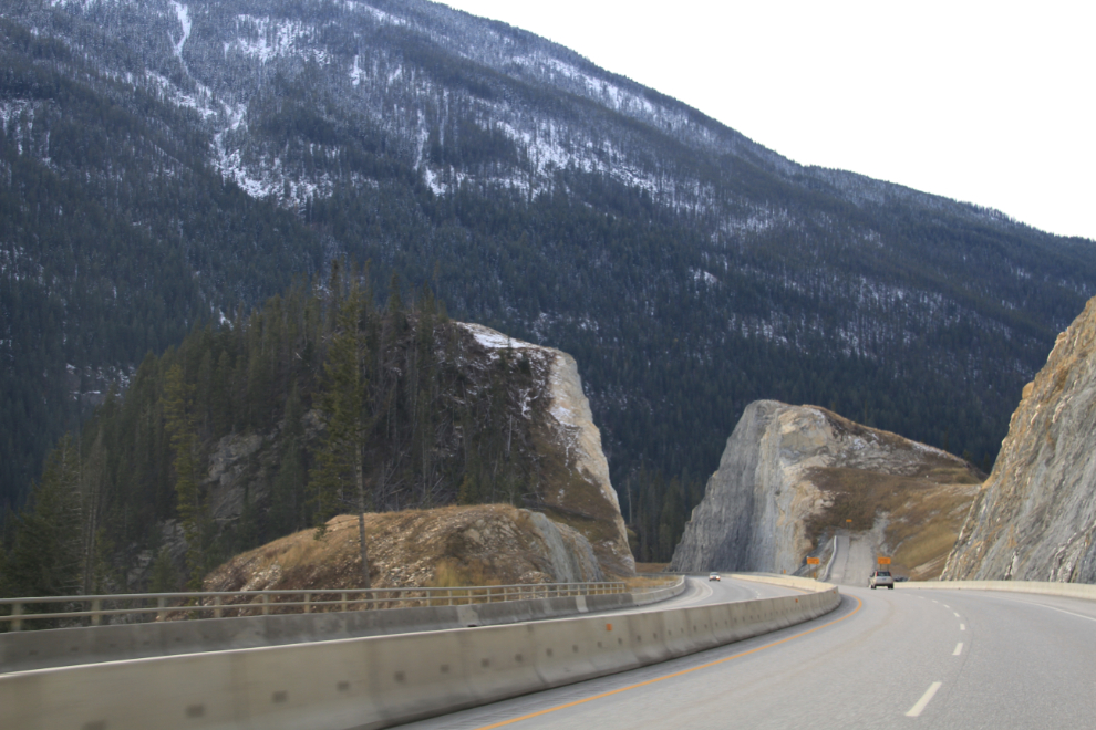
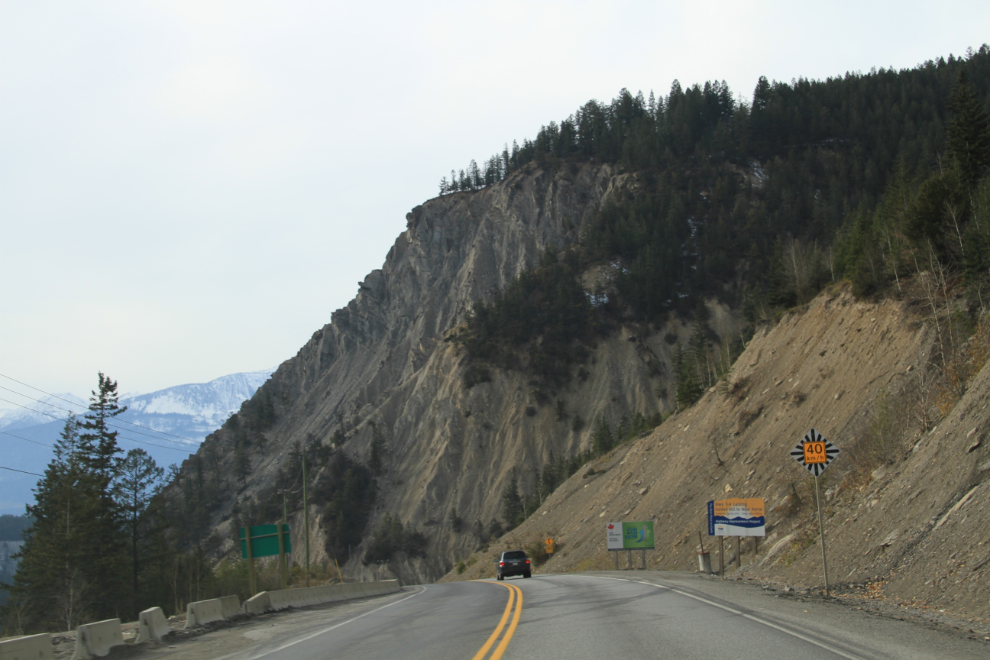
This is the worst section of the Trans Canada Highway that’s left anywhere in Canada – there are several 40-kmh (25-mph) curves.
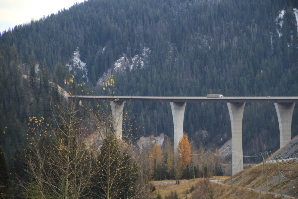
Another major bridge project at Donald, west of Golden.
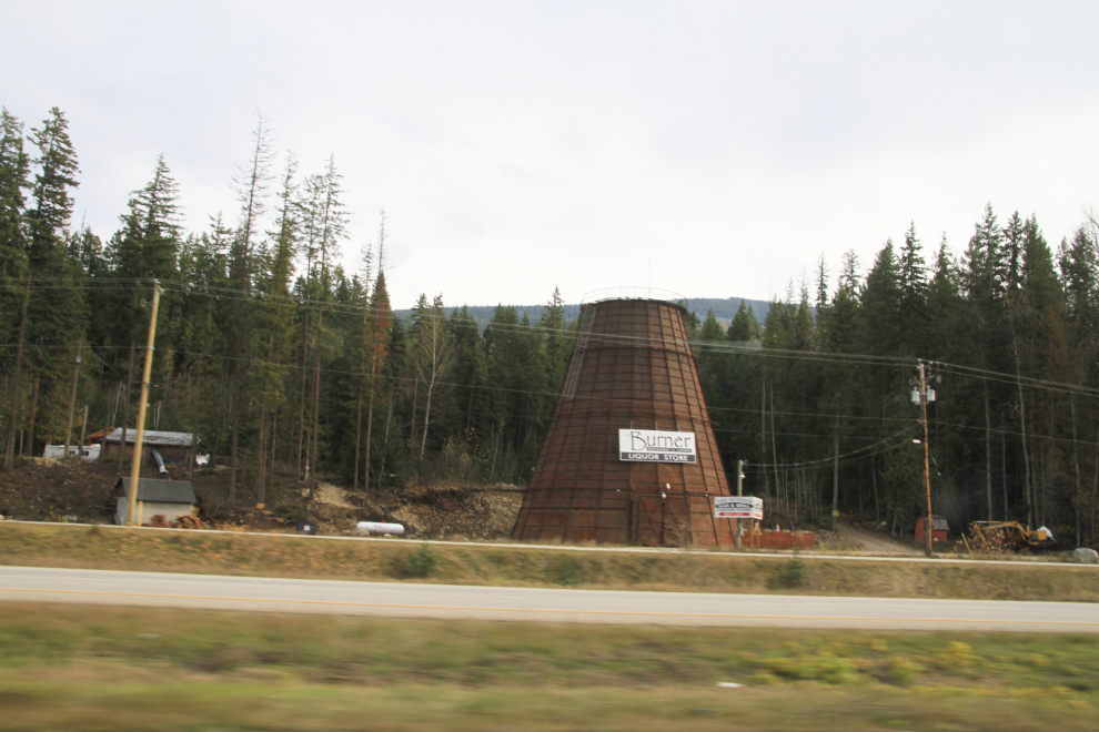
“Teepee burners” (or “beehive burners”) at lumber mills used to be a very common sight, but most have vanished. This one east of Sicamous was turned into a pub a few years ago – that apparently didn’t work out and it’s now a liquor store.
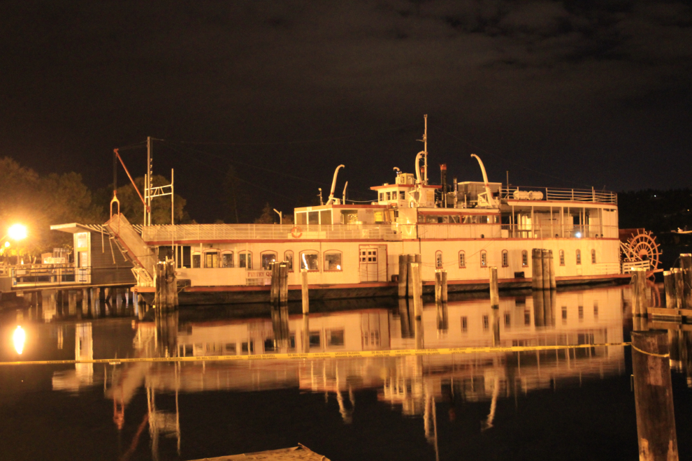
I got back to Kelowna just after 5:00 pm on Wednesday and had a quiet evening and the following day with my folks. On Friday I had a very early start, getting up just before 04:00 to catch a 06:00 plane to Vancouver. I was a bit early, so stopped for a few photos in downtown Kelowna. I’d heard on the radio that the city wants the abandoned boat Fintry Queen gone soon, so got a final photo of her.
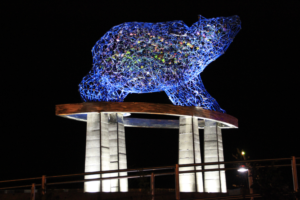
“Kelowna” means “female grizzly bear” in the local Indian language – this grizzly sculpture by Brower Hatcher was installed in 2010.
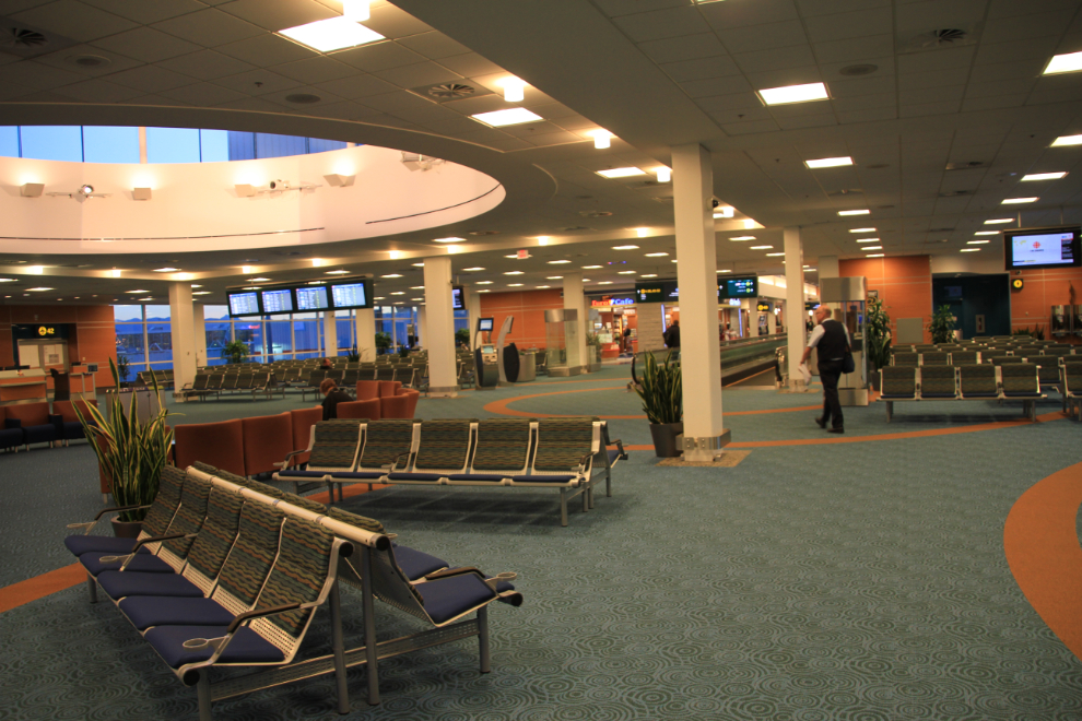
I had almost 3 hours to kill at the Vancouver Airport, which was very quiet in the area where my flights both arrived and departed from.
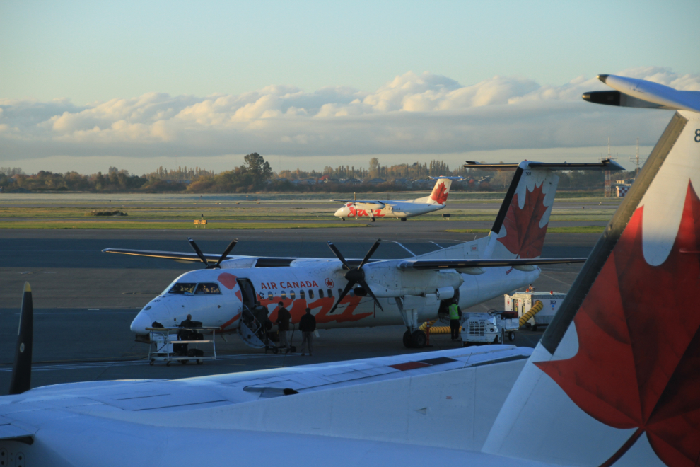
There were lots of regional flights leaving, but the total number of people wasn’t large.
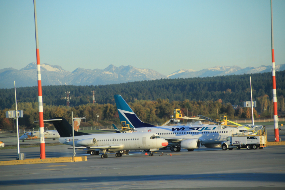
It was odd to see many planes being de-iced.
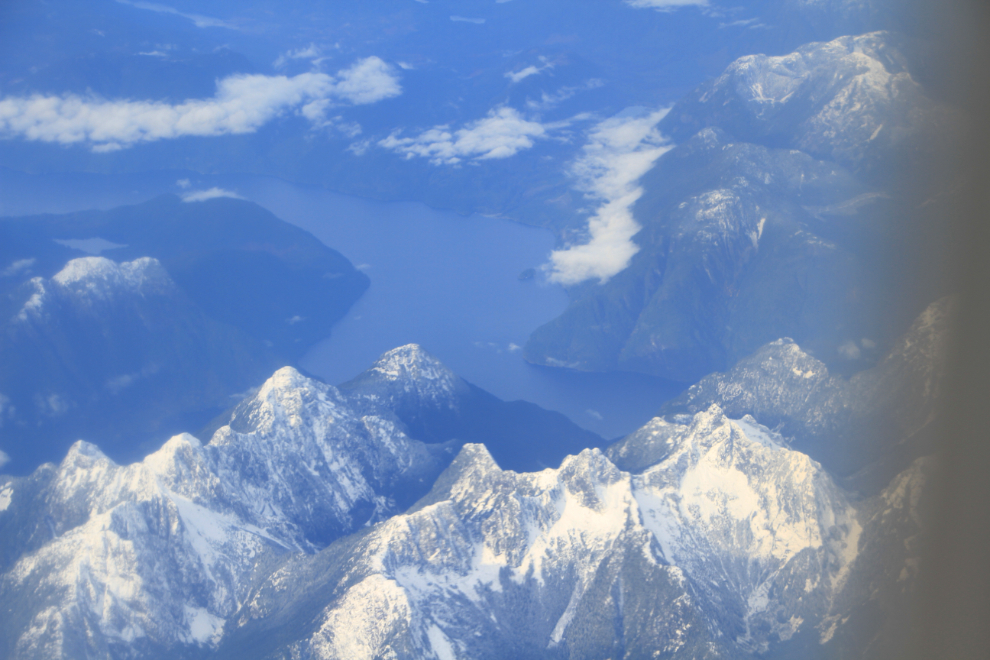
My flight to Whitehorse departed on time at 09:45. I had a view for about 20 minutes, then went into cloud all the way to Whitehorse. This is along the coast opposite the northern end of Vancouver Island.
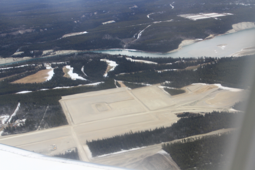
On the final approach for landing at Whitehorse. Two years ago that large bare area was forest – in another two years it will be full of homes and businesses. This is the Whistle Bend project.
I was gone for 8 days, put 2,097 km on the Buick Lucerne I rented, and have 771 photos after editing. The next trip we have planned is June 1st next year, when we’re taking 4 friends from Ontario on an Alaska cruise on the Celebrity Millennium followed by a short land tour to Denali.
But, my plans have been known to change quickly 🙂