Cultus Bay on Kluane Lake, or Cultus Lake?
As you drive the Alaska Highway along Kluane Lake, you can see a road on the opposite side of the lake as it crosses several steep slopes. I’ve always wondered what that road looked like, and on our last Congdon Creek weekend, we finally went for a look. The main thing we found was what we thought was a new lake, which we expected was caused by the lowering of the level of Kluane Lake that I’ve talked about here a few times.
On this map, “Cultus Bay” at the upper right is shown as being open to Kluane Lake. I discovered years after I wrote this, though, that aerial photos show it to have been completely separated from Kluane Lake since at least 1984, and have edited out that initial excitement of discovery.
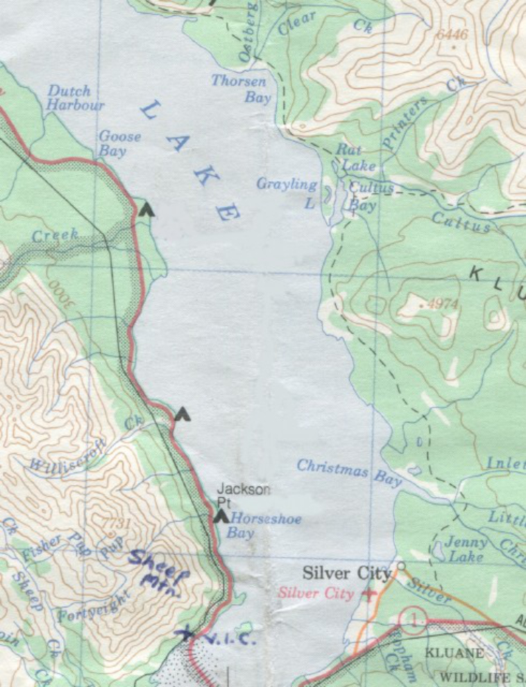
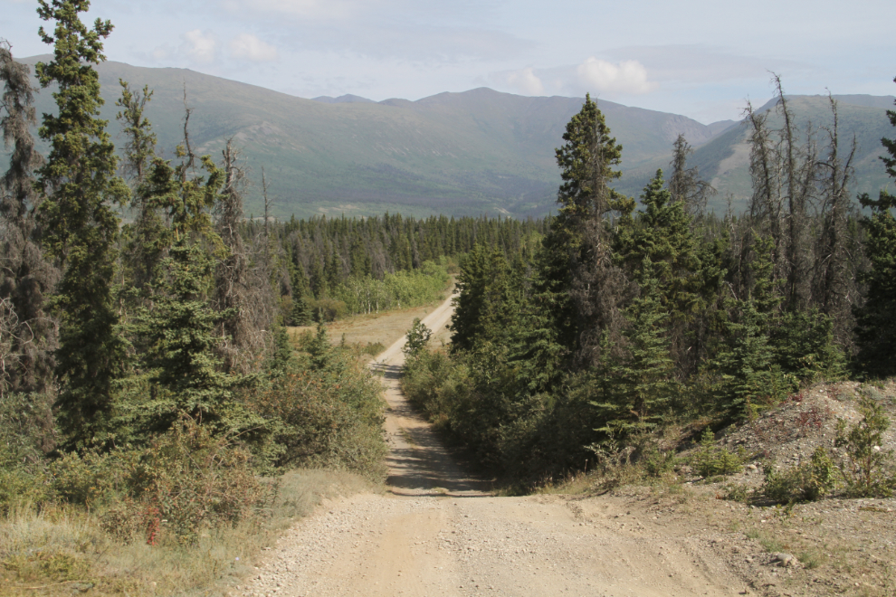
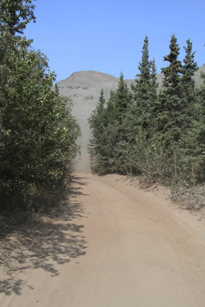
To get to what I’m calling the Kluane North Road, turn off the Alaska Highway at Km 1635.8, onto the gravel road that leads to the ghost town of Silver City, and the Kluane B&B. Then turn right onto a smaller gravel/dirt road 2.1 km from the highway. Mileages that follow are from this point, though there are no mileage makers on either of the gravel roads.
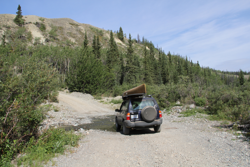
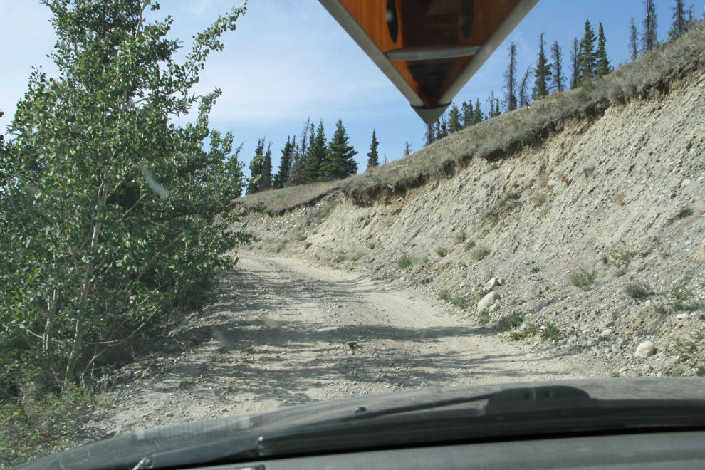
Note that the Kluane North Road is narrow with some very steep hills, and there are creeks to ford and some fairly large rocks on the road. A high-clearance vehicle with awd or 4×4 is strongly recommended.
You may notice different lighting on some of the photos below – we went to Cultus Bay/Lake twice, on Sunday and again on Tuesday when there was a fair bit of forest fire smoke in the air.
From the Silver City road, the road immediately climbs onto a bench above Kluane Lake, into the Kluane Hills. On the opposite side of the road here at Km 1.4, Jenny Lake can be seen below.
At Km 3.7, you drive through Christmas Creek. Both the drop down into and the climb out of this valley are very steep. The water in the creek was about 10 inches deep last weekend, but can clearly get much higher at times.
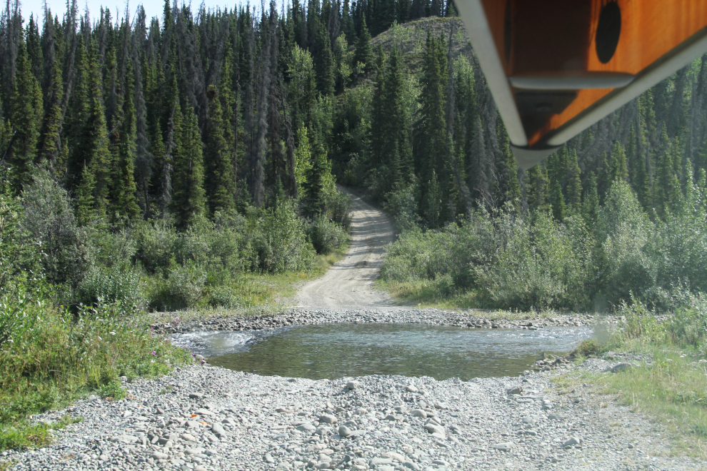
At Km 4.9, you cross Little John Creek. For a few hundred yards leading up to this point, you’re driving on what is sometimes the creek bed.
Km 5.0 – the climb out of the Little John Creek valley is very steep.
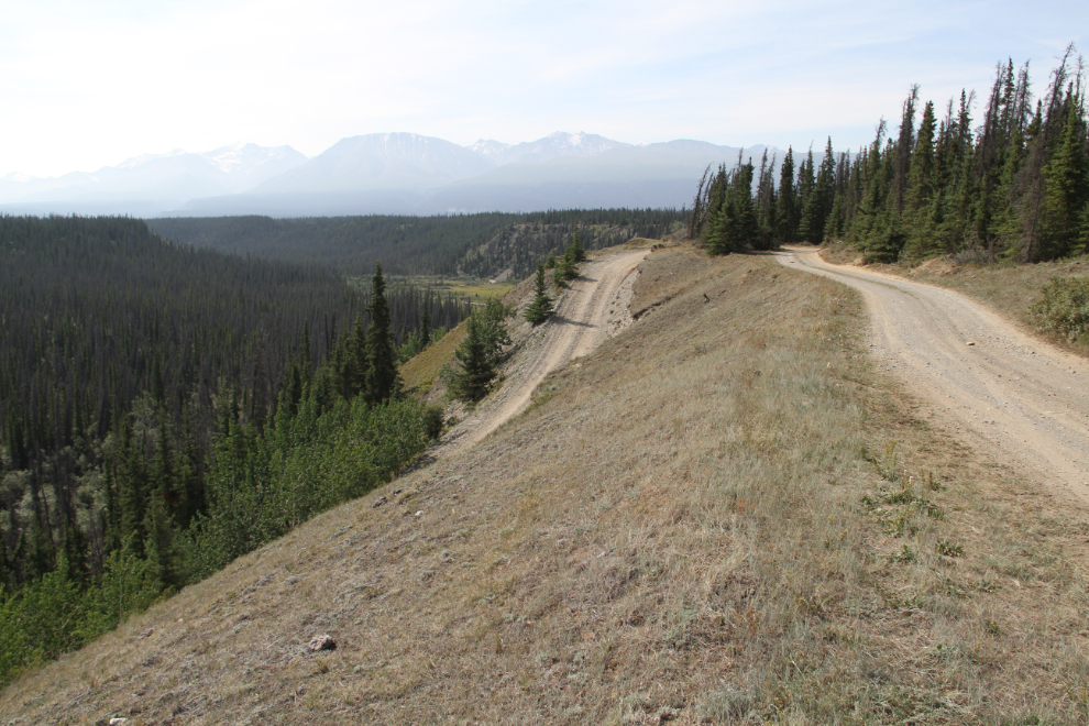
Km 5.2 – at the top of the climb out of the Little John Creek valley, the views are wonderful.
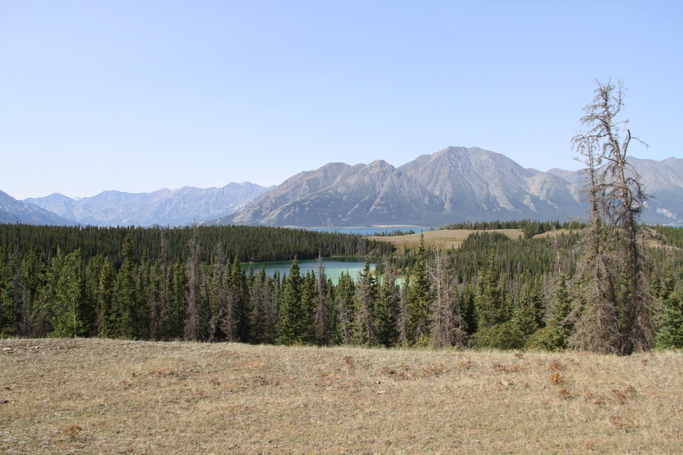
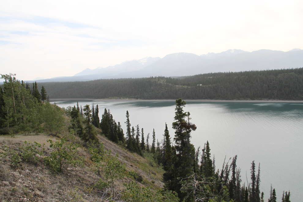
At Km 7.0, a lovely, unnamed emerald lake can be seen below, with Kluane Lake in the distance. I had a brief but unsuccessful look for access to the emerald lake.
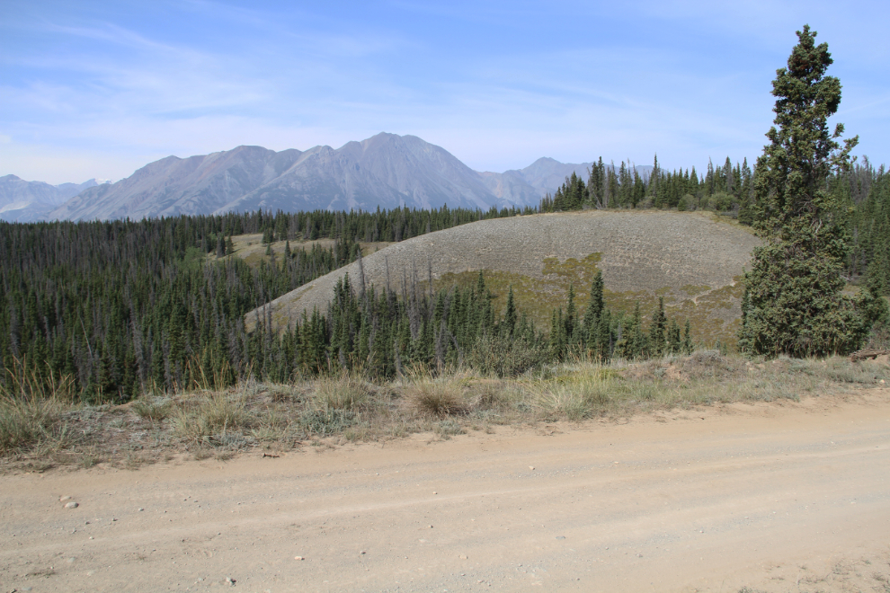
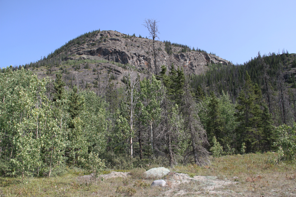
The road runs on top of glacial eskers in several places, for several kilometers in total. This esker is at Km 9.1. An esker is the sand/gravel/rock deposited by streams/rivers that ran along the bottom of the glaciers that covered this region thousands of years ago.
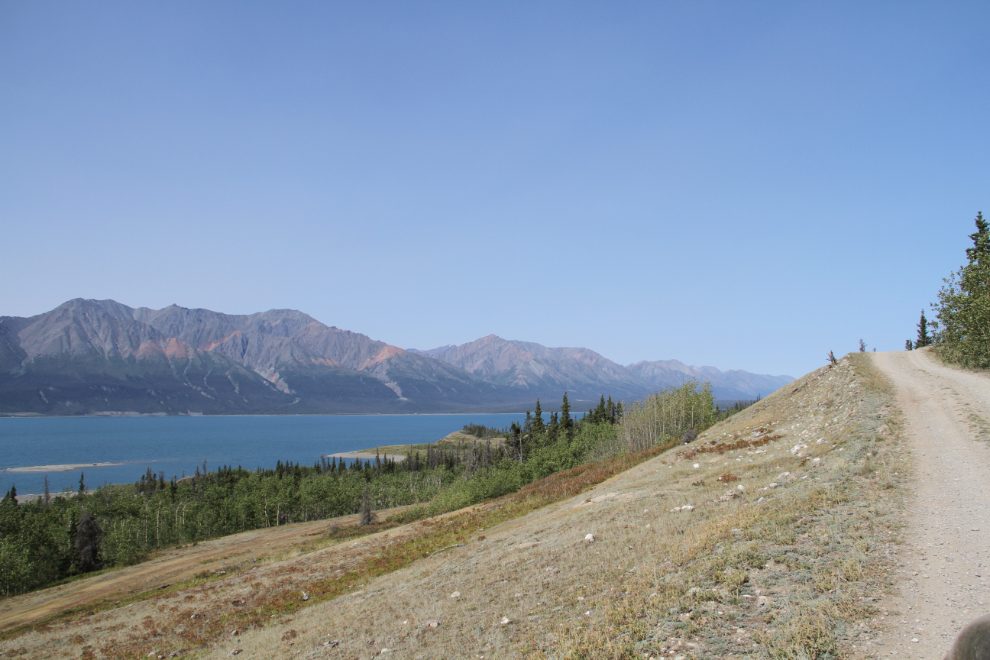
Km 12.9 – one of the many dry grassy slopes along the road that offer great views.
Km 13.1
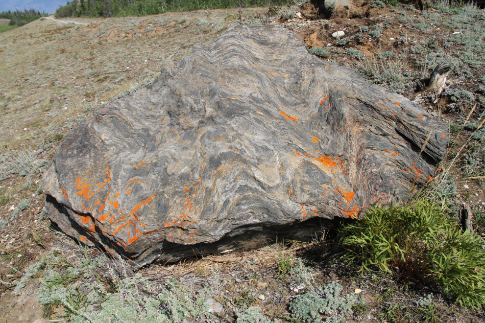
There is some interesting geology along the road. This boulder of tortured sedimentary rock at Km 14.2 is about 3 feet across.
Km 14.3
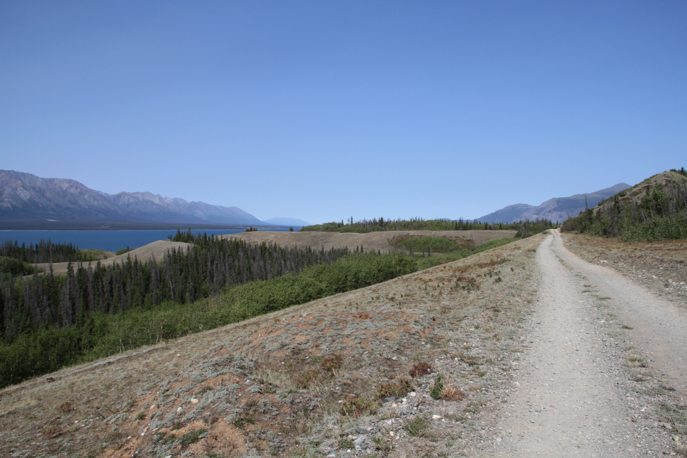
For a short distance around Km 14.9, there are some impressive cliffs towering above the road.
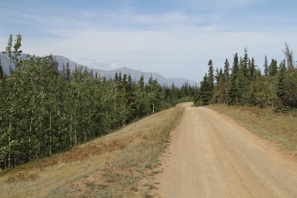
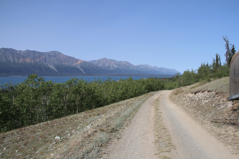
The view ahead at Km 16.5.
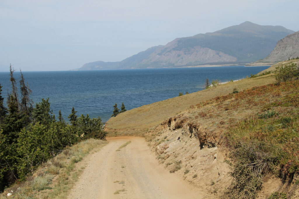
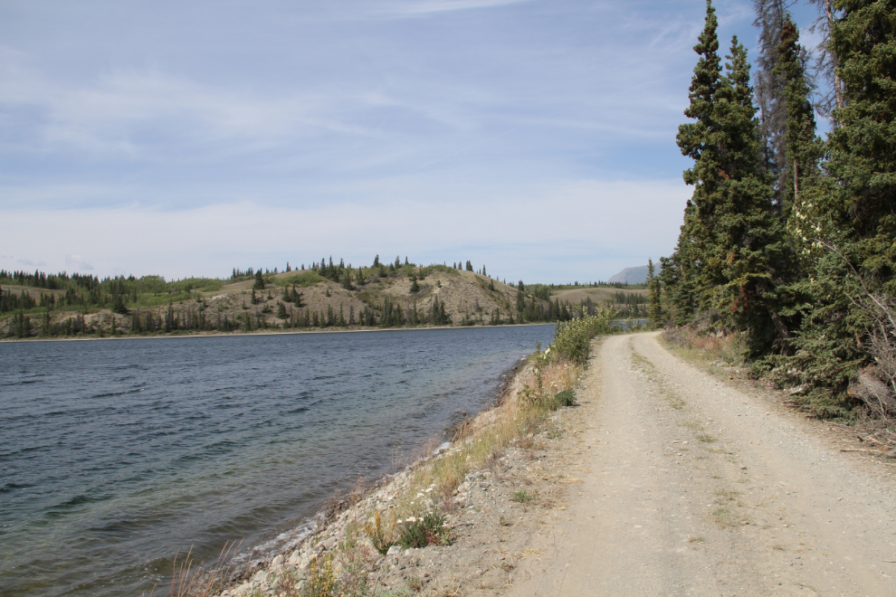
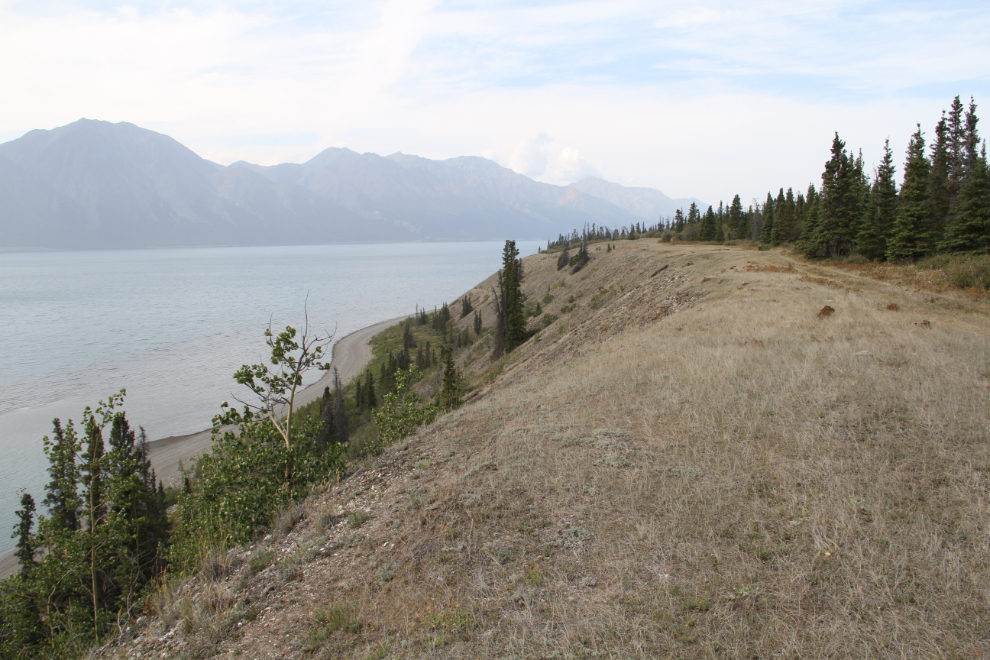
The gravel beaches of Kluane Lake below the road at Km 17.0 are enticing, offering great walking and ATV riding.
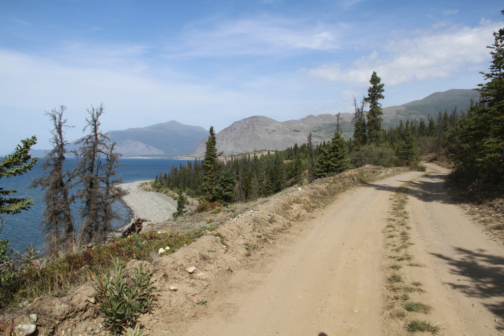
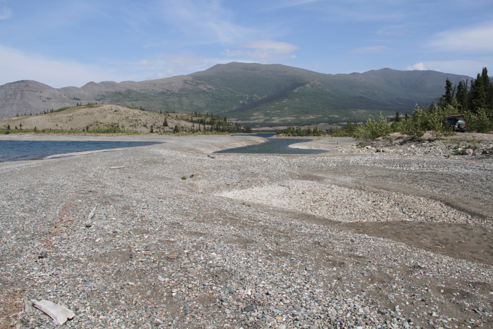
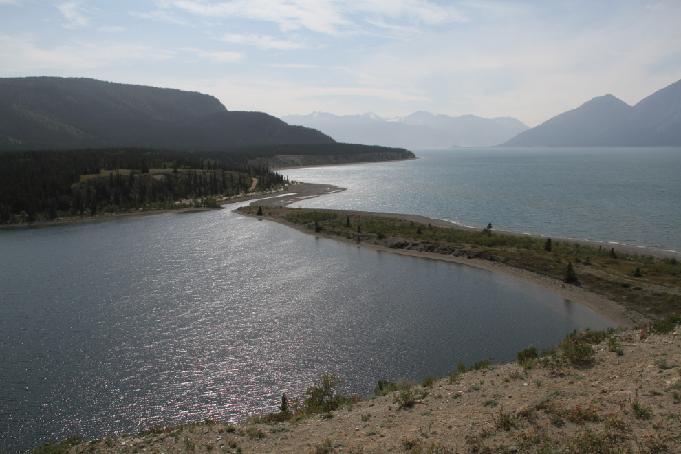
At Km 17.3, the road drops steeply down to the the point where Cultus Bay used to lead off Kluane Lake. Much of the road surface on this hill is soft dirt.
Km 17.8 – a well-used campsite on what is now Cultus Lake.
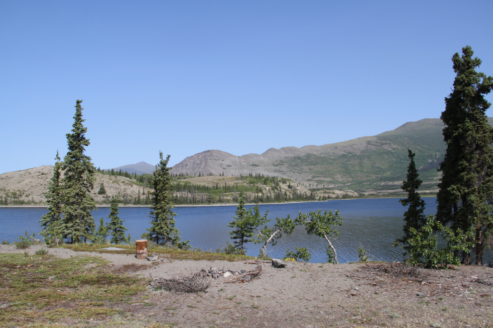
Driving along Cultus Lake at Km 18.3. Because this lake is now about 4 feet higher than Kluane Lake, the beaches are much smaller than on the big lake.
Seen from Km 19.3, a pair of Trumpeter swans were at the far end of the marsh at the north end of Cultus Lake.
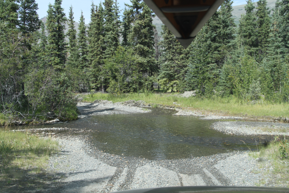
There are 2 crossings of Cultus Creek, at Km 19.8, and here at Km 19.9.
Km 22.5 is where we turned around on Sunday – on Tuesday, we didn’t even come this far. Cultus Lake was where we wanted to play and explore both days.
Two roads lead off the Kluane North Road at the south end of Cultus Lake – the one to the north is only 30 or so meters/yards long, but the south one leads onto the Kluane Lake beach and with the right vehicle could provide many miles of driving.
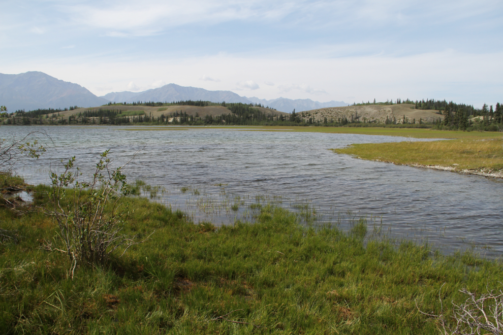
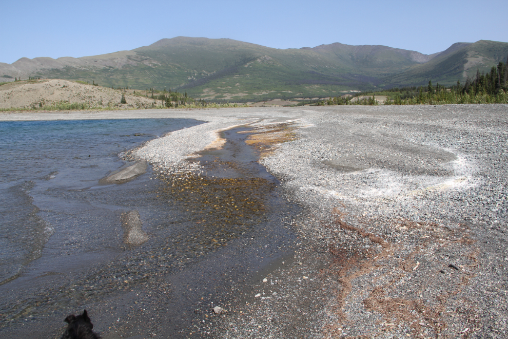
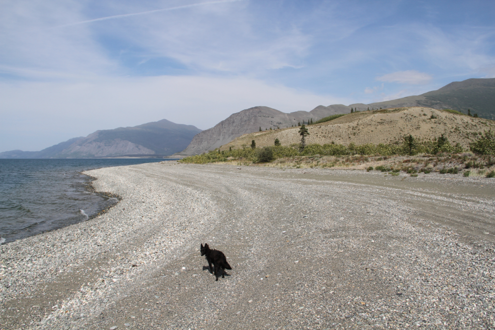
This is the south end of the Cultus Lake. There used to be a narrow channel connecting it to Kluane Lake, but now it’s a wide gravel dam.
There is some drainage from Cultus Lake into Kluane Lake, but Cultus is still about 4 feet higher than Kluane.
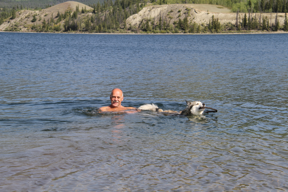
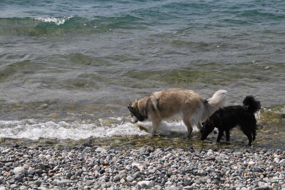
We had great fun playing in the lake. It’s still not warm, but it’s warmer than Kluane is, and Bella was hilarious. Just after Cathy took this photo, Bella started swimming back to shore, then came back to make sure that I was okay and coming with her. What a love she is!
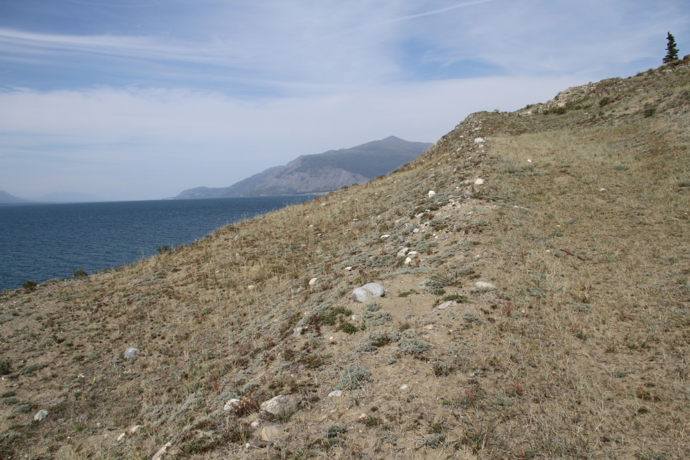
The hill to the north of Cultus looked like it would provide some good views. The beach of Kluane is so wide now that it appears you could ride an ATV right around it if you could get across the Kluane River.
An old Cat road climbs the hill.
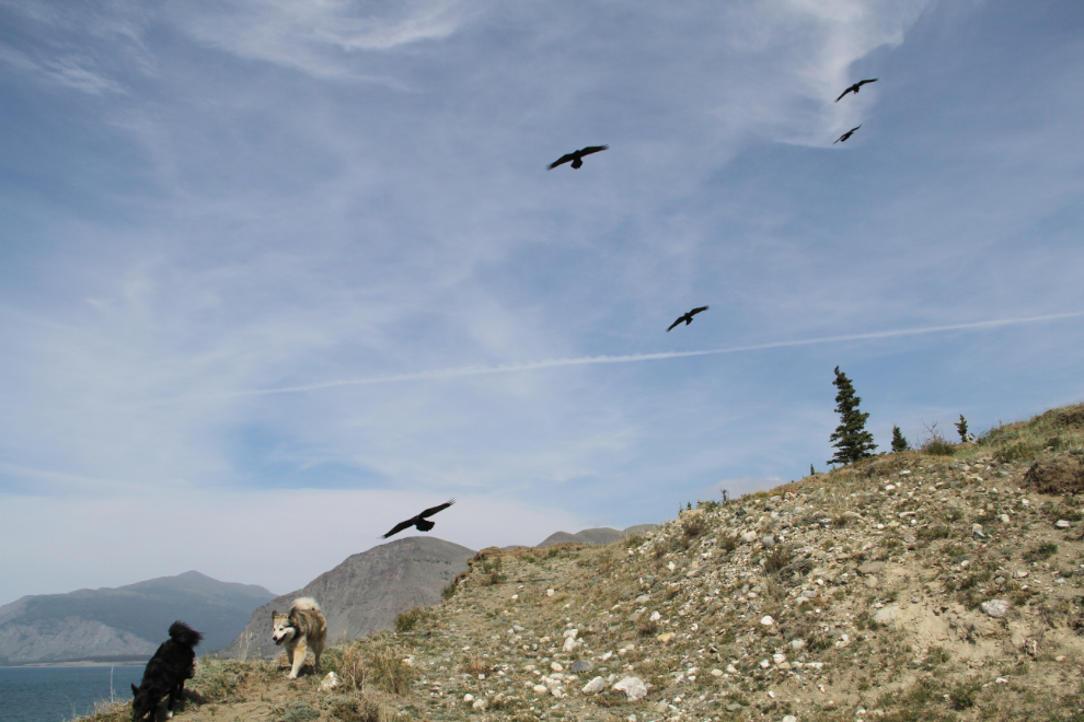
These 5 ravens started hassling Bella and Tucker as we got near the top of the hill. I never did figure what their problem was, but they sure cut our time at the top short.
The hill did provide some of the views I was hoping for, though trees blocked any views to the north, to Rat Lake, Grayling Lake, and beyond.
Getting a drink on the way back to the car.
On the drive out, I had a look at the side road at Km 6.5. The main road goes to a group of cabins, but a side road off it leads to this view of Christmas Bay.
That side road continues along the ridge above Kluane Lake, but this was as far as I went.
It’s going to be interesting to see how much Cultus Bay / Cultus Lake is going to change in the coming years. Will the lake eventually drain down to the same level as Kluane? Will the warmer water create a completely new ecosystem that will change the creatures and vegetation around and in it? There’s no end to the amount of exploring that I still want to do – and I still want to see the end of the Kluane North Road!