Hiding in plain sight – the copper mines of Rabbit’s Foot Canyon, Whitehorse
To the west of the city of Whitehorse lies a belt of copper-rich ground about 30 kilometers long. First discovered in 1898 by prospectors who had been headed for the Klondike gold fields, it was mined from then until 1920, and then again from 1967 until 1982. While the larger early mines and the more mines are quite well known, some of the smaller mines have all but vanished – unless you look hard.
About 3 weeks ago, Tim Green posted in my Yukon History and Abandoned Places group: “I found the lost portal of the Anaconda Mine today.” That attracted a lot of interest from members of the group, and Tim offered to take people out on a couple of quite lengthy hiking tours to see what he’d found out about the Anaconda and the Rabbit’s Foot copper mines. On June 30th, I joined him. The 28 photos in this post give a brief look at what we saw during a fascinating 4½ hours.
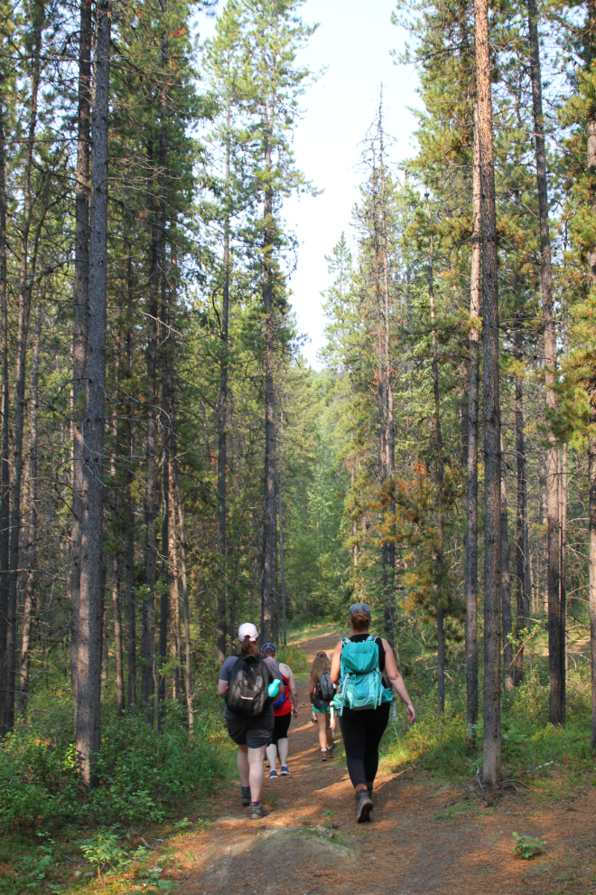
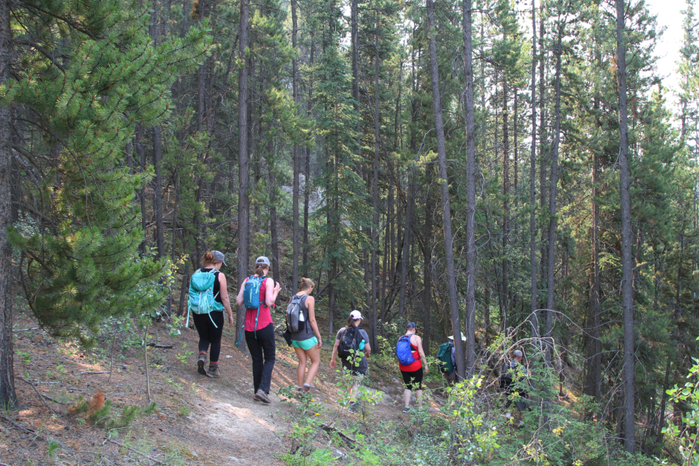
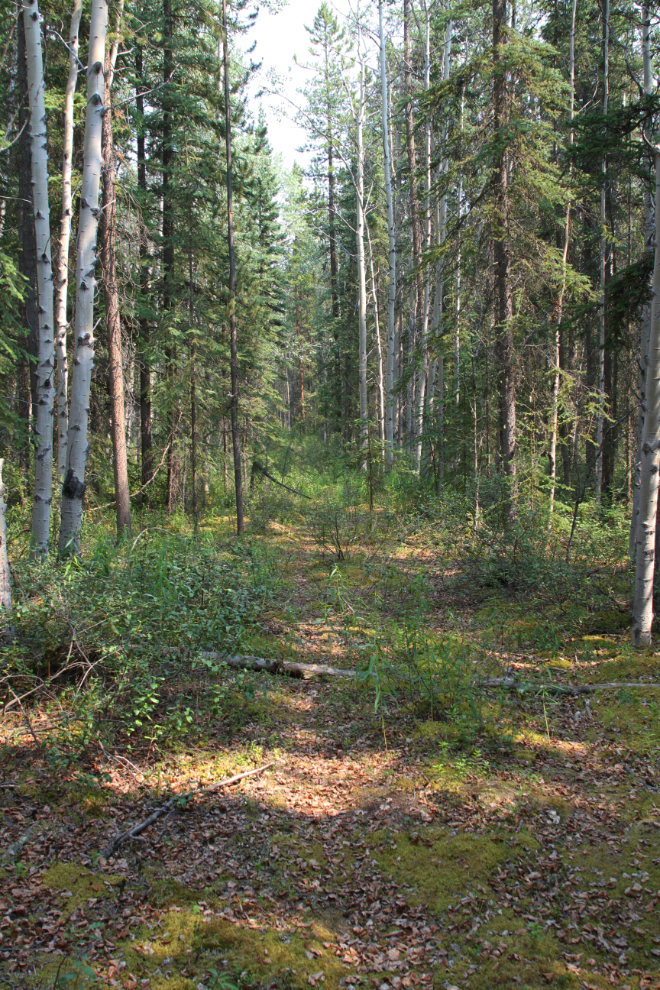
At 10:30 Sunday morning, 7 of us met Tim on Pine Street in Porter Creek, and soon started walking west into the forest along an old survey line that’s now a well-used trail.
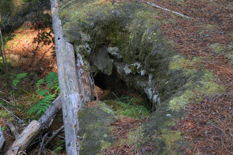
About 15 minutes along the trail, we came to the hole/structure seen in the next photo. None of us could even guess what it was for – the fact that it has a plastic liner indicated that it’s not particularly old, though. This would be the first of many mysteries 🙂
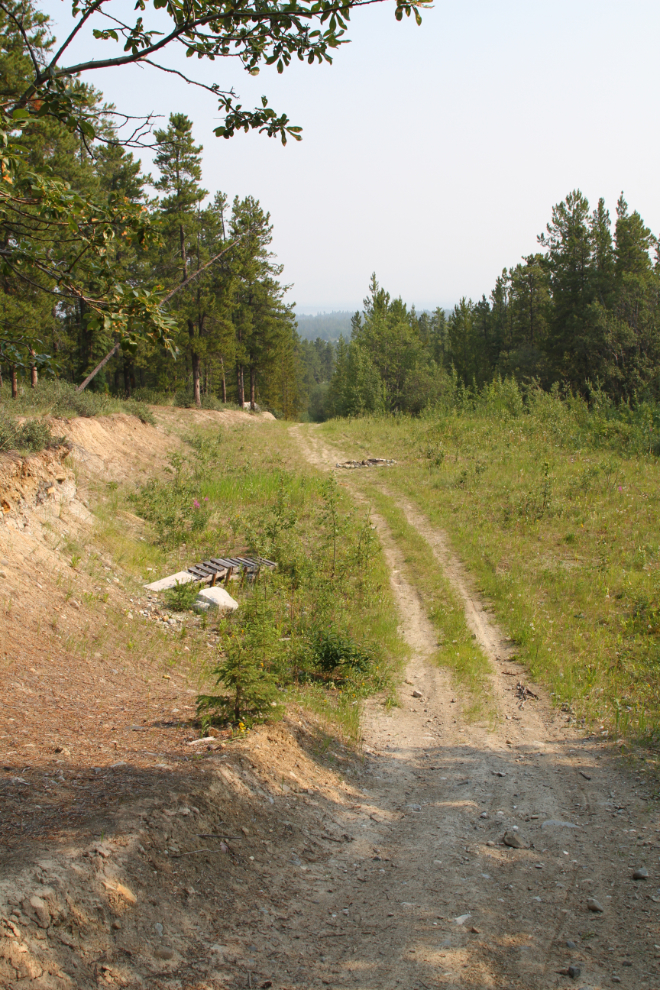
A few minutes later, we came to this large levelled area. Tim said he’s heard that it was possibly the site of a cistern for supplying water to homes and perhaps other buildings in the area many years ago.
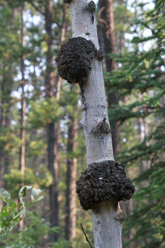
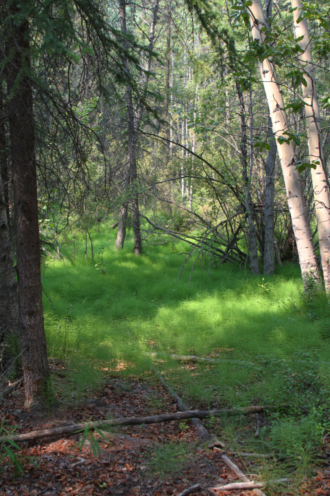
Five minutes later we came to Rabbit’s Foot Canyon, and a small area where many of the poplar trees had burls, some very large. These are caused by the tree undergoing some form of stress – a virus or fungus, or an injury. They’re very popular with woodworkers, but these ones are quite remote to harvest.
Although I’ve often wondered where the creek that the Porter Creek area is named after runs, I’d never tried to find out. Well there it is below us, running to the right alongside the Alaska Highway through Rabbit’s Foot Canyon.
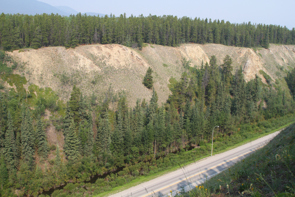
Smoke from nearly 150 wildfires burning in Alaska and the Yukon cut our visibility dramatically. I was surprised at how well used the trail is, and there are other trails intersecting it at many points.
Continuing along the lip of the canyon, we were stopped by a bald eagle sitting low in a tree ahead of us. An avid photographer scared him away, and we continued on. There were eagles everywhere, though, as there always are around the garbage dump, which is a few hundred meters away on the other side of the canyon. The garbage originally went into 2 copper mine pits, but overflowed them many years ago.
Fifty minutes from the start of our hike, Tim headed off into the forest, up a fairly steep hill. I was wondering what on earth he was doing – when he stopped, it was at this mining claim post from the very early years. He may have dated this one but I wasn’t taking notes as I should have been, unfortunately. I expect this is from the Anaconda claim.
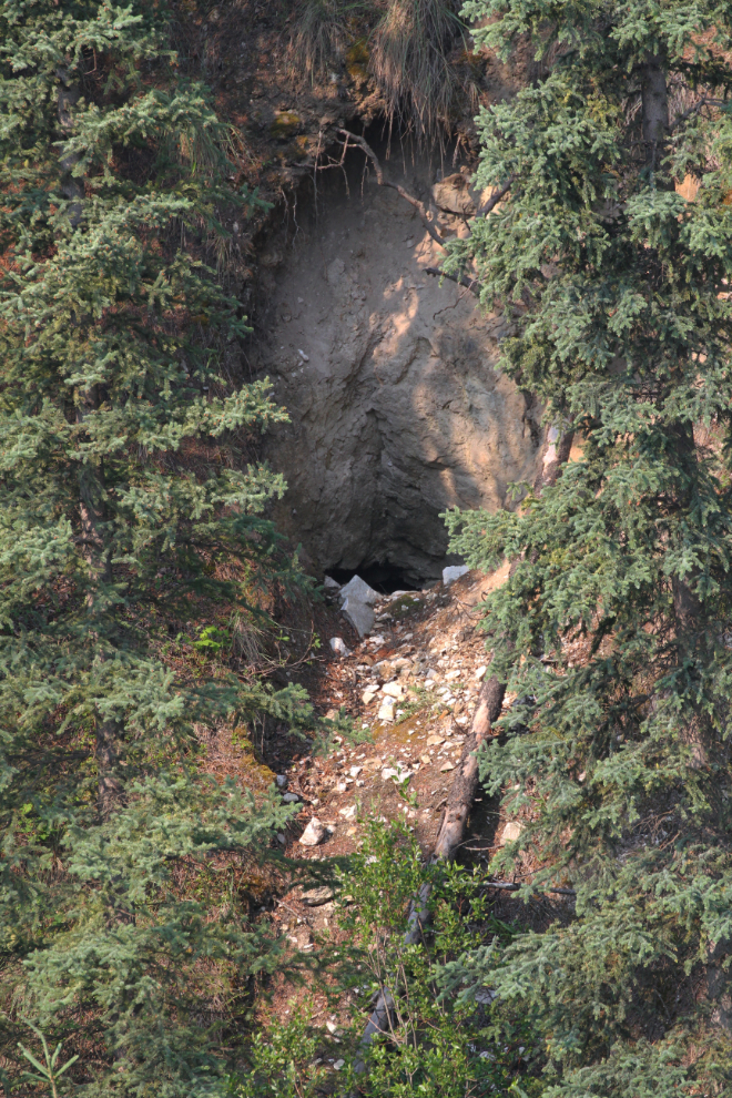
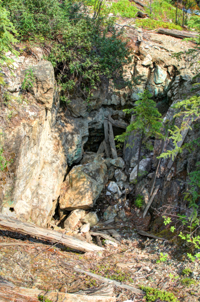
In the next photo is the lost portal of the Anaconda Mine that Tim posted in the group about. I could certainly see why it was lost – it was very hard to spot, and I switched to my 400mm lens to get this photo.
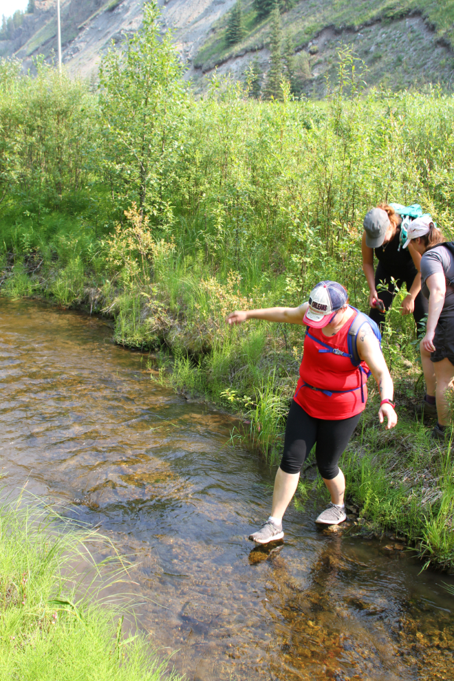
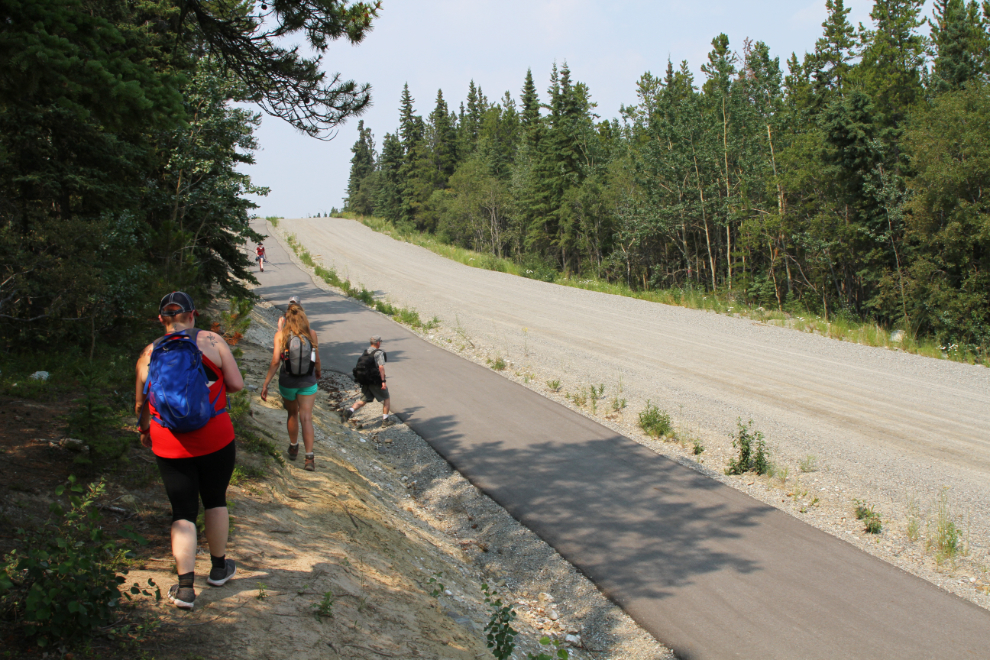
From that viewpoint, we dropped down to the Alaska Highway, crossed the highway and walked along it for a few hundred meters…
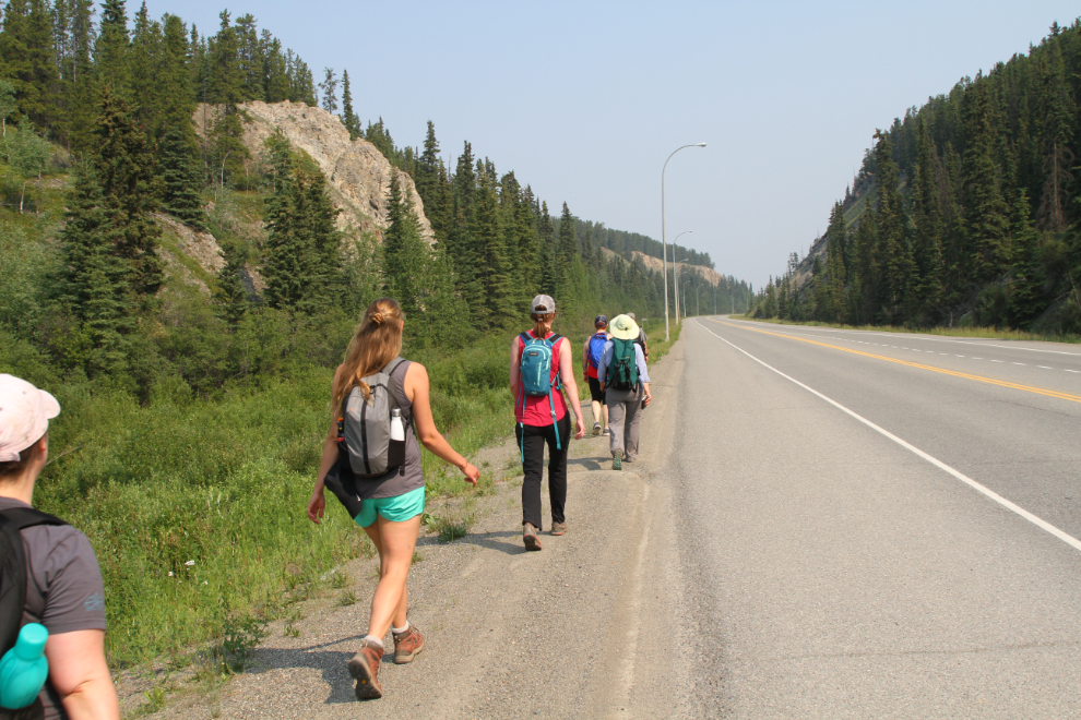
… then crossed Porter Creek in a variety of ways and climbed the bank to reach the Anaconda Mine portal.
This is it – it’s mostly collapsed and none of us had a light to see into it. A great deal more research will be needed to figure out the exact purpose of this hole is and how it relates to the rest of the mine. That same comment applies to most of the mining sites we’d see on the Anaconda and Rabbit’s Foot properties, both of which date back to 1898-1899. Only sparse records exist, though, so much will never be known.
From the Anaconda we backtracked to the garbage dump access road, walked up it and bit and then headed into the forest. The next photo shows a possible foundation of a small building. We were probably now on the Rabbit’s Foot Mine claim.
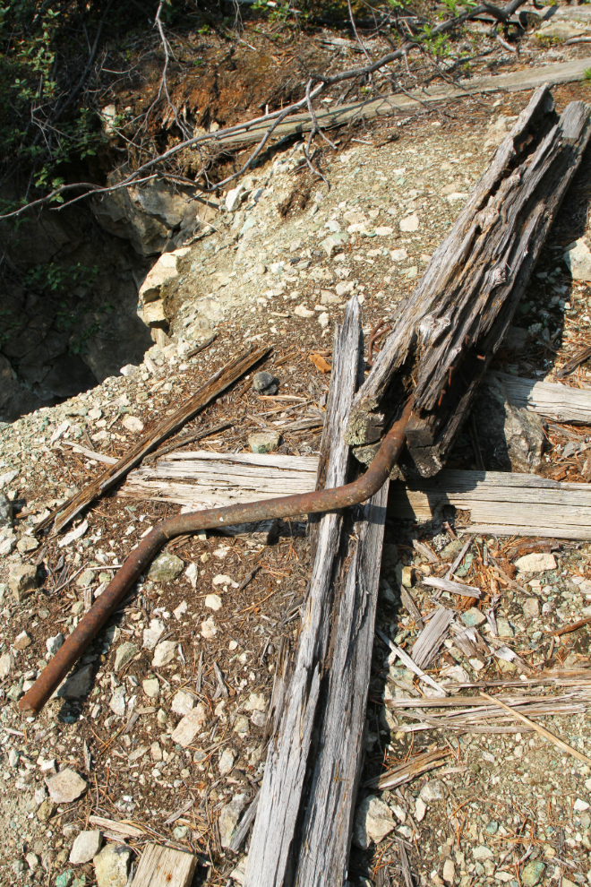
There were now pits and holes everywhere, and even some Cat trenching from much more recent testing of the property, I expect in the 1960s.
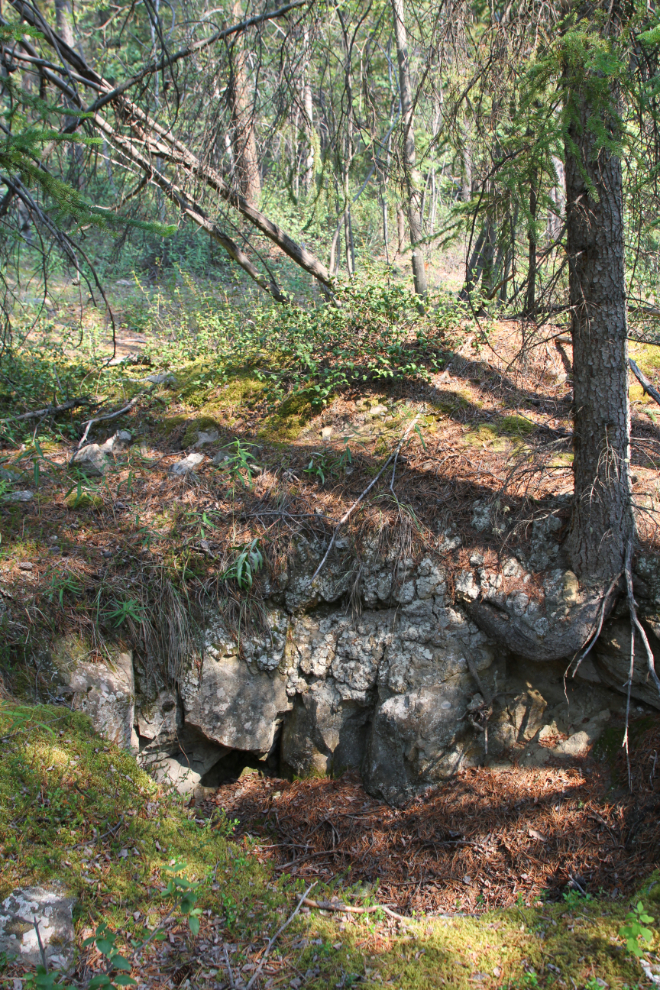
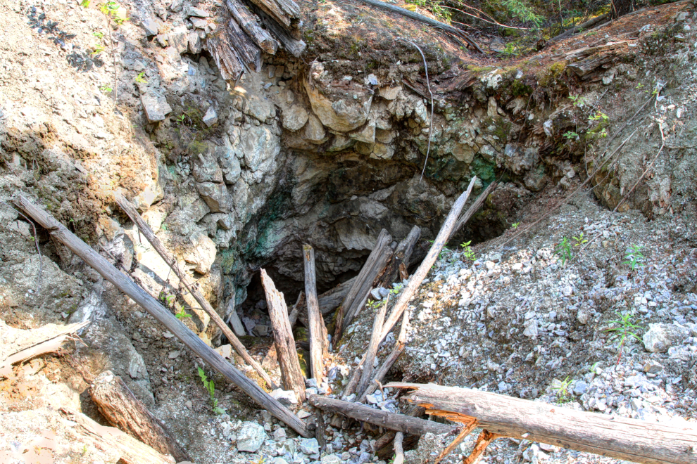
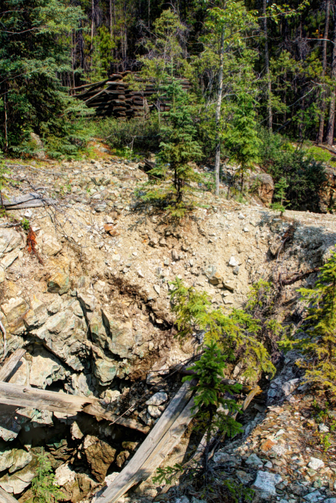
Just before 12:30 we reached the first concrete evidence of a working mine. This was one of the major entrances to the Rabbit’s Foot copper mine, ca. 1900.
To the left of the shaft, you can see some of the green copper ore they were following down.
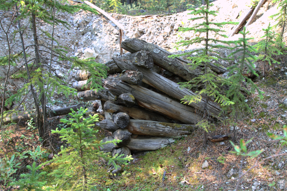
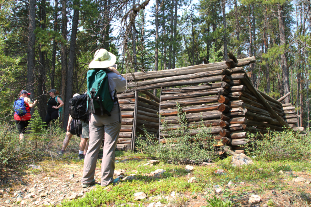
Above that hole, a substantial log cabin, perhaps the mine manager’s residence.
Beside the shaft, this hand-cranked windlass would have been connected to a rope or cable, used to bring equipment and ore up from the bottom.
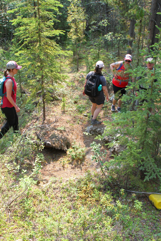
There were actually two shafts side-by side at this location. One of the important questions that may never be answered is how deep are the safts and how long are the connecting tunnels. Some of the holes we had passed may have been ventilation shafts if the workings were extensive.
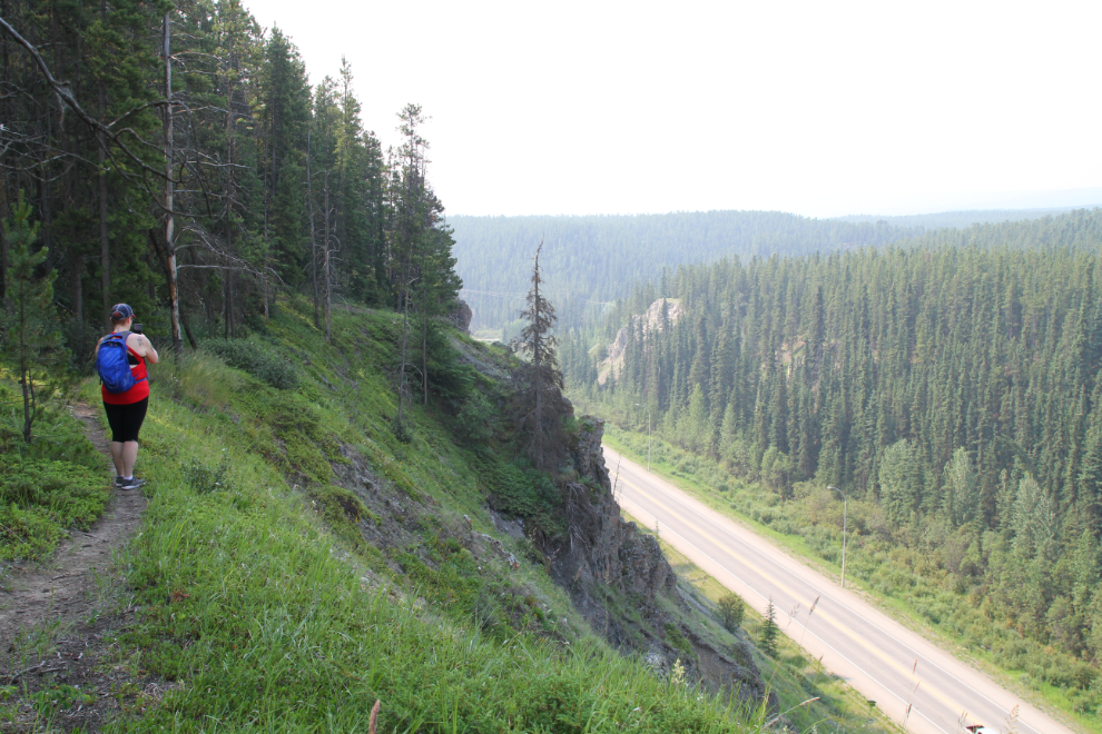
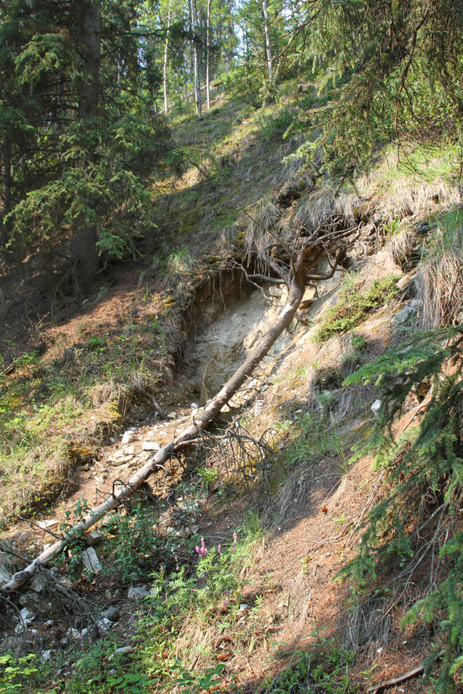
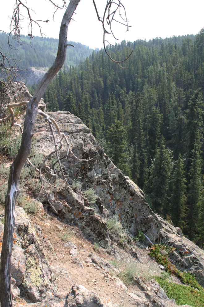
We were now due for a lunch break – it was 12:45. Tim led us to the edge of a canyon that I had no idea existed, and Tim said that’s a common reaction. He has a great story about this lost valley being the possible home of a herd of miniature mammoths that has so far escaped detection. Maybe 🙂 Porter Creek flows at the bottom of the valley, and the Alaska Highway is at the foot of it.
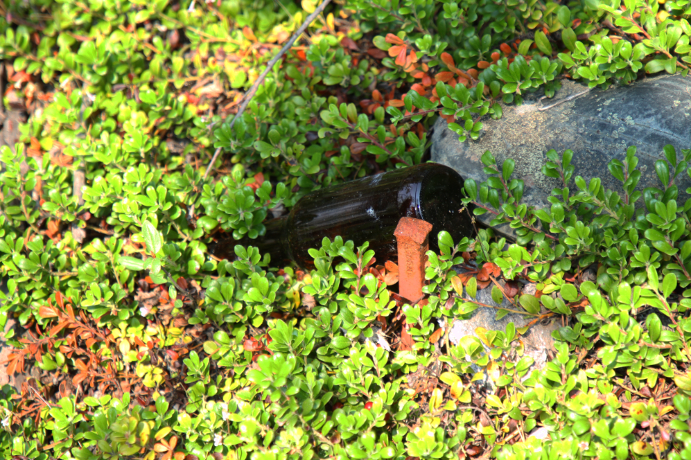
After lunch we crossed the Alaska Highway and climbed the steep slope on the side we had begun the day on. Back into the forest, Tim led us to a modern claim or property marker he had located. The beer bottle was placed so he could find it again.
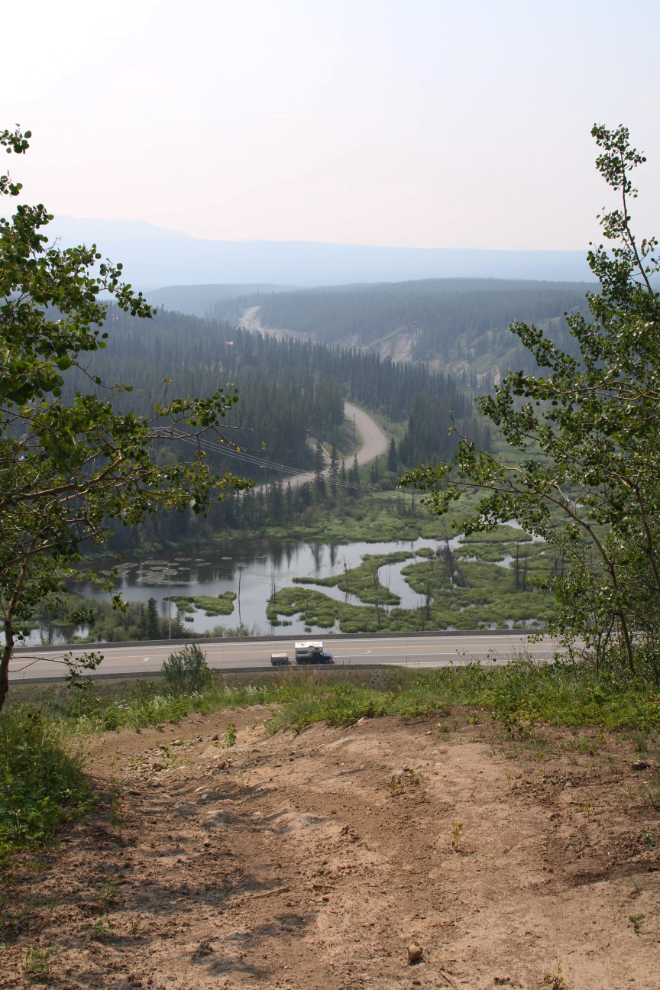
Continuing along the trail, we came to a view looking across the highway and up McIntyre Creek. The road to the right leads to Fish Lake, one of the most popular places for aurora photography once the skies get dark at night again.
Our path led to a section of the original Dawson Overland Trail, and a side trail led to this marshy area.
Ah, the intrigue of old trails! I had no idea any of the trail still existed right in the city.
All of a sudden at 2:30, we were back in the city, albeit a rather remote part of it. This is Pine Street – we had begun just a few blocks away. But Tim wasn’t finished yet – we crossed over and went down another trail.
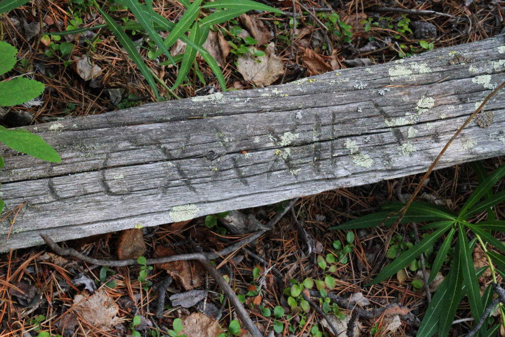
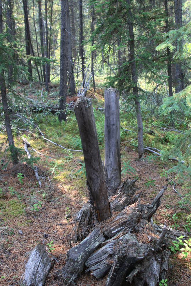
The final site of mining interest was a group of several early mining claim posts. It’s quite remarkable that the climate in the Yukon is so dry, wooden posts are still in fairly good condition after well over a century.
We got back to our cars almost 4½ hours after starting out exploring. If I hadn’t already made plans, I would have gone out on Tim’s next tour the following weekend, this time taking a GPS and notebook. His passion for these mines is certainly contagious. Even beyond the mining history aspect, to be able to go on a hike like this in the heart of the city certainly substantiates our claim to being The Wilderness City.