Clinton to Whitehorse, Highway 97 / Alaska Highway
Everyone who travels a lot develops their own style, their own preferences. For me, it’s all about the journey – in most cases, getting to a “destination” is anticlimactic and I want to get moving again. When Home is the destination, however, different rules apply, and it was wonderful to get home just before 6:00 pm yesterday.
On trips like this one, I do enjoy slowing down when everything comes together, but this time that never happened, so it was a very quick trip. The drive from Vancouver to Whitehorse took 53 hours, with only one motel stay, and only 4 proper meals.
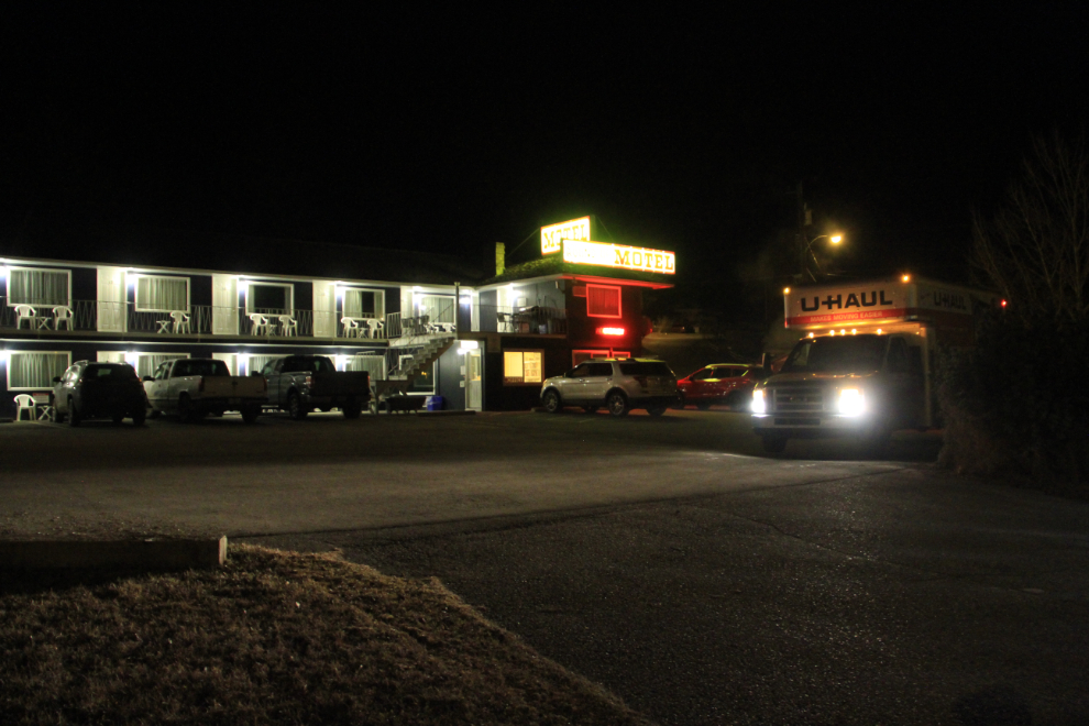
Because I had only reached Clinton instead of Quesnel on Wednesday, I had 3 hours to make up to reach Fort St. John for a meeting I had set up with another travel blogger at 3:00 Thursday. A further complication was that northeastern BC runs on Alberta time, losing another hour from my day. As a result, I was away from the motel at 02:45.
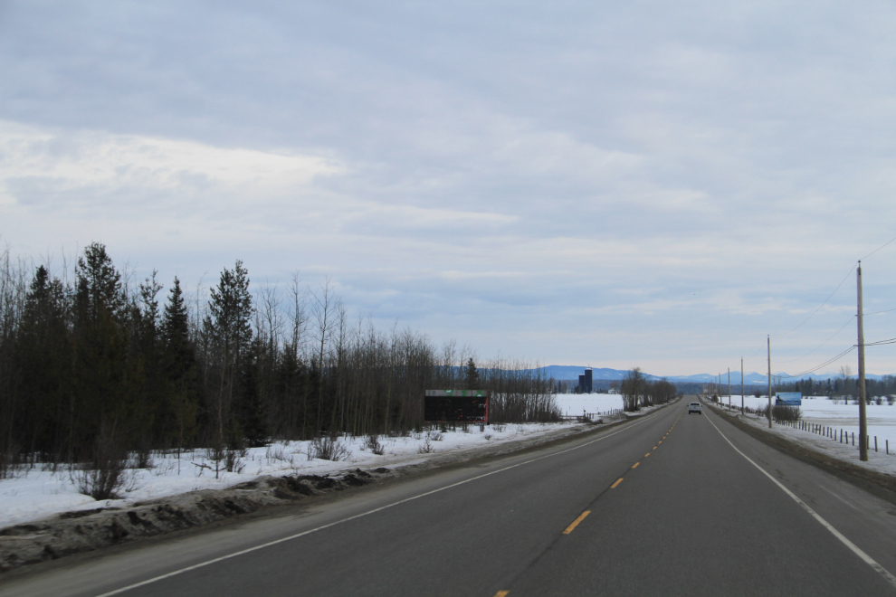
I stopped for a large though quick breakfast at McDonald’s in Quesnel, and was on the John Hart Highway north of Prince George when I shot this at 08:20, as normal people were just getting their day started 🙂 This is the point where I always start to feel like I’m in the North again – I know that Prince George likes to think of themselves as being “North”, but they’re just not, they’re simply close.
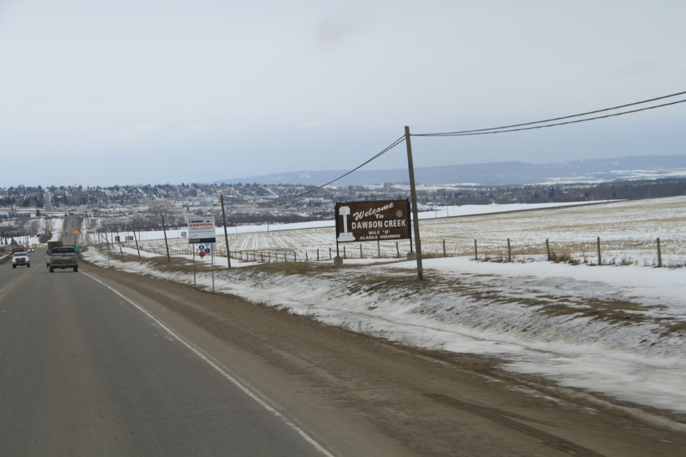
I reached Dawson Creek at 1:25 local time, allowing for a short visit to the art gallery, as planned.
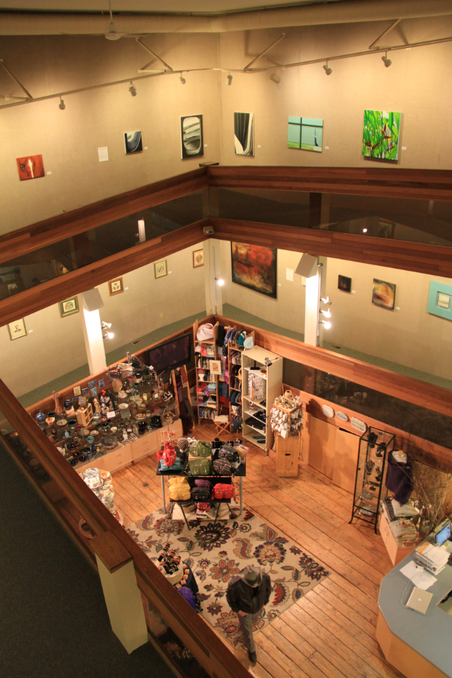
I visit the Dawson Creek Art Gallery fairly often. This was the final day of a show titled “am-big-u-ous”, featured 5 local artists. Given my time crunch, the main reason for my visit was to get up-to-date photos for my next post at HelloBC, about the art gallery.
I made it to the charming Whole Wheat ‘n’ Honey cafe in downtown Fort St. John just a few minutes after the arranged 3:00, and that few minutes was taken up by finding a parking spot, so I was pretty pleased with my time management under these conditions!
The blogger I had arranged to meet is Gemma Taylor, who runs Off Track Travel, a travel blog that I got introduced to a few months ago when Gemma and her partner JR were in the Yukon. I thoroughly enjoy her writing style and photography, and the hour we spent chatting (mostly about travel in many forms, not surprisingly) was a great break from the road. Our paths will almost certainly cross again when I have more time.
The weather had so far been somewhat better than the forecasts had indicated, but conditions got quite bad as I left Fort St. John on the Alaska Highway, with high winds and blowing snow on the icy road.
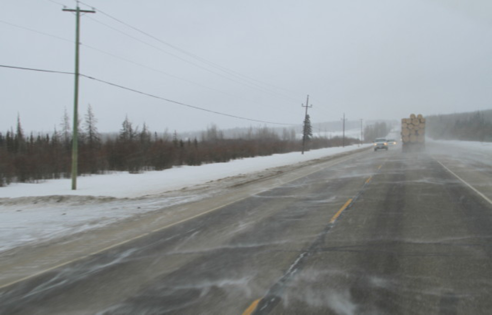
I’ve been stopping for meals and accommodations at The Shepherd’s Inn at Historic Mile 72 of the highway every since I started driving the highway in 1990, and they’ve never disappointed me. It was the perfect place for a big meal and pleasant conversation before starting what I knew would be a long night.
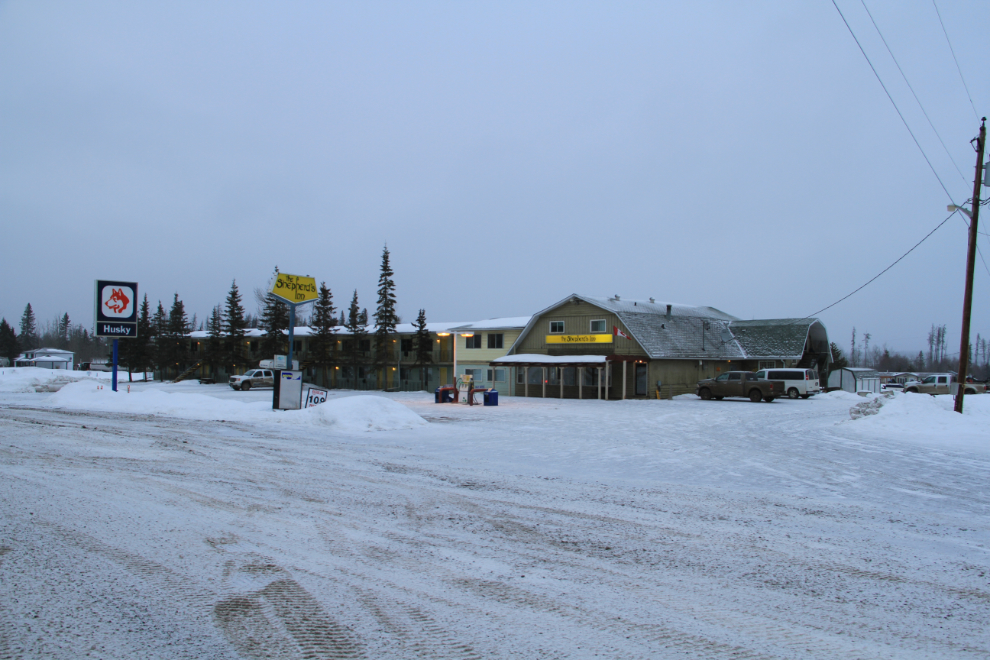
The snow was erratic, luckily, and there was less commercial traffic than normal on the highway. Some of that commercial traffic, though, is grossly underpowered for these hills and I was caught in one of the resulting slow parades for a very long time. The clearing and lights on the hill mark the location of one of the hundreds (maybe thousands) of gas wells in the area.
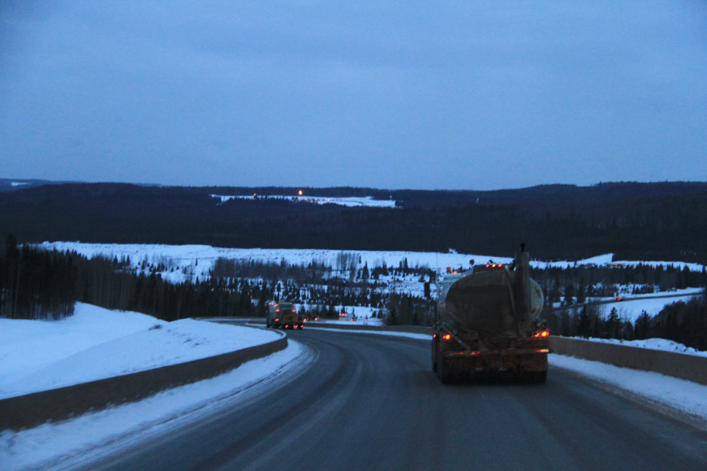
This one of the oldest remaining lodges on the Alaska Highway, the Buckinghorse River Lodge at Historic Mile 175. This was just a fuel stop for me. I was surprised to see almost nobody else here, as had been the case at The Shepherd’s Inn. I’m assuming that this is because of the tens of thousands of recent layoffs in the oil and gas industry.
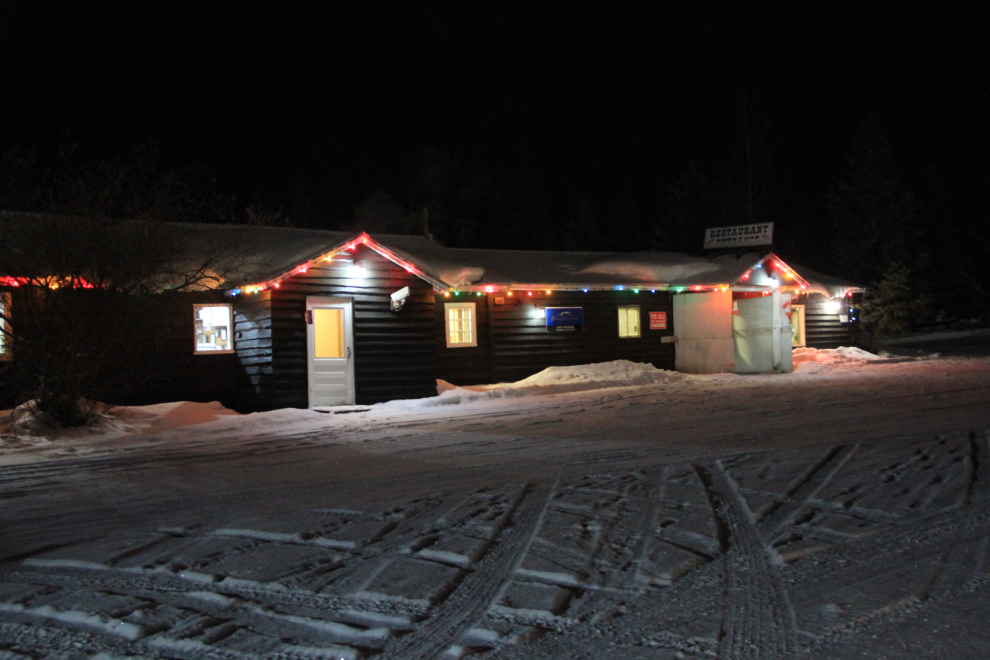
Traffic thinned out considerably past Buckinghorse River, but the snow increased so I stopped and had a couple of hours sleep at a pull-out. After hundreds of kilometers of seeing virtually nothing man-made along the highway, the large Spectra Energy gas processing plant 20 km south of Fort Nelson is quite a shock.
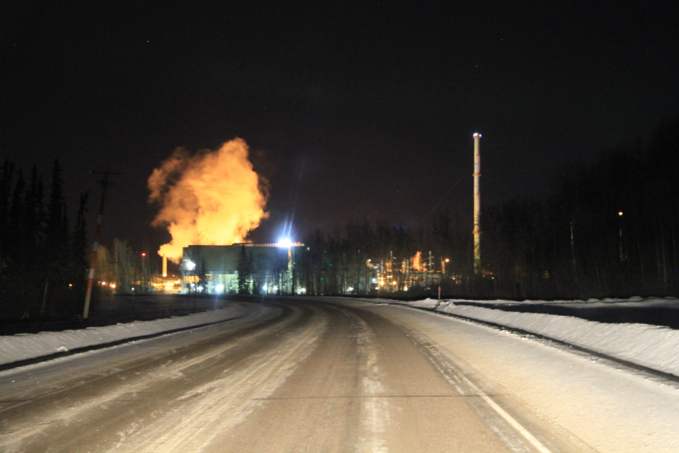
Normally, Fort Nelson is an overnight stop for me, but the weather forecast was for clear skies to the north and the aurora forecast was also good, so I confirmed my earlier thought to continue on and do an all-nighter aurora search.
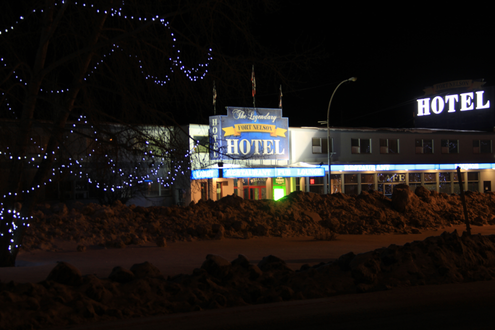
I saw this scene as I drove past, thought about it for a minute, then did a U-turn and came back to set up my tripod and get the shot. I haven’t stayed at the Fort Nelson Hotel for many years, mostly because I’m quickly passing through and want cheap and park-in-front-of-my-room convenient.
On Steamboat Mountain I came upon a truck accident – a B-train semi tanker jack-knifed into the ditch. He seemed to have lost traction on the extremely icy hill and then slid backwards into the ditch. I slowed to a crawl but didn’t see anybody around, though it looked like it happened just minutes before.
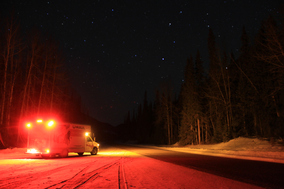
Although the skies were clear north of Fort Nelson as forecast, there was no aurora, so at about 01:00 I pulled over south of Summit Lake and went to sleep. I shot this at 04:15 as I was about to get back on the road. One of my Facebook friends commented that he never drives this section at night anymore because of the number of animals. Most of my winter sports charter driving took us through here at night, though, and it’s just slower at night.
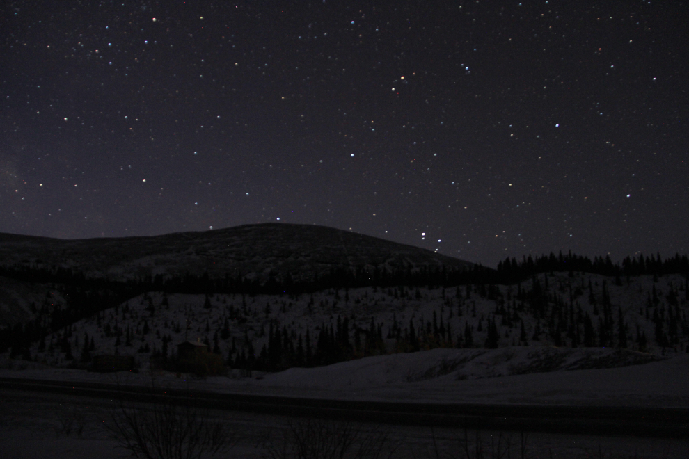
I stopped again at Summit Lake with the idea of just sitting and enjoying the night, but an extremely strong north wind made it unbearably cold there even with all of my winter gear on. By tucking in behind the tuck I was able to get this one photo and then continued on. The buildings seen in the photo are across the road at the Summit Lake Campground.
That bitterly cold stop brings up some of the things that need to be kept in mind when planning a drive like this. First, I could pack everything I need into a daypack, but I carry a suitcase full of survival gear including an Arctic-rated sleeping bag. When stopping at places like Summit Lake, if I’m going to leave the vehicle running, I roll the window down. All it would take is to lock myself out of the vehicle to die – death by freezing would be almost certain before another vehicle came along unless I was able to find something heavy enough under the snow to break a window to get back in.
It was looking like sunrise could be really pretty, so I stopped at Toad River Lodge at Historic Mile 422 to kill some time by having breakfast. This was the most expensive gas of the trip at $1.359. When I pulled away at 07:20, the sun was just starting to light up the peaks ahead.
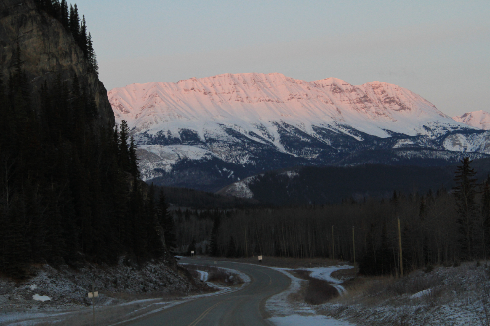
The dawn wasn’t as pretty as I thought it might be, but with scenery like this, adding some colour isn’t that big a deal!
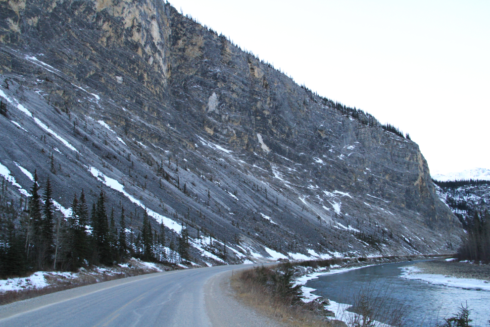
The first animal of the trip (!!) – a lone moose munching on creek-bed willows near Muncho Lake. I backed up to get this shot, and he left, though slowly.
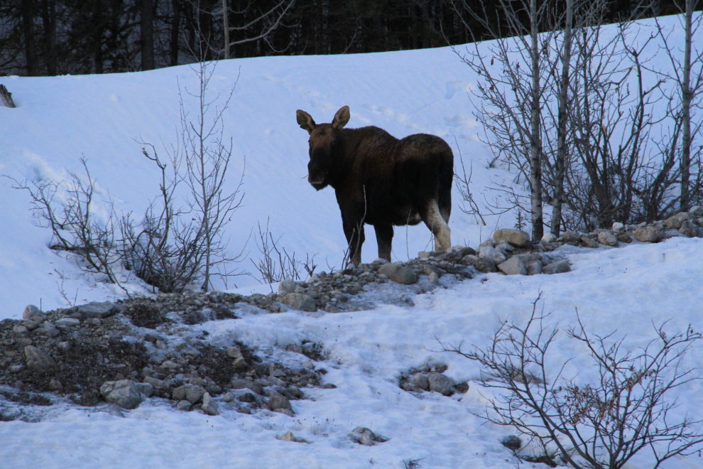
Muncho Lake. I’m using this as the definitive shot to show why I do this drive over and over and over again. Every day is different, and I simply never get tired of seeing this country in all of its varied moods.
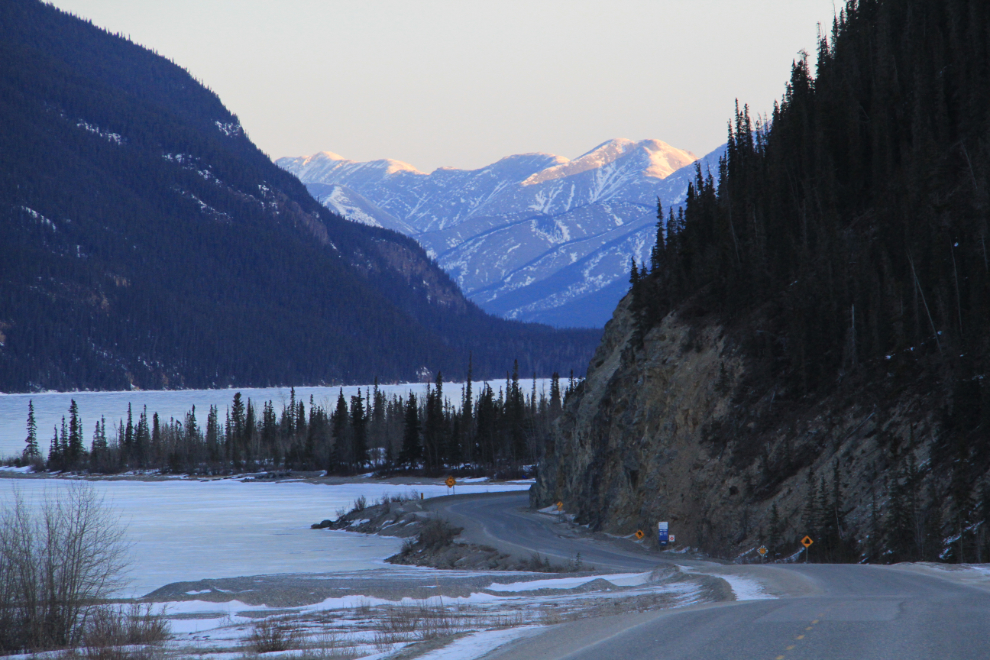
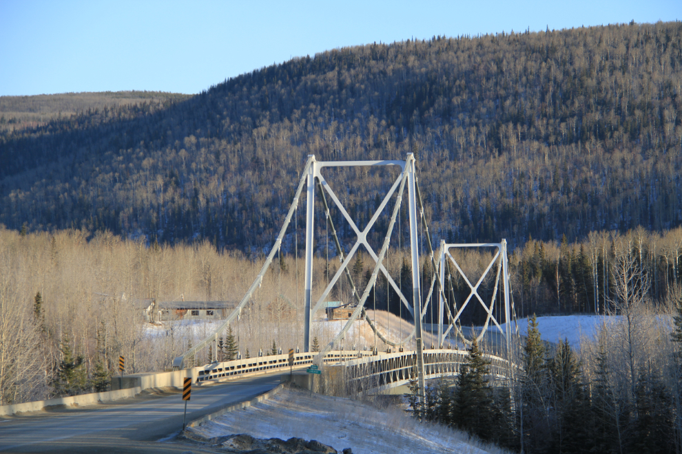
The Lower Liard River Bridge, built in 1943, is the last remaining suspension bridge on the Alaska Highway. The Liard River Lodge on the left was abandoned about 15 years ago.
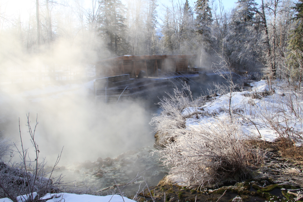
I thought about not stopping at Liard River Hot Springs, but decided to go in and spend a while soaking away some aches.
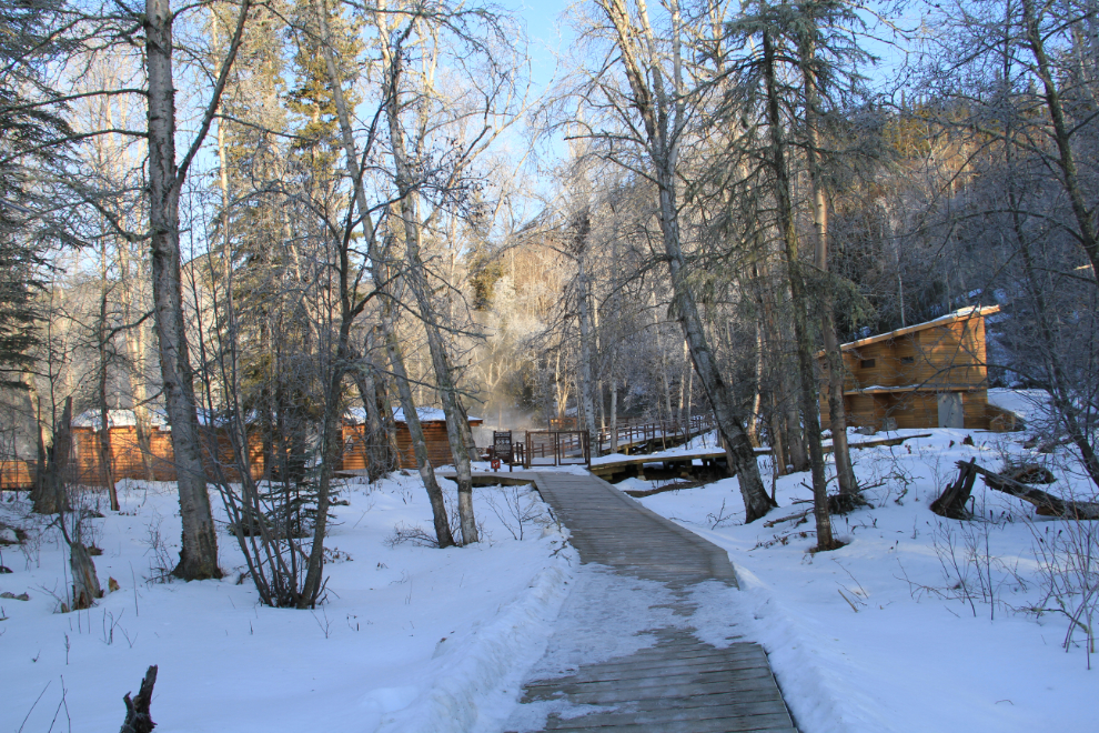
Oh yeah, good idea! I had the pool all to myself, so I didn’t even have the hassle of dealing with a wet bathing suit 🙂
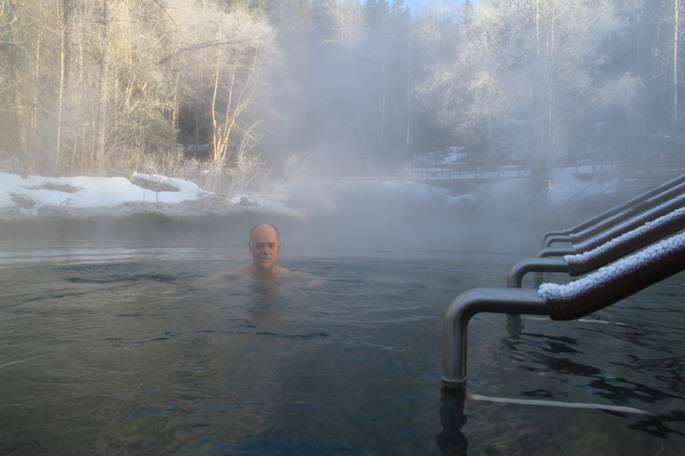
The new facilities are really nice. There are even mats along the deck so your feet don’t freeze to the wood. The temperature wasn’t bad, though – perhaps -15°C (=5°F).
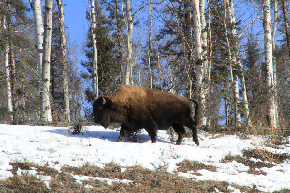
Over the next couple of hours after leaving the hot springs, I must have seen almost every wood bison in the herd – about 250 of them. Last summer I met a couple who came to the hot springs specifically to see bison after having someone at a visitor centre down the highway assuring them that they would. They saw no bison, and didn’t believe me that the bison were always north of the hot springs, only occasionally south of them.
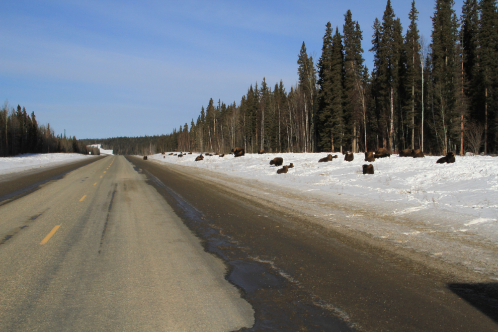
The bison were scattered along the highway for some 130 kilometers (80 miles) yesterday, from about 5 k north of the hot springs to 2 k south of Contact Creek. There were 3 herds of 50-60 animals each, and many small groups and individuals.
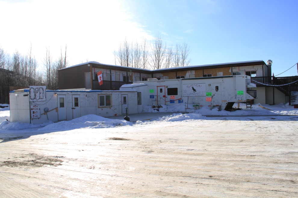
Although I wasn’t hungry or thirsty particularly, I stopped at the new cafe at Fireside to see how things were going. They just opened last June after buying the long-abandoned property. It doesn’t look like much yet, but the cake, coffee and conversation made me really glad I stopped. I suggested among other things that if a trail could be built from the lodge down to the foot of Cranberry Rapids it could be an excellent attraction, and it’s already in their plans.
The highway itself was in terrible condition for hundreds of kilometers north of the hot springs. A warm spell had melted to packed snow on the highway enough to turn it into glare ice, which had then pot-holes. It was as bone-jarring and deafening a drive as I’ve even had on the highway, all because the Highways contractors didn’t run a grader over it when it was soft.
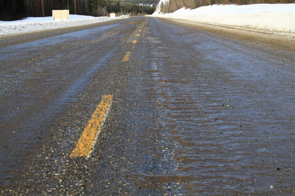
I didn’t take any photos north of the road surface one that was shot just south of Watson Lake – I just wanted to get home. Just before 6:00, I was back with my family. I slept for 9 hours last night, and now it’s time to post this and get the U-Haul into town, pick up my car at the shop and then probably come back for some time in the hot tub (there are still some sore spots to deal with 🙂 ).