Canoeing the Yukon River, Part 5: Fort Selkirk to Ballarat Creek
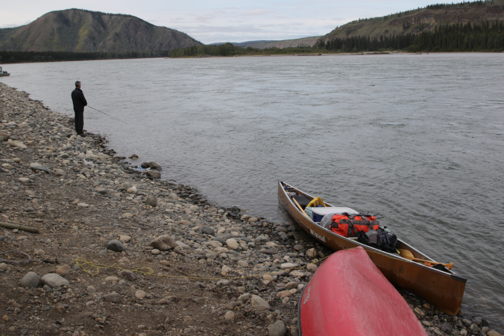
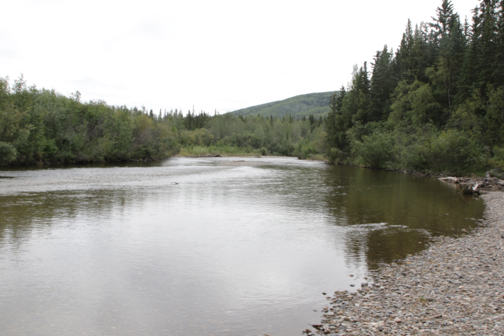
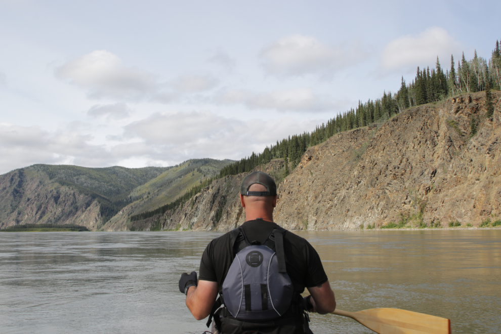
We landed at Fort Selkirk at 3:30 Sunday, August 17th, Day 7 of the trip. Our plan was simply to see a bit of the community, then continue on our journey down the river. The first photo shows the view downriver, to the northwest.
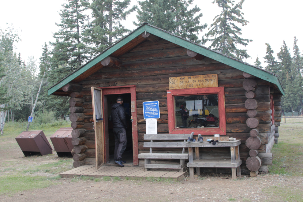
The campground is beautiful – it’s the only nice one on the river. This is the kitchen shelter. The sign over the window says “May the angels guide you safely on your journey. Good-luck!”
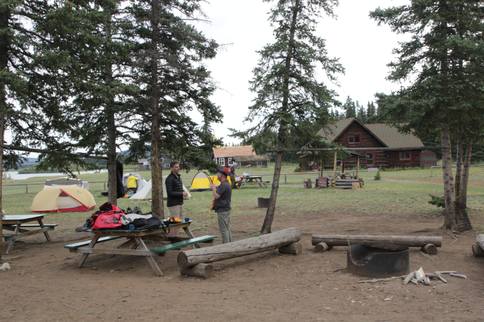
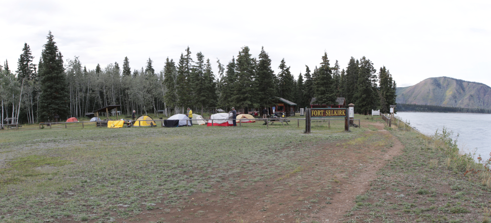
Another couple of views of the campground.
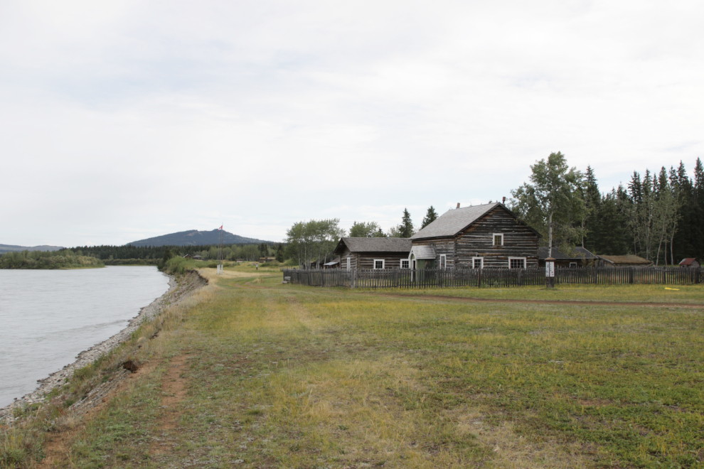
Looking upriver to the community. The Anglican rectory and schoolhouse are the first buildings shown. I have extensive coverage of Fort Selkirk on my “Explorer’s Guide to Fort Selkirk, Yukon” page, including links two blog posts from previous visits, with a total of 99 photos.
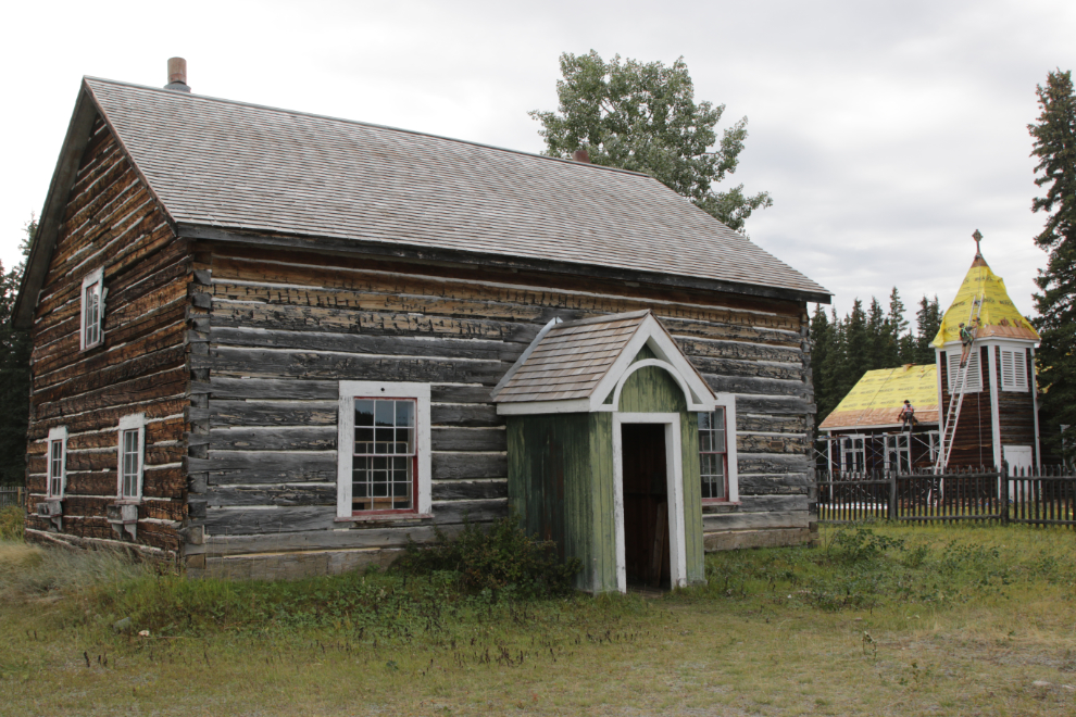
The rectory.
A sign warns people not to enter…
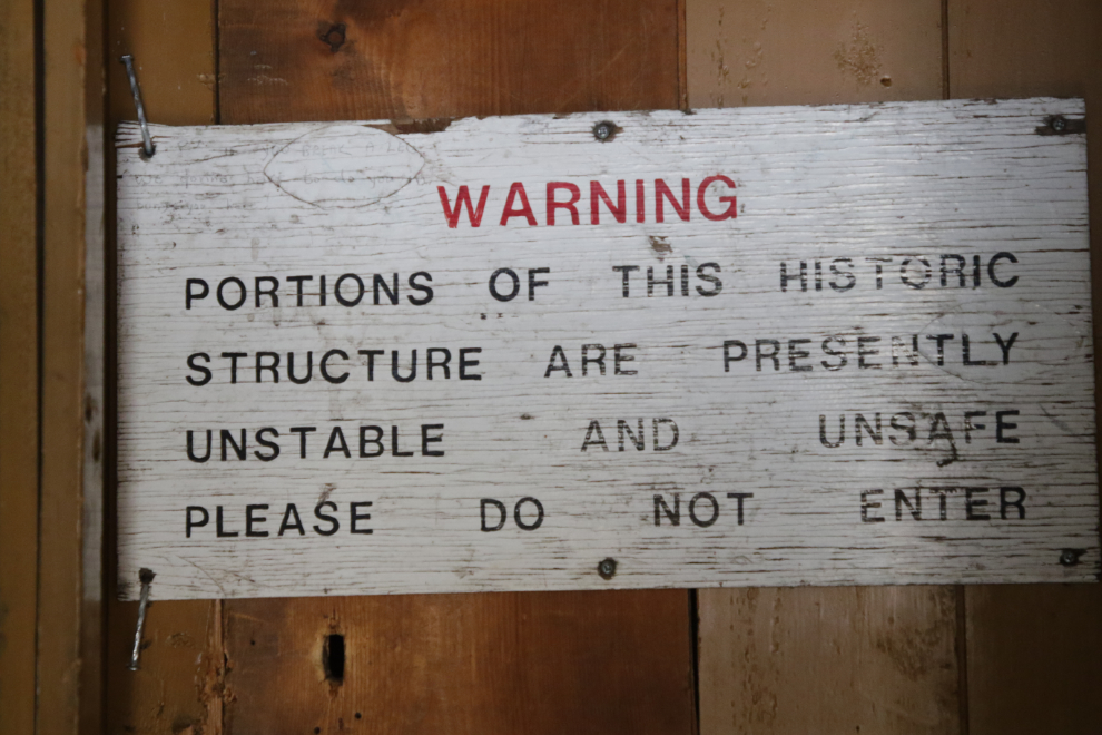
…and Steve was not happy that I went in anyway, but I had a specific photo in mind. I had another in mind on the top floor, but didn’t go for that one. St. Andrews Anglican Church, built in 1931, was getting a new roof.

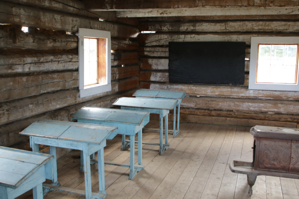
The schoolhouse. It has been moved further and further from the river as the bank gets eroded.
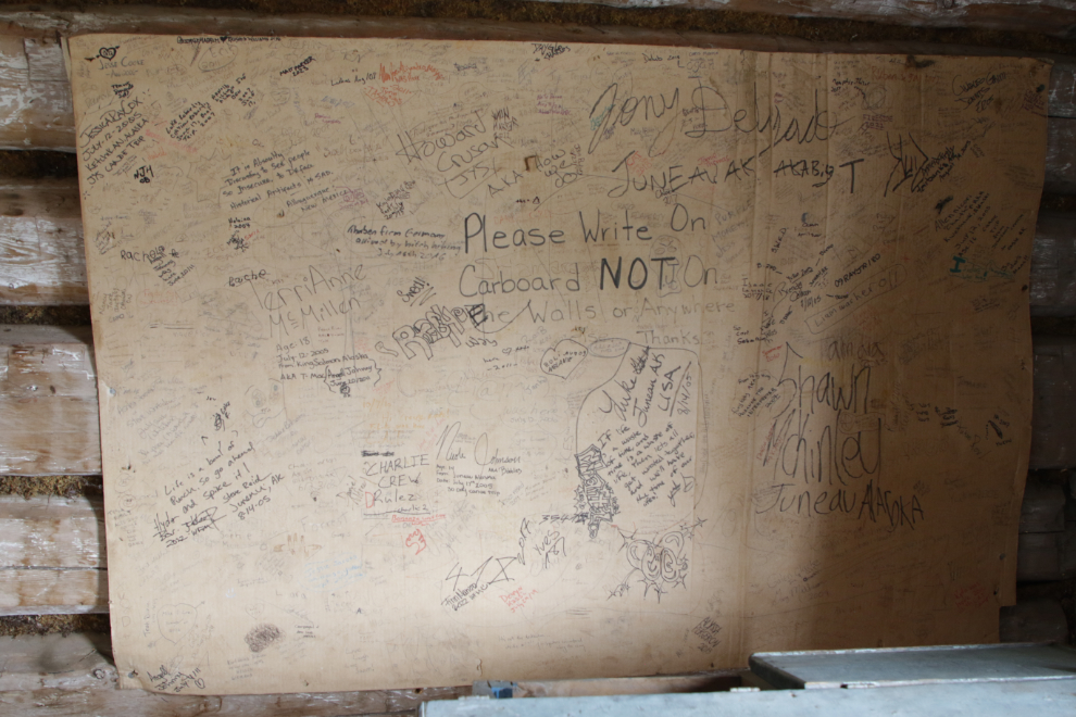
A cardboard panel requests that people who feel the need to record their visit do it there rather than on building walls.
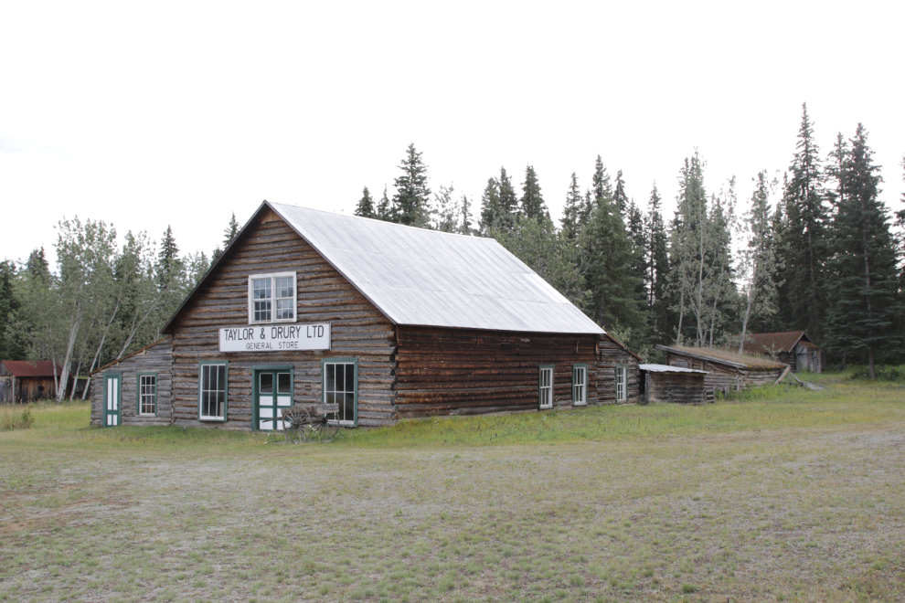
The Taylor & Drury store was probably built around 1900 as the Dominion Hotel.

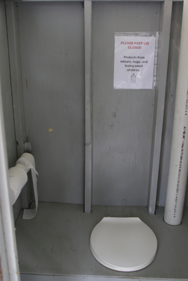
That was as far as we went into town. We used “the facilities,” where I saw this amusing sign – “Please keep lid closed. Protects from odours, bugs, and losing small children”…
…then on the way back to our canoe chatted a bit with some members of a 4-canoe group of eight men in their 40s and 50s, most from Vancouver and one from Ottawa. They were being picked up in Dawson onn the 22nd, the day after us, so we didn’t expect to see them again.
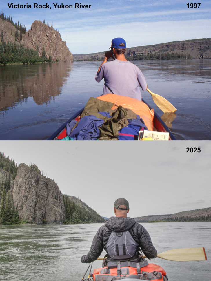
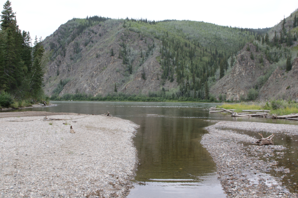
We were back on the river by about 4:00. I had forgotten about a specific photo I wanted to shoot at Victoria Rock, just downriver from Fort Selkirk, and wasn’t able to get into proper position to do an update of a photo I shot in 1997, but I got it pretty close 🙂
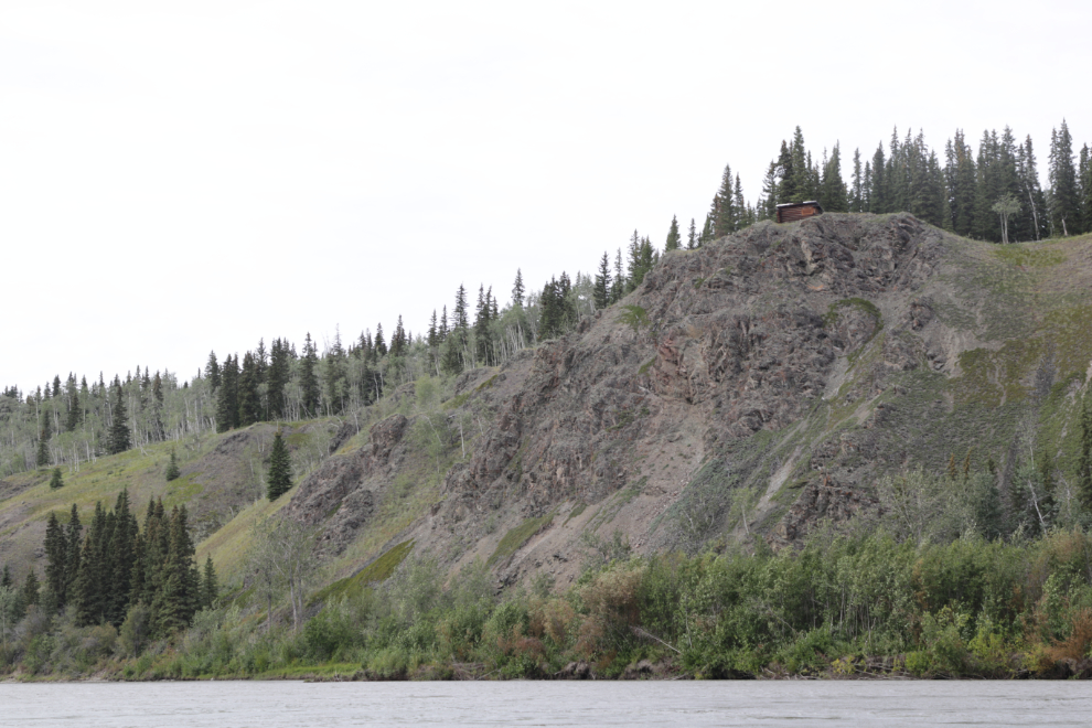
At 4:50 I spotted a little cabin perched on the edge of that rock bluff. Impressive!
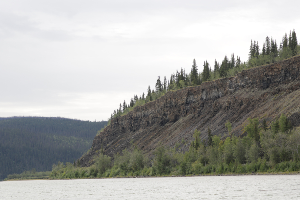
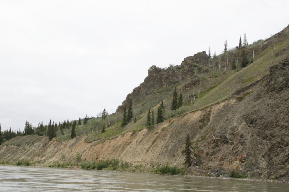
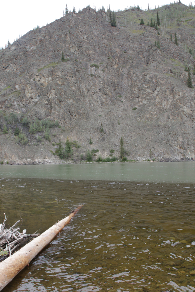
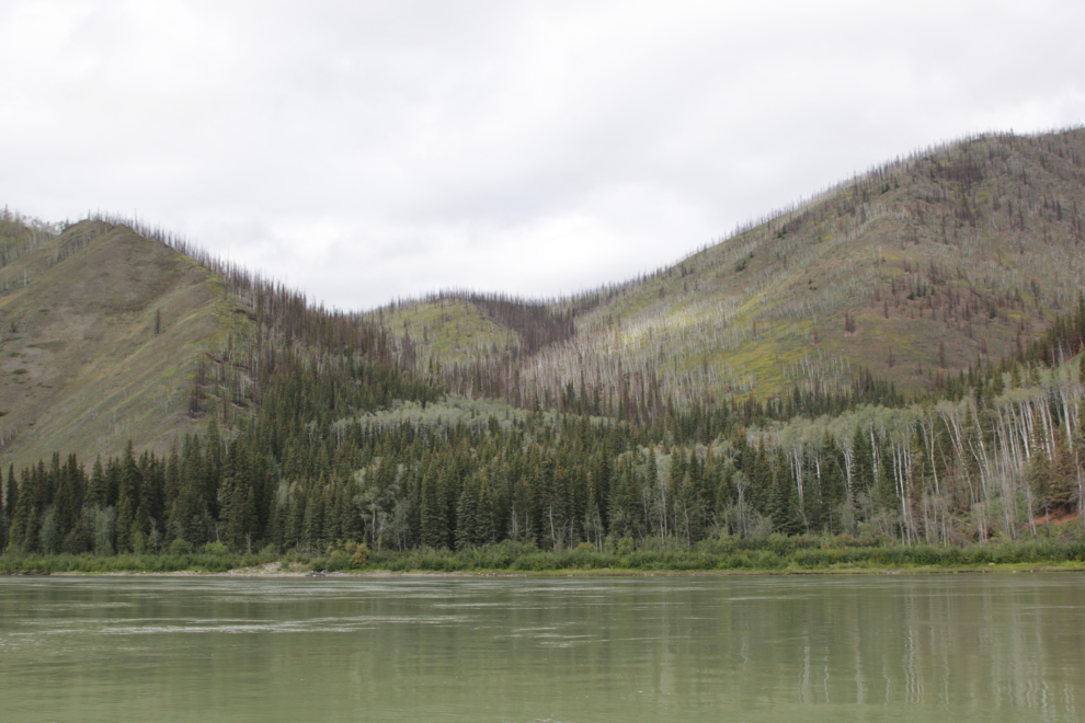
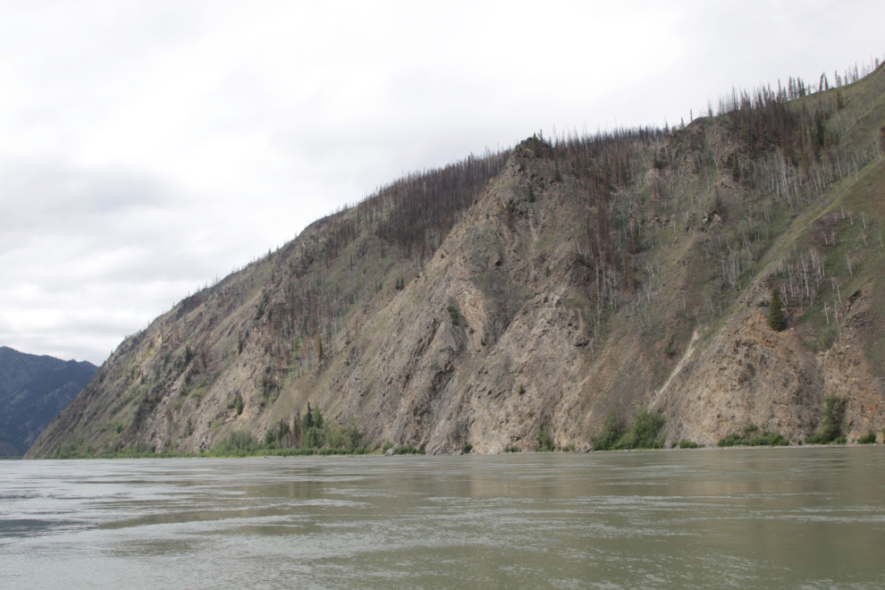
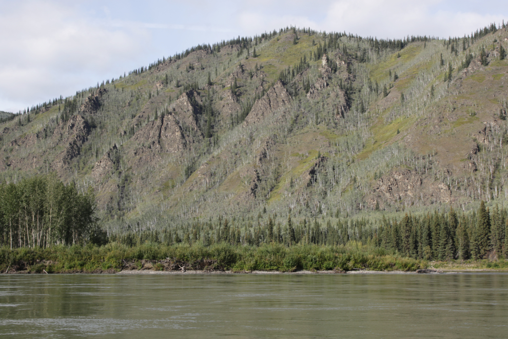
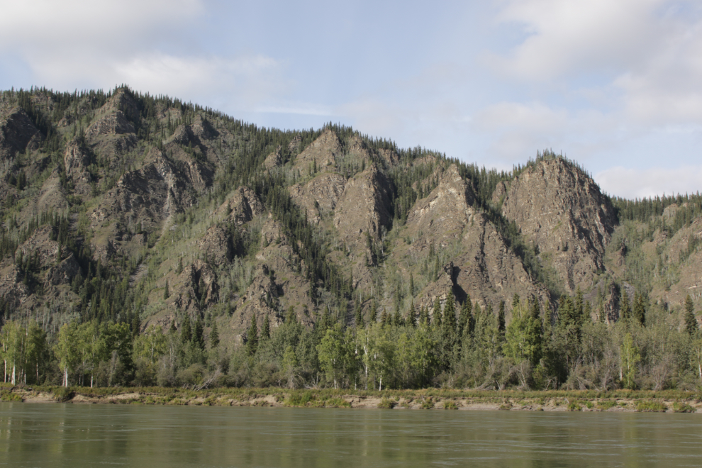
The impressive basalt walls kept on going. On these dark hills, the flat light was really frustrating – the colours are wonderful in the sunshine.
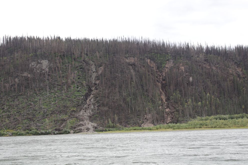
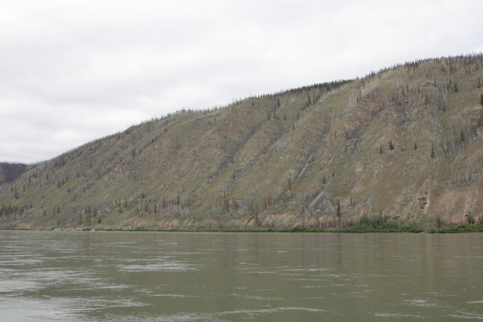
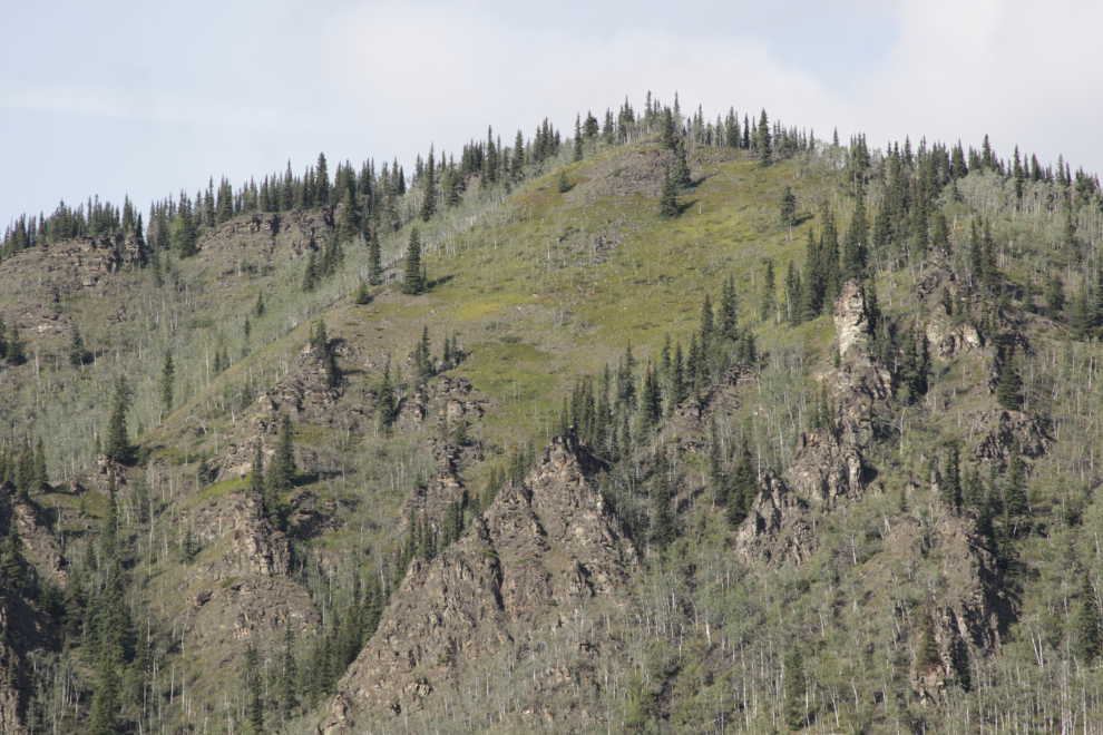
Slides probably triggered by the loss of ground cover from a wildfire in recent years.
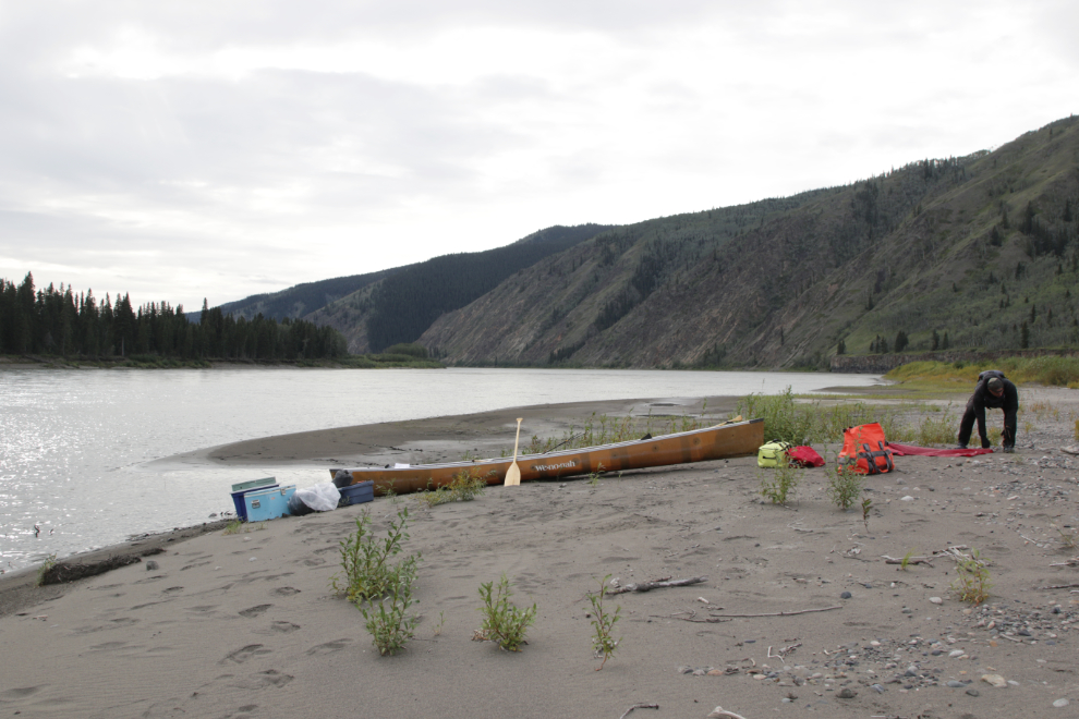
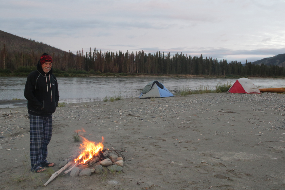
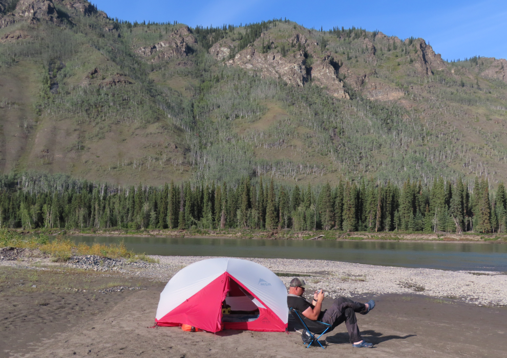
This had been a difficult day. We had fought a strong, cold north wind all day – it was exhausting. Just before 6:00 we picked an island below Black Creek to camp on, having now covered 60 miles that day. We were now 277 miles from Whitehorse, 162 miles from Dawson.
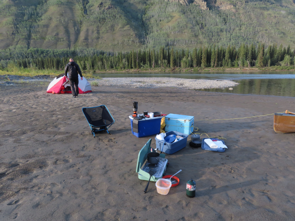
The north wind was howling, and made setting up the tents a challenge. We moved the canoe to make a bit of a windbreak, and I weighed my tent down with heavy rocks at the upwind corners inside.
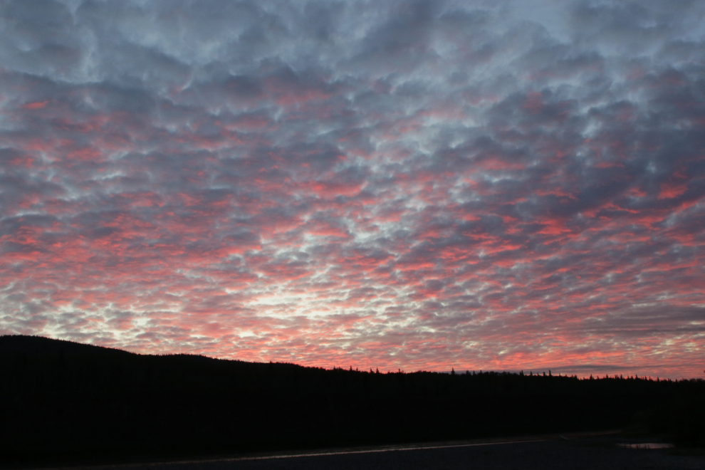
At 06:00 the next morning – Monday, August 18th – the sky was lovely, and there was a slight north breeze.
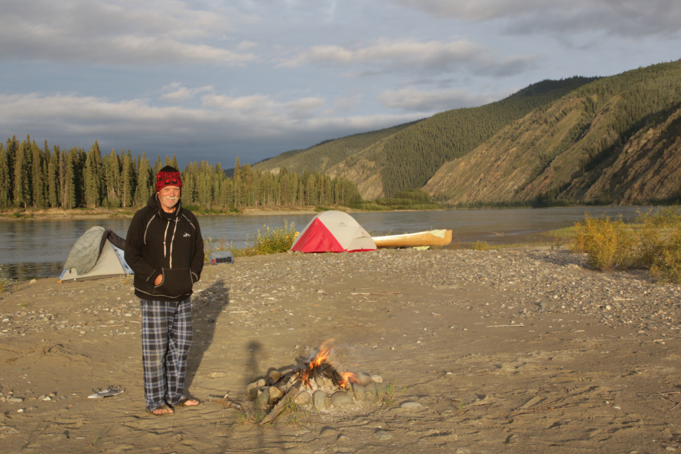
At 06:35 I had a nice fire going to ward off the morning’s chill a bit.
By 07:15 the light was flat and the north wind was increasing – I wrote in my journal “If it was an option I might quit here. Hardly eating, tired, the thought of another day of headwind, possibly with rain by the looks of it, just makes me sad.” By the end of the day, though, my thoughts were very different.
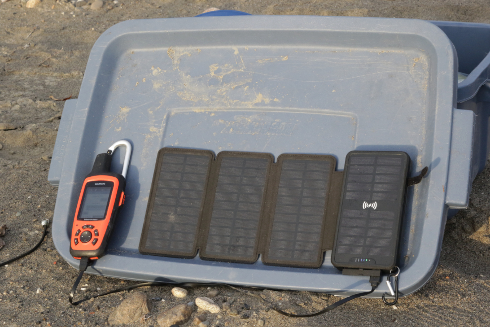
Steve’s new solar charger turned out to be not up to the task, so we were prioritizing electronics. I really wanted to keep Cathy connected to at least my inReach position reports if not texting, which uses far more power.
The sun popped out for a bit just after 07:30 and it was glorious! 🙂 But it didn’t stay long and the sky ahead was ugly. This was so dramatically different than the forecasts had been when we left Whitehorse.
August 17/18: Camp #7 – Lat: 62.830145, Long: -137.678561. Elevation: 1,378 ft.
We were back on the river by about 09:45, which had become our normal start. There were some dramatic rocks along the shore, which always improved our moods. The first photo was shot at 10:40.
11:35.
12:15 – I had expected that we’d be paddling through pretty much featureless terrain, and this was a wonderful surprise.
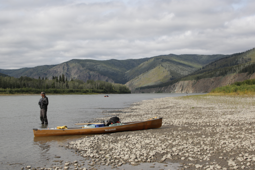
Just before 1:00 we stopped for a break at what turned out to be the Selwyn River. As well as being quite clear, the water was shockingly cold compared to the Yukon River (which was also cold).
We both enjoyed seeing the dramatic difference in the water clarity and colour.
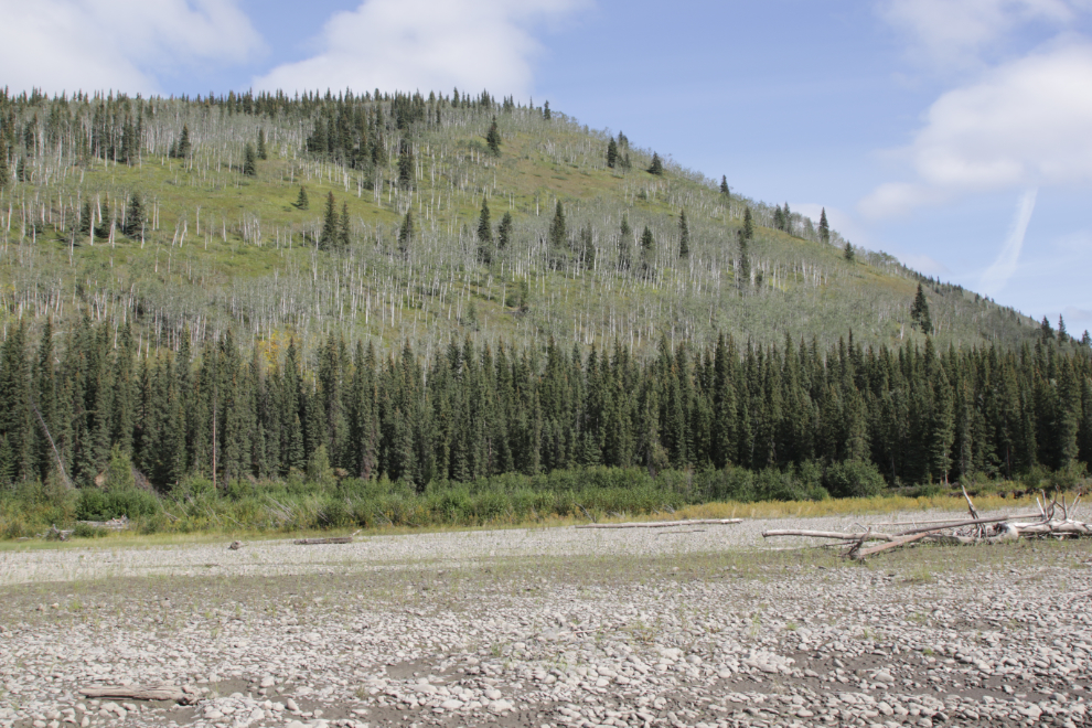
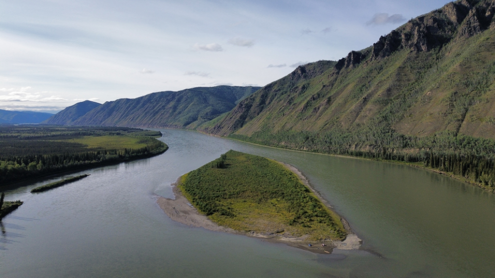
The Yukon River wanders a lot, and from the Selwyn River we paddled southwest for a while. The next photo was shot at 2:25, just to show the sort of terrain we were now in.
I thought that this complex spot across from Isaac Creek would have a name, but I can’t find one.
2:40.
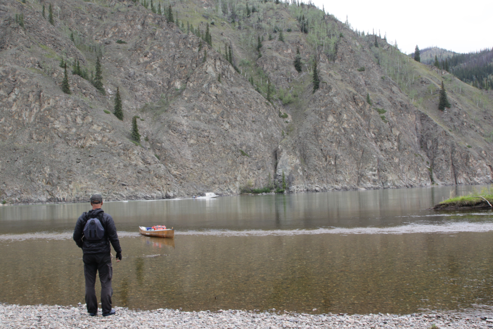
We were in no hurry, and the group of 8 guys we met at Fort Selkirk caught up with us. Neither Steve or I wanted to see other people out there, and we sure as hell didn’t want to hear them, and one of them talked constantly. We finally stopped for a break to let them pass. We noted that one of their canoes was now a mile or so behind the others, perhaps to also get away from the noise – that final boat is seen in the distance in the next photo, shot at 3:15.
We seem to have still been on that beach at 3:45 when the next photo was shot.
Back in the silent wilderness at 3:55 🙂
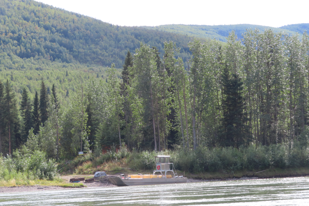
There were now interesting man-made things going on at fairly frequent intervals. Enough to affect the wilderness feeling without spoiling it. This very nice boat had quite a load of something in crates. This may be Britannia Creek.
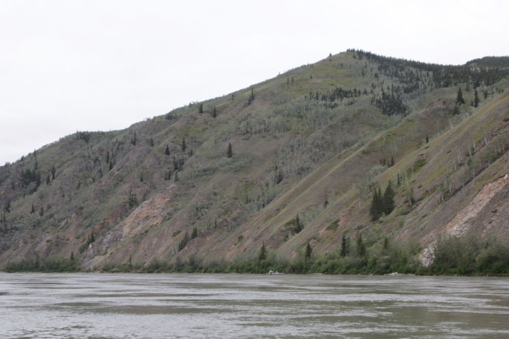
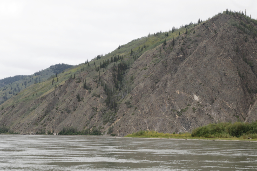
A particularly impressive slope at 5:03.
A few minutes later we were passing an even more impressive one.
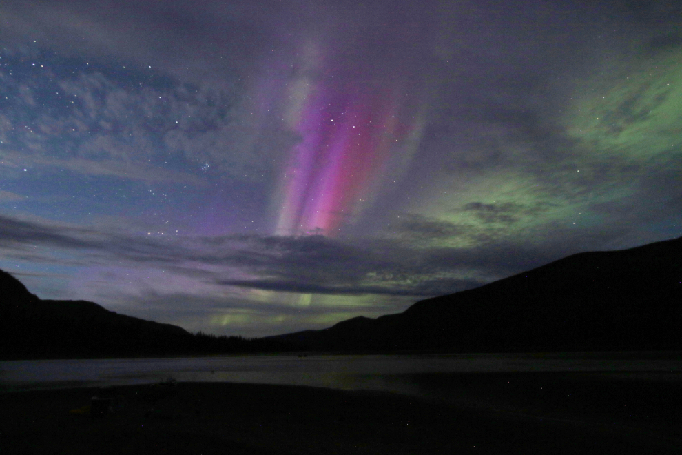
The battery on my big camera – the Canon EOS 7D Mark II – was now close to dead, and I was going to save the last few photos for shots only it can take, such as the aurora borealis if it ever appeared for us. I misunderstood the charging abilities of the solar gear or I would have brought a spare battery, which I have for both cameras.
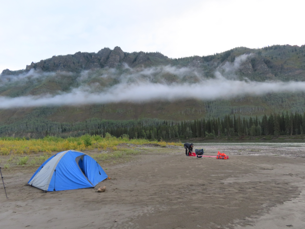
We camped on an island just below Ballarat Creek, having paddled 53 miles this day. Steve soon had his drone out to photograph this camp.
After a tough start, my journal now comments “Perhaps the best day yet. Awesome campsite except no firewood. Had Cathy’s beef stew for dinner tonight – yum. Butter still hard in the cooler so we’re still confident that things are safe. Cloudy all day with fairly light N wind, got some sun this afternoon.”
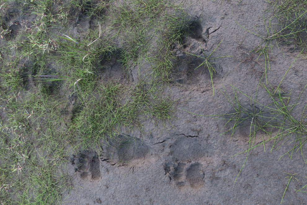
There were lots of fairly fresh (a couple of days) caribou tracks around our camp, and up the beach a bit were small bear tracks (black bear) from about the same time.
My body’s “aurora alarm” was still working, and at 03:15 I awoke to a nice display. A large, brilliant spike appeared but by the time I got my camera gear together it was gone. I thought about waking Steve up, but by the time he would have gotten out of his tent, the show would have been about over.
Breaking camp the next morning – Tuesday, August 19th, Day 9 of the trip.
August 18/19: Camp #8 – Lat: 62.899078, Long: -139.002521. Elevation: 1,261 ft.
Day 9 – almost the end. I didn’t know how to feel about that – while I was tired, it had been an incredible experience that I didn’t want to end.
The final post will take us to Dawson City where Cathy met us, and then the drive home.
What an adventure. Glad to see Steve wearing his life jacket unlike the earlier trip lol. Age brings wisdom!
LOL – some might say that age doesn’t always bring wisdom. Once the temperature went above about 15C, I wore nothing at all, on shore or in the canoe. As Nature intended 🙂
I am glad to read this reply from you, Murray, as I know you prefer the natural state while in the warmth of the sun.
Amazzing!