Boat Tour to Princess Louisa Inlet and Chatterbox Falls
Princess Louisa Inlet had been calling to me since 1965 when I got invited to the Malibu Club Lodge there. The cliffs at the head of it are so dramatic that it can be easily identified when passing over even at 35,000 feet. On Day 42 of the trip, June 6th, I was finally going to get a close look at it. There are over 50 photos and a video in this post – that may give you some idea of how special this place is. I’ve posted a brochure about Princess Louisa Inlet from my collection. Published by BC Parks in 1988, it gives an excellent history of how the inlet came to be a park – see Princess Louisa Inlet, 1988.
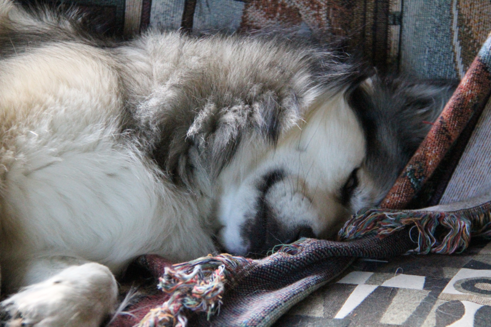
RV mornings are special times, with Bella and Tucker and Molly all sleeping close to me as I tap away on the laptop. This morning, even the normal 07:00 breakfast time had long passed before they stirred.
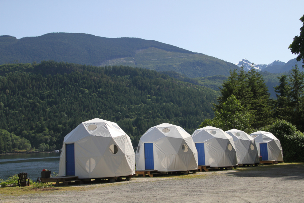
The Backeddy Resort has recently added a few of these cool Geodesic Domes for rent. They’re really cute inside, and have stunning views.
I had booked with Sunshine Coast Tours – $149 with taxes for 5 hours, about 3½ of that on the water, the rest at Chatterbox Falls. I met our boat captain, Cliff, at the ramp down to the dock. He said that there were only 3 people on today’s today. Ouch – it must be a break-even day for him. The other passengers, women from Victoria and Ontario, soon arrived, and at 10:30, we cruised away from Egmont, headed for some of North America’s finest wilderness.
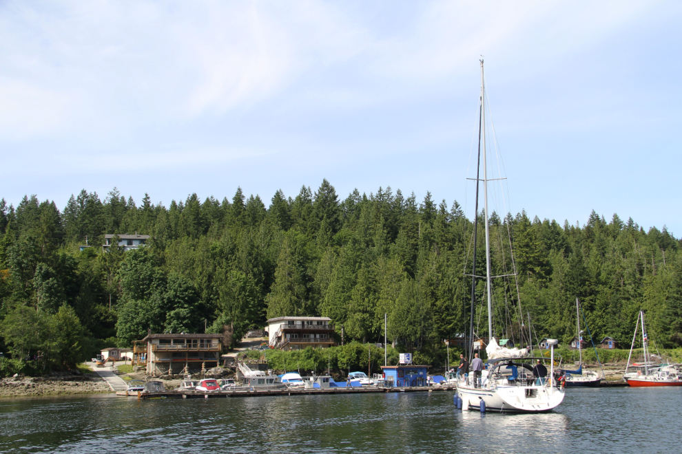
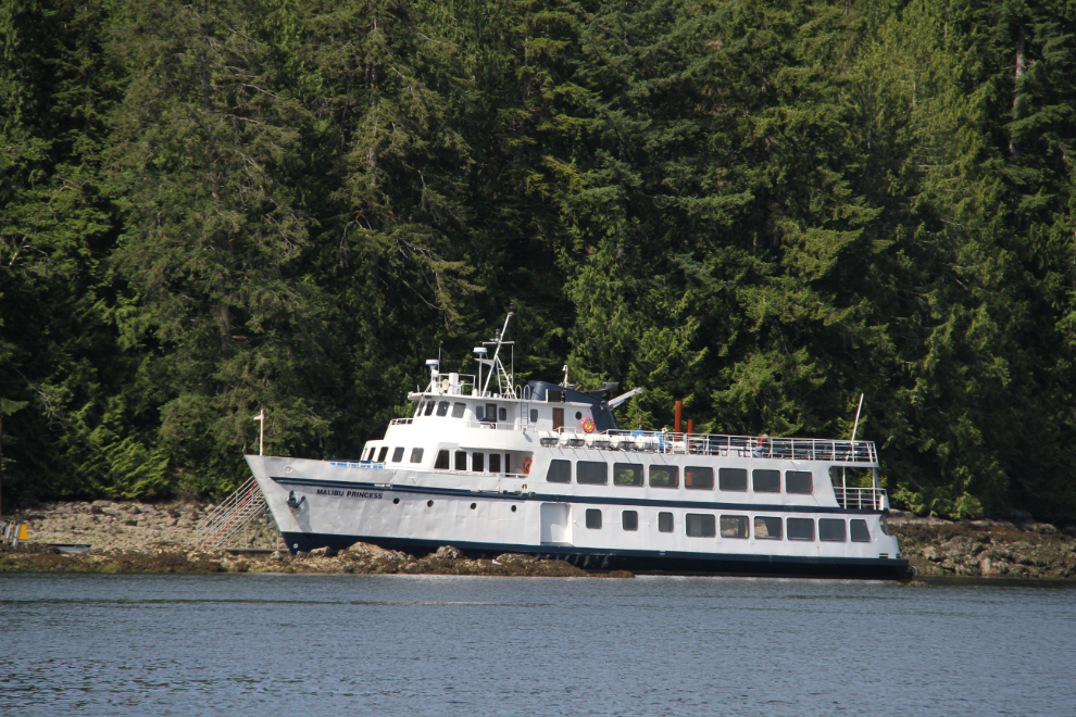
When I saw this boat in the harbour, I thought that it was one of Un-cruise’s small cruise ships, but when I blew the photo up, I saw that it’s the Malibu Princess, used to transport people to the Malibu Club that you’ll see shortly.
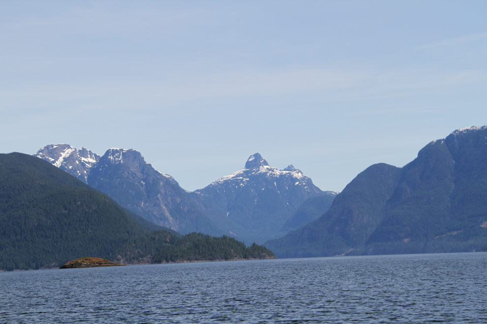
Within a few minutes ater leaving Egmont, we were in Jervis Inlet (see a map). About 77 km (48 mi) long, it’s known as the deepest fjord on the BC coast, with a maximum depth of 732 meters (2,402 ft).
Just 3 minutes after shooting the photo above, we made a stop at a little island that was home to a large number of harbour seals. Cliff was narrating an excellent tour and I’m sure that he told us the name of the island, but I don’t remember.
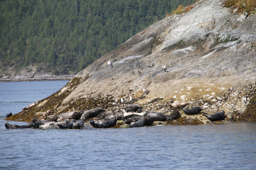
The seals weren’t the least bit concerned about our presence.
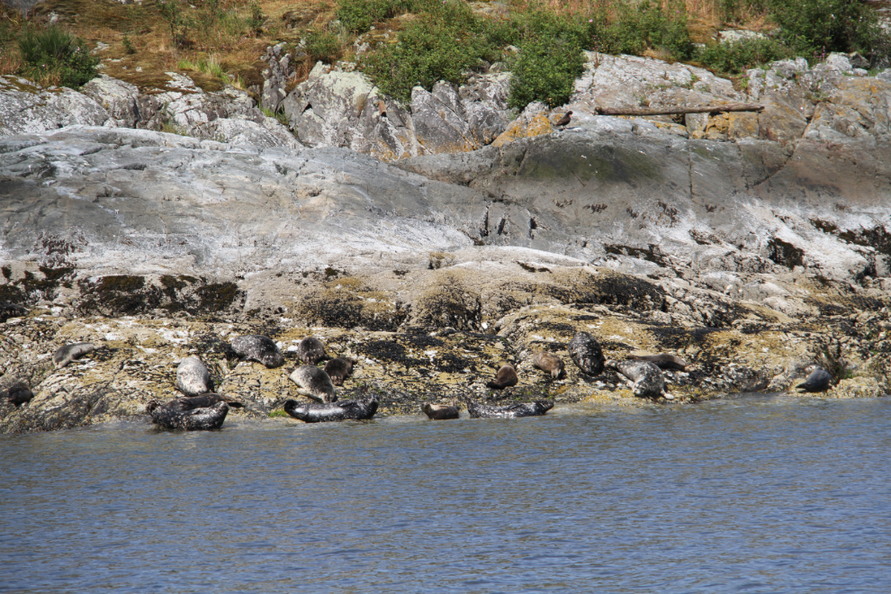
This was not an express run to Princess Louisa Inlet. Cliff tucked into shore to show us some particularly incredible locations often.
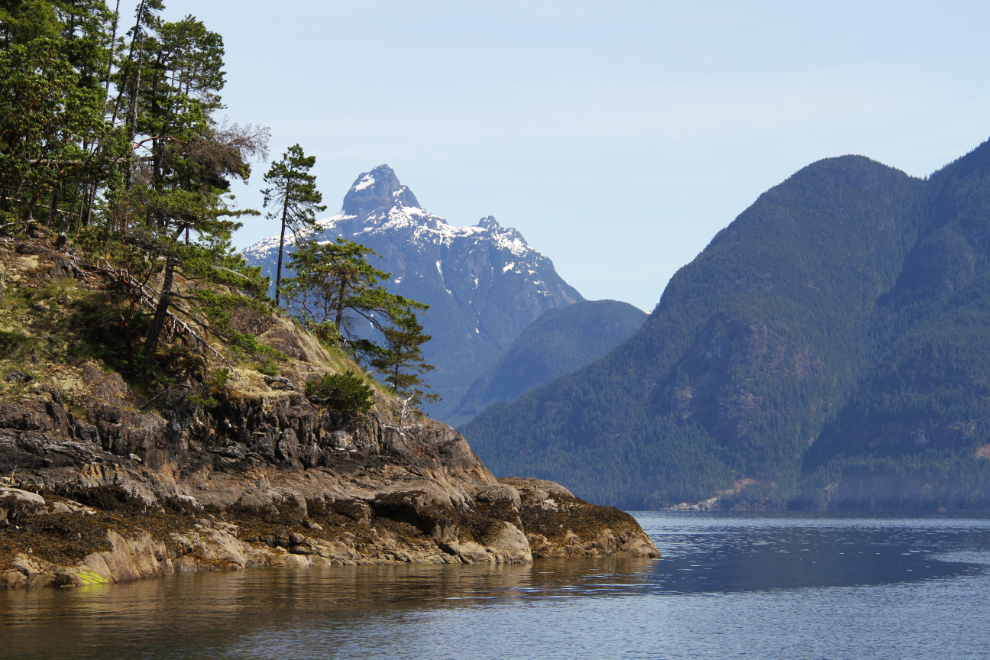
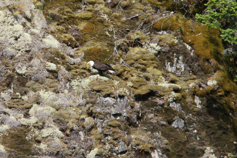
At 10:55, we stopped to watch a black bear on the shore. He was fairly well hidden by logs so I’m not going to post any photos of him. Less than 10 minutes later, though, this bald eagle eating a fish stopped us again.
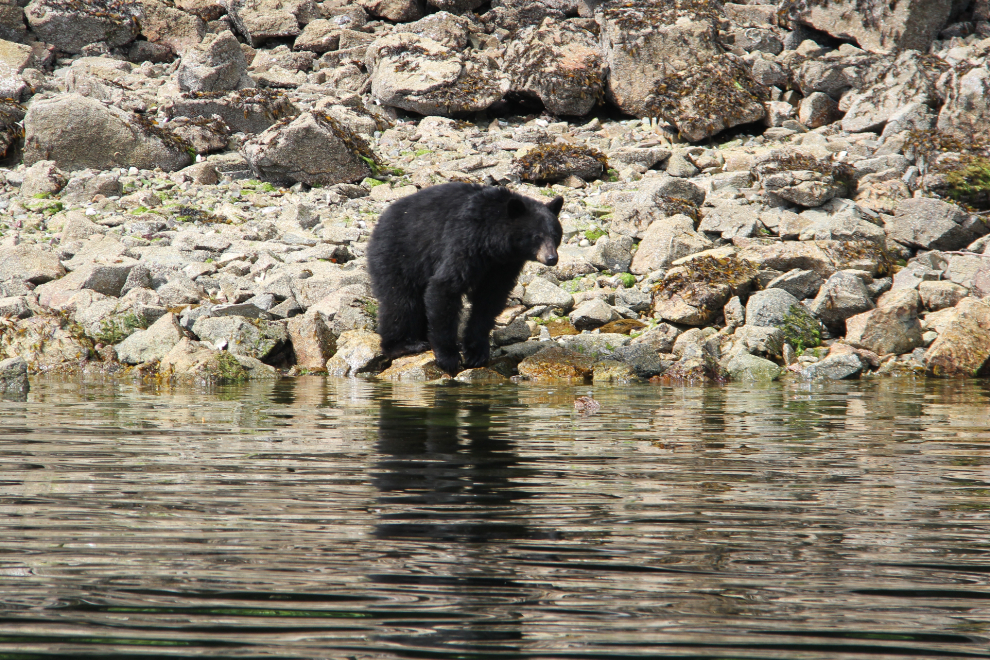
Two minutes after leaving the bald eagle, another black bear! This bear was much more photographer-friendly! 🙂
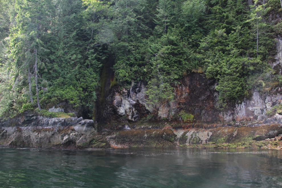
It would take years running Jervis Inlet to find some of the places that Cliff showed us. In that little cleft in the granite was a wall of misty waterfall.
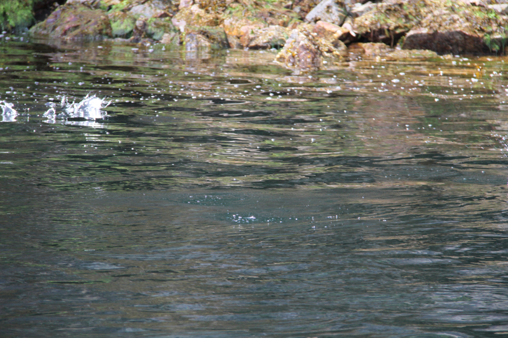
In this tiny bay, a lot of what Cliff called “bait fish” were jumping. I took a bunch of photos hoping to catch one mid-air so I could see what they look like, but had no luck.
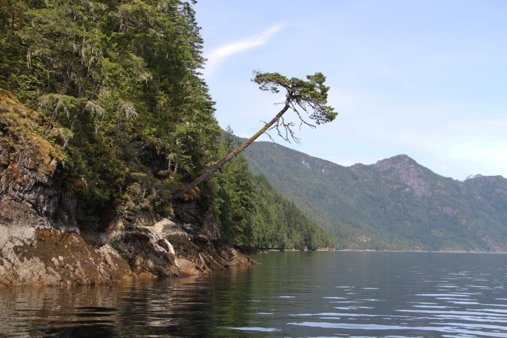
There’s a tree that would eventually grow itself to death – grow so large that it will topple into the sea.
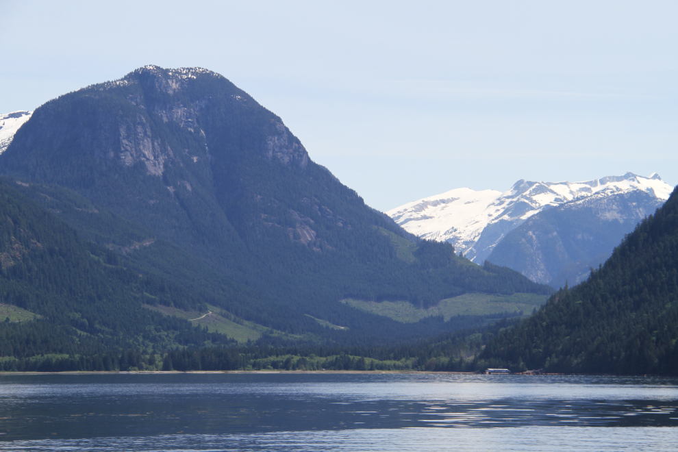
Just up that valley about 25 miles is the ski resort town of Whistler! I had to try to form a map in my head to grasp that 2 places so dissimilar could be so close.
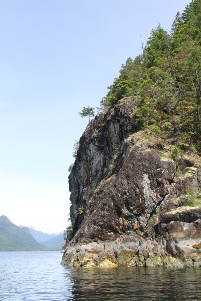
The further north we went in Jervis Inlet, the more common dramatic cliffs like this became.
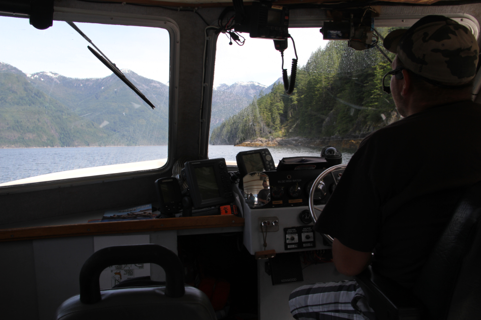
The captain’s view. Although the boat has inside seating for a dozen people, all 3 of us stayed outside the entire time. Speakers on the back deck allowed us to hear Cliff clearly. Even those of us with hearing problems – ahem…
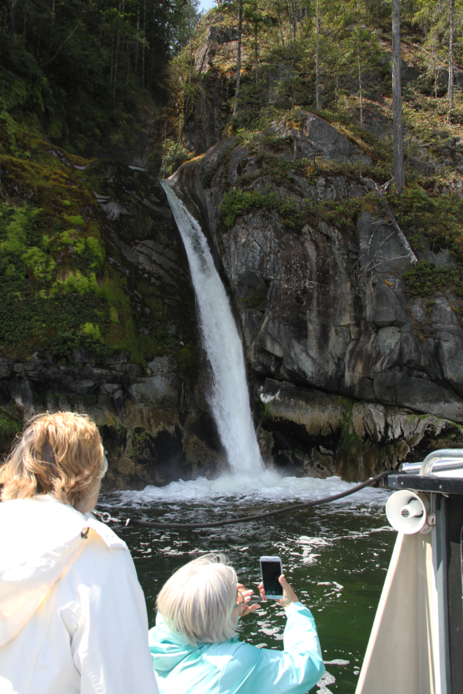
At 11:40, Cliff pulled in and stopped in front of a particularly beautiful waterfall.
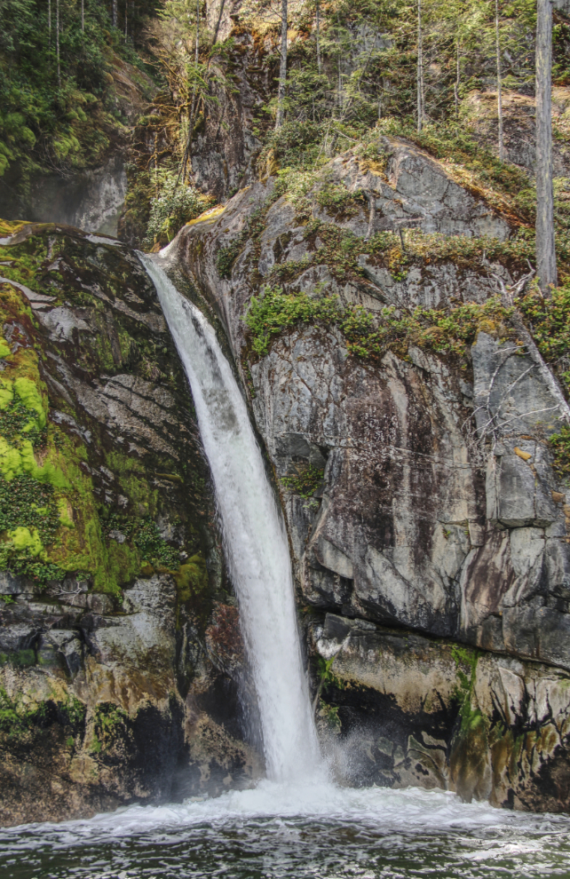
The waterfall looked like a good subject to create an HDR image of.
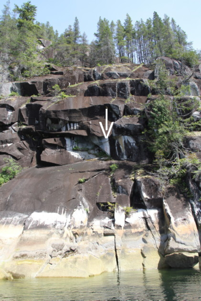
I had no idea that there are significant pictographs along Jervis Inlet. It shouldn’t have surprised me, though. Pictographs were done at spiritually powerful places, and Jervis Inlet has those in abundance, I expect.
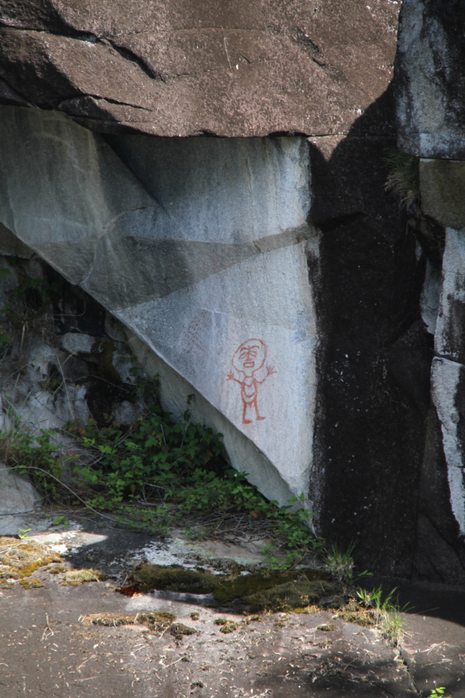
The arrow points to the location of the pictograph in the photo above.
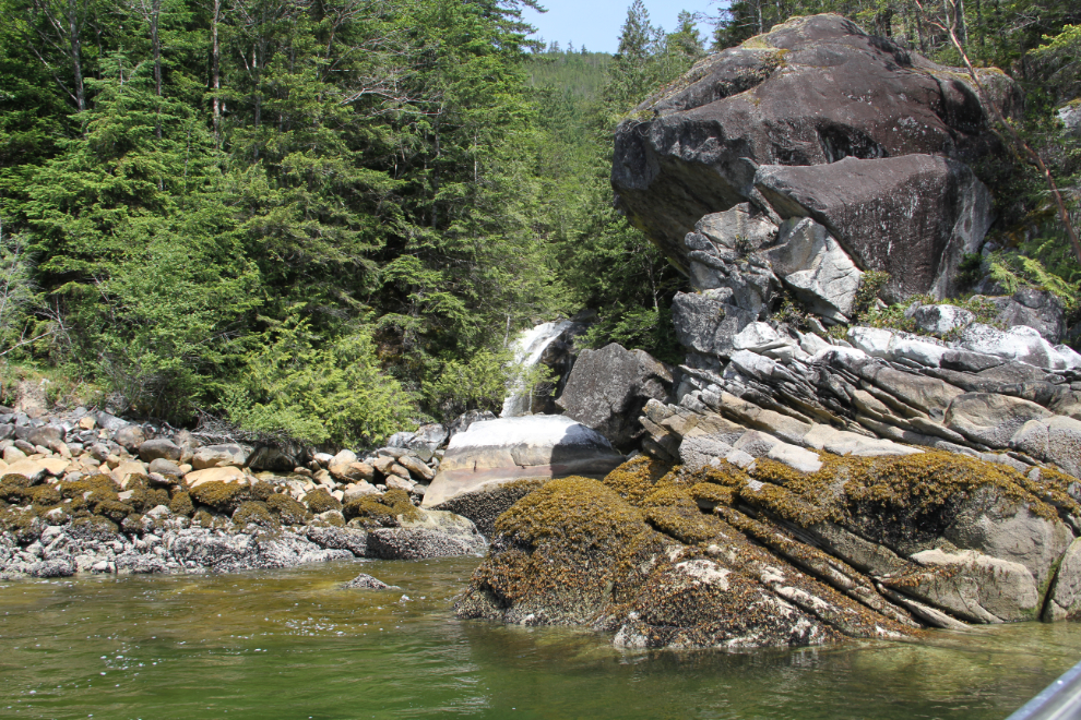
An old logging landing with an almost-hidden waterfall.
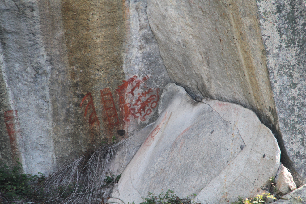
Another pictograph.
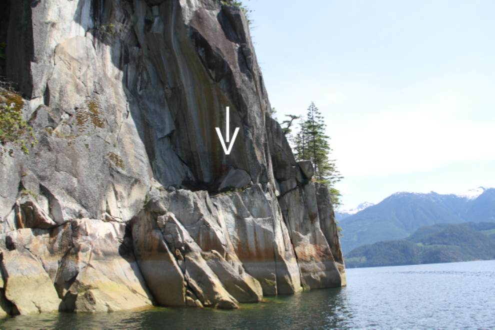
Again, the arrow points to the location of the pictograph in the photo above.
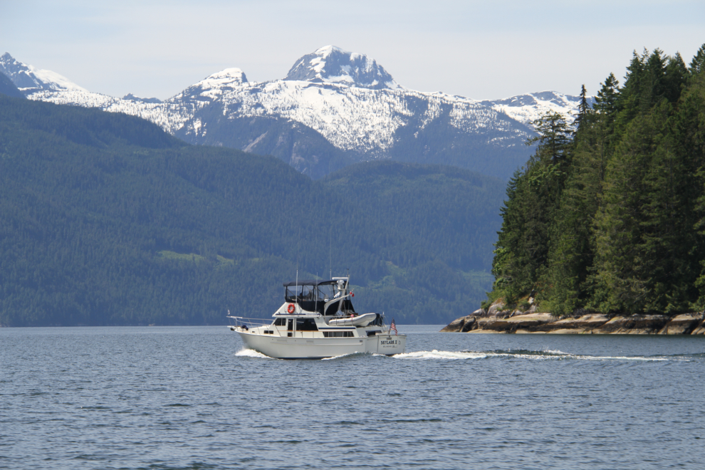
Princess Louisa Inlet is a bucket-list destination for many people, and large boats are seen often. Skylark II is from Bellingham, Washington.
Malibu Club is a luxury lodge, but with a different focus than most. I mentioned in the introduction to this post that I was invited to spend a week or so there in 1965. I didn’t go, though. While doing the final paperwork, I realized that it was (and is) a Christian camp, and cancelled. I see that there’s a small part of the lodge now open to the general public (30 rooms).
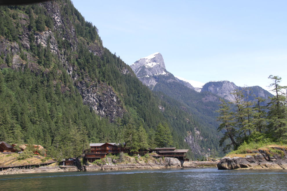
At this small anchorage in Princess Louisa Inlet is an excellent hiking trail.
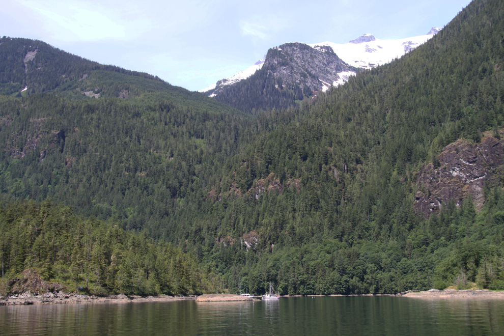
The head of Princess Louisa Inlet, with Chatterbox Falls at the lower right.
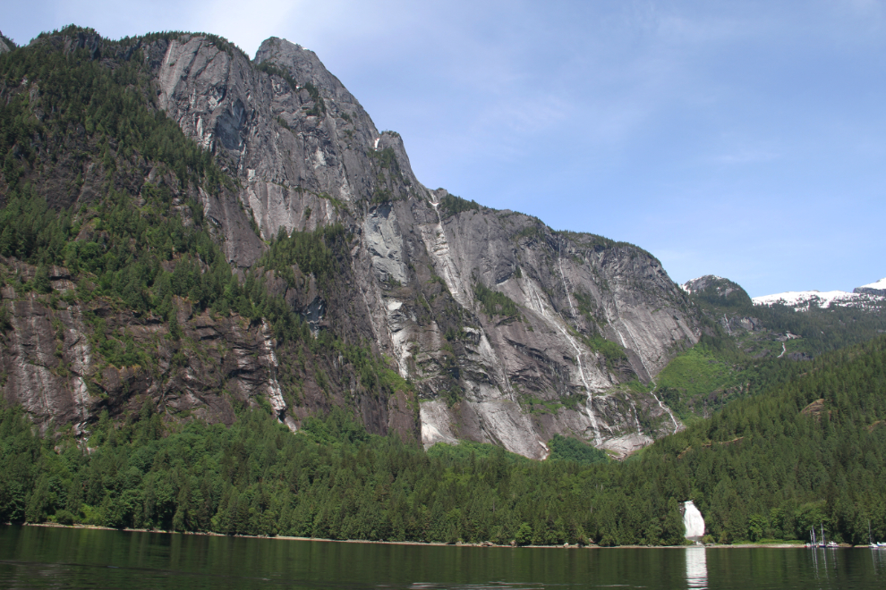
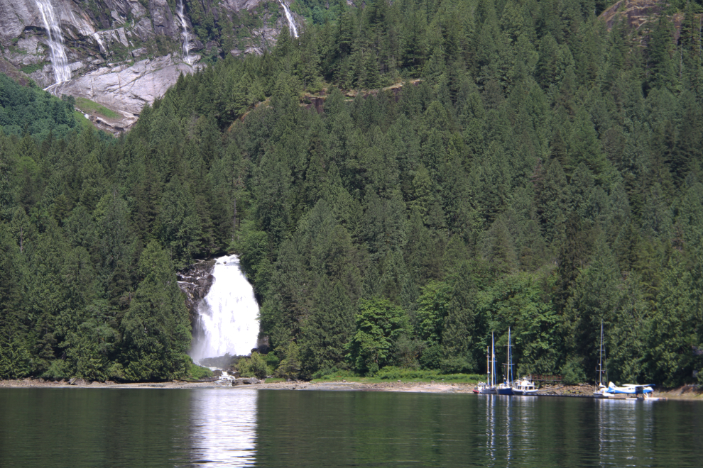
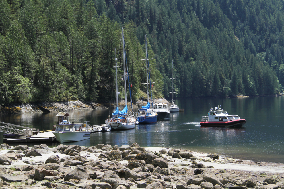
Several boats and a float plane were at the Chatterbox Falls dock.
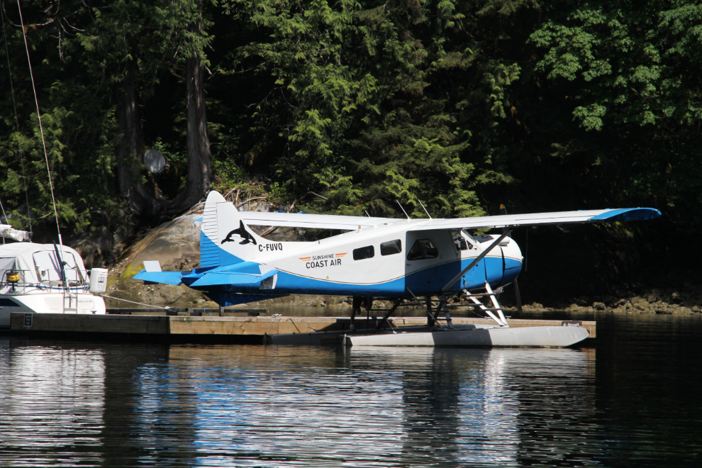
The float plane was Sunshine Coast Air’s beautiful 1954 de Havilland Beaver, C-FUVQ.
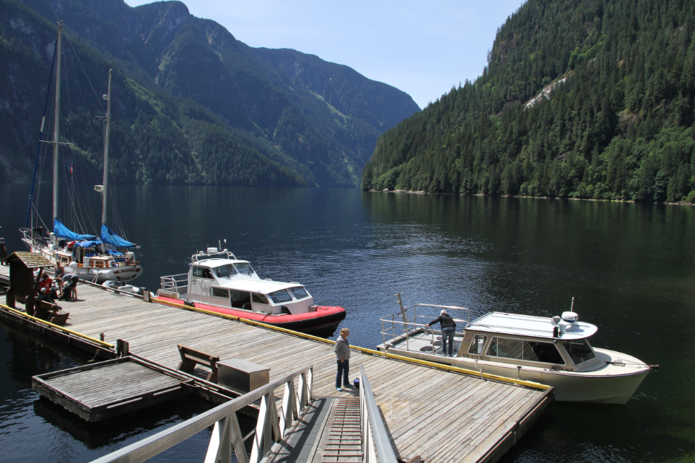
A look back at the dock as I headed into the forest to explore at 12:35.
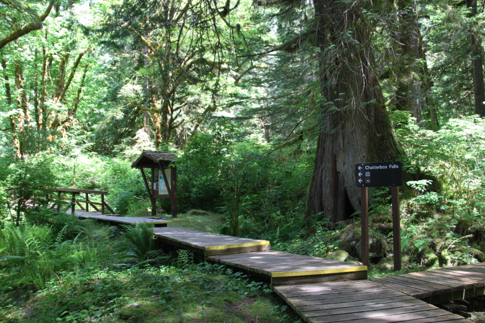
The trail to Chatterbox Falls begins as a boardwalk.
The MacDonald Memorial Lodge, just off the main trail on a trail that leads to the beach.
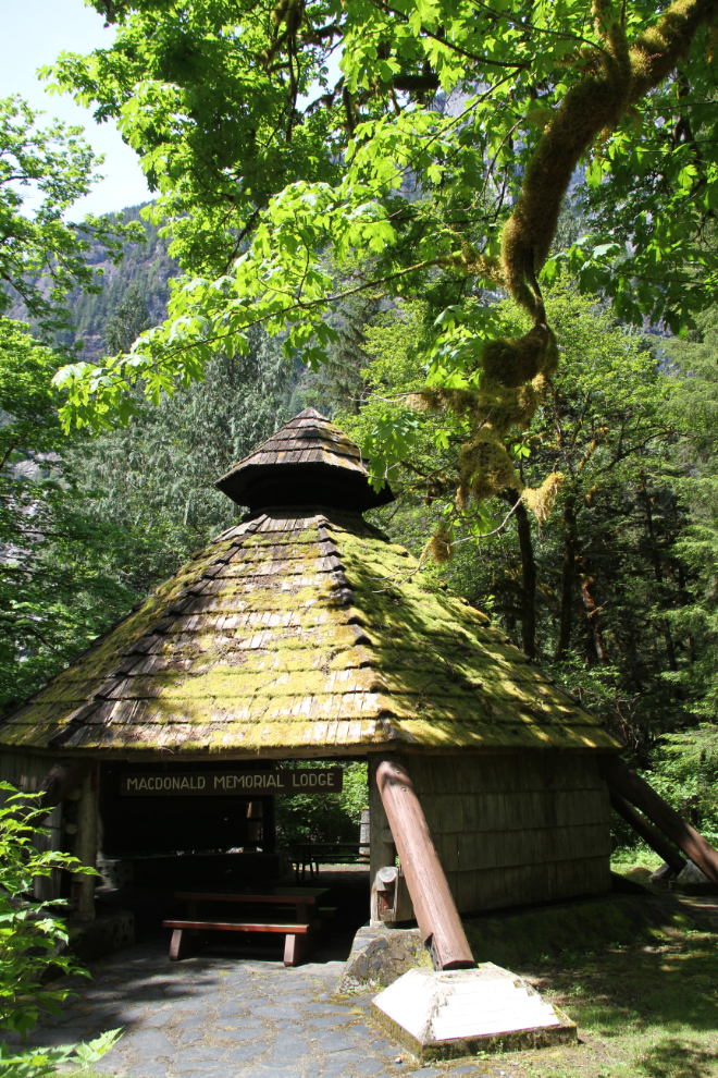
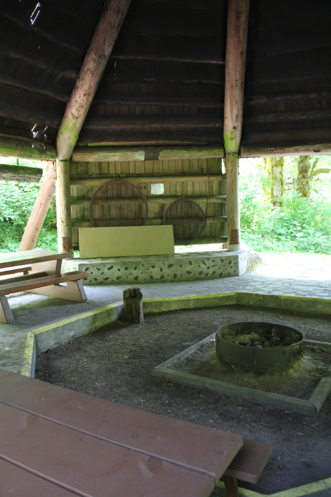
The “lodge” would be wonderful on a wet day – build a fire and just enjoy the vibe of this magnificent setting.
The beach seemed like a good location to have a first look at the waterfall. It was also a good place to eat the lunch I’d brought.
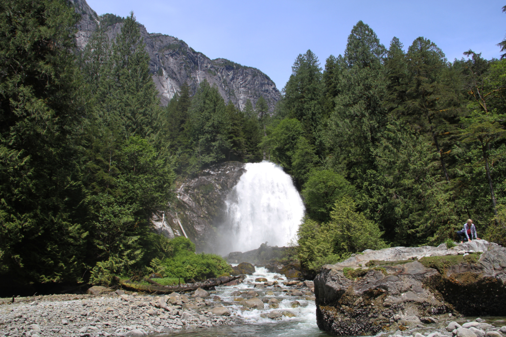
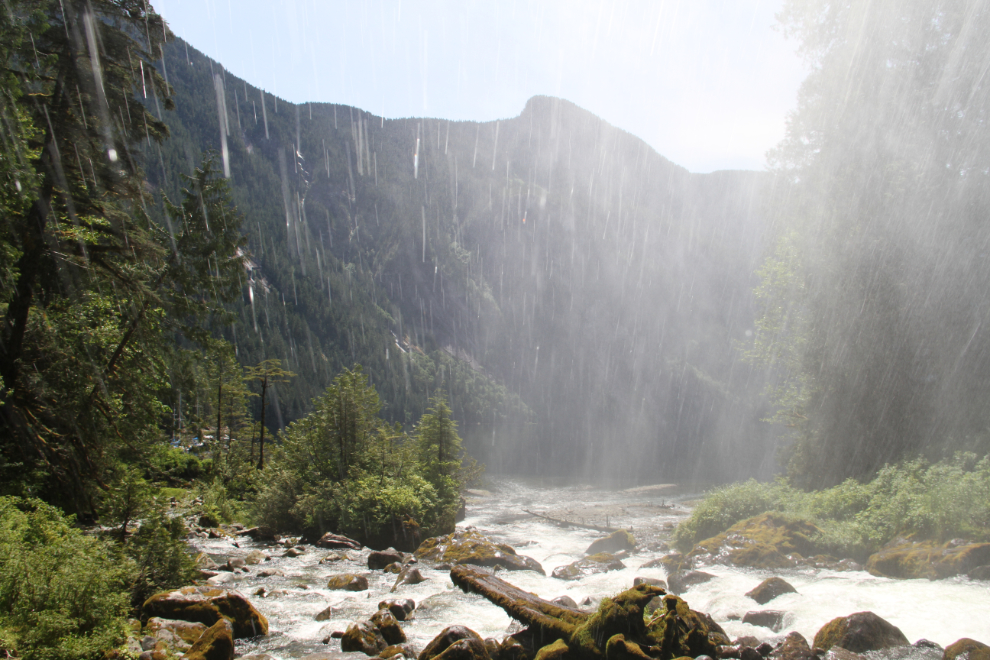
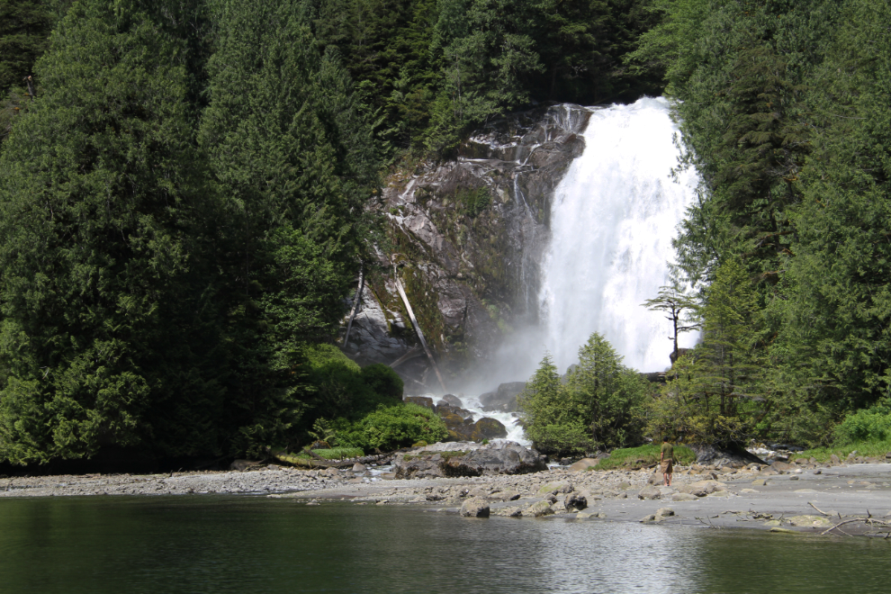
Then, up for a much closer look. The power of the falls at full flood as it was now, was quite incredible. Hardly a “chatterbox” now!
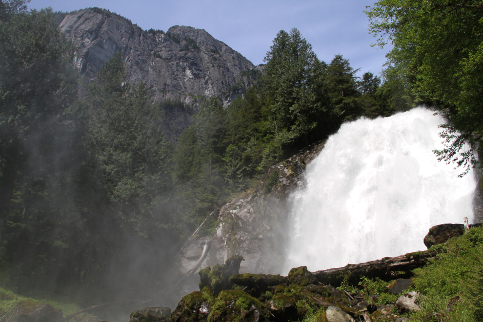
I shot this while standing in the heavy spray coming of the falls.
Waterfalls often need a video, and Chatterbox Falls certainly does. Here’s 2½ minutes to see and hear the power.
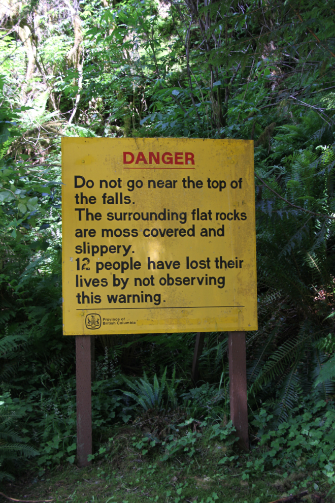
12 people have died trying to climb to the top of the falls. Okay.. 🙁
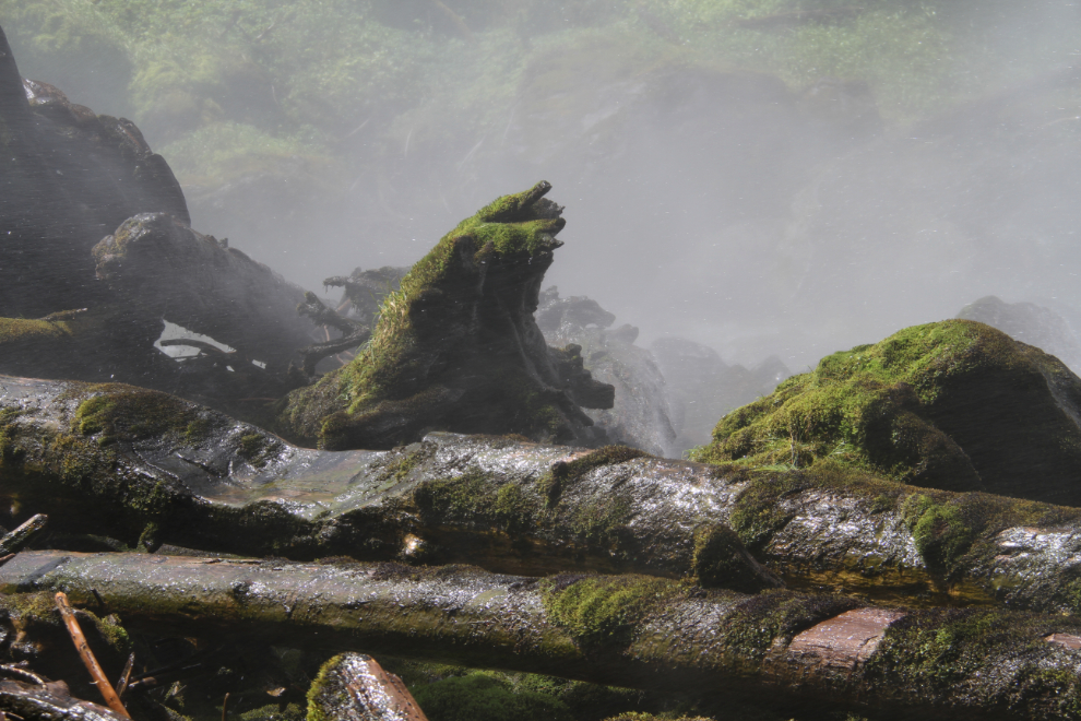
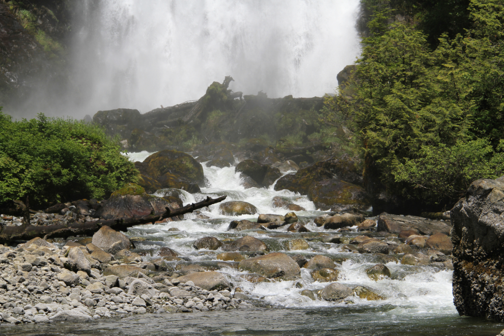
The area around the base of the falls fascinated me.
I expect that this place gets extremely busy in mid-summer. In July, Cliff’s boat brings in 15-20 people, not 3.
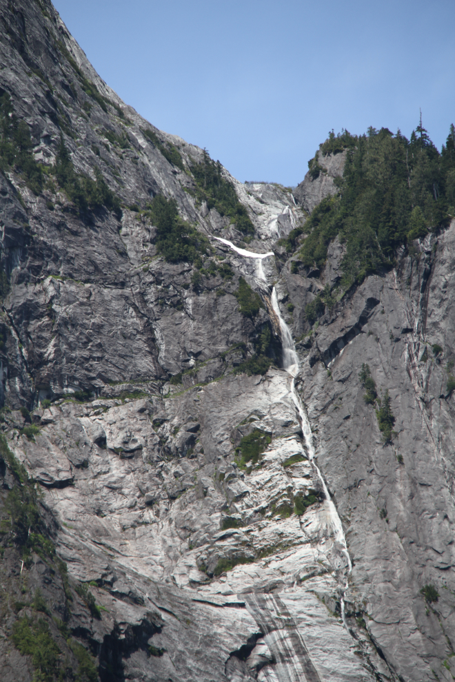
Several sources say that James Bruce Falls is the highest measured waterfall in North America and the 9th tallest in the world, at 840 meters (2,760 feet). To me, a waterfall is a single drop – that’s just a cascade. Impressive, whatever you call it, though.
I went back down to the beach and waded in the sea for a bit. The water was probably too cold for swimming, but was refreshing to wade in.
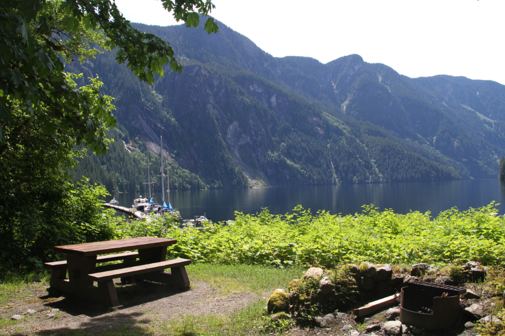
How do you even describe this picnic area? Does just “OMG!” work? 🙂
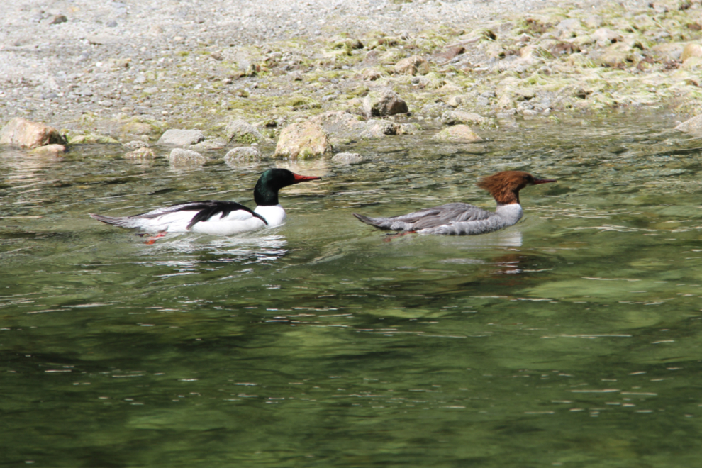
A couple of Common mergansers (Mergus merganser) cruised around us for a few minutes. The male is on the left, and the female on the right.
One final shot of Chatterbox Falls.
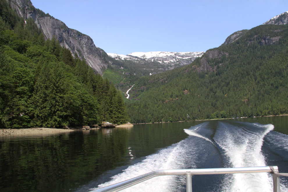
Leaving Chatterbox Falls at 1:40.
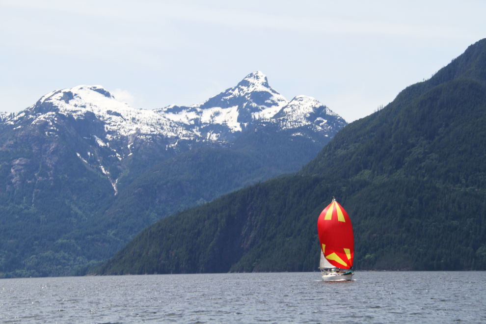
This is one of the most spectacular sailing shots I’ve ever gotten. There were a fair number of boats, both sail and power, headed up Jervis Inlet as we were southbound.
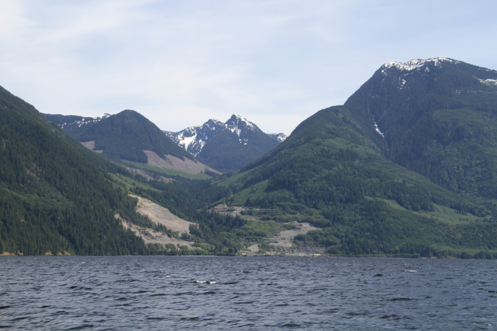
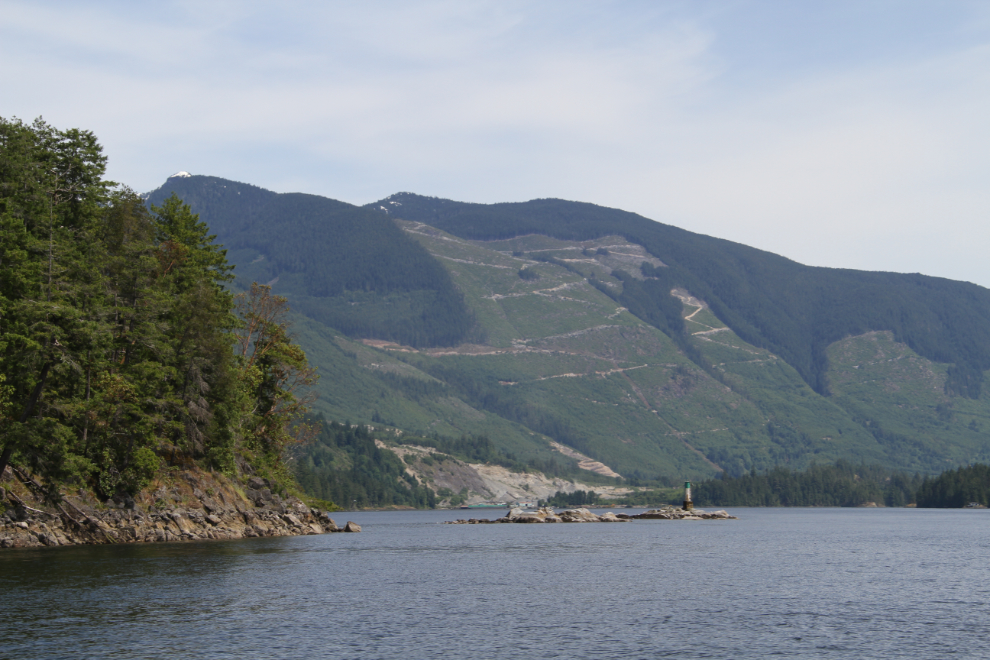
There was a whole lot of blasting needed to get that logging landing built!
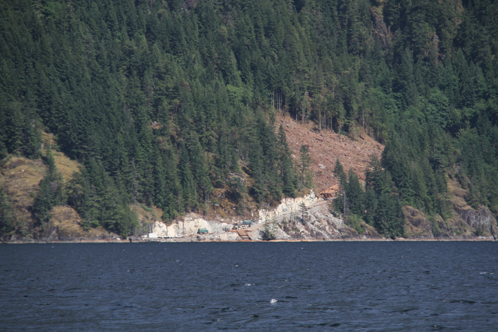
I was surprised by the number of places in this area where a double resource extraction is going on in a major way. A huge gravel pit on the lower levels, and logging behind. I suppose triple resource extraction when you add the fishing that’s going on but not as noticeable.
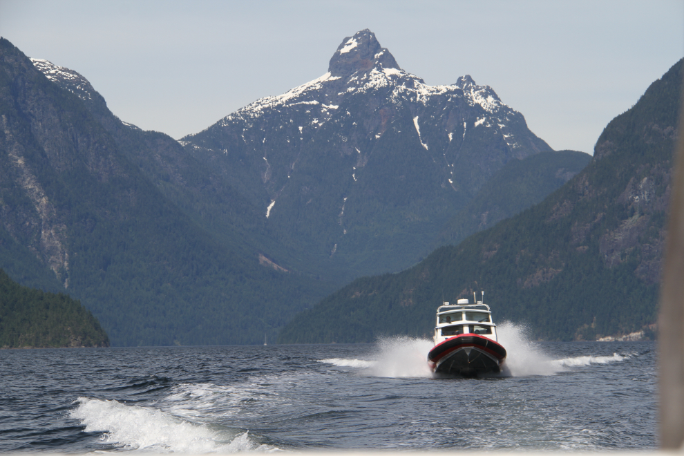
A water taxi took advantage of the smoother ride behind us for a few minutes. While Cliff’s boat is fast, the water taxi was faster, and he soon roared around us 🙂
Back at Egmont harbour, at 3:00. It was half an hour earlier than advertised, but I can’t imagine that anyone minded. It had been an incredible day, and I was exhausted.
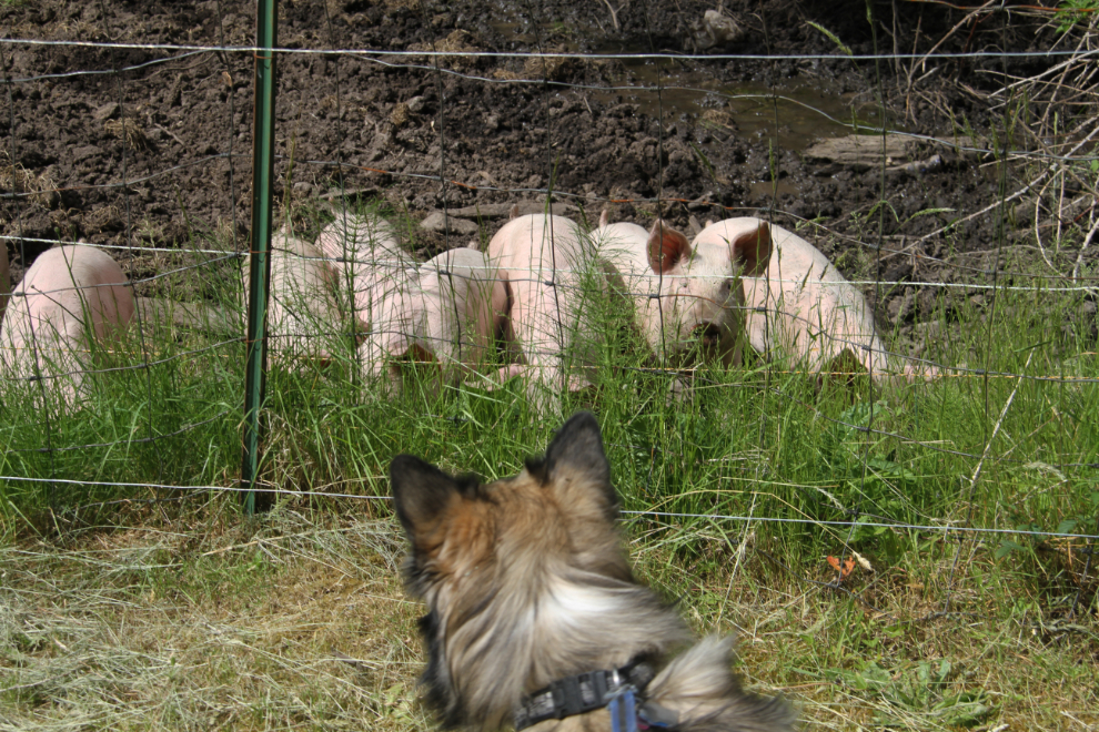
I was back at the motorhome at 3:30, and of course taking Bella and Tucker for a long walk was the first priority. The RV park is next door to a small farm (the “Labour of Love Farm”), and most times that we go by the pig pen, all the pigs rush down to meet us. It happened again this time.
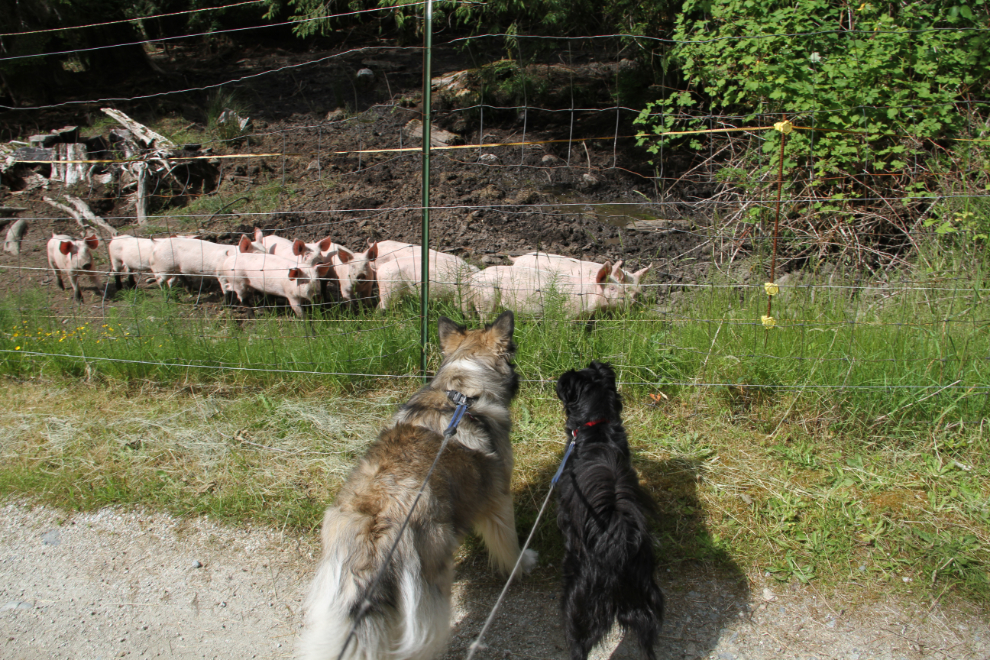
Tucker was a bit curious, but soon decided that he’d rather have them stay on their own side of the fence. Bella, however, really wanted to meet them! The electric fence, installed to prevent another intrusion by bears (which had killed some pigs previously), prevented that.
