BC – South to North in 2 Days
In the past 2 days we’ve driven from the Far South of British Columbia to the Far North of the province. Here’s a brief look at the journey – we’ll be pulling out of Dease Lake for the final 7-hour run to Whitehorse shortly.
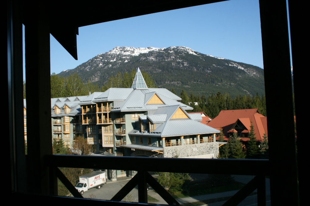
This is the view from our balcony in Whistler on Saturday morning.
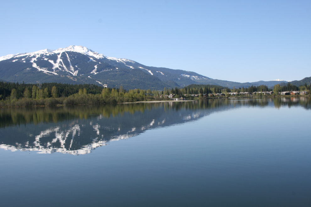
We would really have liked to stay another day, mostly so we could go on a glacier flightseeing tour. But…
We headed north and east, heading for BC’s interior via the Duffey Lake Road, which I used to spend a fair bit of time on when it was just a series of logging roads.
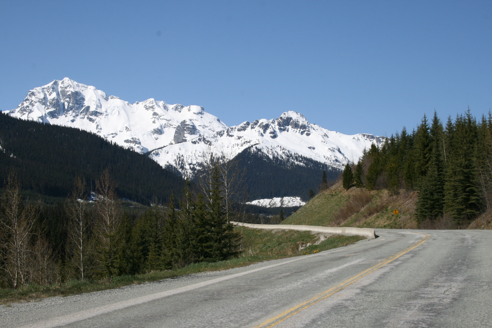
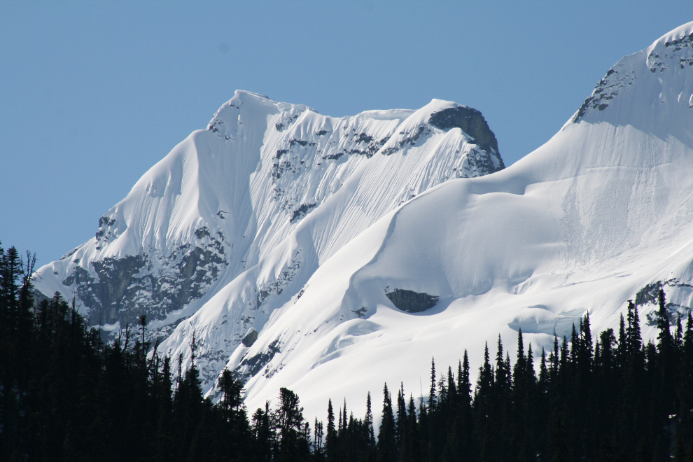
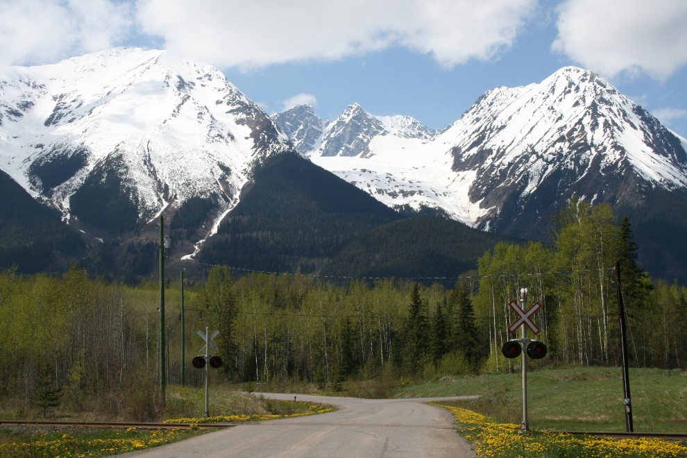
There are some stunningly beautiful mountains along the Duffey Lake Road.
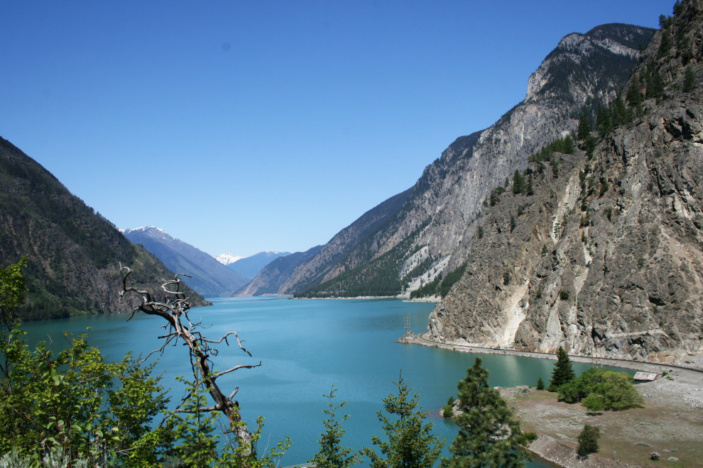
Entering the interior dry belt – this is Seton Lake.
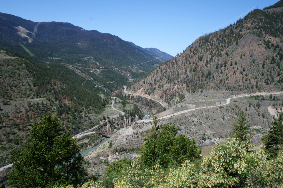
The Bridge River meets the Fraser River just north of Lilloet. On Saturday night, we made it as far as Vanderhoof, west of Prince George on Highway 16.
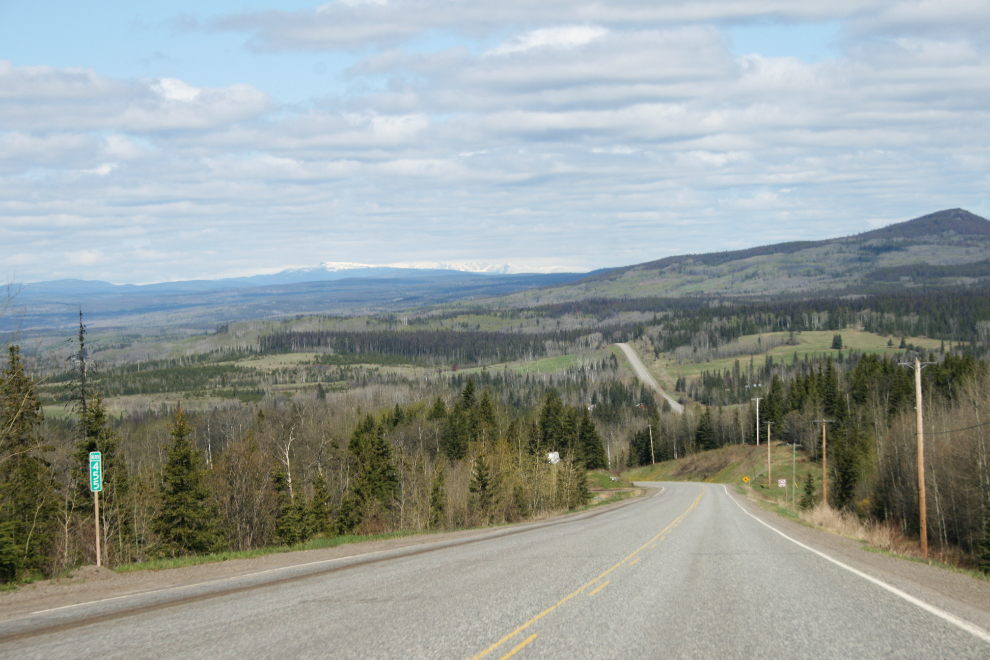
Headed west on Highway 16 near Burns Lake yesterday morning.
A back road just west of Smithers. Sometimes I just can’t avoid making little side trips 🙂
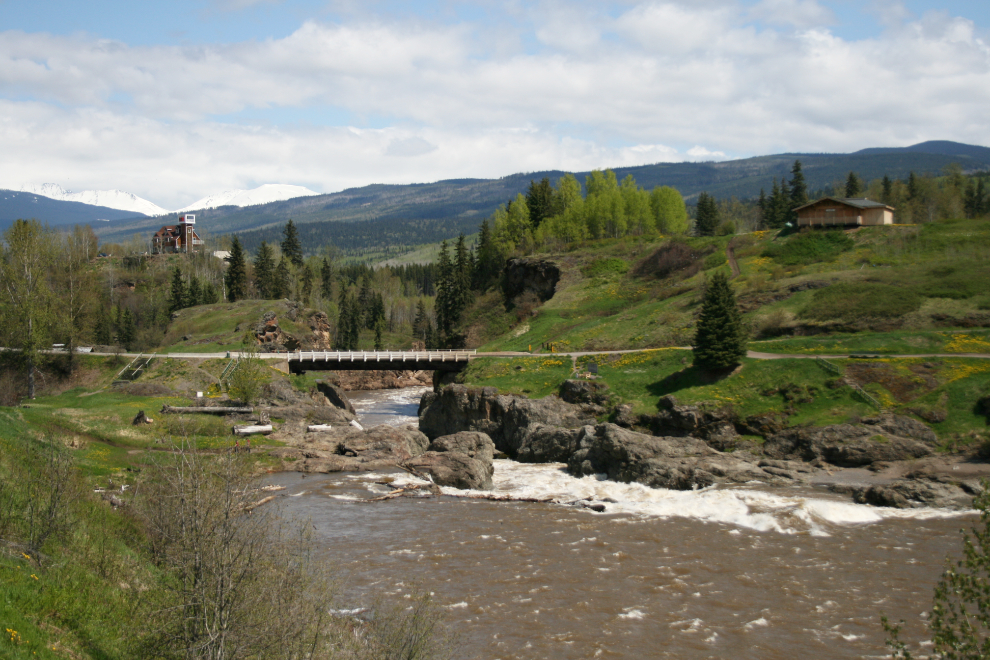
Moricetown Canyon on the Bulkley River. This is a historically significant fishing spot.
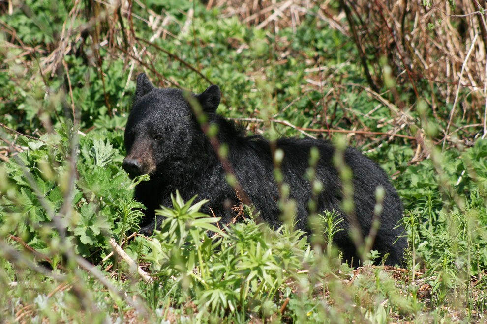
Wildlife viewing on Highway 37, the Stewart-Cassiar, was extremely good. Our count of “big game” for the afternoon was 14 black bears, 4 moose and 3 caribou.
At the summit of Gnat Pass last night, a few miles south of Dease Lake. I’m shutting down now, and we’re off and running for home…