BC RVing: Kelowna to Salmon Arm and Wells Gray Park
It’s now Saturday, October 10th, and I’m home in Whitehorse. We got in on Thursday night after a long, dreary day that began with freezing rain. But between Kelowna and Whitehorse, we saw some wonderful places that I want to show you, so let’s step back a few days.
On Thursday, October 1st (day 23 of the trip), I started north from West Kelowna at about 11:30, and an hour later was out of the congested Kelowna area, on Highway 97. My destination for the night was Salmon Arm, only 123 kilometers (76 miles) away.
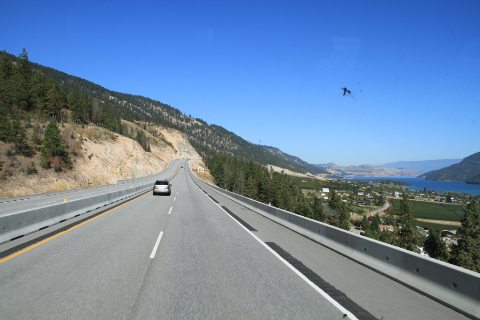
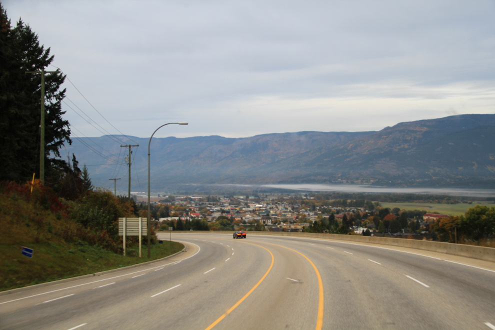
Nearing Vernon, the country dries up considerably and has a very different feel to it.
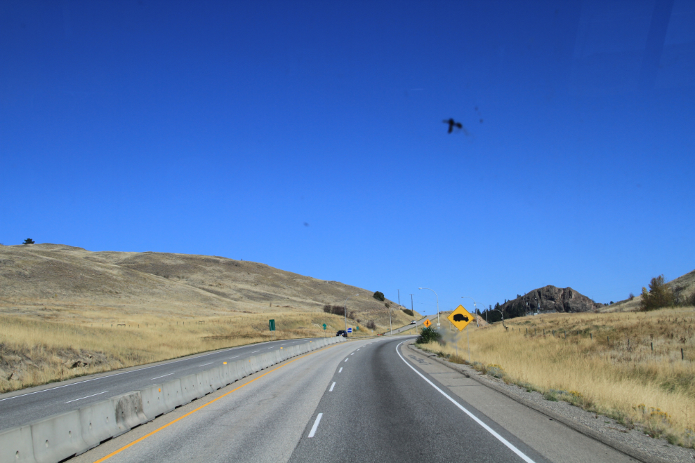
Located near the north end of the Okanagan Valley, Vernon has experienced one of the fastest growths of any community in Canada over the past couple of decades. When I was a kid, it was mostly known for it’s large Army cadet camp – the camp, which I was passing through when I shot this photo, is hardly noticeable anymore.
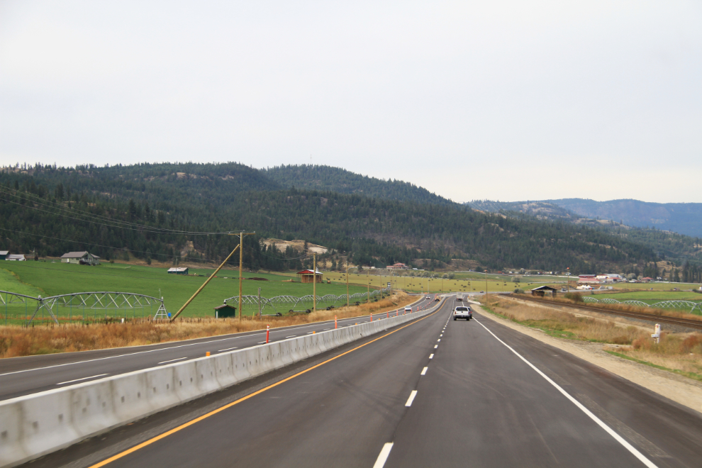
North of Vernon, I stayed straight when Hwy 97 turned left, and Hwys 97A and then 97B got smaller and smaller, with less and less traffic – just what I wanted 🙂
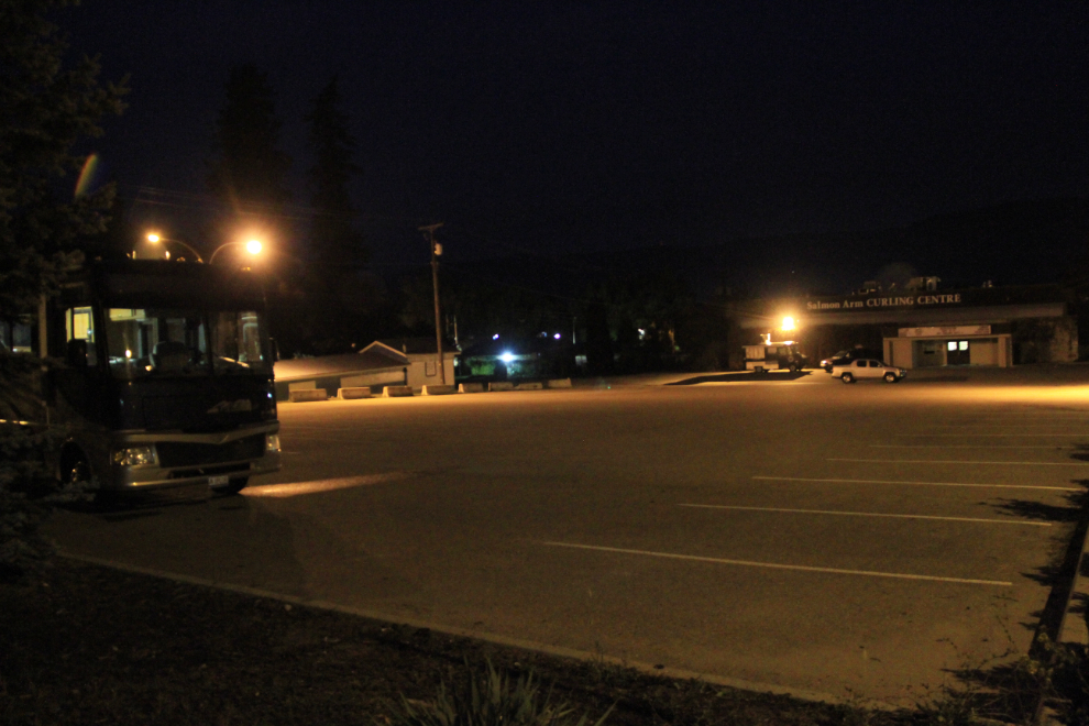
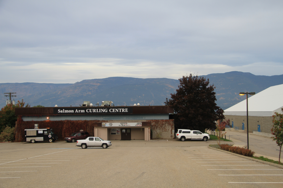
I had extreme sciatica pain the night before and had hardly slept at all, so by the time I reached Salmon Arm I was exhausted. The Salmon Arm curling club wasn’t on my GPS but I eventually found it by asking a couple of locals while I was walking the dogs at the fair grounds. A fellow that I drove Yellow Cabs with in Whitehorse in the mid-1990s is the head ice tech there, and after finding Glen, we went out for a excellent dinner. Glen was a good tour guide as well as explaining the science and art of making curling ice, and he okayed with the club manager for me to stay overnight in their parking lot.
I was in bed early, but by 06:00 was in the curling club to see Glen and his assistant pouring the next layer of water as they built the season’s starting ice.
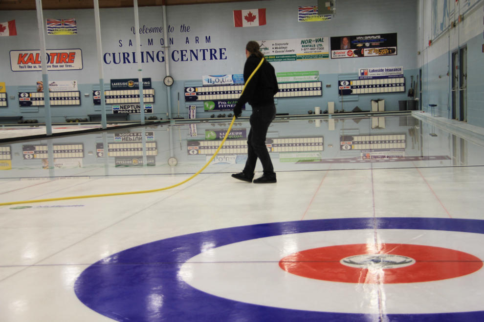
The club seems to be a vibrant part of Salmon Arm, and I can see why my friend is enjoying his life there.
By 07:30 I was ready to hit the road, though my plans for the day were pretty vague. A planned visit that day nearby had been cancelled, so I had a day to spare and no strong idea yet where to spend it.
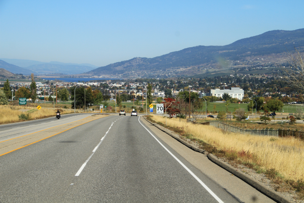
Dropping down from Uptown Salmon Arm to Downtown on Highway 1.
Once on the road, which wanders along a series of lakes and the Thompson River, I soon decided to head west to Kamloops, then north on 5 to a road that I hadn’t been on in a few decades, Highway 24, which would take me west to my next destination. This photo was shot a few k east of Kamloops. As BC’s highways get bigger, they get less fun to “tourist” on as pullouts and rest areas are discarded in favour of more driving lanes.
Highway 5 north of Kamloops soon quiets down, and in that calm, my plans changed again – Wells Gray Park would now be my destination for the night.
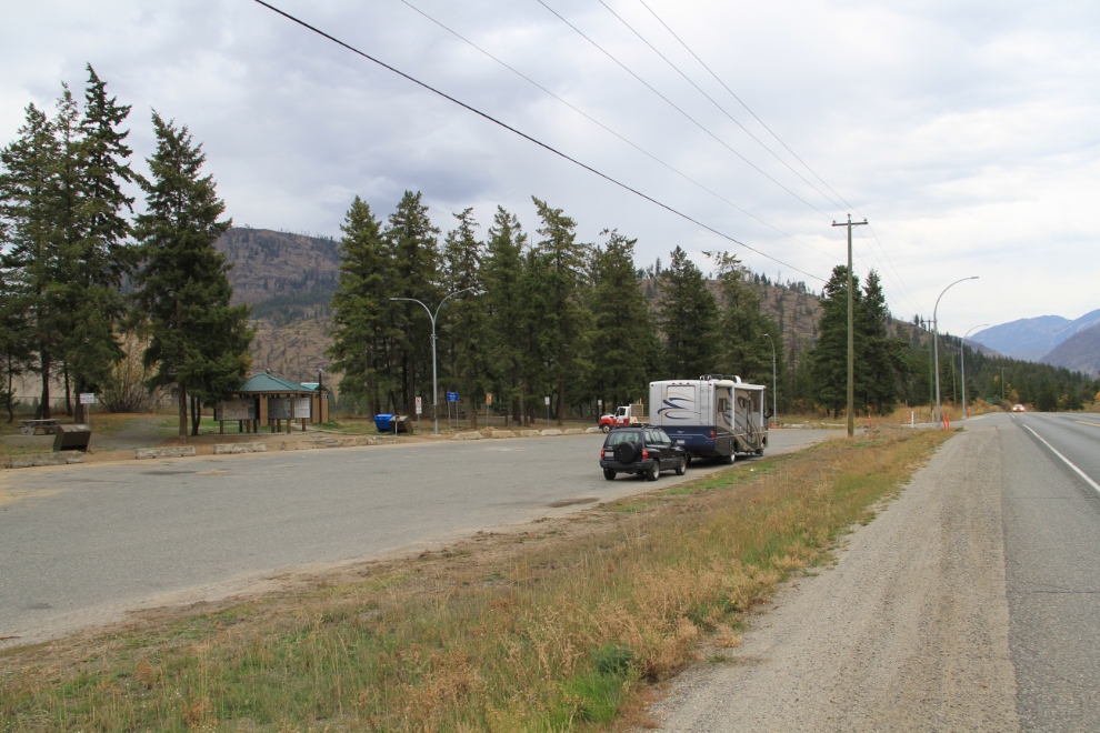
The large Fishtrap Rest Area, located 50 km (31 mi) north of Kamloops, was the right place at the right time – reaching it at 10:00, the kids and I both need a long walk. Although I didn’t know about it until writing this post, BC Highways has recently produced an excellent new interactive map of rest areas that even says whether or not they can be used by large rigs.
It’s not obvious when you stop, but the Fishtrap Rest Area is in quite a scenic spot above the North Thompson River, the largest tributary of the Fraser River.
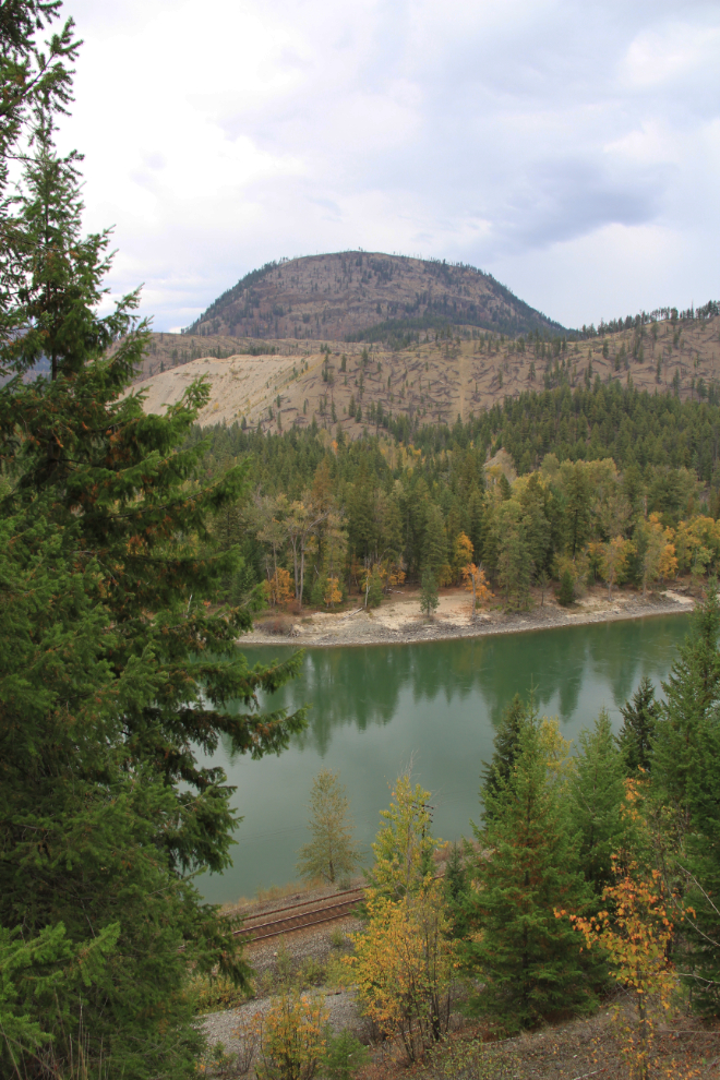
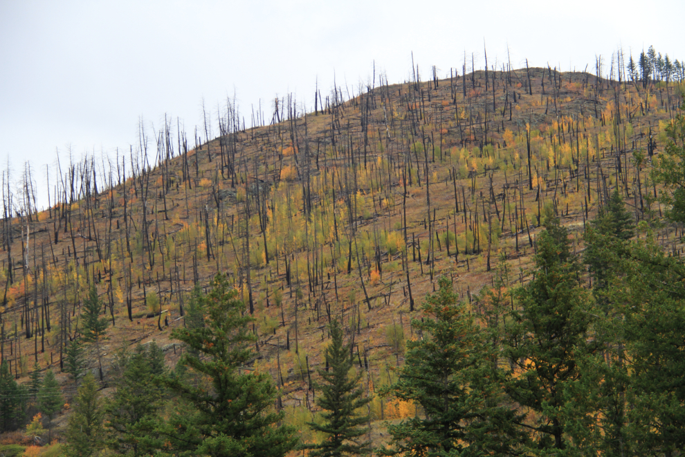
An old forest fire burn area across the river from the rest area.
A few minutes after leaving the rest area, it started raining, and the further north we went, the harder the rain came down.
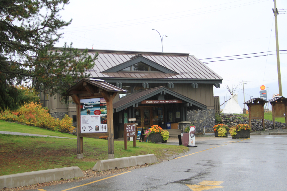
At 11:30 I parked at the Wells Gray Park Visitor Information Centre at Clearwater, 233 km (145 mi) from the curling club. I arrived thinking that I’d unhook the Tracker to explore the park with. The very friendly staff at the centre said that wasn’t necessary, though, that there was good camping up in the park that would make a good base for seeing the park.
Wells Gray Park is simply awesome, and the next post will show you why.