BC RVing: Exploring Wells Gray Provincial Park
The last-minute decision to make the fairly long detour to Wells Gray Provincial Park resulted in one of the most memorable 24 hours of the trip. Established on November 28, 1939, the 541,516 hectare (1,338,115 acre) park offers superb opportunities to see spectacular canyons and waterfalls as well as wilderness canoeing/boating, hiking and horseback trips. Only a small portion of the park, which has 39 named waterfalls, can be accessed by road.
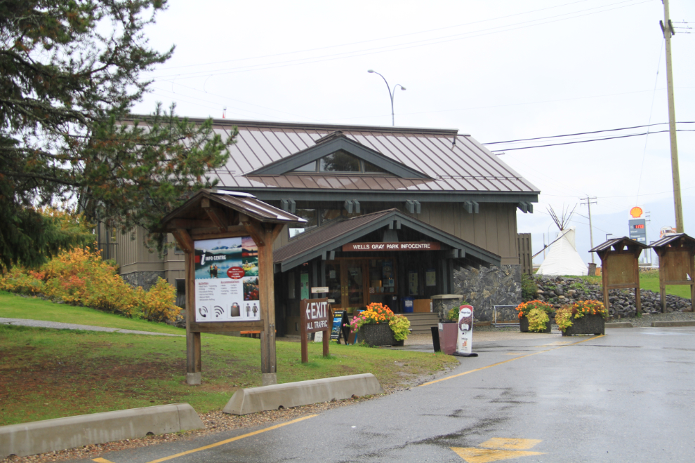
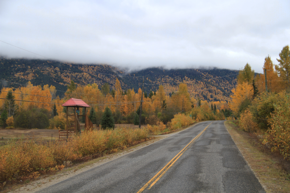
I arrived at the Wells Gray Park Visitor Information Centre at Clearwater in a cold, heavy rain at 11:30 on Friday, October 2nd, day 24 of the trip. As I mentioned in my last post, I arrived thinking that I’d unhook the Tracker to explore the park with, but the very friendly staff at the centre said that wasn’t necessary, that there was good camping up in the park that would make a perfect base for seeing the park.
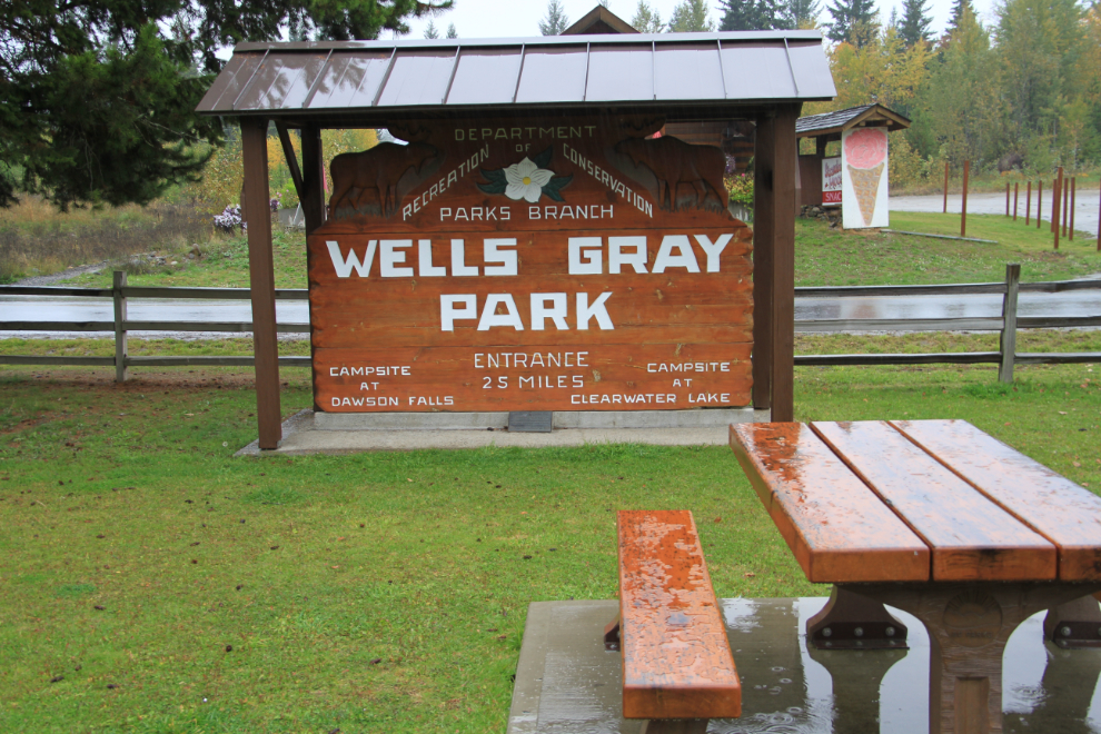
Roads go into the park from the west (from 100 Mile House) and east (from Blue River), but the main access road, the one I used, is the Clearwater Valley Road from Clearwater.
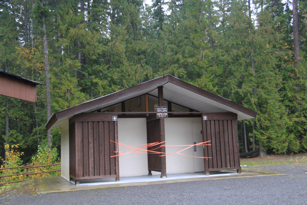
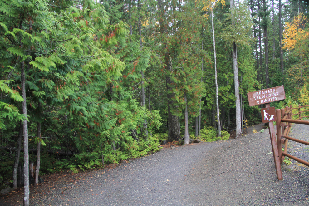
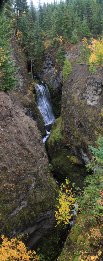
My first stop was at the Spahats Falls viewing area, which has a huge parking lot. There were only 2 other vehicles there, and the bathrooms were closed – these have flush toilets and the water has been shut off to prevent freezing.
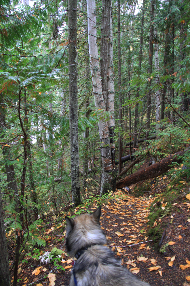
From the parking lot, it’s a 5-minute walk through the forest to the waterfall and canyon viewing area, where a long fenced path leads to a viewing deck perched on the edge of the canyon.
With clouds and fog, my first view of the Spahats Creek canyon was perhaps even more impressive than it would be on a sunny day.
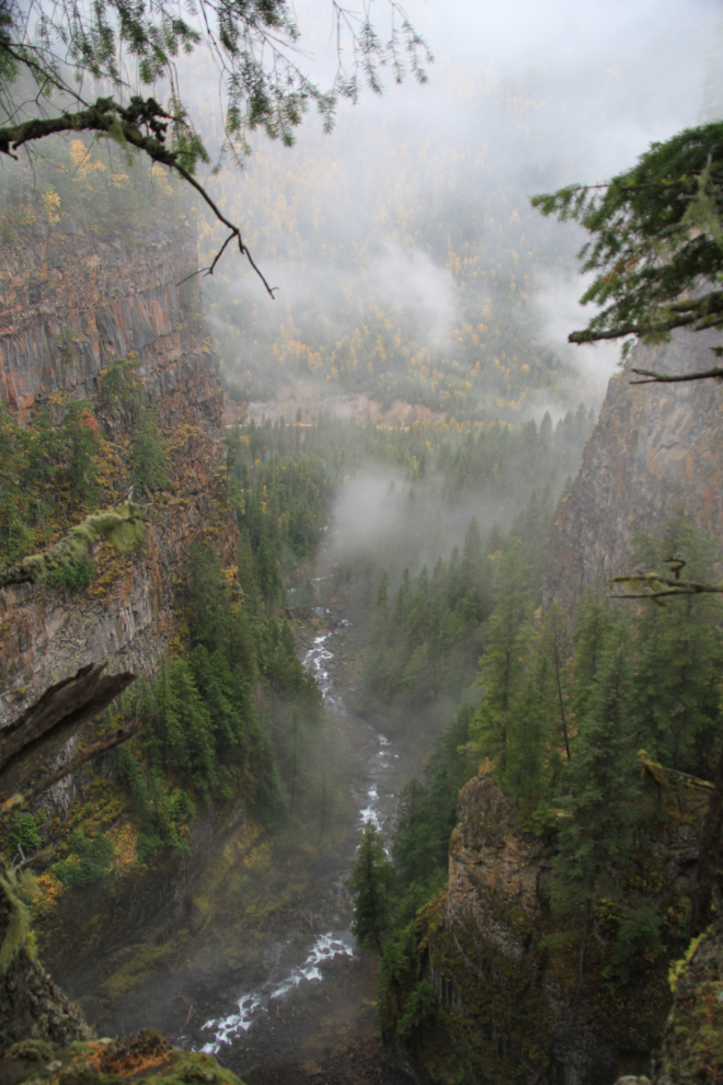
Spahats Falls is 73 meters (240 feet) high and 9 meters (30 feet) wide. According to Roland Neave’s “Exploring Wells Gray Park”, Spahats is the First Nations term for bear and the stream was long known as Bear Creek. When the first accurate topographical map of the Clearwater Valley was published in 1953, it labelled the stream as “Bear Creek” and the falls as “Spahats (Bear) Creek Falls”. By the late 1960s, “Spahats” had become an accepted alternative due to the large number of Bear creeks in British Columbia and was officially adopted.
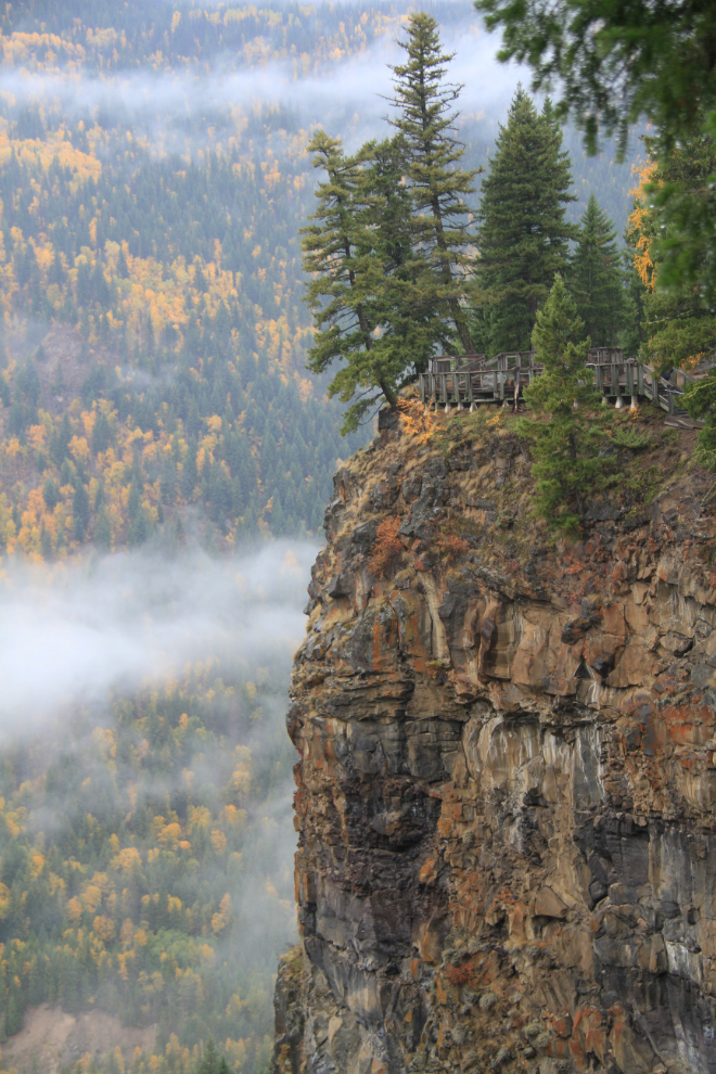
A look back at the main Spahats Falls viewing deck.
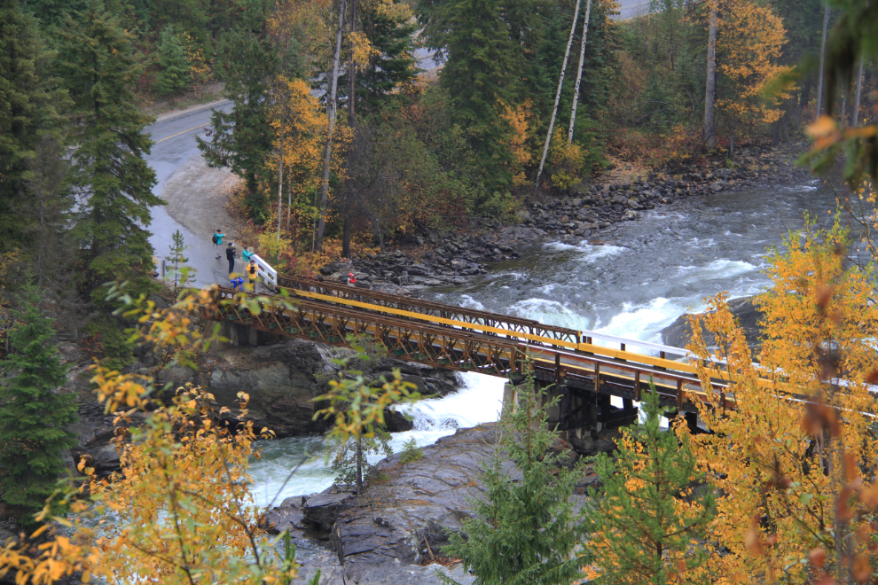
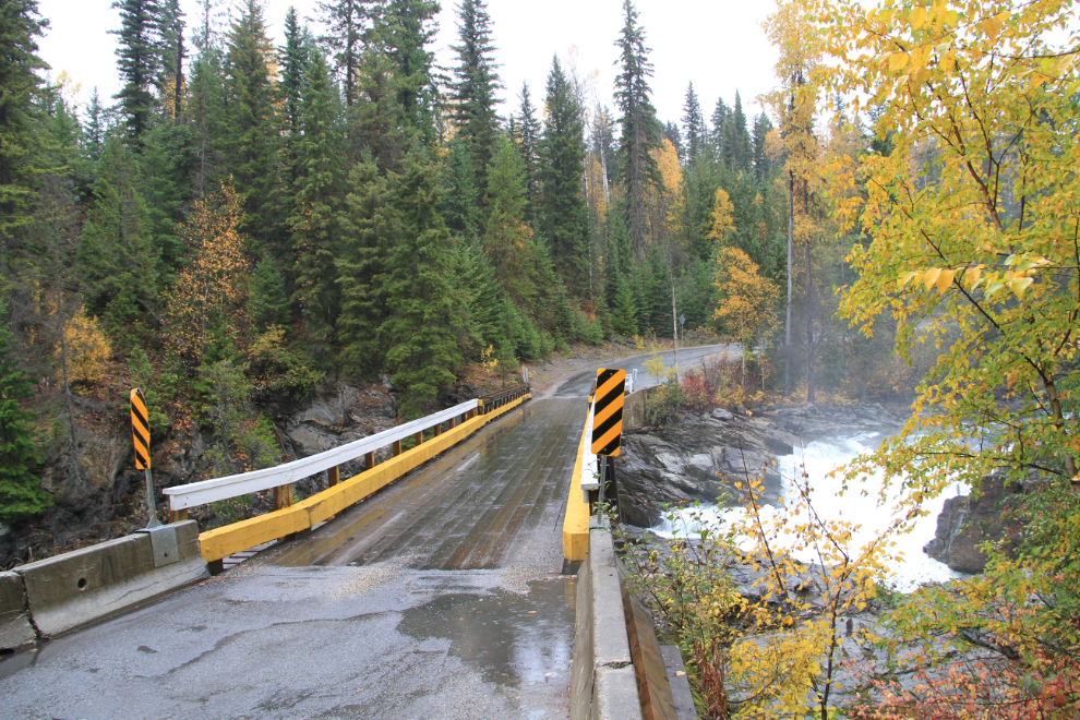
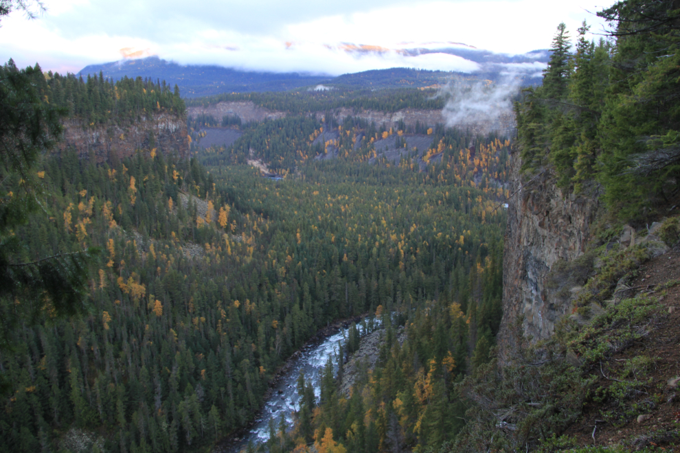
Back on the Clearwater Valley Road, a tiny sign marks the viewing area for very impressive Third Canyon. This is the canyon above the road, from the road bridge – it’s hard to see just how deep the canyon is. On the other (downstream) side of the road, the canyon is 80 meters (262 feet) deep.
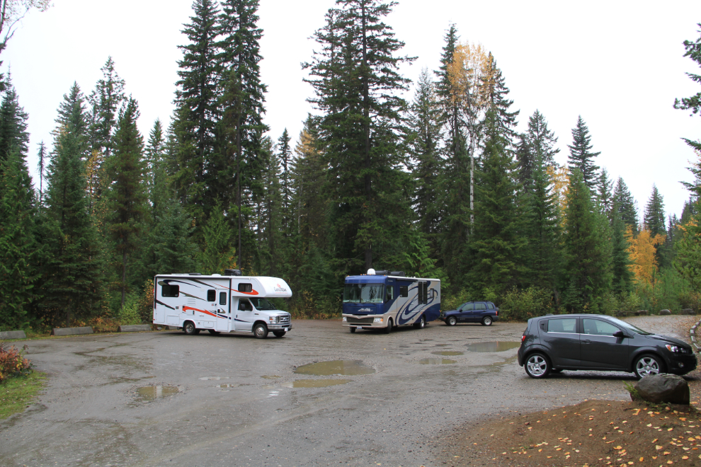
The trail to Dawson Falls was my next stop. This parking lot is not big-rig friendly. Luckily there were only 3 other vehicles, but if there was any indication of this on the road, I would have gone to the campground and unhooked the Tracker first.
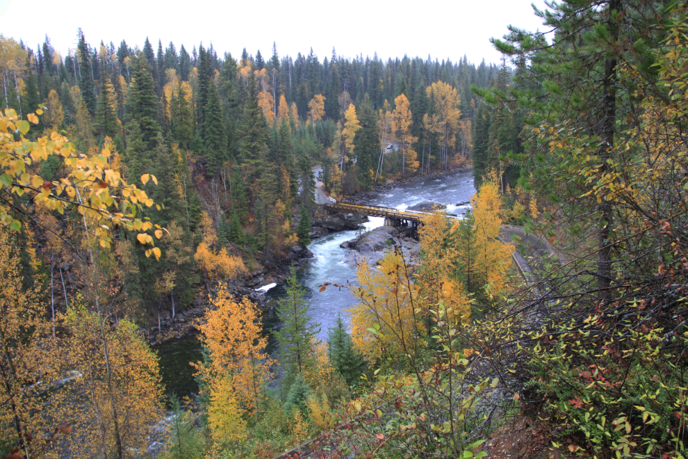
A view of the park road crossing the Murtle River, from the Dawson Falls trail.
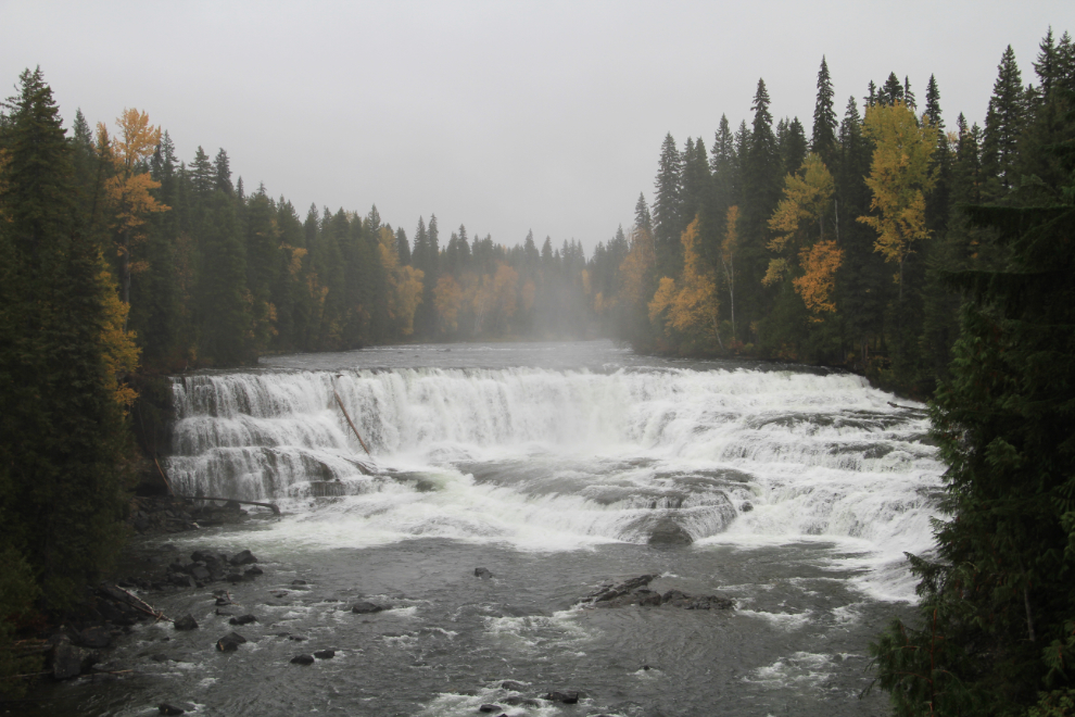
Dawson Falls, on the Murtle River, is 18 meters (59 feet) high and 107 meters (351 feet) wide.
There are some blocked trails leading down to the Murtle River – the fact that they’re blocked made me want to go down to see why, of course 🙂
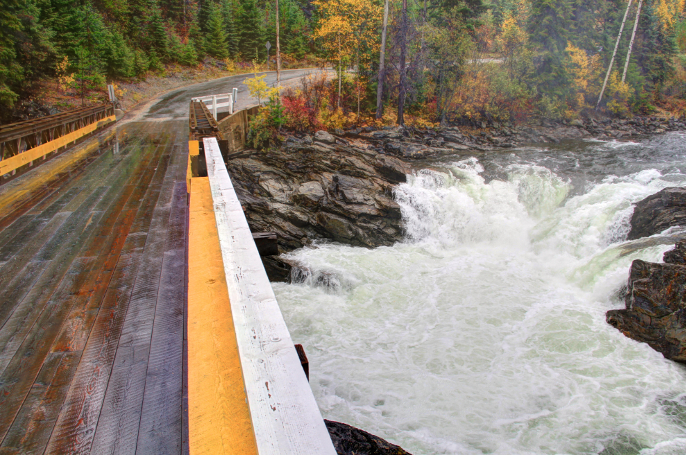
Another view of the park road crossing the Murtle River.
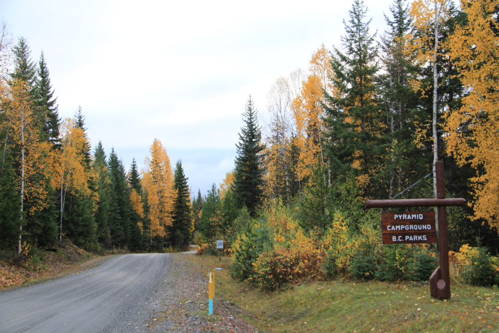
Pyramid Campground, sometimes called the Dawson Falls Campground, would be my home for the night. It has 32 sites, and although it closed on September 30th, was not gated. Wikipedia says that the campground is “seldom full as mosquitoes are abundant” but that’s not a problem in October.
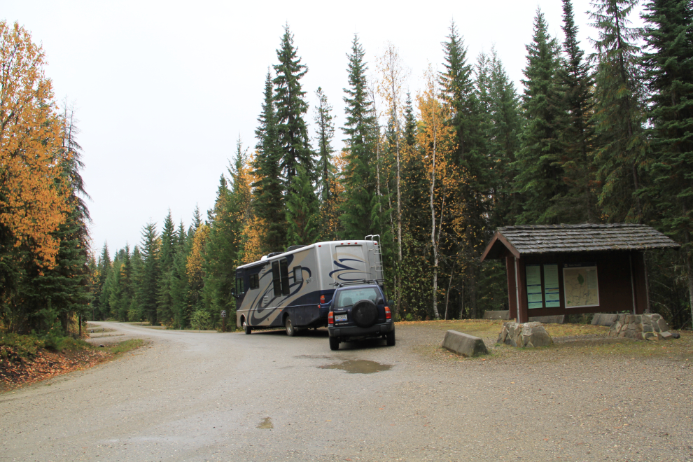
There was nothing at the campground information and registration area to indicate that the park was closed and paying the $18 fee wasn’t necessary, but the staff at the visitor centre in Clearwater had told me that was the case.
Not finished with the one-lane bridge across the Murtle River yet, I took the Tracker back to it and did some wandering.
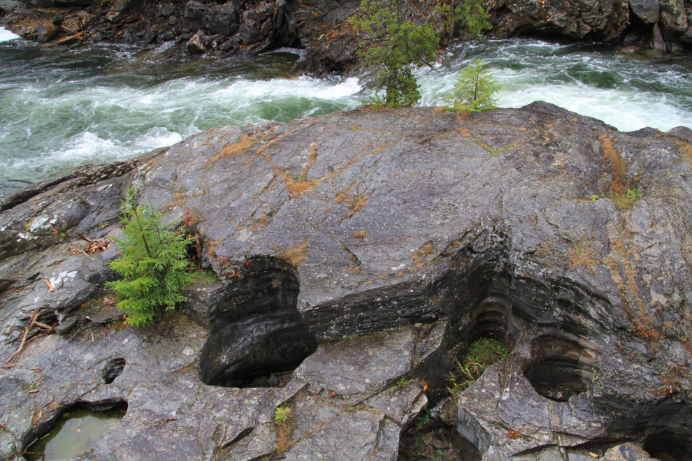
There are some potholes below the bridge. These are caused by rocks swirling around in depressions, eventually eroding these potholes which can be of any size. Sometimes the rounded rock that formed them is still in the bottom.
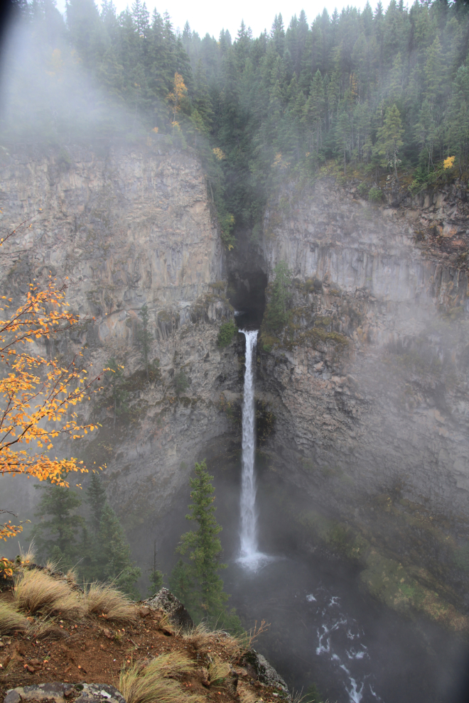
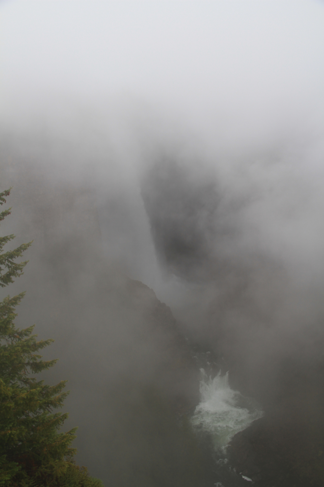
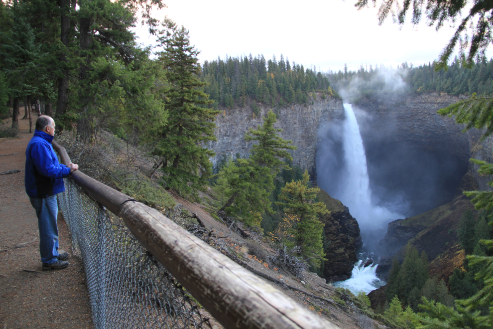
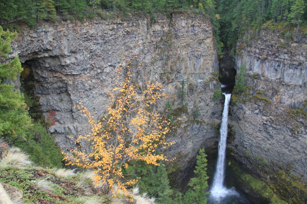
At 141 meters (462 feet), Helmcken Falls is the highest waterfall in the park and the fourth highest in Canada. For several minutes the fog completely obscured the falls – I talked to 3 Scandinavian men who had just spent half an hour hoping for the fog to clear, with no better luck than this shot shows.
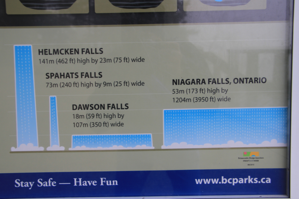
This sign at Helmcken Falls shows the park’s 3 main waterfalls compared to Niagara. The reported heights and widths of these waterfalls vary a fair bit depending on where you’re reading them.
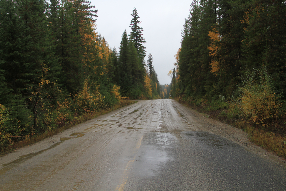
I decided to drive up to the end of the road, the boat launch at Km 68.5 (Mie 42.6). Just north of the Helmcken Falls turnoff, the pavement ends. The gravel road was all in pretty good condition, though.
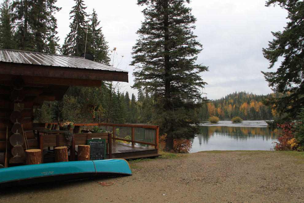
The coffee shop on Clearwater Lake beside the campground was reported to be open, and 2 signs on the building said that it was or at least should be, but the sign on the door said “Closed” and the lights were off. Too bad – I really had a craving for a coffee and a piece of pie.
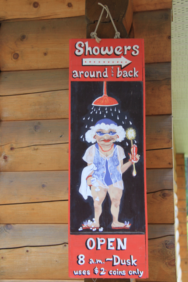
The Clearwater Lake campground was also closed. Cute shower sign 🙂
I had made few stops on the drive to Clearwater Lake, planning on a coffee stop and then to make lots of stops on the way back to the motorhome. The first stop was Bailey’s Chute on the Clearwater River. A few weeks ago, there would have been spawning salmon jumping here.
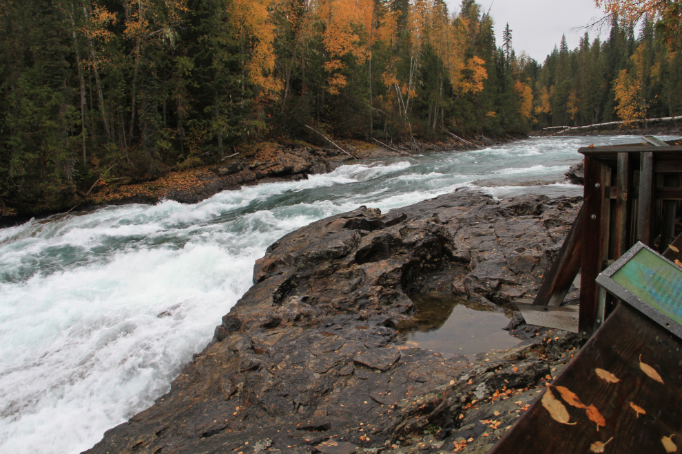
All of the attractions in Wells Gray require at least a short walk, and all of the trails that I saw are excellent. The one at Bailey’s Chute has some impressive cedar trees.
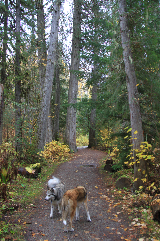
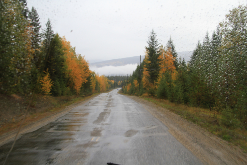
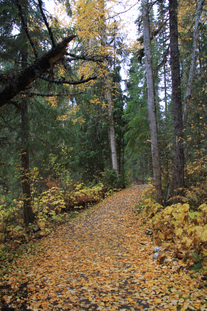
Fall colours brightened up all of the trails, even in the light rain that fell sporadically for much of the day.
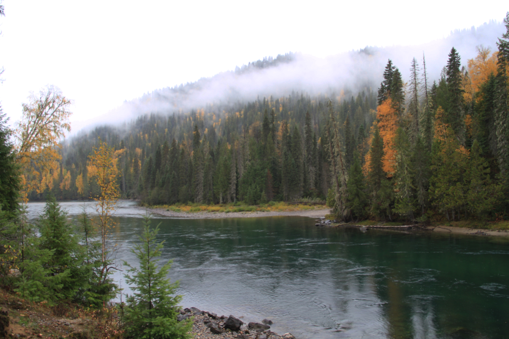
The small Redspring picnic area is in a lovely spot along the Clearwater River.
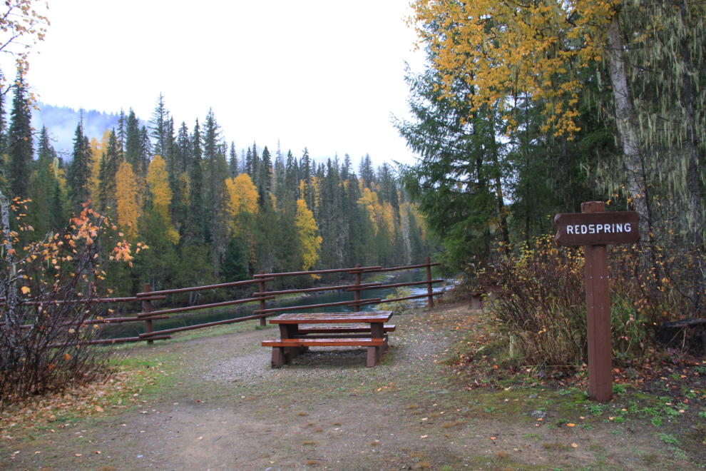
The Clearwater River at the Redspring picnic area.
We had a very quiet night at the Pyramid Campground, and were all in bed early as usual. Saturday, October 3rd (day 25 of the trip) began early – I left the dogs in the motorhome and was back at Helmcken Falls by 07:00 (sunrise was at 07:18). It was a bit chilly, with the temperature at about +3°C (37°F). These were the views I wanted to complete my visit to the park.
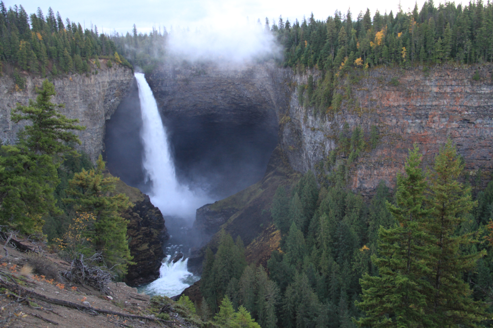
The view down the canyon below Helmcken Falls.
Satisfied with the photographic results at Helmcken Falls, I went back to the campground, fixed breakfast for everybody, hooked the Tracker up, and we were back on the road just after 09:00.
Before leaving Wells Gray, we made one more stop back at Spahats Falls, to improve on the foggy photos I’d gotten the day before.
The destination for that day was a friend’s place near Horse Lake, east of 100 Mile House.