Back to Gros Morne to hike Tablelands
Monday, June 15th, Day 18 of our trip and the 11th day in Newfoundland, didn’t go anything like we had planned – it was far better 🙂
I was up early writing as usual, when a boat came along and hurried back and forth along our bit of coast dropping lobster pots – probably 40 or so in total.
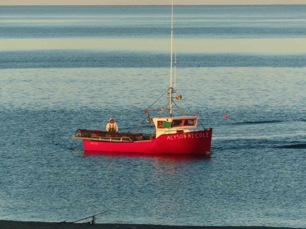
Although we planned to drive about 300 km this day – halfway to Twillingate – we were also rather reluctant to leave Port au Choix, so didn’t leave nearly as early as we thought we would.
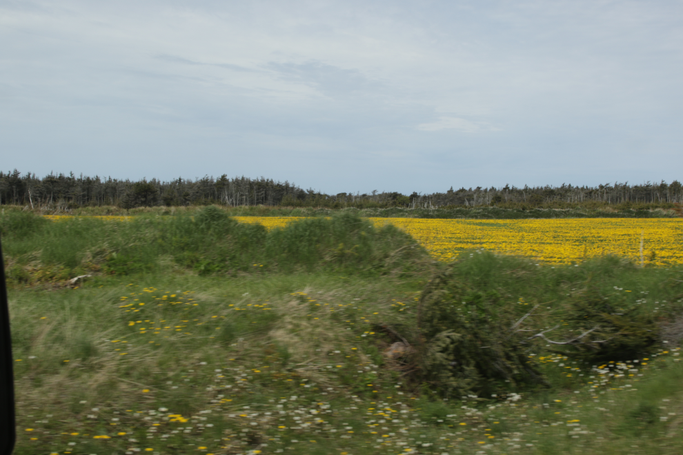
Not long after starting south, we went though an area that had massive fields of what look like dandelions – as well as lots right along the shoulder of the road. If there would have been a place to pull over we would have gotten out for a close look.
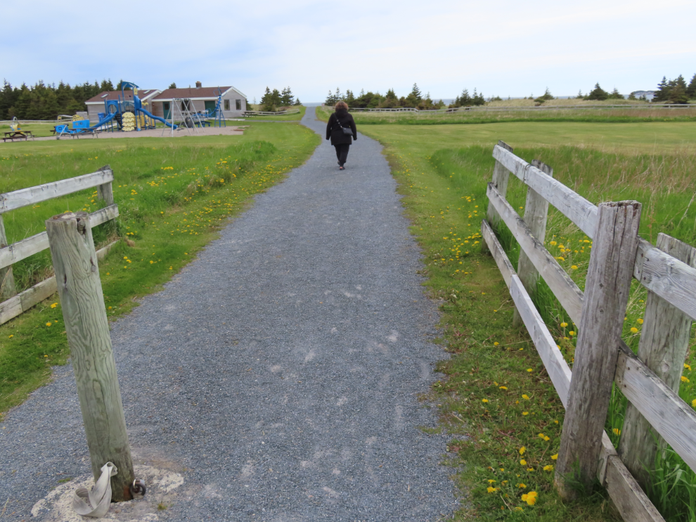
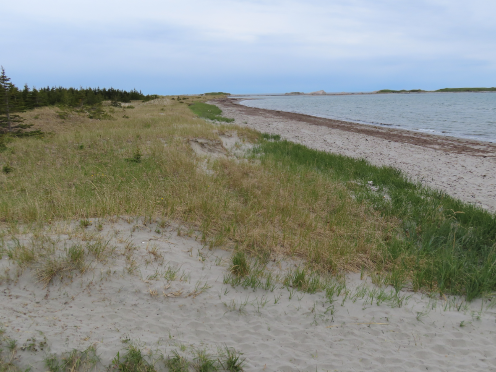
Our first stop was at Shallow Bay, 150 km south. It’s a Parks Canada site on 5 km of sandy beach, a rarity in Newfoundland. I thought it would be a great place for a walk but it was far too windy so it was a brief stop.
“Marram grass holds the dunes together as a living community of plants and animals. The leaves and stems slow the wind so that sand grains drop rather than blowing inland. As sand accumulates, the grass grows, trapping more sand. Marram grass can survive heat, cold, salt, and sand-blasting, but dies if trampled. Please do not walk on the dunes.”
Old steel arch, steel deck bridges like the one at St. Pauls are rare.
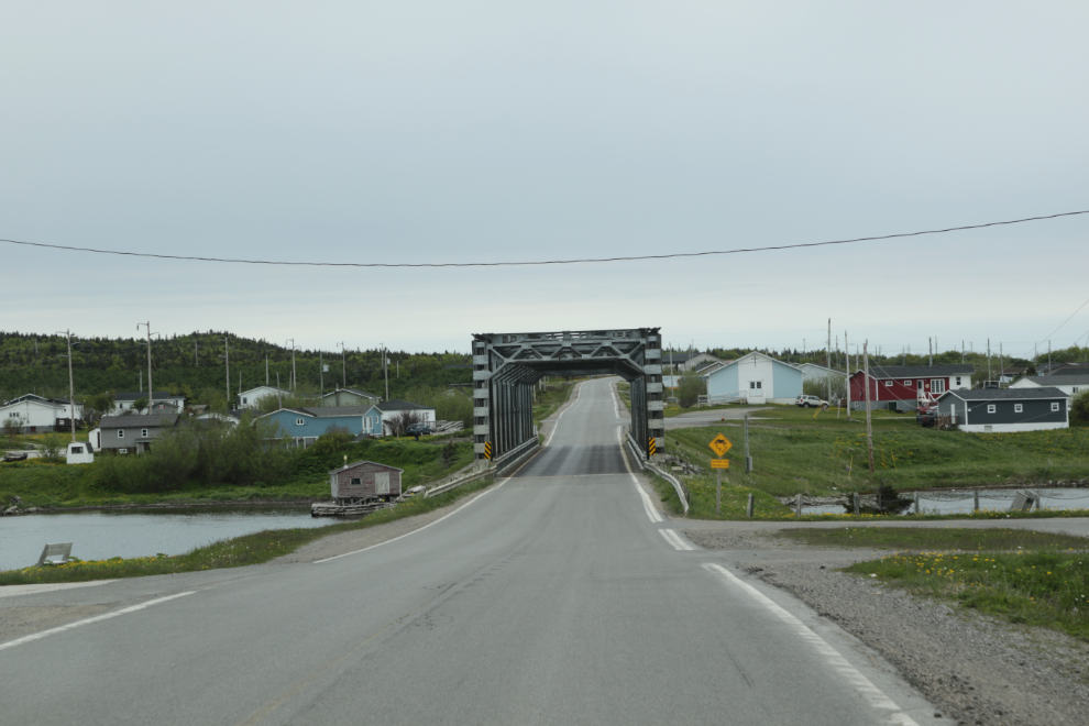
I really enjoyed driving Highway 430, officially the Great Northern Peninsula Highway but now known as the Viking Trail. It’s in generally good condition, there was little traffic, and it wanders around through a wide variety of terrain.
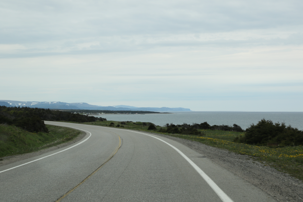
By 2:30 the country was looking very Gros Morne-ish. Seeing a sign for Tablelands reminded me that I had really wanted to hike that trail, but the weather was dreadful on the only day it had been possible. I asked Cathy how far a detour it was, and her incorrect answer “about 15 km” lead to us having an amazing afternoon. If she had said 38 km, I probably wouldn’t have made that turn at Wiltondale.
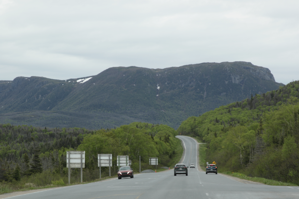
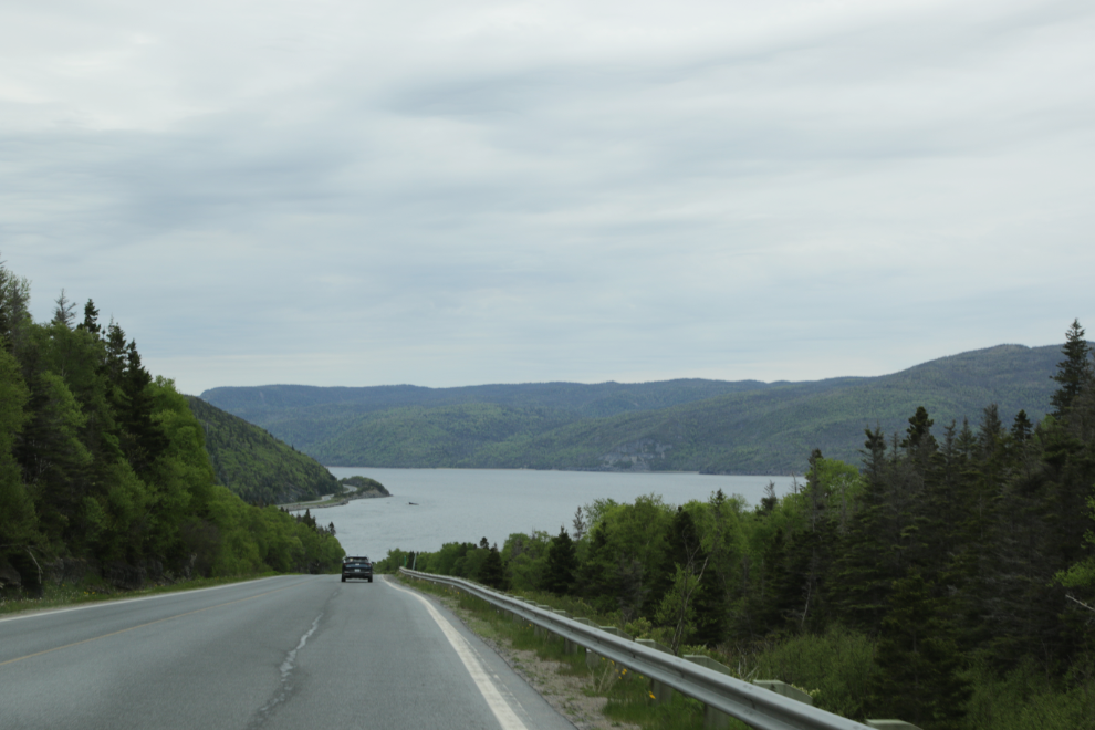
Once we realized the error but I was committed to hiking the trail, we started thinking about a place to park for the night. That prompted us to stop at the Water’s Edge Gros Morne Campground, where we had stayed back on June 6th. Only an unserviced site was available, for $25, but it served our needs for that night.
I was extremely pleased when Cathy said she wanted to join me for at least part of this 4-km hike. At 3:55, we started up the trail.
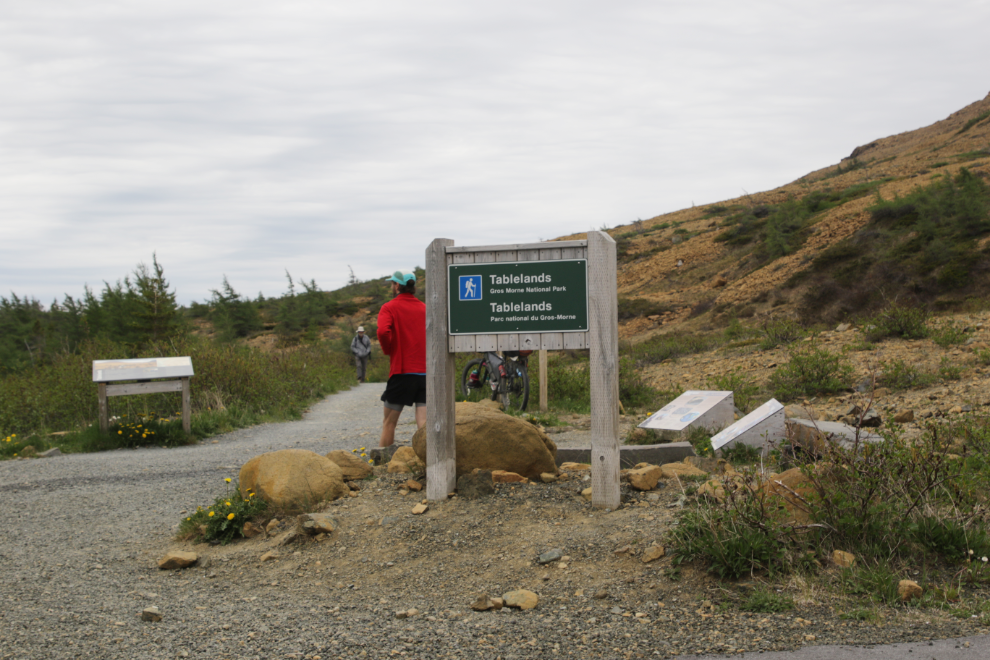
The trail has an elevation gain of 75 meters, and a lot of that is early on the trail.
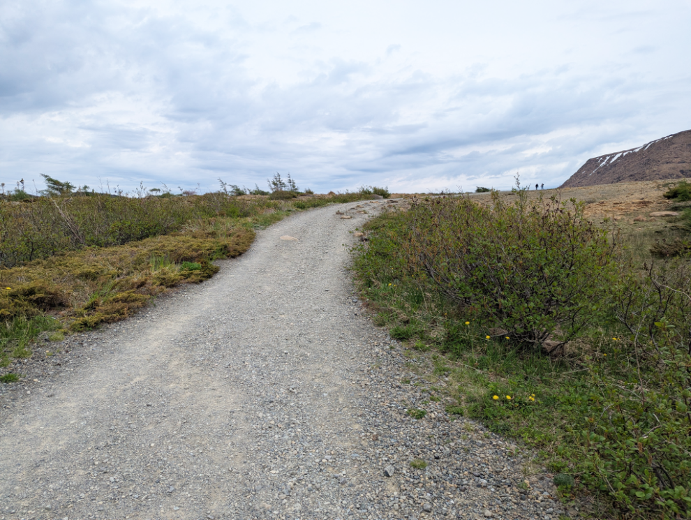
Much of the trail is the old road to Trout River. As well as giving it lots of width, there are also plants along the trail that aren’t found anywhere else on the Tablelands.
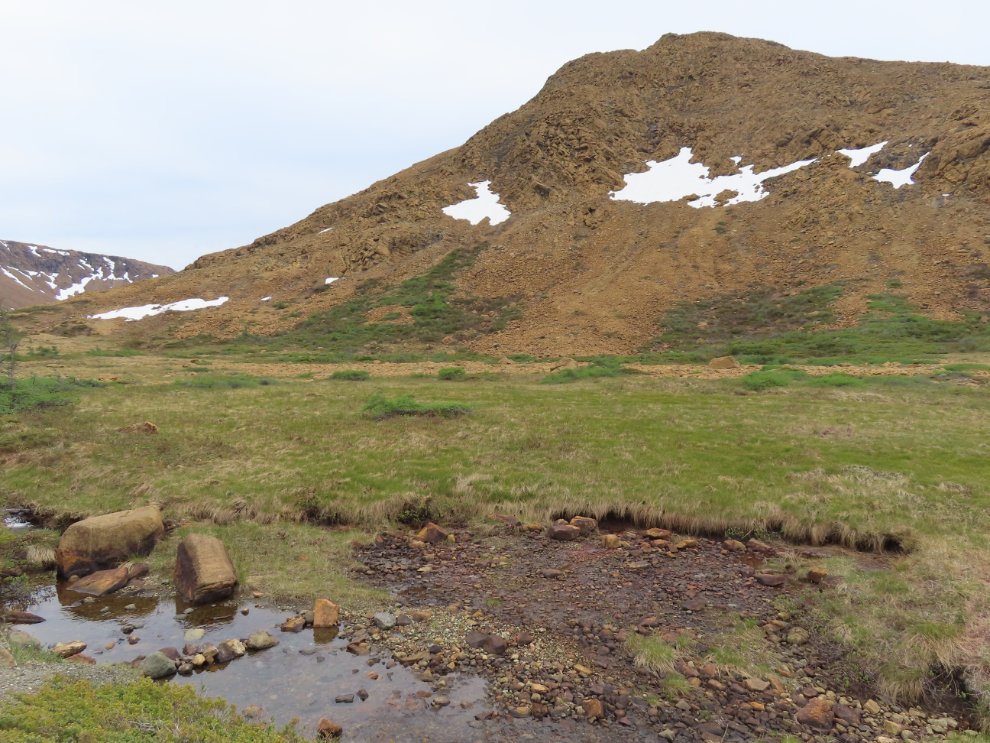
Although early in the season at this altitude, some of the wet areas have abundant grasses, flowers, and mosses.
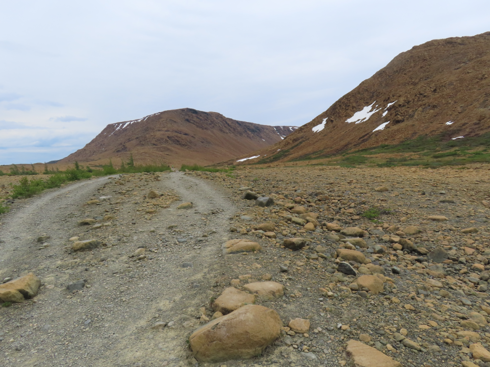
The dominant type of rock in the Tablelands is peridotite. Although they are a rusty orange colour on the surface due to oxidation, when broken open you can see the natural dark green or brownish-black.
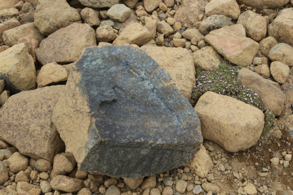
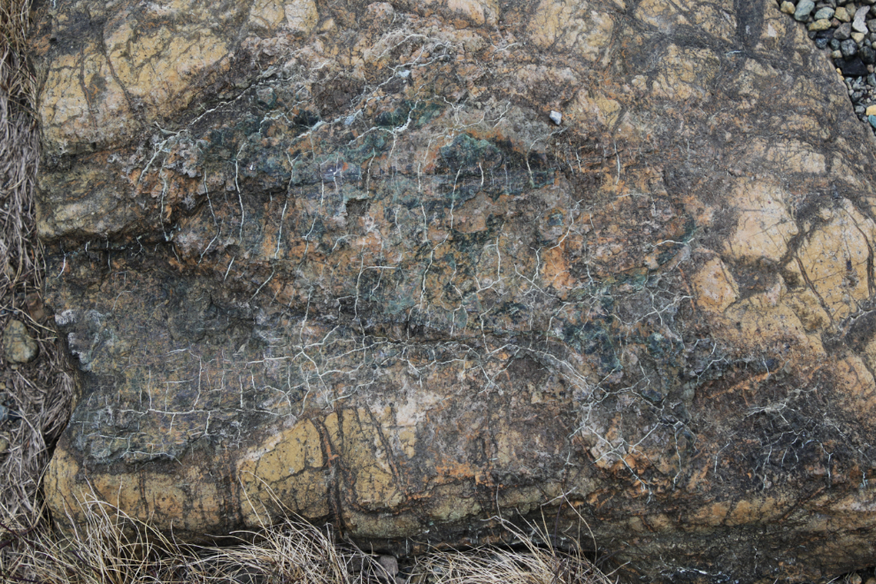
When peridotite reacts with water it can form serpentinite, often identified by the spider-webbing seen in the next photo, or a more pronounced snake-skin.
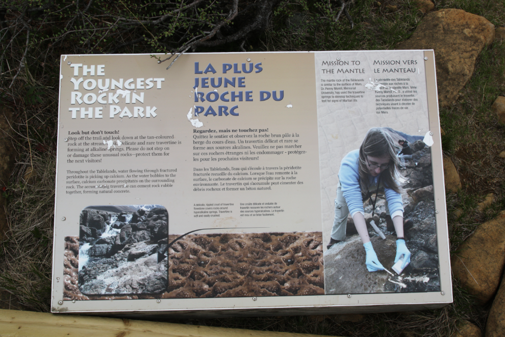
There are about a dozen interpretive panels along the trail, and a few benches, mostly very low ones made from rock.
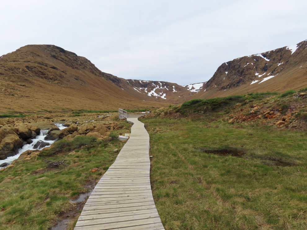
There’s a lengthy boardwalk as you near the viewing deck at the end.
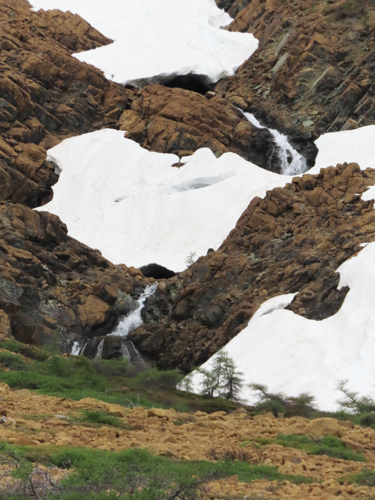
The sound of this cascade was a nice addition.
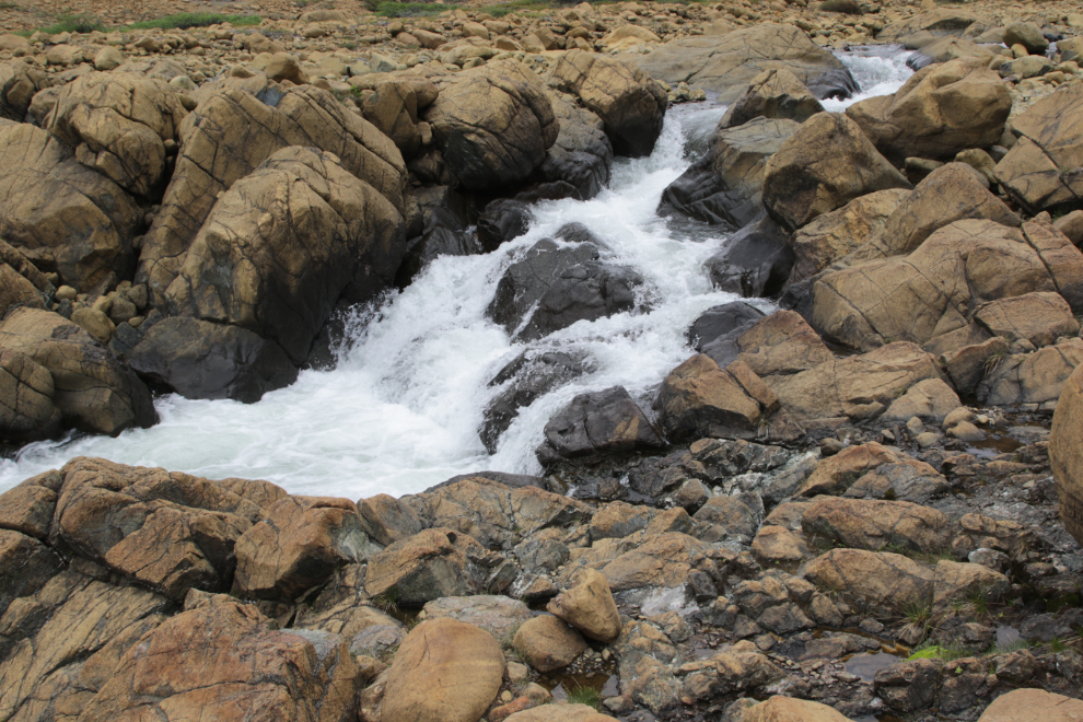
Waterfalls at the head of the valley where the trail ends are a popular destination for those who want to continue. The best hiking by far at Tablelands is off-trail, and the rangers at the Discovery Centre will advise hikers on the best routes.
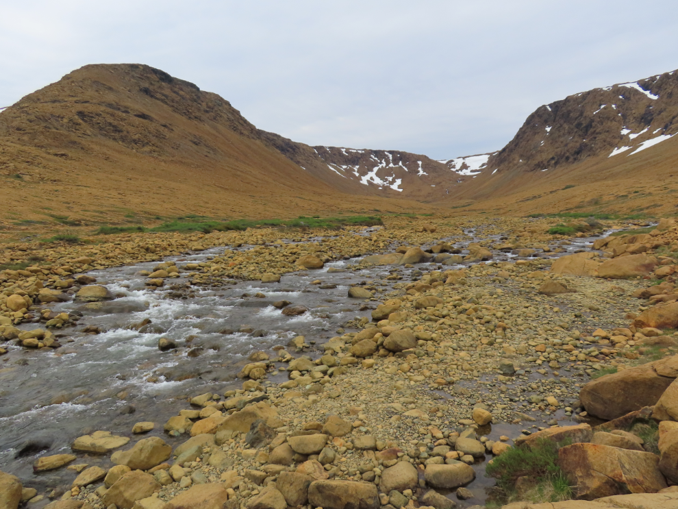
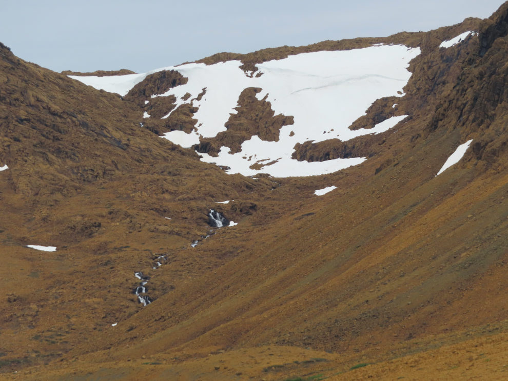
Although she warned me that she hadn’t made it back to the RV yet, I was very proud of Cathy – this was her longest mountain hike in years.
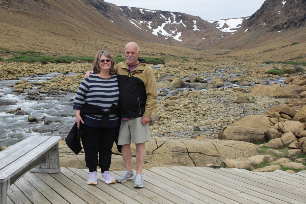
It was a great place to shoot a video.
Another waterfall on the way back down.
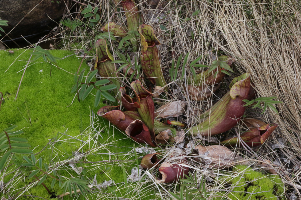
The odd leaves on the right are a Purple Pitcher Plant (Sarracenia purpurea), a fascinating carnivorous plant native to Gros Morne. The official provincial flower of Newfoundland and Labrador, it can grow in these bogs, marshes, and acidic, nutrient-poor wetlands because they get their nutrients from insects that are trapped and digested in the fluid inside those tubular leaves. It doesn’t require nutrients from soil and avoids absorbing toxic amounts of magnesium and iron.
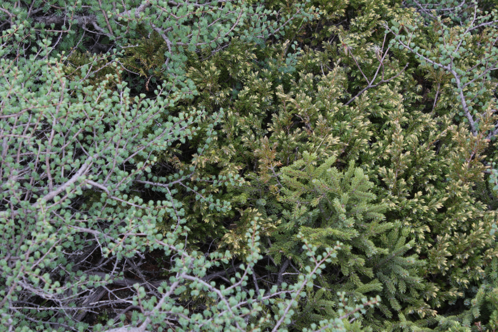
A wonderful mosaic of three types of evergreens. The silvery-green one framing the others and just budding is a tamarack (Larix laricina), commonly known in Newfoundland as the Eastern Larch or Juniper.
Just before 6pm we were about to turn onto the road along the coast, with our RV park just a couple of km away.
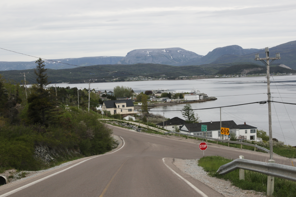
That’s our rig in the centre.
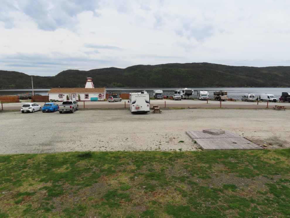
Cathy read in the park’s brochure that there is an excellent photo op out at the end of the rock pier – yes there is 🙂
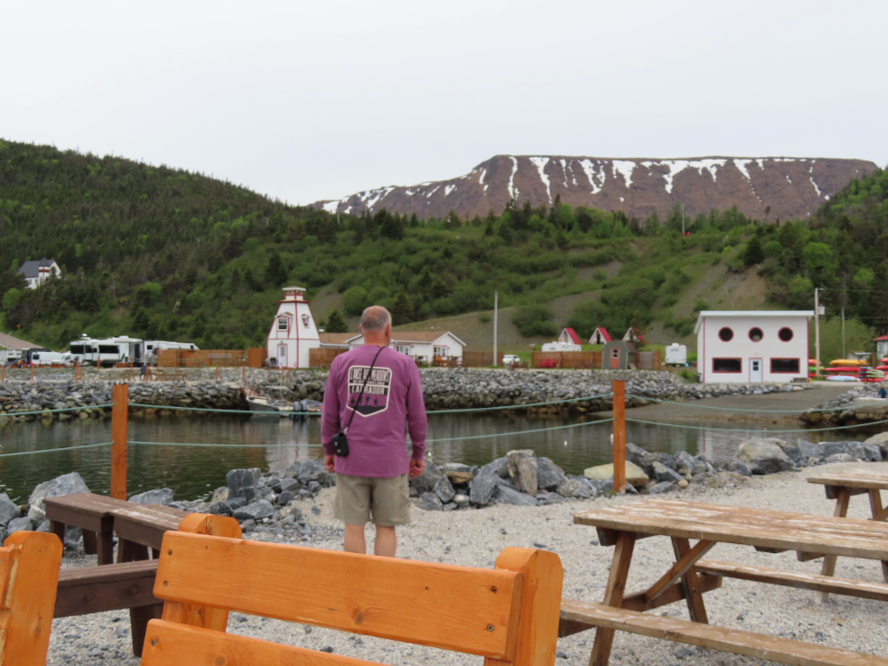
The next day, we would have a much longer drive to Twillingate than we’d planned – but this afternoon was so amazing it would be worth it.

About The Author

I really enjoyed that hike although we did it in howling winds. Yay for Cathy!!