Back in Atlin to document the cemeteries
Over the past couple of days (Tuesday and Wednesday, September 17th and 18th), I finally completed a project that I began in August 1991. Well, it wasn’t a “project” in 1991, that was just the first time I photographed some of the graves at the Atlin Pioneer Cemetery. In 2003 I built a website for that cemetery, then in 2013 another site for the “new” (post-1947) cemetery. I’ve added many photos over the years but had never made it a priority to finish. However, I now have photographed every grave in both cemeteries – most have 2 photos, a broad view and a closeup of the headstone/headboard.
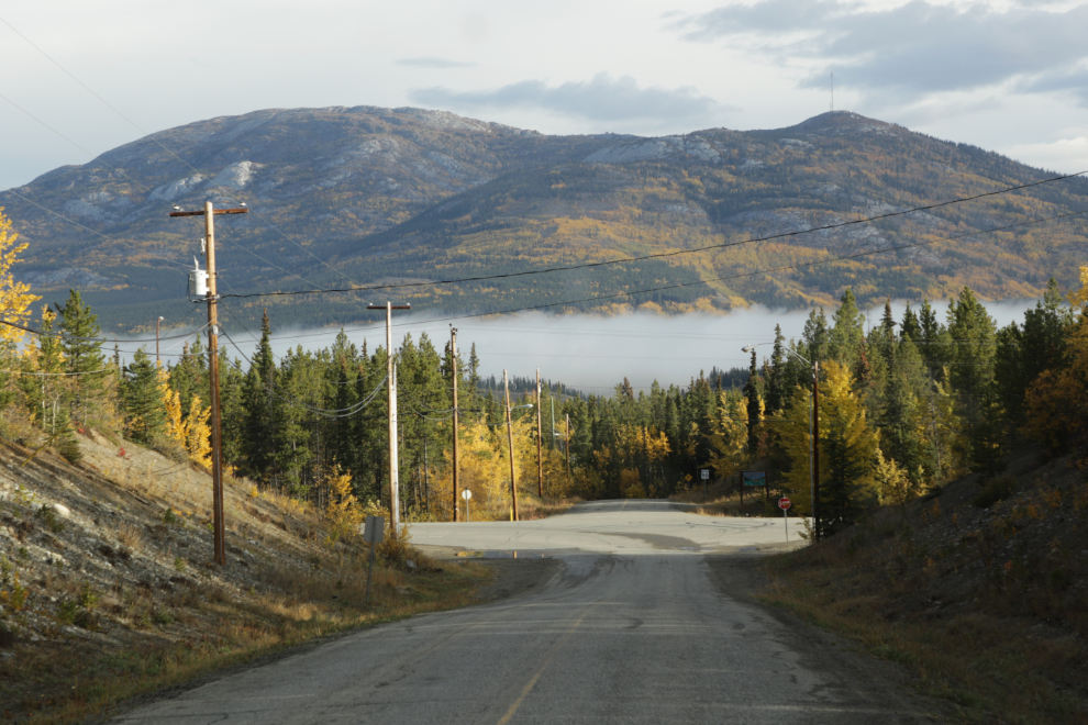
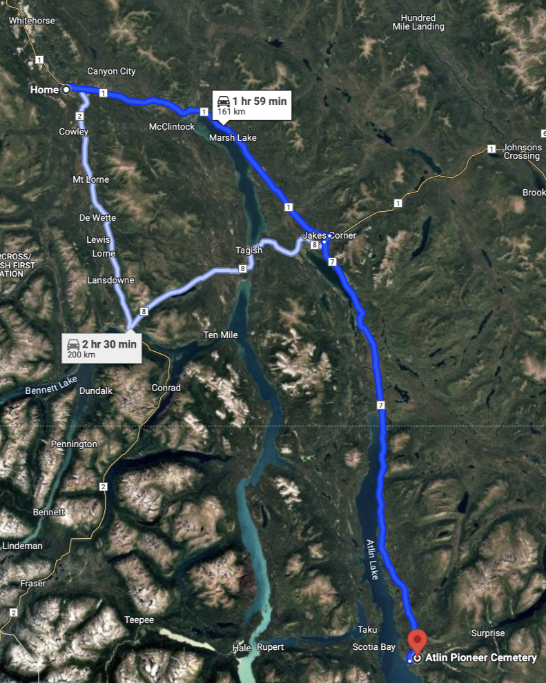
When I left home just before 10:00 Tuesday morning, there was a lot of valley fog but it promised to be a nice day. That’s the Alaska Highway crossing in front of me in the next view – the Atlin Pioneer Cemetery is 161 km off to the right.
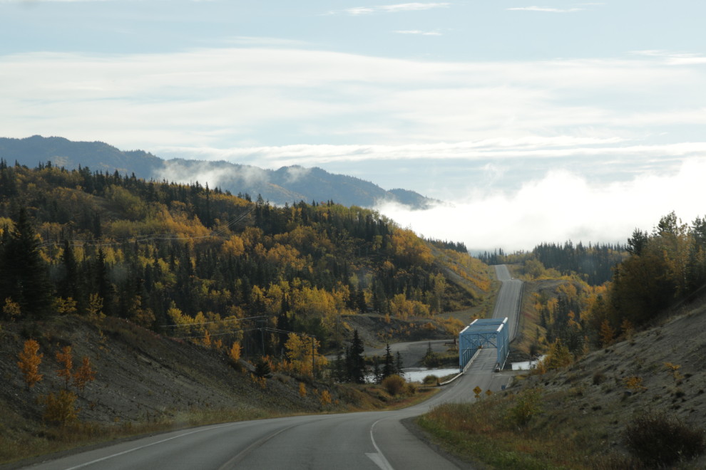
The “blue bridge” was quiet – you would never know that a truck and trailer loaded with cars had gone into the river the previous morning. One person was rescued but one is missing in the river, and the truck and some cars are still in the river 🙁
I shot the next photo at 10:37, just before turning onto the Atlin Road. That fog is from Little Atlin Lake.
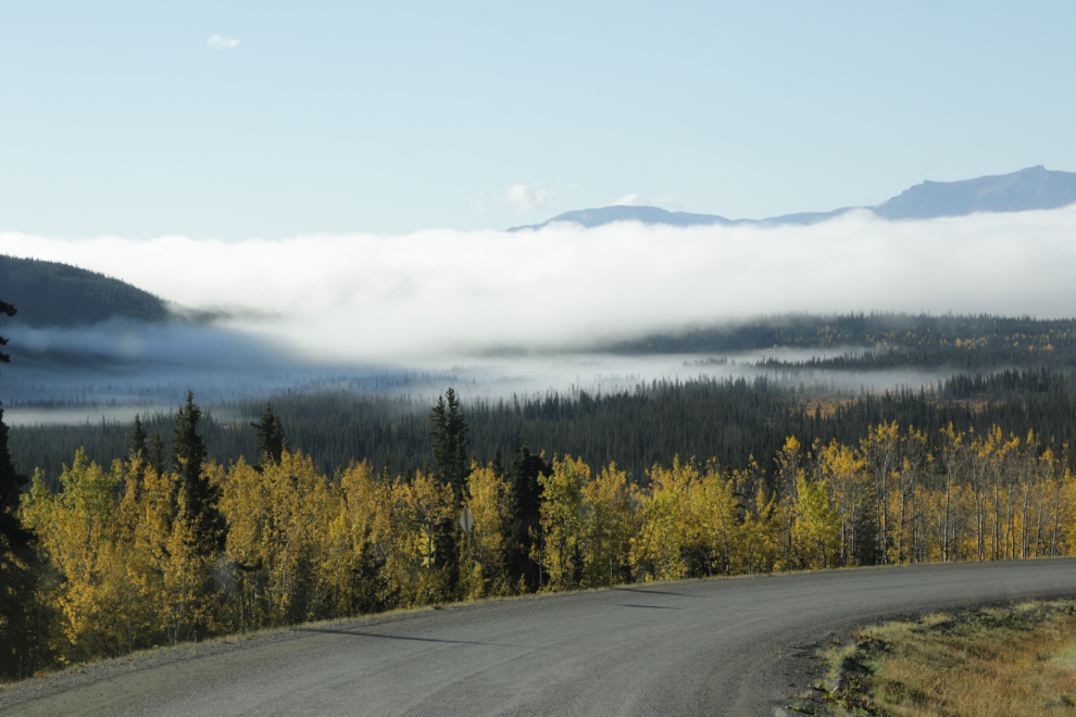
The fog got quite thick in places, but then it was beautiful for many miles. I thought about going to Atlin, disconnecting the Tracker, and coming back to shoot Fall colours in the sunshine, but I was on a mission 🙂
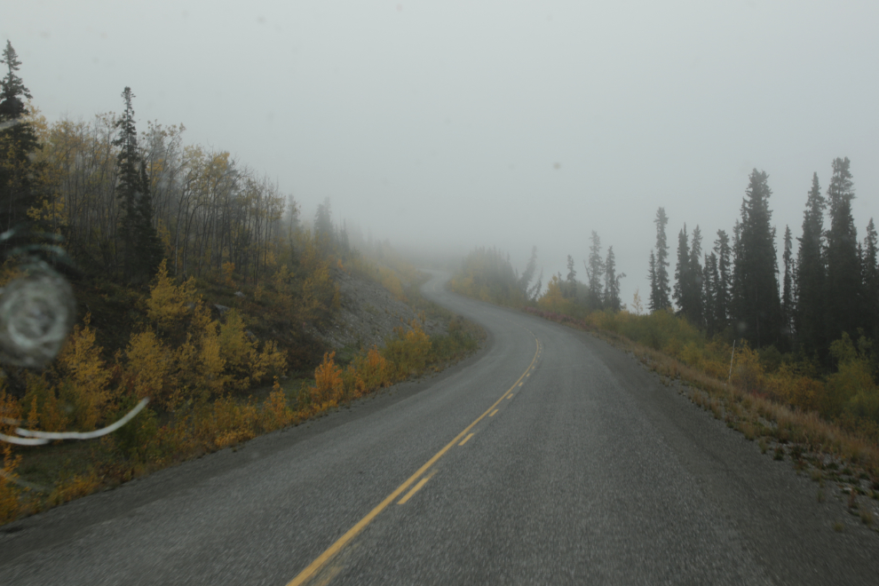
I parked at the cemetery, then the pups and I went to bed for a nap. At noon we got up and went for a walk.
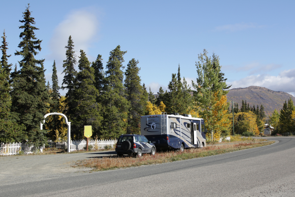
The Atlin Airport (CYSQ) was named for Atlin aviation pioneer Herman Peterson.
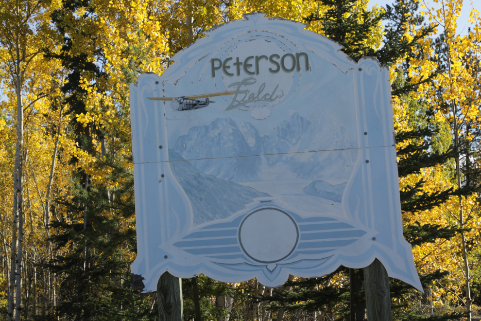
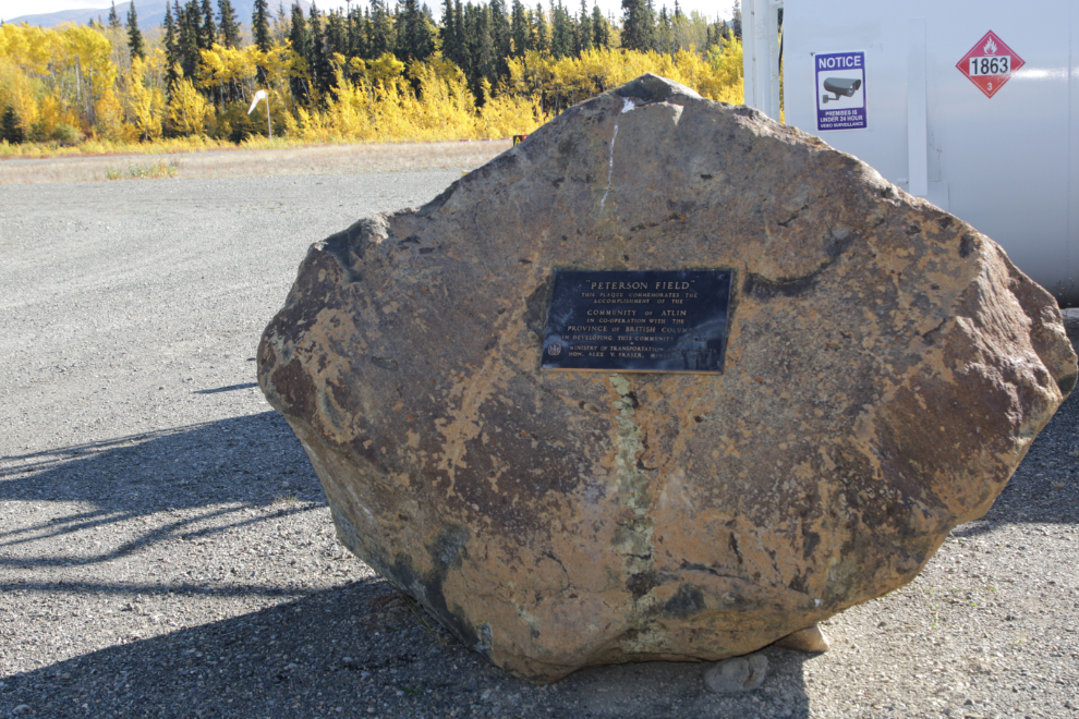
The plaque on the boulder reads: “Peterson Field. This plaque commemorates the accomplishment of the community of Atlin in co-operation with the Province of British Columbia in developing this community airport. Ministry of Transportation and Highways, Hon. Alex V. Fraser, Minister, 1984.” The airport is managed by the non-profit Atlin District Airport Association (ADAA), and although the airport is critical infrastructure in the region, it is funded entirely by user fees and fuel sales.
I love little airports like this, so took Bella and Tucker back to the motorhome and went for a closer look. The next photo looks south on the main runway, 18 – it’s 1,204 meters/ 3,950 feet long and 23 meters/ 75 feet wide.
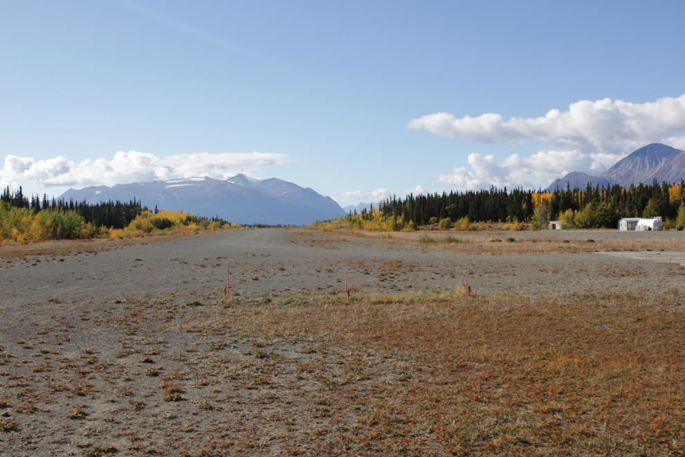
Atlin first shows up in my pilot’s log book on June 18, 1985, and though the fuel pumps and building are different now, it would have looked much like this as I taxied “Whisky Delta Mike” off the runway to fuel up and park for the night.
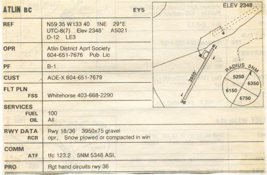
This is the chart I flew in with in 1985 – I scanned it a few years ago. It still shows the old airport from the 1930s that had just been replaced.
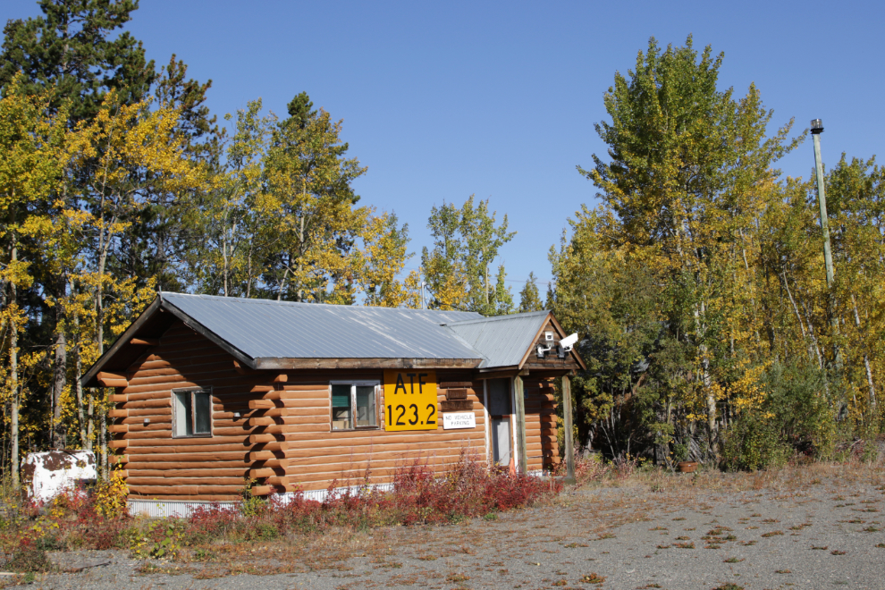
This appears to be the office, not regularly manned. There is no air traffic control – pilots tune their radios to 123.2 and talk to each other. In ’85 we slept in the small log terminal building – well, one of the 3 of us did after that one lit a fire in the wood stove and turned it into a sauna! Two of us set up our tents under the wing 🙂
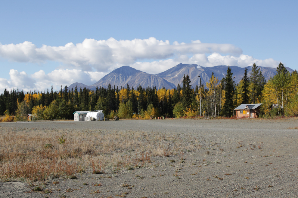
There are a lot of aircraft, both commercial and private, in Atlin now.
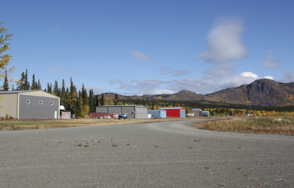
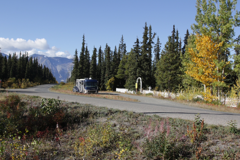
Okay, enough reminiscing – time to get to work! I went back to my portable office and got my gear together.
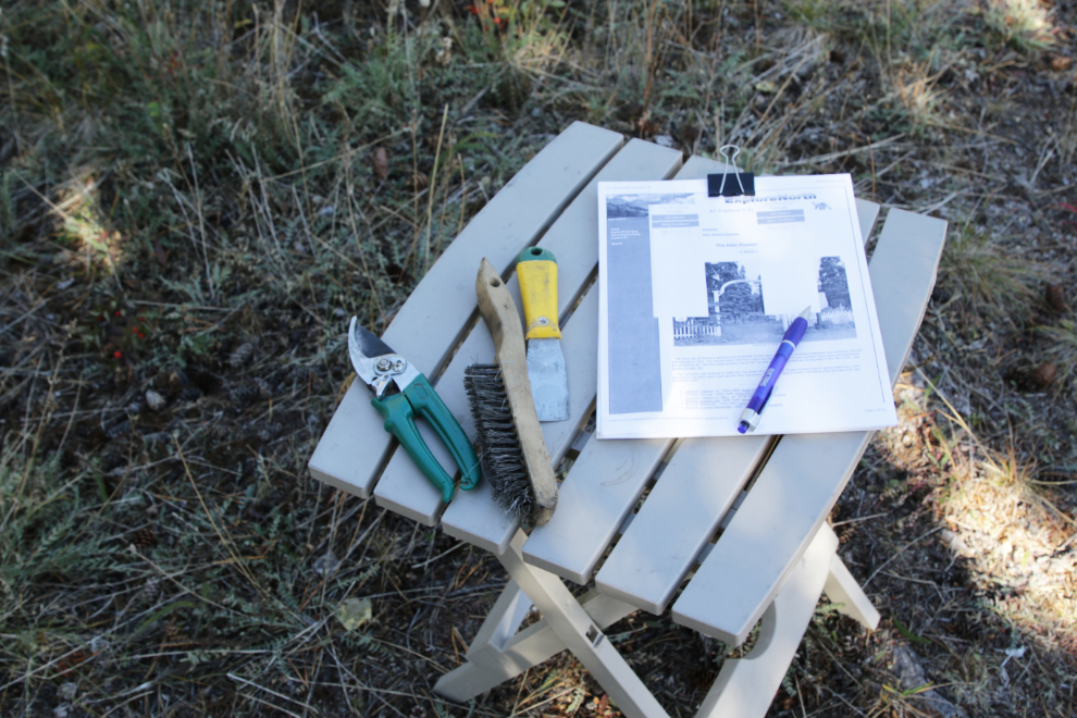
I first set up a work station that I moved around the cemetery as I went through it row by row. The garden shears, scraper, and wire brush were for maintenance when needed to get clear photos. The papers are a printout of my websites, to check off names as I shot them.
Many of the headstones were clean and easy to read.
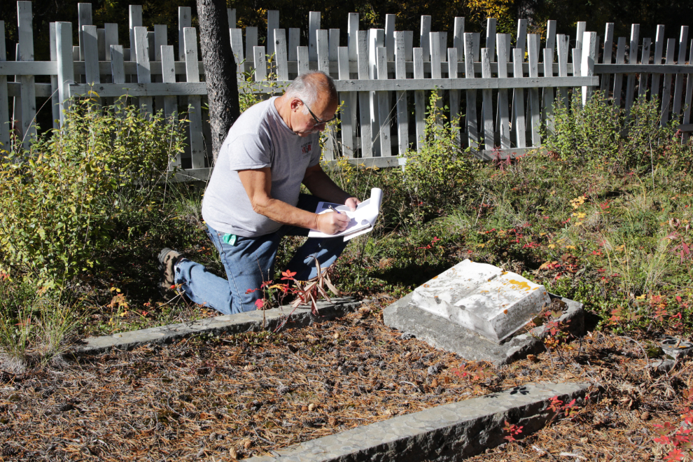
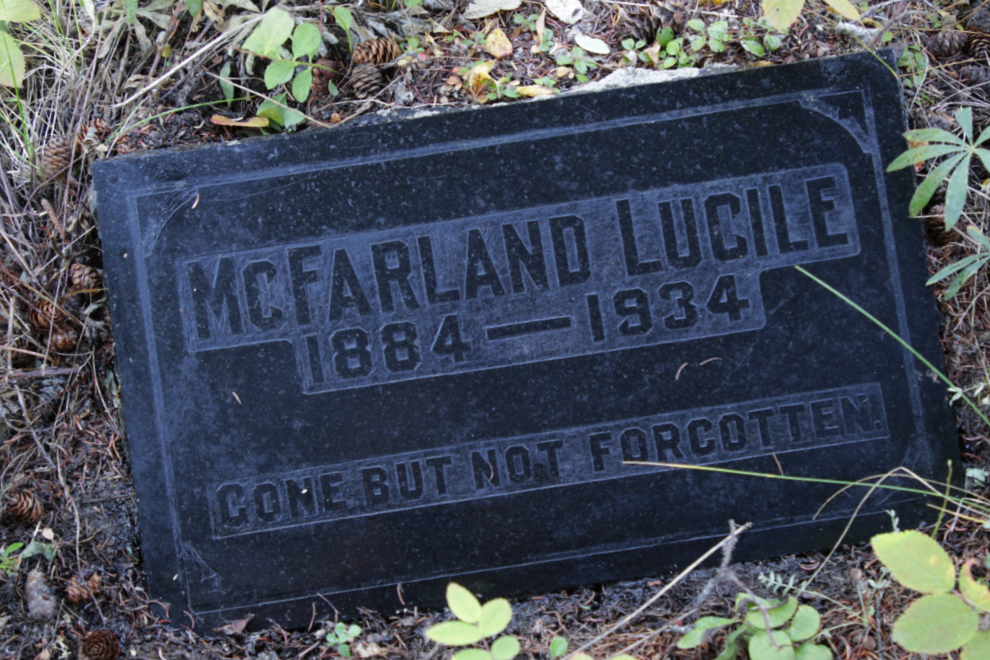
The black marble stone for Lucile B. McFarland, who died in Atlin on June 20, 1934, is sunk into the ground and was almost hidden by various types of vegetation and algae. It took a lot of work including a wash to get it looking like this. I haven’t found much about her yet, but now the statement on the stone is true again: “Gone But Not Forgotten.” That makes me feel really good.
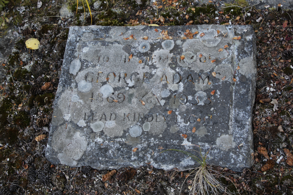
The headstone for George Adams (1869-1938) requires power equipment to clean. He died ten days after he was hit by the extremely powerful stream of water from a hydraulic monitor.
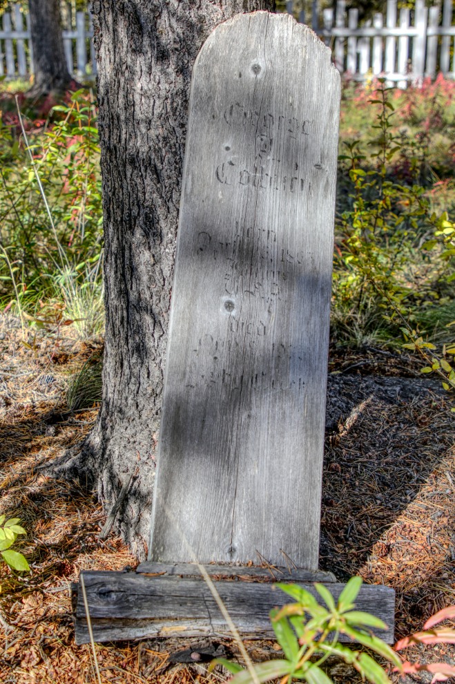
The headboard for George A. Colburn (1865-1939) is barely legible 🙁
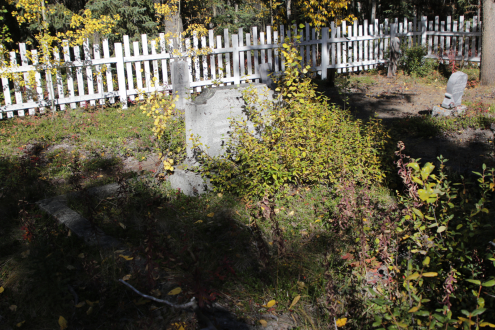
Mother Nature doesn’t care how rich you were, she’s going to try to reclaim your final resting place.
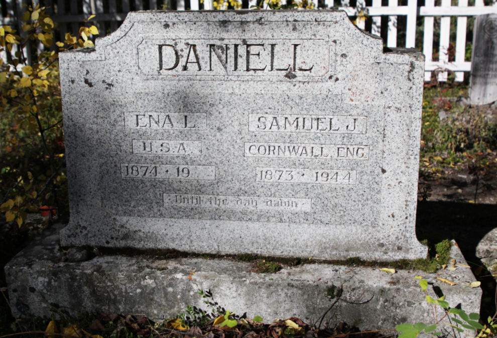
A few minutes with the shears brought the lovely monument seen above back into view. Whoever crafted the double headstone for Samuel J. Daniell thought that his wife was going to stay in Atlin – she didn’t. Although the headstone says her name was “Ena”, all newspaper reports use “Eva.” They owned several of the best residential lots in downtown Atlin but they were sold for unpaid taxes after Ena left.
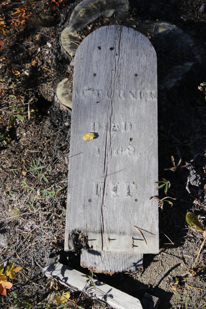
The headboard for Mrs. Turner, who died in 1899, is lying on the ground. On April 29, 1899, The Atlin Claim reported: “Another sad event was the death of Mrs. Turner, wife of Dr. Turner, dentist. The lady was taken sick with pneumonia between Log Cabin and here. She arrived here on the 4th and expired on the 5th. It is said Mrs. Turner was the first white woman to visit Atlin, having come here with her husband last August and staked a claim on Pine near Discovery. Among those who knew her she was very highly respected.”
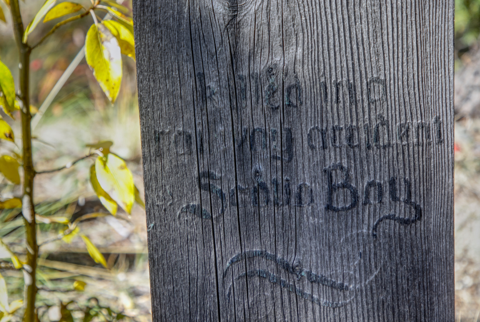
I shot many of the headboards as HDR images to bring out the detail – this section of Peter Peterson’s headboard is a good example.
At 3:50, I finished. I had received an invitation to have dinner with friends, so had another nap and fed the pups before heading out for an excellent evening.
I spent the night parked at the cemetery, then made a brief tour of it again the next morning to try to get an idea how of many unmarked and/or illegible graves there are – I estimate over 50.
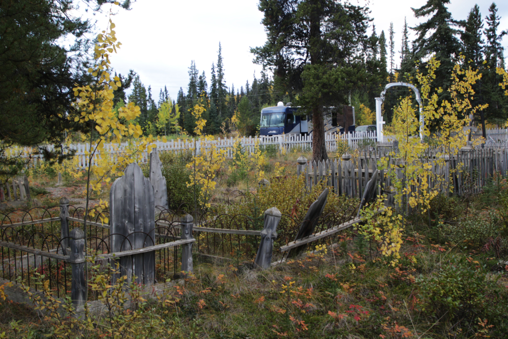
I got to the new cemetery at 09:00 and was soon back at work, but with relatively little maintenance to do there.
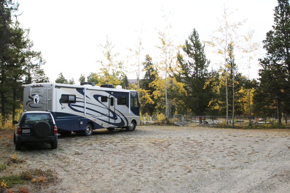
This general view looks back from the southeast corner of the cemetery.
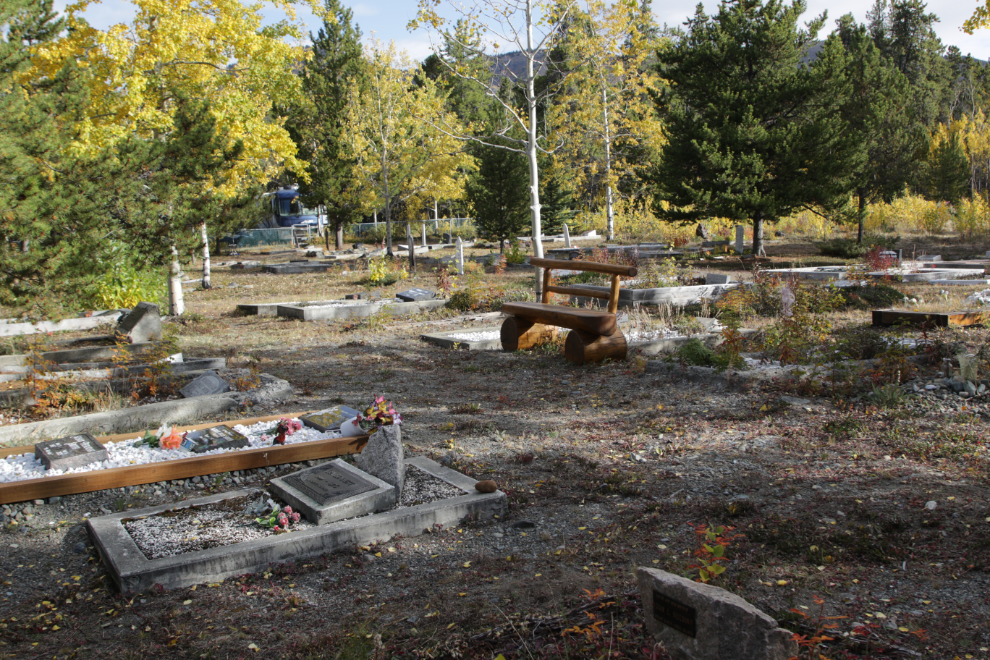
Even here, there are headboards that are illegible. I’m hoping that the 130 photos that Carolyn Moore shot in 2011 (posted at CanadaGenWeb’s Cemetery Project) may show the lettering on at least some of them.
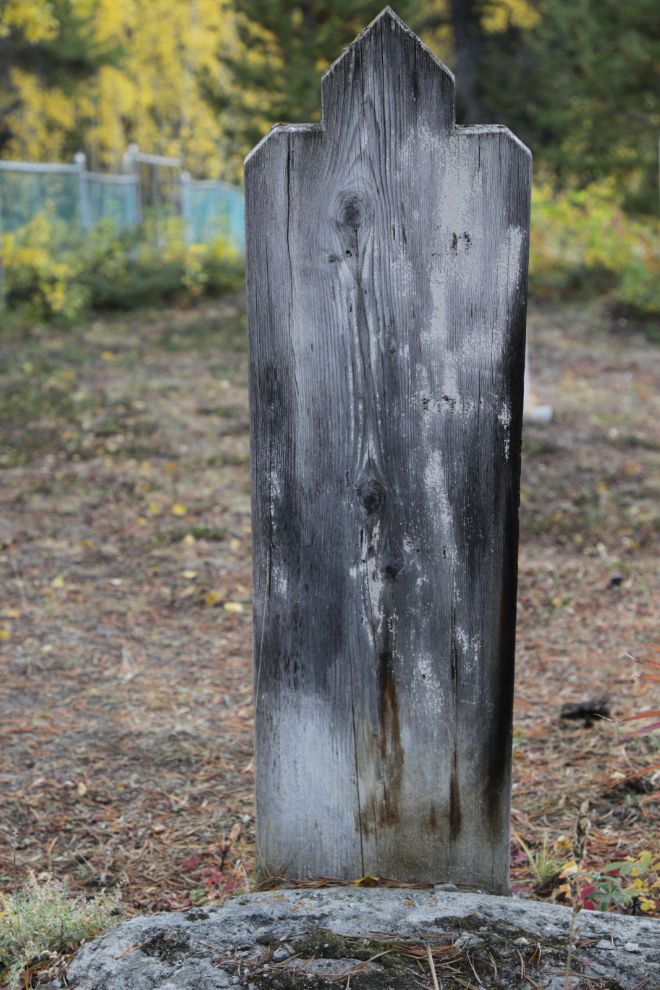
There is a much higher percentage of stone monuments in this cemetery.
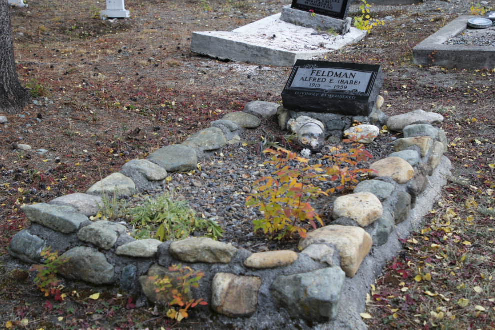
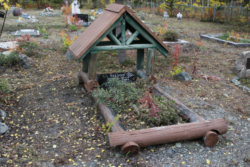
YOOP (Yukon Order of Pioneers) member William Hugh Nelson’s log-chalet monument is wonderful.
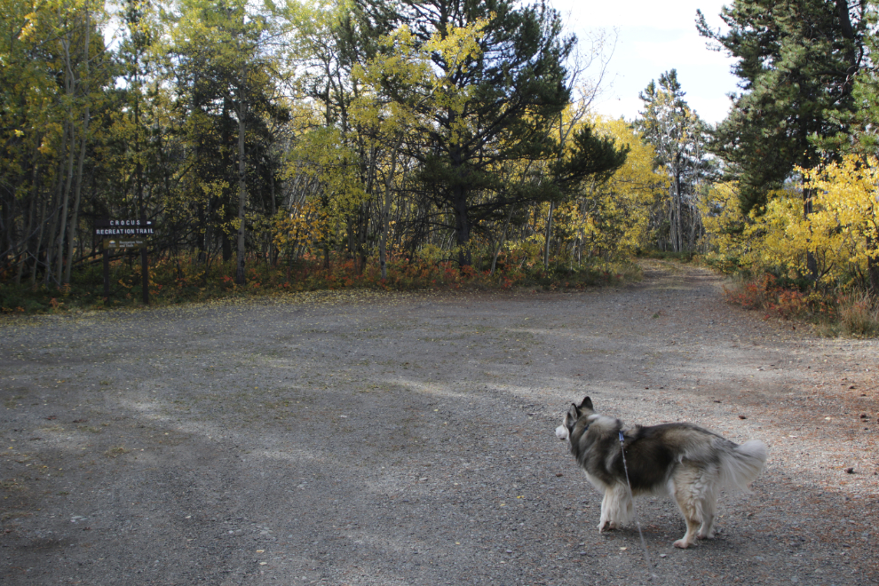
It took exactly 2 hours to complete this cemetery, then it was time to take my very patient dogs for a long walk on the adjacent Crocus Trail.
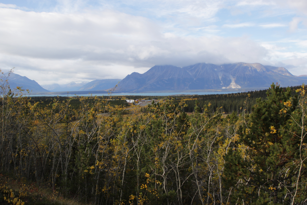
I hadn’t expected views lke this from the trail – wow!
Most of the trail, which feels like it was originally for wood-cutting, is through lovely forest.
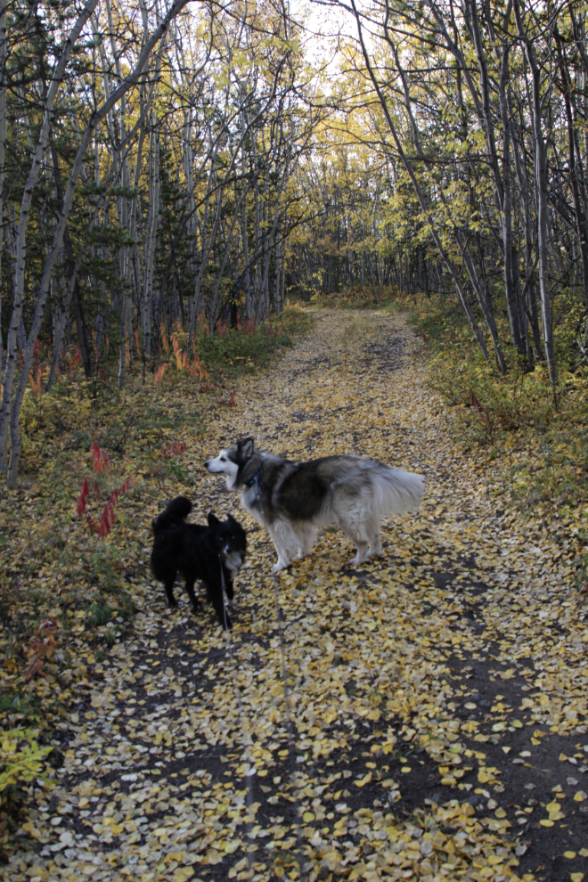
This walk was an excellent idea, and all 3 of us were really enjoying it. Bella had been quite lethargic, but this snapped her out of it.
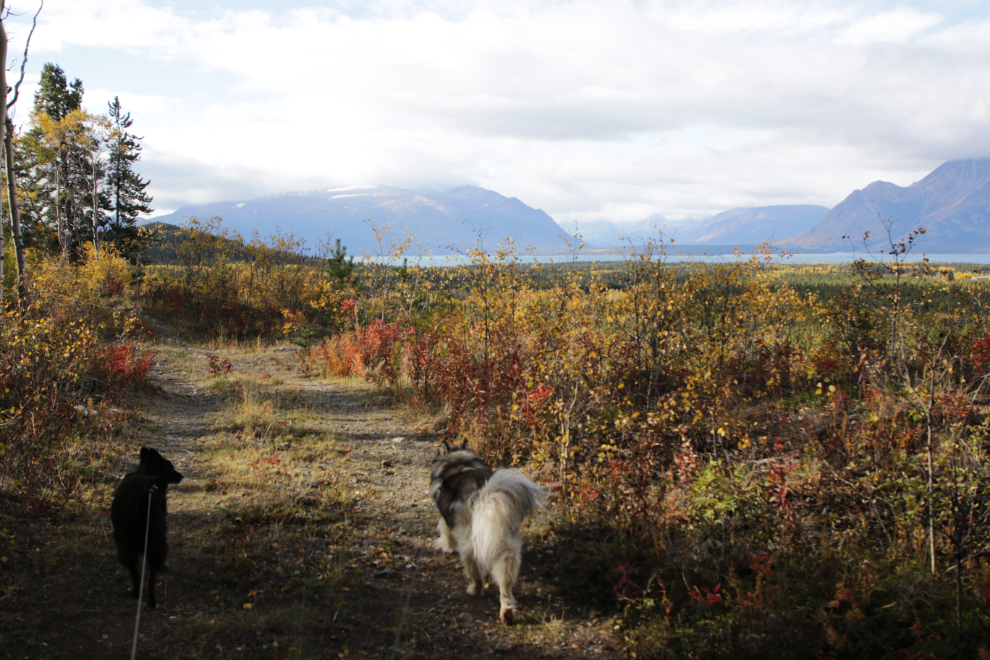
Tina, my hostess the previous evening, had reminded me about a pet cemetery out this way, and suddenly here it was.
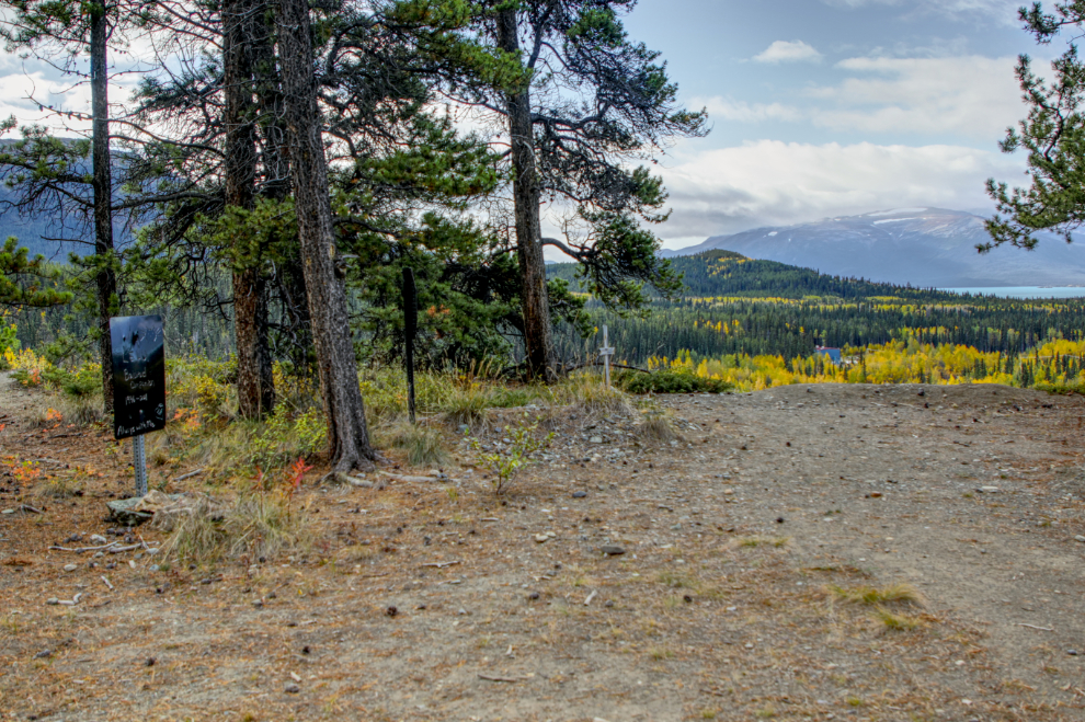
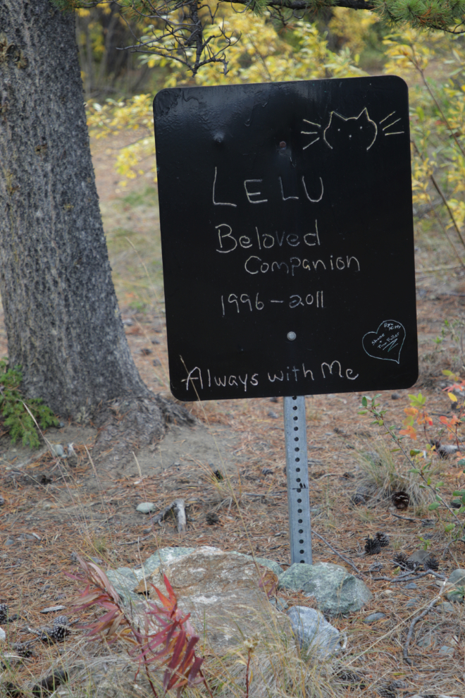
Tina’s cat Lelu is remembered here…
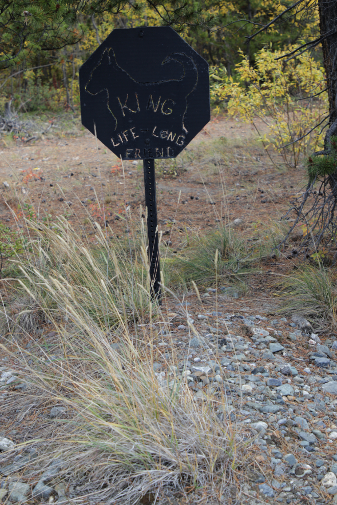
… as is “life long friend” King, and several other pets.
The monument for Missy, “the small dog with the big heart” is a bench where you can sit and contemplate this amazing place.
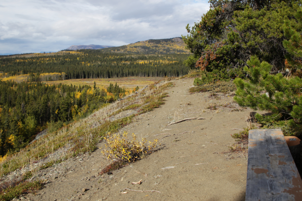
A small trail from the pet cemetery follows along the ridge overlooking Pine Creek, but this is as far as we went before going back to the main road/trail.
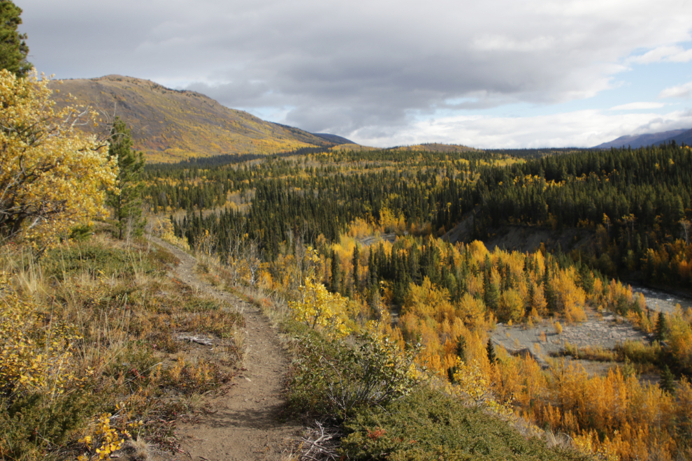
The walk came to an unfortunate end when activity began at the nearby gun range. Bella is terrified of gunshots. I turned back immediately, but she was wrecked – she walked tucked up beside me for a long way. Back at the motorhome, we went to bed for another long nap, hoping that would help her.
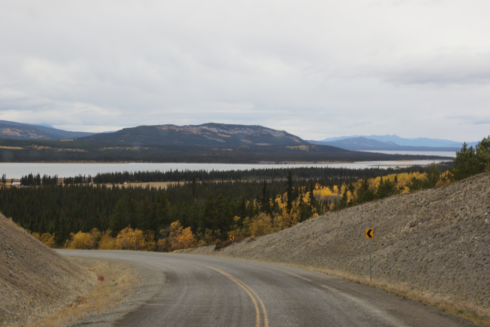
For a bunch of reasons, at about 2:30 as I was driving to the spot where I could turn right to continue on our Adventure, or left to go home, I decided to turn left.
The Atlin Road is scenic both northbound and southbound 🙂
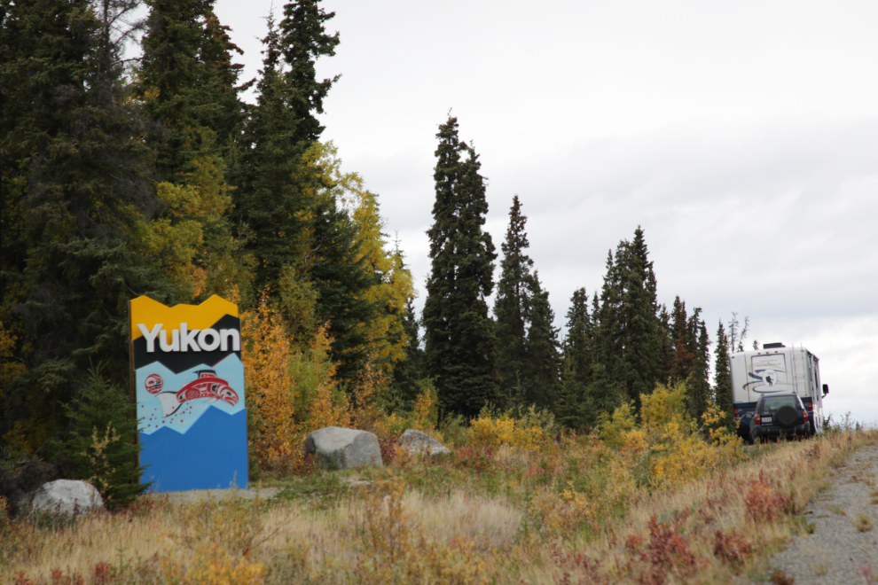
Just an identifier that you’re entering “Yukon,” not “Welcome to the Yukon.” I love the unique art on each sign, I do not like the overall sign or its message (or lack thereof).
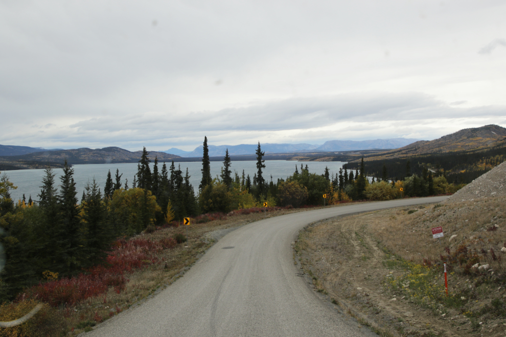
One final scenery shot, looking over Little Atlin Lake.
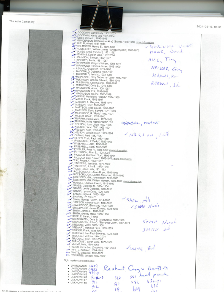
Back at home, the real work began. This is one of the 5 pages I was checking off names on, and adding names not on my lists. On the world’s largest cemetery database, FindAGrave, the two Atlin cemeteries have errors and are missing many photos – hopefully I can rectify both issues now, as well as completing my own sites.
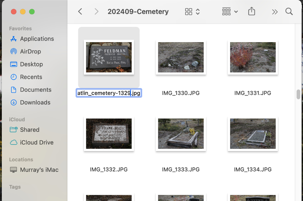
After editing I have 533 photos from this outing – 255 from the Pioneer Cemetery, 225 from the new cemetery, and 53 of other subjects. The first step is to rename them – that will take a couple of days probably.
Updating FindAGrave and my own sites will be done over the winter bit by bit – by the time it’s completed I’ll have approximately 150 hours into it. And in my spare time… 🙂

Murray, to see what the webcam at the airport sees,
Airport Webcam https://www.metcam.navcanada.ca/hb/player.jsp?id=92&cam=204&lang=e
I do imagine you already know that. Carolyn
Thanks, Carolyn. I have all the airport webcams as Favourites and use them regularly 🙂
Murray, I am sitting here with Diana French. We are trying to remember the surname of the black man who whose grave is in the Pioneer Cemetery. His grave marker referred to him as “an African”. Do you know his name?
That was John Elmwood Simons, who froze to death in 1914.