A Whitehorse photography outing at -41 degrees
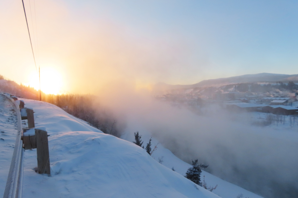
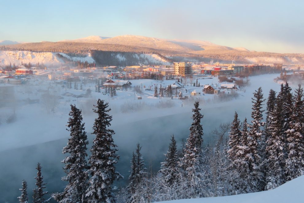
This post is about a 3-hour wander on Thursday, December 11th, but there was a build-up to it. Two days before that, I had driven into Whitehorse to see if there were any good ice fog photos available yet, with the temperature at -28°C/-18°F. I shot the two photos below from my favourite spot on Wickstrom Road, overlooking the Yukon River and downtown Whitehorse, but it wasn’t cold enough to really get into it.
The first photo looks up the Yukon River, over the heart of downtown.
The next one looks down the river, over Shipyards Park.
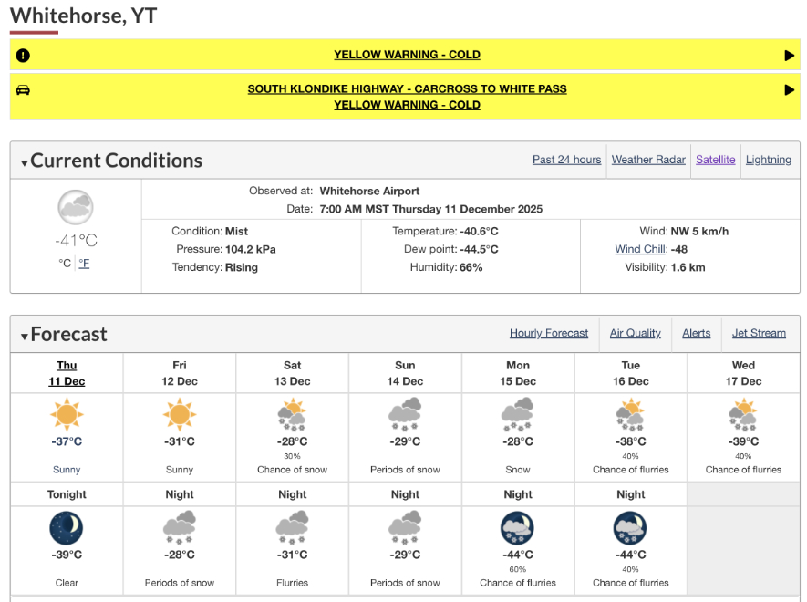
The 7:00 a.m. weather report showed the day I was looking for – minus 41 and mist, with “Sunny” indicating clear skies above the mist. That should be perfect.
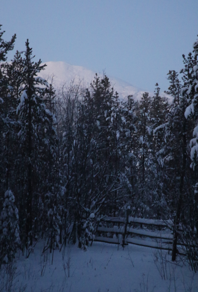
At 10:28 on the 11th I posted the next photo on Facebook with the comment “The view from our deck. The sun will be coming up at 10:59 and will set at 16:47. It’s currently -41C both here and in town. I’m heading out with my cameras now for a while…”
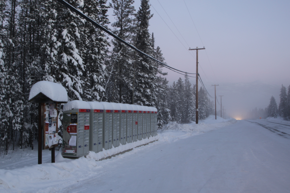
The next photo – the first photo I shot “on the road” – shows the community mailboxes where we pick up our mail.
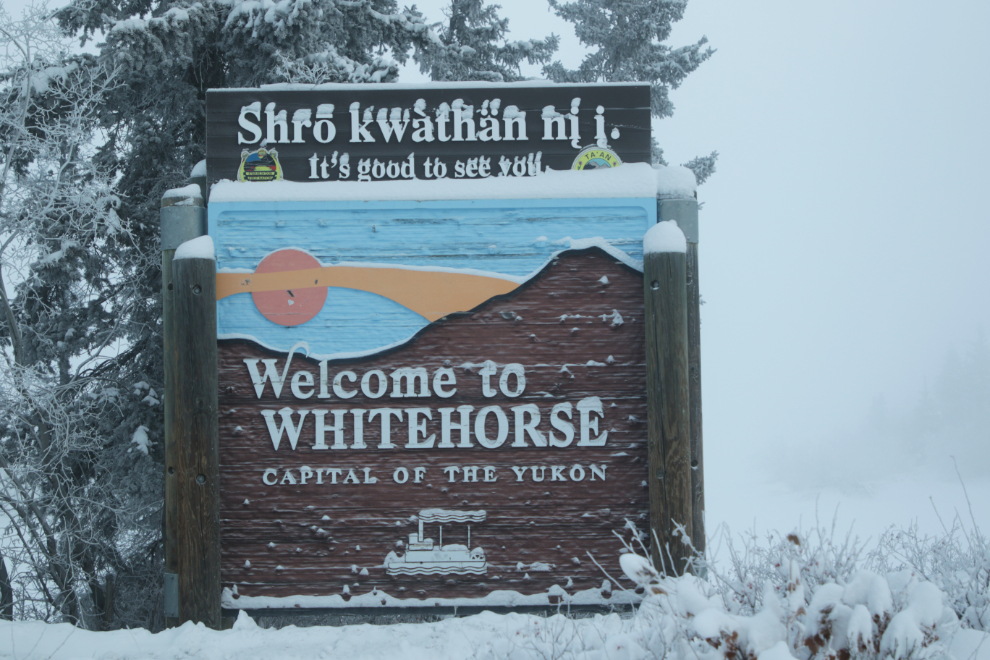
“Welcome to Whitehorse” – at a spot that usually has a nice view of the Yukon River.
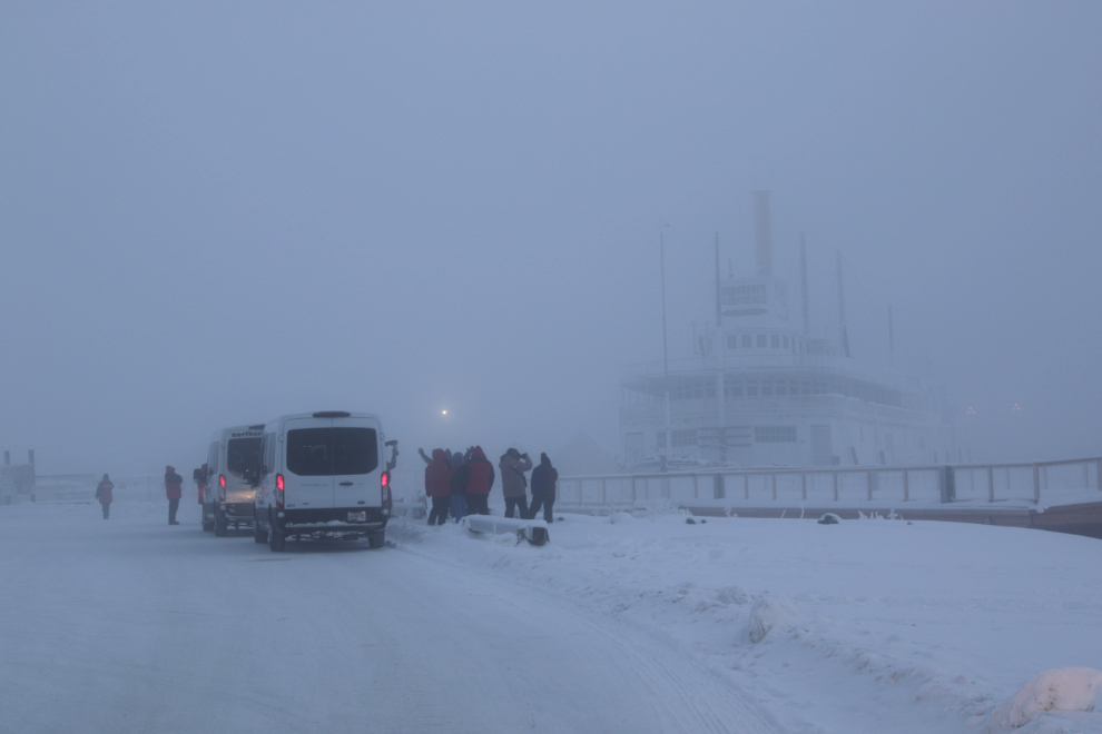
The S.S. Klondike was an amusing stop. These folks were getting a real Yukon Winter Experience! 🙂
From there I went back up Wickstrom Road but that viewpoint was, not surprisingly, buried in fog. I kept going, though – Wickstrom turns into Long Lake Road…
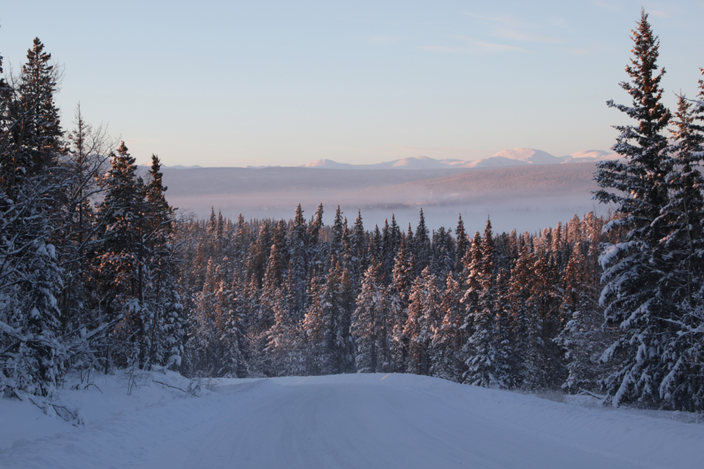
This view over Long Lake was the highlight of my day. I shot the same photo with my phone and posted on Facebook from there: “No, I am never leaving the Yukon <3 “
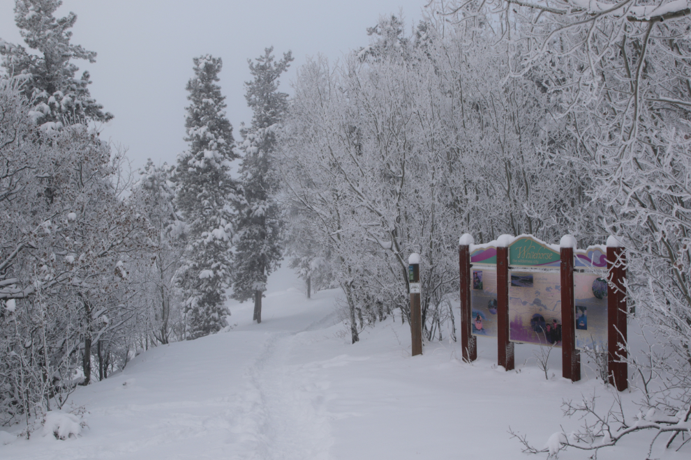
From there I backtracked then drove up Grey Mountain Road, though didn’t expect to reach any good viewpoints as they’re well past the point where the road is maintained. The area around the Magnusson Trailhead has been getting a fair bit of use recently.
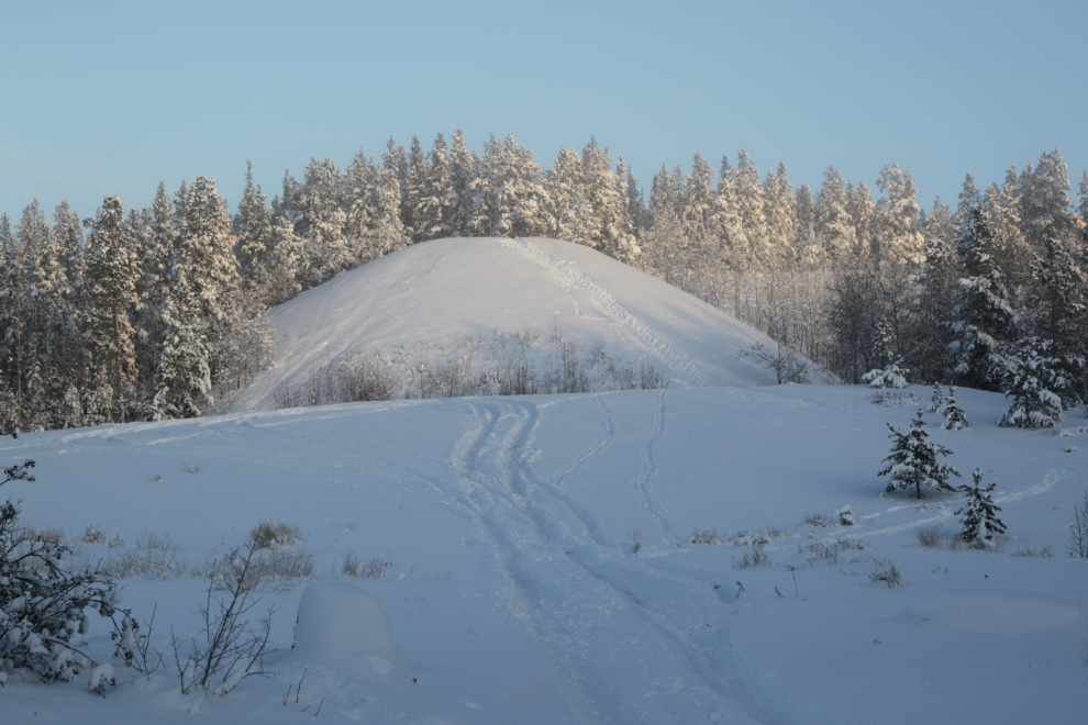
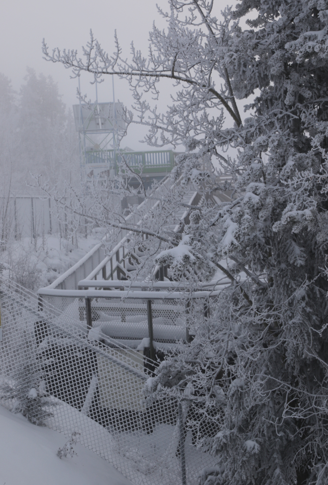
There were no good views up there, but I saw that there’s a large new building going up at the biathlon course, so the drive was worthwhile. There were some decent views showing the ice fog below going back down the road.
The higher part of the valley fog is from the power generation site where all the diesel and LNG generators are running as hard as they can. Yukon Energy is posting constantly that people need to cut back on electricity consumption because they can’t keep up inn the deep cold. The new Whistle Bend community, which I expect is almost 100% heated by electricity because installation is cheap, has had at least one 2-hour outage already when the system shut down due to over-demand.
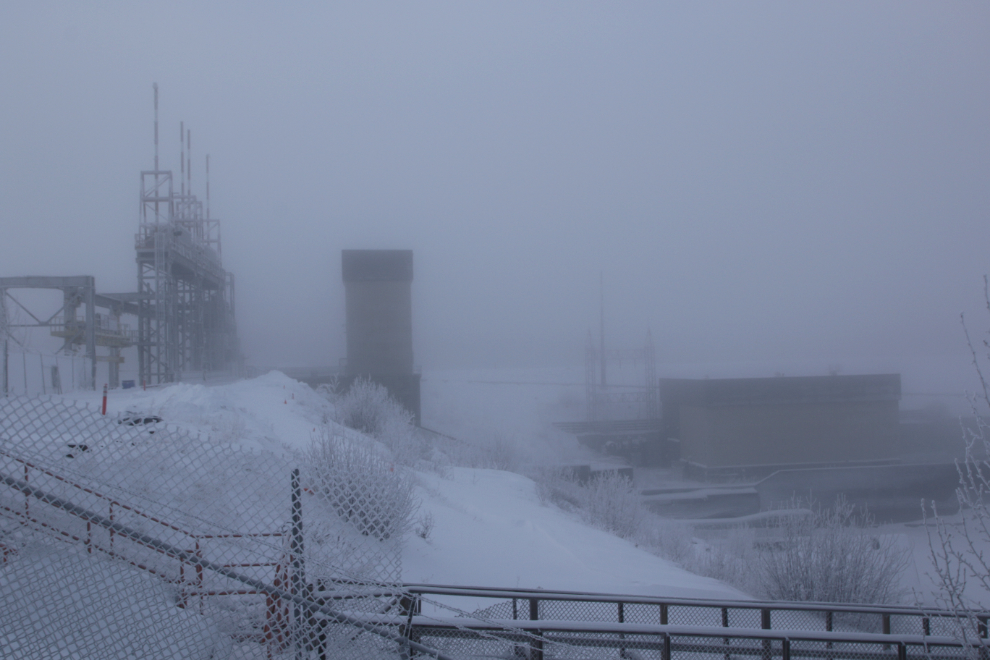
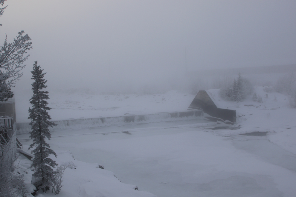
The next stop was the power dam, just to see if any photo ops presented themselves. It was very quiet…
The Millenium Trail has been getting a fair bit of use recently.
The “world’s longest wooden fish ladder” provided an interesting design – much more so than in the summer.
In the summer, about half the Yukon River flows over this weir, which directs fish to the entrance to the fish ladder. There’s not much water flowing now, and what is flowing is being directed through the turbines on the other channel.
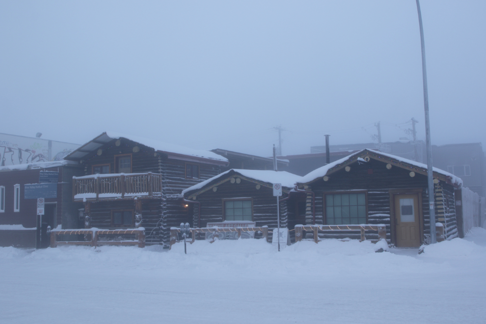
I went to the Visitor Information Centre but wasn’t inspired. I love the rebuilt log cabin complex across the street, though.
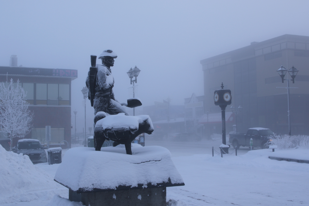
I parked on Main Street and went for a wander. The Prospector and his husky are always good for a photo or three. 🙂
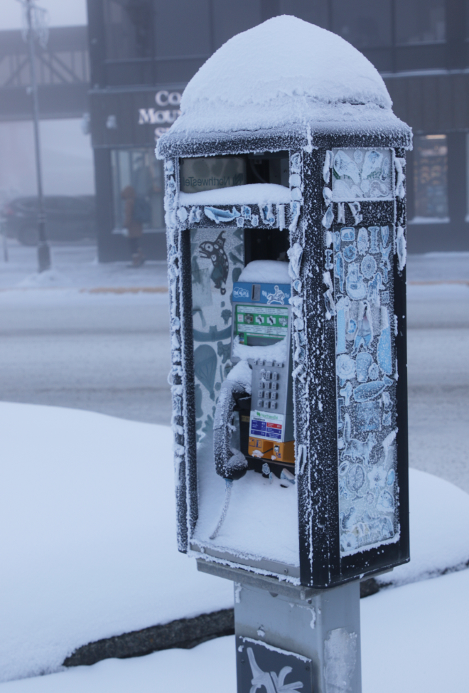
There can’t be many of these antiques still standing. I wonder how much use they get.
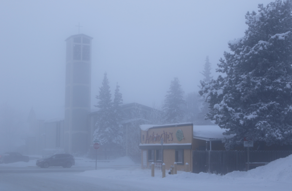
Looking down Steele Street to the Catholic church and Antoinette’s restaurant at 4th Avenue.
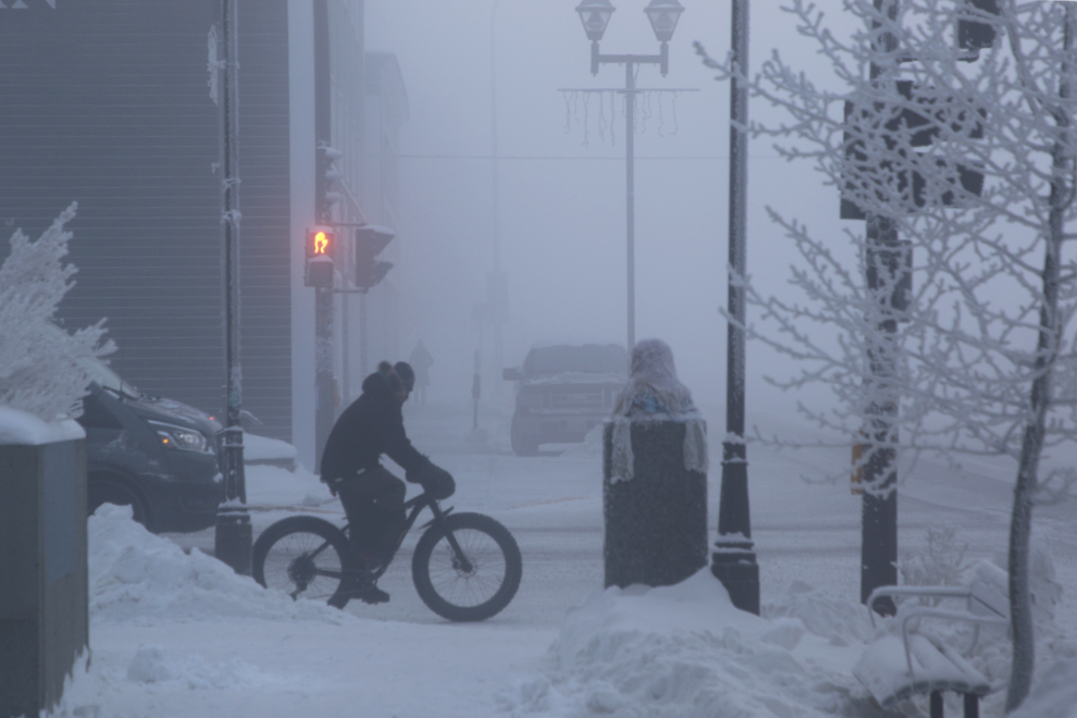
“Yes it’s -41C and the ice fog is thick, but those aren’t good reasons to not ride my fatbike” 😀
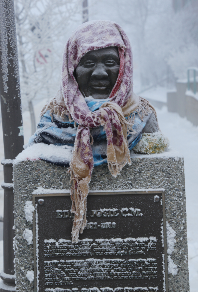
The most-loved of the statues around town is this one honouring Edith Josie of Old Crow. “Miss Josie” is most famous for her long-running column of news from the community, published in The Whitehorse Star. It eventually was titled “Here Are the News.” I posted this photo on my “Yukon History and Abandoned Places” group Thursday night, and so far it has 6,400 views, 502 likes included 166 hearts, and 35 comments. Getting a 100%-positive reaction like that says a lot about a community.
As I was about to get back into the Jeep, I decided that I liked that composition.
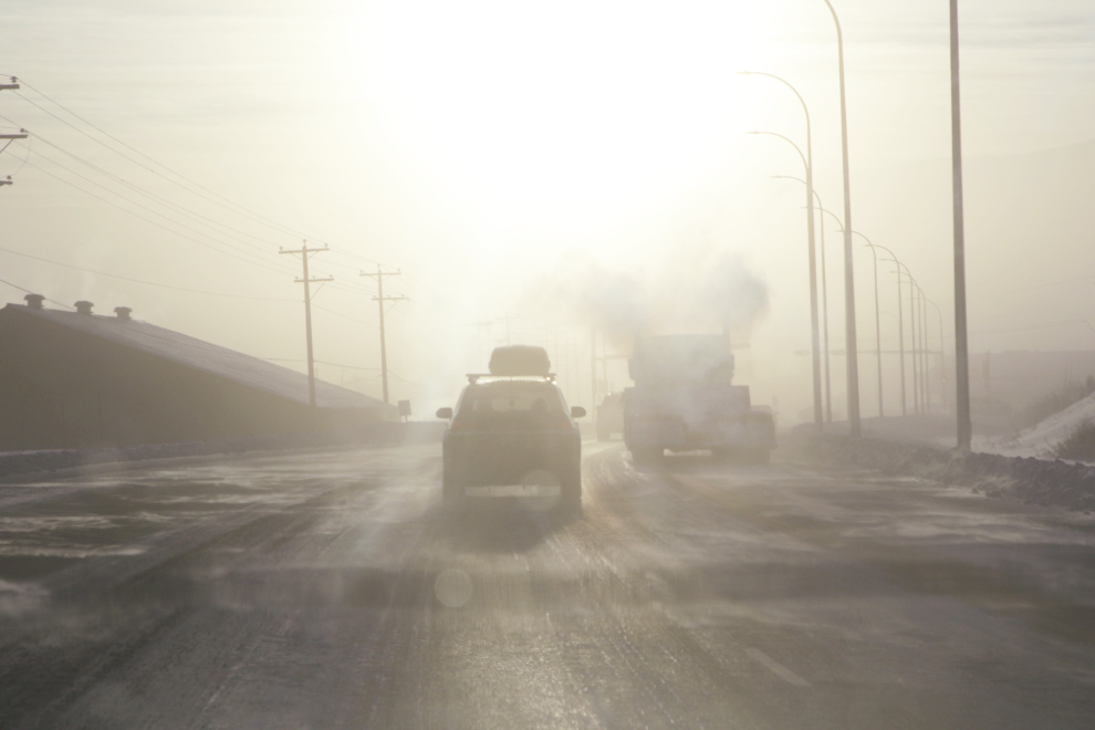
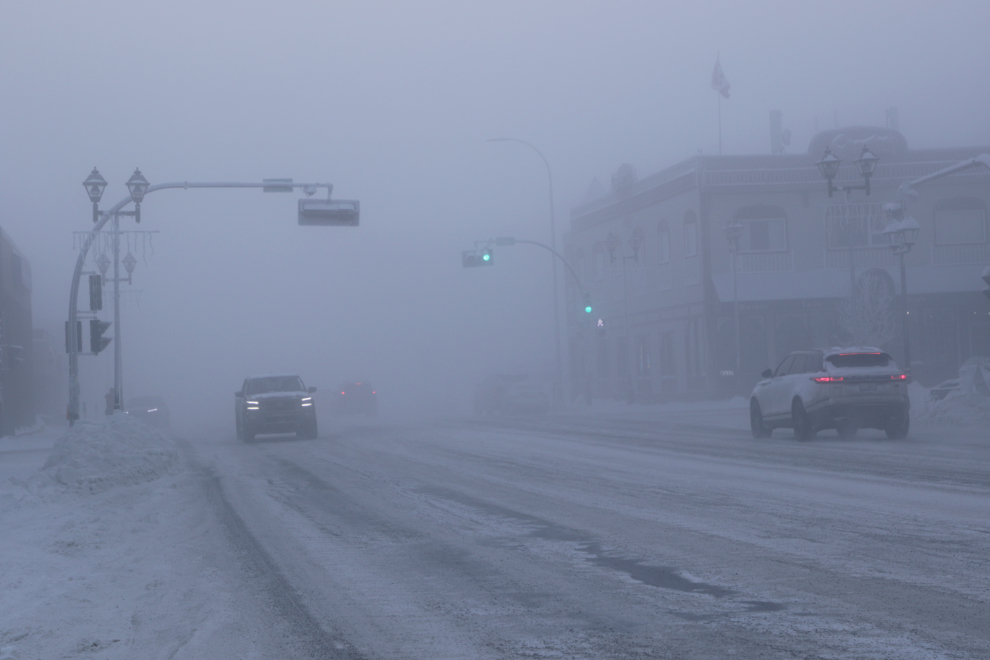
I drove over to 2nd Avenue, the busiest through-traffic street, and parked again, looking for traffic photos. The first scene I saw, though, was this one, with “Klondike” and “Sternwheeler” nicely placed.
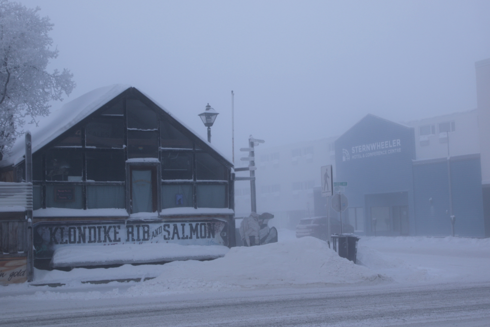
There wasn’t enough traffic to get the photos I wanted. I’ll have to try again at “rush hour” in a few days when the forecast is calling for -44.
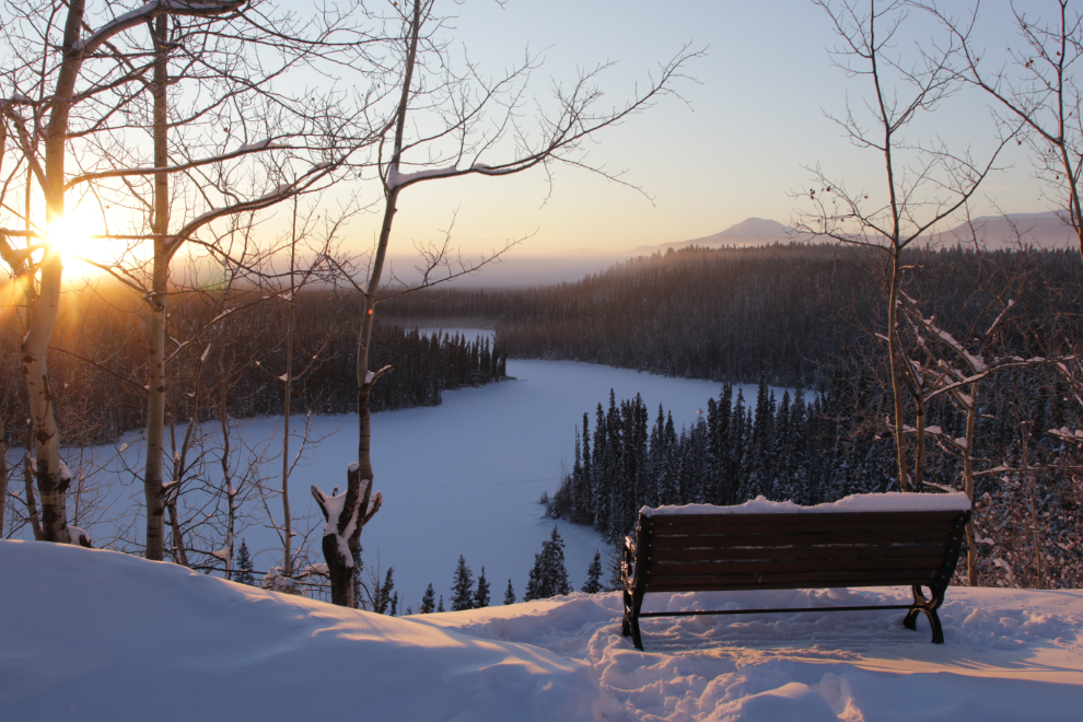
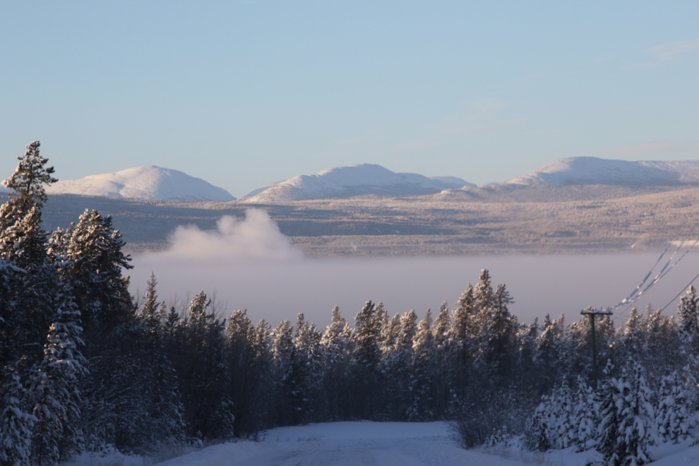
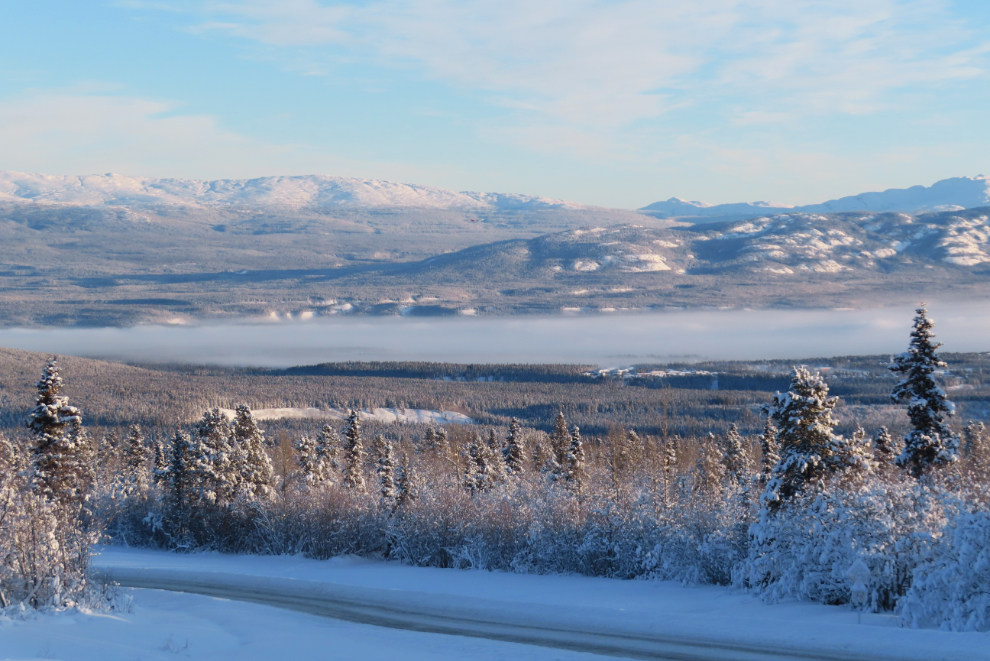
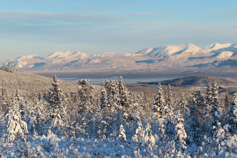
I was now craving some of the sunshine that I knew was just up the hill, so drove up to the Alaska Highway and then west to the Fish Lake Road.
I thought I might go right to Fish Lake, but only got as far as the parking lot where a lot of aurora borealis viewing is done. I shot the two photos there, looking across the ice-fog-filled valley.
That turned out to be the end of my photography outing, though – I remembered that I had some groceries to get, and while I was back downtown doing that, Cathy called and said she just got notified that a package had just been delivered to our box, and it had some liquids in it, so I had so get home and pick it up before it froze.
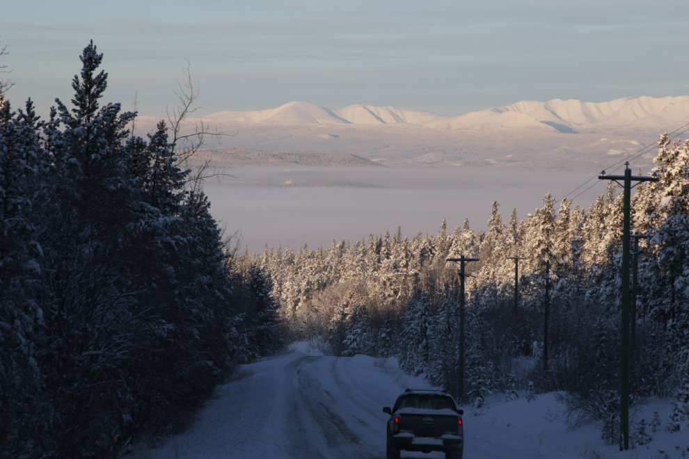
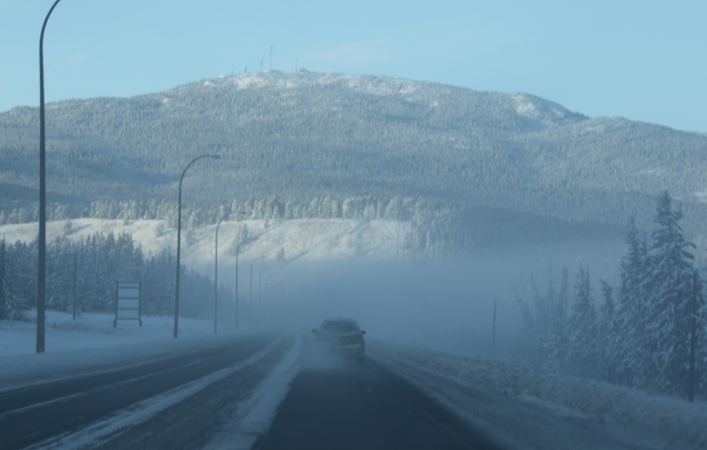
On the way home, though, I got one more photo on the Alaska Highway.