A spectacular day cruising Glacier Bay
When we left Whitehorse, the weather forecasts for our entire cruise were calling for clods and showers or just plain rain, so I didn’t have high hopes for this day. But instead we got the most perfect weather I’ve ever had at Glacier Bay, and as a result there are 74 photos in this post.
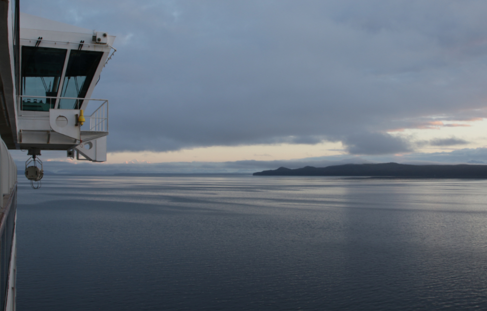
When I shot the first two photos from our balcony at 04:22, the sun was just coming over the peaks along Icy Strait, and despite a mostly-cloudy sky, the day looked like it had potential.
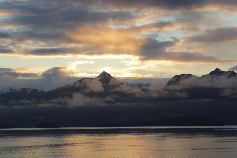
A lovely calm morning on Icy Strait.
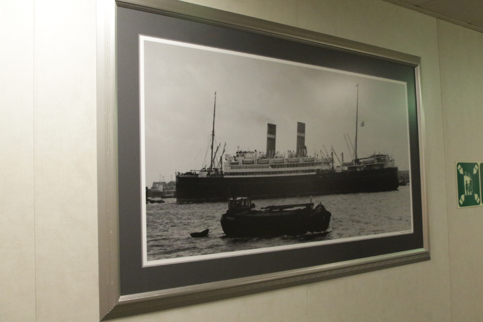
I got dressed and headed up. The passenger-deck hallways are lined with hundreds of historical photos.
Yes, it was Friday – June 7th. 🙂
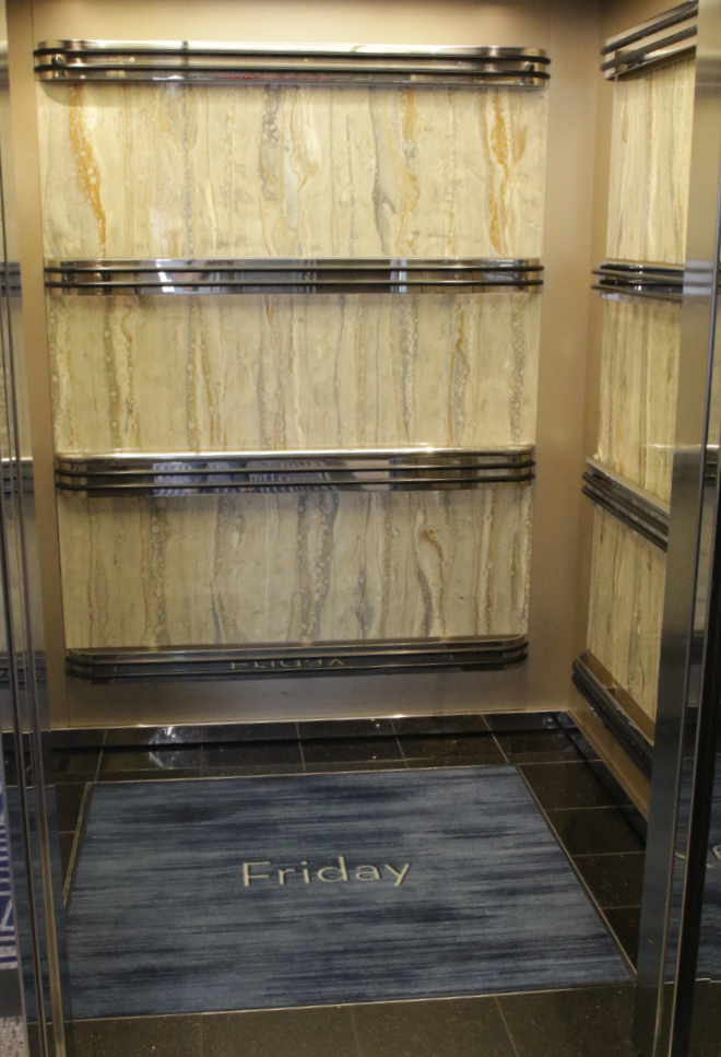
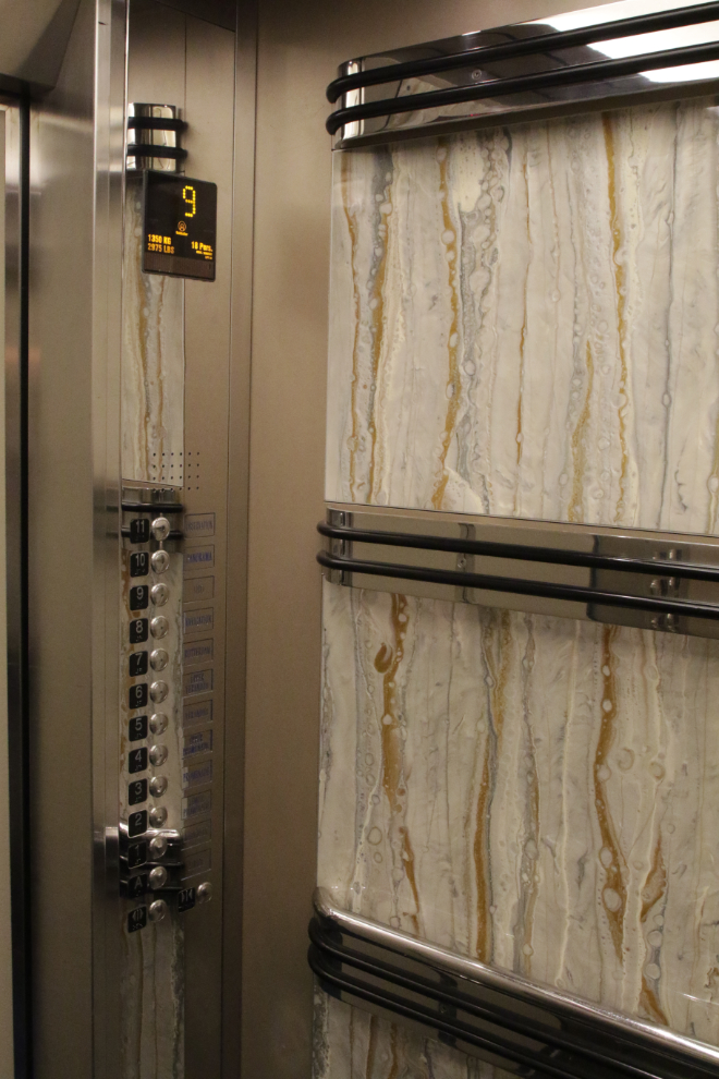
Cathy and I commented a few times about how beautiful the elevators were. Every space is important for a good experience.
I explored a bit then settled in with a coffee at the Lido Market (the buffet dining area) on Deck 9. I posted the next photo on Facebook with the comment “05:28 – my morning coffee spot. Beautiful and peaceful.”
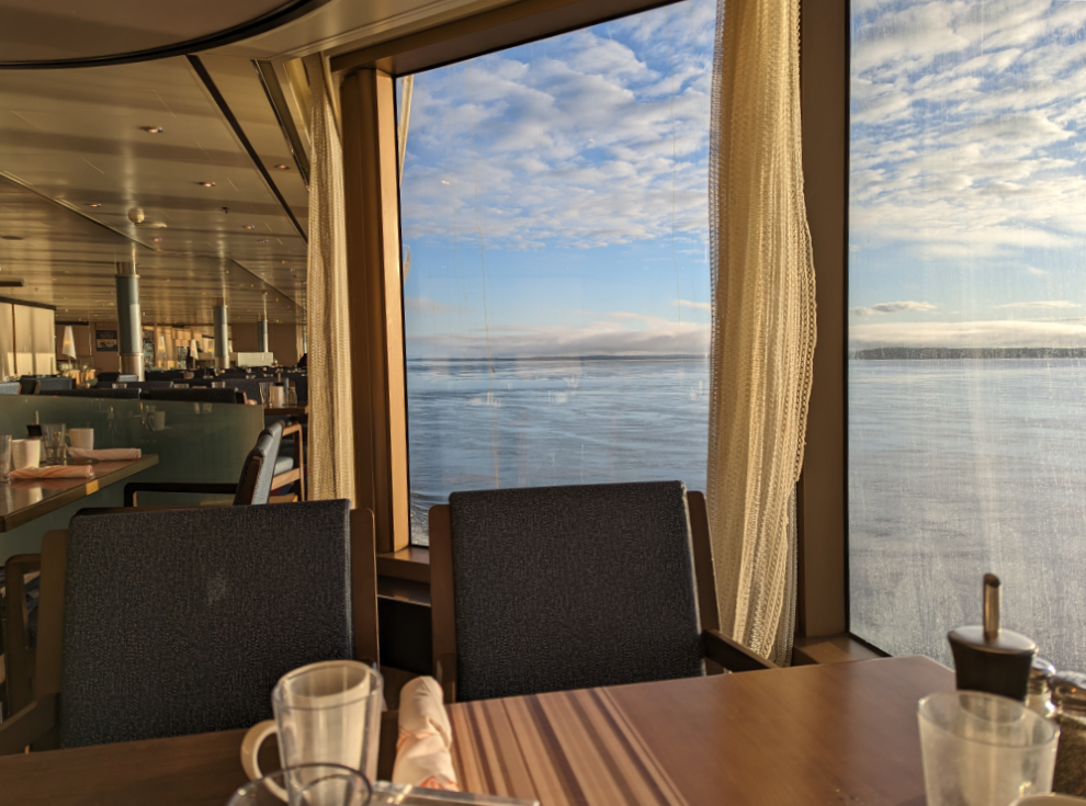
A quiet, seemingly-empty ship as the sun is coming up is a wonderful place. I hugely enjoyed these times.
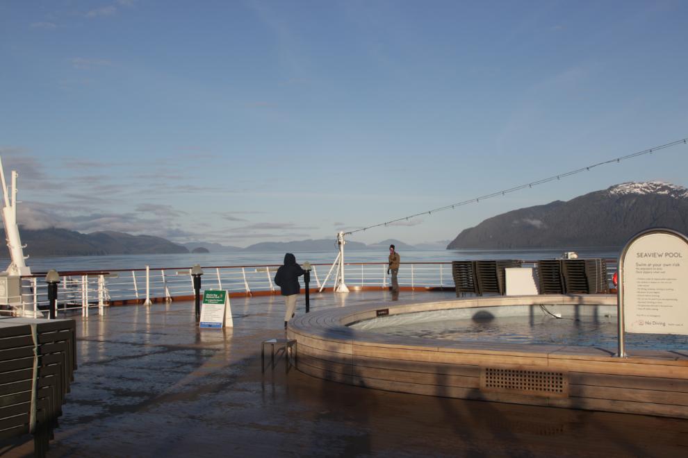
One other person was on deck recording the moment.
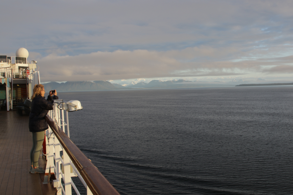
The view aft shows how fast the skies were clearing.
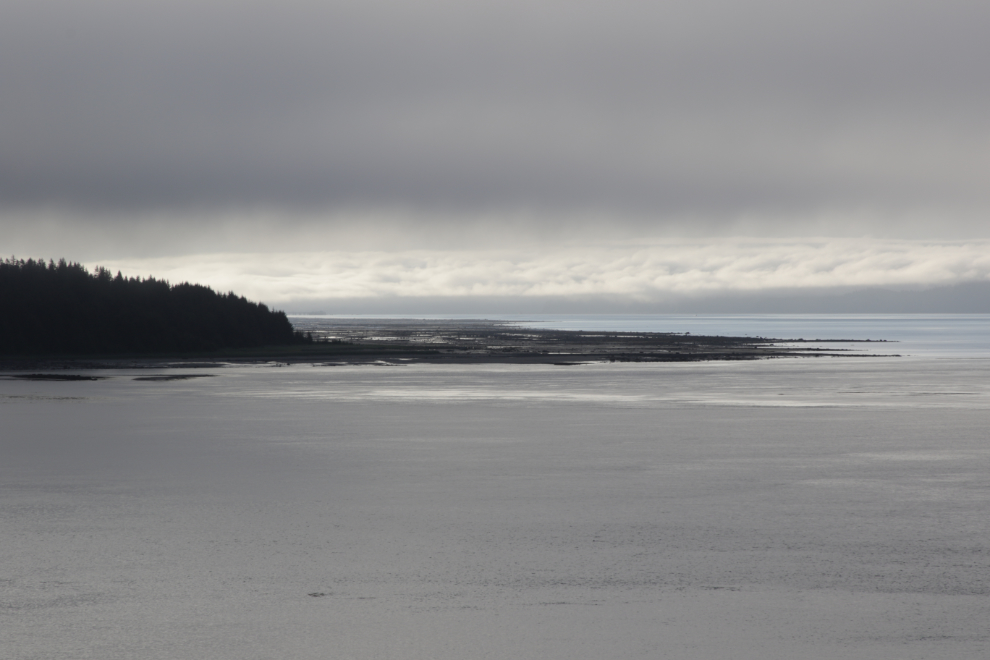
I was hoping to see a brown bear foraging on that large low-tide beach, but no luck.
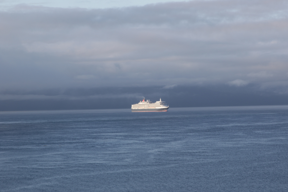
MS Queen Elizabeth, a particularly fine 2,092-passenger ship operated by Cunard, was behind us.
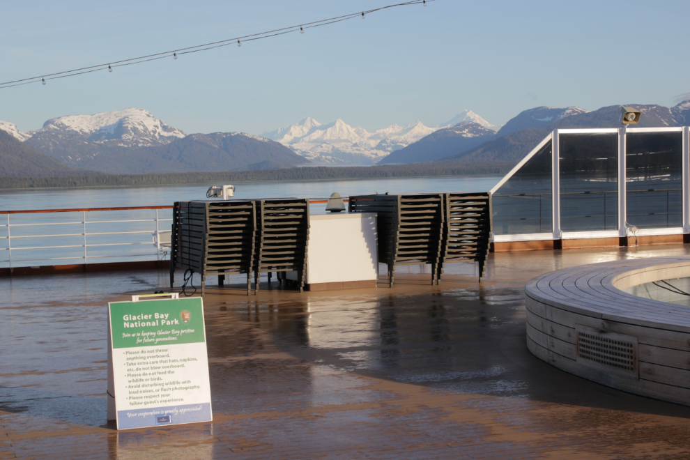
Glacier Bay is a very special part of the Alaska cruises that include it – it’s intended to be an educational day. Introductory signs were up on deck asking people to be particularly respectful of the sea, the creatures that live here, and the experiences of other passengers.
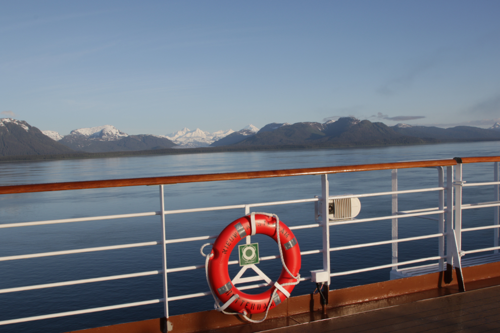
A photo cliche – a life-ring 🙂
Facebook, 05:57: “The Park rangers are just arriving to spend the day talking to us as we explore some of Glacier Bay. Seeing lots of sea otters the past half-hour 🙂 “
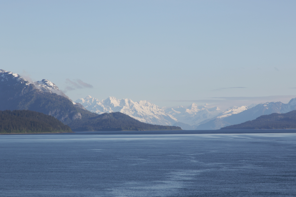
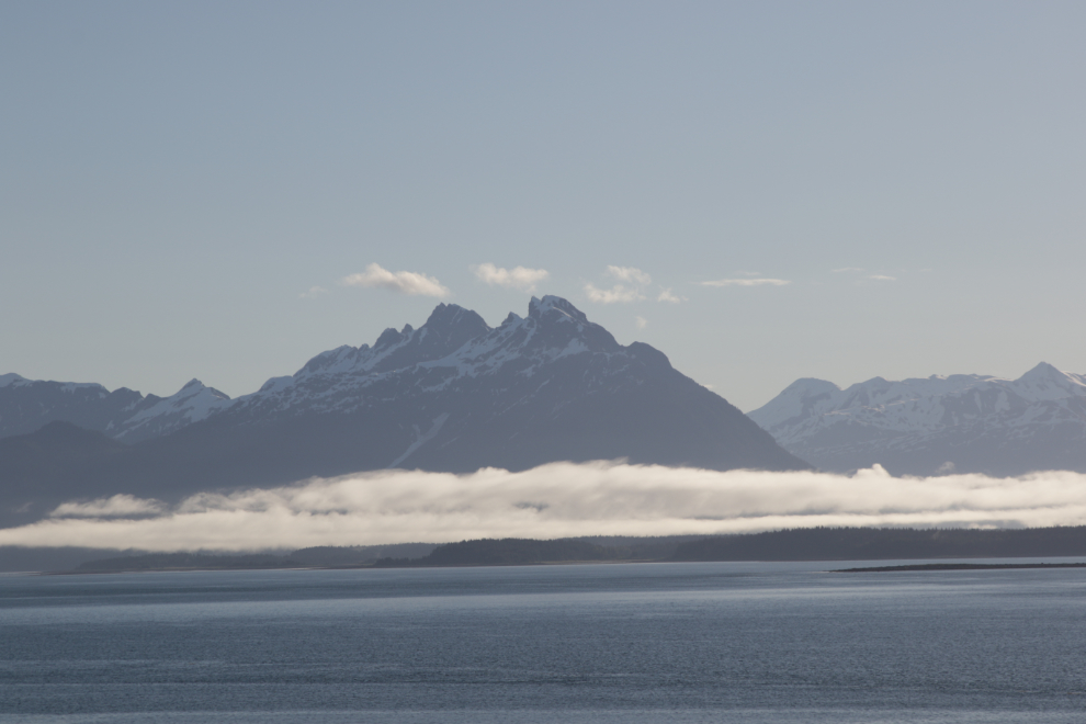
That’s an exciting view when you know what’s ahead.
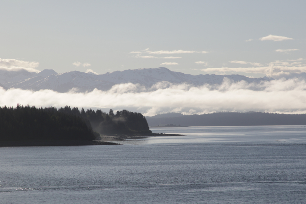
Going through these photos now takes me back there, and I’m so happy that I get to share it with you 🙂
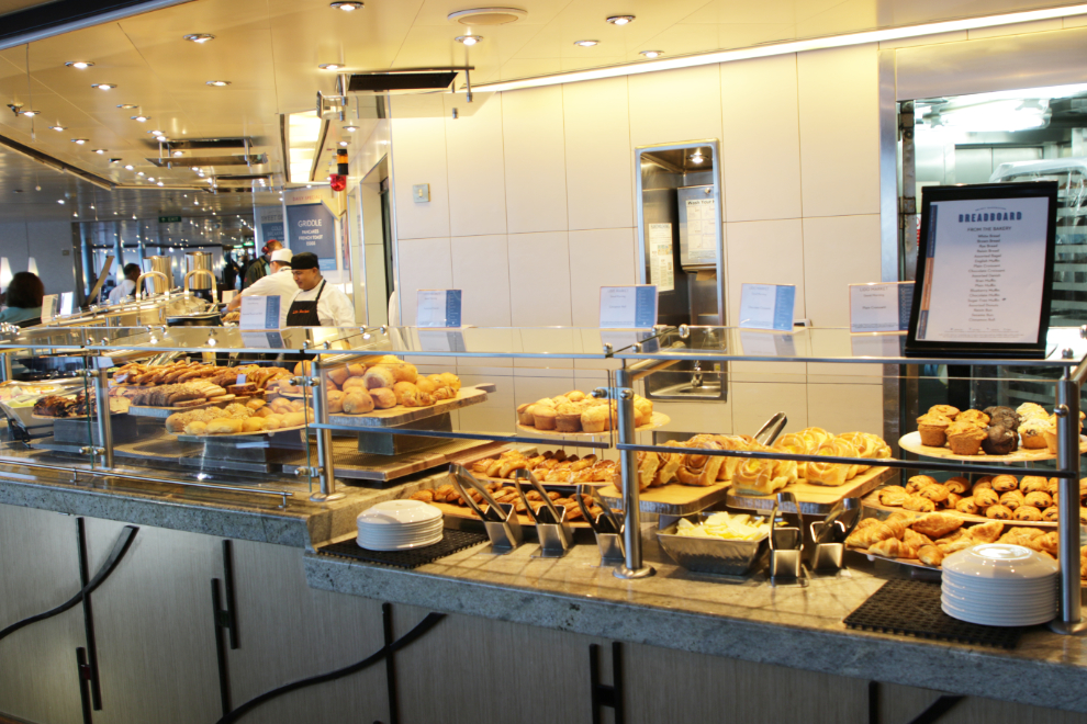
At 06:30 breakfast opens at the Lido. I wasn’t eating, just photographing. Look at those pastries – mmmmmm!
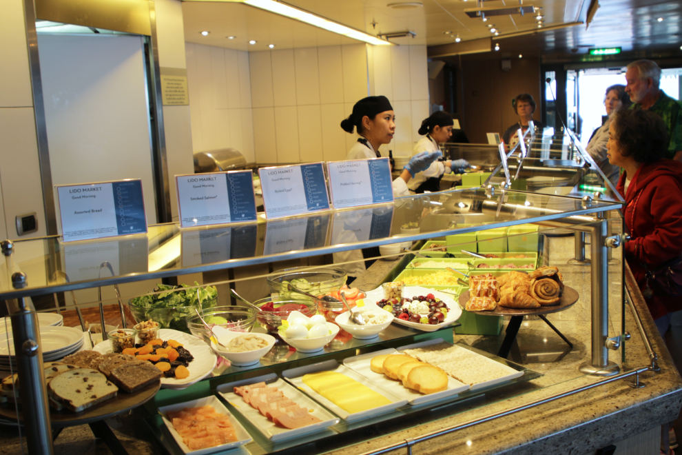
Build your own breakfast in any way you want…
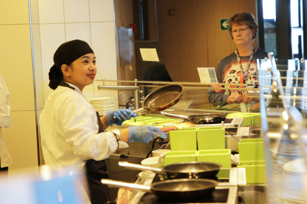
…including omelettes cooked right in front of you.
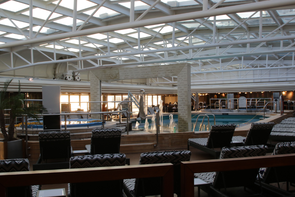
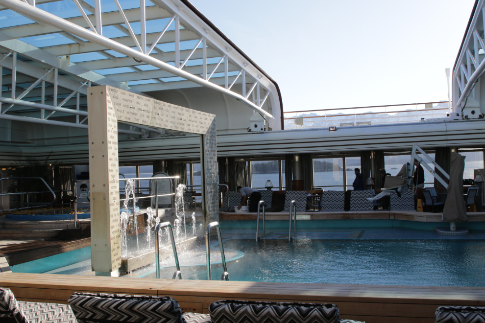
Opening the roof over the Lido Pool.
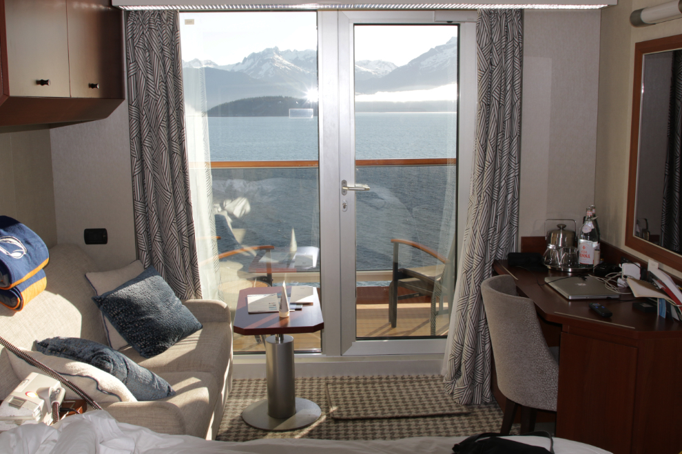
Back to our cabin to get Cathy.
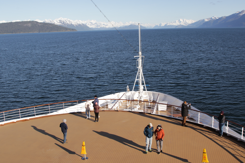
For the Glacier Bay and College Fjord cruising, the bow of the ship is opened for viewing and it gets very popular.
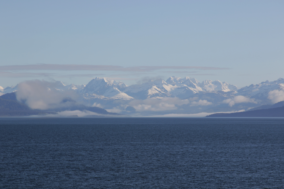
Wow, what a place!
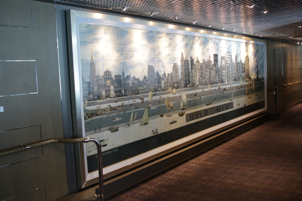
We were meeting the family for breakfast in the main dining room. We passed this huge painting of Nieuw Amsterdam (Manhattan Island) on the way.
We got the best table in the restaurant. After a couple of days we realized that we got it simply because it’s a table for 6 🙂
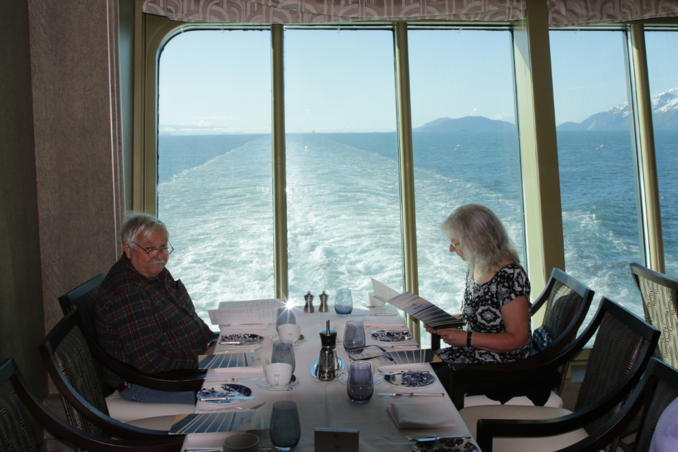
Deeper and deeper into Glacier Bay. It’s hard to believe that Glacier Bay is one of Mother Nature’s newer creations, carved out by the glaciers of the Little Ice Age that reached their maximum extent in about 1750. At that time the glaciers reached many miles out into the sea, but now they’re 65 miles from the sea.
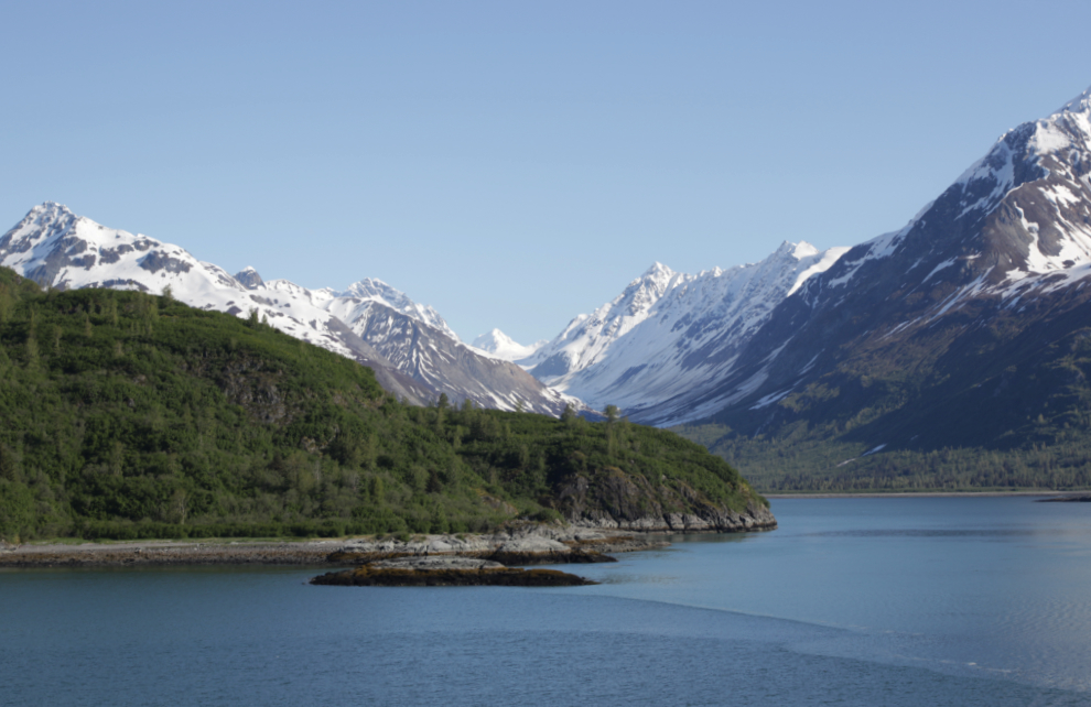
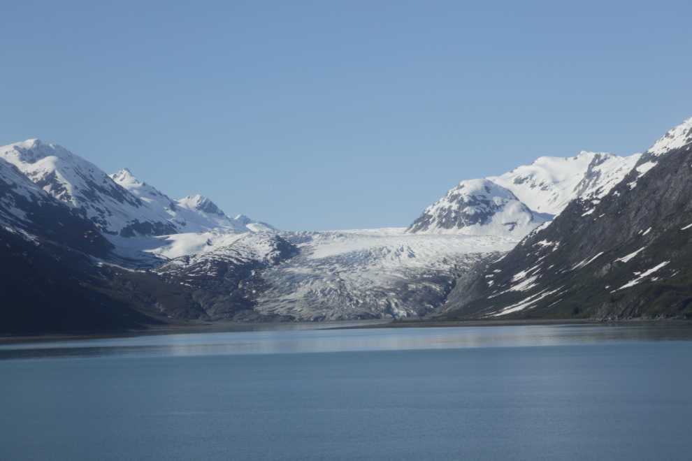
The Reid Glacier is the first one seen on the way in.
Cathy and I on the back deck. I wonder how many tens of thousands of photos were shot on our ship this day.
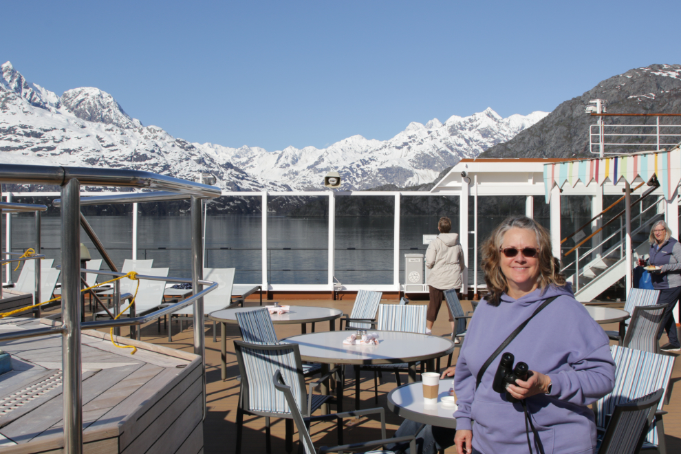
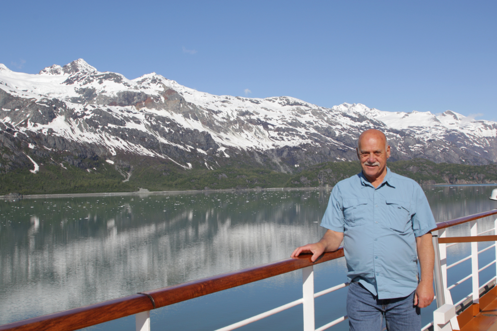
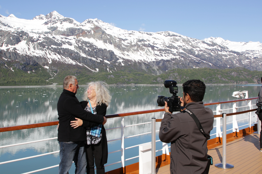
The ship photographers were busy on deck as well.
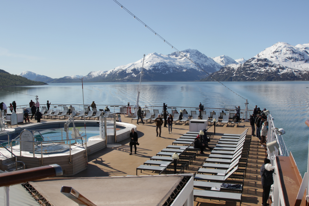
At 08:40 there actually weren’t that many people on deck yet.
Our first look at the Grand Pacific Glacier, which doesn’t get much attention because its moraine – the gravel it pushed up as it advanced – now covers the ice as it’s retreating. The Canadian border is only a few hundred meters back on that gravel, and building a Canadian port here was researched a few decades ago.
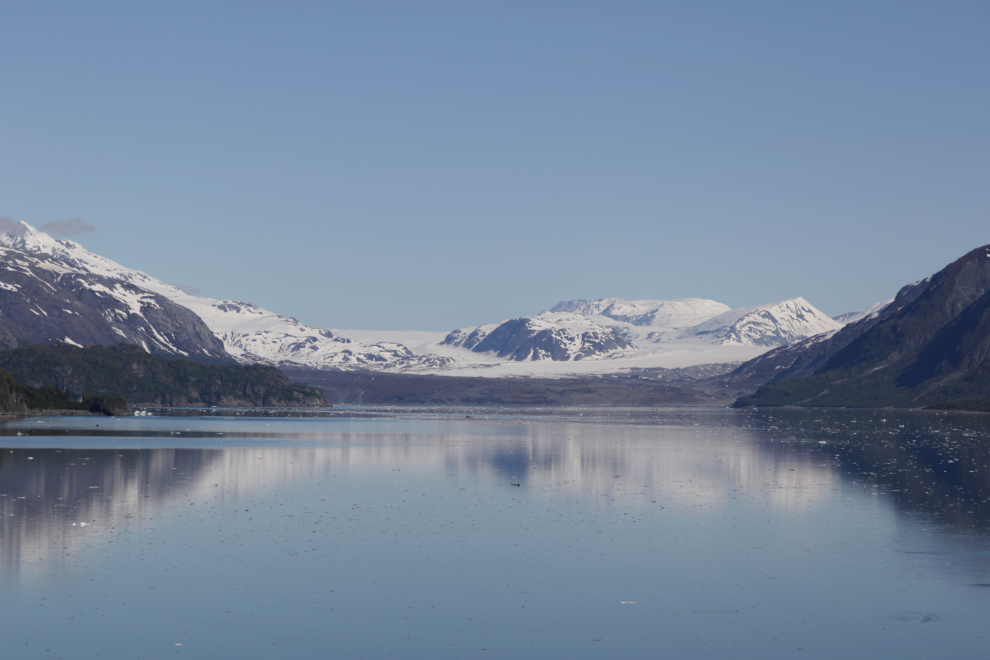
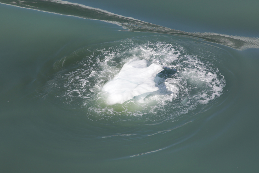
Iceberg! These little ones are called “growlers” (defined as being less than 3 feet tall and 15 feet across).
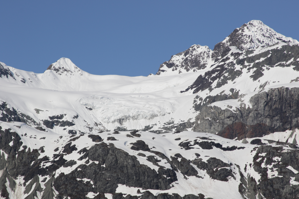
A hanging glacier.
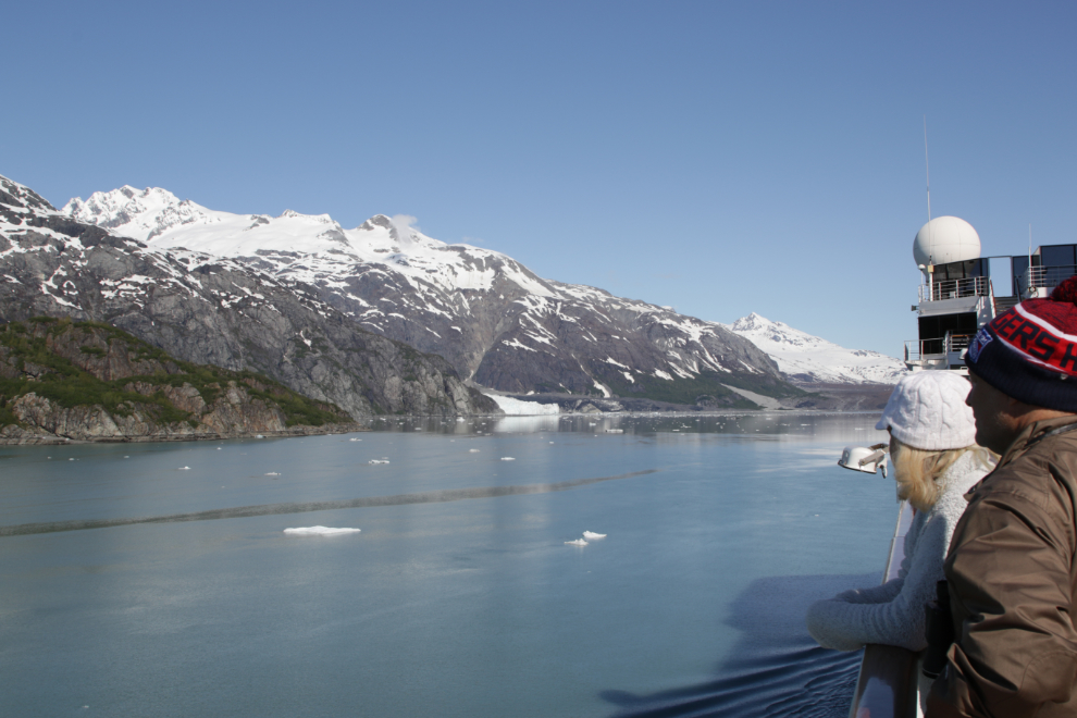
Approaching the Margerie Glacier, which is now the star of the show in this part of Glacier Bay.
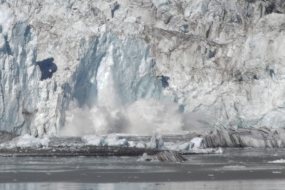
There was some calving activity as we approached Margerie. The lower photo is cropped heavily to give you a better idea of what was actually happening – I hadn’t brought any extra lenses on this trip. It’s hard to judge scale, but my guess is that that splash is about 60 feet high. The face of the glacier is about 250 feet high.
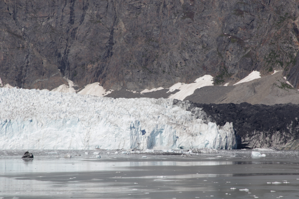
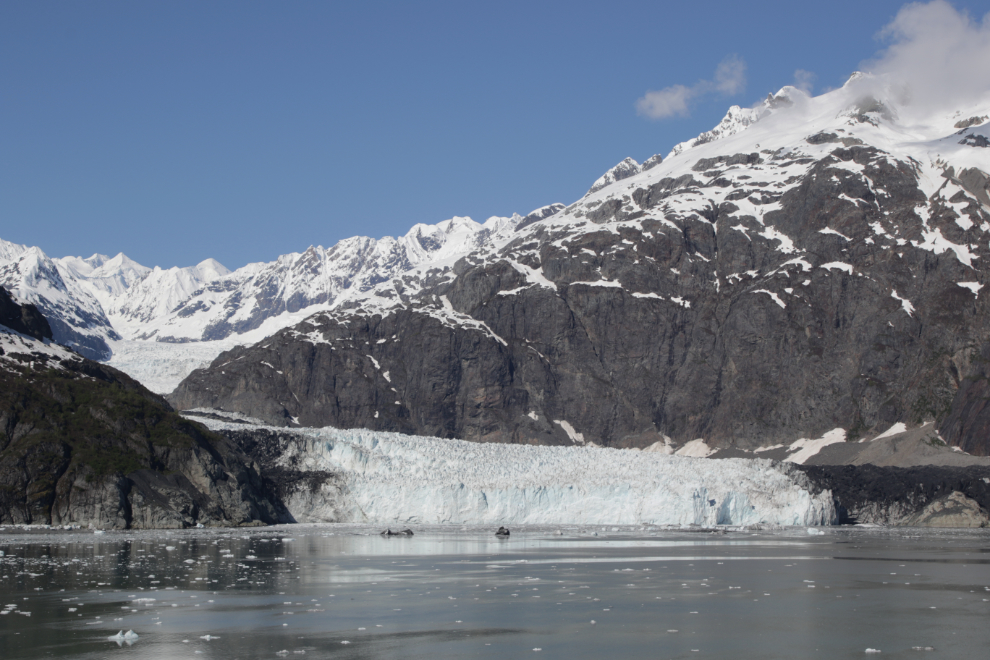
A broad view of the Margerie Glacier, which starts on the southern slopes of Mount Root and is about 21 miles long.
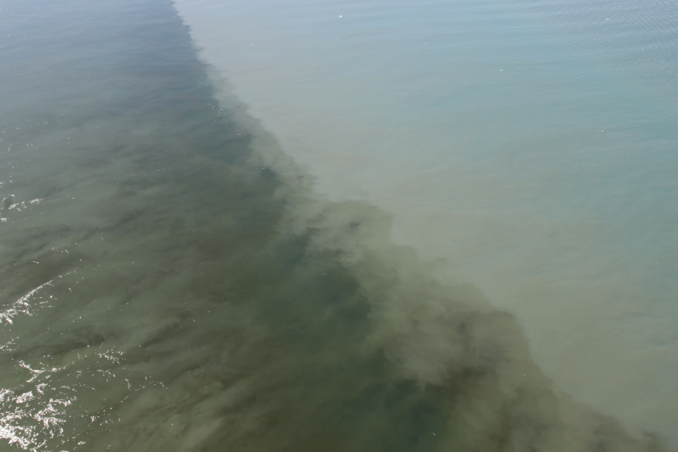
The milky waters of a small river flowing under the Margerie Glacier meet the clearer waters of the bay.
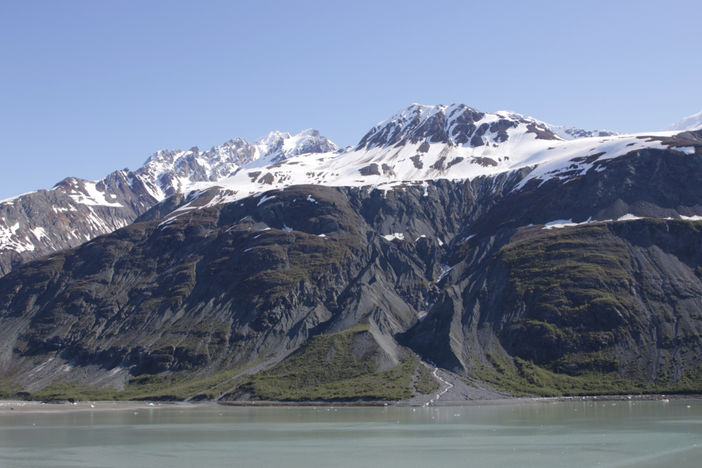
The other side of Tarr Inlet – the Grand Pacific Glacier is immediately to the left, at the head of the inlet.
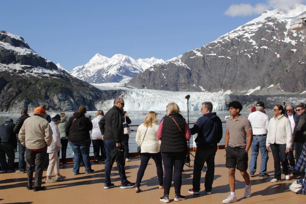
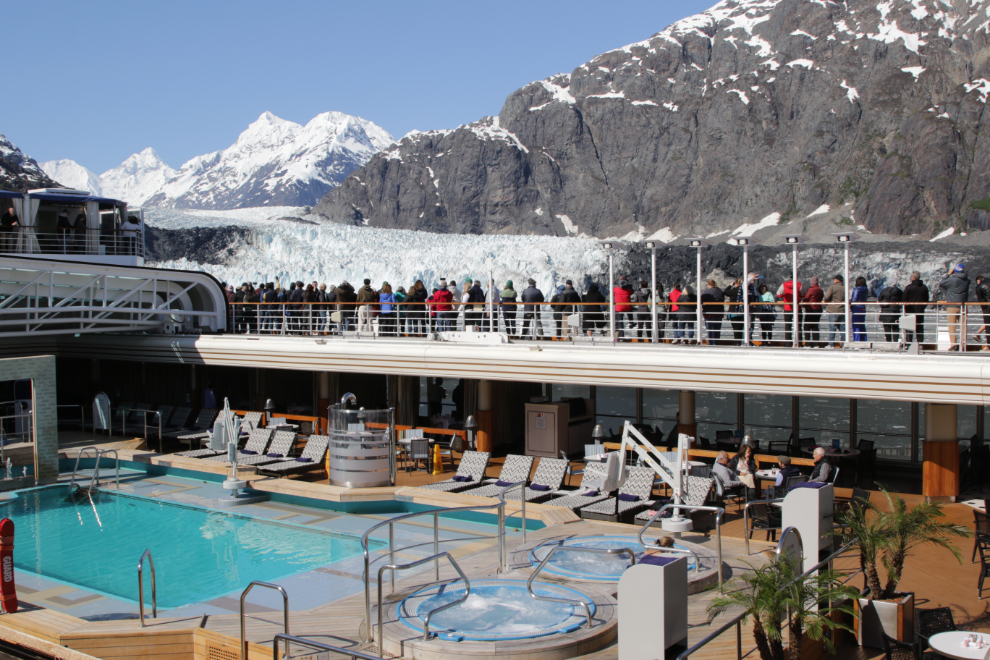
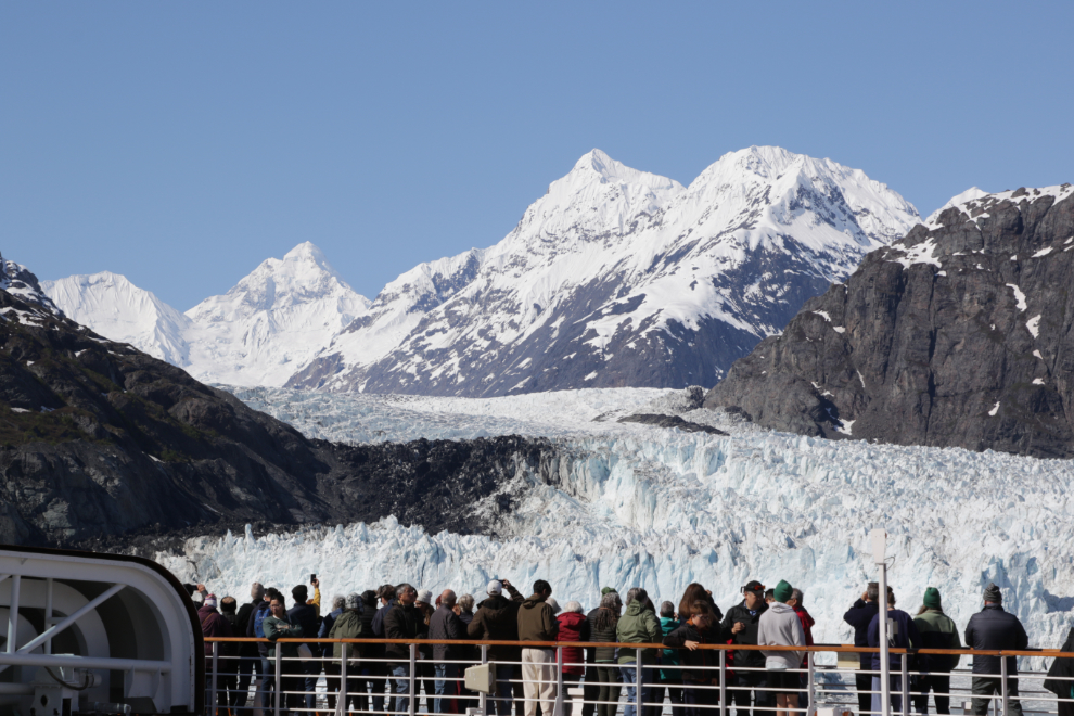
I enjoy people-watching here in particular. For the folks who don’t want to leave their balconies, the captain does a 180-degree swivel so both sides get a look.
I needed a break just before 10:00, and that turned into an hour-long recovery nap.
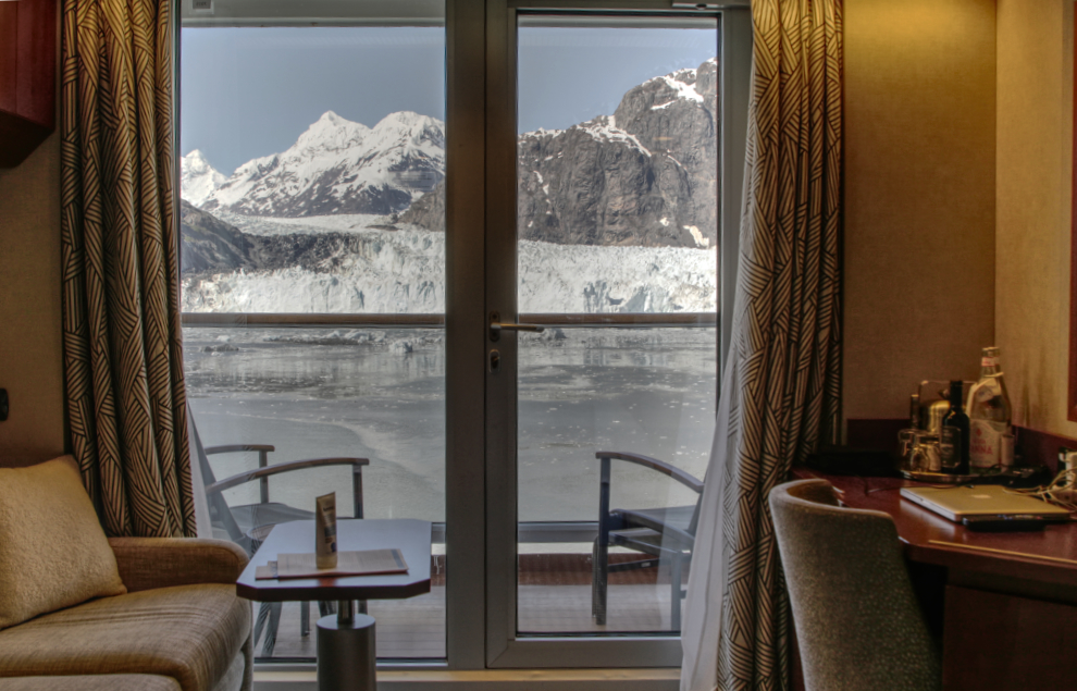
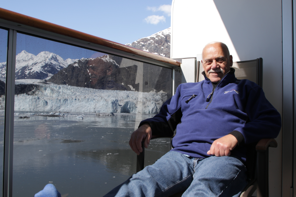
The Admiralty Dream moves in for a closer look. Operated by Alaskan Dream Cruises, she is 143 feet long and has 27 cabins. She runs on 5-night and 7-night itineraries from Juneau and Sitka.
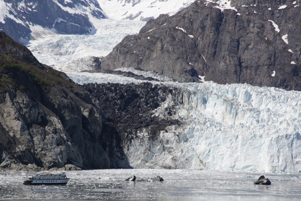
Another look across Tarr Inlet as we started to sail back to the south.
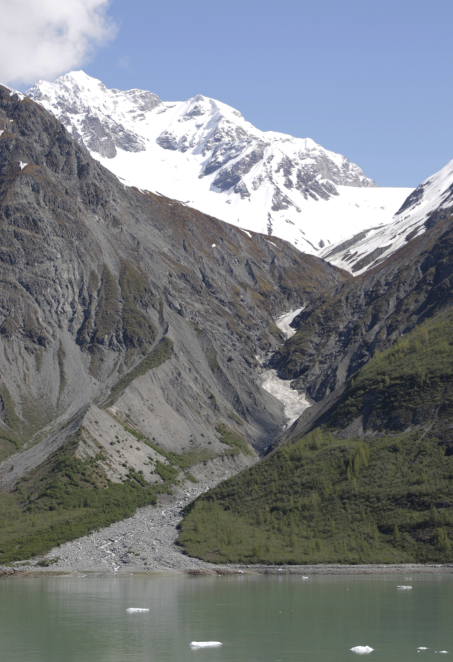
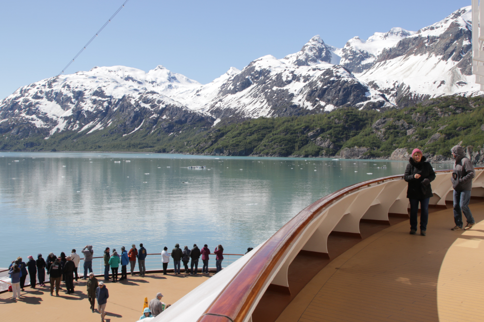
There’s a small viewing area above the bow of the ship that is also opened during the glacier cruising days, and I much prefer it for photography.
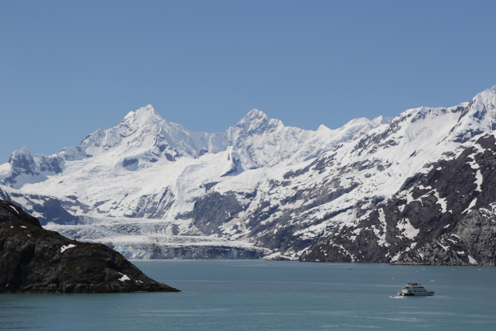
The catamaran seen at the John Hopkins Glacier is operated by the Glacier Bay Lodge for 8-hour tours of the park.
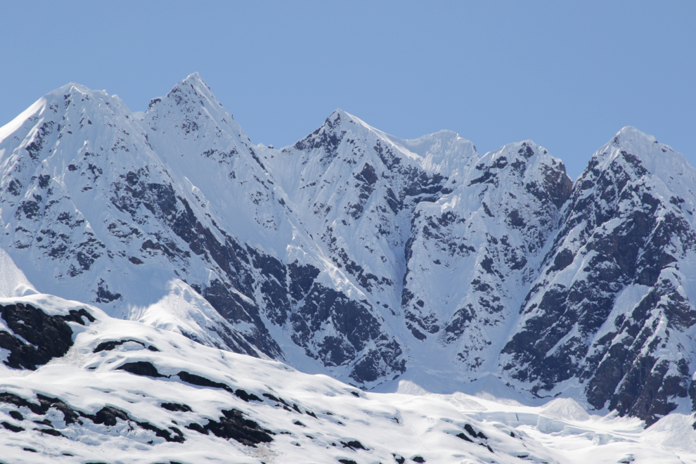
There are people who want to climb those peaks – perhaps have climbed them – but I’m happy to see them from this angle.
The dining room and spa are great, but I would sure love to spend a few days in Glacier Bay with a boat like that.
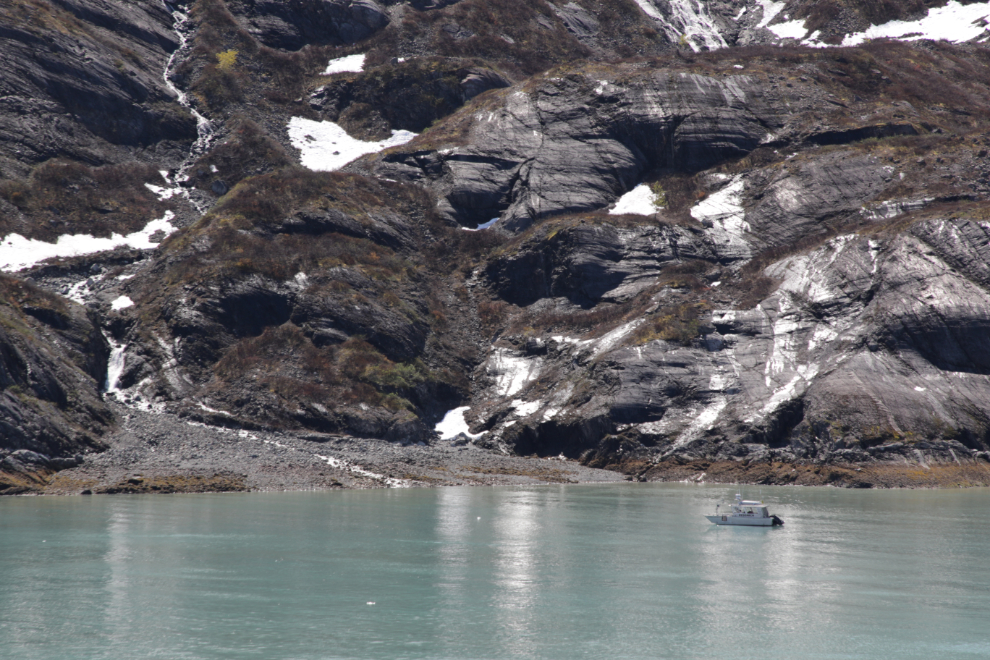
Nearing the Reid Glacier again, the Safari Endeavour was sitting in a sheltered spot.
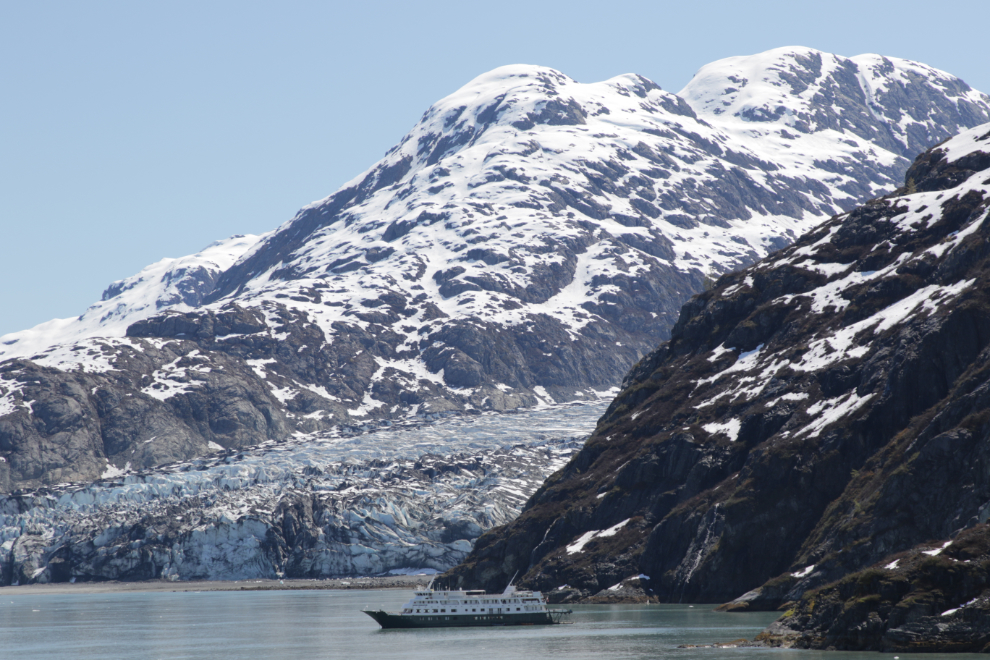
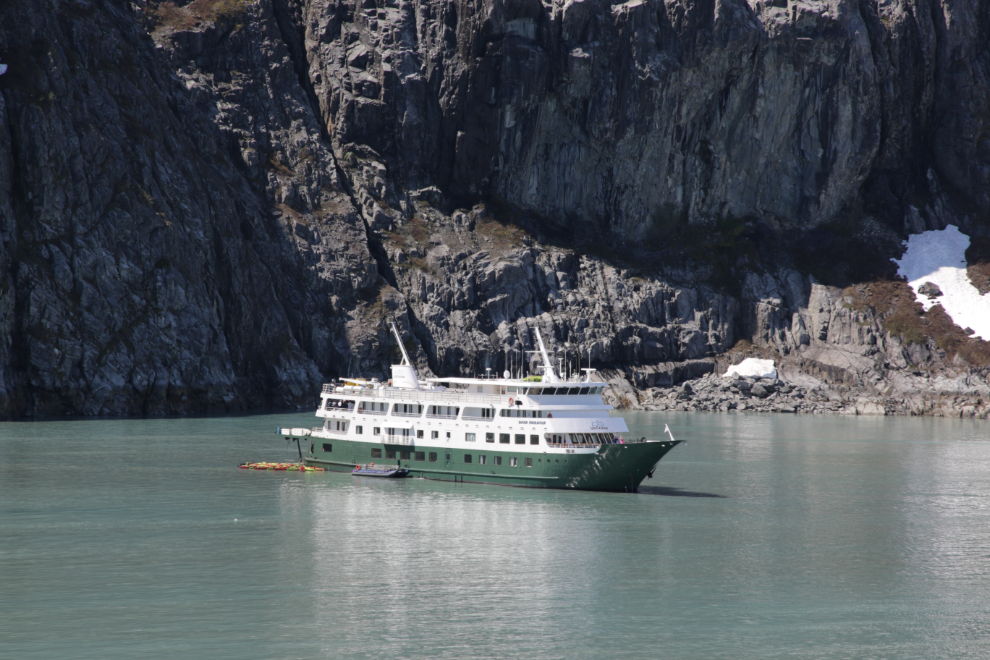
The 230-foot Safari Endeavour is one of the finest of the small ships that visit Glacier Bay. Operated by Uncruise Adventures, she has 42 cabins and offers week-long expeditions between Juneau and Sitka. Note the fleet of kayaks tied at the stern – these are true adventure cruises.
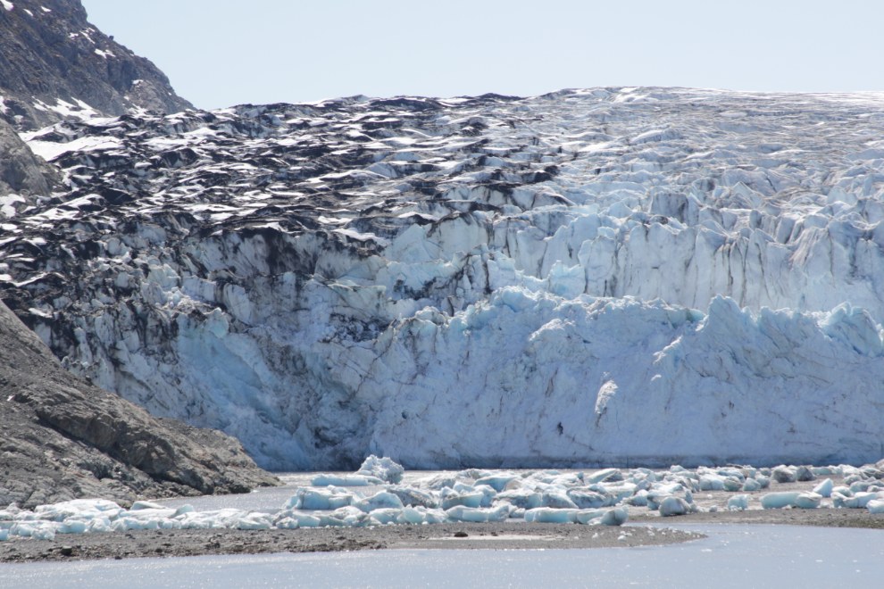
A closer look at the Reid Glacier shows that it has retreated out of the water and is now grounded.
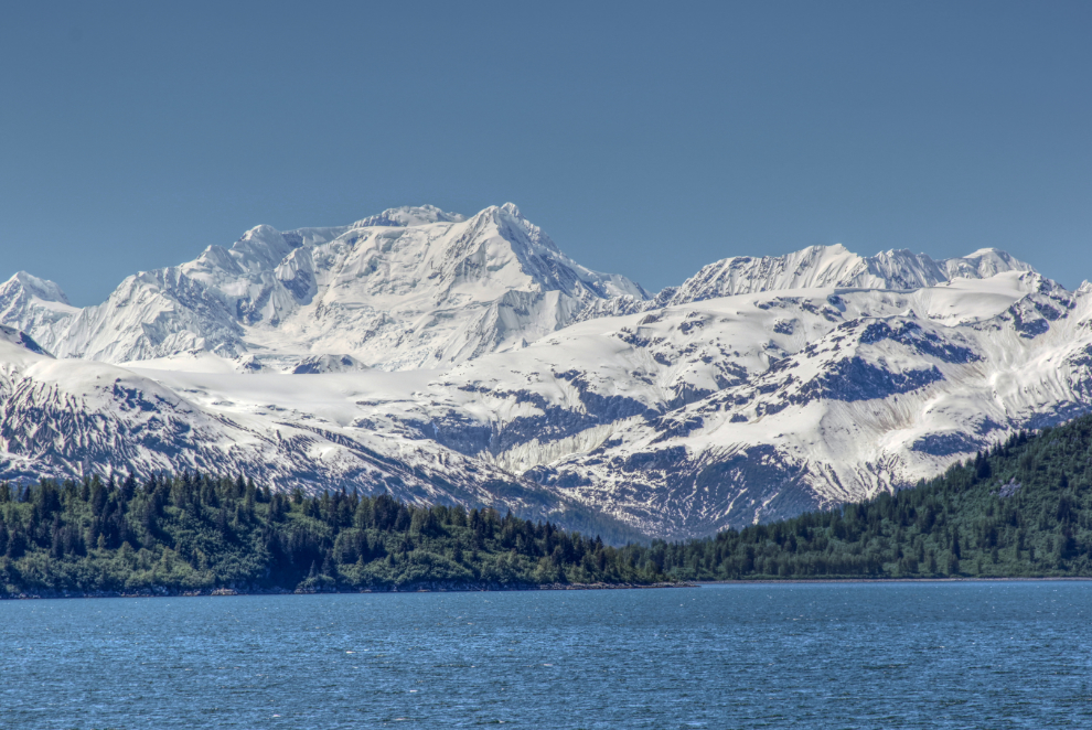
I’ve not been able to figure out the names of these particularly impressive peaks.
The Promenade on Deck 3 as we start to head out of Glacier Bay at 1:15.
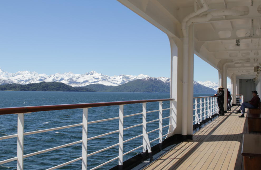
Sometimes there’s nothing to say but it’s too beautiful to not show you… 🙂
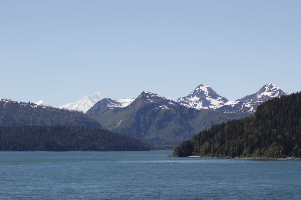
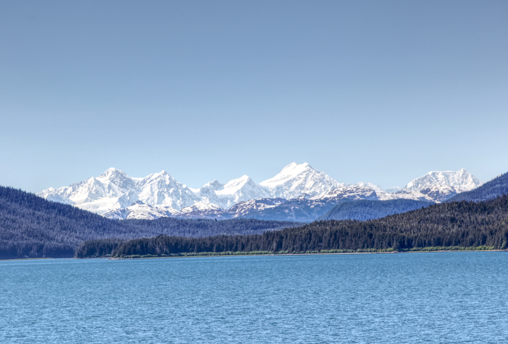
A humpback whale was doing a whole lot of splashing as we passed by. It went on for several minutes – it’s very unusual behaviour, and I don’t know what was going on.
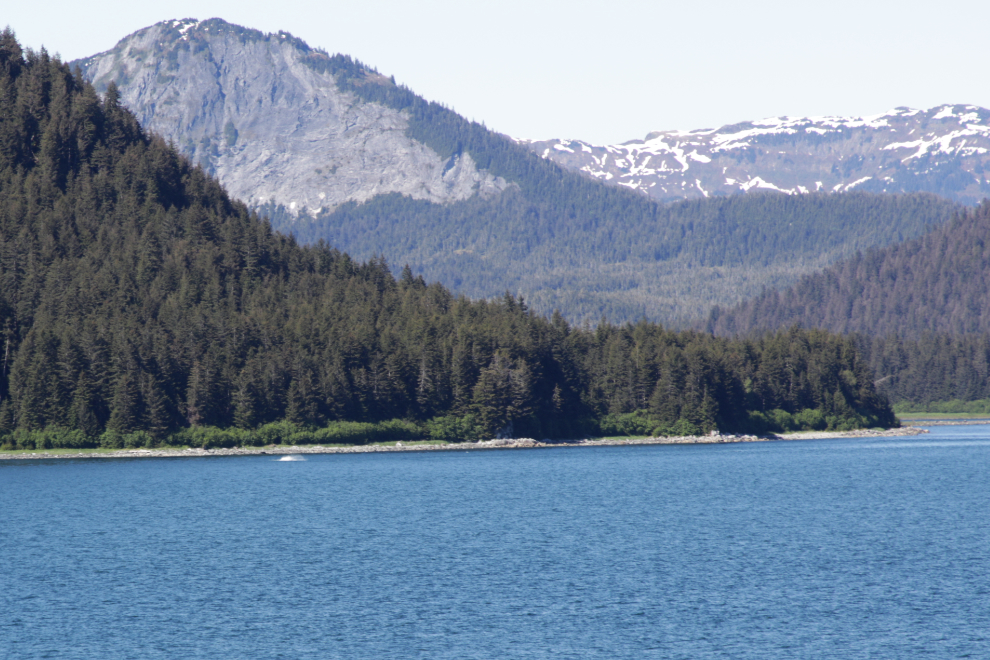
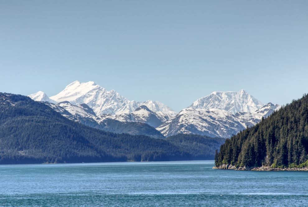
More spectacular peaks, now along Cross Sound, at 3:40.
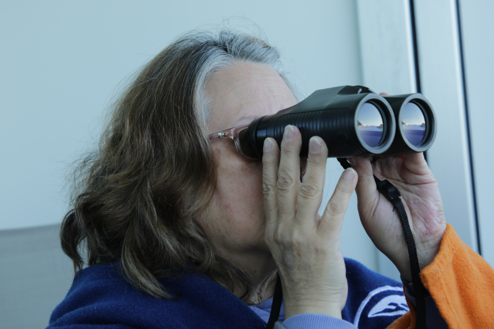
Cathy getting a closer look at something 🙂
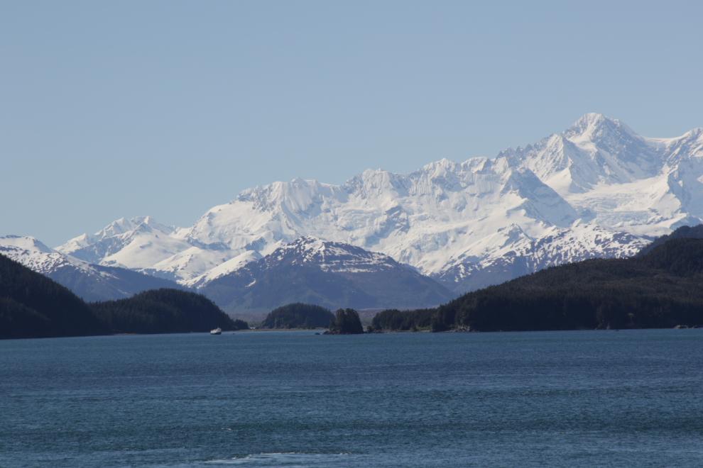
I think it was Uncruise’ 76-guest Wilderness Discoverer that was at Taylor Bay.
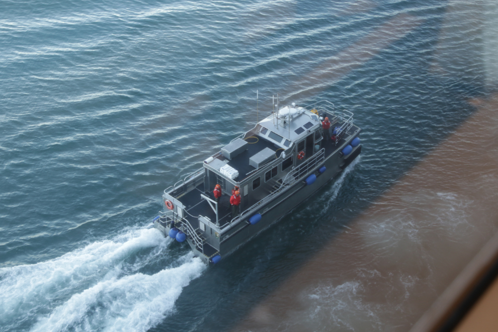
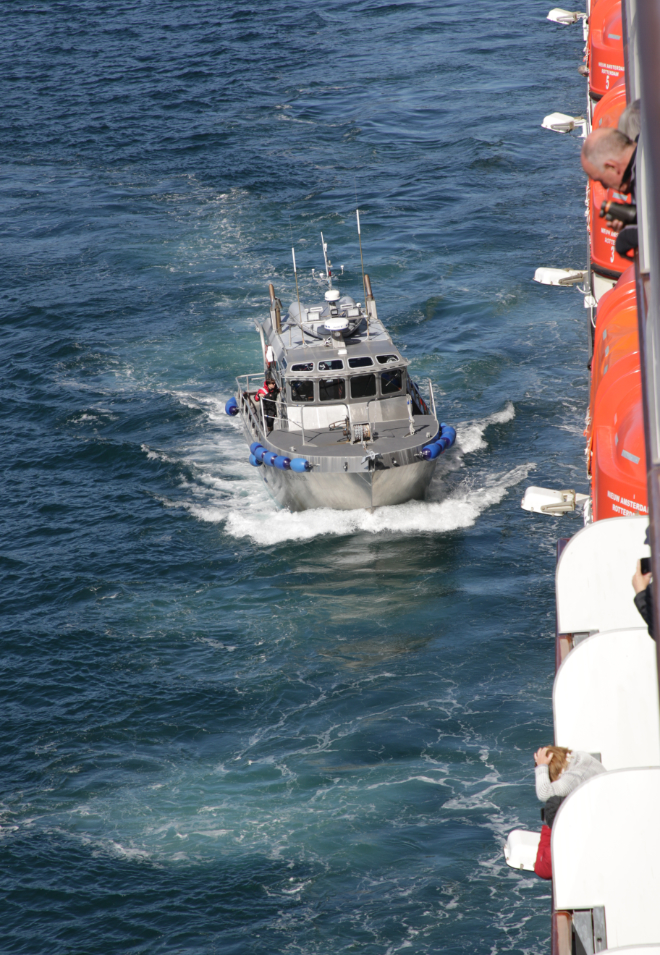
At 4:00 a boat that had been waiting for us near the western end of Cross Sound came alongside and took our pilot off.
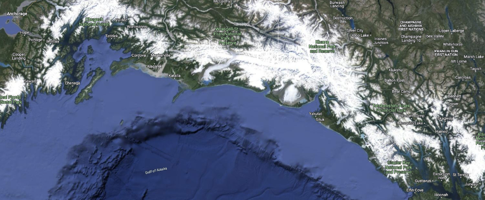
The Gulf of Alaska is huge, and it would take us into the next day to cross from Glacier Bay, near the lower right of the map below, to College Fjord, which is near Whittier towards the upper left. To see an interactive version of the map, click here.
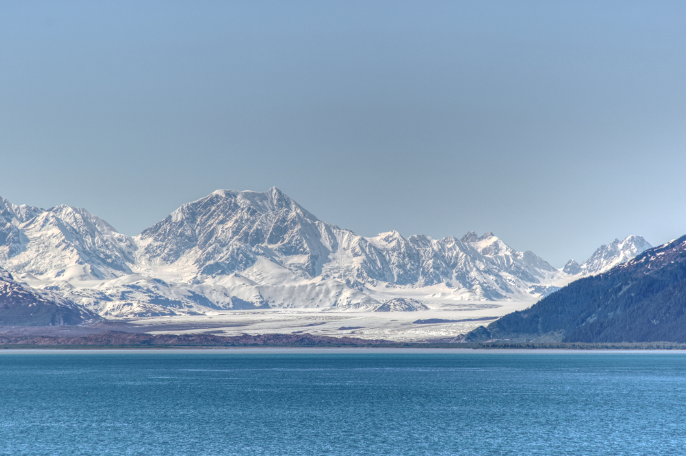
The Brady Glacier.
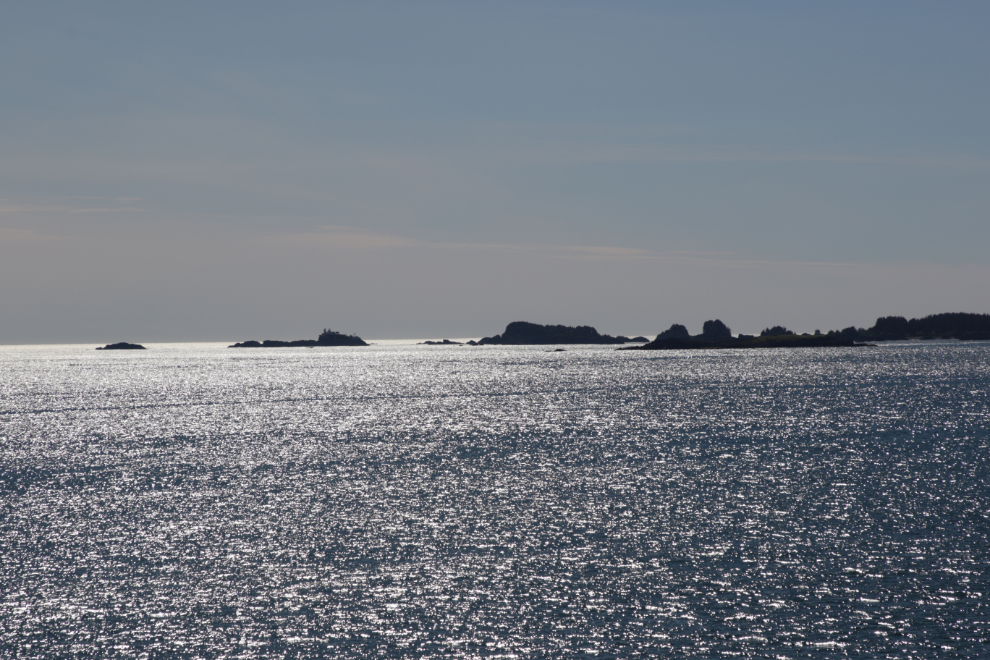
A couple of photos of the Cape Spencer Lighthouse, which marks the western entrance to Cross Sound.
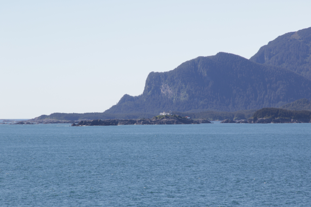
Graves Harbor is on the other side of the point.
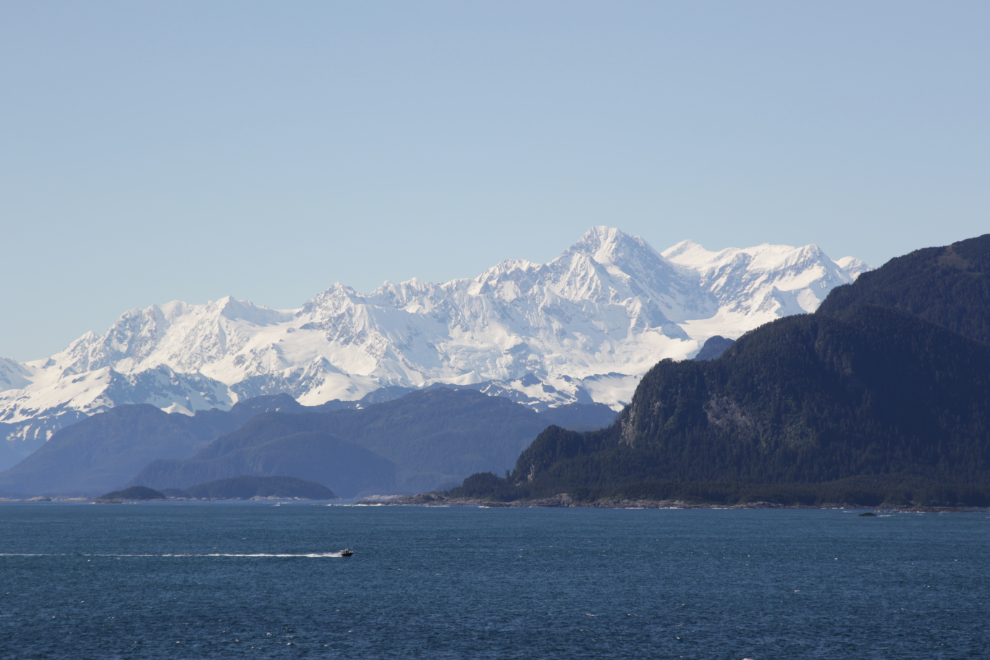
The province of British Columbia almost reaches the Gulf of Alaska. The peak of Mount Fairweather (4,669m/15,300 ft) is right on the border and is considered to be BC’s highest peak. The Fairweather Glacier flows from it towards the Gulf but doesn’t quite reach it anymore.
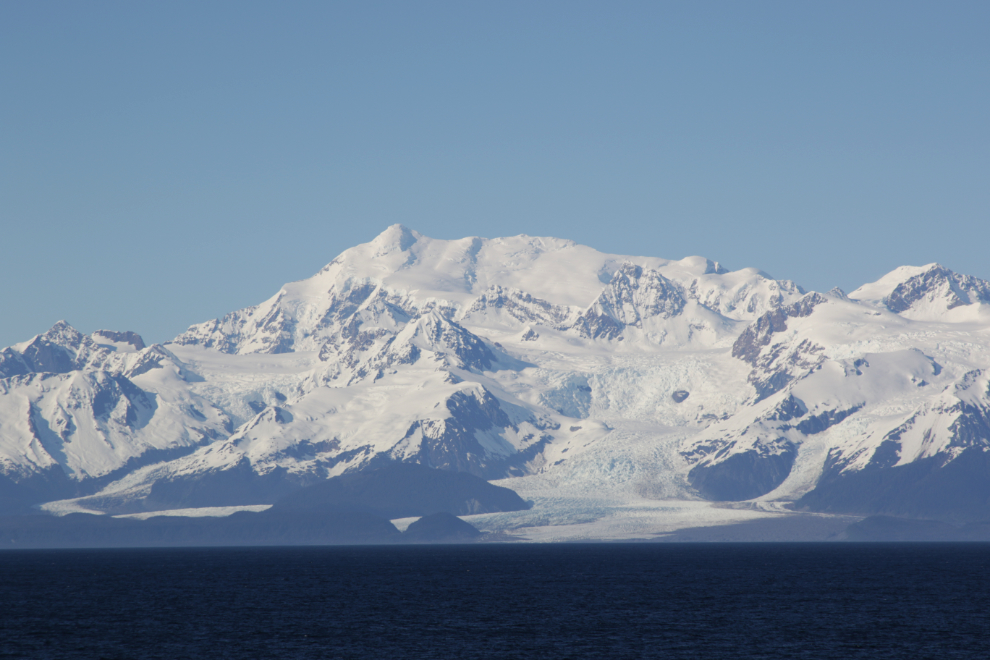
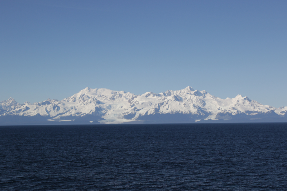
The light tonight was stunning. The next photo was shot at 10:18.
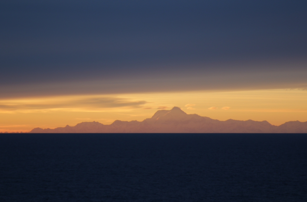
Just 7 minutes later.
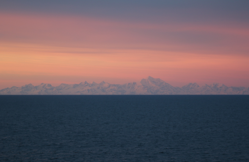
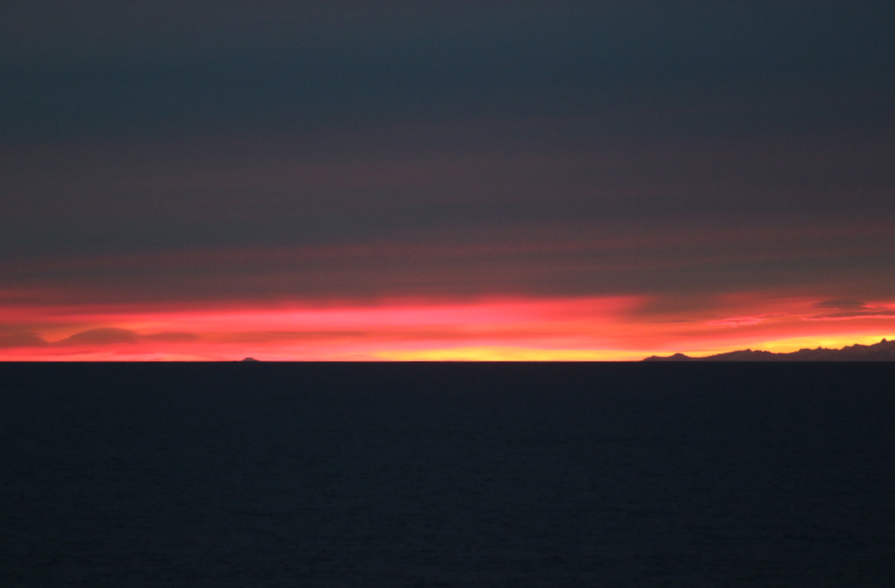
Cathy shot the final photos of the day on my camera at 11:10, after I had gone to bed.
Stunning and incredible. I always look at each posting a second time, usually commenting the first read, but wanted to see the photos on a better desktop monitor than my little laptop. Well worth the effort. Thanks for taking us along… Whetted my appetite (once again, for a small ship adventure).