A Skagway R&R road trip
I hadn’t been down to Skagway since the 18th of December, and for weeks I’d been watching for the right combination of decent weather and a “free” day. There’s actually no such thing as a free day anymore, but a day with nothing really important to be done. I decided on Thursday that yesterday was that day.
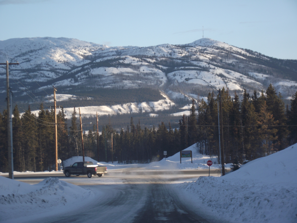
That’s the Alaska Highway ahead – Whitehorse is to the left about 10 miles, Dawson Creek (Mile 0 of the highway) is 876 miles to the right. This was shot at 8:50am, with the temperature sitting at -26°C (-15°F).
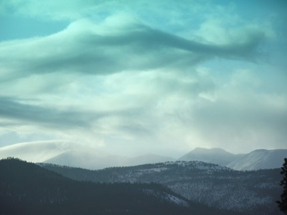
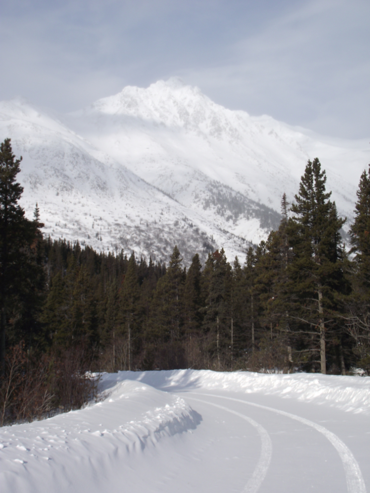
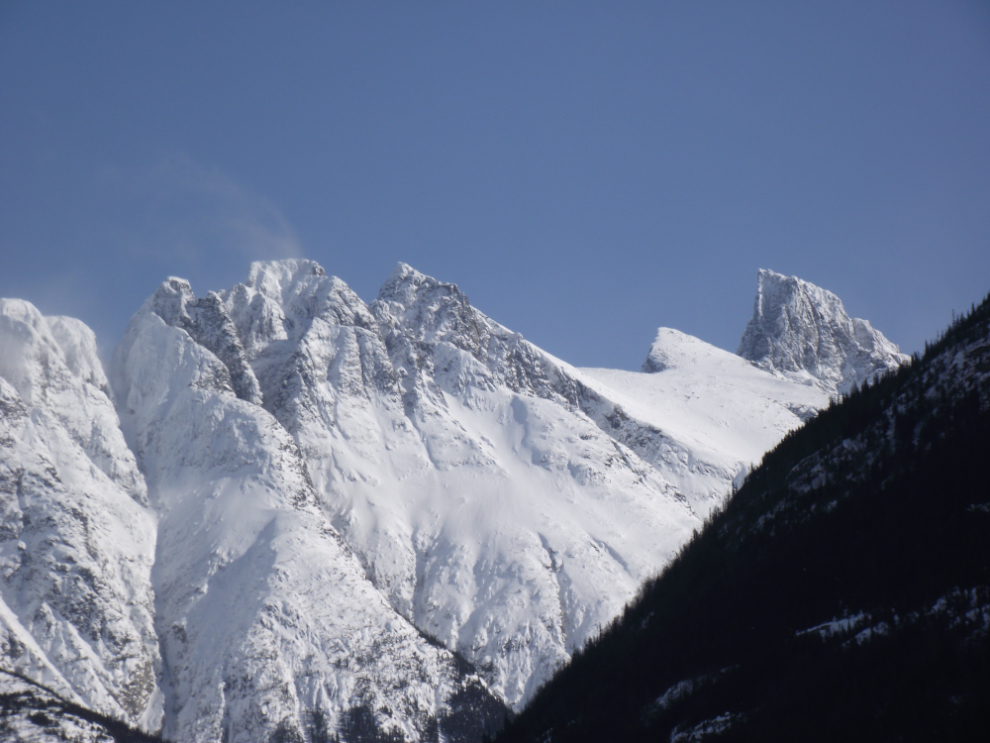
Just a couple of miles down the South Klondike Highway, this view always catches my attention, particularly when the clouds and light work like this.
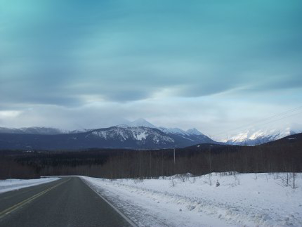
The forecast clearing skies weren’t happening, but looking south from Km 112, the sunshine over Lake Bennett looked promising.
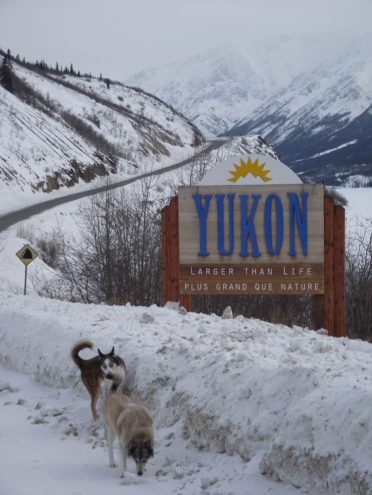
We stopped at the Yukon-BC border for a stretch. I think that Monty, behind Kayla, has been getting cabin fever the past weeks – he needed to get out of the house as much as I did. Kayla’s much calmer and is happy whatever is going on 🙂
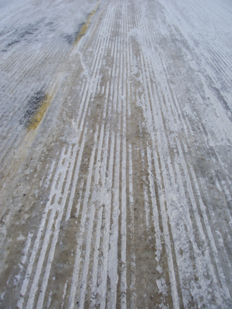
When the snow and ice on the road gets too badly polished, a grader with an “ice blade” is sent down to gouge it out. That’s what leaves these marks. Whenever I see one operating I feel sorry for the grader operator – it must be a very hard, bumpy, noisy ride.
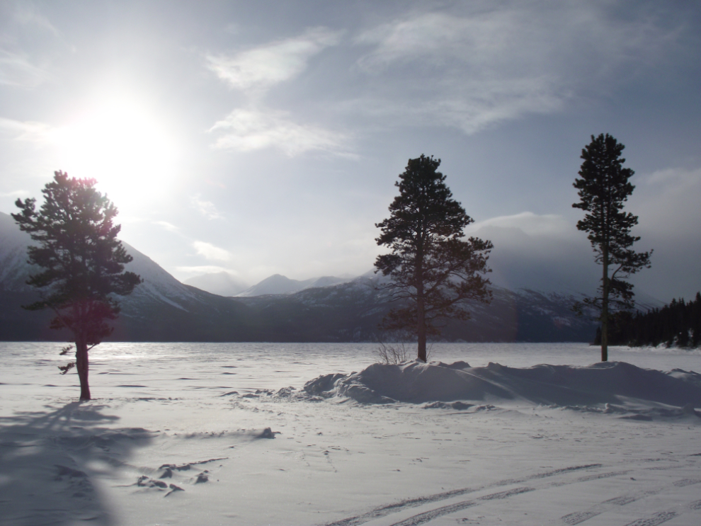
We made our usual stop at Tutshi Lake (Km 64.3) for a good run. This is a lovely spot at any time of year.
The short road back to the highway is particularly scenic, and I have dozens of photos taken along it.
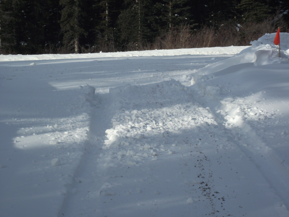
I had to bust through this wind-drift to get down to the lake. That will give you an idea of why I had to have the front of the car welded and re-painted last year 🙂
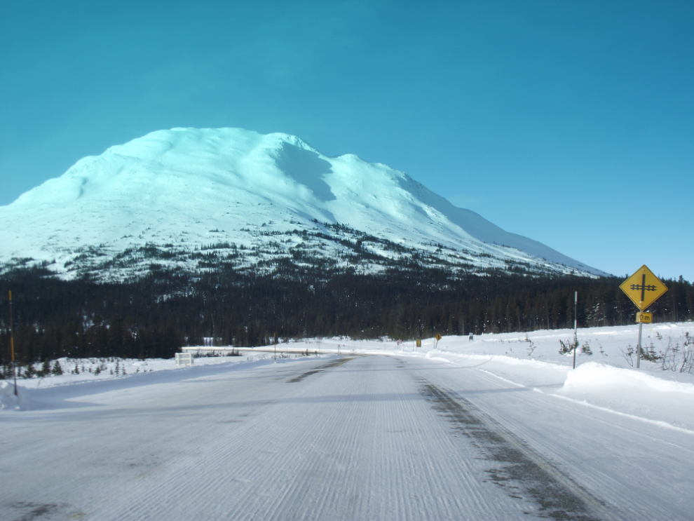
Approaching the railway crossing at Log Cabin, Km 43.9, at 10:20. The tracks are under a couple of feet of snow now. From April 25-29, the WP&YR is going to be running their historic rotary snow plow to clear the tracks, and this year they’re taking passengers.
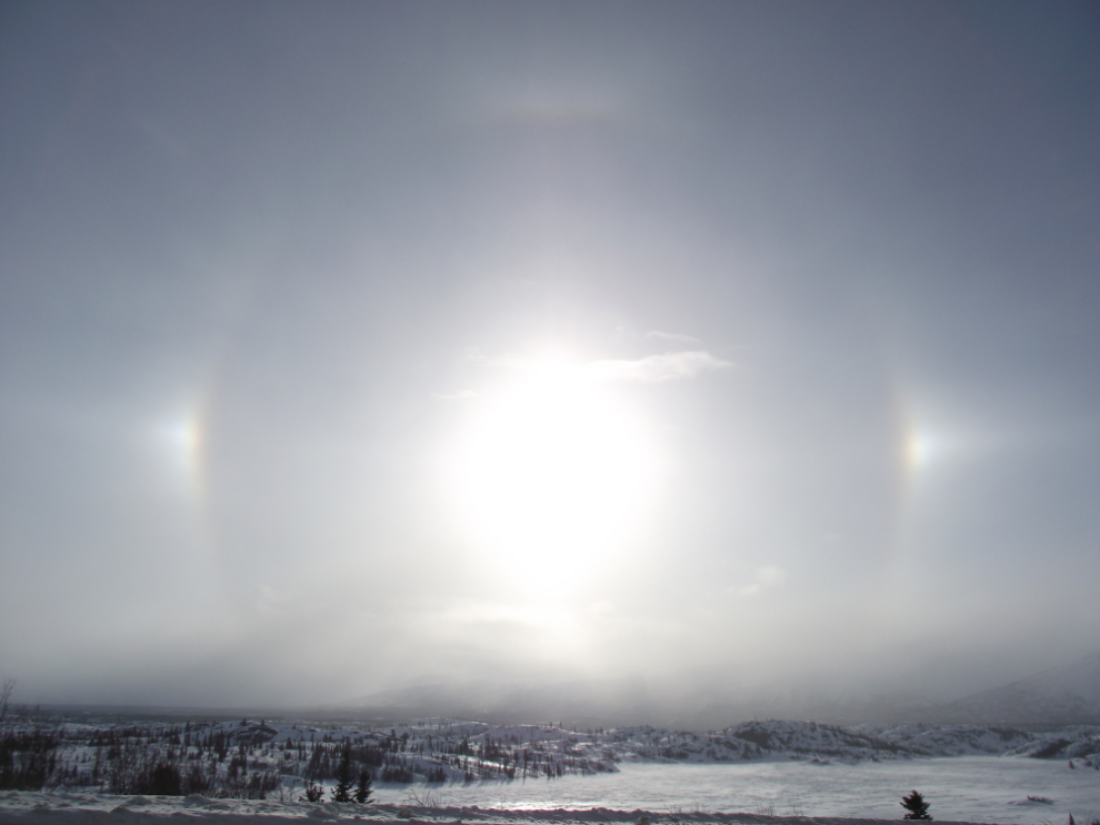
A very nice halo around the sun, caused by ice in the air. The bright points to each side are parhelia, usually called sun dogs.
Fraser, British Columbia, where northbound drivers clear Customs. The rail line is under the snow to the left.
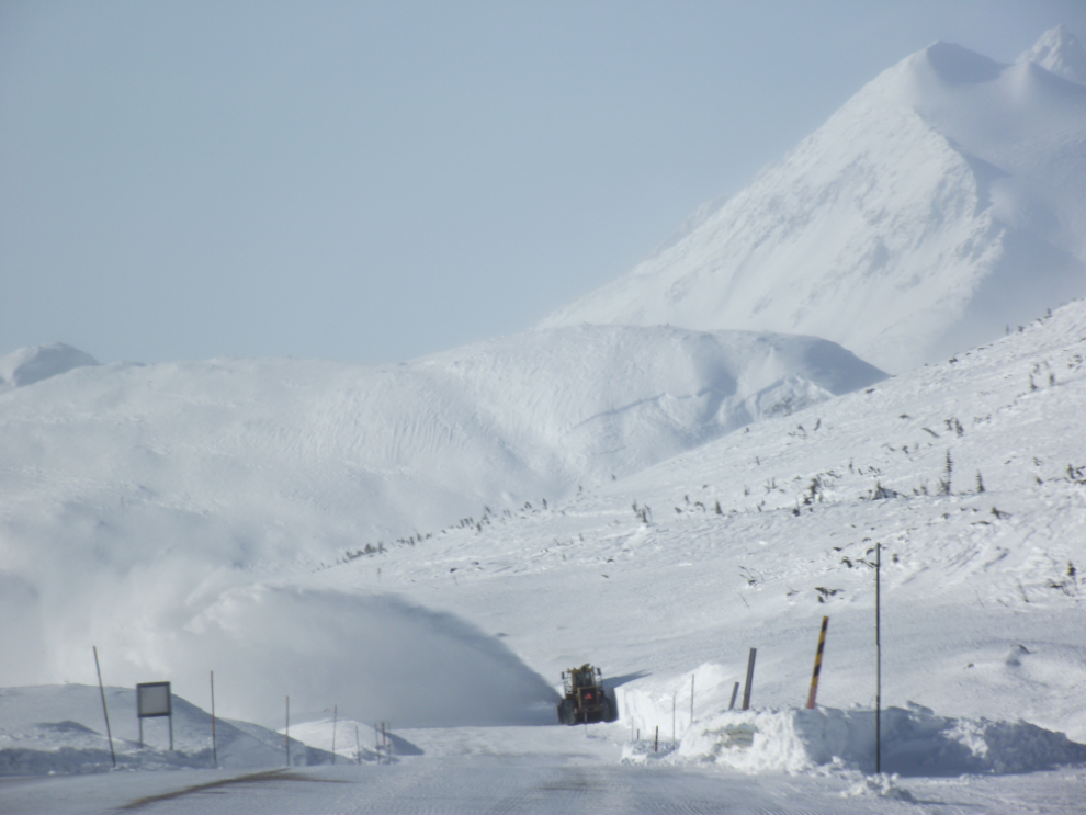
A rotary plow clearing the highway along Summit Lake.
It was only -17°C at the Summit, but the wind was brutal and the wind chill was well into the 30s.

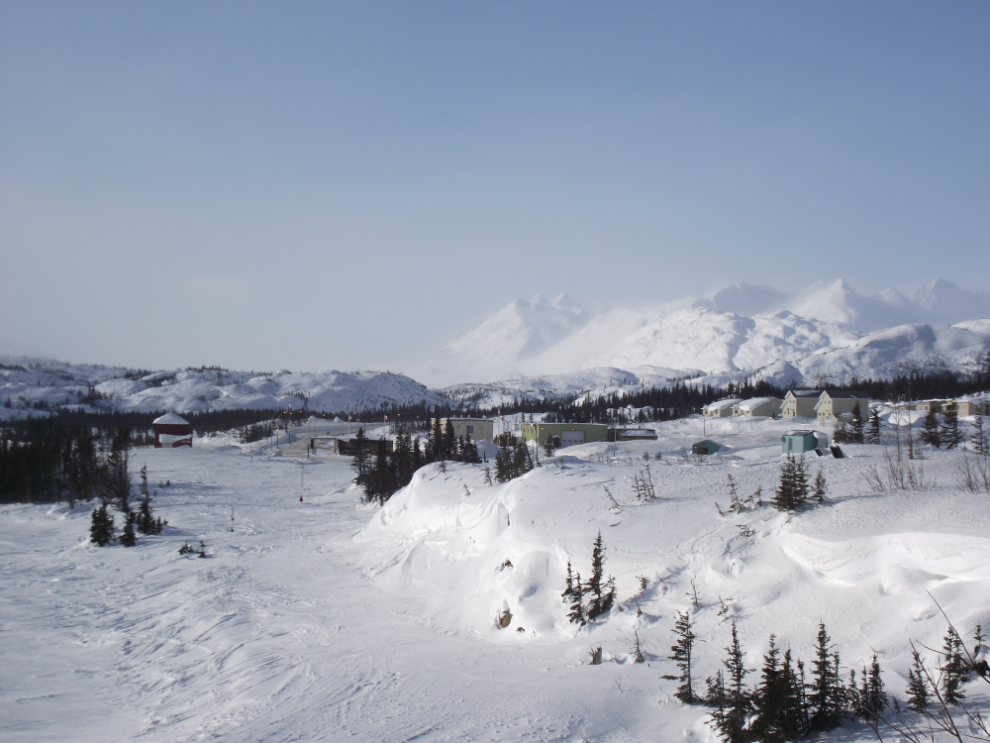
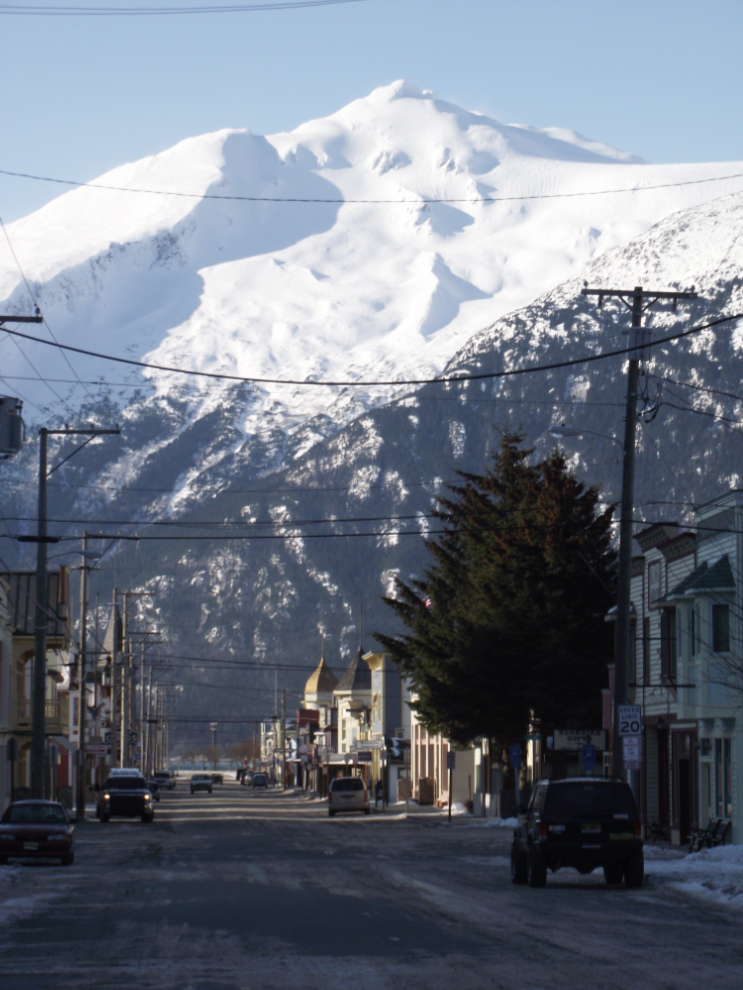
It’s great to see the sun hitting Broadway again – for a few weeks all of Skagway is in the shadow of the mountains.
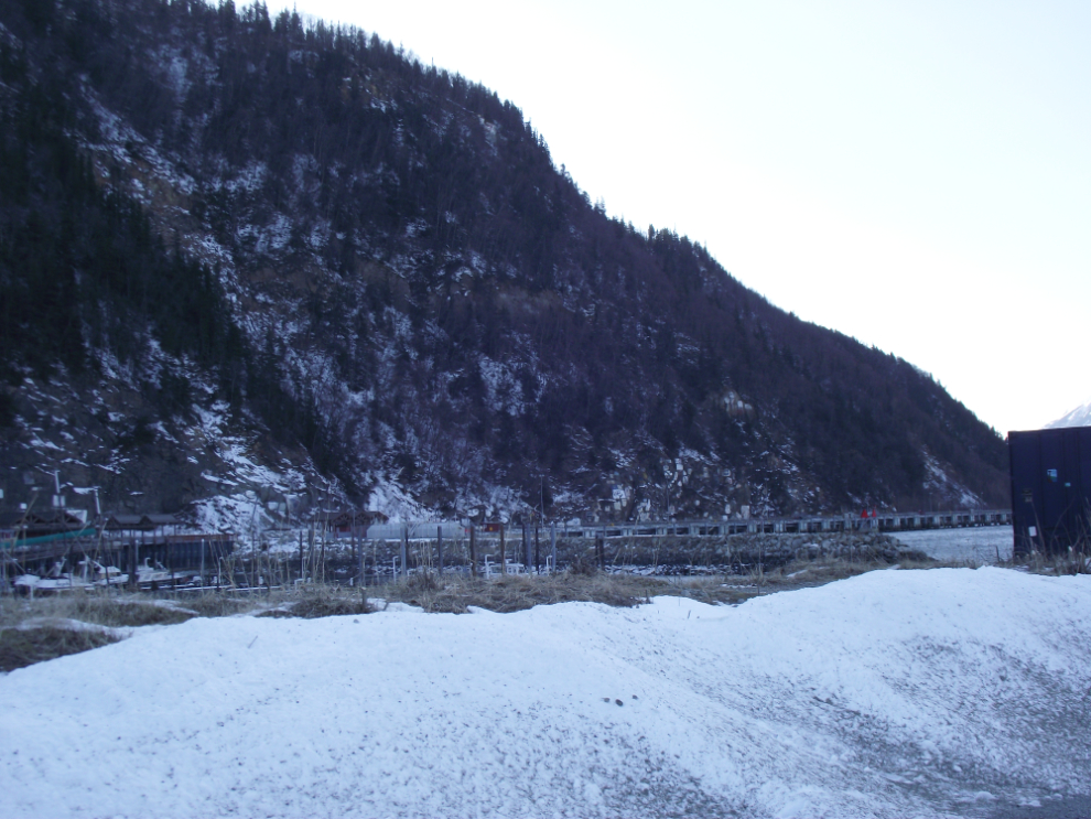
In the past few weeks the shore overlooking the small boat harbour has been cleared of the small trees that had grown up and blocked the great views.
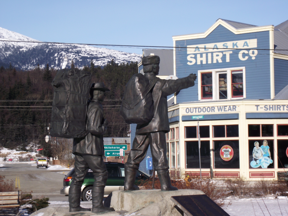
Chuck Buchanan’s statue of a Klondike gold prospector, with his Tlingit Indian guide pointing the way to the gold. It probably wasn’t intentional that he also points to the modern source of Skagway’s gold!!
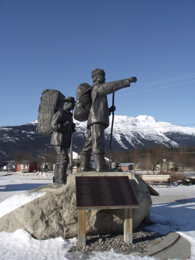
A much better view of the statue 🙂
I had lunch at the Sweet Tooth Cafe, took a few photos around town and by 12:45 (11:45 Alaska time) was back on the road north. The temperature in Skagway was -10°C (+14°F) but the high winds made walking very unpleasant.
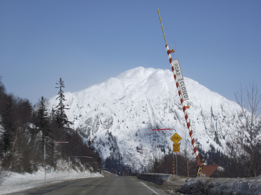
This gate at Mile 8.2 is used to close the highway when zero-visibility or avalanches make travel too dangerous or impossible. It was closed for 3 days last week due to blizzard conditions, but closures are not at all common.
I’m using the video capability of my camera more and more, and it occurred to me on the way down that this would be a great way to answer the common question from people planning a trip about what the drive is like. This 7-minute video shows the highway from about Mile 9 to the Summit. The road noise is quite annoying so you’ll probably want to turn your speakers down or off.
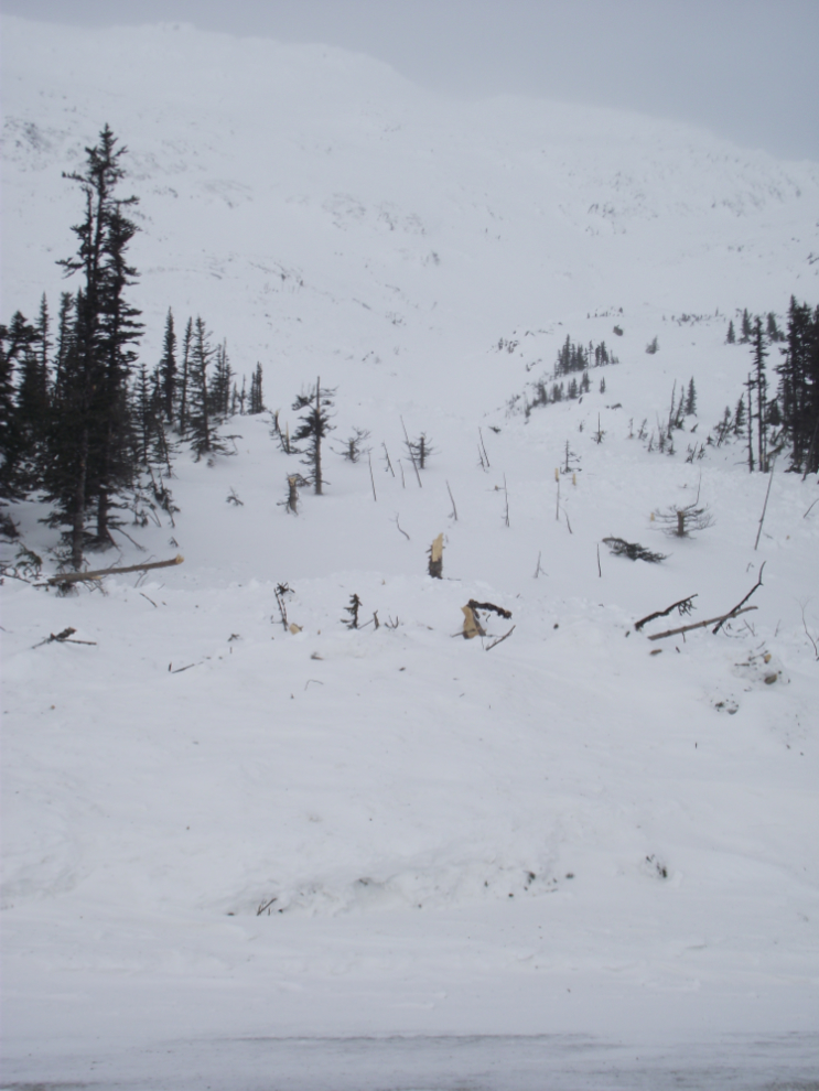
There was a fairly fresh avalanche at Km 38.5. There hasn’t been an avalanche at this location in many years – some of the trees that were snapped off are probably over 100 years old.
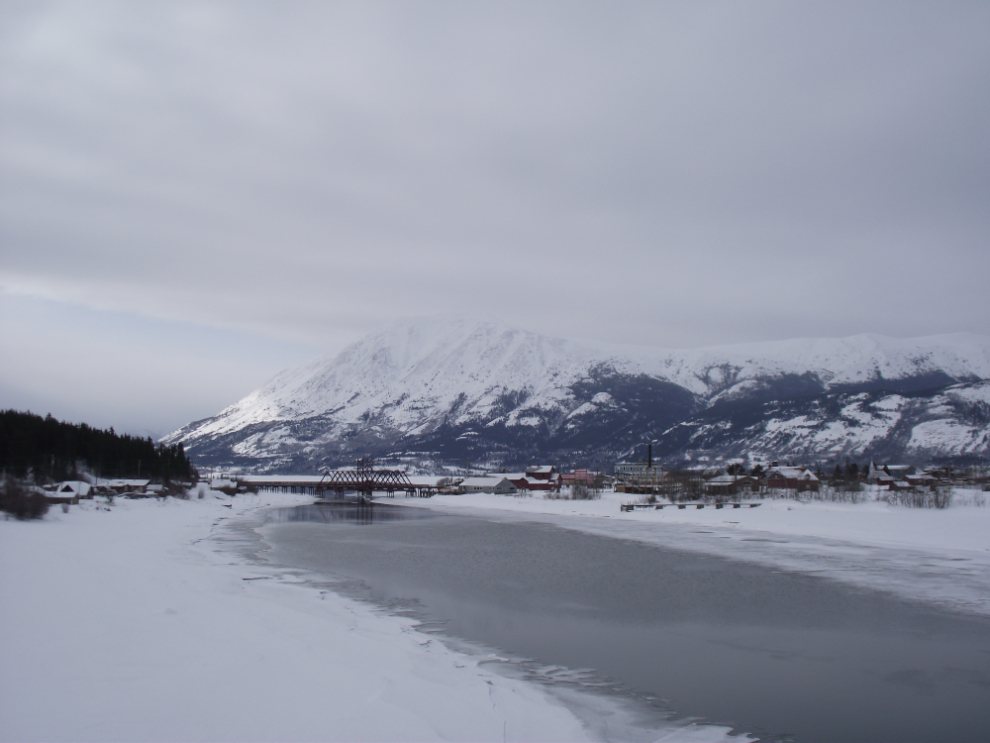
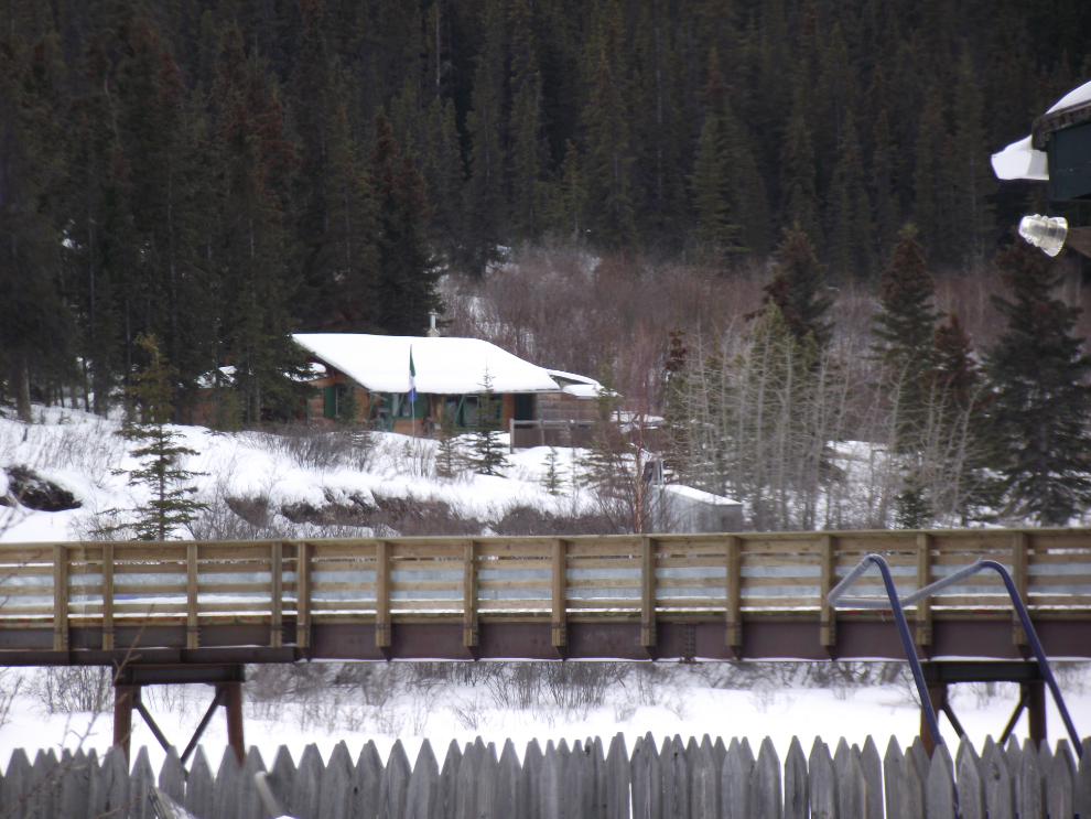
Carcross from the highway bridge over the Nares River.
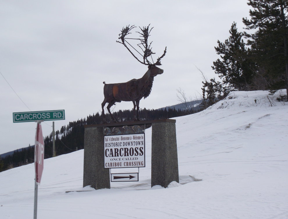
The new caribou statue pointing to downtown Carcross looks even better with the sign attached; “Welcome to Historic Downtown Carcross, once called Caribou Crossing”.
The cabin I lived in for 7 years looks pretty sad 🙁
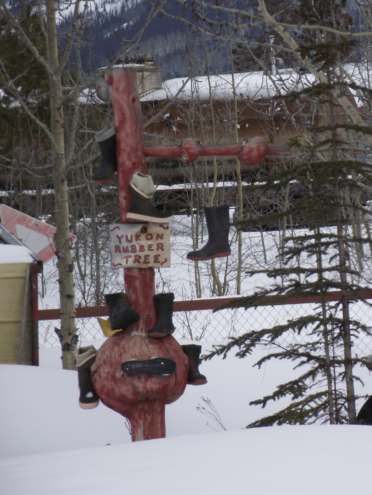
On a lighter note for the final photo, here’s the “Yukon rubber tree” at The Barracks gift shop.
That was a fine day even if the weather wasn’t what I’d hoped for. Another 75 photos and a half-dozen videos in the collection!