A husky day in the dunes and on the beach at Carcross
With the gorgeous days we’ve been having lately, I’m dying to get my huskies into the high country for some hiking. That’s weeks away yet, but yesterday we went to Carcross for some hiking/playing in the dune system and on the beach.
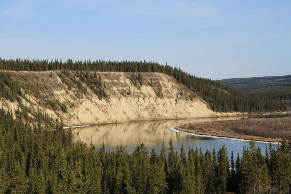
We were away from the house well before 09:00, taking the long way around via the Alaska Highway and Tagish Road rather than down the South Klondike Highway. The first photo stop was one of my regulars, overlooking the Yukon River just west of the Yukon River Bridge.
While there are some signs of Spring around, there’s no hint of it at Marsh Lake, which is still locked solidly in ice.
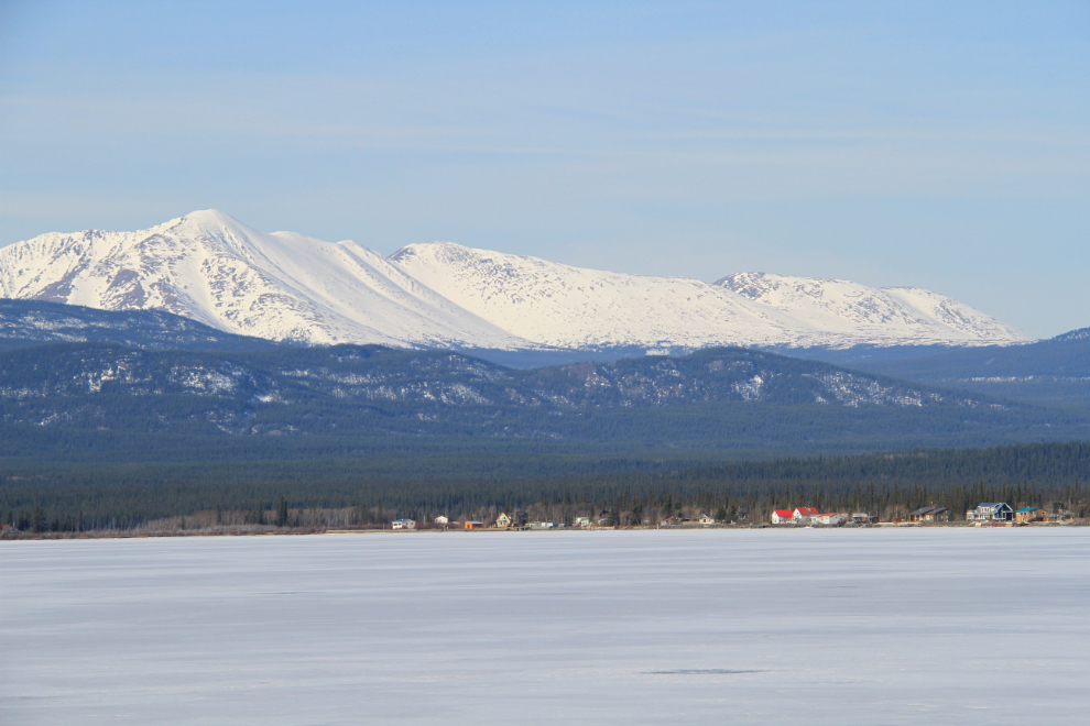
One of the reason for going this way was to get a few more photos for a guide to the Tagish Road, to add to my other Yukon & Alaska highway guides. This is looking west from Km 2 (measured from the junction with the Alaska Highway at Jake’s Corner).
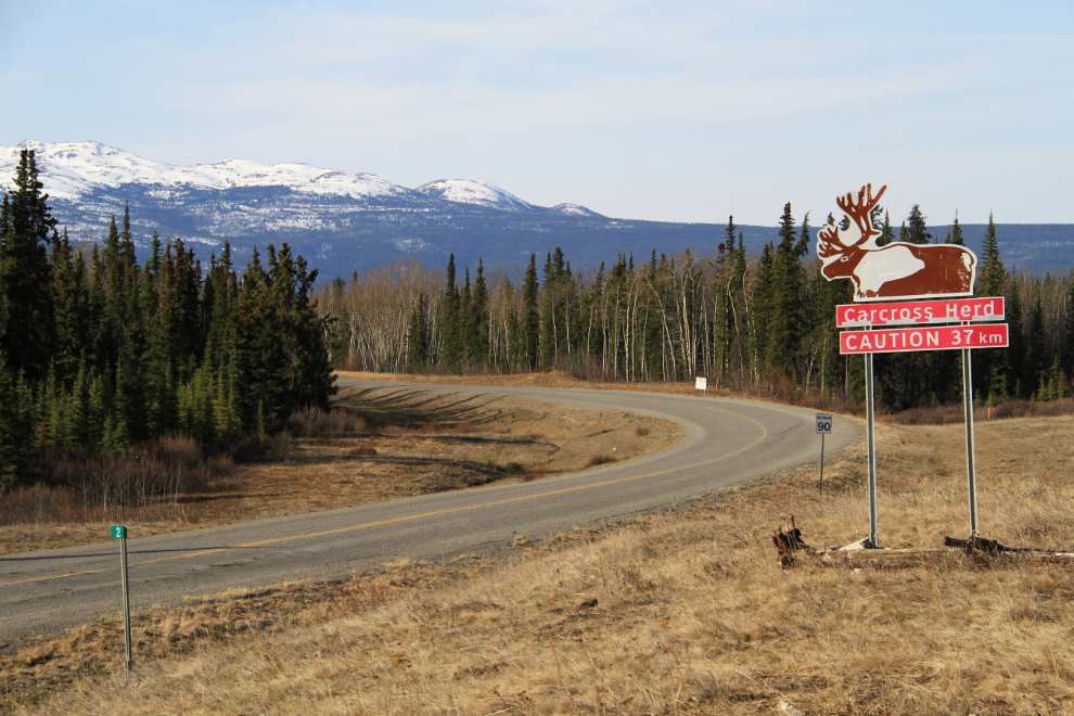
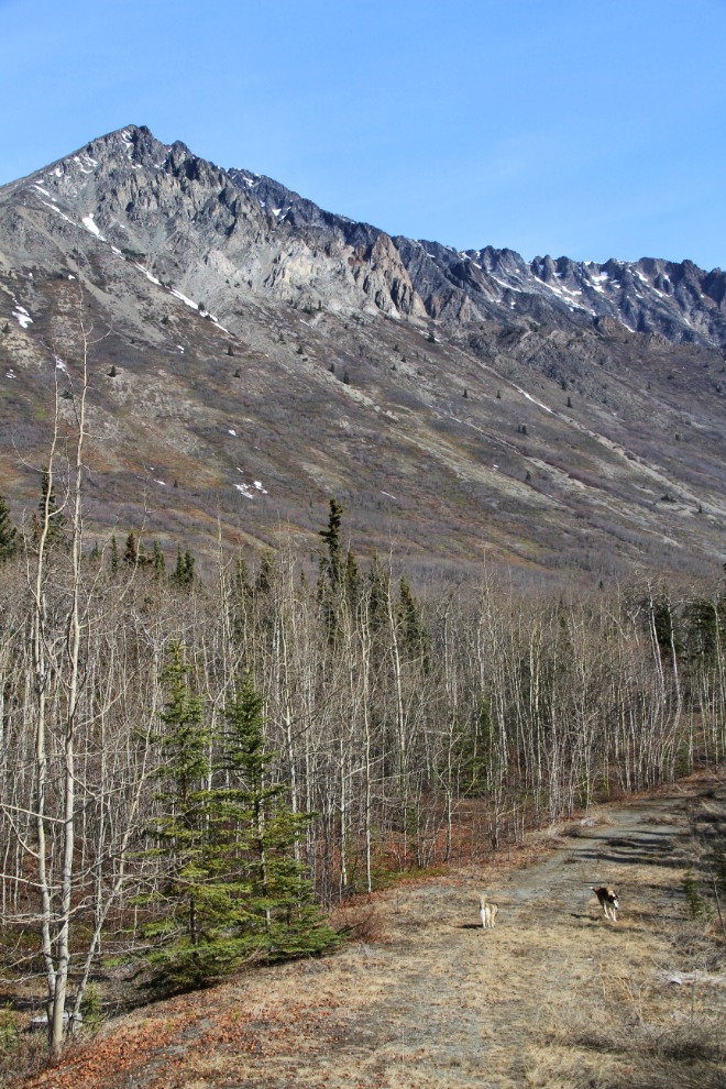
I made a lot of stops as well as one detour down Secret Valley Lane which I’d never been down, and my very patient fur-kids didn’t get their first run until 10:45, at the base of Caribou Mountain at Tagish Road Km 49.
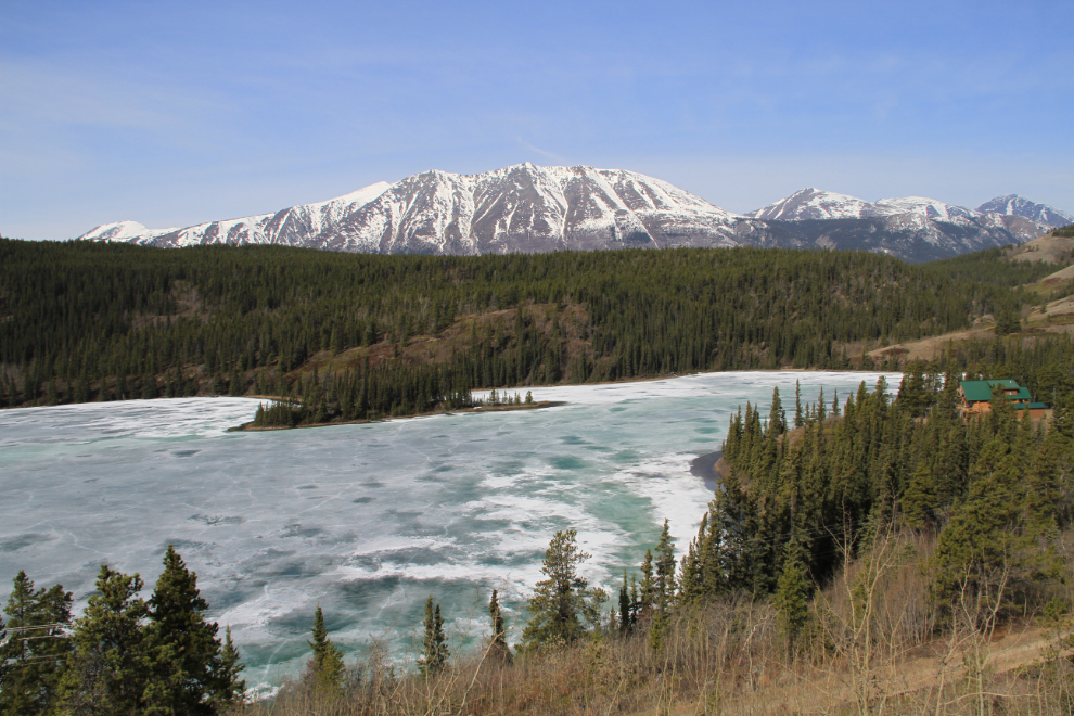
Once we reached Carcross, I made another detour, north to Emerald Lake, to see how the ice melt was progressing…
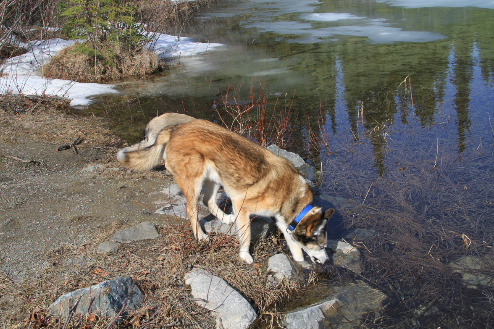
…and to give the dogs a drink.
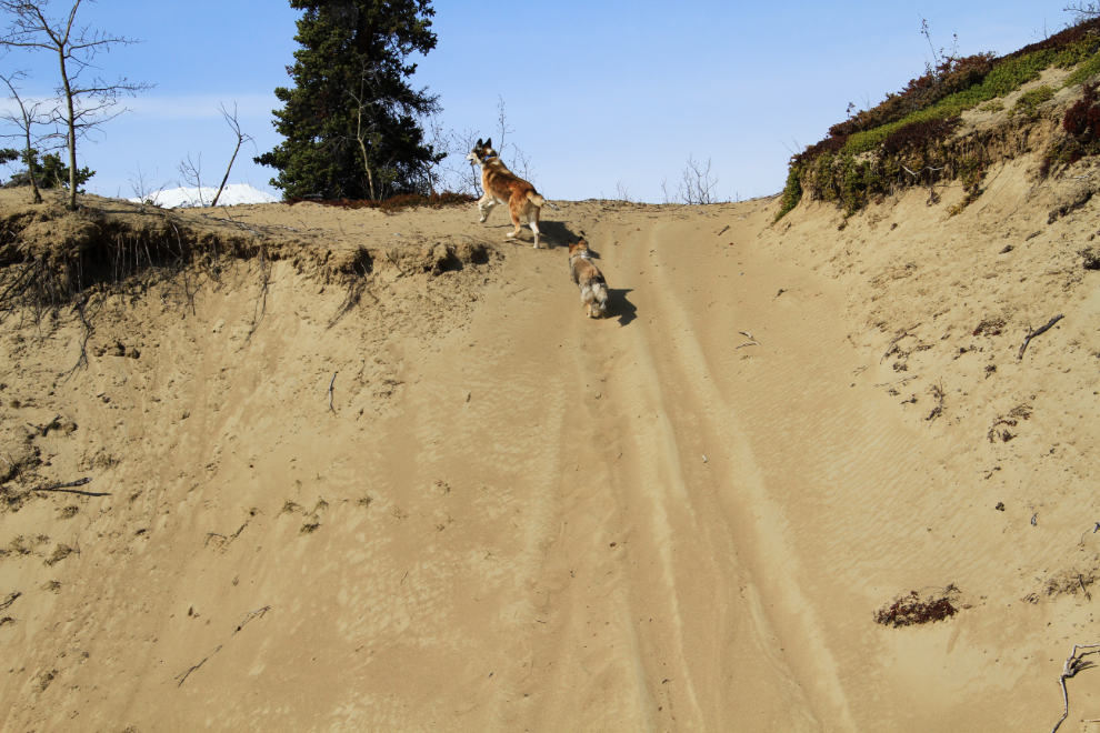
The easy way to access the huge beach at the north end of Lake Bennett is at downtown Carcross, but I drove about a half-mile into the dune system that’s most famous where it ends as the “Carcross Desert“. With a high-clearance vehicle you can drive right to the beach, but with my car it’s about a one-mile walk.
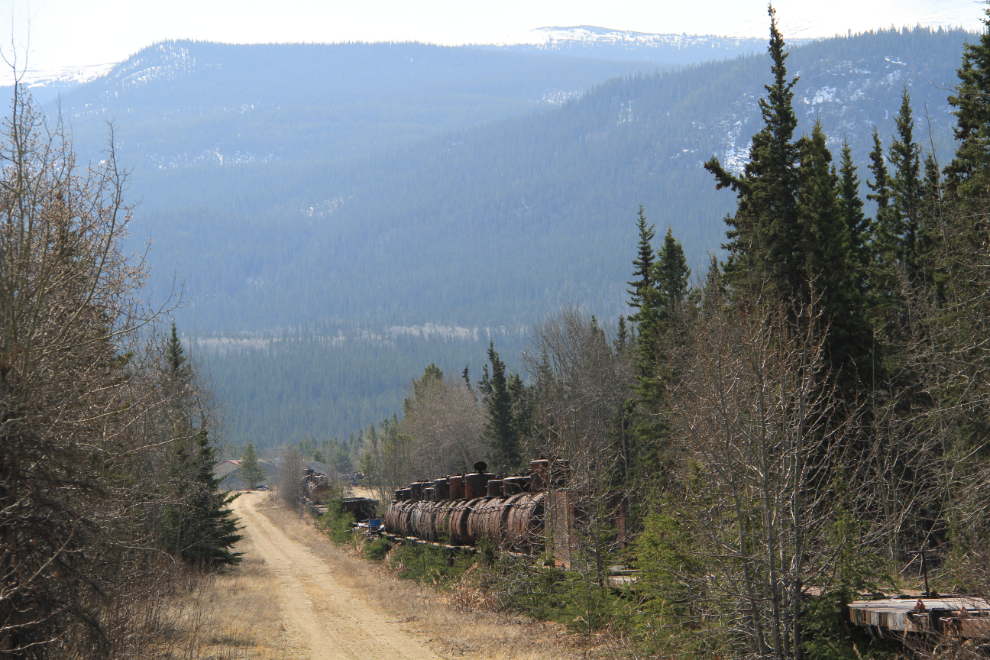
These stored/abandoned tank and flat cars (about 30 of them) are at what is now the end of the White Pass & Yukon Route railway line – once Mile 69 of a 112-mile-long line.
There is occasionally talk of putting the rail line from Carcross to Whitehorse back into service, but I’d bet a bunch of money that it will never happen. For freight, trucks run cheaper, and tourists are in too much of a hurry – to the south of Carcross it’s a successful tourist railway because it goes through spectacular country with no highway alongside most of its route.
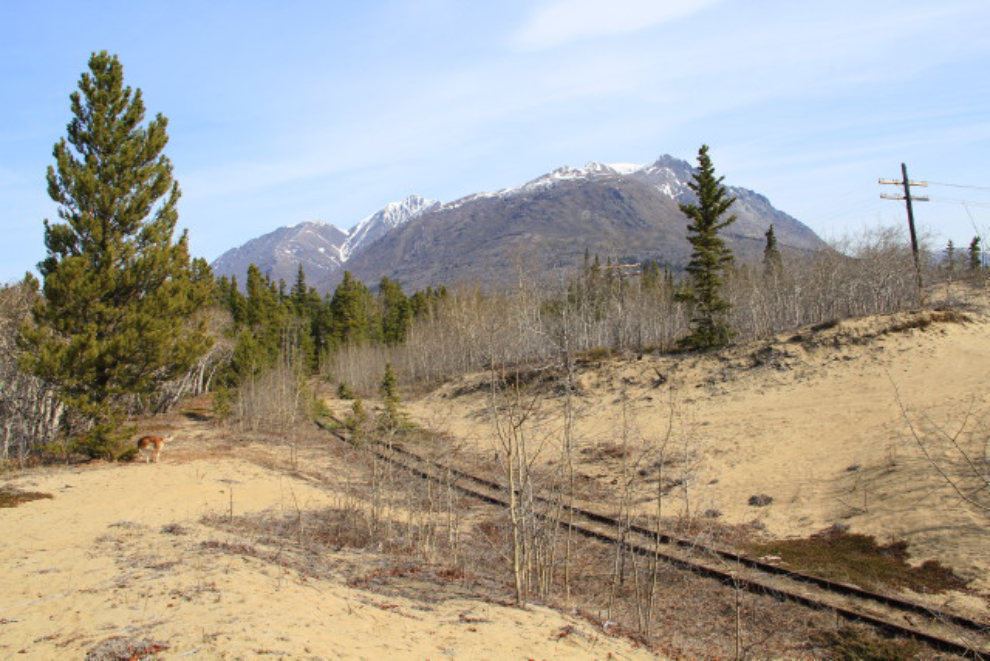
This photo nicely sums up my reasons for choosing this route.
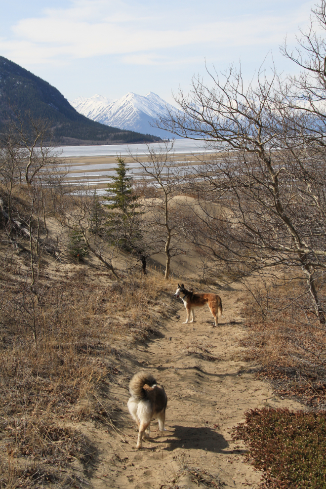
Husky Heaven 🙂
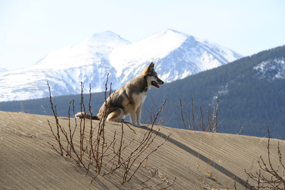
I often tell people what a difference Bella, our new puppy, has made in 12-year-old Monty’s life, but she added immeasurably to mine as well. I can’t begin to describe how happy it makes me to see them playing like this.
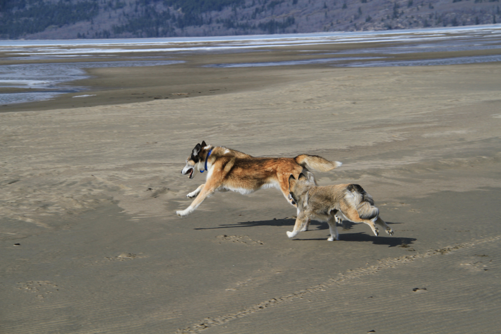
Monty is a wonderful teacher, as I expected he would be, and Bella is often obviously watching him to see what to do in situations that are new to her. Over the next few weeks, her world will be rapidly expanding as the melting snow lets us get into more and higher backcountry, and new plants start to appear.
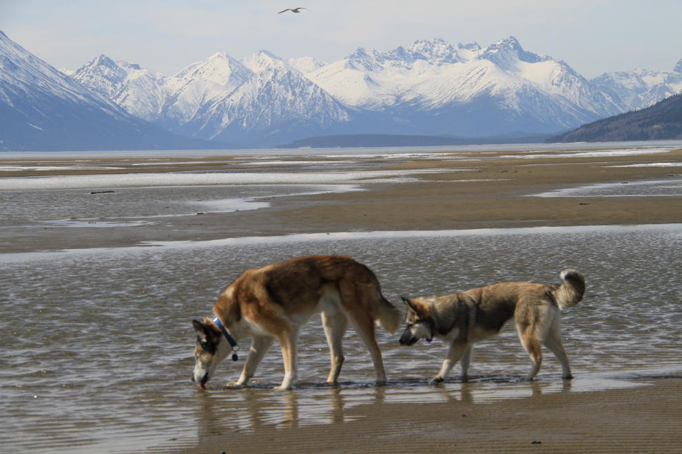
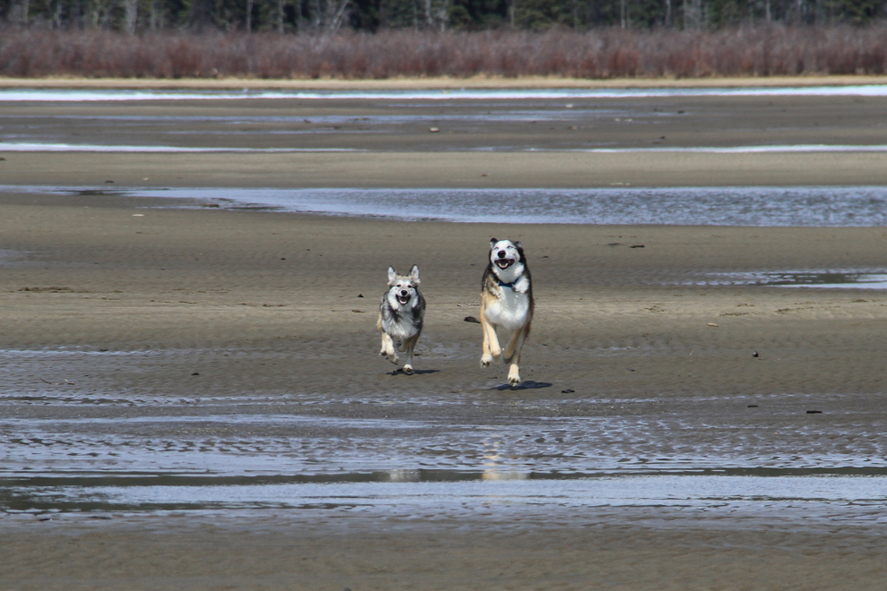
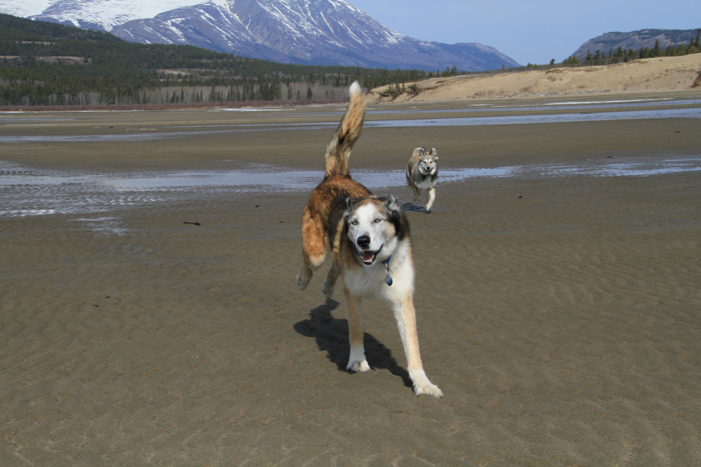
Although I was able to put on shorts and walk barefoot on the beach, there was a strong and icy wind blowing off those glaciers and snowfields up the lake, so a fleece jacket was needed.
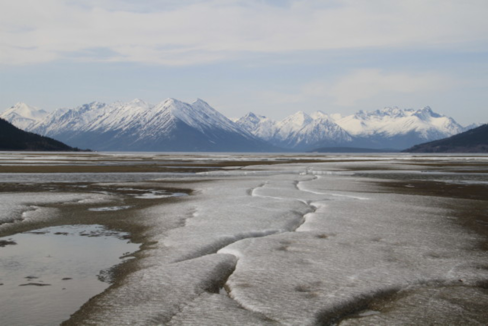
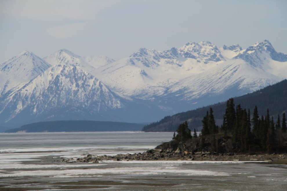
The 2-mile-long beach (of which we walked about half) ends at the mouth of the Watson River.
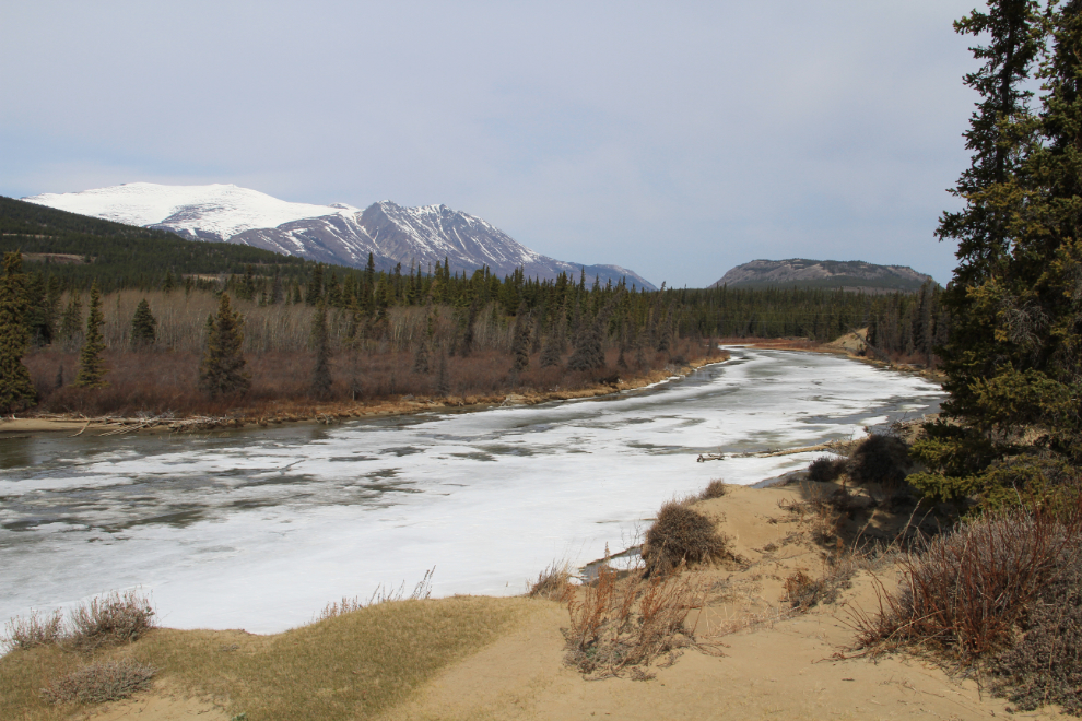
This is the view south on Lake Bennett from the same spot as the shot above.
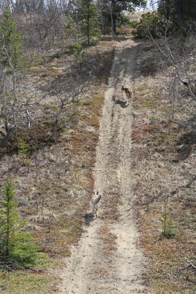
We took a very long, winding route back to the car, wandering up and down through the dunes. There are trails everywhere through them (perhaps 40 kilometers – 25 miles – of them), ranging from walking paths to ATV trails like this one, to vehicle accessible ones.
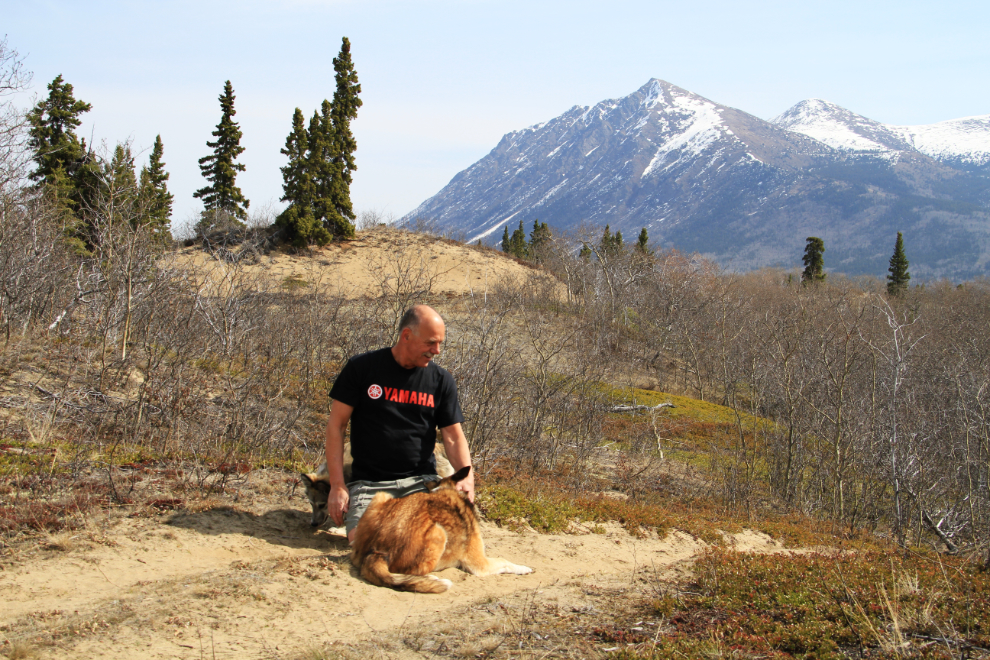
I tried a few times to get the kids to cooperate for a family portrait, but this is as close as I got to one 🙂
Just about when I thought that Bella must be exhausted, we met a friend and her dog, and away they went!
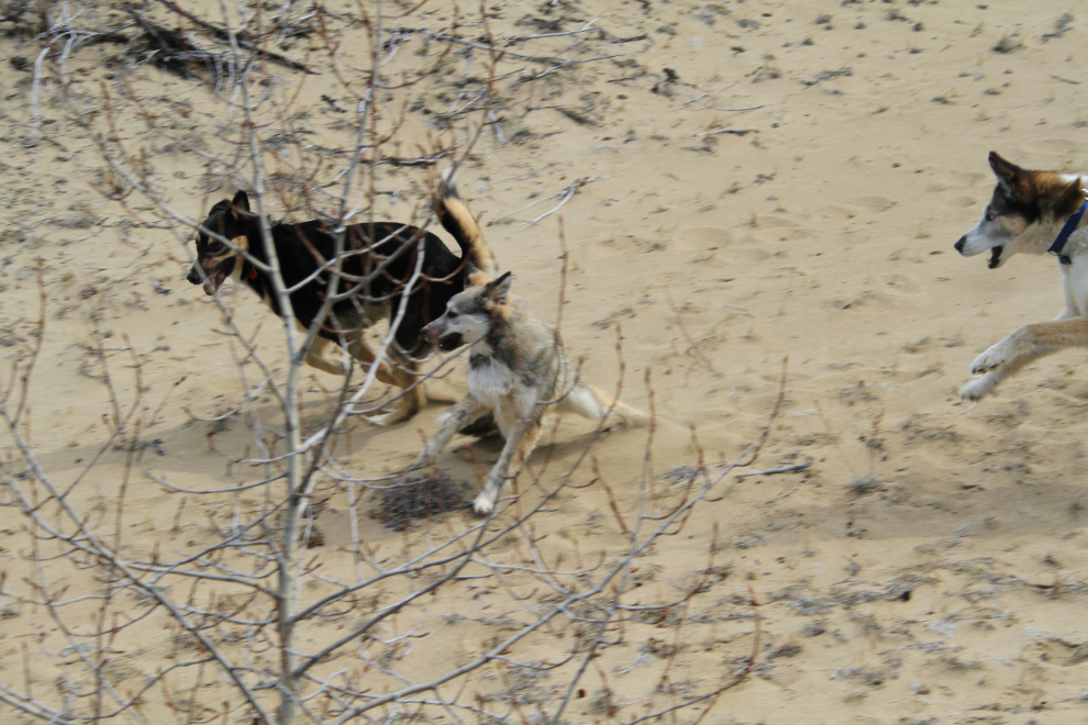
That was a great way to celebrate the fast-approaching hiking season, and gives me great confidence that my little girl will be game for pretty much anything. Come on Summer! 🙂