A 300-km day trip on the motorcycle
On Thursday (May 25th), I took the V-Star out for a wander, and it turned out to be an excellent day, despite the last hour of the 6-hour outing being in the rain.
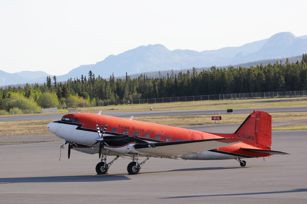
My day’s activities actually began at the Whitehorse airport. On Wednesday evening I had gone there to see an aircraft I’d only seen in magazines. C-GJKB is a Basler BT-67, a DC-3 with a lot of changes including turbine engines. It’s operated in the Arctic and Antarctic by Kenn Borek Air of Calgary, who have several of them. I returned the next morning hoping to catch the plane’s departure, but no luck. I improved on the previous night’s photos for my aircraft portrait series, though 🙂
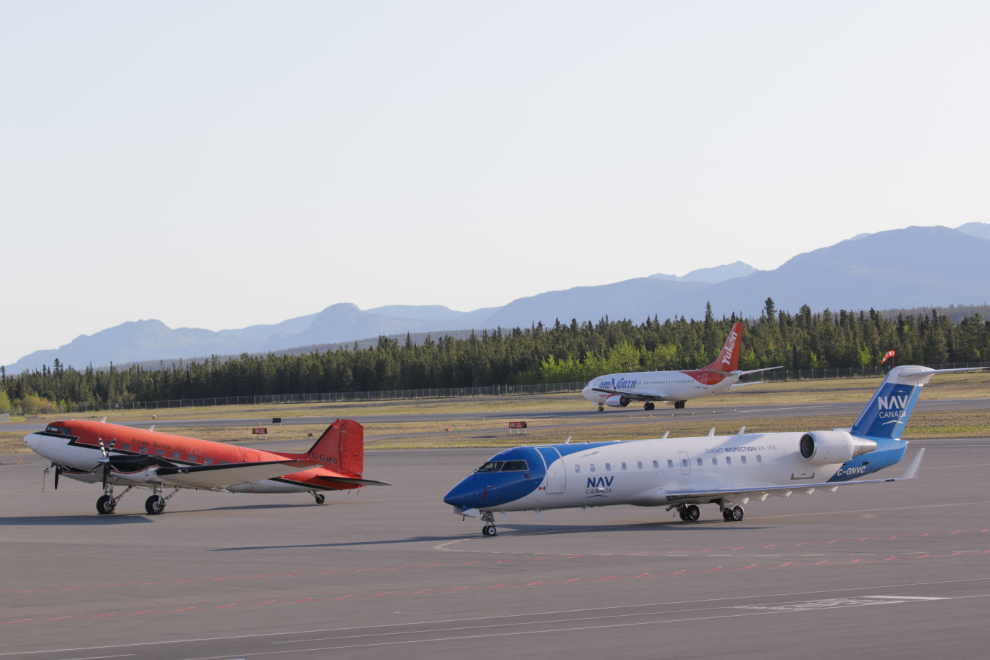
It was nice to be able to add some action to the static ramp photos. The aircraft on the right, C-GNVC, is a 2001 Bombardier CL-600 that Nav Canada uses to check out navigation and instrument landing systems at airports across the country.
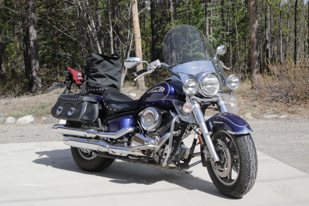
By 11:00 I was geared up and ready to hit the road. The weather forecast called for increased cloudiness with a 40% chance of showers in the afternoon, and a high temperature of 15°C/59°F.
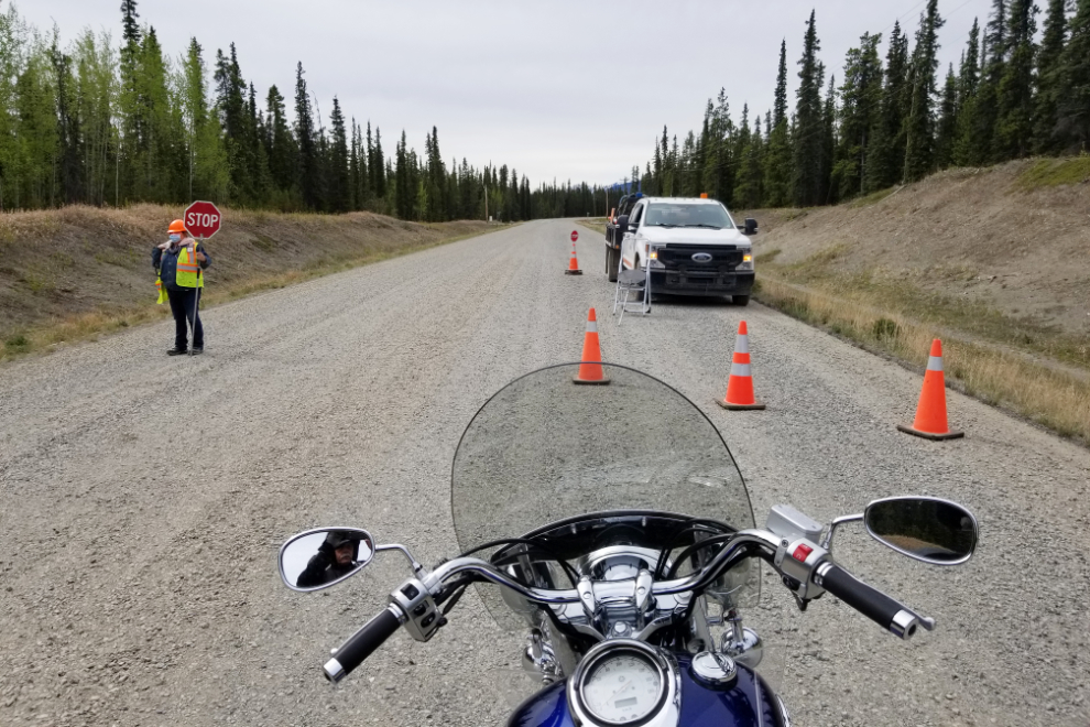
I knew from my drive to Carcross a few days before that there would be construction, and I reached it just a few k down the South Klondike Highway. The flagperson laughed that this was the first time she got to use her new sign to bring motorcycles up to the front of the line. It was quite a lengthy delay but the gravel section wasn’t very long – a few hundred meters – as their day was just getting started. These big bikes are not made for gravel, and though I don’t choose routes to avoid it, I don’t like riding on it.
Carcross was my first stop – the historic Matthew Watson General Store specifically. As I was looking at window displays, a fellow I spent a lot of time with when I lived in the community walked up and introduced himself (having read about my memory loss), and we had a wonderful long chat. I seem to be recovering some memories – or memory fragments, I suppose – as they get triggered by various things. When I looked at this photo, I recalled that I spent a lot of time on those benches, just sitting there talking to people. It was an easy place to initiate conversations.
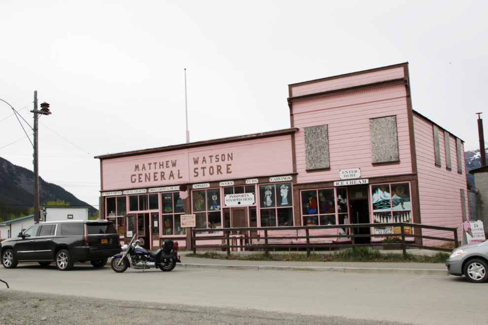
Tourism in Carcross is rather unique because of the large number of people who make quick stops there on tour from Skagway, where they arrived on cruise ships. Those visitors have time to visit one, perhaps two, of the many stores there before boarding their buses and continuing on. People with rental cars typically stay longer, those with RVs longer still, but only locals have unlimited time to browse shops, get a coffee and pastry, or have lunch at The Bistro on Bennett.
The little steam locomotive in the next photo has been on display in downtown Carcross since 1936. Baldwin Locomotive Works manufactured the Duchess in 1878 for a Vancouver Island coal mining company, then she was brought north in 1900 and spent 20 years on the 4-km-long rail line between Tagish Lake and Atlin Lake.
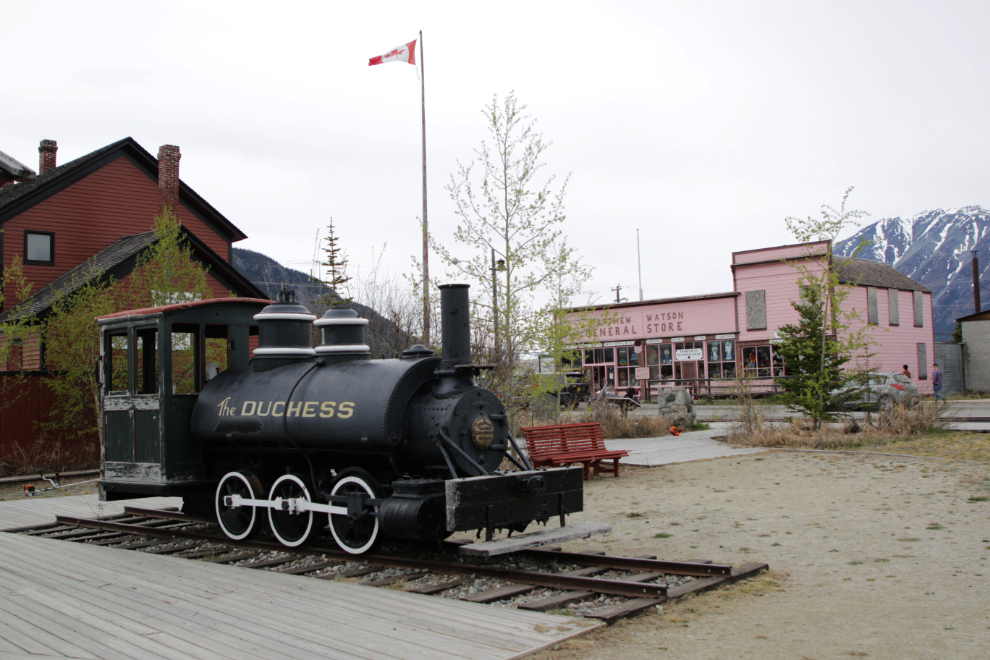
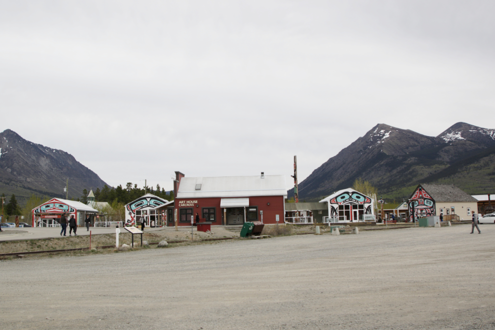
From the two main parking areas, visitors go one of two directions – towards the Matthew Watson store and Lake Bennett, or to the Carcross Commons, a village of little shops anchored by a lovely little coffee shop year-round, and by the Visitor Centre in the summer.
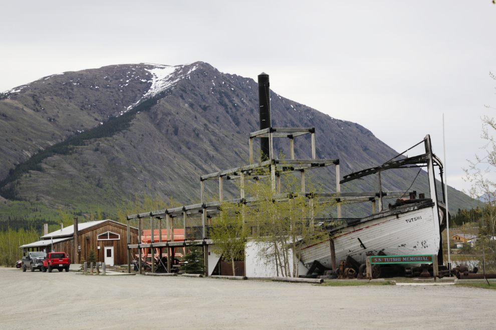
The main pieces of the sternwheeler Tutshi, which was built in 1917 and burned on July 25, 1990, was used as the base for a viewing deck.
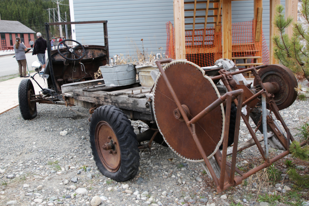
The ingenuity of the oldtimers – turning a truck into a sawmill. This relic is sitting beside the Caribou Hotel.
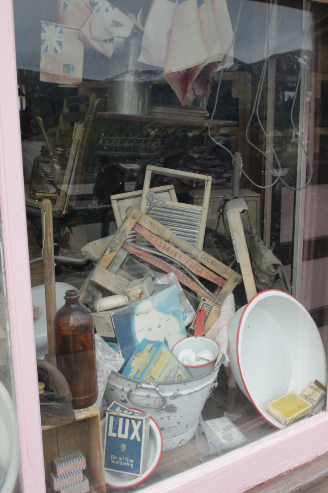
With the flurry of activity at the store over, I went back for some more photos and chit-chat. In its heyday, the Matthew Watson store was a classic “if we don’t have it, you don’t need it” store, and some of the historical displays give a glimpse at that.
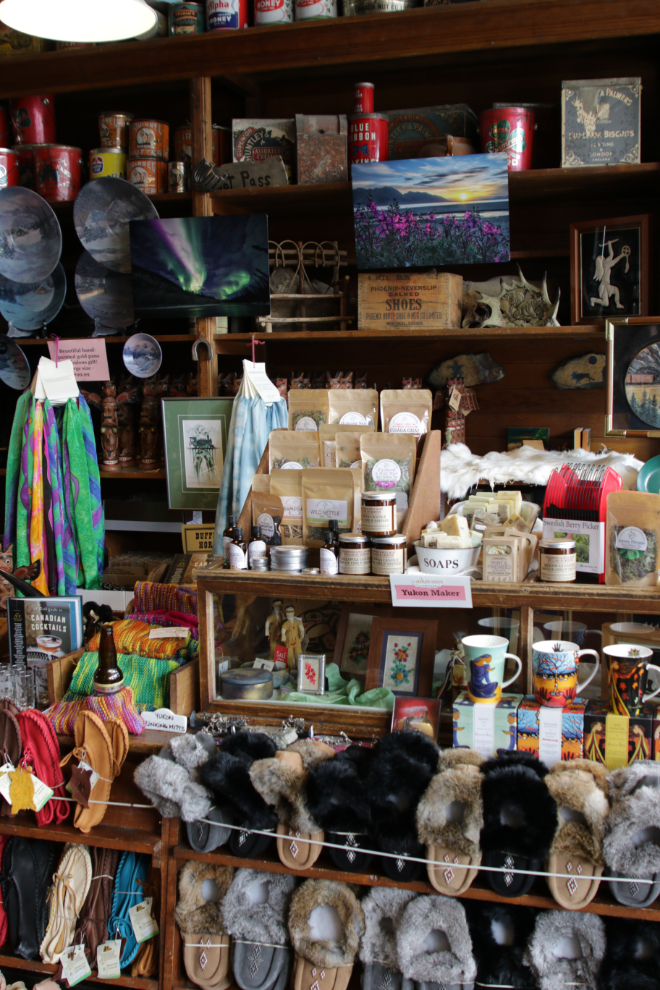
Inside the store, historic items share space with a wide array of the things today’s tourist is looking for.
I spent almost an hour in Carcross, and by the time I got back on the bike I really felt good about the re-connection with a community that for a few years I said I would never leave.
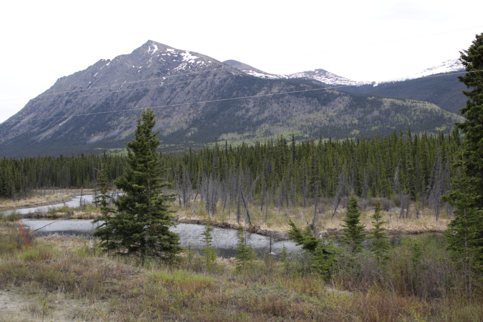
I next headed east on the Tagish Road. When I reached the Alaska Highway in about 45 minutes I would decide whether to go east, or head back home. The first part of the Tagish Road is very scenic as it passes between Caribou Mountain and Nares Mountain – that’s Caribou Mountain in the next photo.
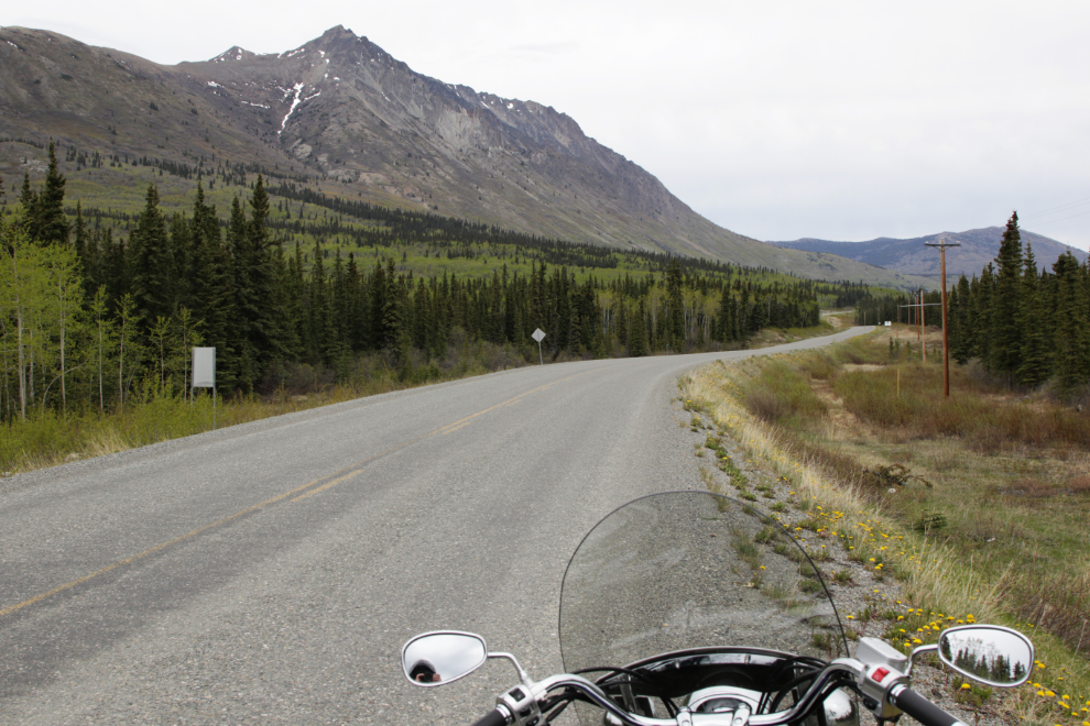
This lovely spot is right at the Km 52 signpost. Some days I’m ambitious enough to go for a bit of a walk to get those wires out of the photo – this wasn’t one of those days 🙂
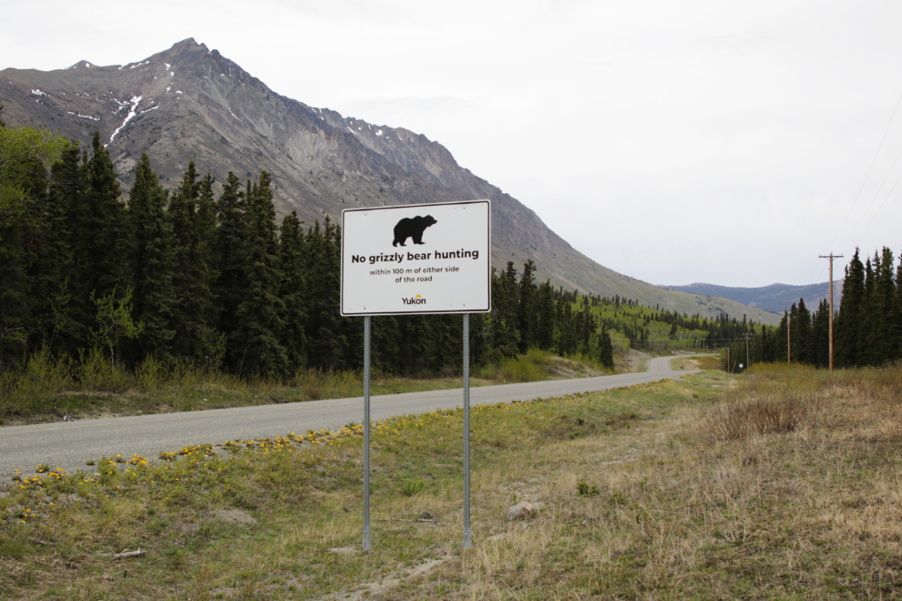
The sign says “No grizzly bear hunting within 100 m of either side of the road.” This is a fairly new regulation, brought about by outrage over the murder of bears that had become popular local residents.
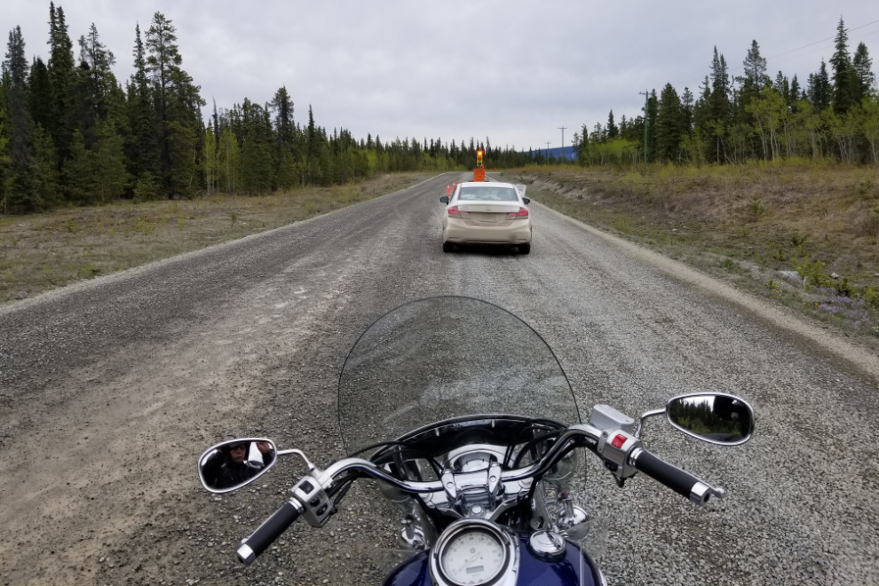
I hadn’t expected this construction west of Tagish, and both the delay and the gravel were lengthy – at least half an hour, and several kilometers, much of it watered. Note that it’s un-manned – sitting at a stoplight in the middle of nowhere, with the vehicle ahead of me the only one, for half an hour, requires a lot of faith that the system works! 🙂
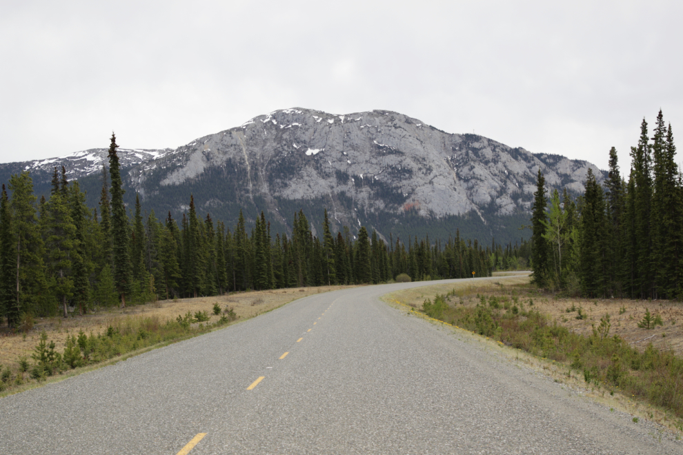
The next photo was shot right at the Km 4 signpost. That’s White Mountain ahead.
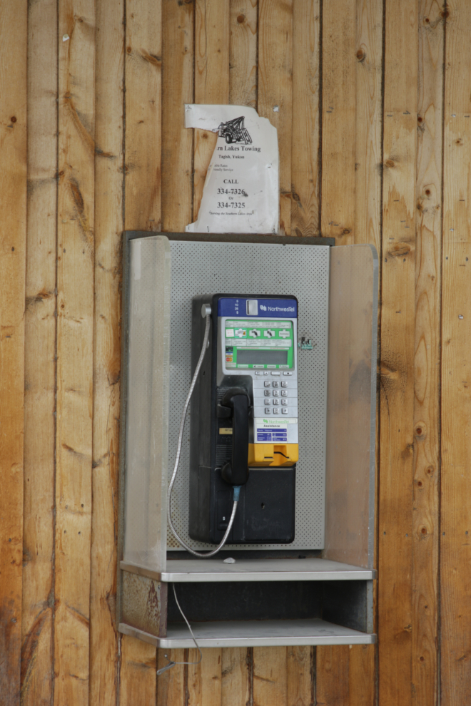
For some reason, I noticed that the sign for Jake’s Corner, a lodge at the junction of the Tagish Road and Alaska Highway, now had only two services noted – Gas and Phone. Phone?? So I stopped to get a photo of that artifact on the wall of the lodge, which has been closed for a few (5?) years.
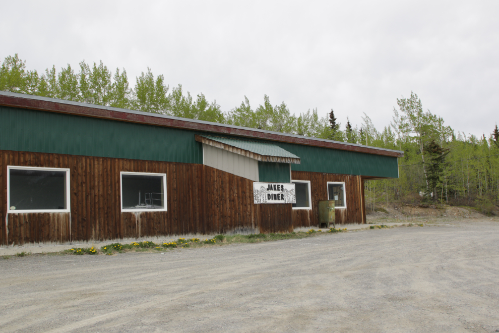
The last incarnation of Jake’s Diner was an excellent cafe, and I sure wish somebody would give it another try, even as just a summer operation. The fuel pumps are fully automated and un-manned.
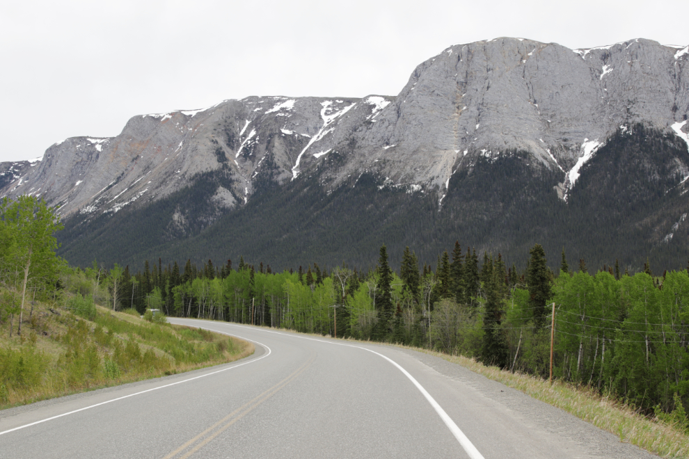
I decided to turn to the right on the Alaska Highway and ride another 53 km to the Canol Road rest area. That’s another view of White Mountain.
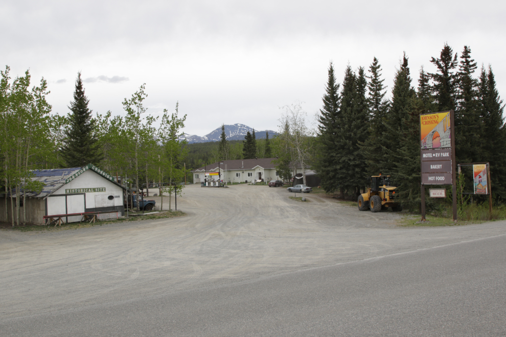
I pulled over on the side of the highway across from the Johnson’s Crossing lodge, but decided to go to the rest area first, then return to top up my gas tank and perhaps get a pastry.
The attraction at the rest area for me is the WWII-era trucks from when both the Alaska Highway and Canol Road were built. I rode the bike up beside a couple of the trucks…
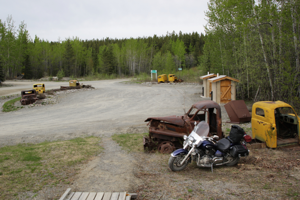
…and shot a couple of selfies.
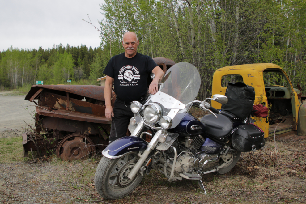
Heading towards home, the stop at Johnson’s Crossing was excellent – $19 worth of gas and a big cinnamon bun to keep me going. I used to know how many kilometers I could get on a tank (there’s no gauge) – I need to figure that out again…
About 2/3 of the way back to Jake’s Corner, the forecast 40% chance of showers became 100%, and looked like it might be more than showers.
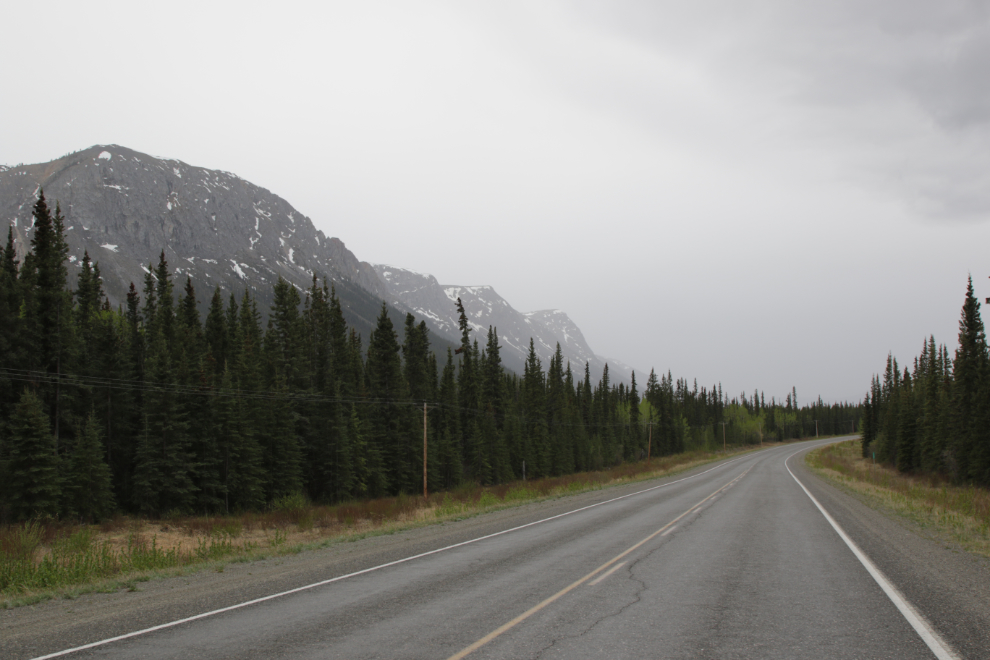
Yes, I got steady rain, sometimes quite heavy, for the hour it took me to get home. No big deal – my regular armoured leathers aren’t water-proof but they are water-resistant.
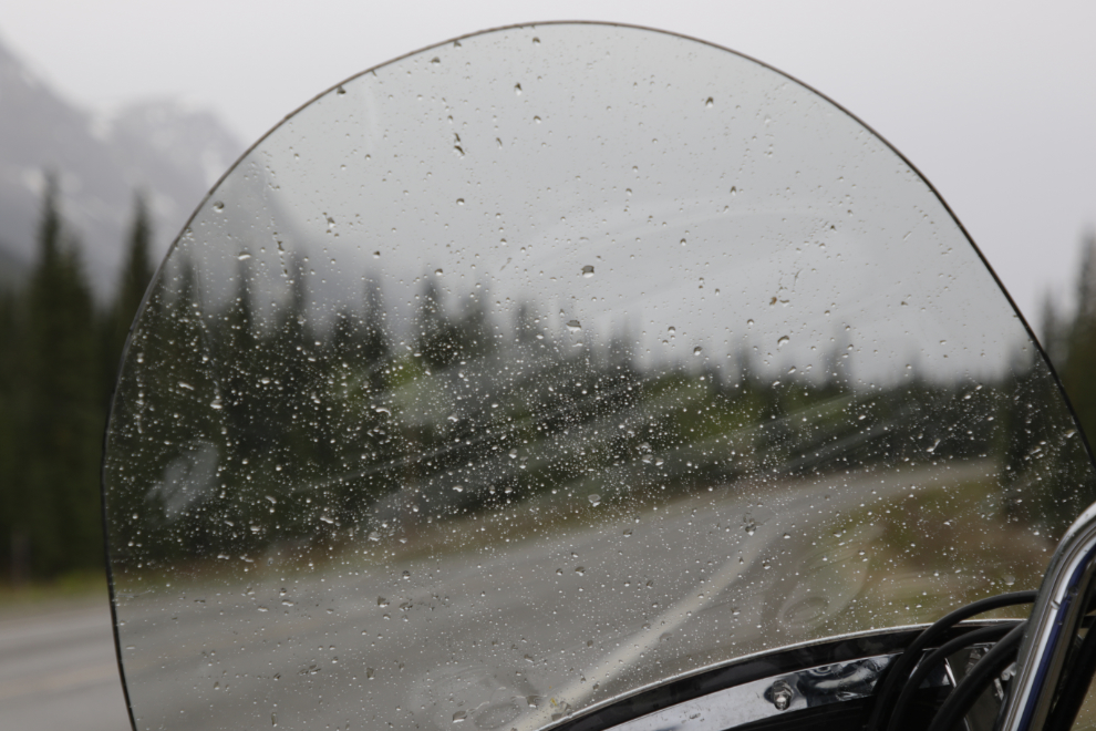
I got home just after 5:00 pm, and a soak in the hot tub completed that outing. Being able to keep going for 6 hours felt great, and has me feeling pretty positive about what I might be able to do for the rest of the summer.

About 1 minute after I wrote that I realized that I would have enjoyed finding your routes on a map, even online… which would have raised more questions about the temps, elevations, coastal range trapping more snow, etc. I’ll look forward to that next post in any case; I don’t tire of the mountain range photos – I think it is in my blood from being raised in the high Sierra.
I think I had recently wonder aloud about your first bike ride of the season and there you went! Getting a good layer of grime on the bike too… but you had fun and came out of the day trip in good shape! Fantastic. Has the snow melted so much from the last two posts or is it more that your road elevation and where you were is just that much different in the advanced season (the relative lack of snow compared to…) than the post from the Klondike high way outing?
I was just at much lower elevations this time. I’ll be back in the White Pass soon – possibly on Thursday – and am curious about how much white stuff remains. I expect it’s a lot.