Fossils at Shelter Point and whales at Saint Vincent’s
Although we began Wednesday, July 1st, Day 34 of our trip and the 27th day in Newfoundland, with no plans, we had a very good day at a UNESCO World Heritage Site interpretive centre and then watching humpback whales from a vast beach.
We had a peaceful night boondocking at Ferryland, and the light in the morning was wonderful.
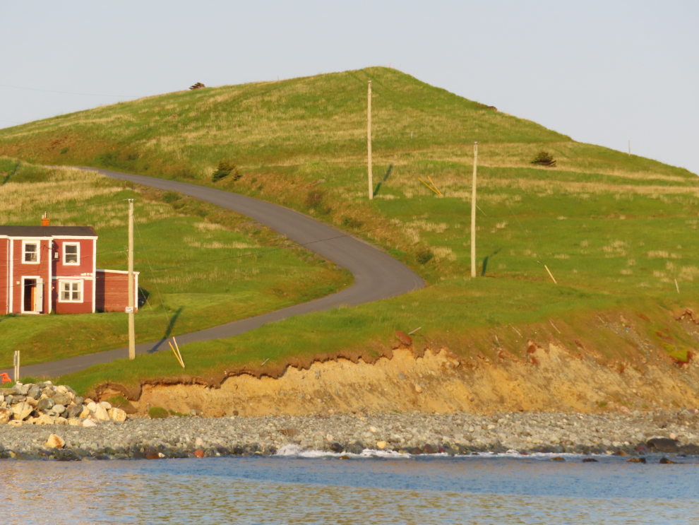
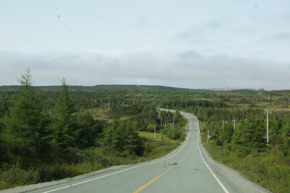
Except for the fact that there are no places to pull off and stop, Route 10 is my favourite type of highway to wander and explore along. We were now in an area with little traffic, and the road wanders around and up and down, with lots of variety of terrain. Cathy shot this photo just north of Fermeuse – there are five wind turbines visible on the ridge ahead.
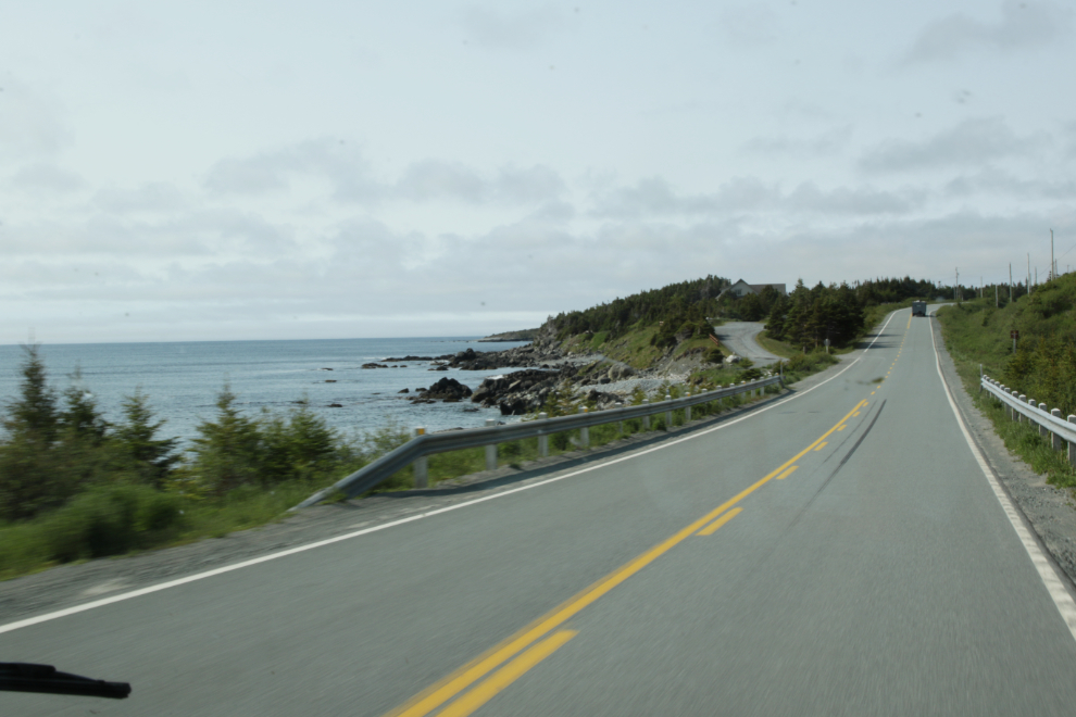
There are a few enticing encounters with the sea along Route 10.
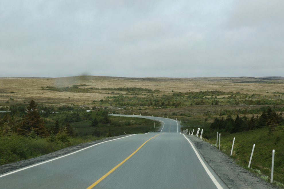
We went through a vast area that could have been in the Arctic, with quite a few cabins scattered along the highway – hunting cabins, by the looks of most. I hadn’t expected this terrain in Newfoundland, and there’s a lot of it in many areas.
I wanted to see the lighthouse at Cape Race, 75 km south of Ferryland, but Cathy was balking at that because some reports say the 19-km-long road from the highway is bad. Getting close to that junction, though, I was extremely surprised to discover the interpretive centre for Mistaken Point, a UNESCO World Heritage Site. It became our next stop and we would soon learn that this is where 565-million-year-old Ediacaran fossils – the world’s largest and oldest collection of biologically complex marine life fossils – were discovered in 1967.
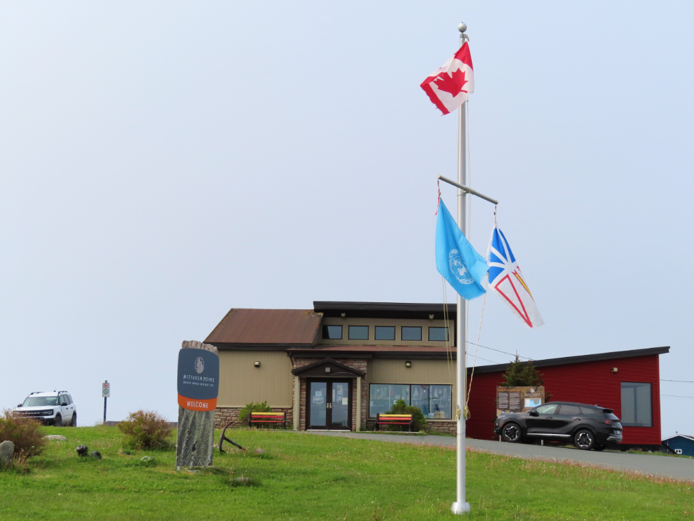
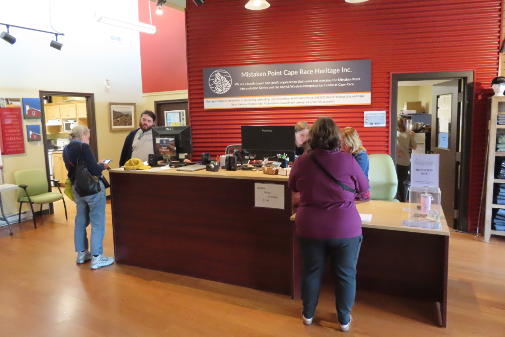
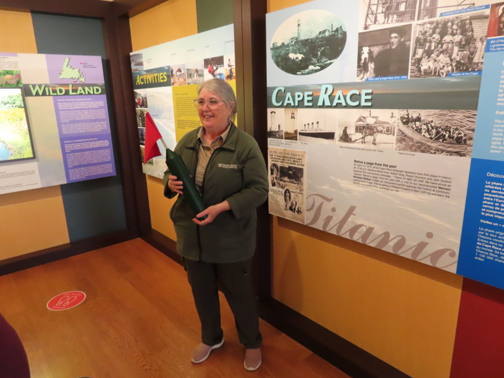
The fossil site can only be visited on a tour – they’re 3½-4 hours long and only cost $23, but they book up long is advance, so that wasn’t an option. The interpretive centre displays are very good, though, and we added on a guided tour of the displays – the centre is operated by a local non-profit.
This is a cast fiberglass replica of a section of the fossil site – the detail they were able to get is quite astonishing.
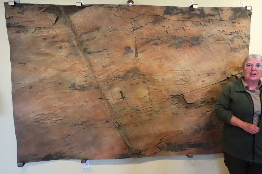
This site wasn’t discovered until 1967, and what has been seen so far is only a small faction of what must be there hidden under other layers of rock. There is so much we don’t know yet about the earth…
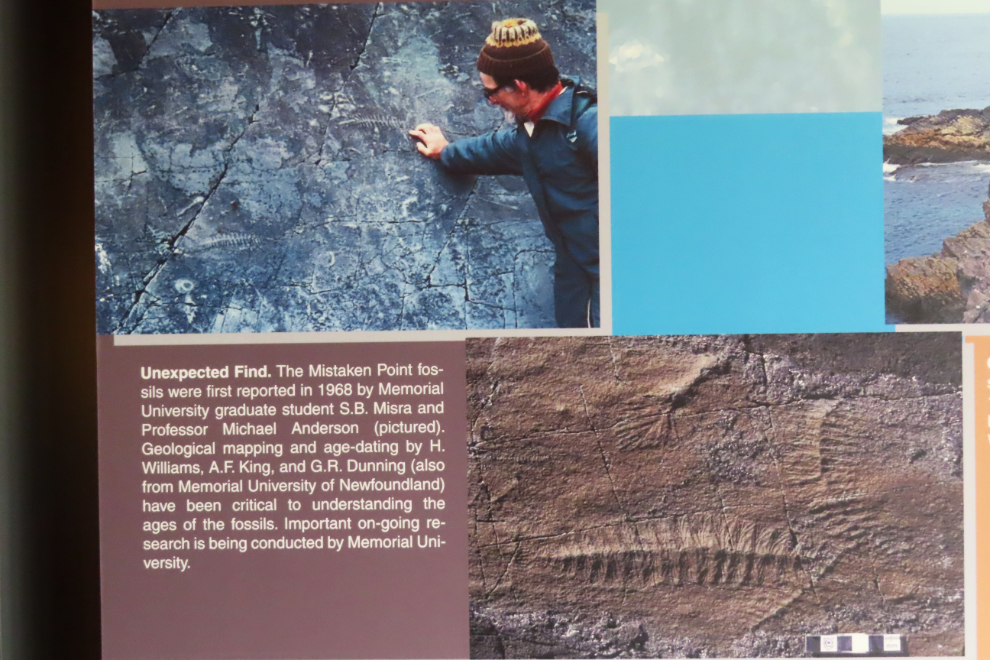
Our guide was very good, and as a resident of the community here, Portugal Cove South, had lots of stories beyond what the panels explain.
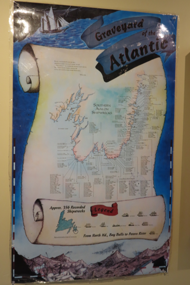
The number of shipwrecks along the southern and southeastern Avalon Peninsula (356 of them) is quite shocking.
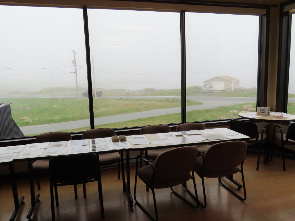
By the end of that tour I was determined to drive out to Cape Race, to see not only the lighthouse but also the Myrick Wireless Interpretation Centre, where the first news of the Titanic tragedy was received, and the coast near the fossil site. The weather wasn’t at all encouraging, though.
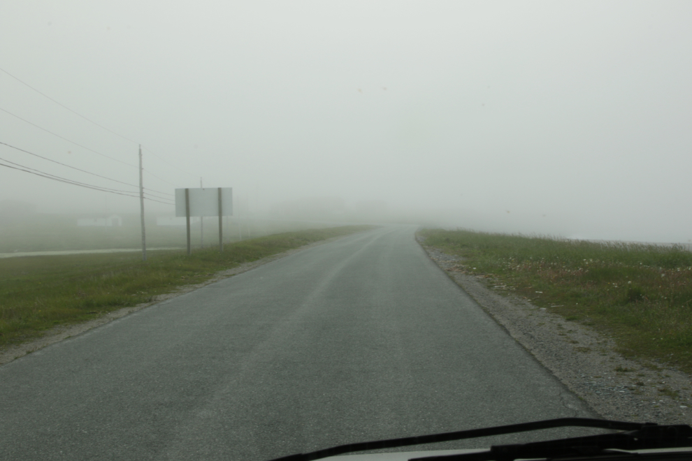
The fog got thicker as we started down the Cape Race road, but I was optimistic that it would clear.
Within a mile or so it did indeed start to clear 🙂
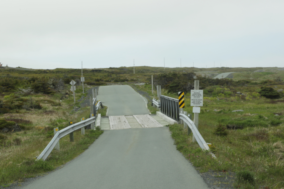
The road near the fossil site has many signs about the site being protected.
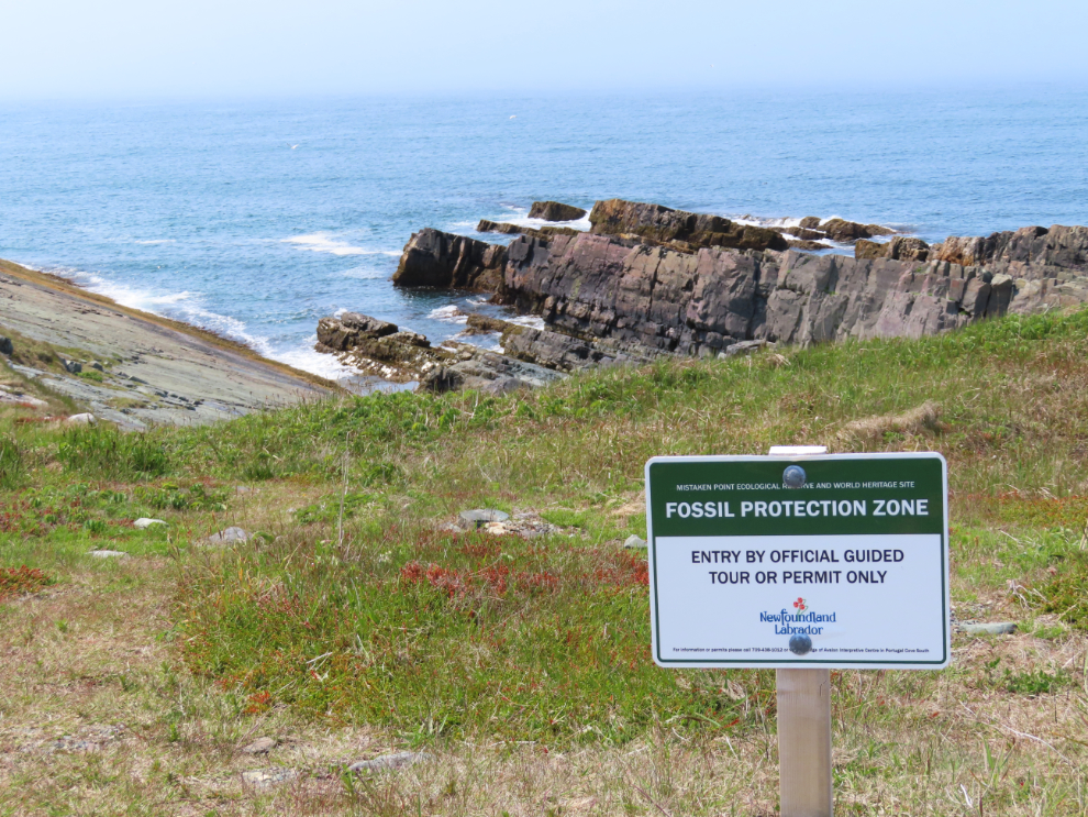
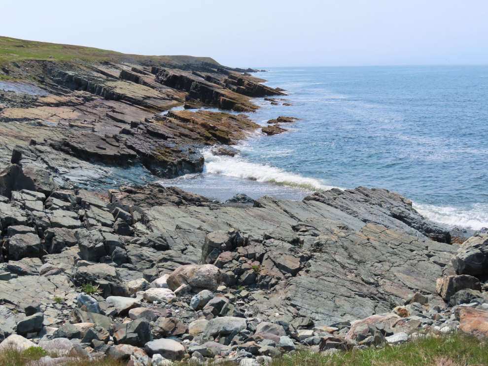
There – now I knew exactly what the fossil site looks like, feels like.
As I was out getting those last two photos, Cathy found a message on Facebook that two humpback whales were currently close to the beach at Saint Vincent’s, just 50 km south. Whales, and the viewing at Saint Vincent’s specifically, had been a high focus since Cathy started putting this trip together over a year ago, so I simply turned the RV around. This was Portugal Cove South as we drove back to the highway, now on our way to Saint Vincent’s with no more delays.
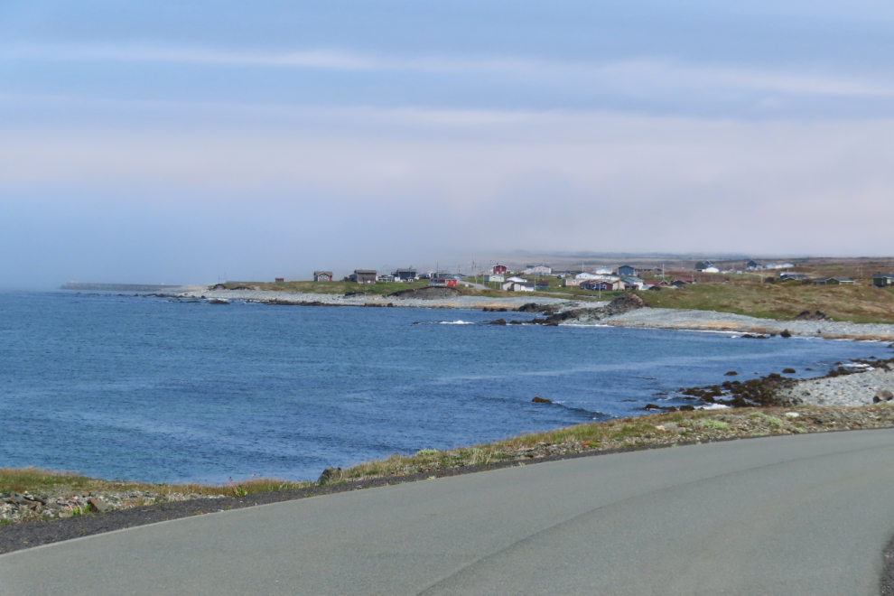
Approaching Peter’s River – Saint Vincent’s is at the farthest end of the bay.
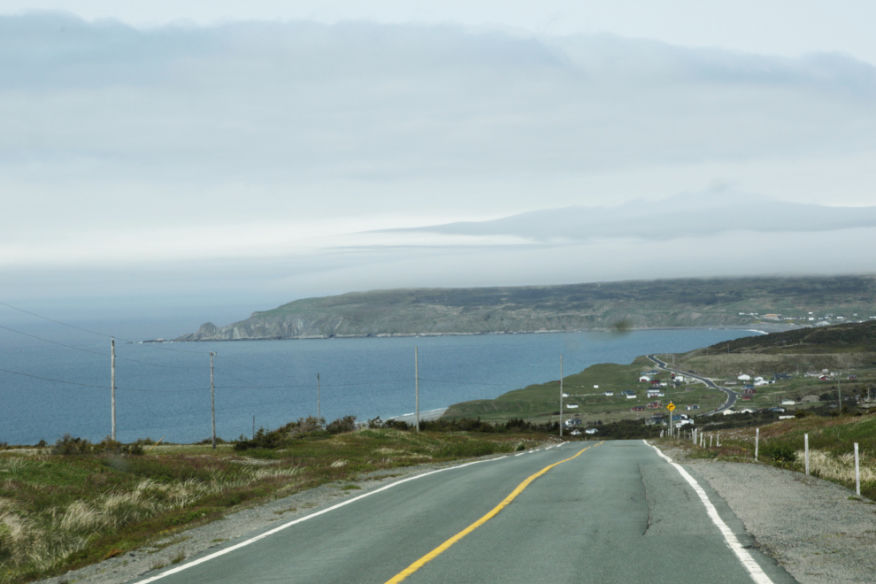
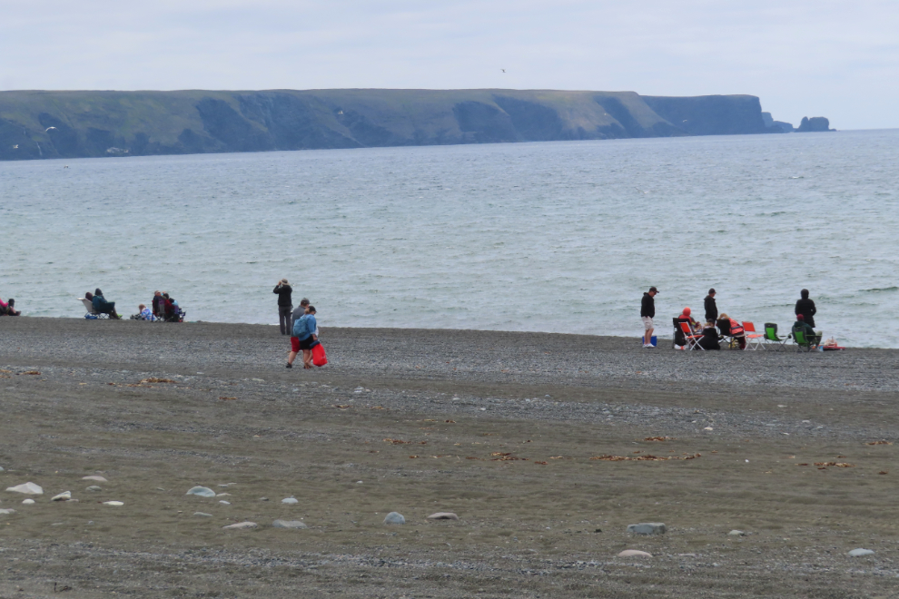
Our first look at Saint Vincent’s, with lots of people on the beach and a full parking lot. The beach was much larger than even Cathy had expected.
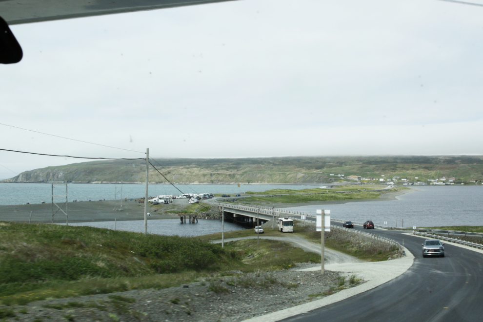
I drove up to the far end of the beach where there’s another parking lot but it was also full, so I found a solid-looking section of the shoulder and parked there.
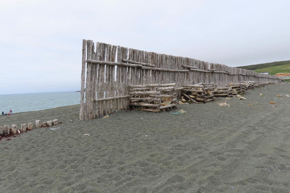
Much of this end of the beach has a wooden wall. I expect it was an unsuccessful attempt to keep driftwood off the road during high seas.
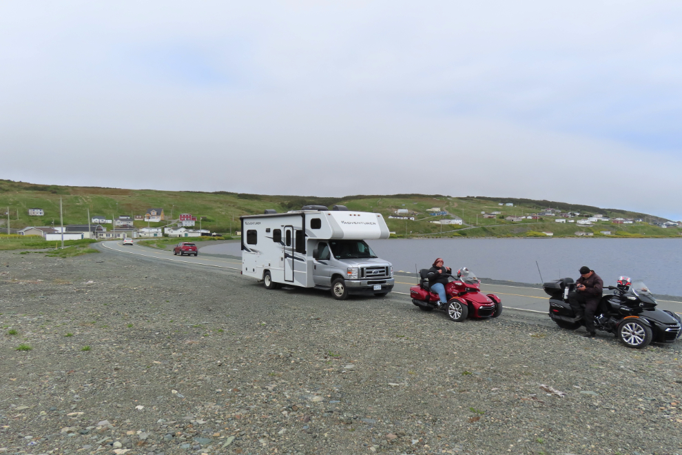
There were no whales at this end yet, but there were quite a few people waiting.
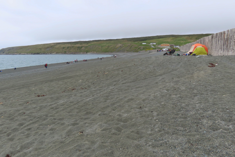
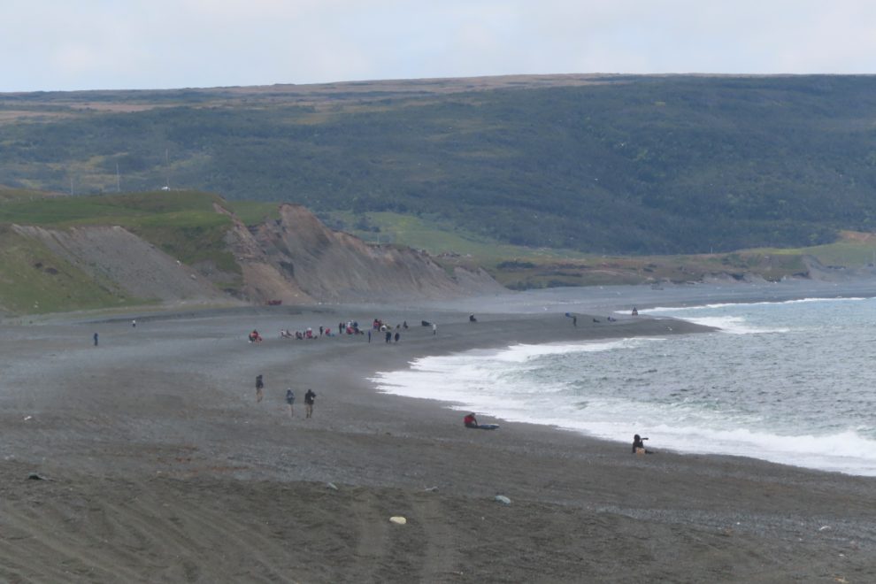
There was a more concentrated group of people at the end of the beach we arrived at. Perhaps they were having luck.
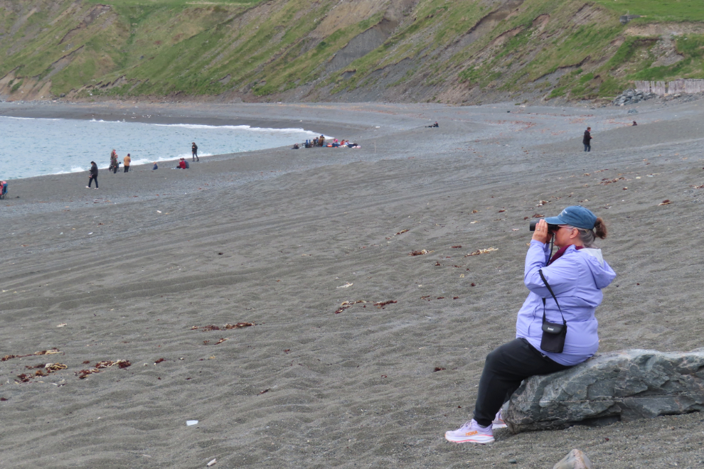
Cathy found a comfortable rock and settled into her happy place for the long haul.
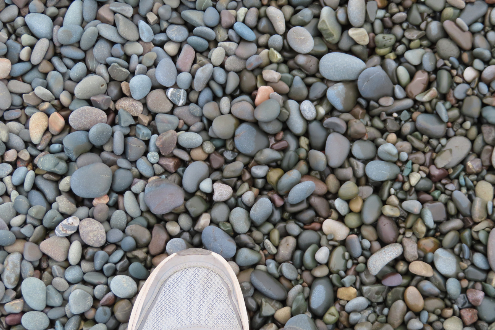
I’m not good at sitting still, so went for a walk. This beach is not easy to walk on.
With the temperature at 13°C and a fairly strong wind blowing off the sea, dressing well was mandatory, especially for the folks sitting still.
The parking lot at the southeast end of the beach is the “main” one, and there were some warning signs about the sea (for people) and the sand (for drivers), a bit of boardwalk, a picnic area, etc.
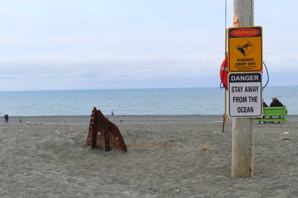
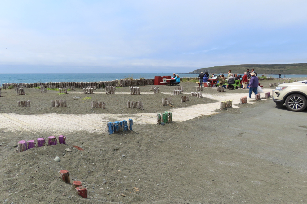
“A Whale’s Playground,” they say. There are certainly videos to prove that it’s true some days.

I decided to walk across the bridge to see what the situation is like at the town office, which apparently is boondocker-friendly and we didn’t have a spot for the night yet and there is no RV park anywhere close to Saint Vincent’s.
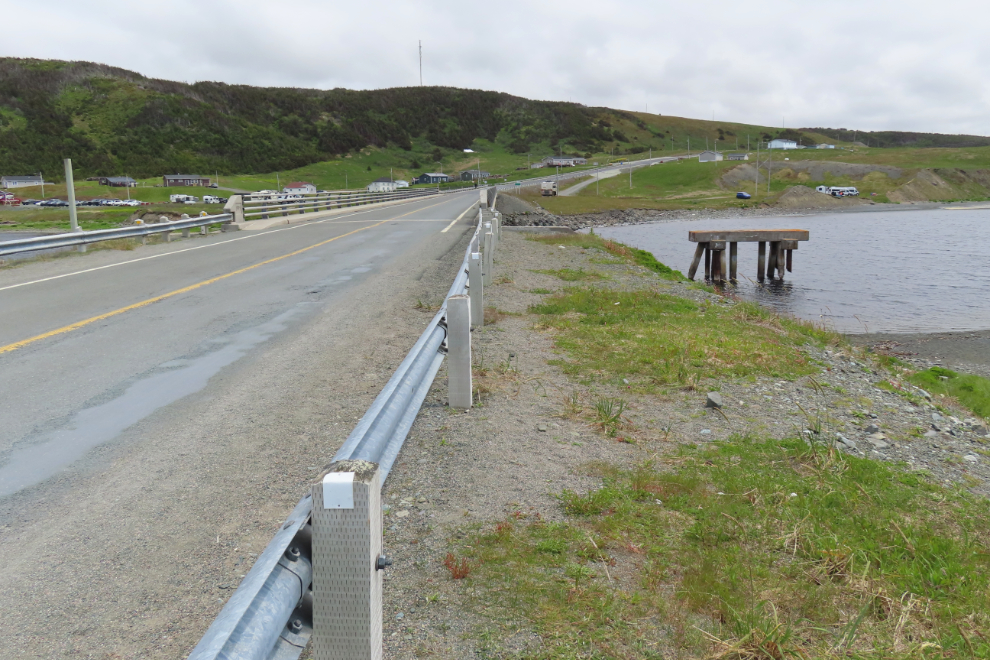
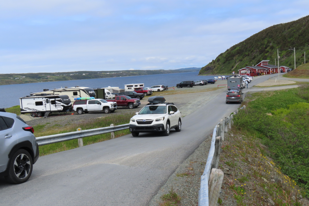
The town office lot was a fairly busy place, and a few RVs were clearly camping there. A few people were there because of the “Public Washrooms” sign on the highway, and there was a bit of a lineup to use them.
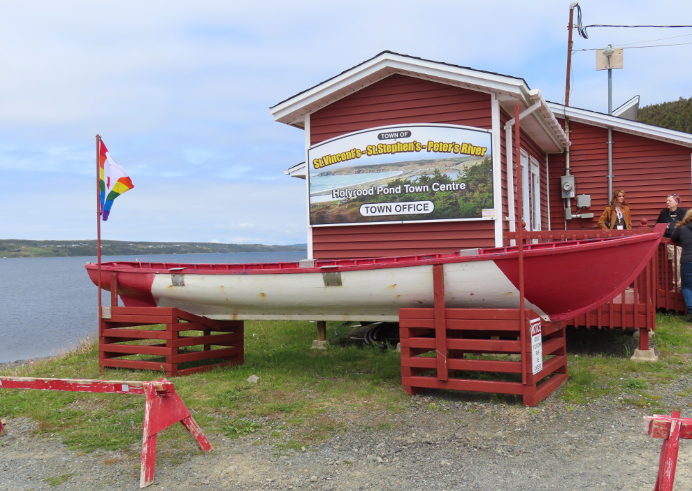
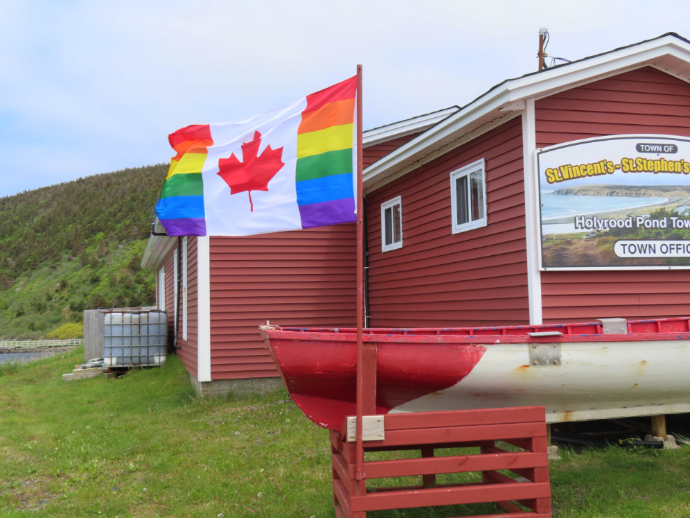
I don’t think I had seen that flag before. It’s certainly an interesting choice for the the town to fly on Canada Day.
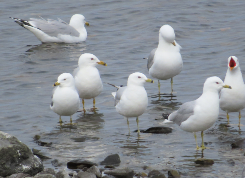
I had had enough of the beach gravel, so walked back to Cathy via the road. That got me to a crowd of gulls (and one Arctic tern among them).

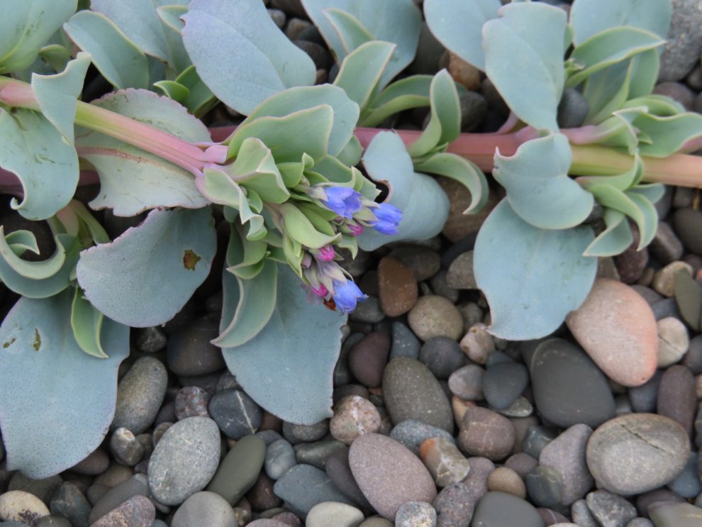
I noted that some of the oyster leaf (Mertensia maritima) were now blooming.
I met Cathy, who was still on the beach but had had no luck. We went back to the RV to warm up and have a snack, and I had a nap – the walk had been just over 4 km long.
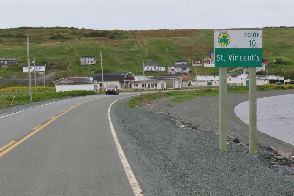
Many people were leaving, and we decided to return to the main parking lot to see if there was now room for us to spend the night there. Before leaving, I got a photo of the highway sign we had parked near – the logo indicates that this is part of the “Irish Loop.”
There was indeed a place to park the RV at the main lot, looking straight onto the sea so we could watch for whales in comfort. I saw a guy fishing for something, and went down to the shore to get some photos of him.
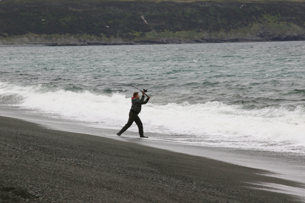
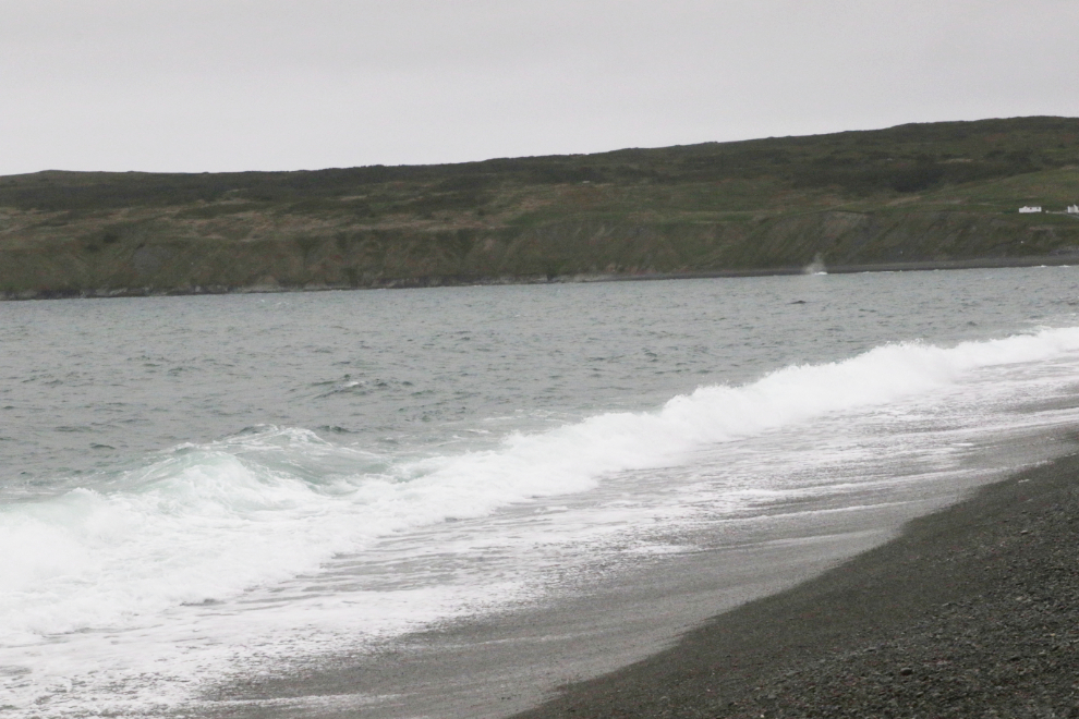
I love watching the surf, whales or not, and shot a minute of video while I was down shooting fisher-guy.
Then things got very interesting – a large number of Northern gannet (Morus bassanus) arrived and started fishing right in front of us. The Smithsonian says “The most unique aspect of these aerodynamic birds is their thrilling hunting style. From a mesmerizing height of roughly 100 ft (30 m), the gannet plunges headlong into the water to hunt small prey fish. They can achieve astonishing speeds of up to 60 miles per hour (97 kmh) during their free dive toward the ocean’s surface to pursue their prey. To accomplish such a feat, the birds developed a number of adaptations. Unlike most birds, they do not have external nostrils but instead breath through nostrils inside their mouths. Within their face and chest air sacs cushion the violent impact into the water like a car’s airbags. Also, their eyes are positioned far back on their pale face, allowing them to judge the proper distance accurately.”
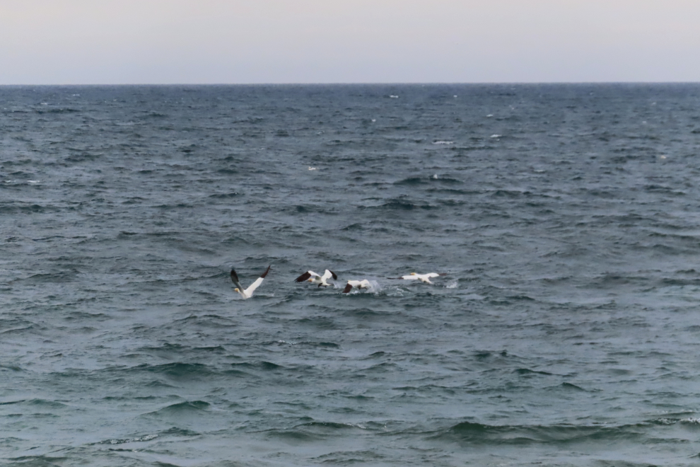
That, of course, requires another video 🙂
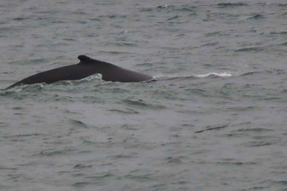
FINALLY, two humpback whales arrived! Cathy and I both went down to the shore and started following them as they cruised down the beach. A spout can just be seen to the right in the next photo.
I needed to walk a whole lot faster to catch up to them, and finally did, but only managed to get one photo worth posting. This was shot with 172mm on the little Canon SX740 at 1/1,000th of a second, as it was starting to get dark.
This was our final full day in Newfoundland – the next day we would drive to Argentia to board the ferry to return to Nova Scotia for another 6 days.

About The Author
