Hiking to the Ferryland Lighthouse, Newfoundland
After re-visiting the Cape Spear Lighthouse National Historic Site the morning of Tuesday, June 30th, we drove south with no plan, but ended at Ferryland, where we boondocked for the night. The hike to the Ferryland Lighthouse wasn’t the only activity of the day, but it was the main one.
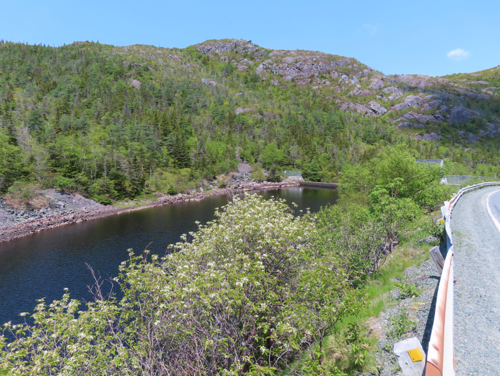
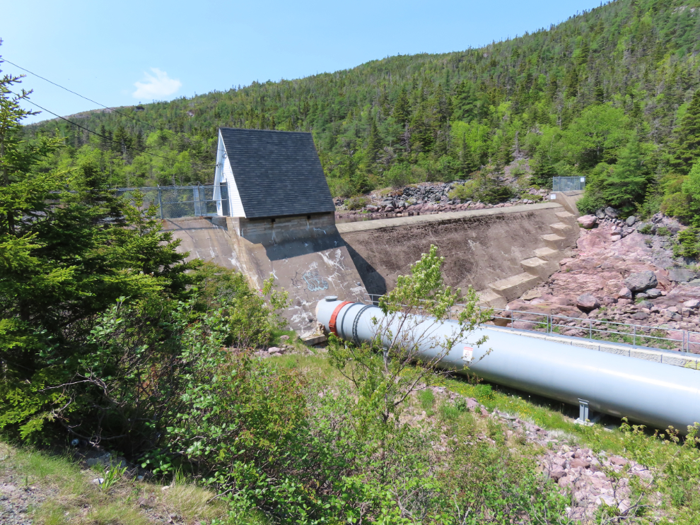
We started the drive on Route 11, which took us back to Petty Harbour, which we had visited on our van tour the previous day. There is simply no place to park an RV there, so this was a drive-by look. Just a kilometer past the harbour, though, I came to a concrete dam, and there was soon a large place to park so I could walk back for a look. This dam enlarges First Pond, which connects to Second Pond, and this pair of lakes powers the hydroelectric plant in downtown Petty Harbour. We noted many times that Newfoundlanders rarely waste any energy coming up with creative names for things and places 🙂
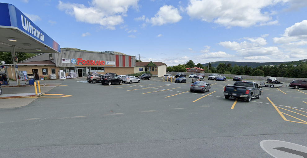
After 18 km on Route 11, we turned south onto Route 10 at Goulds. This is a slow, wandering route through the hills, along the coast, and past lakes, with thousands of homes along it. At Bay Bulls, I spotted a particularly easy-to-access Foodland, and we stopped there to re-restock our groceries. By now, Foodland was our first choice for groceries – they were always very good for selection, quality, and price. This is a Google Streetview image of it.
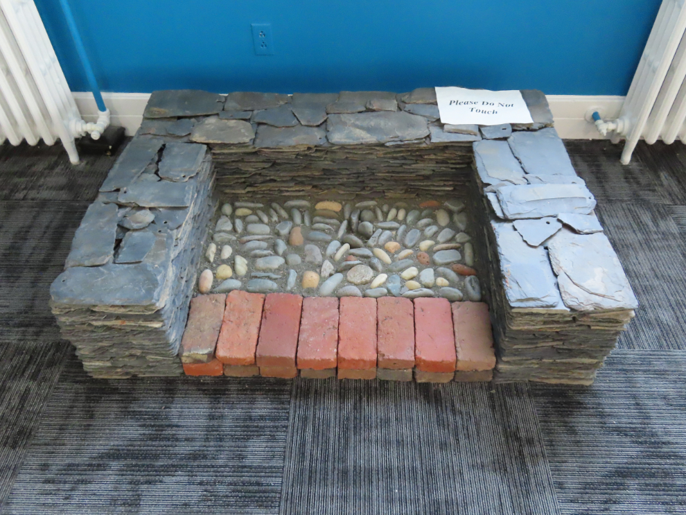
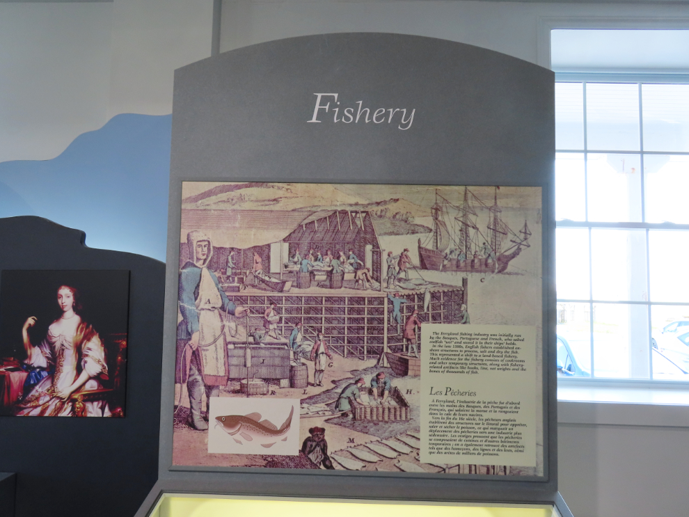
Ferryland had always been our radar as a possible stop, though neither of us could remember why. We drove by the Ferryland Visitor Centre on the highway, but down by the small harbour we found a place to park near another visitor centre, this one for the Colony of Avalon. We went in there, and the interpretation centre/museum soon taught us a whole lot about the lengthy and complex history of what is now Ferryland. The province’s tourism department summarizes: “Step back 400 years at the Colony of Avalon, one of the best-preserved early English colonial sites in North America. Visitors explore the active archaeological dig through guided tours, the interpretation centre and conservation lab, and hands-on archaeology programs with professional archaeologists.”
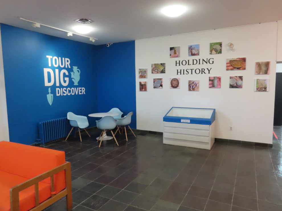
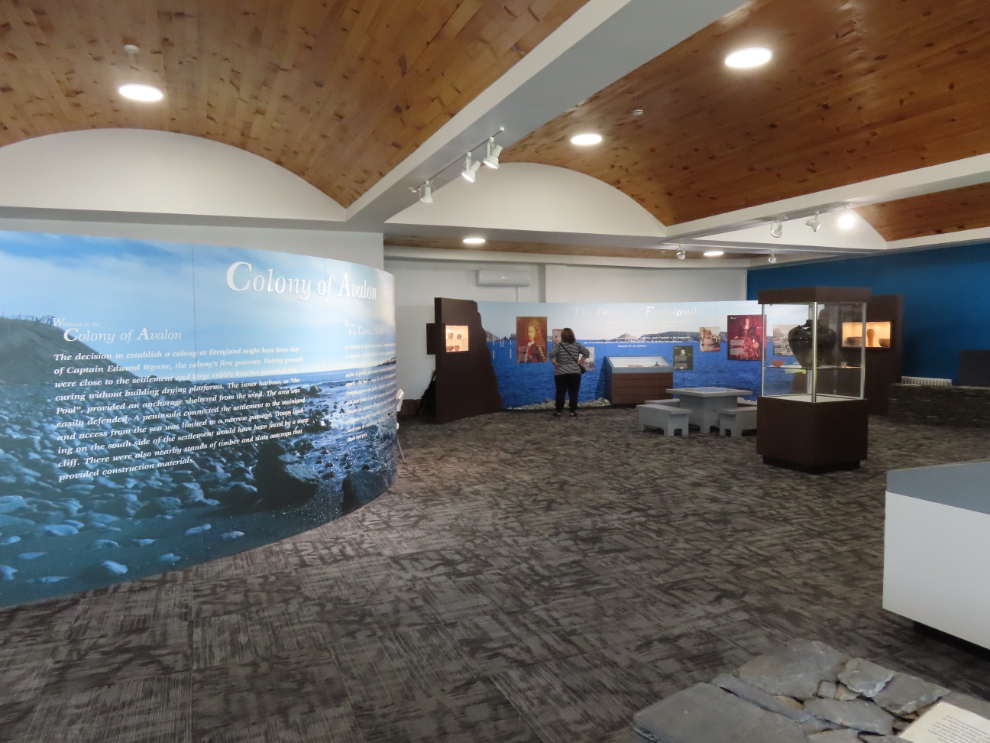
It was clear that visiting the archaeological site would be an excellent activity, but our timing didn’t allow for it.
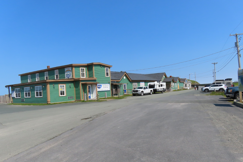
A large gravel parking lot across from a tea room and dinner theatre premises seemed to be welcoming, and a fellow from Quebec had asked for and received permission to spend the night there, so we moved onto the far side of the lot from him. I see on Google Streetview that their “current” image of that spot (from July 2013) shows barriers and “No Campers” signs there.
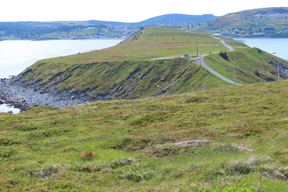
From there, I wanted to hike to the lighthouse – every description about the route I read was different, so I just headed out, first having a look at the beaches on both sides of the narrow strip of land we were on.
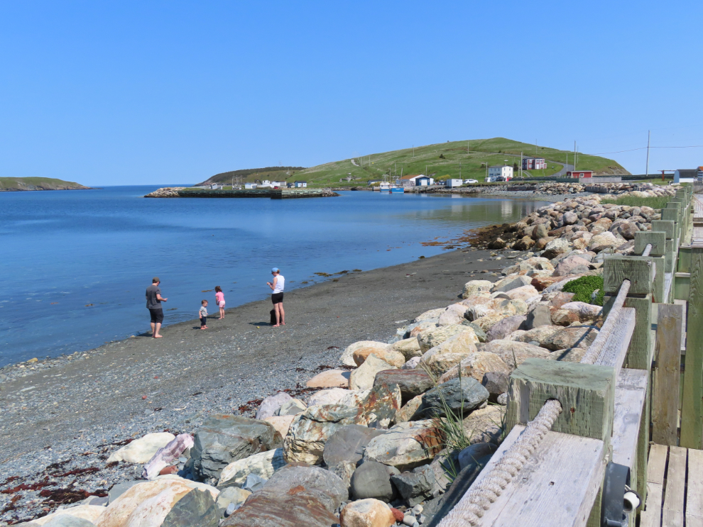
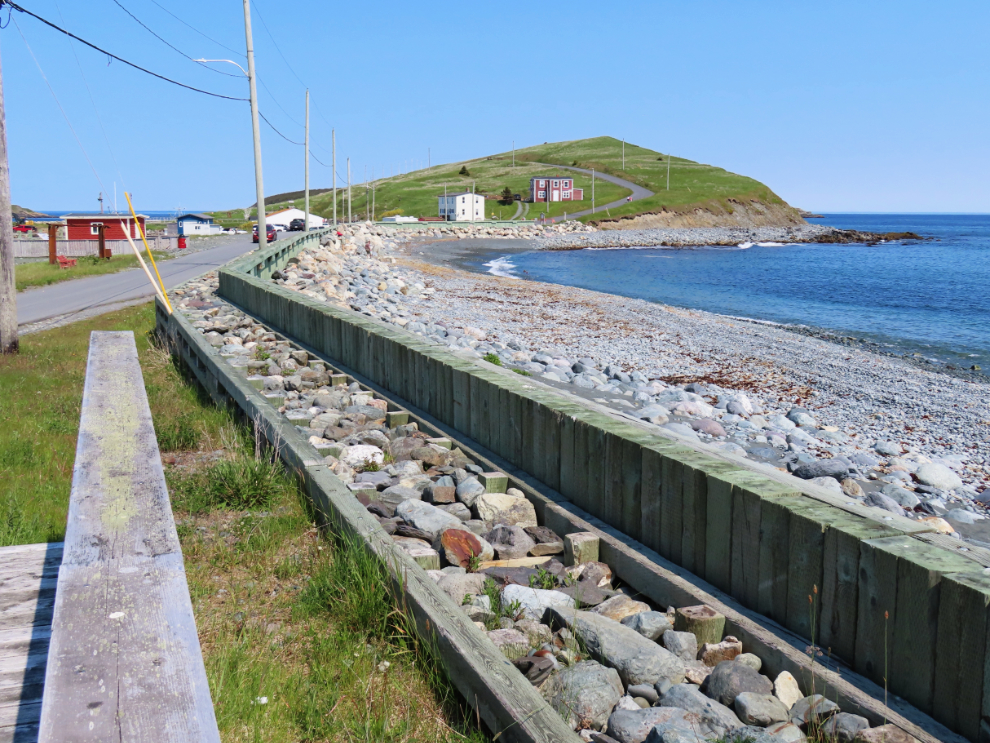
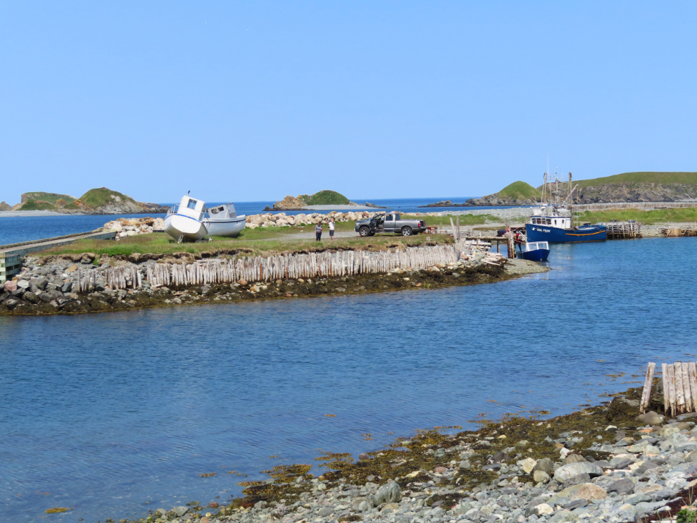
The tiny harbour is both well protected and extremely scenic.
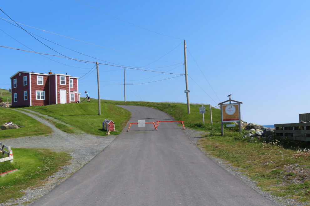
As the paved road started to climb the hill, it was blocked, perhaps temporarily, but there was also a permanent sign that said “No RVs or Busses Beyond This Point” (in case the width of the road didn’t make that obvious).
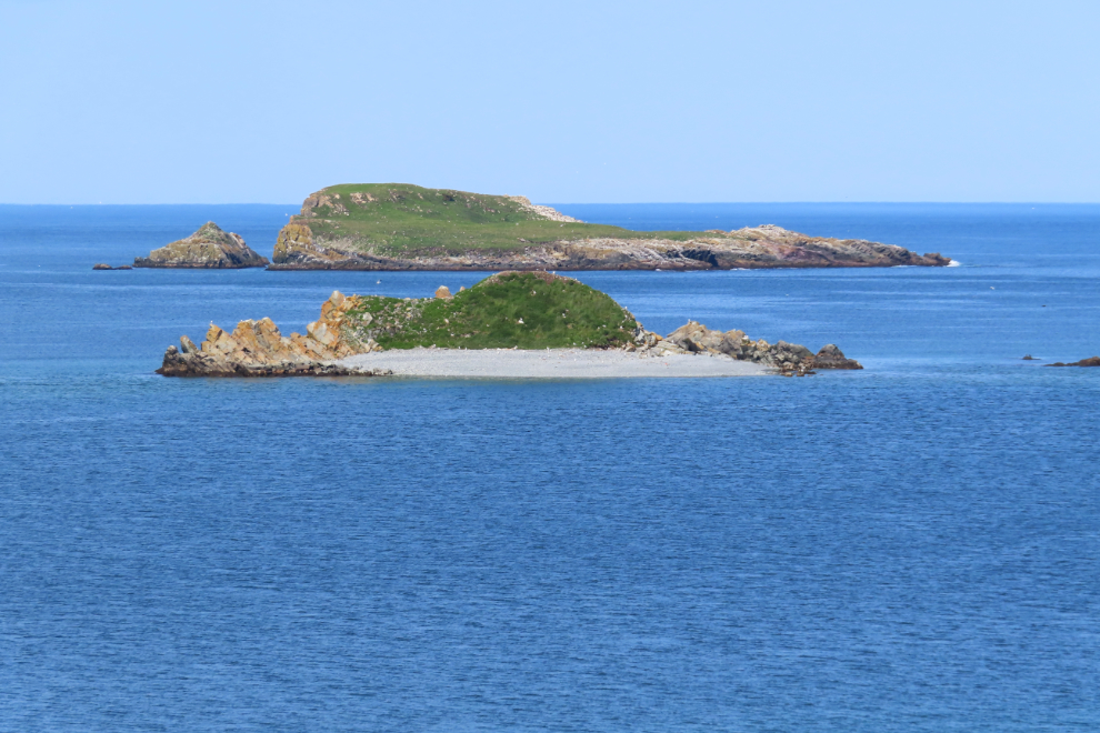
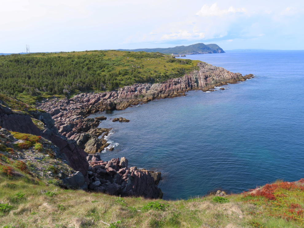
The views of the small islands that protect the harbour (and provide great bird habitat) get better and better as you climb the hill.
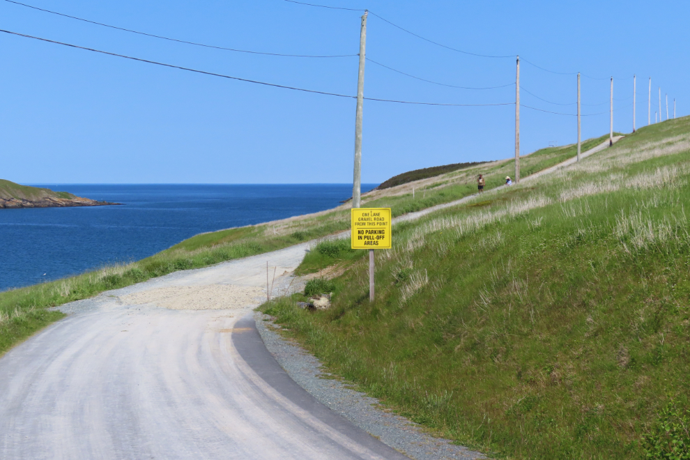
Five minutes past the barrier, the sign warns “One Lane Gravel Road From This Point. No Parking in Pull-Off Areas.”
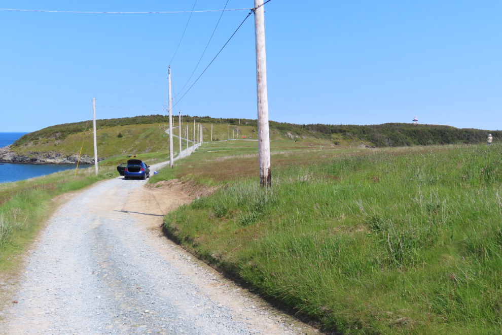
The car belonged to a surveyor who was measuring and pinning the large chunk of land on top of the ridge, which is for sale, with just a phone number. On a day like this, incredibly scenic. On some other days, incredibly exposed. I’m very curious about the size and price, but can find nothing online.
The bench and cannon are a wonderful addition to this route 🙂
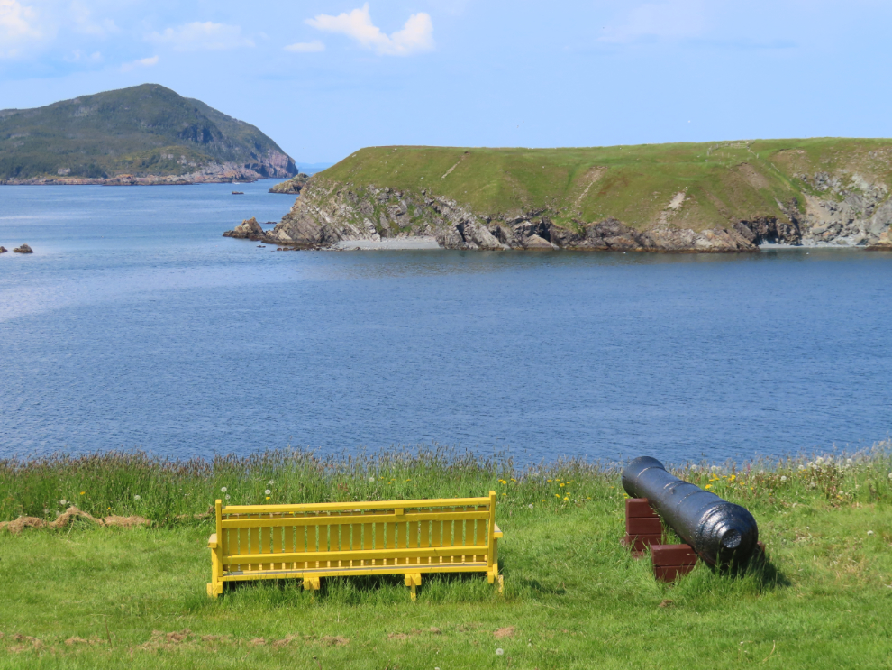
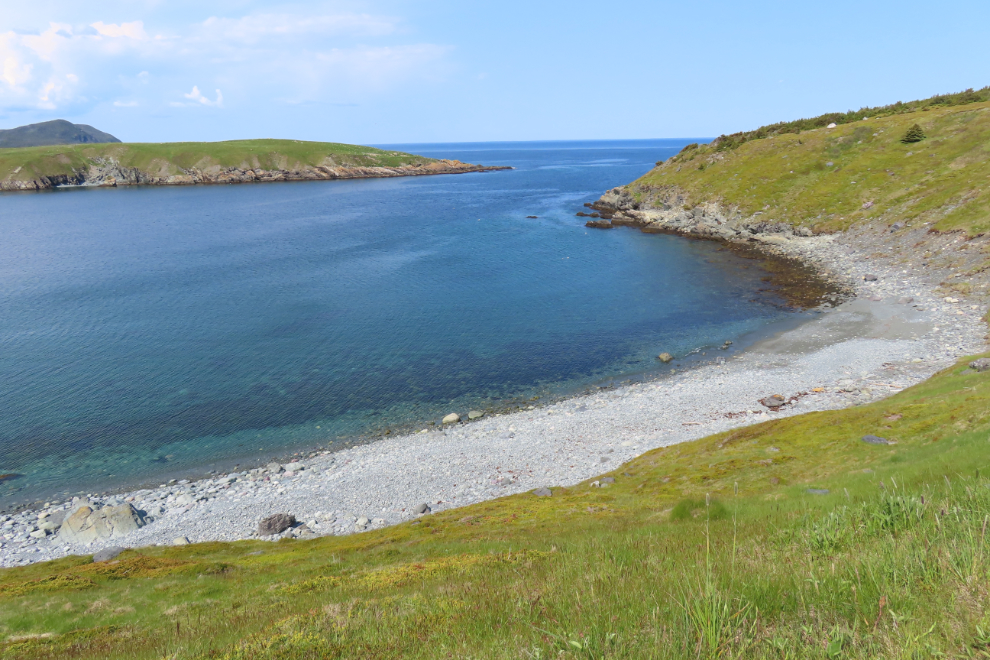
Sandy Cove, protected by Bois Island. Wow…
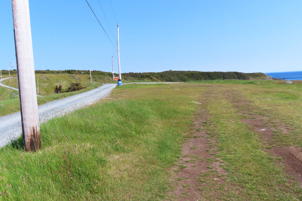
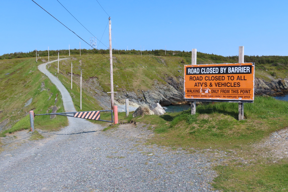
Just 15 minutes past the barrier is an area that has clearly been a parking area recently, and then the road is closed to all vehicles including ATVs.
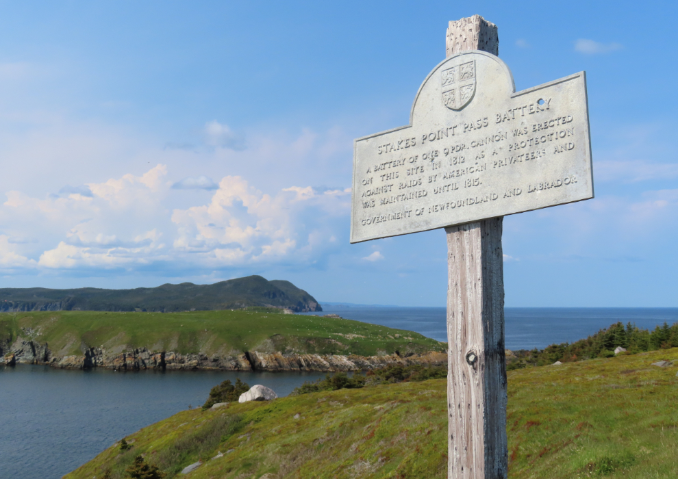
Above the road is this sign and a bench – they can be seen in the photo above, to the left of the road as it curves to the right. “Stakes Point Pass Battery. A battery of one 9 pdr. cannon was erected on this site in 1812 as a protection against raids by American privateers ands was maintained until 1815.” I wonder if that’s the cannon beside the bench 4 photos back.
Looking back down the road, showing the steel gate, the parking area, and the large block of land that’s for sale.
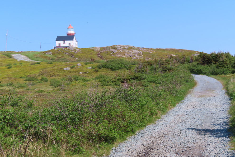
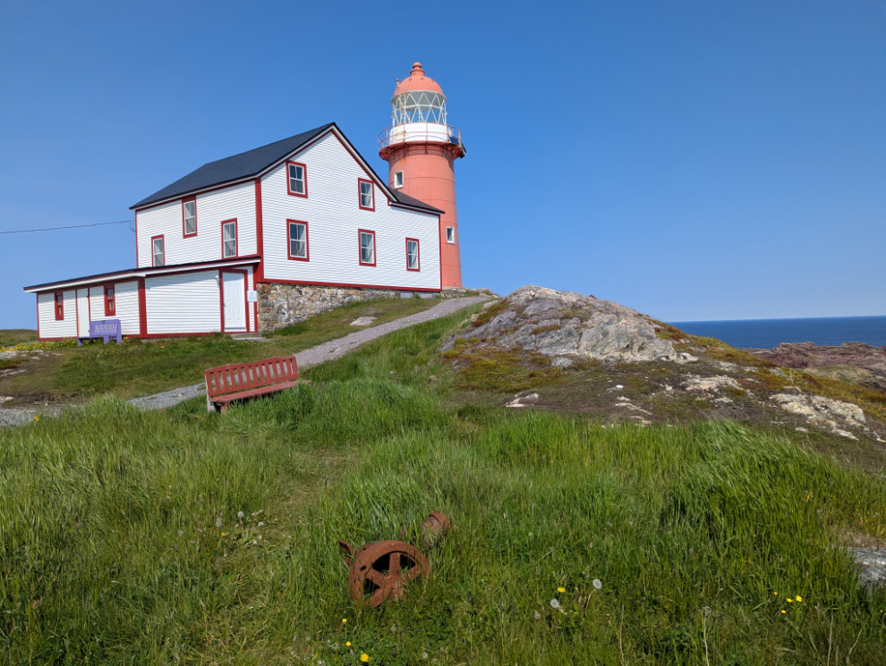
The first good view of the lighthouse, 30 minutes past the barrier. I hadn’t seen another person since the surveyor – I had the site to myself 🙂
The Ferryland Head Lighthouse Keeper’s Dwelling is a registered municipal heritage site. It is described as a two storey wooden structure with a cross gabled roof, built between 1870 and 1871 by contractor William Campbell and mason Thomas Burridge of St. John’s.
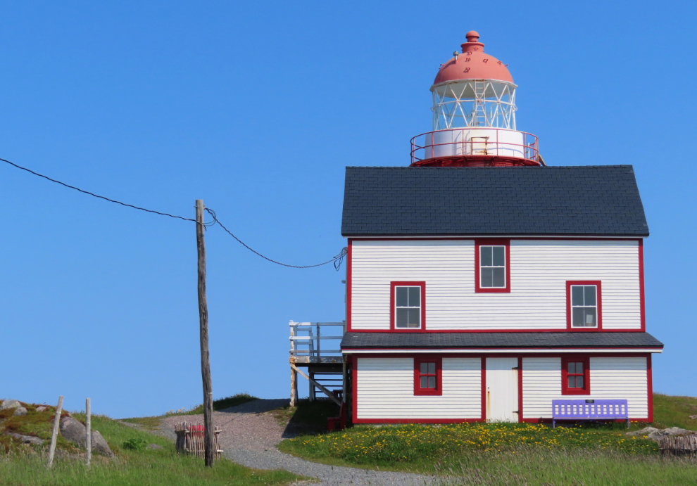
The lighthouse is well known for the picnic lunches that have been offered by Jill Curran and Sonia O’Keefe since 2004, but they weren’t available this day for some reason. Jill and Sonia got permission to restore and use the Lighthouse Keeper’s Dwelling for their business.
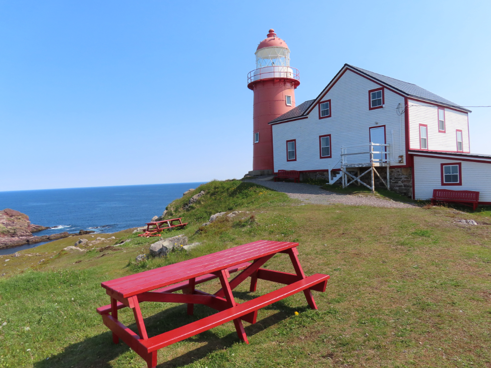
No photo can do this scene justice – you have to experience this place.
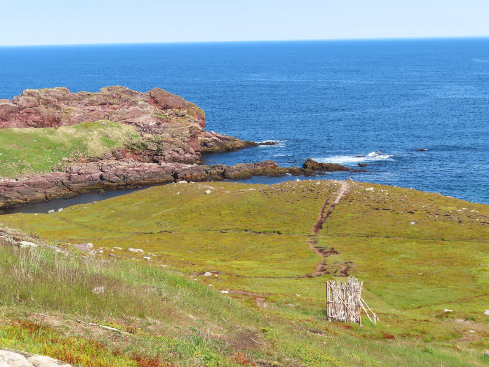
I have no idea what the purpose of that wooded “screen” is.
As with the dwelling, the Ferryland lighthouse was built in 1870-71. The light tower was round, built of stone and brick, but constant problems with bricks breaking caused the tower to be enclosed in riveted iron plates in 1892. That solution had been successfully done at Cape St. Mary’s the year before. The lighthouse tower was registered as a Federal Heritage Building in 1991.
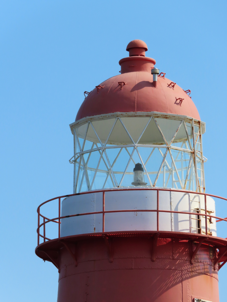
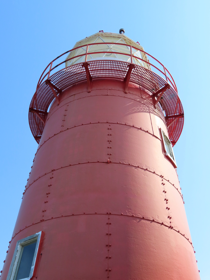
One more photo before I left.
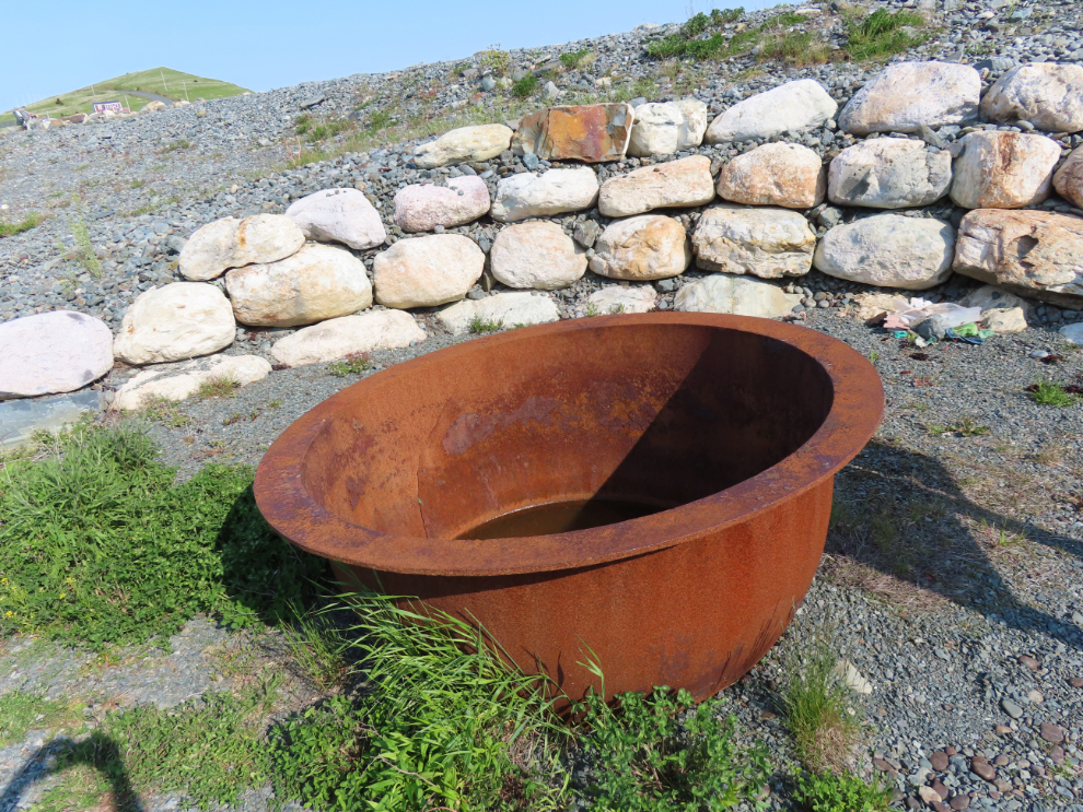
Back in town, I found The Old Bark Pot, a municipal heritage site. The large iron pot was used to “bark” their nets and twine (and sometimes sails) in a boiling mixture of water and bark, to prevent rotting. This was a community pot that could be used by anyone.
The hike in total was 5.46 km long, with 97 meters of elevation gain.
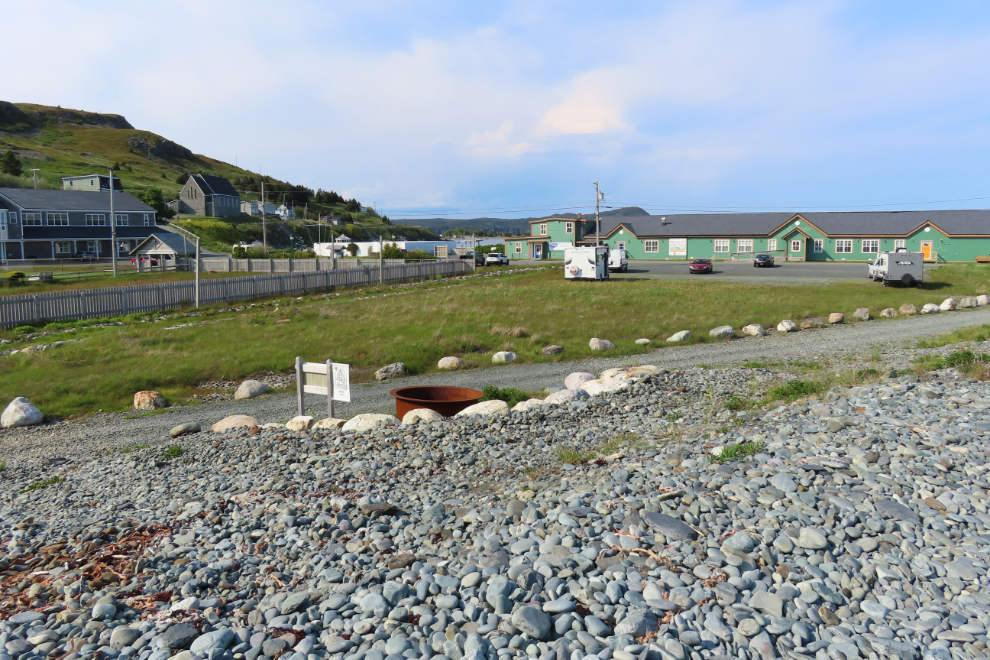
The next photo shows the bark pot in the foreground, our RV at the left side of the parking lot, and the Colony of Avalon headquarters and interpretive centre to the far left.
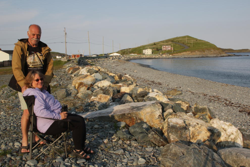
That evening, Cathy and I took our chairs down to the seawall, partly to watch for whales and partly just to embrace the scene.
The next day, we would continue working our way towards the Argentia ferry terminal, with no plans for the night.

About The Author
