Driving from Terra Nova to Elliston and the puffin colony
On Monday, June 22nd, after my morning hike to Pissamare Falls, we drove to Elliston specifically see the puffin colony, overnighting at the Ellison Municipal Park.
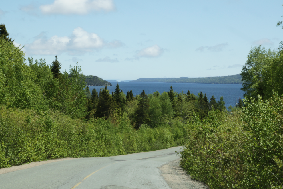
It was 162 km from our site at the Newman Sound Campground to the Elliston park, and there were plenty of particularly scenic sections.
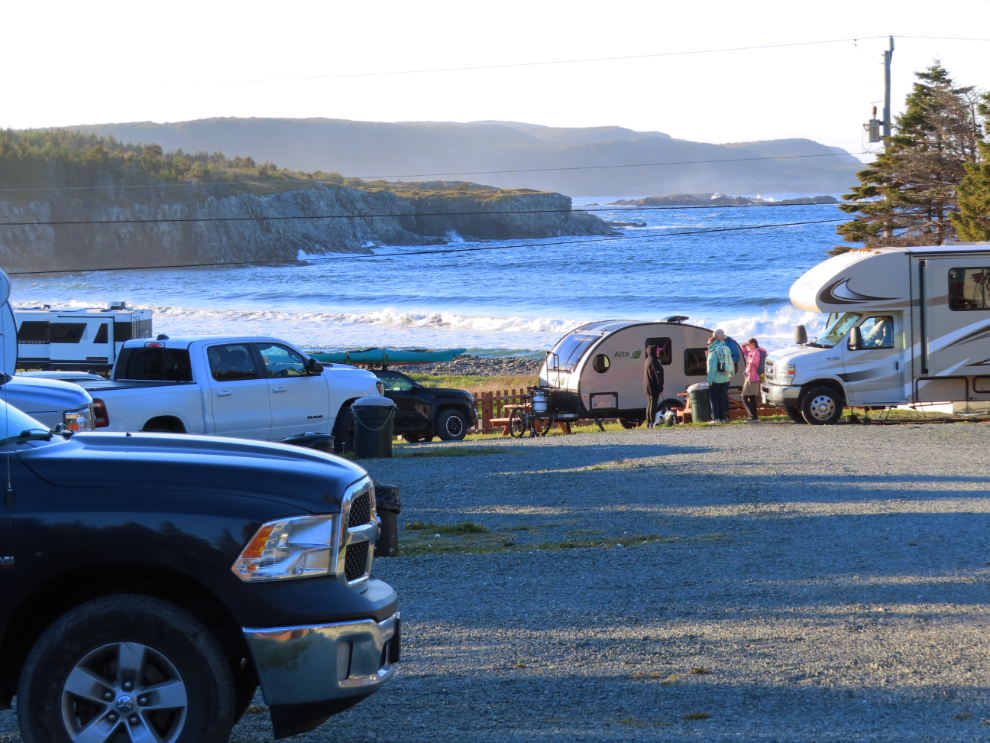
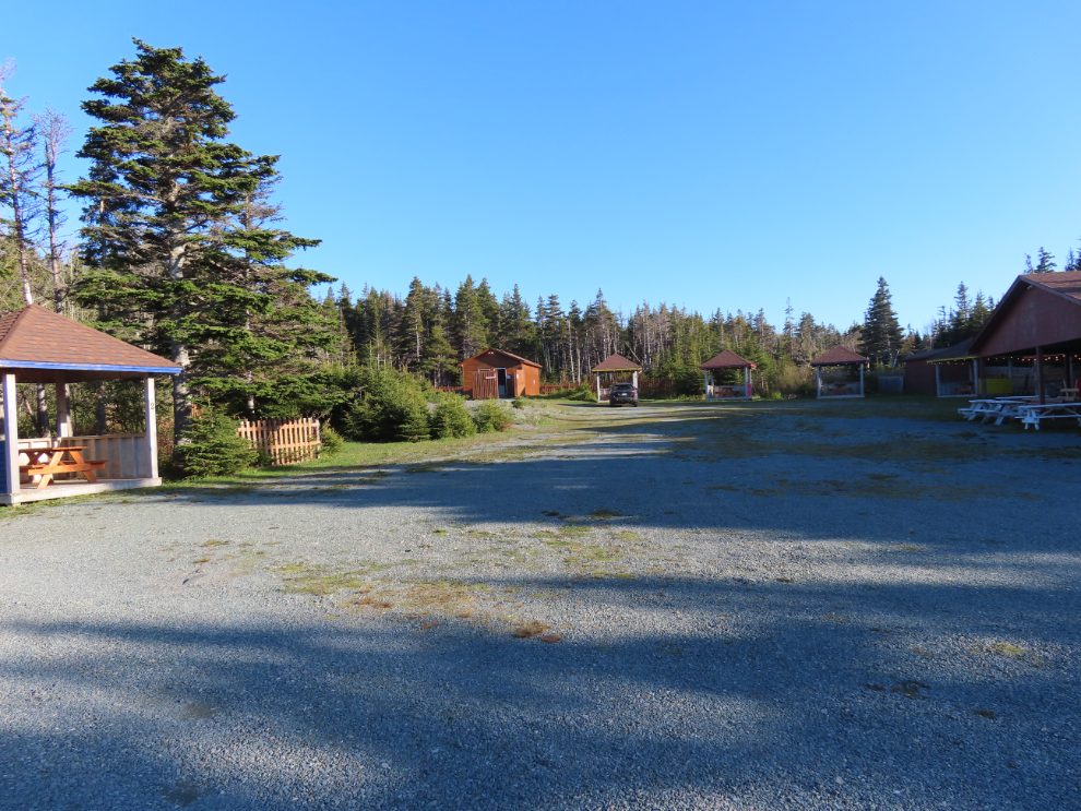
The Ellison Municipal Park gets 5 stars for location but 3 stars overall. For $40 we got electricity, and that’s all. The water faucet had a “boil water advisory” sign on it so was unusable (I shot this photo from our site that evening).
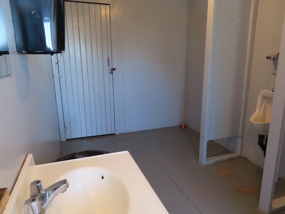
The washroom was as basic as you can get, built decades ago. No shower as we expect for $40. The washroom was clean though – they get points for that.
Looking from across the cove, the upper RVs are in the municipal park, the one on the shore are boondocking (parking for free) but can use the same washroom as the people paying $40.
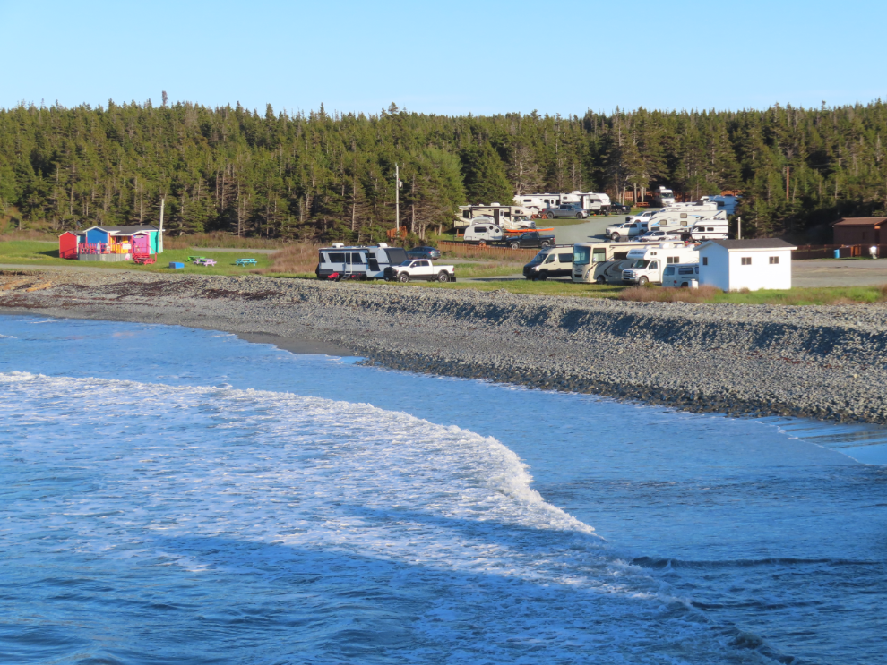
Half of the municipal park is used for events of all sorts, judging by the structures there. The washroom building is at the upper left corner as is posted as being open to the public.
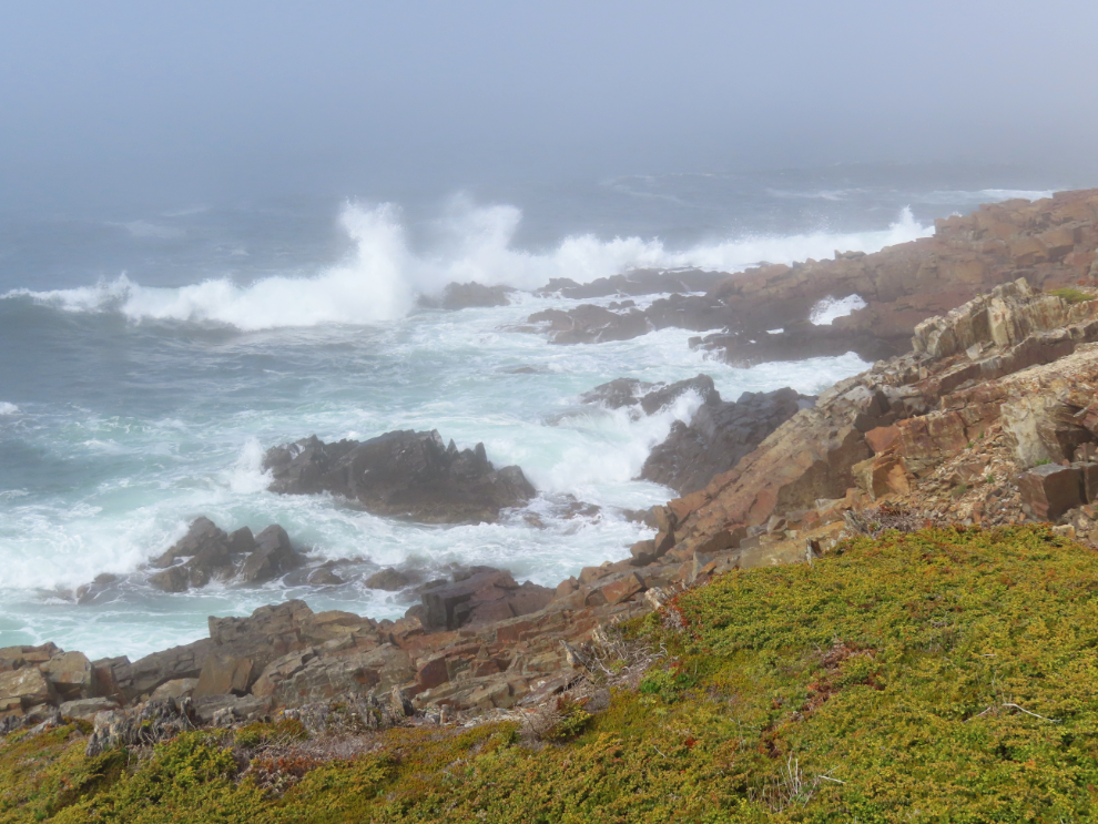
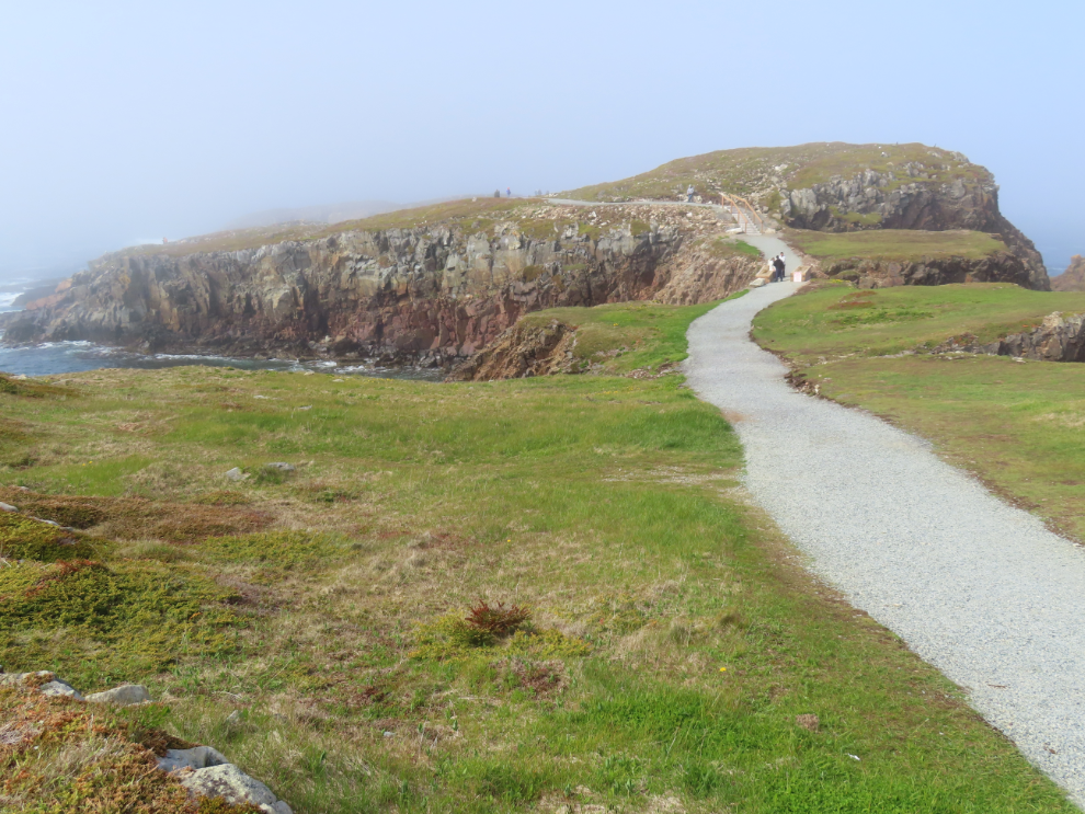
At about 4pm, Cathy and I walked to the puffin colony – it’s 1.4 km one-way. A bank of fog we’d seen at sea had moved ashore, affecting photography but not the experience. The beach of the cove the campground sits in is protected by a massive berm of the flat rocks known locally as flagstones.
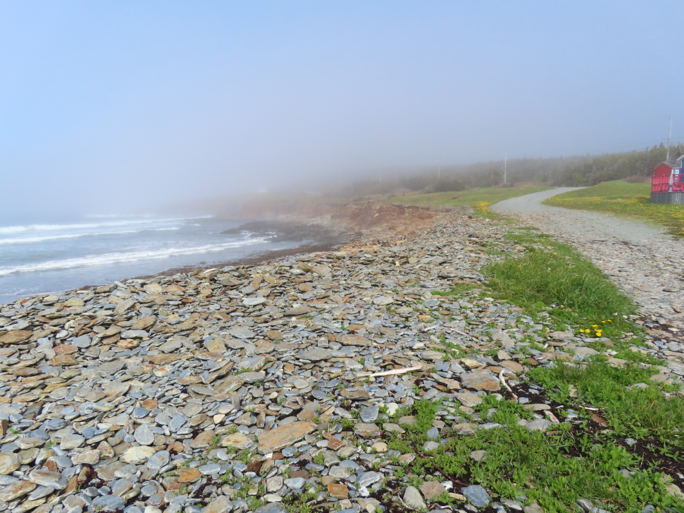
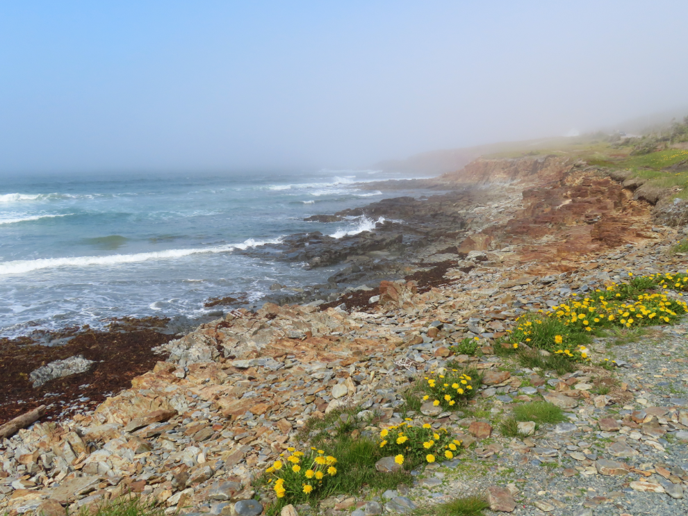
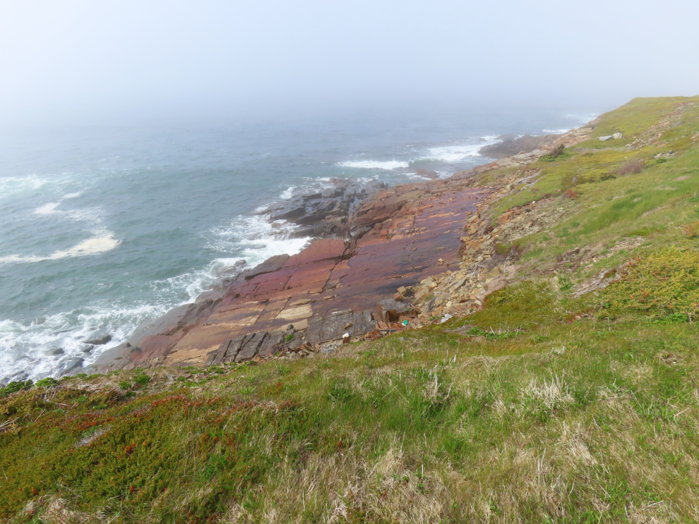
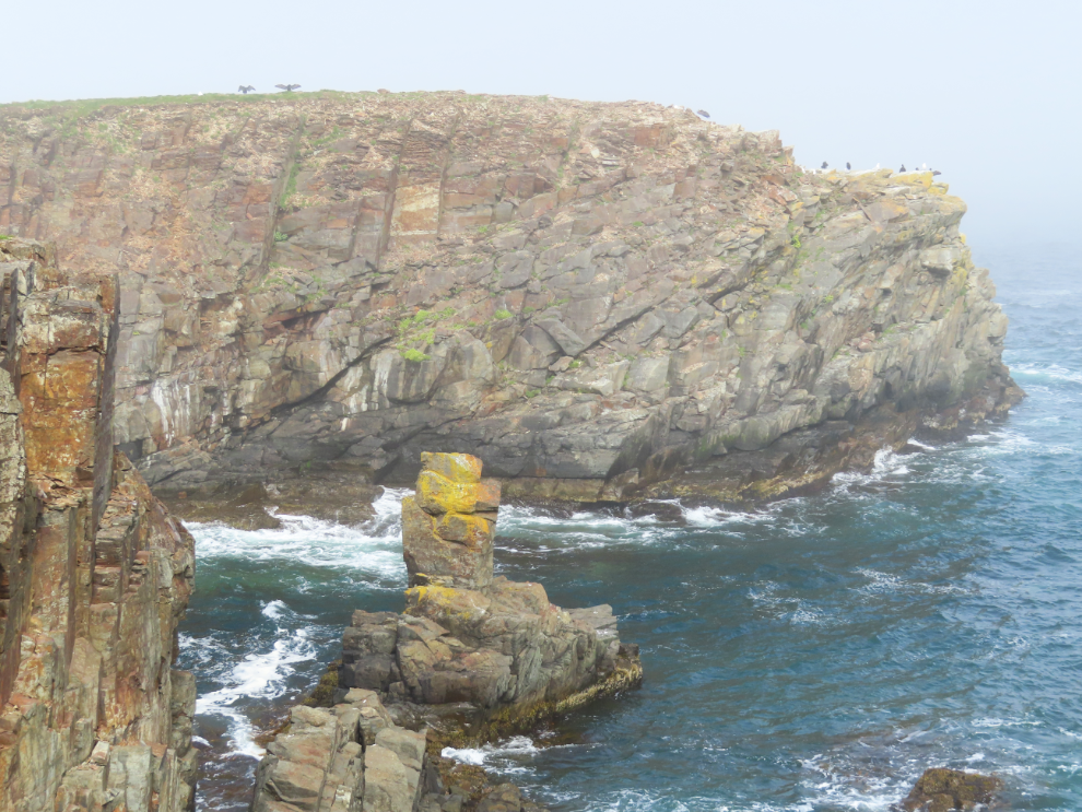
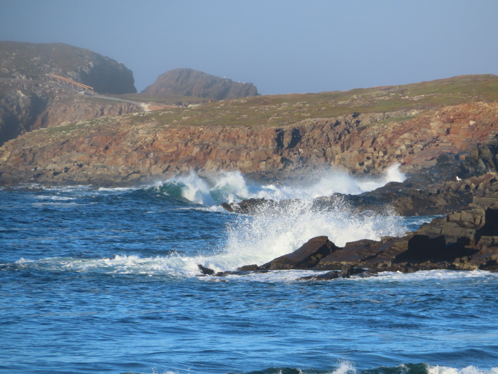
The coast gets more and more rugged as you go toward the point.
Those rocks are almost as smooth and flat as a pool table.
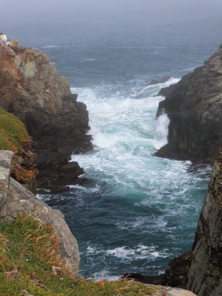
I find the surf to be endlessly fascinating, and it’s always a challenge to capture the best breaks.
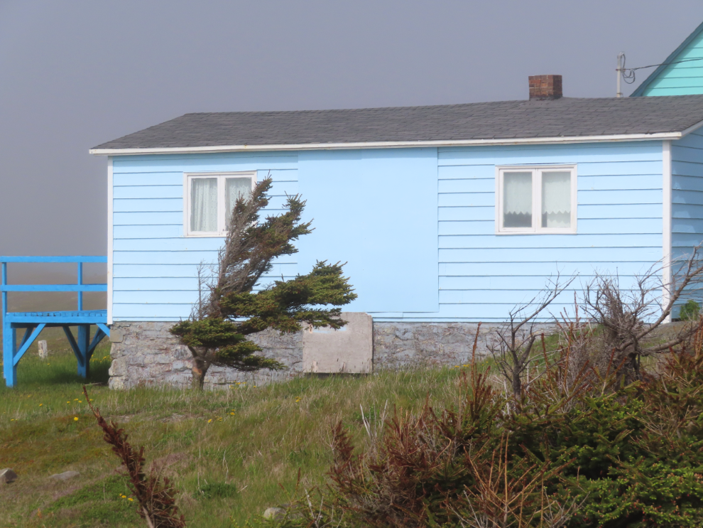
This tree wasn’t being bent by today’s light winds, it’s been shaped that way by a lifetime of winds straight off the North Atlantic.
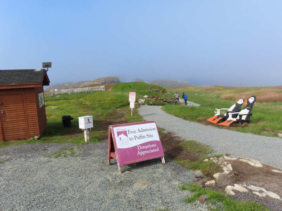
The entrance to the puffin-viewing area. There’s a parking lot a couple of hundred meters up the road past this point. The sign says “Free Admission. Donations Appreciated.” I wonder how much money is raised that way – I expect little.
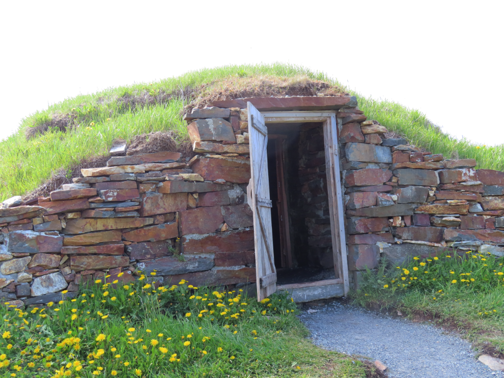
Elliston is the Root Cellar Capital of the World, with 133 of these underground structures built from flagstones documented. This was the first of several I photographed – there are two side-by-side along the path to the puffins.
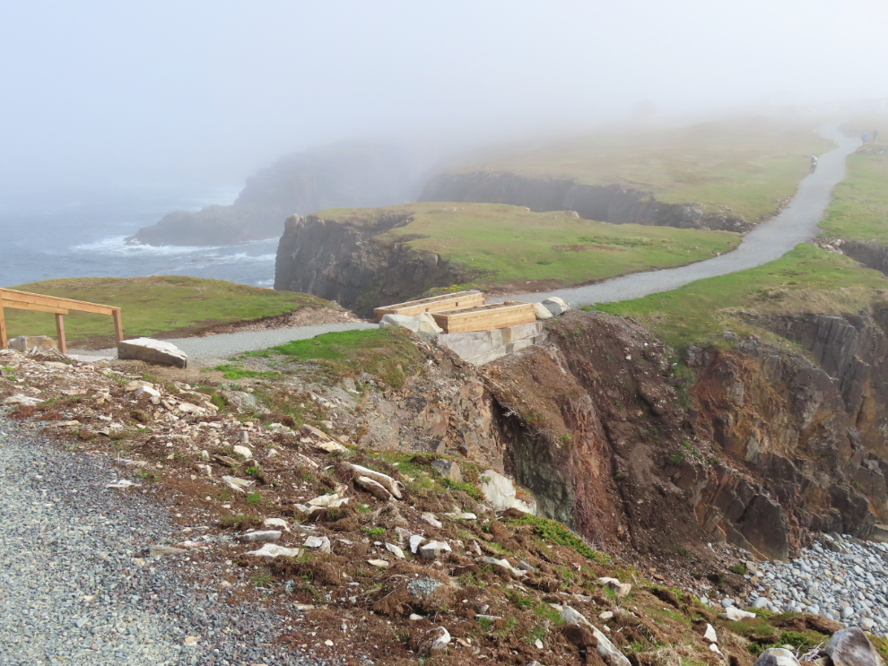
The path to the puffin-viewing area is wide and well built, and seems to have been recently upgraded.
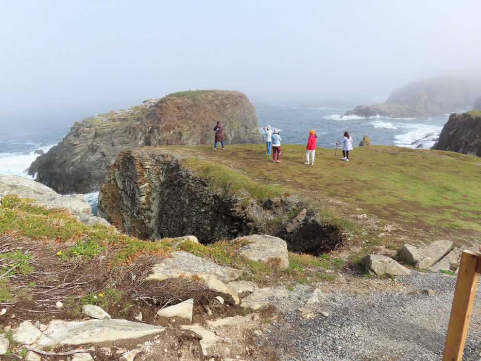
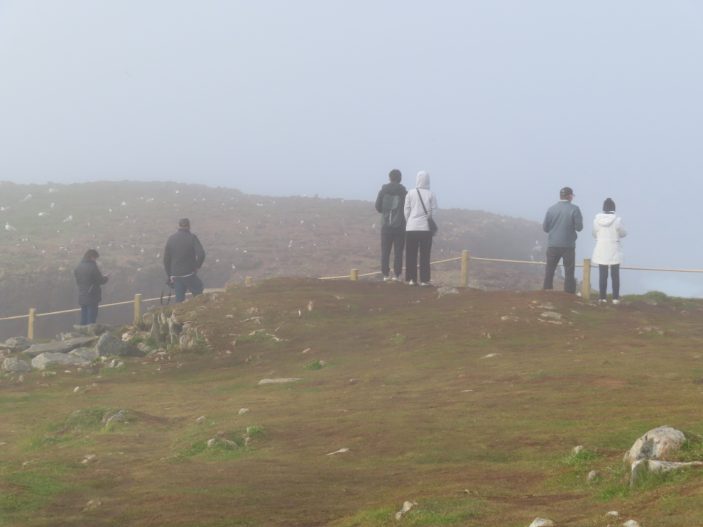
Except right in front of the main puffin island, there are no fences to keep people away from these cliffs. I sure hope it stays that way.
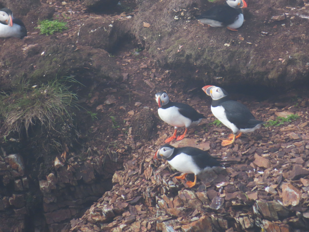
The next two photos were shot at near-maximim zoom on the little Canon SX740. I didn’t take many photos – I got plenty of close-ups in Iceland last year.
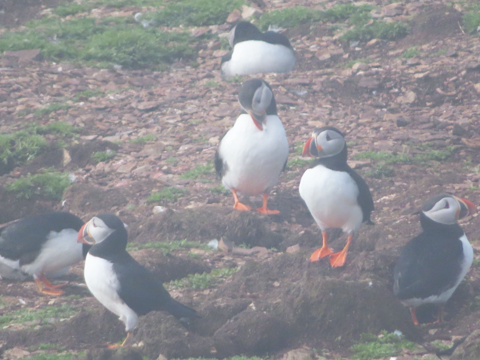
Puffin viewing. The fence here isn’t primarily to keep people from falling off the cliff – when people sit down and stay still, puffins will come and land on the 5-foot-wide strip of grass between the fence and the cliff edge. Puffins are apparently as curious about us as we are about them. Few people sat, though, so no birds came.
A causeway across some of the rocks has recently been upgraded with concrete
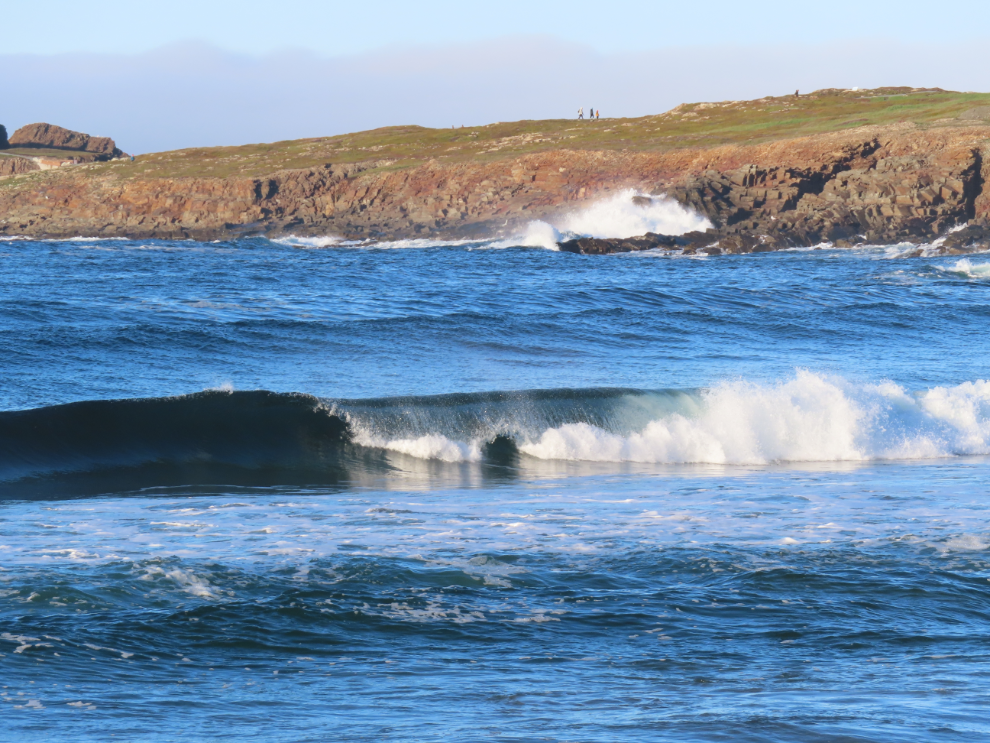
This was a particularly good spot for watching the surf. I never did figure out a pattern to anticipate when a big wave was coming.
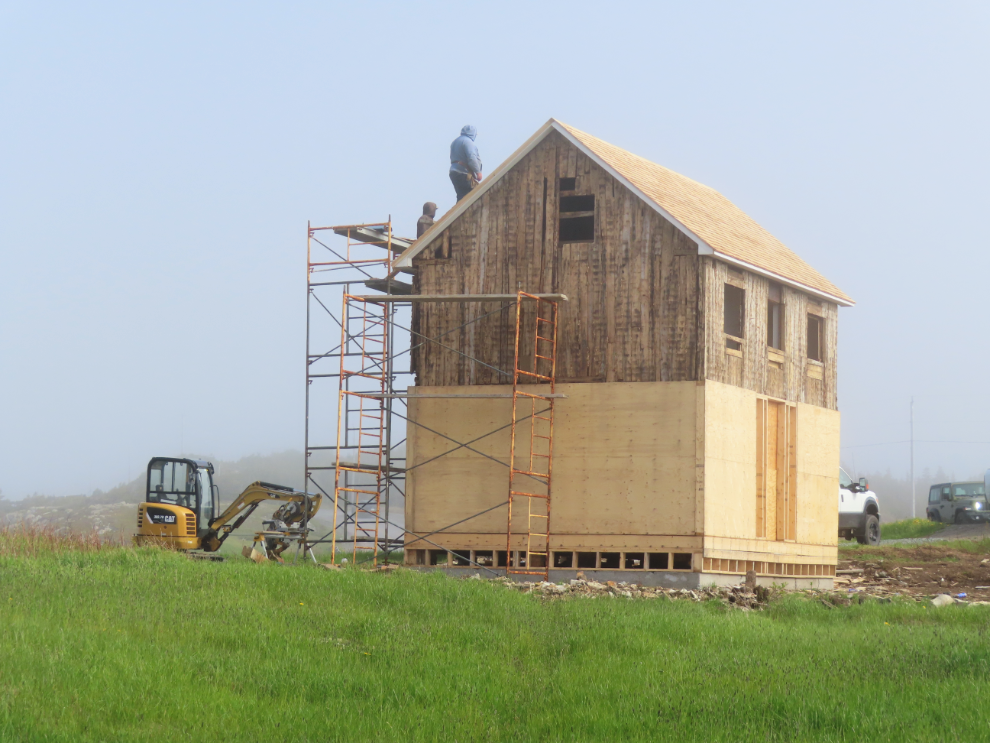
Right at the entrance, a new structure is being built. It appears to be a historic cabin on a new lower floor – I rather expect it will be a puffin interpretive centre.
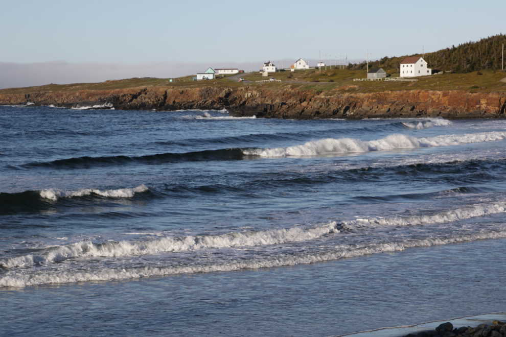
That evening when the fog had cleared, I walked up the road a way and shot a lot of photos of the surf and terrain.

We planned to drive up to the puffin area the next morning and sit there until the fog clears. Then we would move a few miles to Bonavista for a couple of days.