Hiking the Goodwiddy Path at Terra Nova National Park
On Sunday, June 21st, Day 24 of our trip and the 17th day in Newfoundland, we were in Terra Nova National Park with a full day to explore. For me that meant a day of hiking, starting with the Goowiddy Path, a 8-km loop that runs along the coast and climbs into the hills. It’s rated as “moderate-difficult” and Parks says to figure on 3-4 hours to do it.
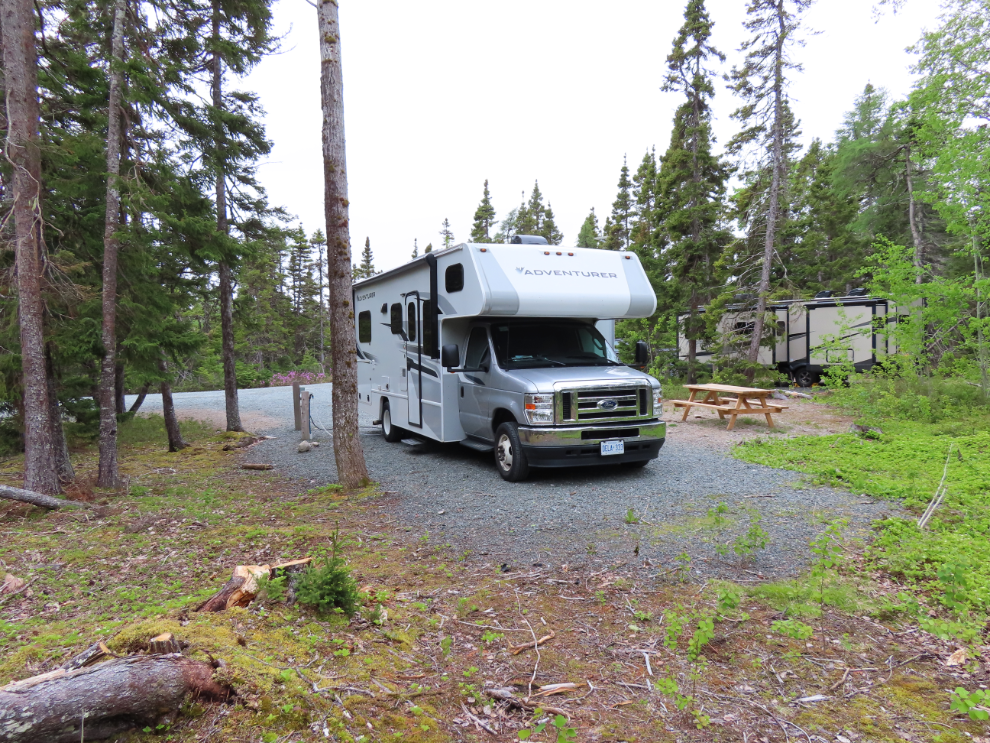
We had set up at Site 256 in the Newman Sound Campground, and were very pleased with it. It has full services and is very large, and it was a very quiet neighbourhood.
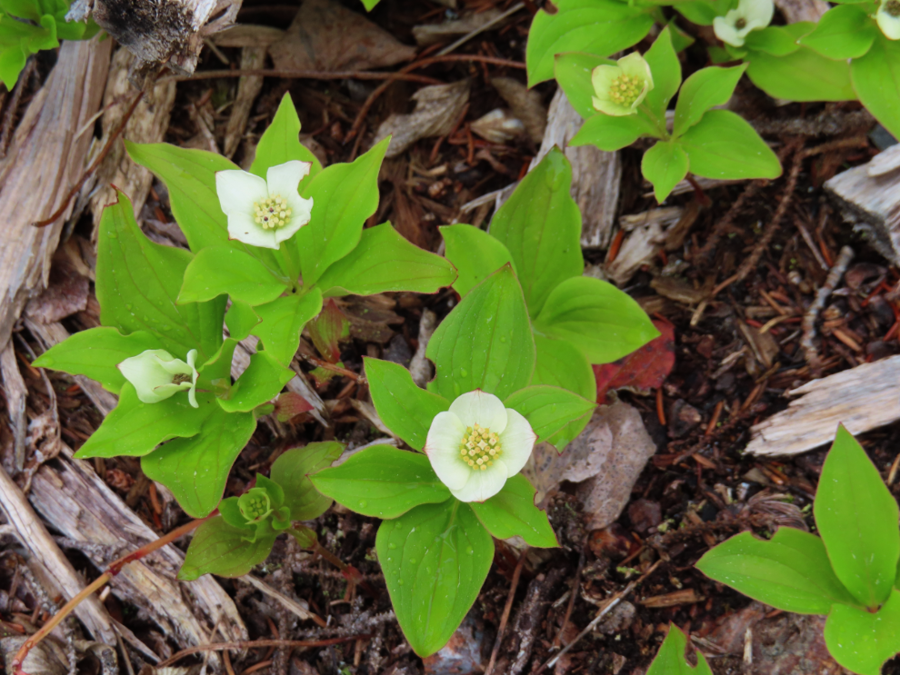
There were lots of flowers on the site – this is Bunchberry (Cornus canadensis).
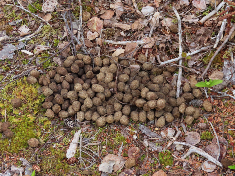
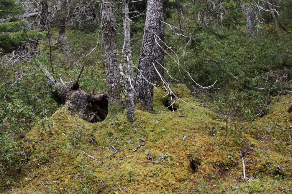
Some of our neighbours had left signs of their passing.
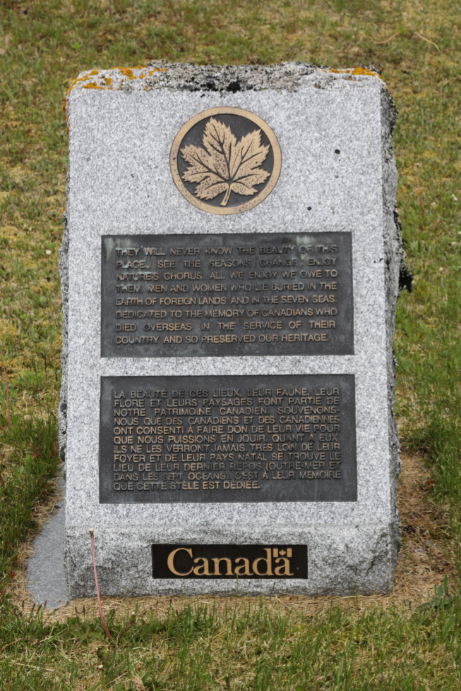
The Goowiddy Path starts at the Visitor Centre 4 km away which would work out well, giving Cathy a good place to do stuff while I was hiking. As you drive up to the Visitor Centre there’s a small monument at the base of the flagpoles, and I was pleased to see that it was one of the remembrance ones seen at many national parks: “They will never know the beauty of this place, see the seasons change, enjoy nature’s chorus. All we enjoy we owe to them, man and women who lie buried in the earth of foreign lands and in the seven seas. Dedicated to the memory of Canadians who died overseas in the service of their country and so preserved our heritage.” Lest we forget.
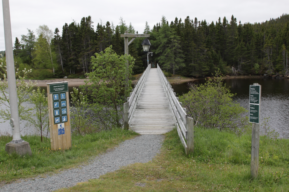
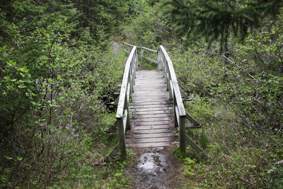
I initially walked by this footbridge and thought it might be a good place for Cathy and I to walk later. As I got near the trailhead, though, I discovered where the RV parking is so went back and moved it from the less-than-ideal spot I had parked it.
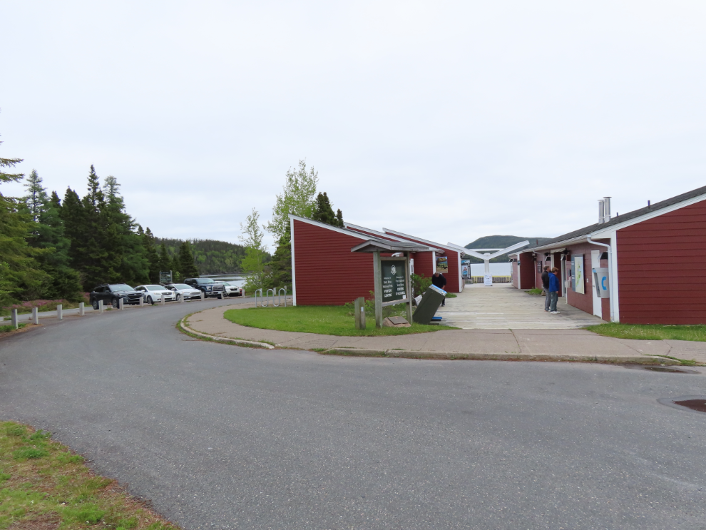
On the left are a couple of tour businesses, on the right is the Visitor Centre.
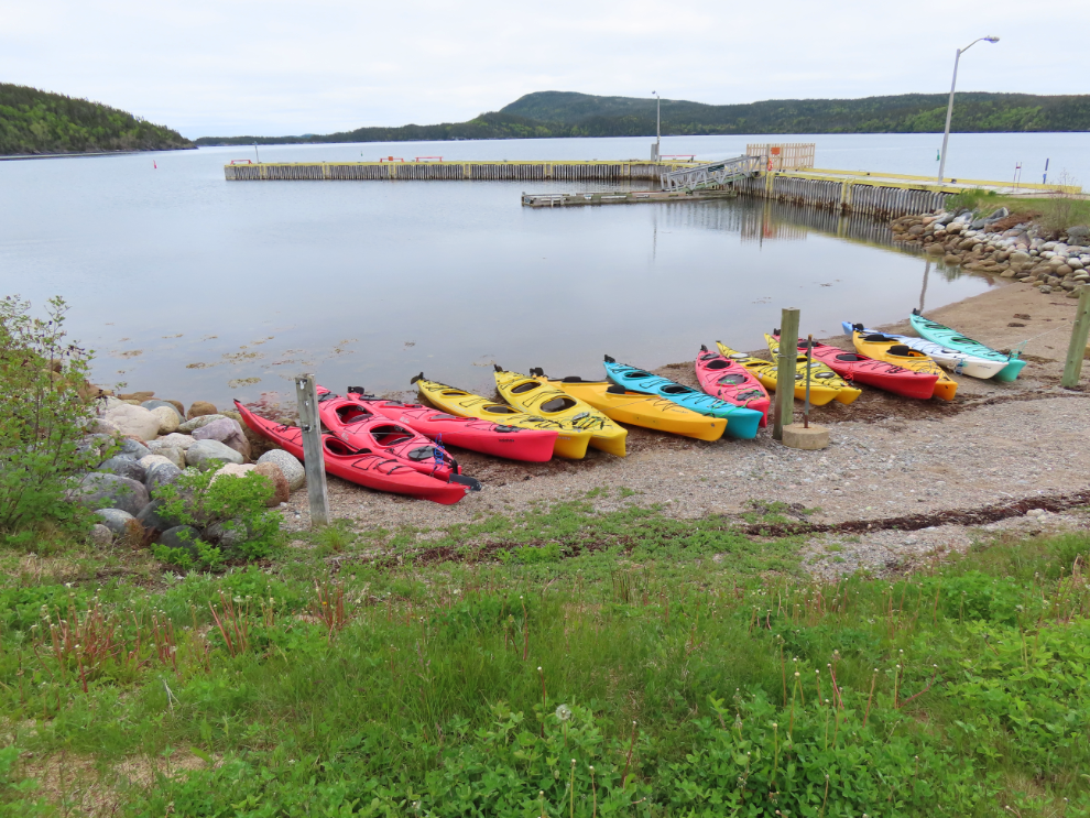
Several kayaks were ready on the beach for folks who wanted a saltwater experience on the sheltered waters of Newman Sound.
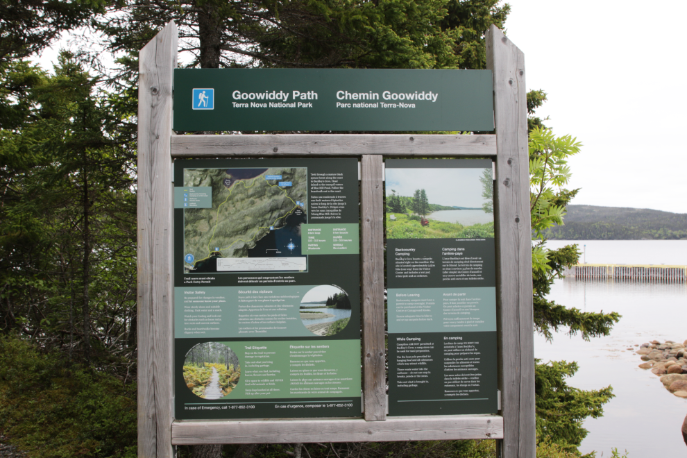
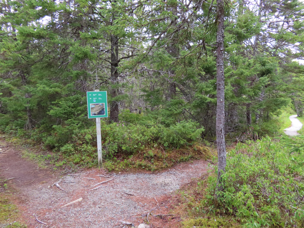
At the Goowiddy Path trailhead is a large information panel with map. At 11:04 I started out.
This is the way the trail starts. Very nice – exactly what I was hoping for 🙂

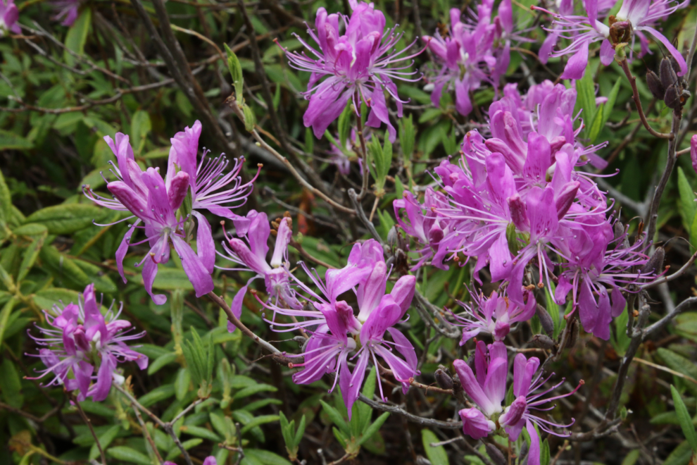
There were a lot of Rhododendron canadense along the trail. I had first seen this showy species at Gros Morne.
The first bridge.
Eight minutes from the trailhead the trail splits – you can go right and start along the coast, hiking the loop counterclockwise, or go left into the hills, hiking it clockwise. Some people seem to not do the entire loop, just going left to Blue Hill Pond and back, or right to Buckley’s Cove and back. A couple of minutes later, I met a couple of women who had spent the night at Buckley’s Cove, the only camping site on the trail.
Looking back towards the trailhead. I expect this is a popular spot on a warm day. The forecast for today called for periods of drizzle or rain with a high of 12 – not great beach weather 🙂
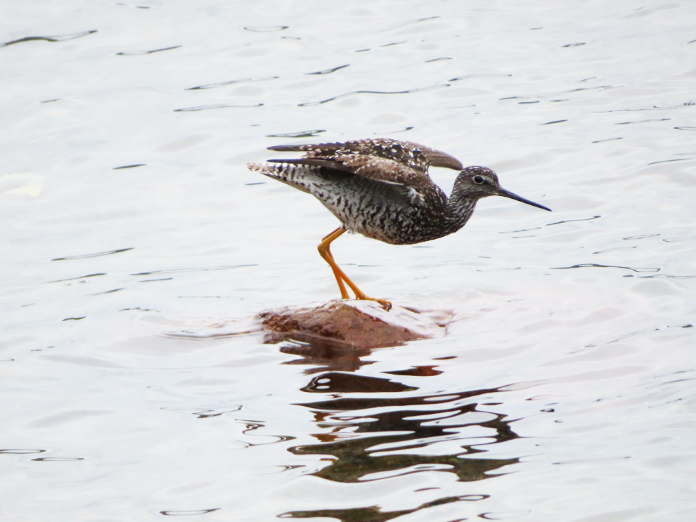
I got a nice look at a Greater Yellowlegs (Tringa melanoleuca) along the shore.
A deep cushion of moss in the coastal forest.
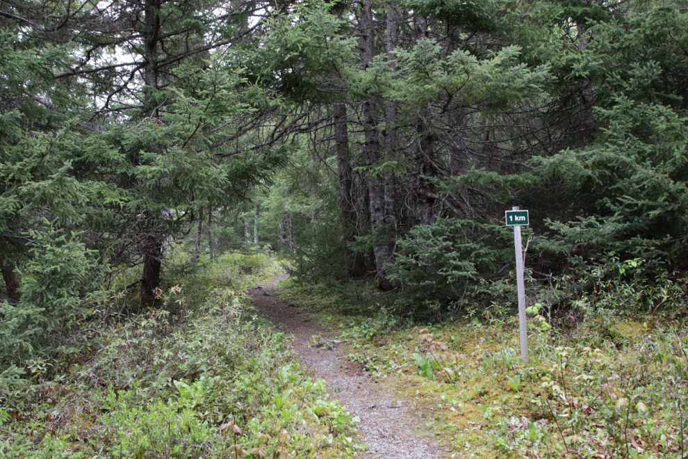
“1 km” – I sometimes like seeing distance markers.
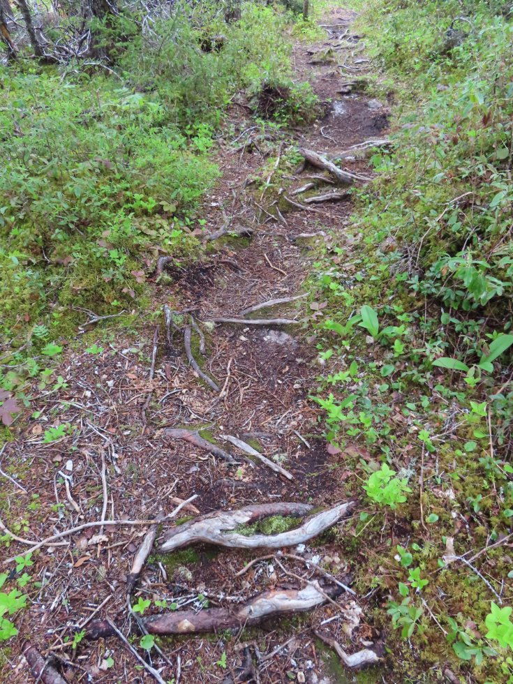
This is the common trail surface, with lots of exposed roots and rocks.
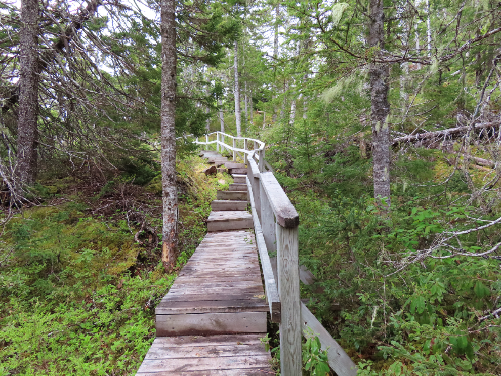
Within 20 minutes I was already impressed by the stairs and boardwalks.
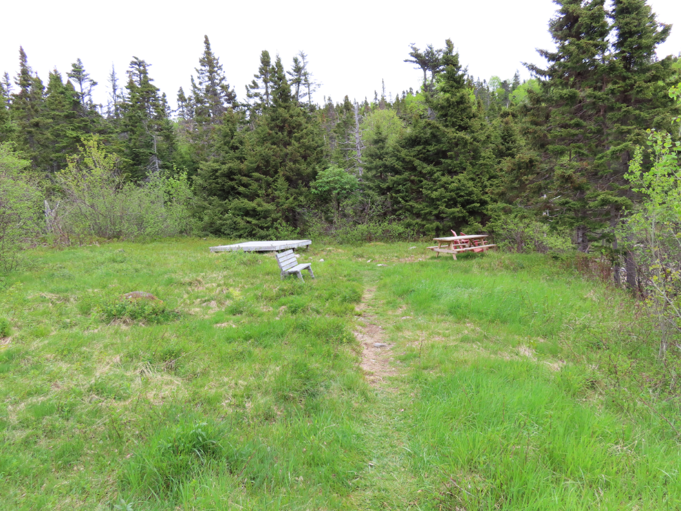
This is the camping area at Buckley’s Cove, with one tent platform, a picnic table, and a bench.
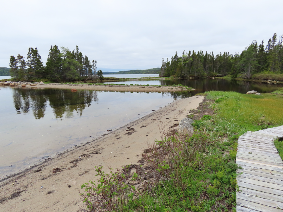
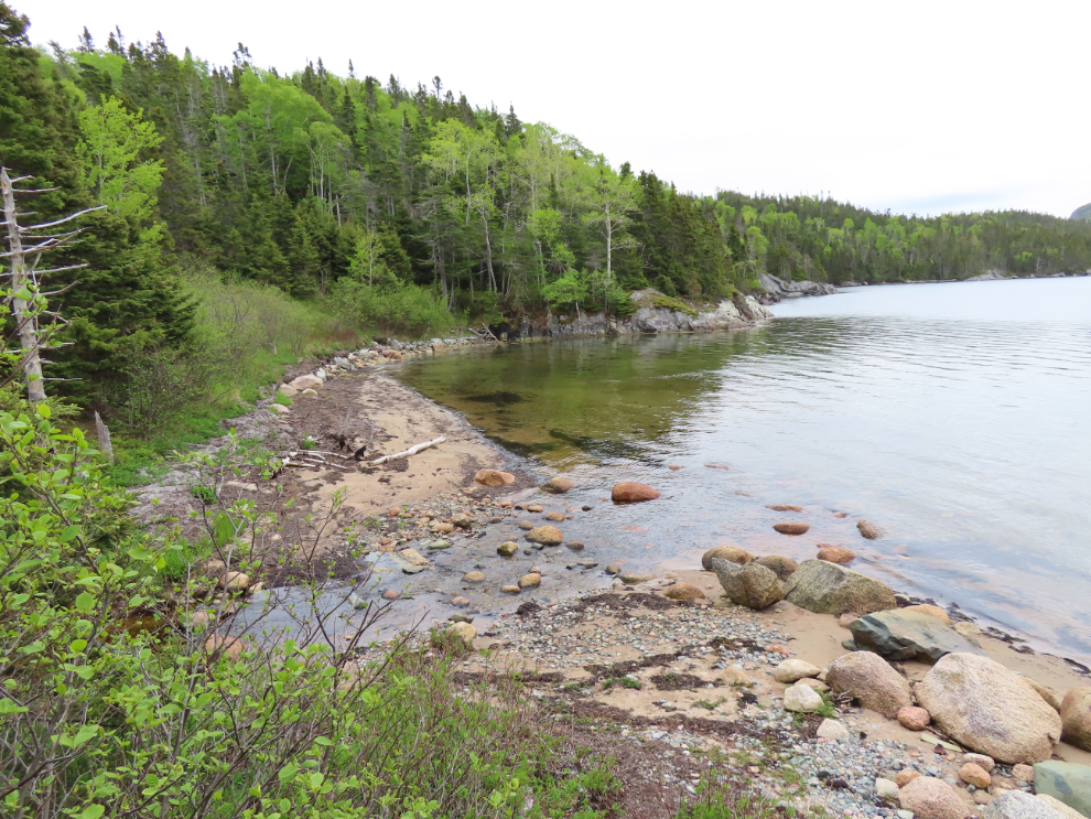
The beach at Buckley’s Cove.
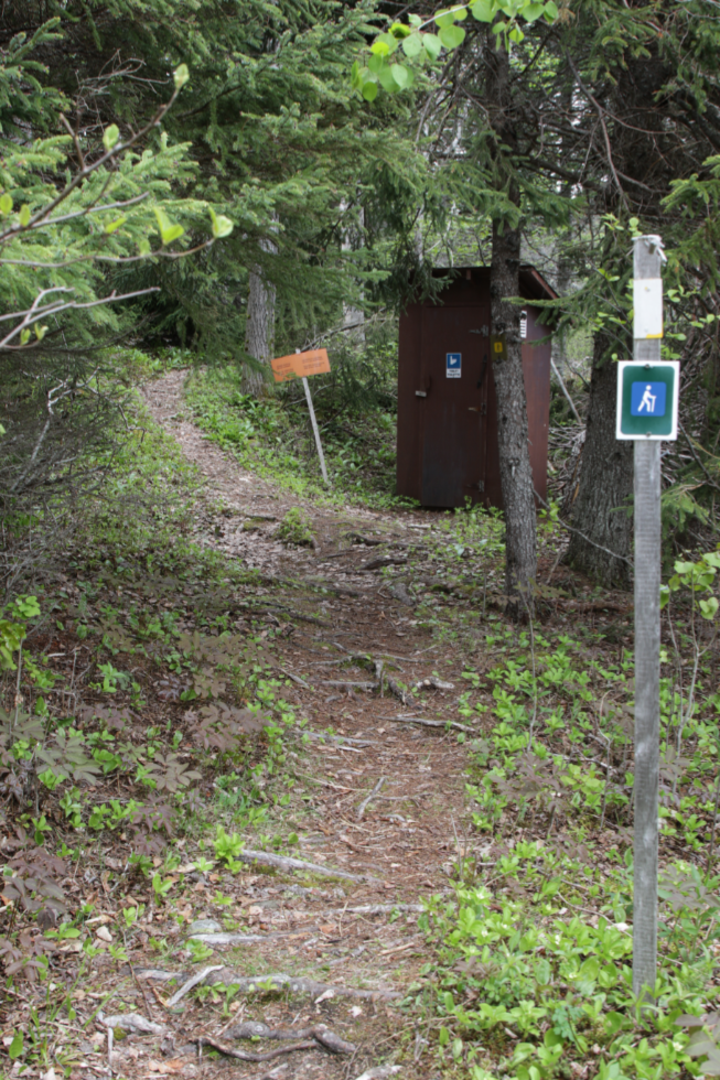
Back on the trail. The only outhouse on the trail is at the Buckley’s Cove junction.
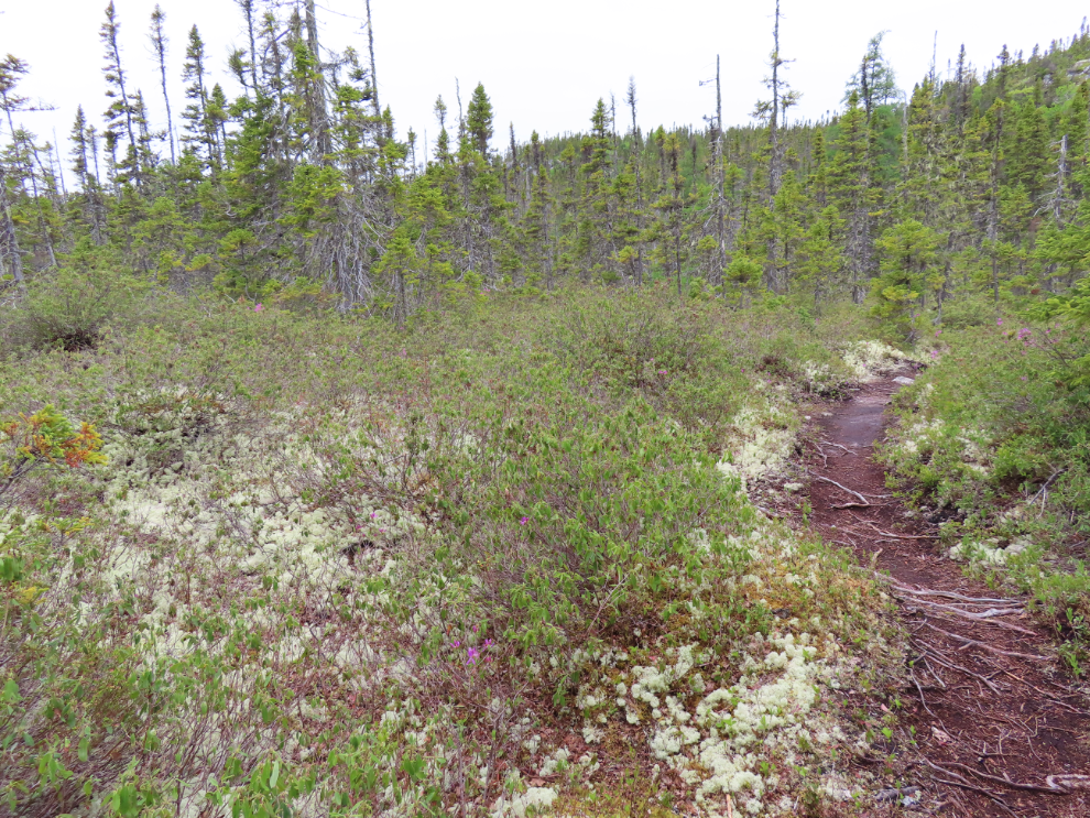
Heading up into the hills, into a very different ecosystem.
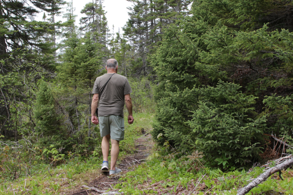
I was thoroughly enjoying this trail. Although they were back with my tripod when I shot this, I was carrying a hoodie and jacket in case the rain came.
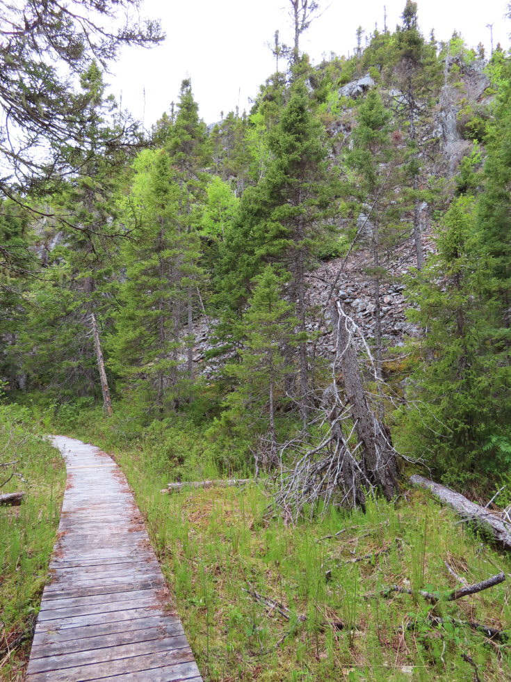
The only rocky cliff along the trail, at about km 4.5. I had now been on the trail for an hour and 15 minutes.
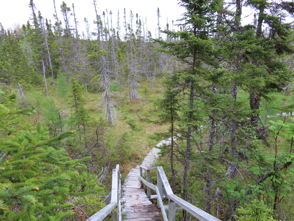
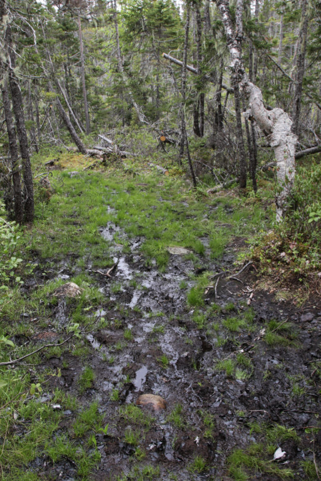
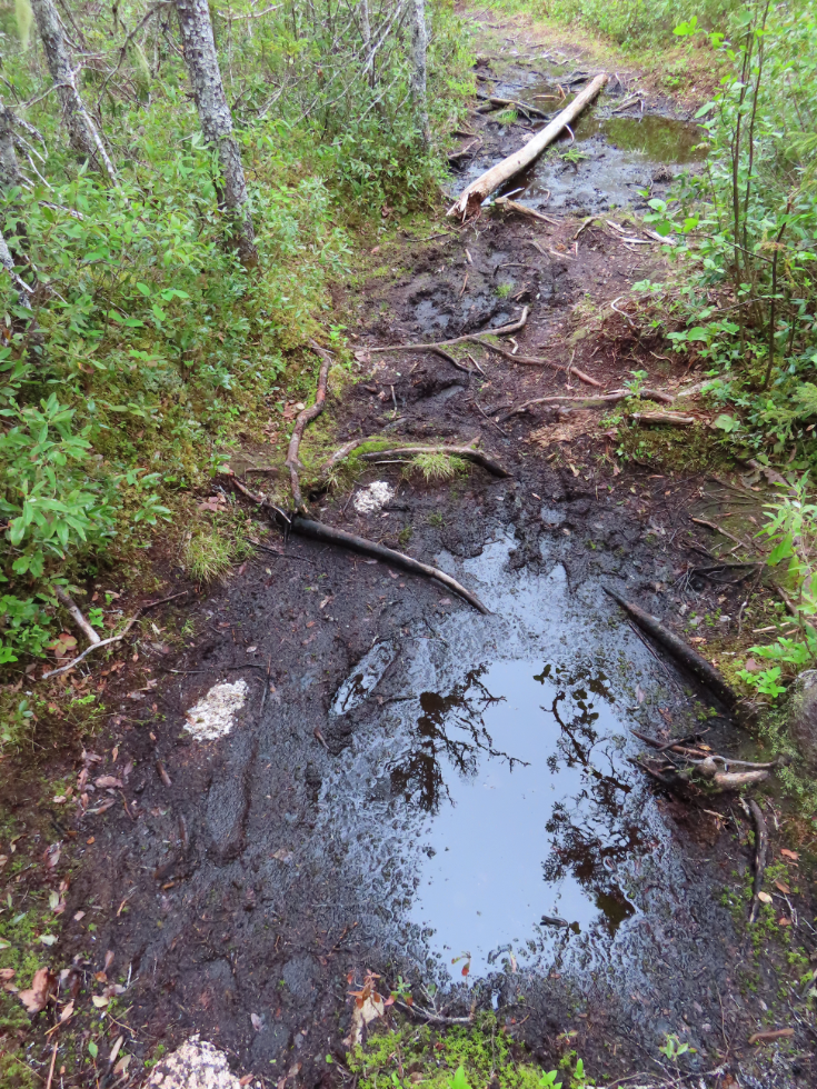
Up at the top of the loop (km 4.5 to 5.5 approximately) there were several ugly stretches of mud and water to negotiate.
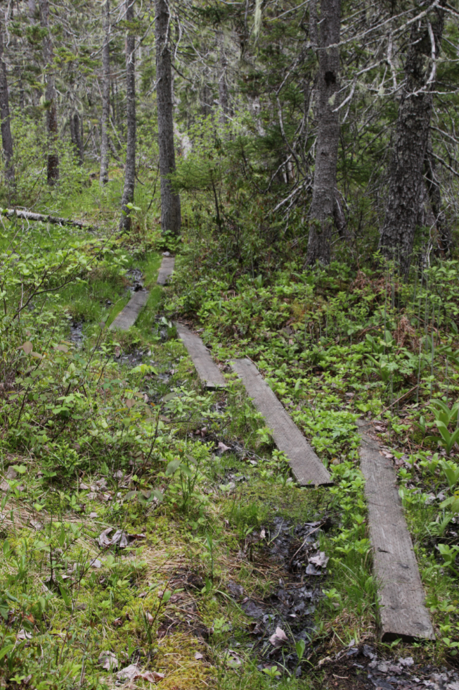
The beams placed across the mud here were greatly appreciated.
More of the mud and water.
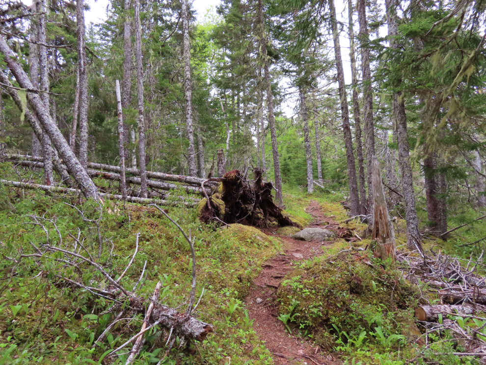
There were hundreds of trees down along the trail, and many had fallen across the trail but have been cut away.
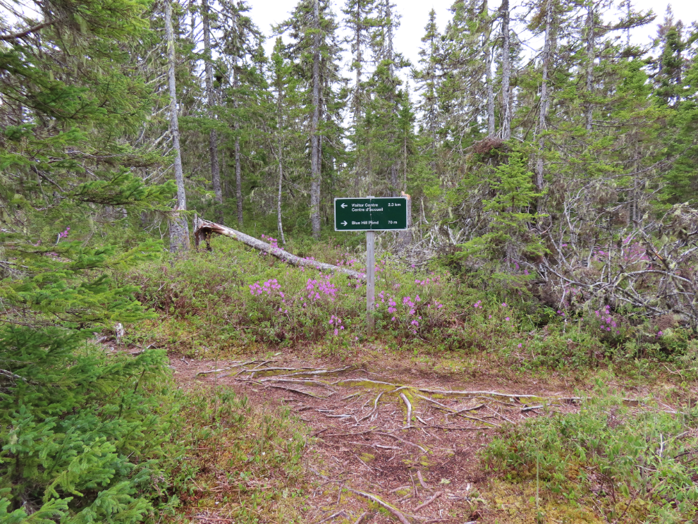
The Visitor Centre is 2.3 km to the left of this junction, Blue Hill Pond is 70 meters to the right.
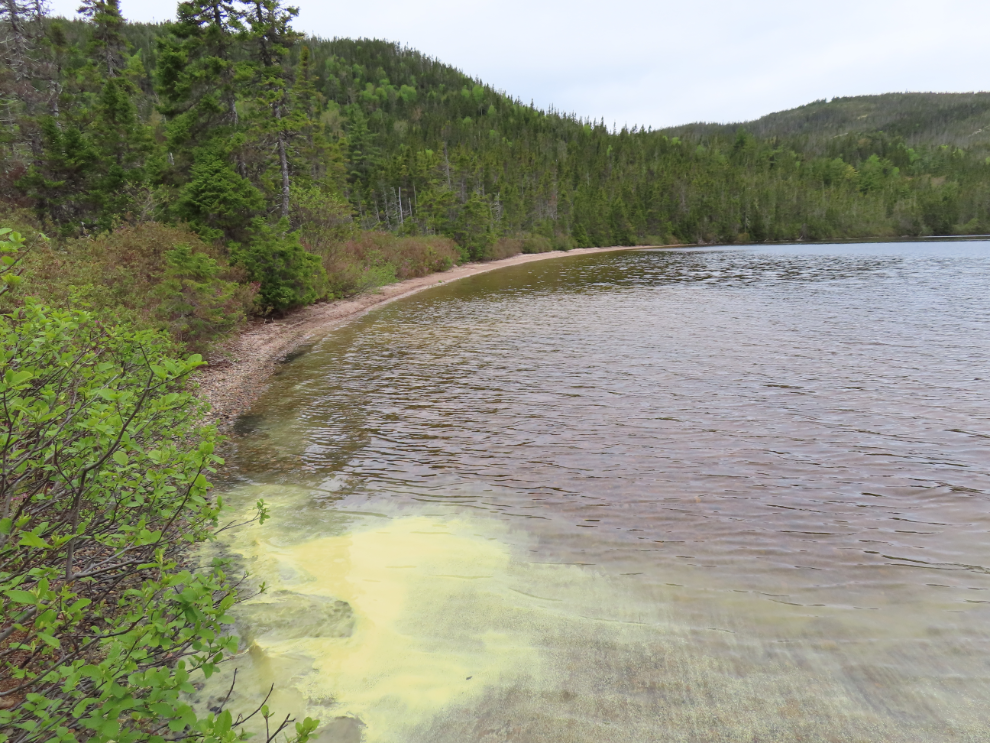
Blue Hill Pond, with lots of spruce pollen on the water. That beach might be nice at much lower water levels, but alders blocked access to it this day.
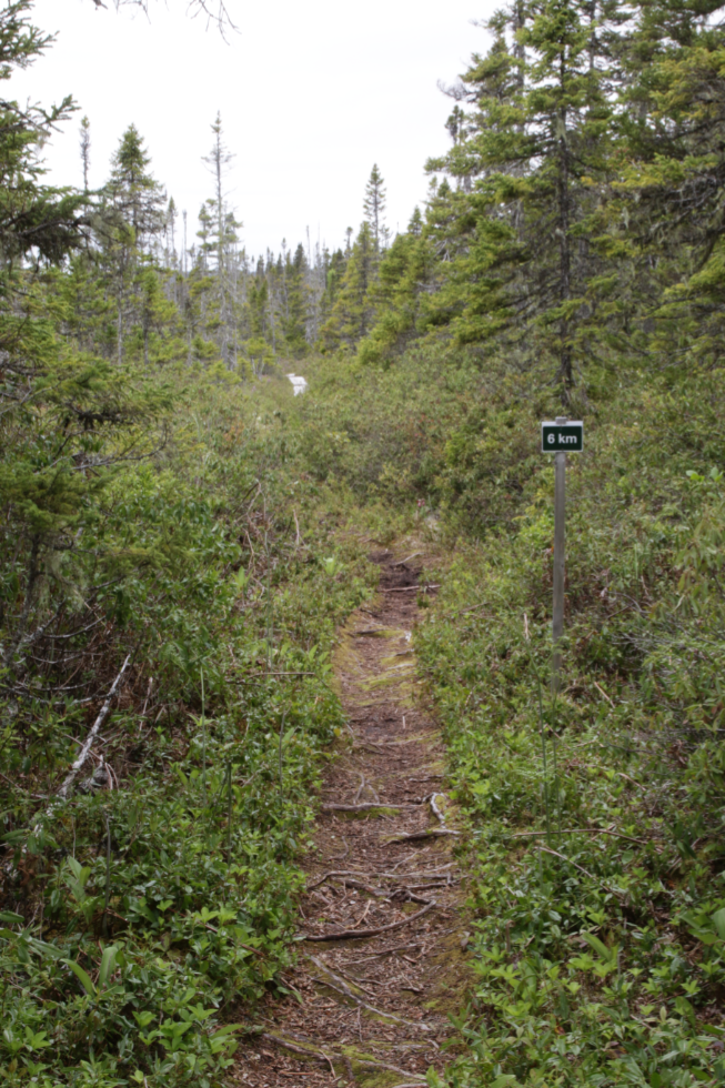
The trail as it looked at km 6.
This lovely sidetrack is on a very lengthy section of boardwalk.
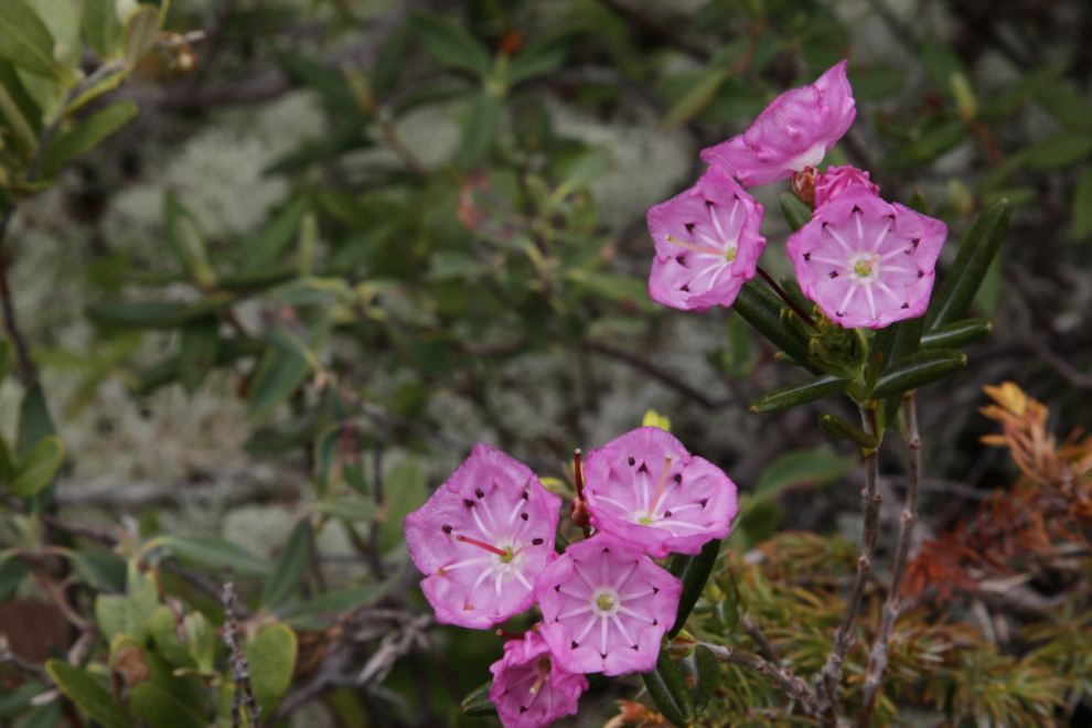
Bog Laurel (Kalmia polifolia) is uncommon along the trail.
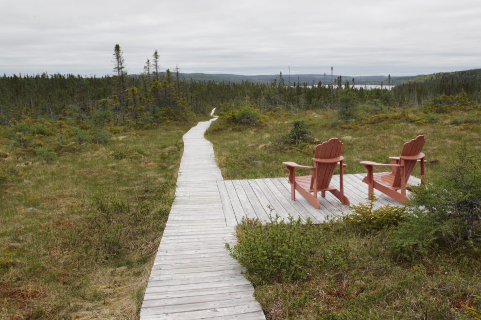
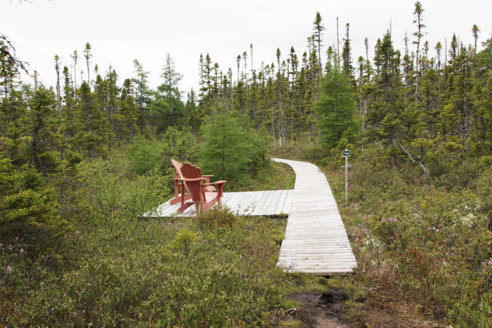
More nice benches right at km 7.
Even with all my exploring and photography, I got back to the Visitor Centre 2 hours and 40 minutes after starting out.
I’ll tell you about the rest of the day in the next post.