Exploring Port au Choix – limestone barrens and 5,000 years of history
Sunday, June 14, Day 17 of our trip and the 10th day in Newfoundland, was intended to be a partial day to explore Port au Choix before moving on, but we very soon decided to stay another night. As I write this, it’s our favourite community so far.
My Facebook post to start the day, with this photo, said “08:45 – what a superb morning ♥️ This is the view from our doorstep – it’s 8C with a chilly N wind. We have the flexibility to stay another day and that may well happen.”
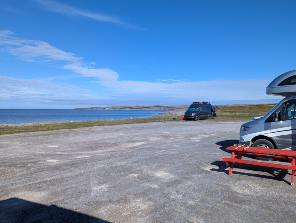
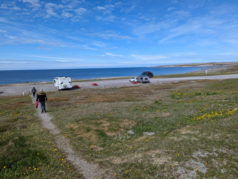
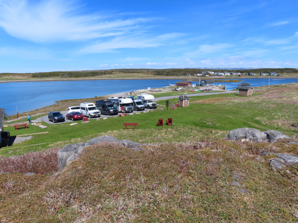
A large part of the decision to stay was the quality of the Oceanside RV Park – we booked another night before leaving for the day. This was the view across the sites from the washrooms.
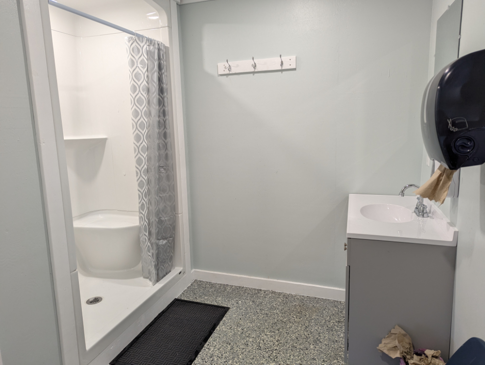
The washrooms are very nice and the entire property is maintained at a very high level.
My beach wander the previous evening had been done in flat light, and I hoped to repeat in this day’s beautiful light, but I ran out of time and didn’t get it done.
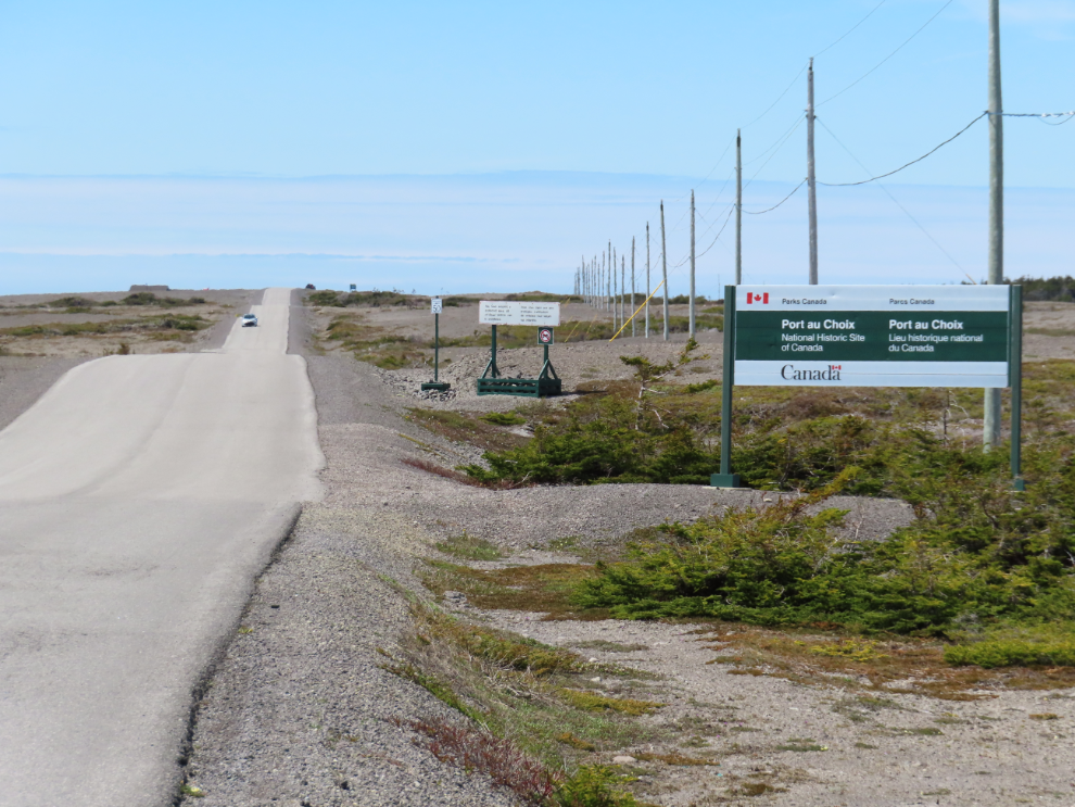
Our first stop for the day was the Port au Choix National Historic Site Visitor Center, just 3.2 km from the RV park.
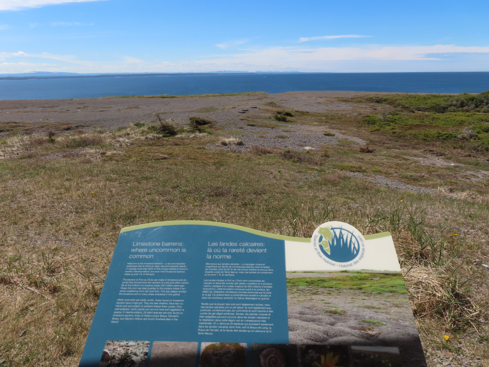
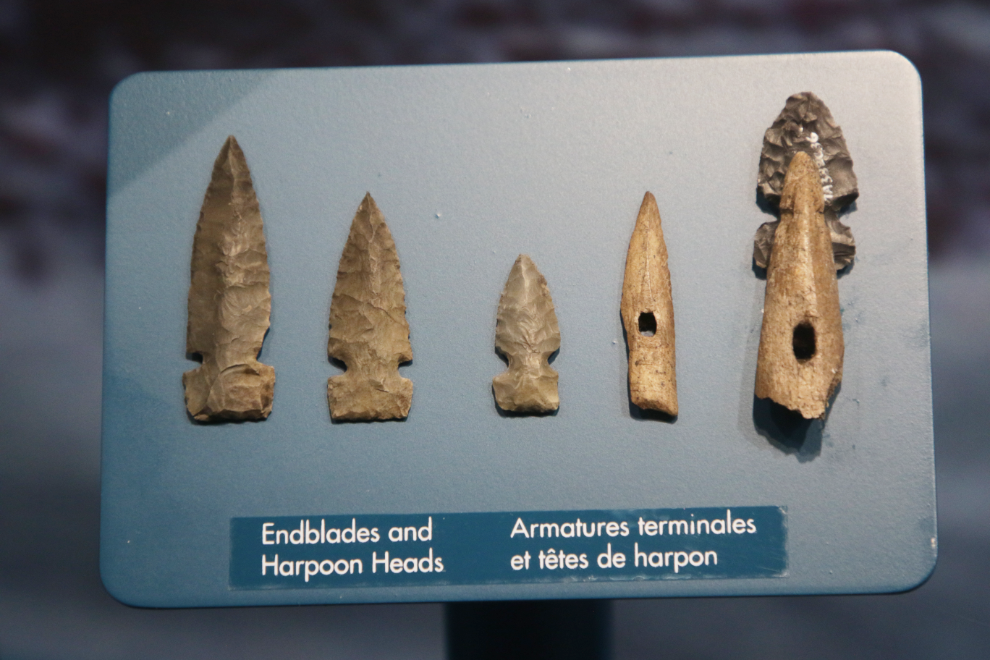
The interpretation of the limestone barrens ecosystem and the various people who have lived at this location over the past 5,000 years was, of course, excellent, starting with this limestone barrens panel outside.
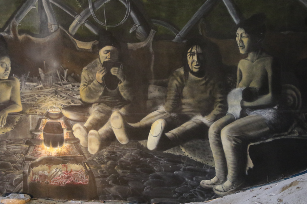
The great room where Cathy is sitting in the next photo draws you into the family grouping that’s being discussed in that panel.
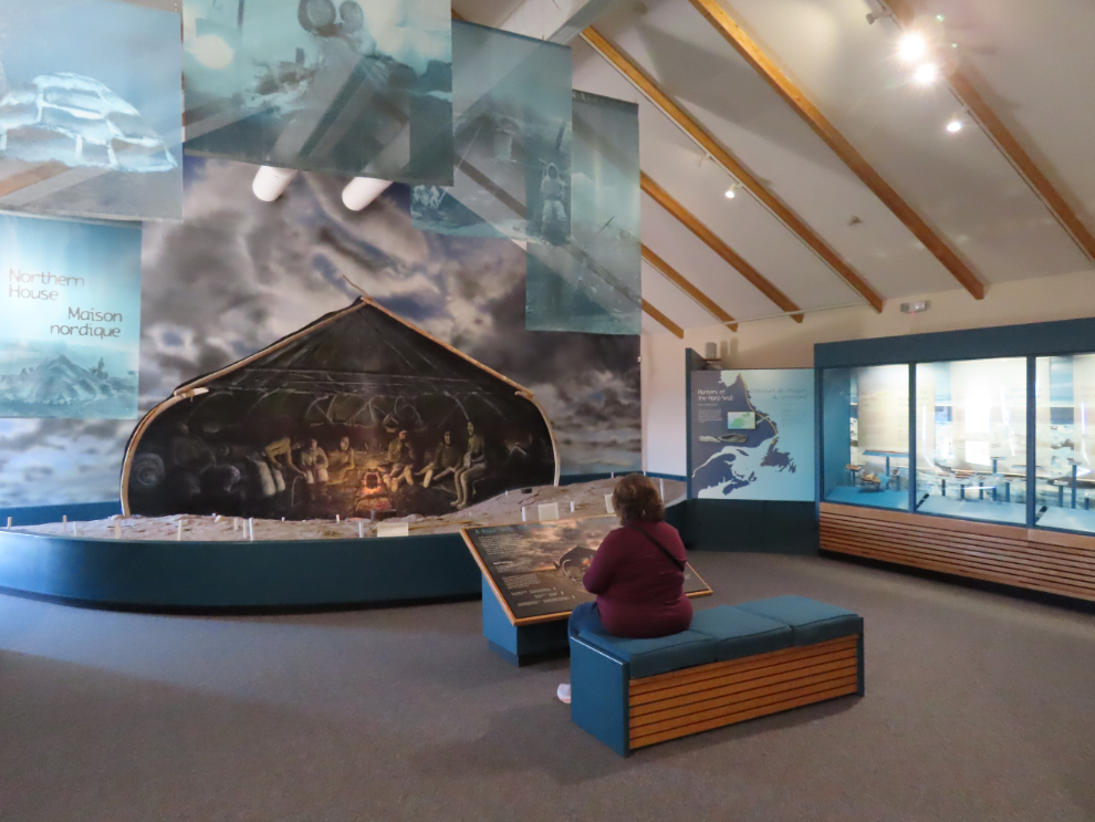
I spent a long time with the many panels and display cases showing the techniques for building tools, in great detail.
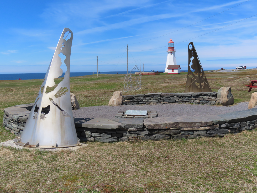
After spending almost an hour at the Visitor Center, we drove another 2 km out to the Point Riche Lighthouse. The whale-watching binoculars are a nice touch.
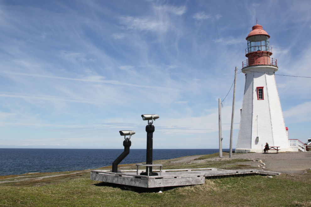
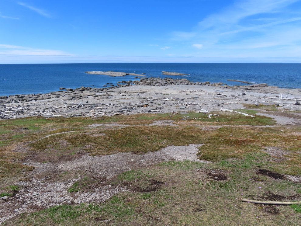
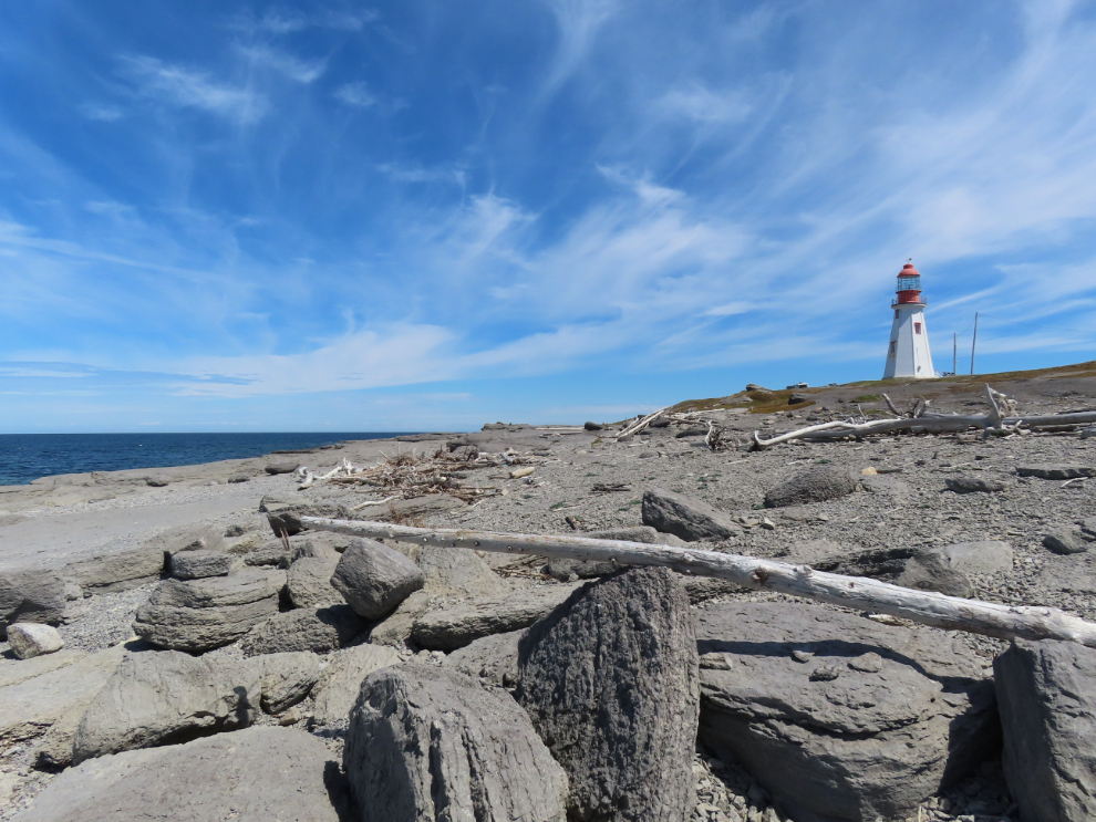
The point itself is quite a contrast to most lighthouse locations I’ve visited and is particularly visitor-friendly on a day like this.
This monument marks one of two large Dorset Palaeoeskimo sites in the Port au Choix area.
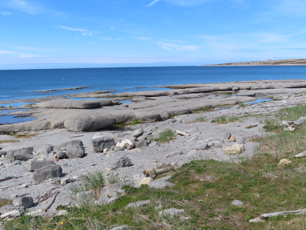
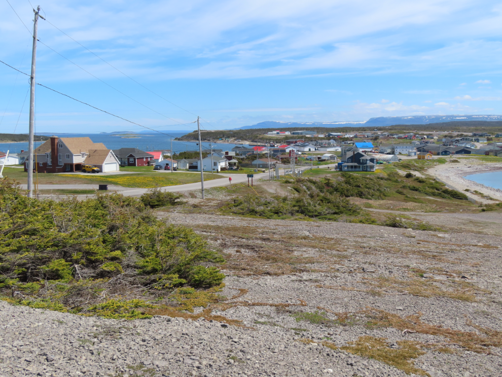
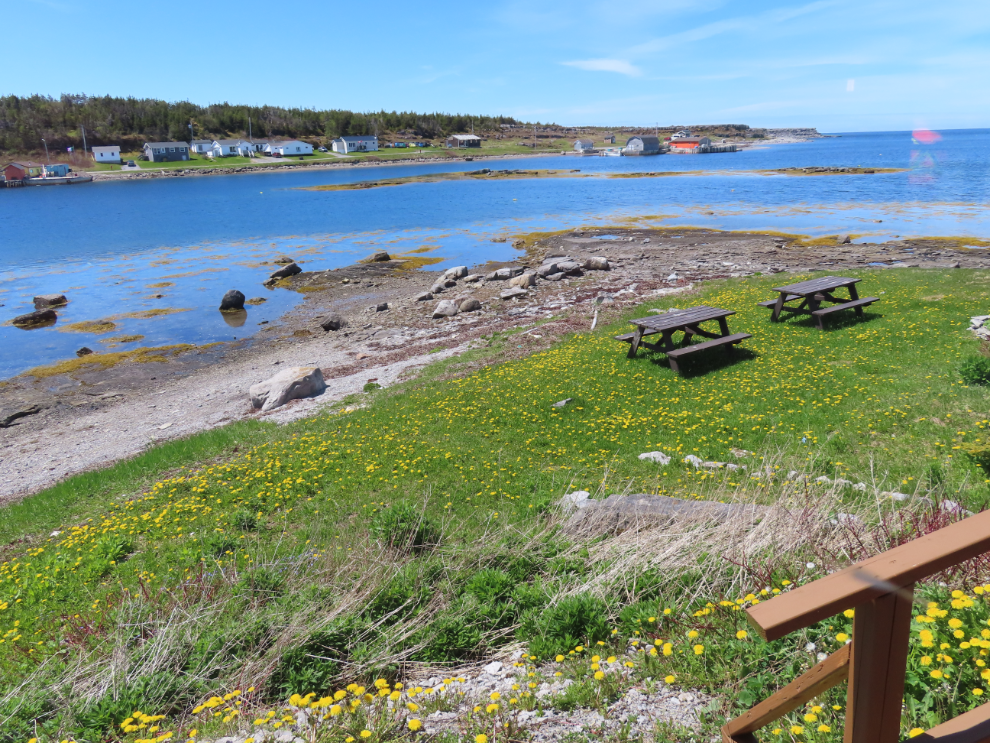
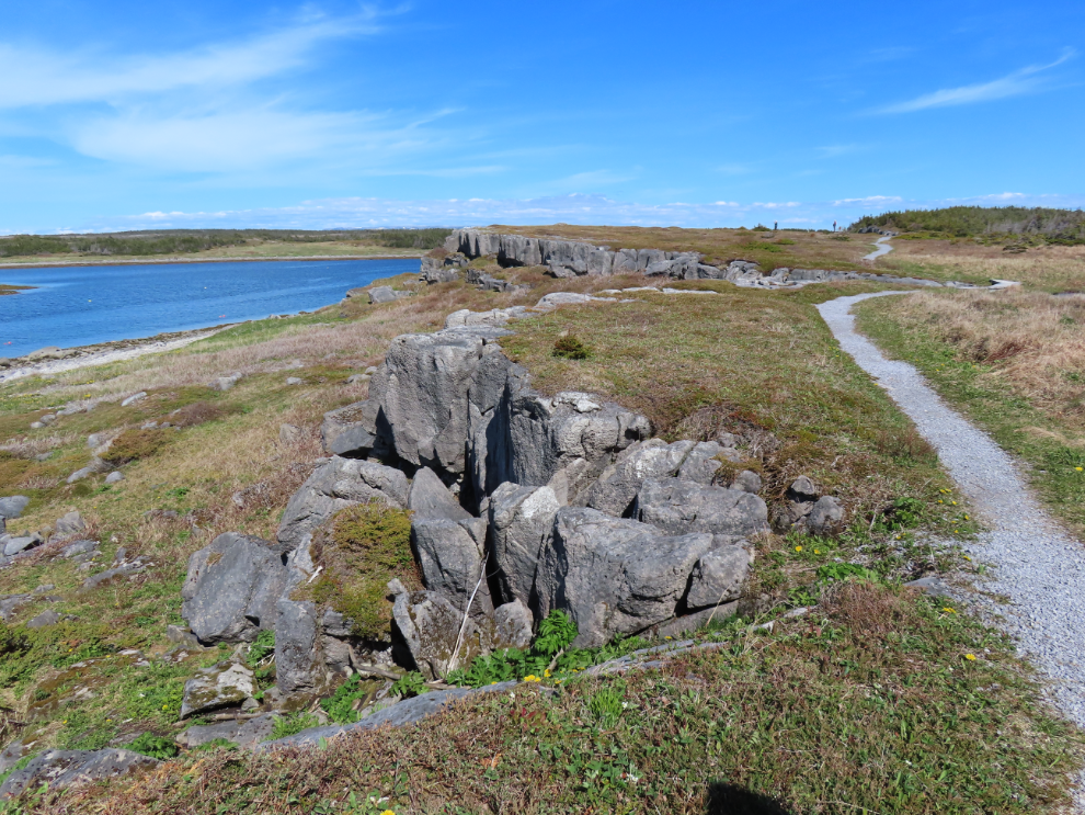
A large pullout along the road from the lighthouse allowed me to get a good photo of Port au Choix, with Back Arm on the left and Gargamelle Cove on the right.
We next stopped at the “Maritime Archaic Cemeteries.” The term Maritime Archaic is used to describe “the culture of the Indian people who exploited the resources of the Atlantic coast from Labrador to Maine between 7,000 and 3,000 years ago. Little was known about them until these cemeteries were excavated in 1967 and 1968. “The rich and well preserved assemblage of artifacts buried in the graves indicated a people whose technology, economy and spiritual culture we intimately associated with the sea and its resources.” While many of these artifacts used to be on display, nothing is anymore, pending a thorough understanding of the cultural sensitivities of displaying grave artifacts
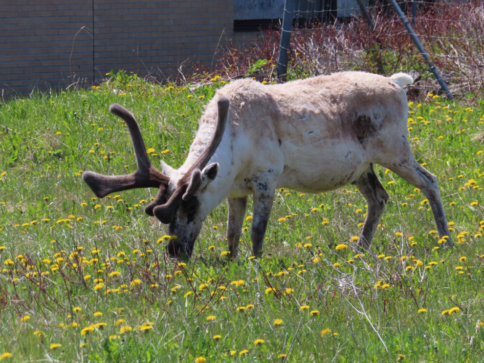
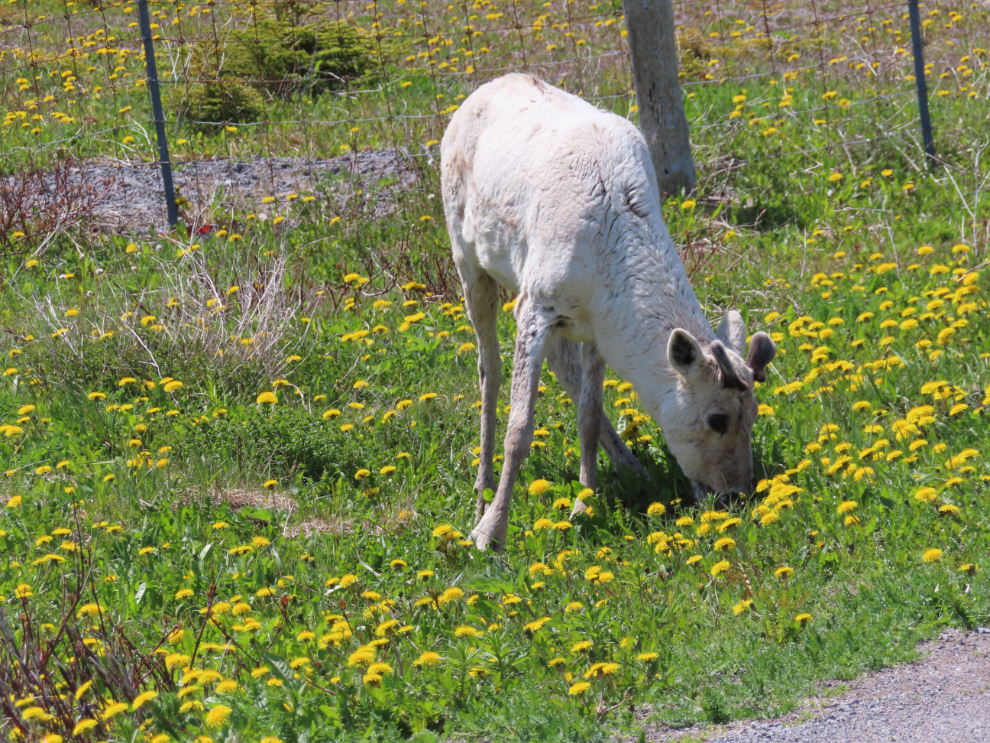
Cathy had read about a caribou that’s been hanging around the Port au Choix town hall, and we were thrilled to encounter two of them browsing among the homes 🙂
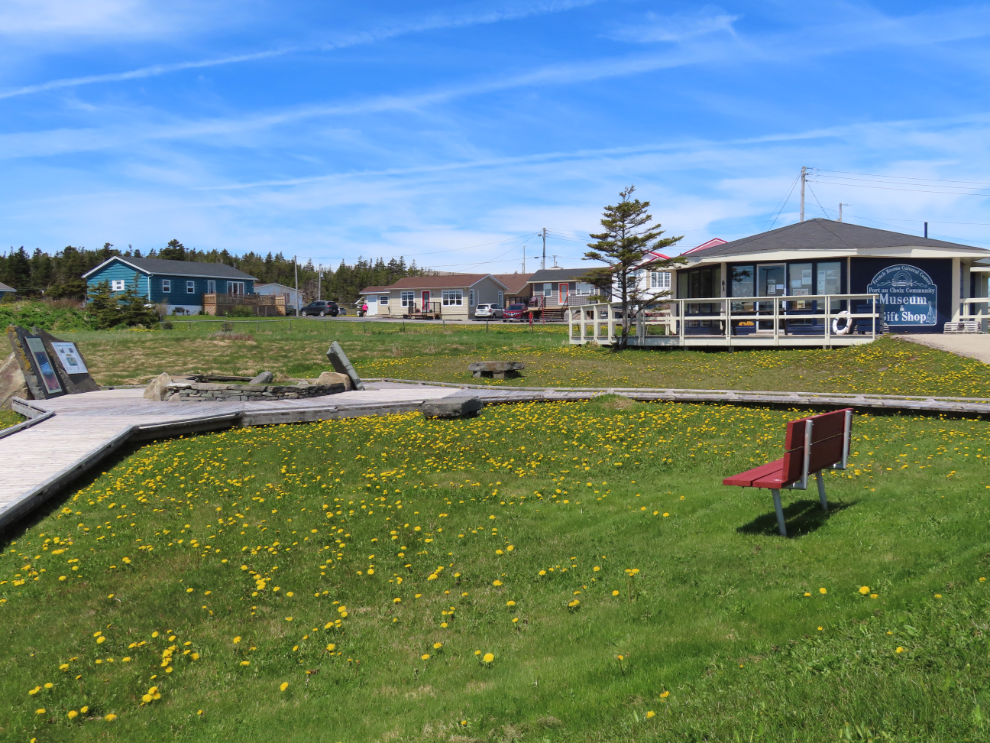
Cathy really wanted to go to a demonstration and tasting of bread cooked in a traditional French stone bread oven and had read that it’s very popular so we were there over an hour early to get the RV parked.
When we arrived there was a fire burning in the oven, but I didn’t yet understand how the bread would actually be cooked.
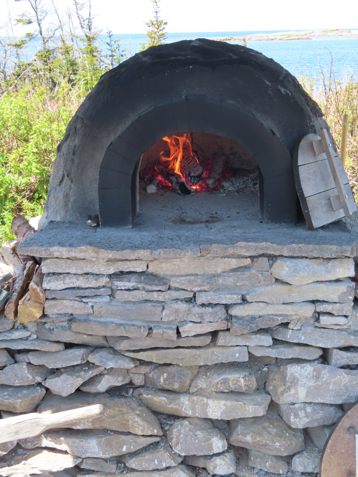
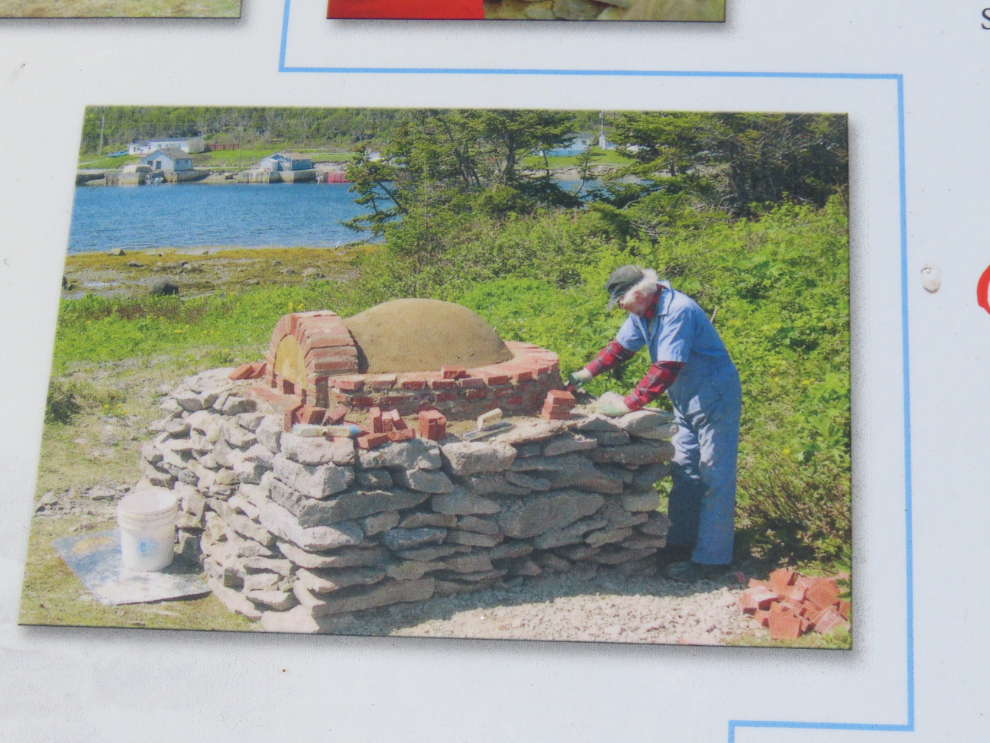
The next photo shows the oven being built. The concept is simple – because of the mass, once a fire heats the oven, the fire can be cleaned out and the oven retains heat long enough to cook.
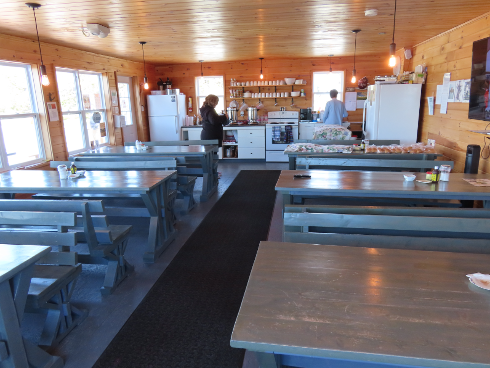
This is where the event is held. We got our tickets ($13.50 each), explored a bit, and I went back to the RV for short recovery nap.
What a lovely location!
After the the fire was cleaned and swept out, we all went outside to learn about the process. The dough was put into the ven which was still at about 350-400 degrees…
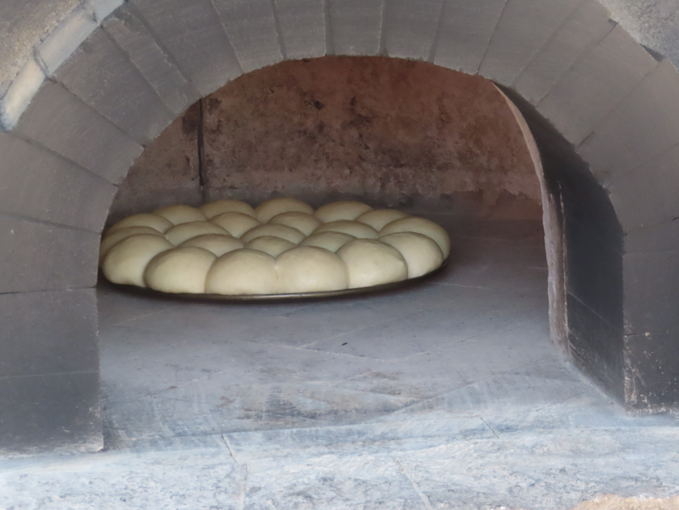
…and in less than 10 minutes, there it was.
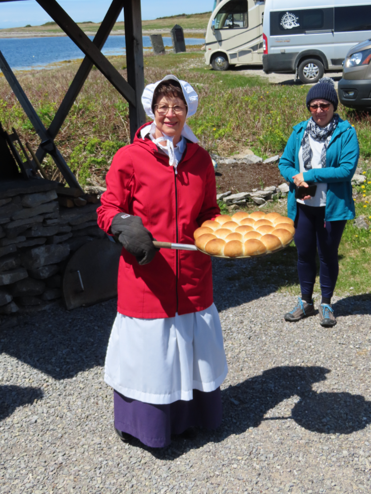
I got a little jar of partridegberry jam and a cup of hot chocolate to go with my bun, and it was delicios. Then came storytelling and accordian playing by a character who was a cod fisher since his childhood, until the fishery was shut down in 1992. He was both entertaining and informative. The entire experience was well worth attending.
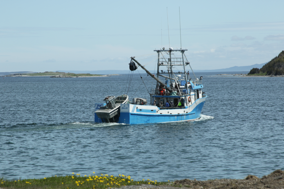
I grabbed a shot of a fishboat departing as we drove to our final stop.
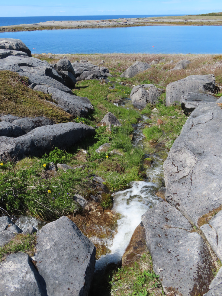
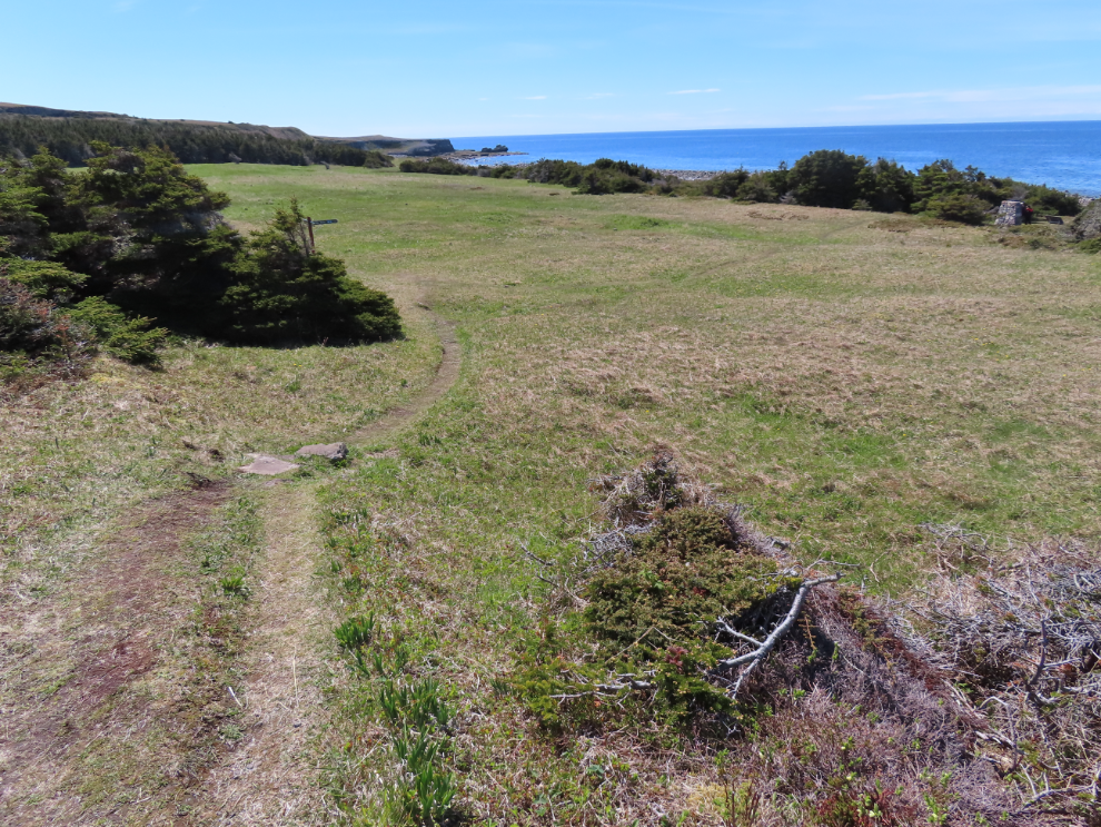
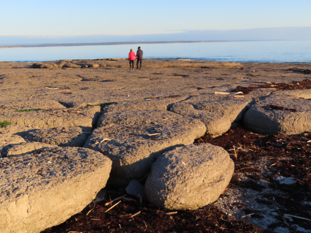
A 2.5-km walk took us to Phillip’s Garden, a large 2,000-year-old Dorset Paleoeskimo habitation site, and back. The first photo of the trail looks back at the tiny parking lot.
A boardwalk takes the trail across a wet area along a small creek with a waterfall.
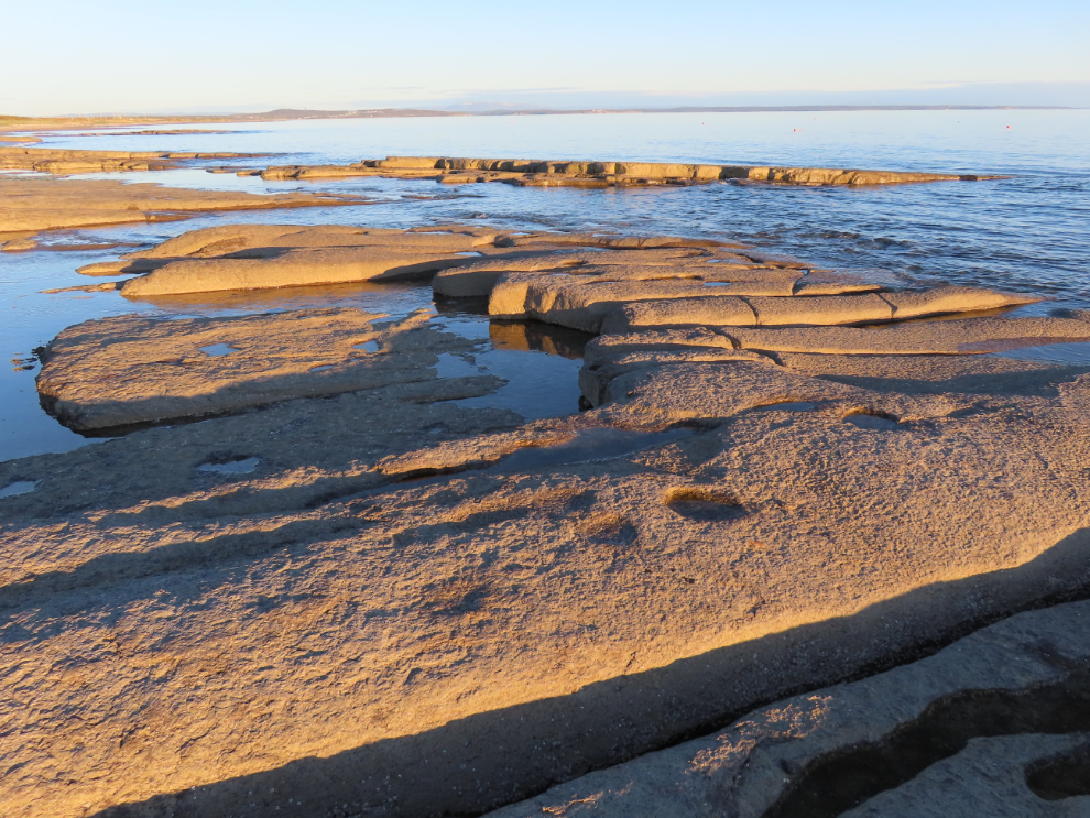
The next photo shows the main part of the site. This was a winter harp sealing hunting camp that was used for over eight centuries by one or two families or hunting teams, though at its peak there were as many as two dozen families here, and at least fifty house locations have ben identified.
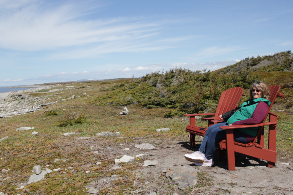
Cathy on the beach below the main site. Beautiful, historic, and silent – how utterly perfect.
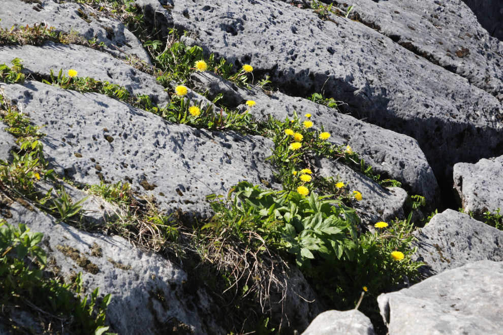
Limestone, high PH, whatever, we can still bloom! 🙂
On a day like this, the Phillip’s Garden Trail is as pleasant a walk as you’ll find in Newfoundland – it was a great way to end our day of exploring.
Mother Nature wasn’t finished with her gifts to us, though – that evening on the beach in front of the RV park made us wish we didn’t have to leave.
The next day, we would we start a 2-day drive to Twillingate, planning to just park along the highway somewhere tomorrow night. It didn’t actually turn out that way 🙂