Another hike to the historic Venus silver mine
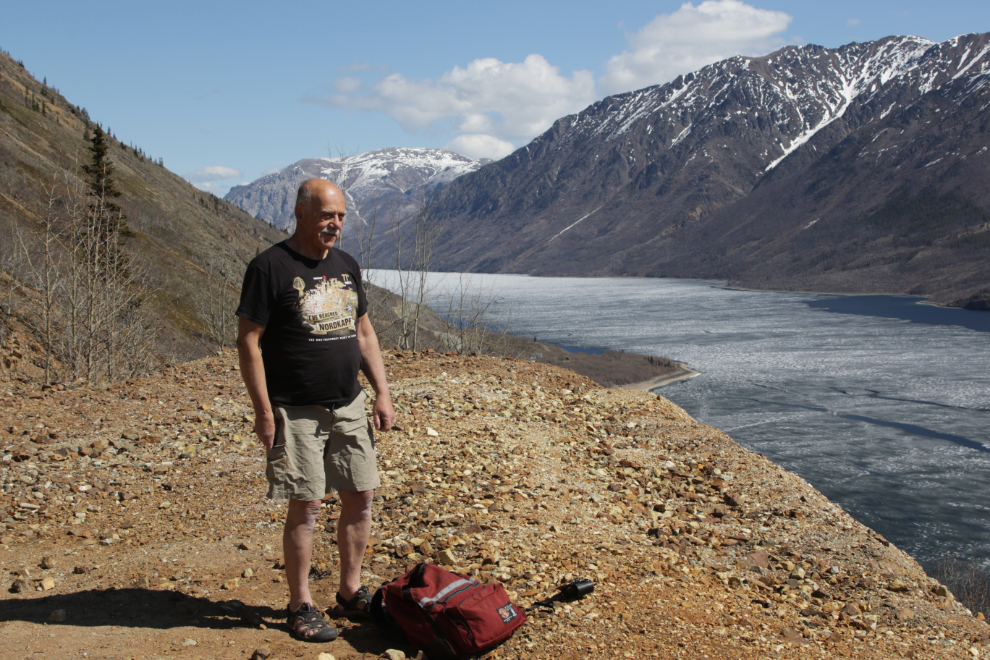
The Venus Mine has become not just an awesome destination for a hike, but also a test for me to assess how I’m doing. Being able to reach the mine is always extremely gratifying, and I was about 65 years old when I recognized it as something to celebrate – yesterday, at 75, that’s exactly what I did. It has taken me 50 photos to tell you the whole story of this particularly fine day.
I was quite sore when I left home at 10:00 yesterday morning. The clinical trial program I’m on requires that I do at least three 70-minute guided aerobic workouts each week, and with some heavy firewood and yard work added, I’ve been doing a lot more than that. The “aerobic” videos are more stretching than anything close to working up a sweat, but it’s a lot of stretching.
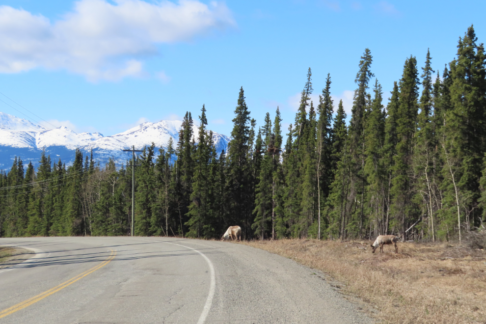
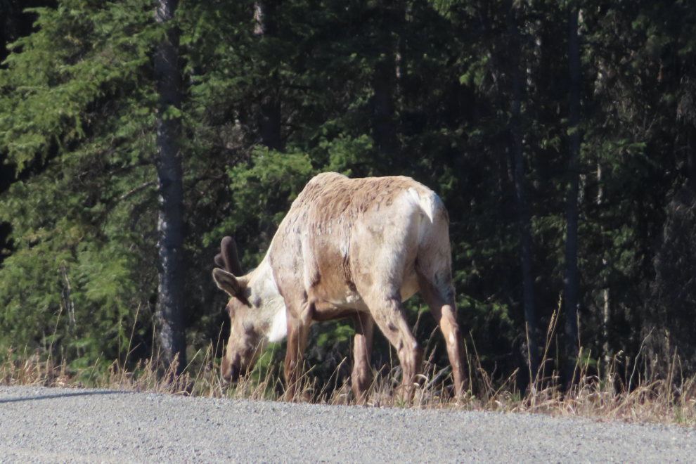
Anyway, I had to make a detour to gas up (at $2.099 for regular now), then pointed the Tracker towards the Venus Mine. Just before reaching Robinson, I met two caribou – what a great way to start the day. I actually drove past them, then decided I wanted to spend some time with them if possible, so did a couple of U-turns but stayed way back so as to not disturb them.
The screen on the little Canon (an SX740) is all but impossible to see for long shots in bright light, and I only got one bum shot at 960mm.
The light was superb, so I decided to stop at Rat Lake for a photo. The first one was shot from the shoulder of the road…
…but then I went for a walk to see what other photo options there might be from that ridge.
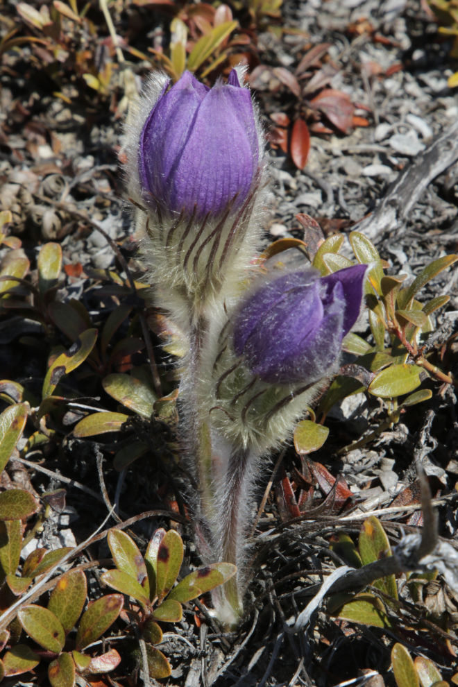
The ridge turned out to be the home of hundreds of crocuses, so I spent a few minutes among them. These first two stops, to spend time with caribou and crocuses, might give you an idea of why I almost always hike alone. It took Cathy years to get used to the way I wander.

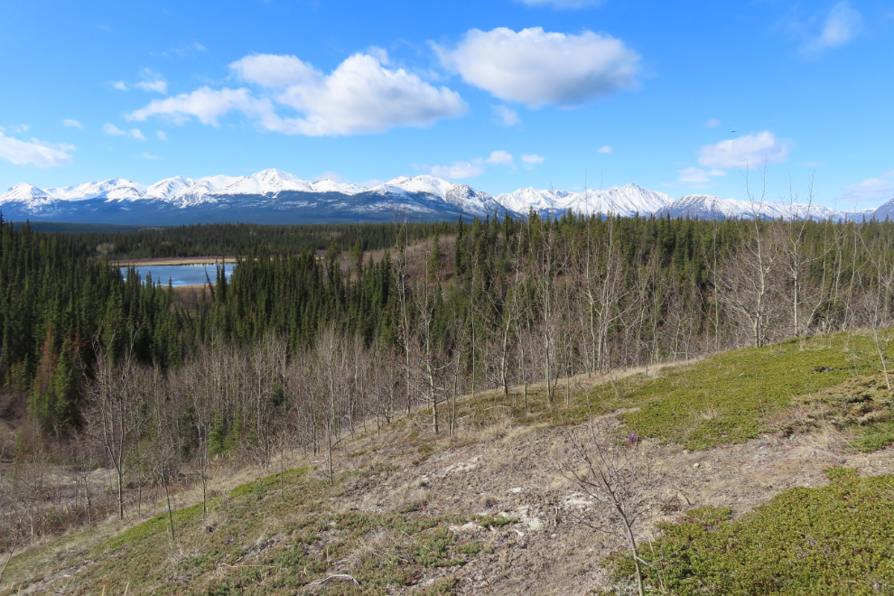
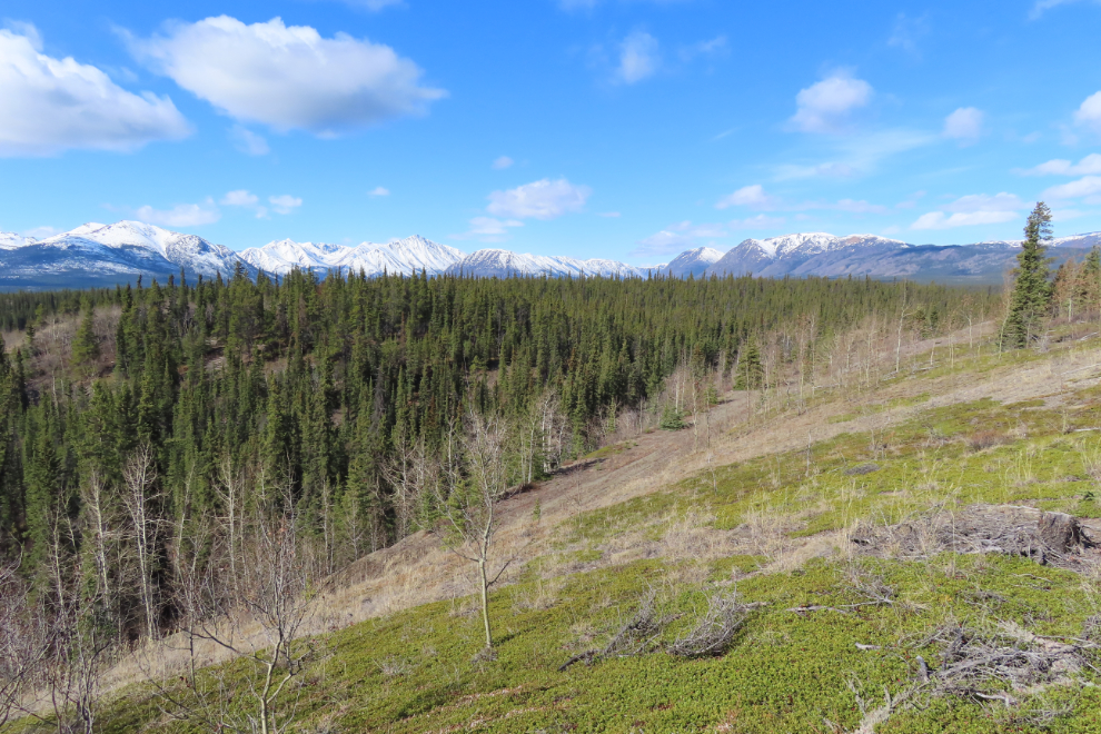
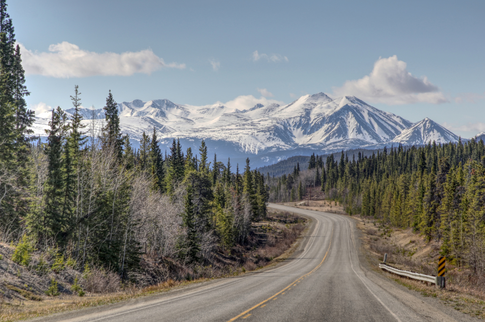
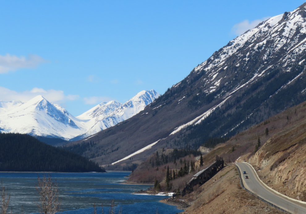
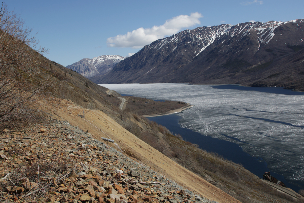
I stopped three times between Lewis Lake and Carcross for various views looking down the highway. The next photo was the view I like the most, but the light wasn’t very good so I boosted it with hdr. It’s a bit harsh, but you get the idea.
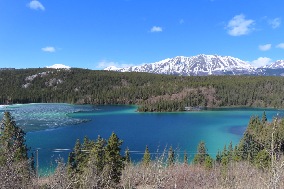
The light was perfect at Emerald Lake, so that was the next stop. My blog post “When Does the ice leave Emerald Lake??,” posted 14 years ago, is a perennial favourite as that’s one of the most common questions asked by early-season Alaska cruisers. I’m going to add the next photo to that post as well.
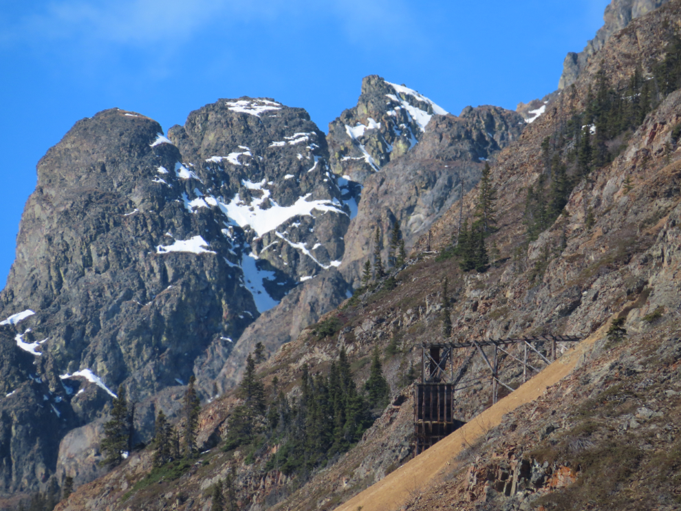
Several years ago, I got a shot of the Venus Mine from the highway that I particularly like. It can only be seen from one spot, and I keep forgetting exactly where that spot is. This morning I was determined to find it. It’s right where Pooley Creek flows under the highway in a culvert. The photo was shot with 600mm of zoom on the little Canon.
This is Pooley Creek, which flows out of a spectacular canyon where the historic Vault silver mine is located.
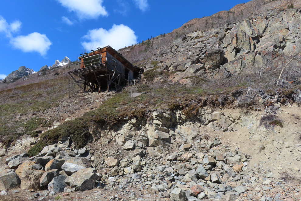
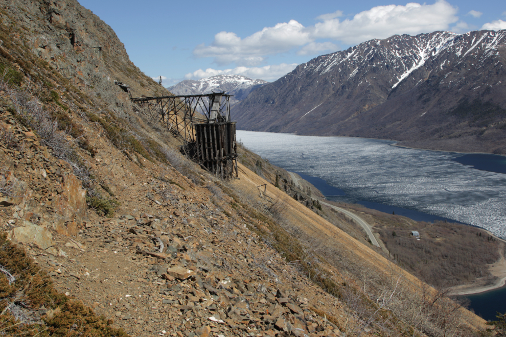
A few hundred feet further south, I stopped for a photo of the mill of the Venus mine, because I only have about 100 photos of it shot from that spot over the past 36 years 🙂
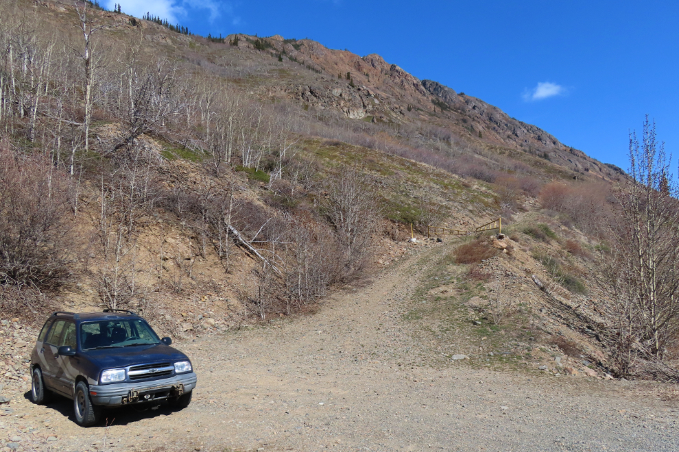
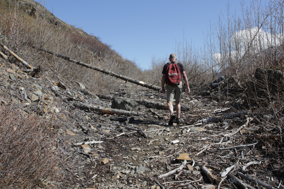
At 11:35, I was ready to start climbing. The temperature was about 10°C/50°F but there was a fairly strong south wind that was quite chilly. The elevation here is 702 meters.
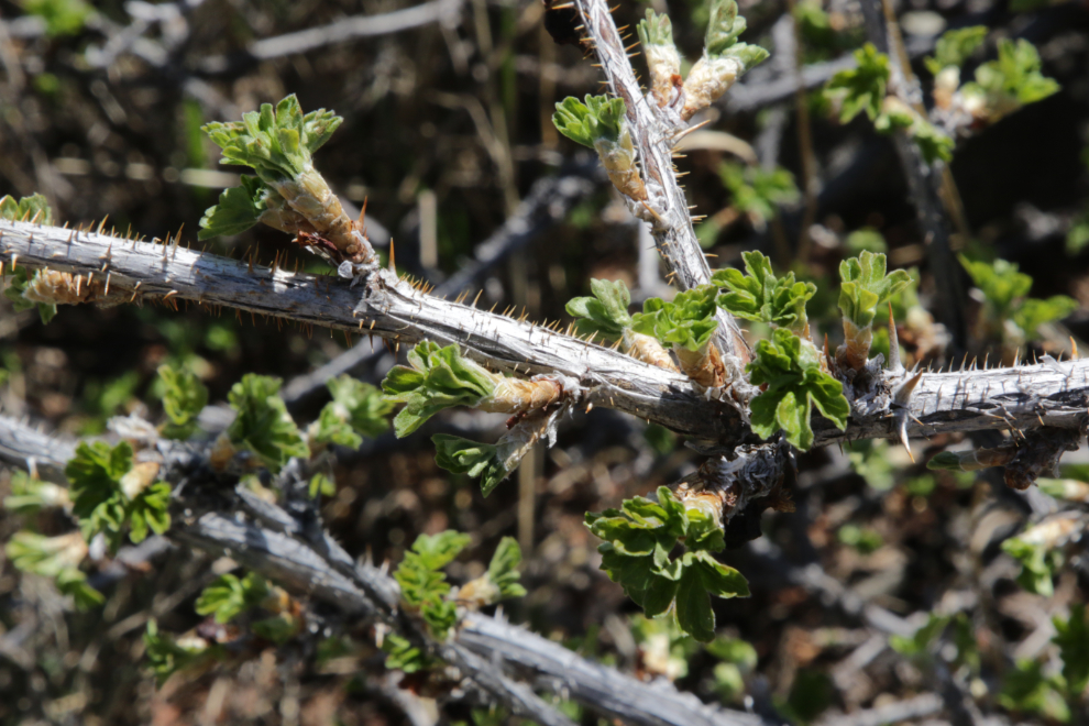
The southern exposure of this slope means that Spring arrives earlier here than in many places, and my first photo shot along the trail was what I believe to be a gooseberry, looking very healthy.
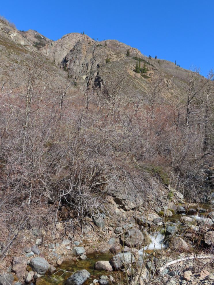
This debris is a from an fairly large avalanche that came down during the winter of 2021-2022. Yes, I hike here often enough to have that recorded 🙂
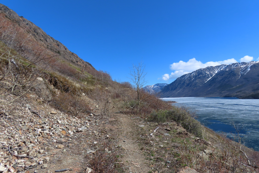
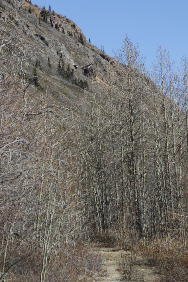
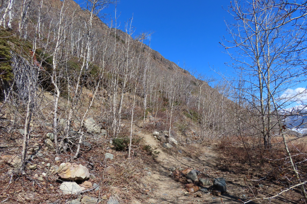
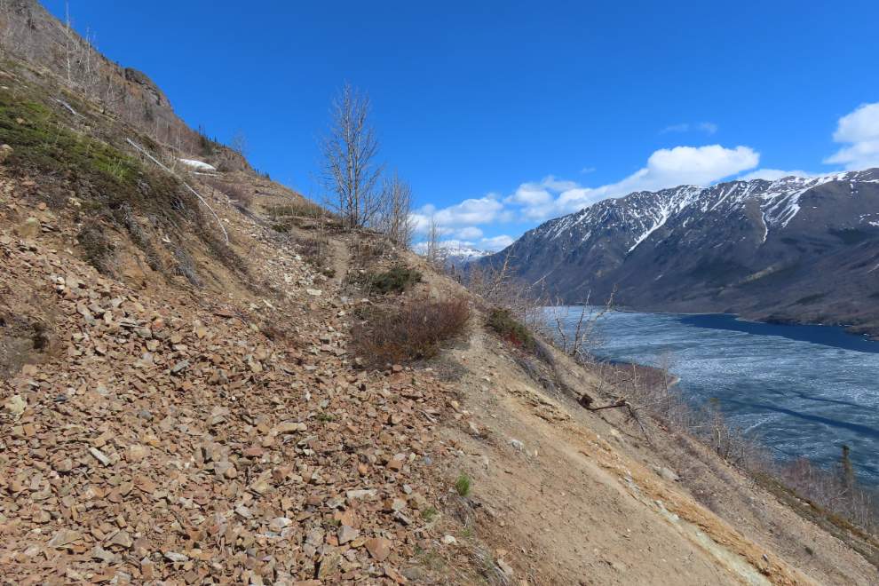
The trail has wonderful variety – a level bench 20 minutes from the car offers this view.
Bears are uncommon on this trail, but I have encountered one so brought my bear spray. Some scat on the trail soon made me glad about that.
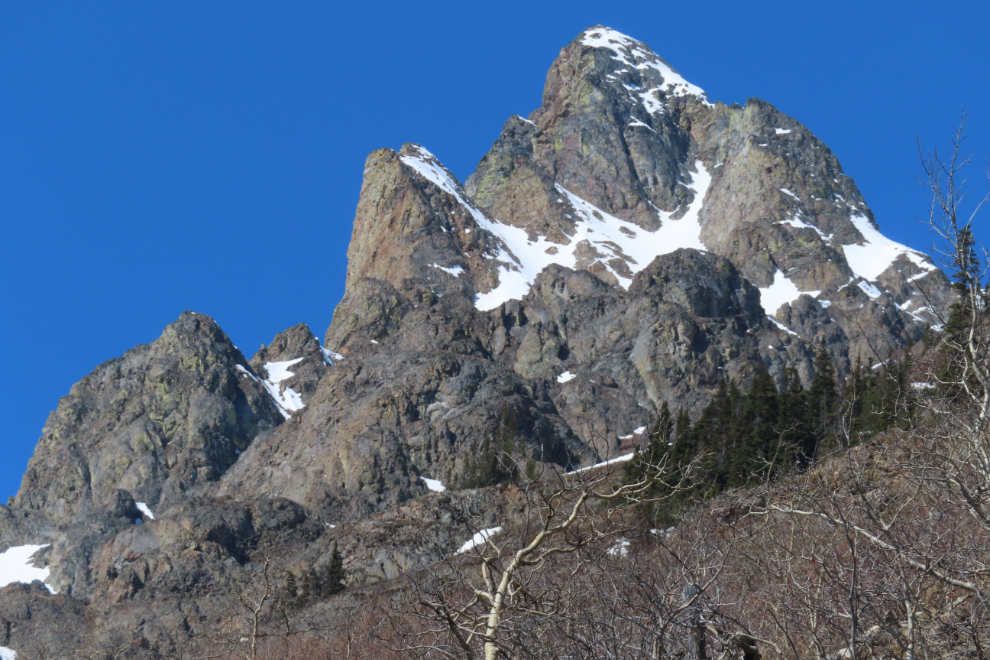
And if you can take your eyes away from the other views ten minutes later, this is what’s above you.
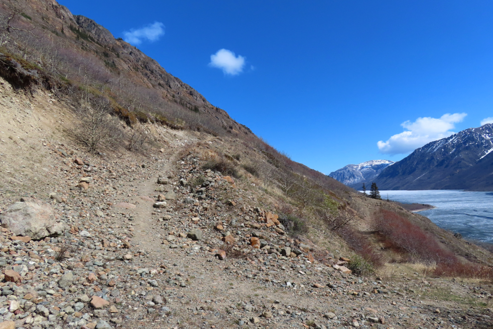
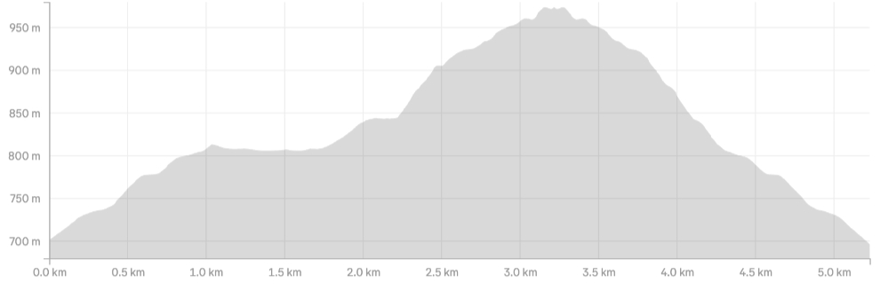
The old road does a couple of abrupt switchbacks as it climbs.
A tantalizing view of the mine, just over half an hour after leaving the car. Views of the mine are not common along the trail, but I find them to be very encouraging.
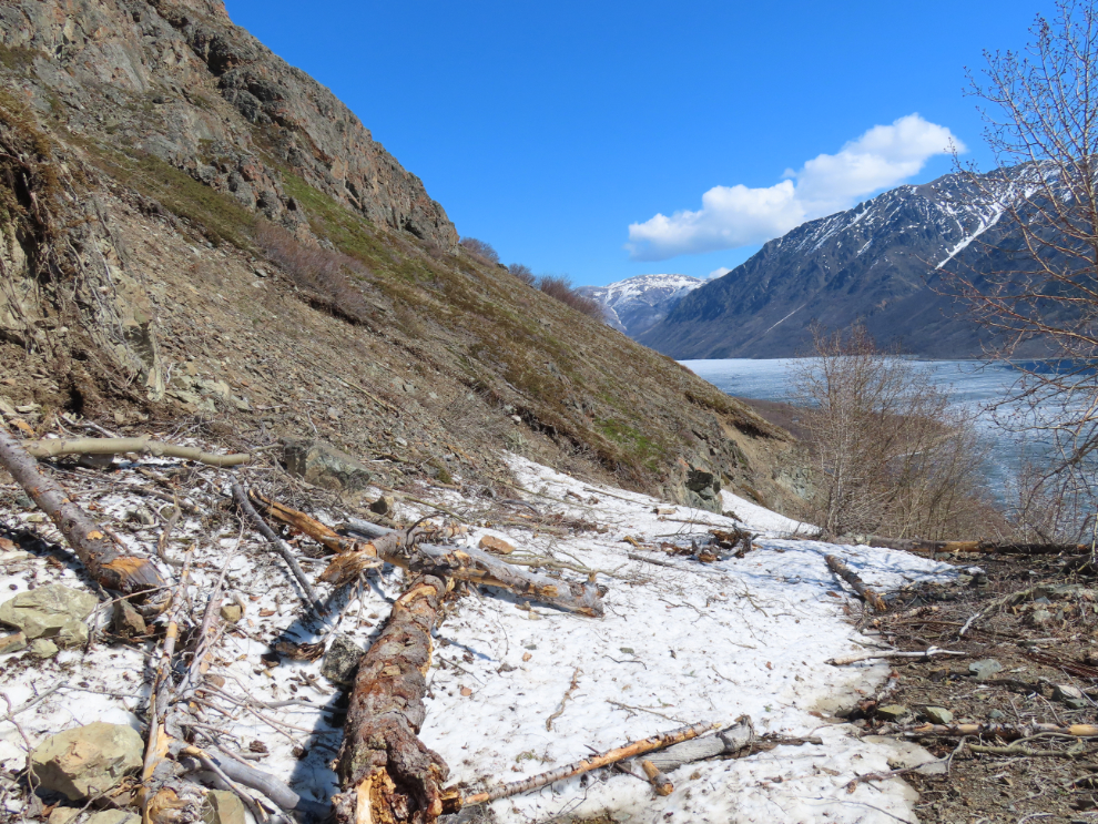
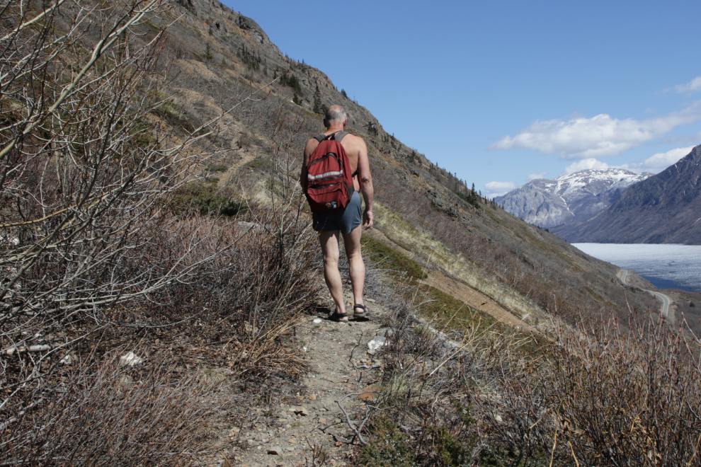
Three minutes later, I came to the first remnant snowslide – several were across the trail but all were easy to walk around.
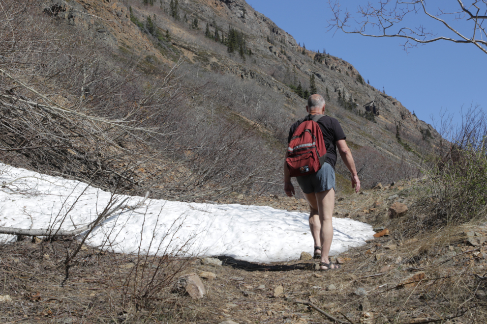
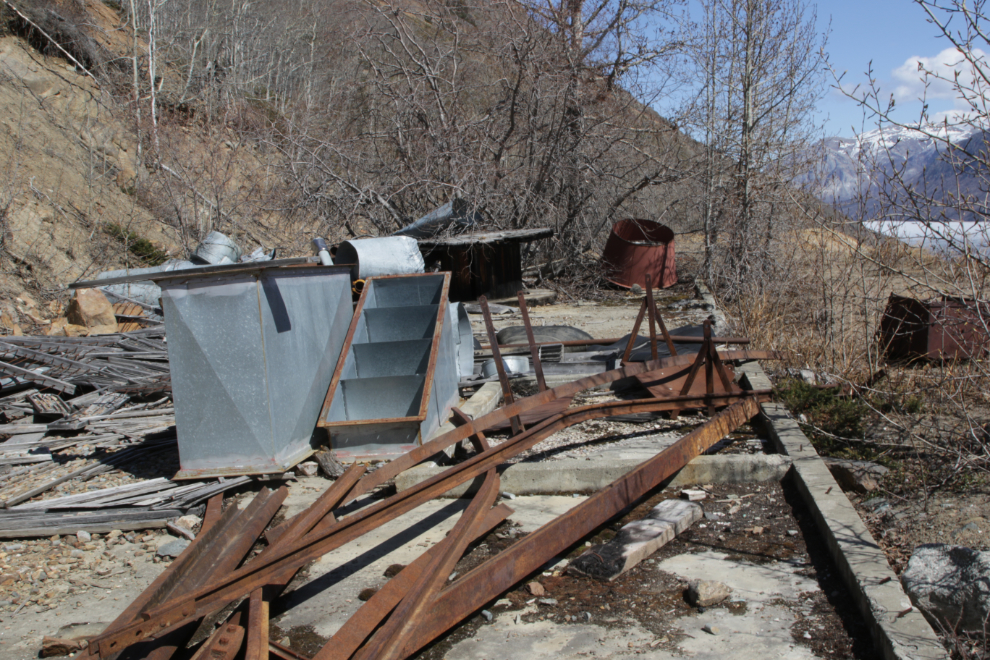
At 12:13 I came to a possible detour, to the lower level of the 1970s revival of the mine. It looked pretty rough but was worth a look. The elevation here is 813 meters.
I almost got stopped by this large slide, but found a way around it on the right.
The main site I wanted to check on was the compressor house, and I was pleased to see it still in good condition. A large avalanche this year did just miss it, though. Stairs up to it were removed during a reclamation project perhaps 20 years ago, but a well-worn trail leads up the slope to it now.
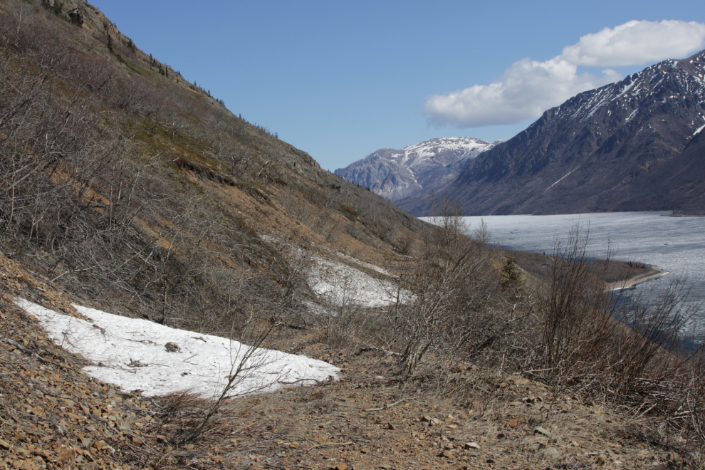
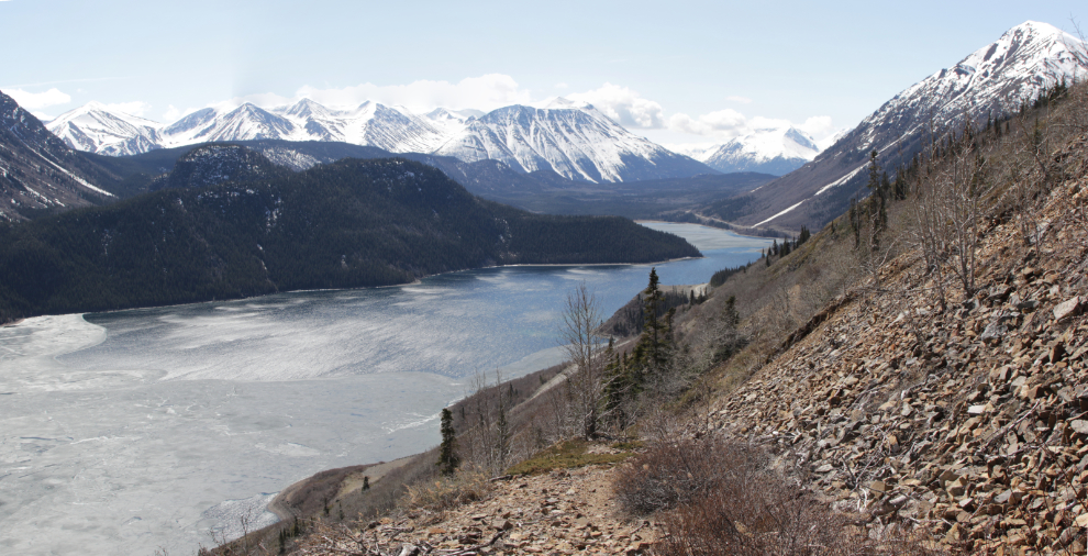
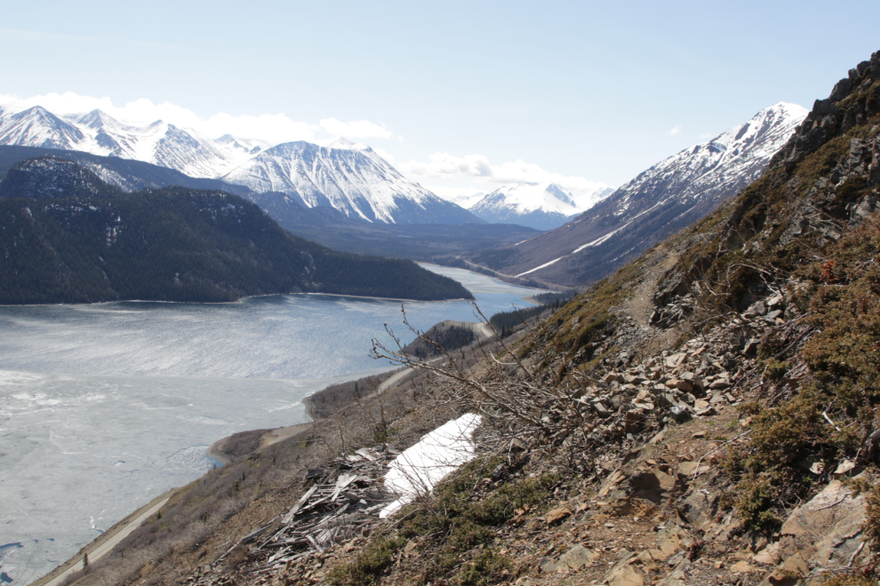
This is the view looking up Windy Arm of Tagish Lake from that level.
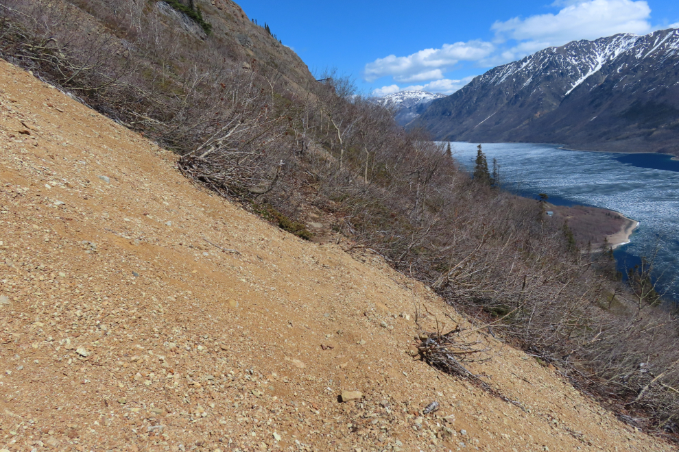
Further exploration from that level was halted by the worst avalanche damage I’ve ever seen here. Some of the trees brought down are probably over 100 years old. Given the amount of snow we got over this past winter, that wasn’t a big surprise.
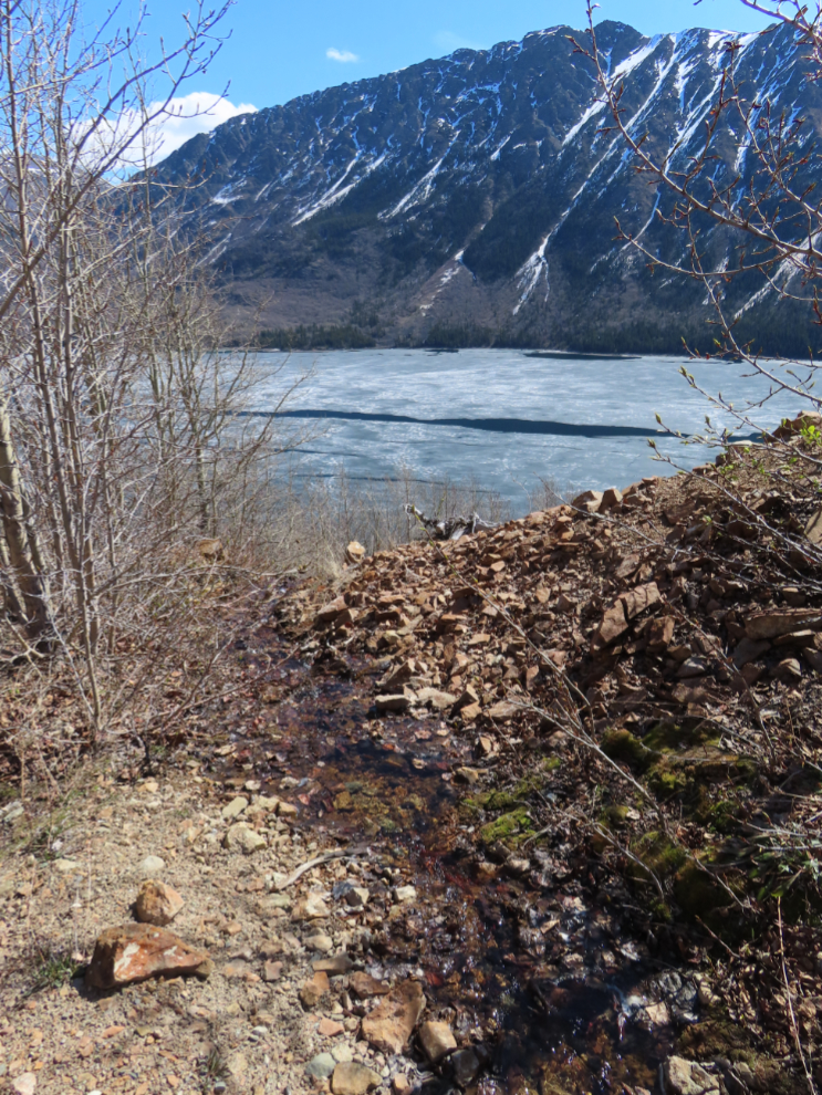
Retracing my steps back to the trail and continuing up, I reached the upper level of the 1970s workings, at 843 meters elevation, at 12:40. A small mineral-rich flow of water from one of the adits has always fascinated me because of the amazing variety and amount of life it supports. A male spruce grouse was there when I arrived but he stayed in bushes that didn’t allow a photo.
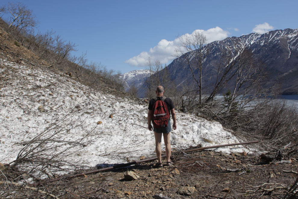
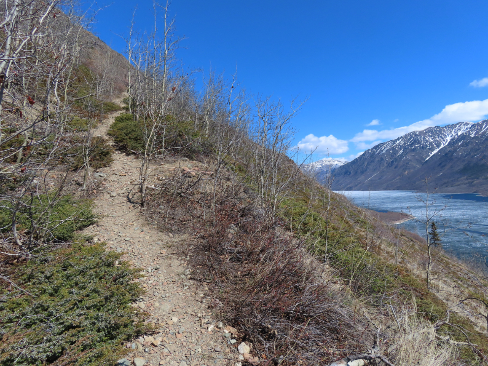
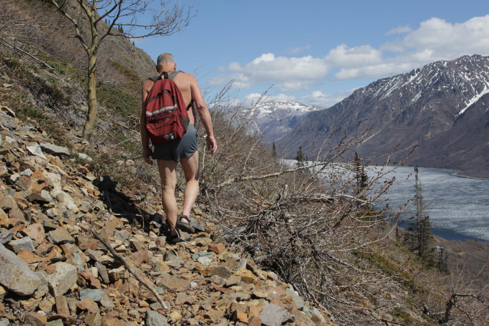
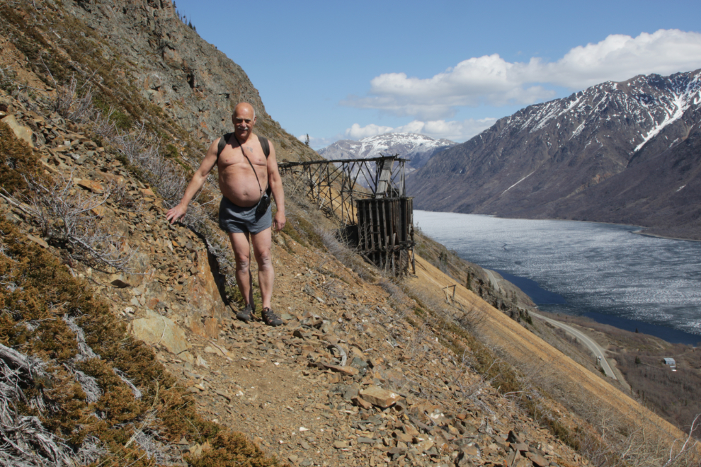
This level seemed like a good spot for a portrait so I put on my best gear for it 🙂
The reclamation contractor seems to have gotten bored here, and left a lot of stuff on this level, from railway rails to heavy hose connectors and ore sample boxes.
The road ends here and the trail could be hard to locate, so in recent years hikers have made the route obvious.
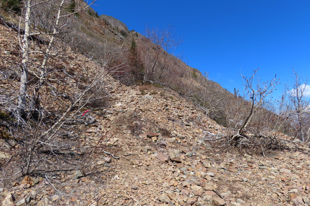
Free from the constraints put on routes by motor vehicles, the trail gains altitude rapidly now, as the elevation graph on my Strava page shows (the upper working level is at 2.0 km).
The next photo was shot at 1:09, two minutes after starting up the trail.
At 1:15 there as a place that was level enough to set up the tripod for the next shot.
One minute later I came to a fork in the trail. The left trail was flagged – I don’t remember were it goes, but my gut said to take the right fork, and I did.
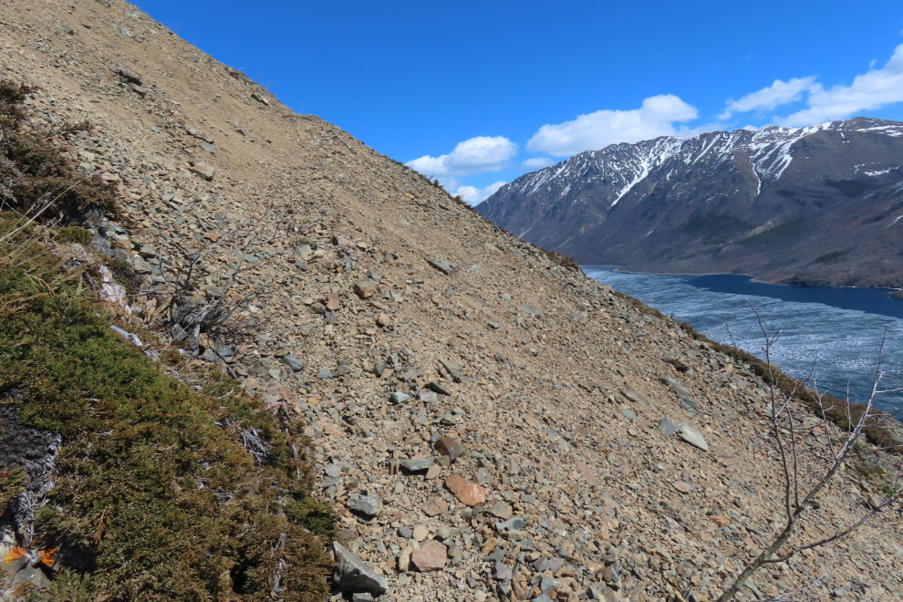
By 1:23 I had reached the start of a section that causes many people to turn back. The unstable footing with a very long drop off the edge is worth thinking about. Perhaps thinking about a lot.
Yes, the trail goes straight ahead.
This panorama looking back down the trail to the south was shot at 1:29.
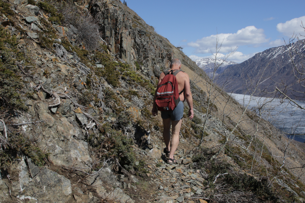
Continuing on at 1:33. A hiker without a camera can do this trail a great deal quicker than I can 🙂
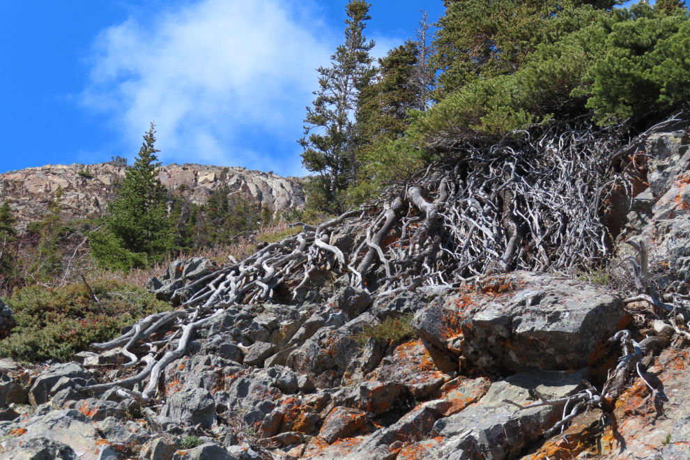
An interesting mosaic of rock and bare roots and vegetation.
This climb caused me to pause for a minute of assessment before continuing. Shortly before this I had gone across an extremely unstable slide but it only required one step on the really bad part, and I made that a light and rapid step. Assessing that crossing took more than a minute!
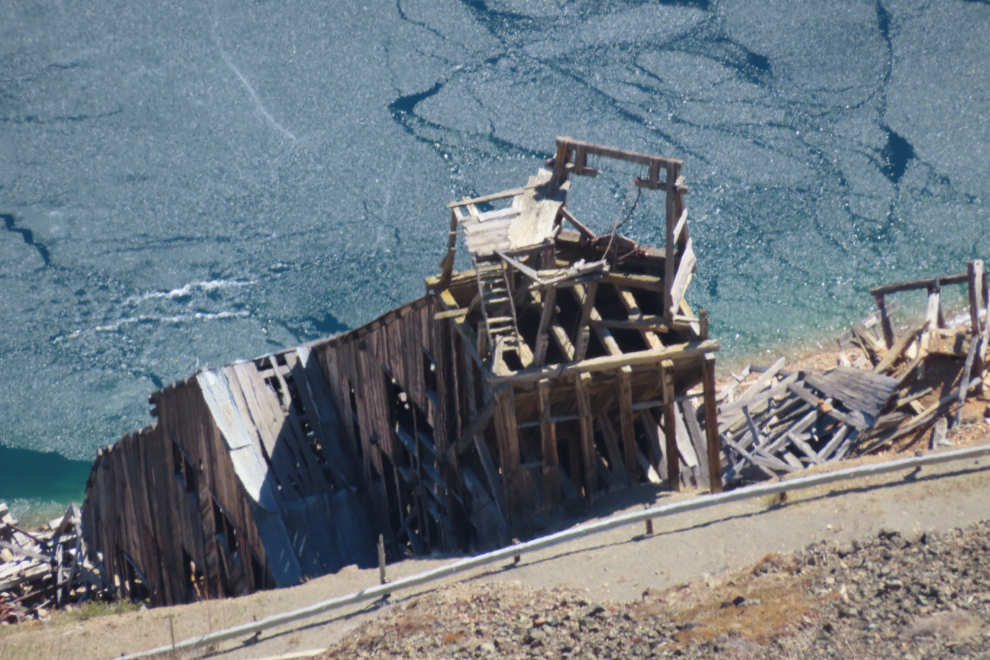
Before starting that section, I shot this photo looking straight down at the Venus mill, which I have written about a lot here on the blog.
By 1:41 I had gained all the altitude needed, there was just a few hundred meters of ups-and-downs remaining, across some tough terrain.
At 1:49 I got the view I had worked for 🙂
Yes, pretty darned pleased with this day 🙂
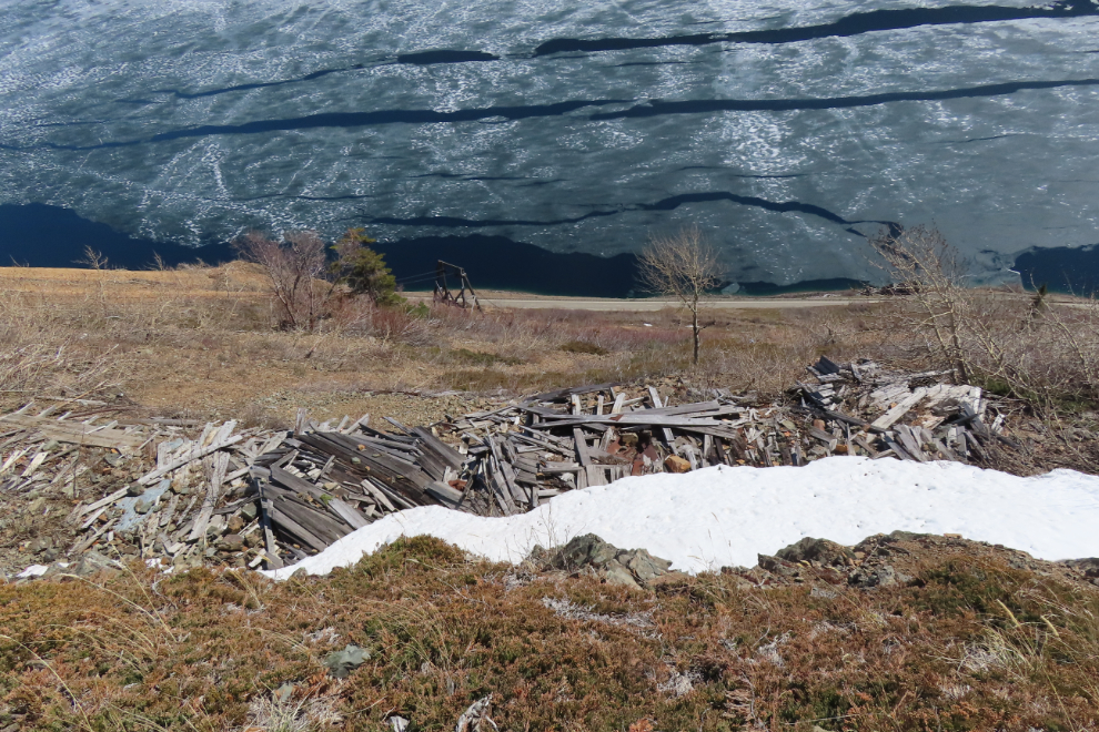
Before reaching the mine, the collapsed bunkhouse/cookhouse can be seen below.
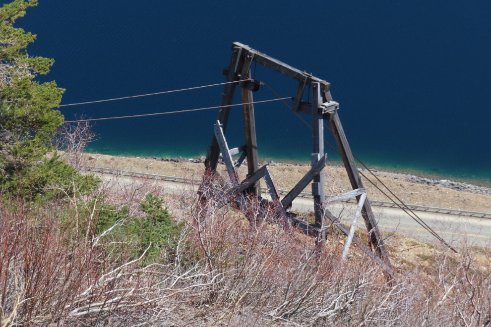
And below that, the only aerial tramway stand that hasn’t fallen.
I had hoped to get into the adit again, but the blacksmith shop has partially collapsed, and what remains looks extremely unstable. Assessing that risk was beyond my current abilities.
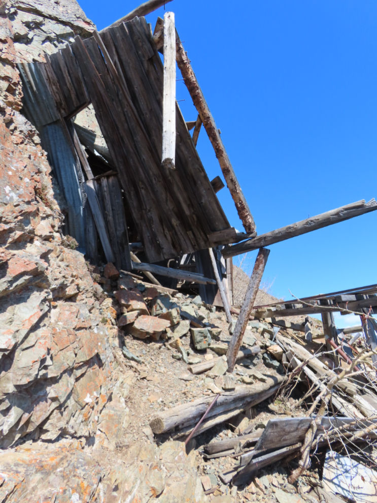
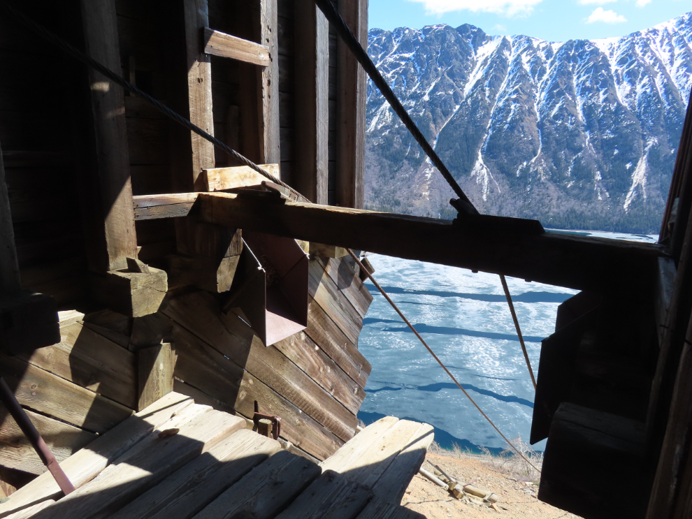
I did go down to the upper tramway terminus, though. It, too, has partially collapsed and is just plain dangerous. This is the view from it.
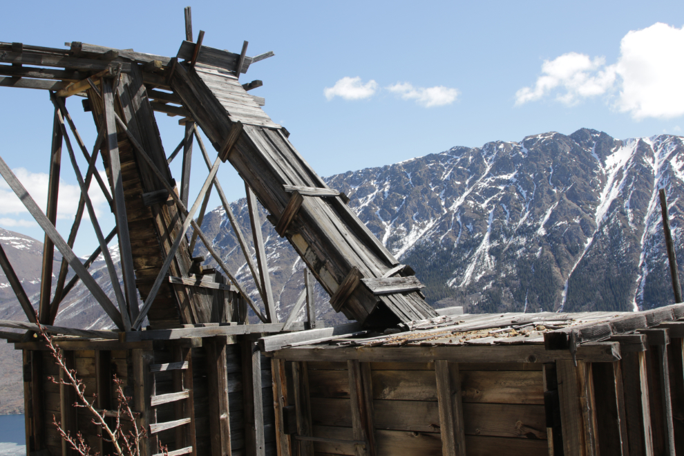
The structures that were built on this mountain 120 years ago have always impressed me. No power tools, just brawn and guts. This is the ore chutes going into two storage bins from where the aerial tramway carts would be loaded.
I only stayed up top for about 15 minutes, then started down.
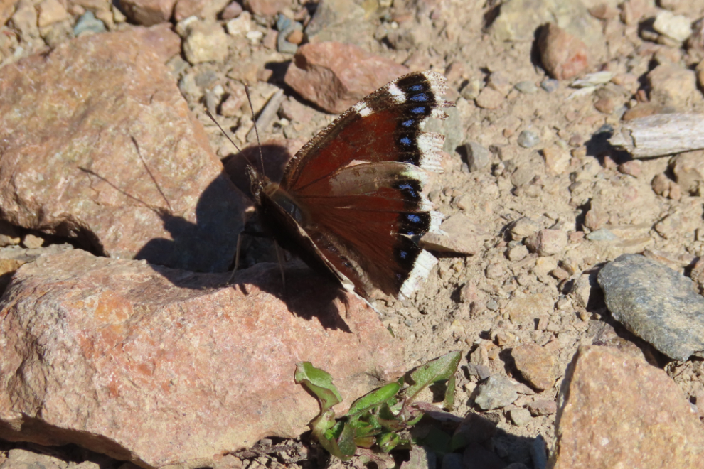
I only shot one more photo on the way down, of this Mourning Cloak butterfly (Nymphalis antiopa) that was particularly cooperative 🙂
This was an especially fine hike in every way, and I hope to do it a few more times in coming years.
The Venus Mine has been very important to you. Whenever I make it to the Yukon again, that’s a hike I’d like to do with you. I am glad the weather provided warmth. Congratulations on making it to the mine. Happy Birthday.
Wow, wow, wow Murray!! What a glorious day and hike for you!! Happy birthday too!
As always, thanks for sharing ❤️
Hi Murray – great trail description – I was going to ask if you followed the packhorse switch backs up to the site? I had seen earlier trail description that mentioned going straight up the slope (scree?) from the lower building after you hike up form the highway; however, that didn’t seem like a normal trail route. We did hike some of the switchbacks a few years back; however, we weren’t sure which point to head across the slope to the mine. Is there a good place to get a good route map? Thanks
Thanks, Michael. I don’t know of any place to get more detail on the route than what I posted here (in combination with the Strava map I link to). A few years ago a guy claiming to own the mine wrote to me, Yukon Hiking, and probably others, demanding that we stop talking about the mine. Yukon Hiking removed their Venus Mine page, I told him to stuff it (he replied that he was deeply offended by my response). I expect that much of the route now was originally a packhorse trail. To get to the original 1901 Venus cabin the route is just straight up the slope, but that’s a crazy path to the mine we usually go to.