The first Prairie crocuses are up, so it’s Spring
For many of us in Whitehorse, seeing the first Prairie crocuses is a big deal. I’ve hiked at two possible places for them recently – Hospital Ridge and the Lewes River Dam – with no luck, so yesterday went to the spot that usually results in seeing the early flowers. Once again, the place I call Crocus Bluff was a winner.
The Miles Canyon Road gets closed for the winter, and just re-opened for the season yesterday. Crocus Bluff is right in the centre of this map of yesterday’s hike, from my Strava page. As well as crocus, I was looking for a hike of about 4 km, so parked at the Miles Canyon viewpoint.
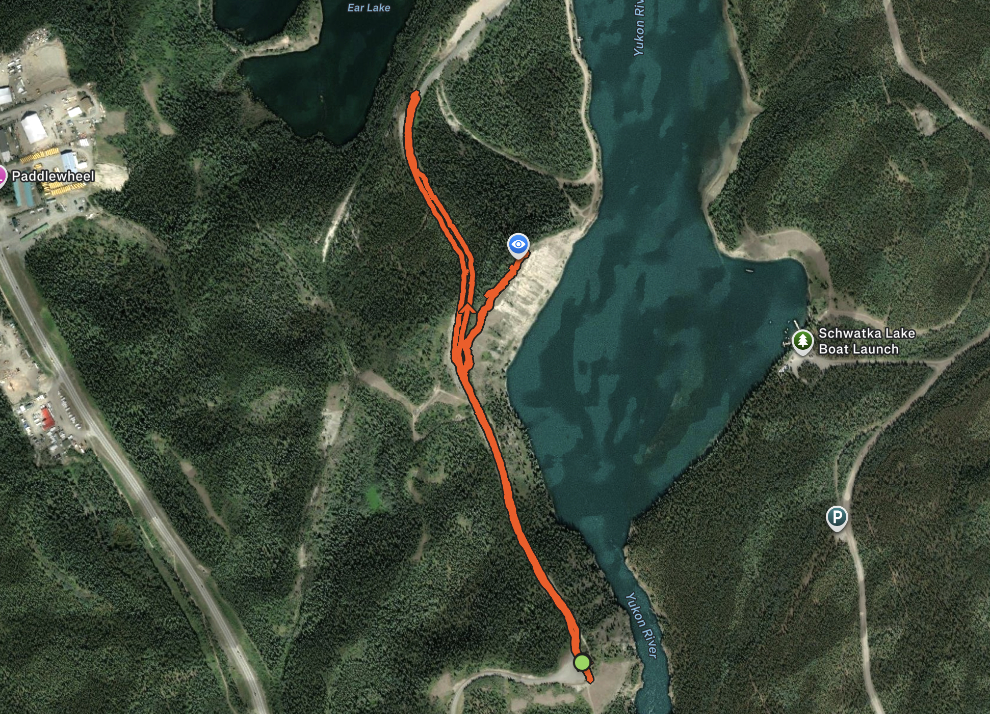
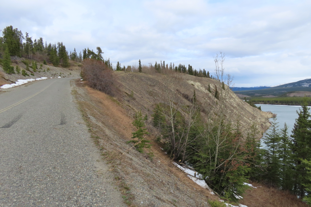
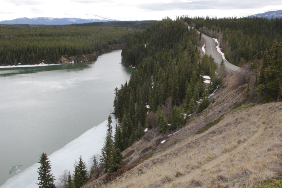
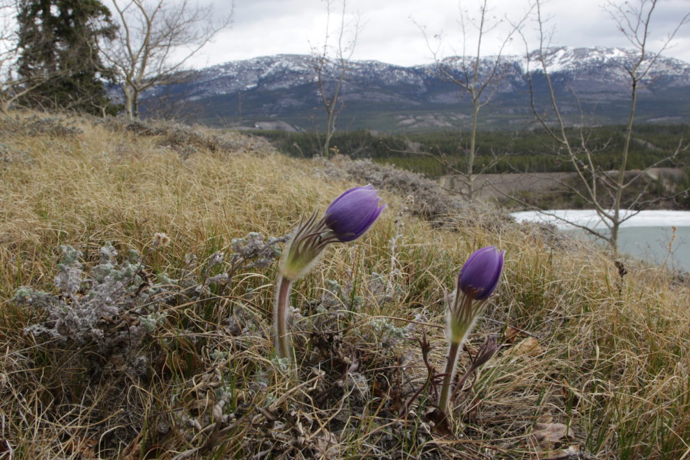
The crocus area is along the top of the bluff ahead, overlooking Schwatka Lake.
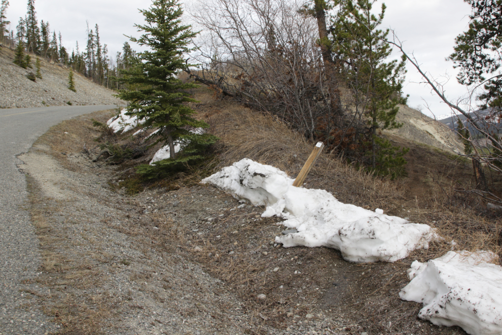
This is the start of the trail that leads to the flowers. The tag on the post that got knocked over by a snowplow says “Yukon River Loop Route.”
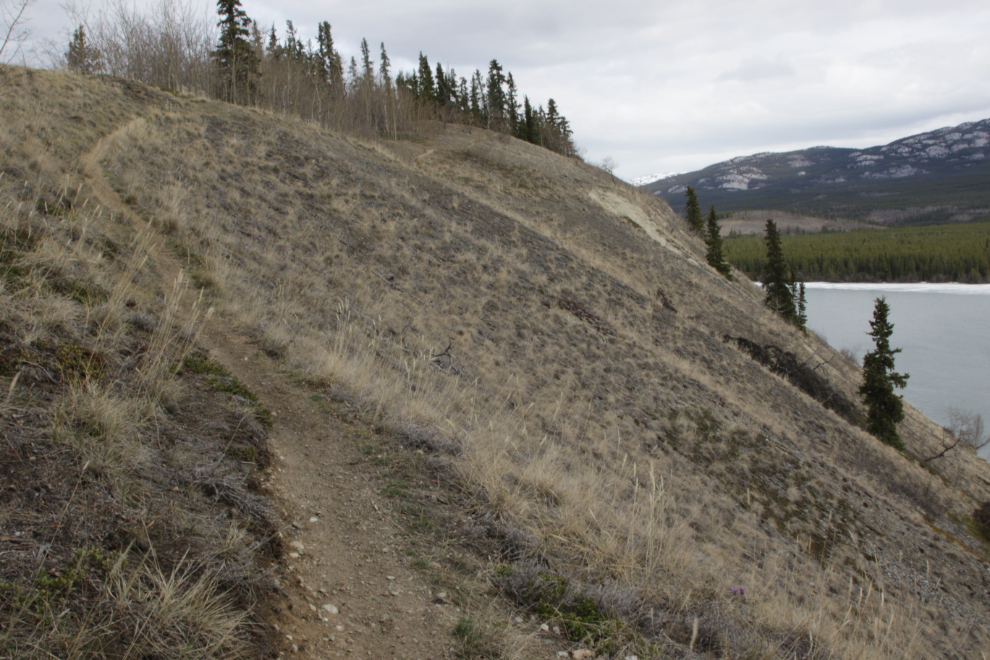
The trail starts by climbing to the top of the bluff, but the first of the crocus weren’t far away, above the trail.
Ah, that’s what I needed to see! That was a long winter, and these flowers make me feel so good.
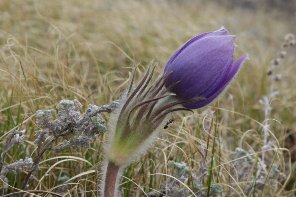
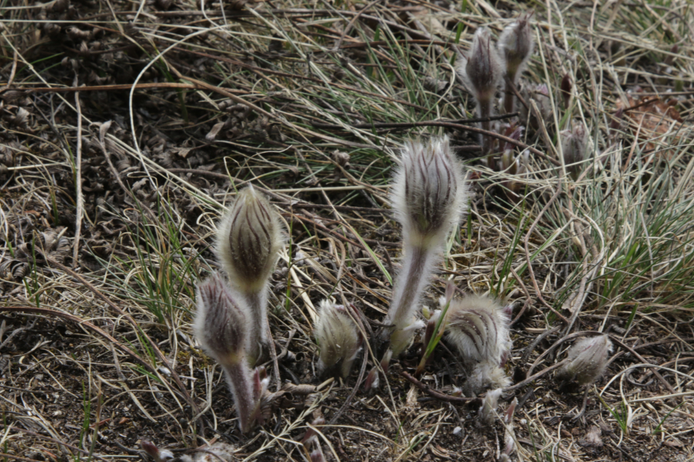
The Yukon government’s pamphlet “Common Yukon roadside flowers” describes Prairie Crocus / Pasqueflower (Pulsatilla patens): “Arguably the most popular Yukon flower, for many Yukoners the emergence of the Prairie Crocus in late April or early May signals spring’s arrival. The entire surface of the plant, including the flowers, is covered in fuzzy white hairs. These are crucial to the plant’s survival in the chilly months of spring. Insects will often take refuge inside the flowers, where it can be 10°C warmer than the surrounding air.”
There was a chilly wind when I started out but it didn’t last long.
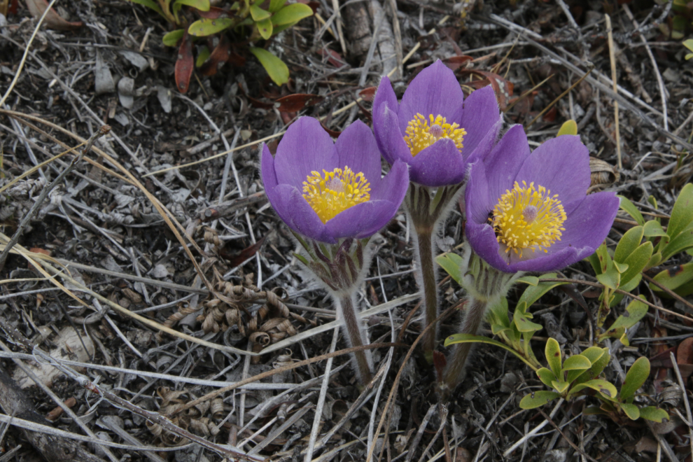
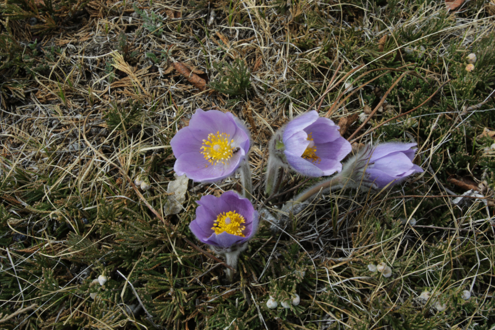
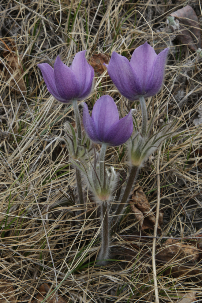
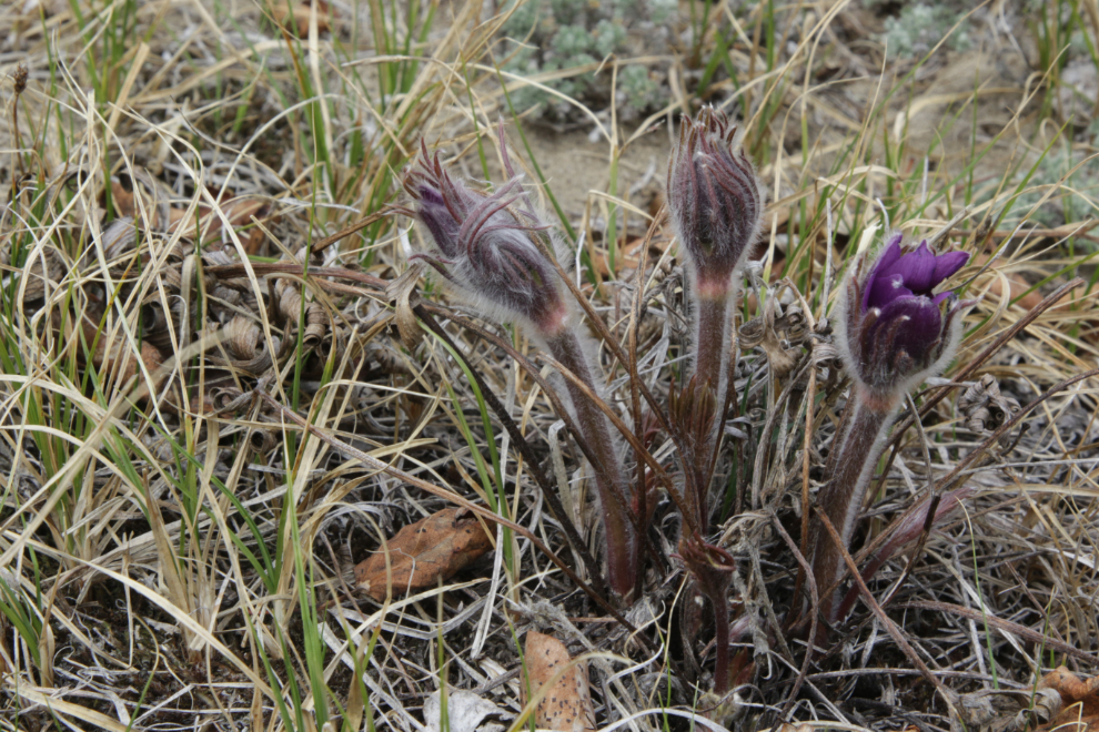
Each blossom, or bud, or grouping, is different, so it’s easy for a photographer to spend a long time here 🙂
Here’s the view up the Yukon River to Miles Canyon from that spot.
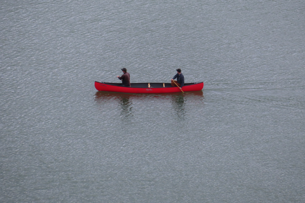
Despite some ice on the lake, a couple of fellows were out in a canoe. I just missed getting a photo of them passing close by a pan of ice.
The crocus are pretty fussy about where they want to grow. They’re in a narrow band at two spots along the top of the bluff. There is some variation in the depth of colour of the petals – always purple, but ranging from very deep to rather washed-out.
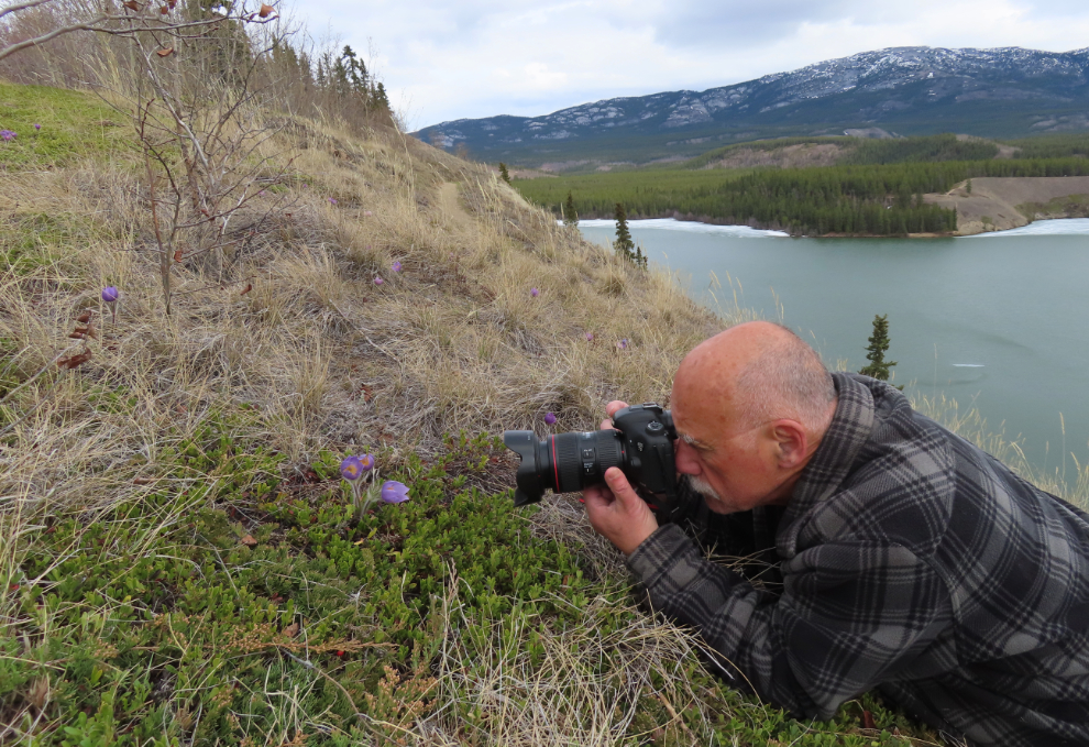
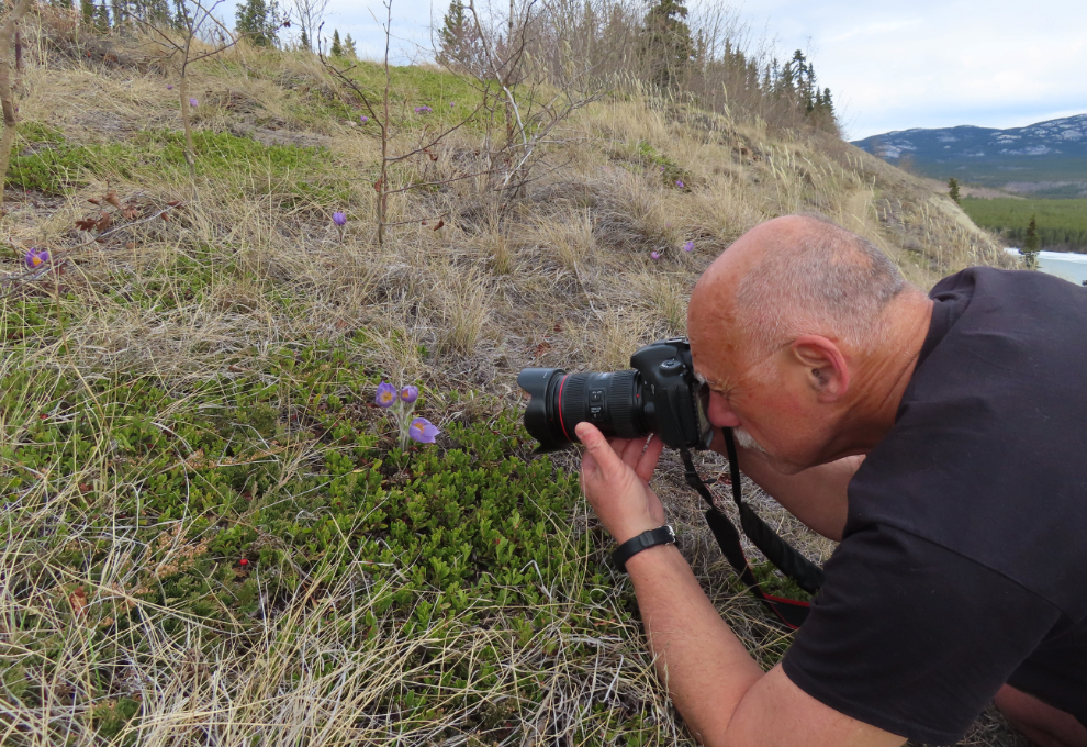
For many people, hiking and photography are social activities, but I’m almost always alone. A tripod and a second camera allow me to get images like this.
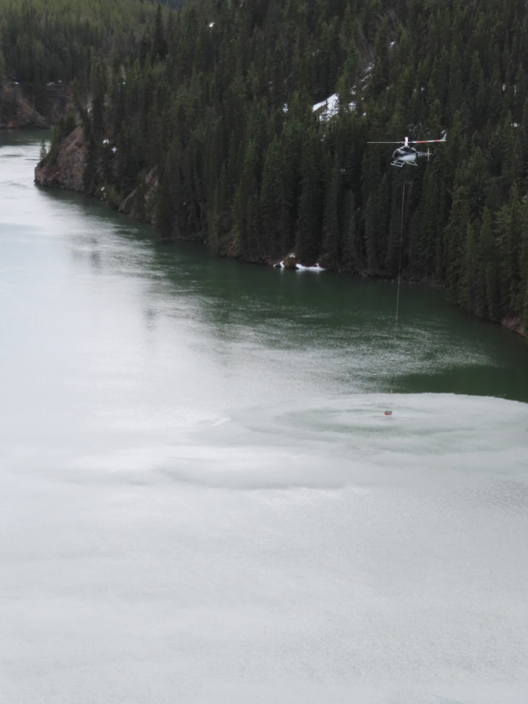
As I started walking up towards the other end of the bluff, a helicopter began wildfire practice, dipping a bucket into the lake. He then flew about a mile and dropped the water in the forest on the other side of the lake, then returned. About a week ago, someone in our neighourhood group on Facebook complained about the noise being made by helicopters recently. Several people quickly responded with comments about the importance of these training flights and the discussion ended.
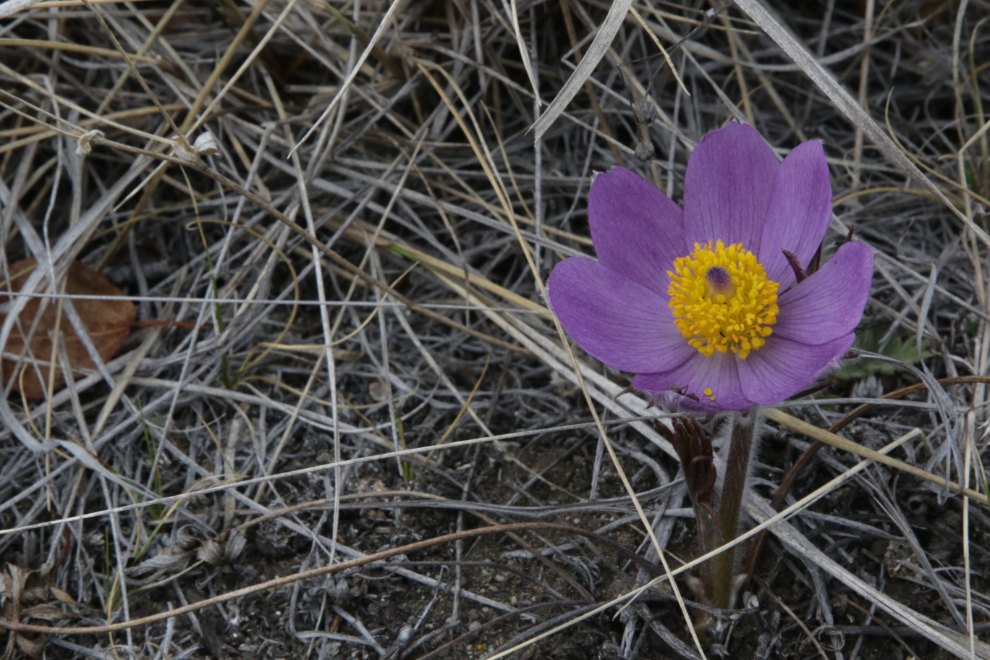
The far end of the bluff was as colourful as I had expected 🙂
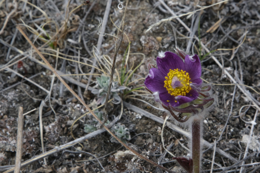
The next photo shows off Pulsatilla patens‘ delicate fur coat nicely. Getting photobombed by an ant was a nice bonus.
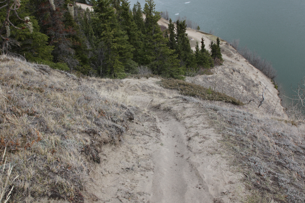
From the end of the open bluff, a very steep trail drops down to the lake. I have gone down it before, but decided not to on this hike.
I thought I was going to be able to continue on the Loop trail back to the road, but there was too much snow once it went into the forest, so I headed back the way I came.
Perhaps it was just a coincidence that the helicopter started doing his fire-bucket work very close right in front of me. But I choose to not think so – thanks to the pilot for providing me with great photo ops 🙂
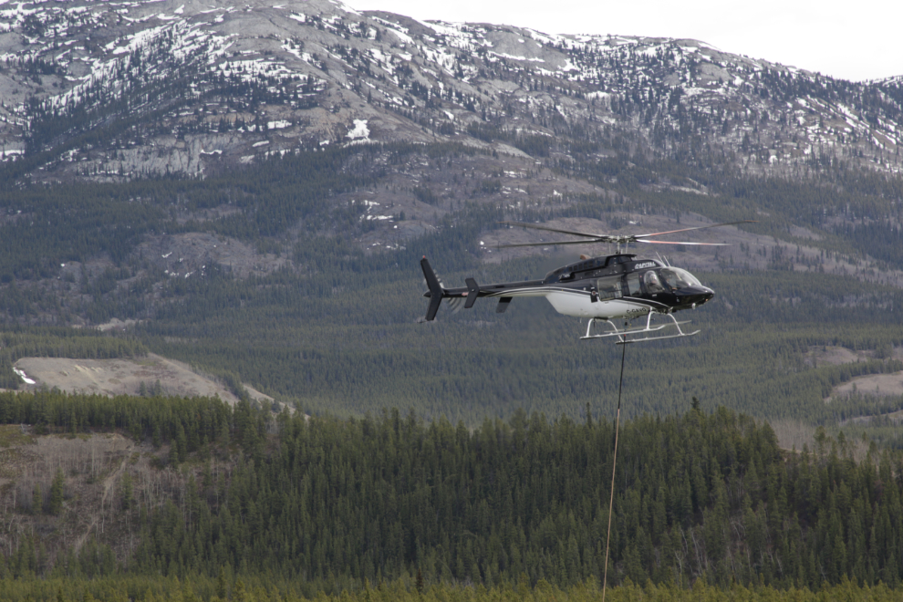
C-GAVQ is a Bell 407, built in Canada in 2000 and now operated by Capital Helicopters. From a distance I had thought it was a LongRanger (a Bell 206L-4), but the 407 is a variation that uses a four-blade rotor.

There were a few helicopter diversions, but it felt so good to spend some quiet time laying and walking among the flowers for half an hour or so 🙂
There were lots of crocus buds just getting started, so this will be a great spot for a couple of weeks yet.
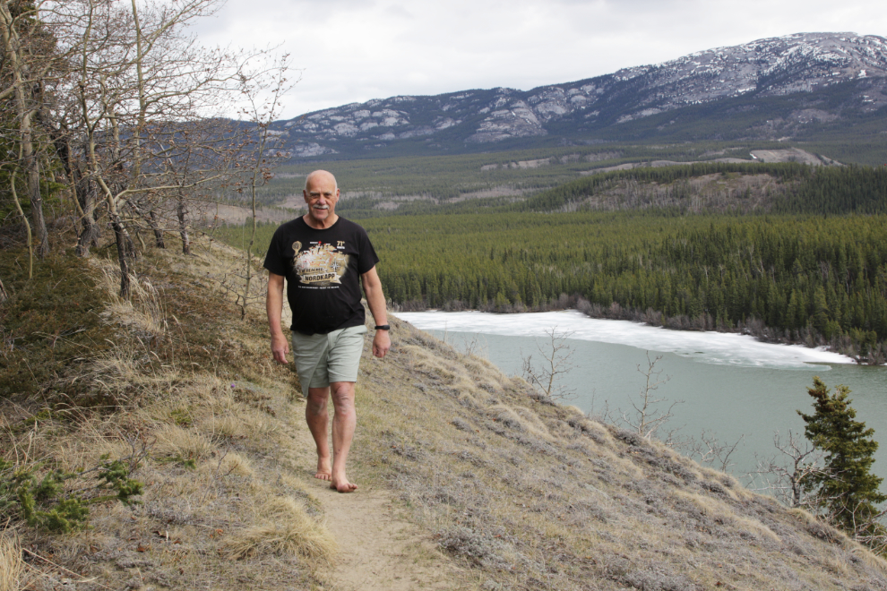
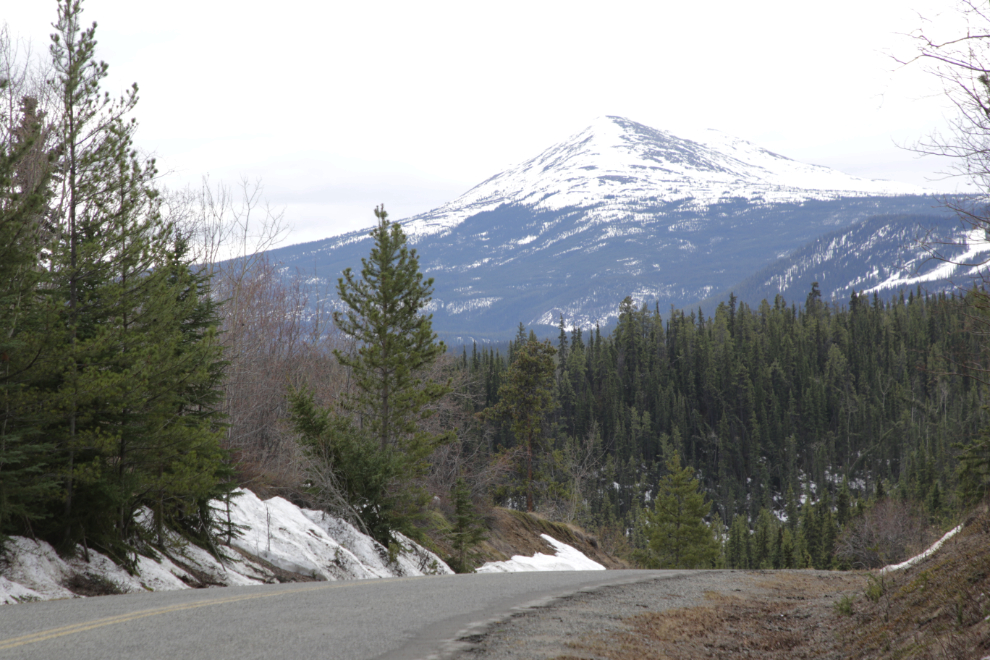
Back at the road, I started walking up the hill instead of back towards the car, as I still wanted to get 4 km in. I had no destination in mind, though. I got as far as where the Loop trail goes off towards Ear Lake, but I soon got stopped by snow on it, so headed back to the car. This view of Golden Horn on the way was worth a shot.
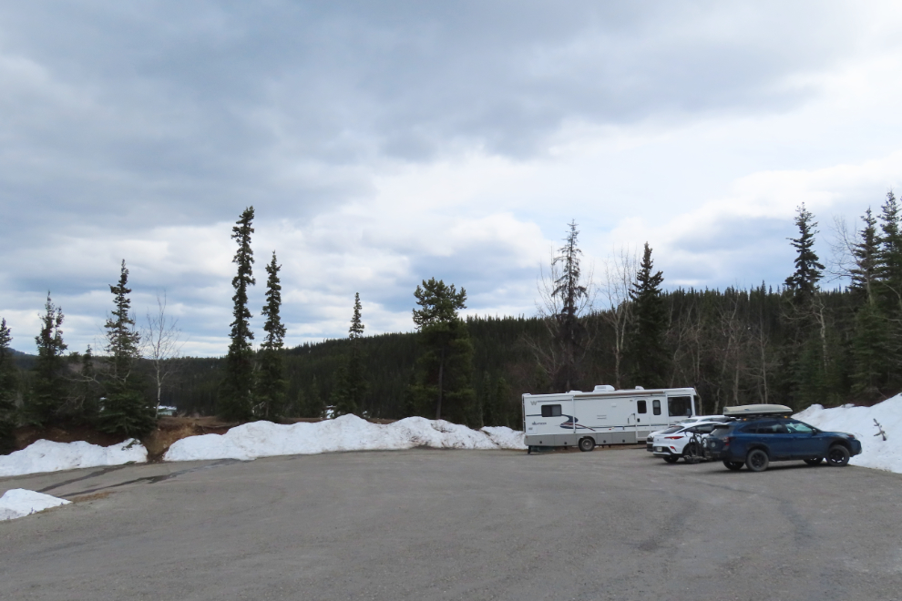
On the drive home, I took a detour towards Miles Canyon, as there’s an open ridge there that could provide cocus with great backgrounds, but access was blocked by snow. For people to be parked up there, the main Miles Canyon parking lot further down the hill must have been full – busy place for mid-week in early May!
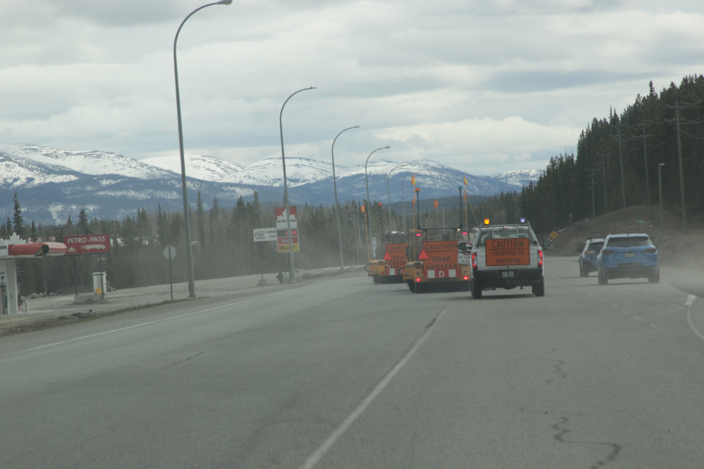
The final photo for this post was another sign of Spring seen on the Alaska Highway halfway home – street sweepers. They’re particularly important to me as having them get the loose gravel off the roads makes getting the motorcycle out safer.
The weather forecast isn’t particularly good (mainly cloudy with a high of 12 today, the same but 3 degrees cooler tomorrow), but I hope to be out doing something pretty much every day.
Street sweepers have been actively doing their duty in Anchorage, too. Now the buds are beginning to open up.