A drive up to the White Pass
I had been watching the weather forecasts and road reports for many weeks, looking for a good day to get into the mountains, and it finally came together yesterday (Saturday, January 24). The weather forecasts called from sun in both Whitehorse and Skagway, with highs of -17°C and -1°C respectively. With luck, some of that warm air would leak over the pass, and there would be no wind. I packed for a very good day, including snowshoes and shorts 🙂
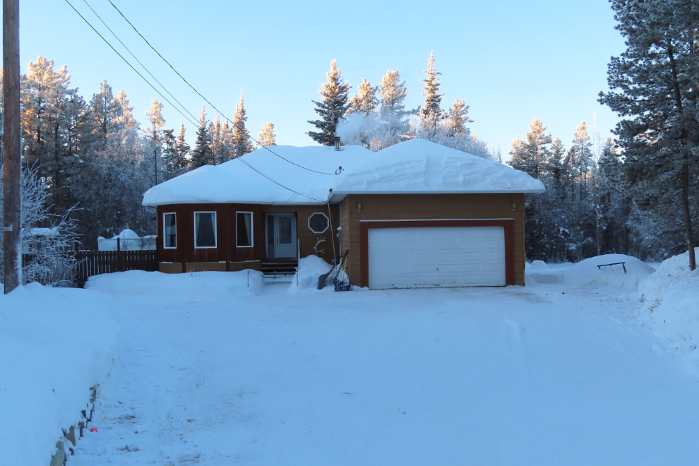
I had planned to be south of Carcross at sunrise (10:37), to catch what could be a spectacular dawn, but as the time to leave approached, I didn’t feel well so had to go for a nap. I finally pulled away at 11:20. The temperature was -30°C/-22°F, and I had lit the wood stove a few hours before.
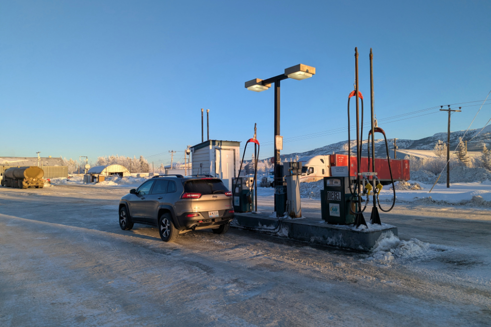
The Jeep only had half a tank of gas, so before leaving town I had to backtrack 6 km to McRae to fuel up at the North 60 cardlock. There’s a gas station on the way, at Carcross, but it’s much more expensive (24 cents a liter higher).
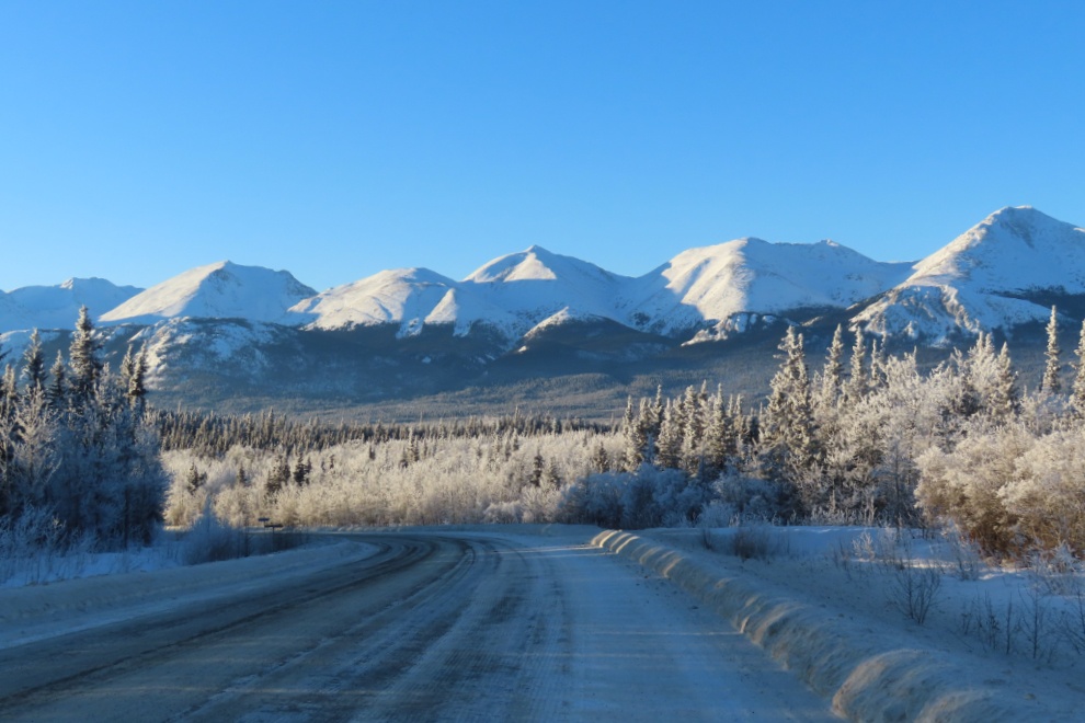
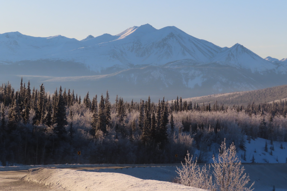
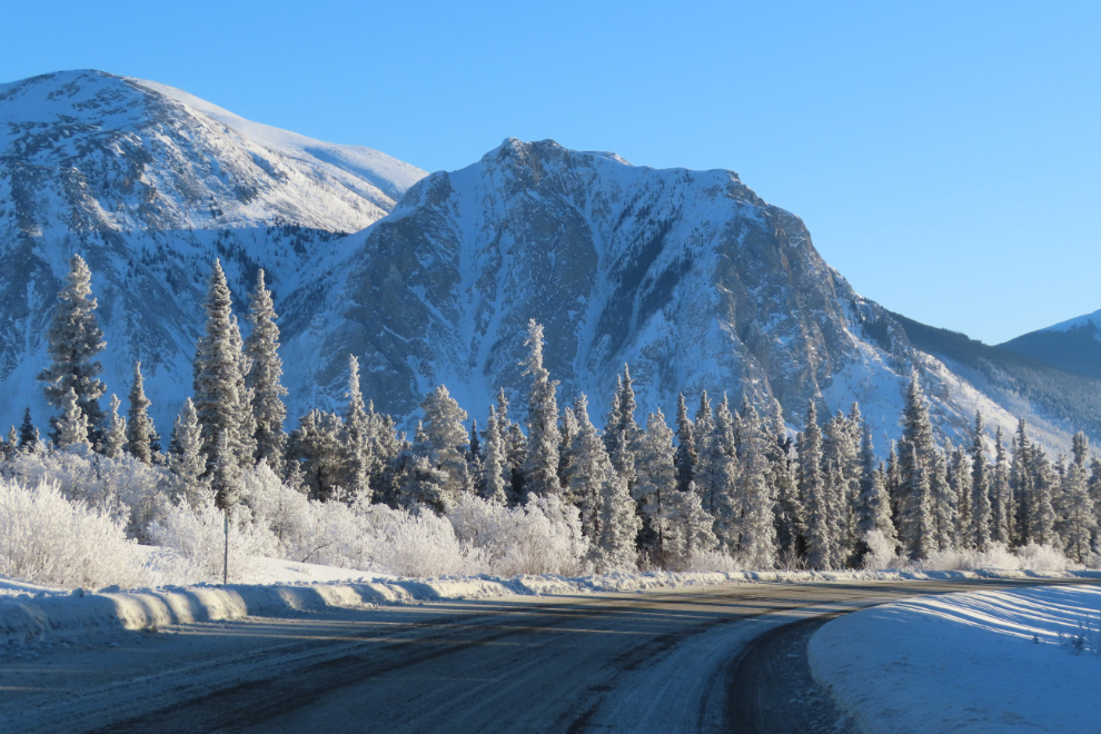
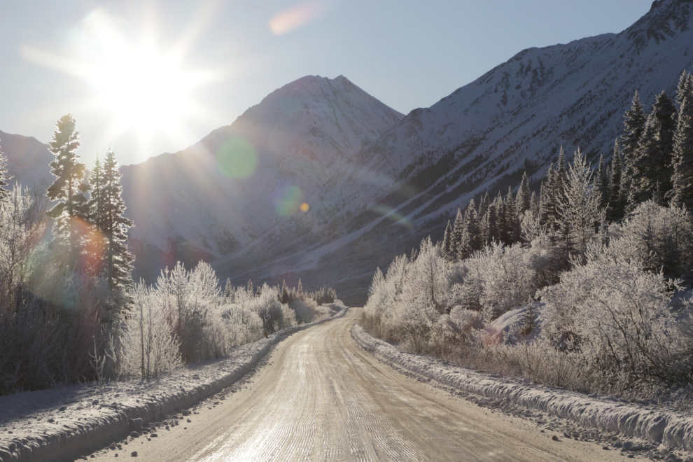
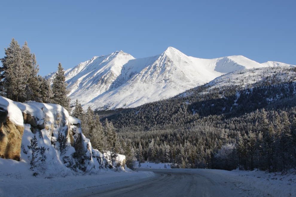
Right at noon, I made my first photo stop on the South Klondike Highway, at a mountain view that often stops me. I took the same shot with my phone, and posted it on Facebook and Bluesky.
I thought about stopping at the Robinson Roadhouse but the parking lot hadn’t been plowed all winter, so that didn’t happen. The view at Emerald Lake was great, though.
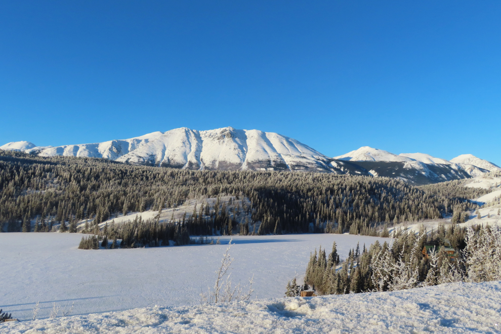
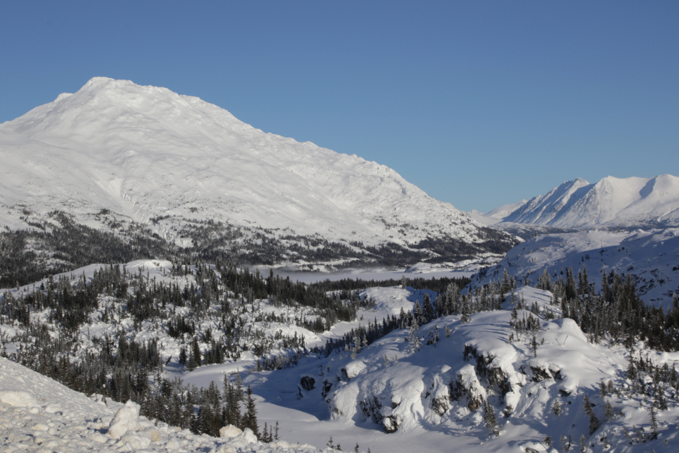
Looking south from the Emerald Lake pullout, the Montana Mountain massif dominates the view.
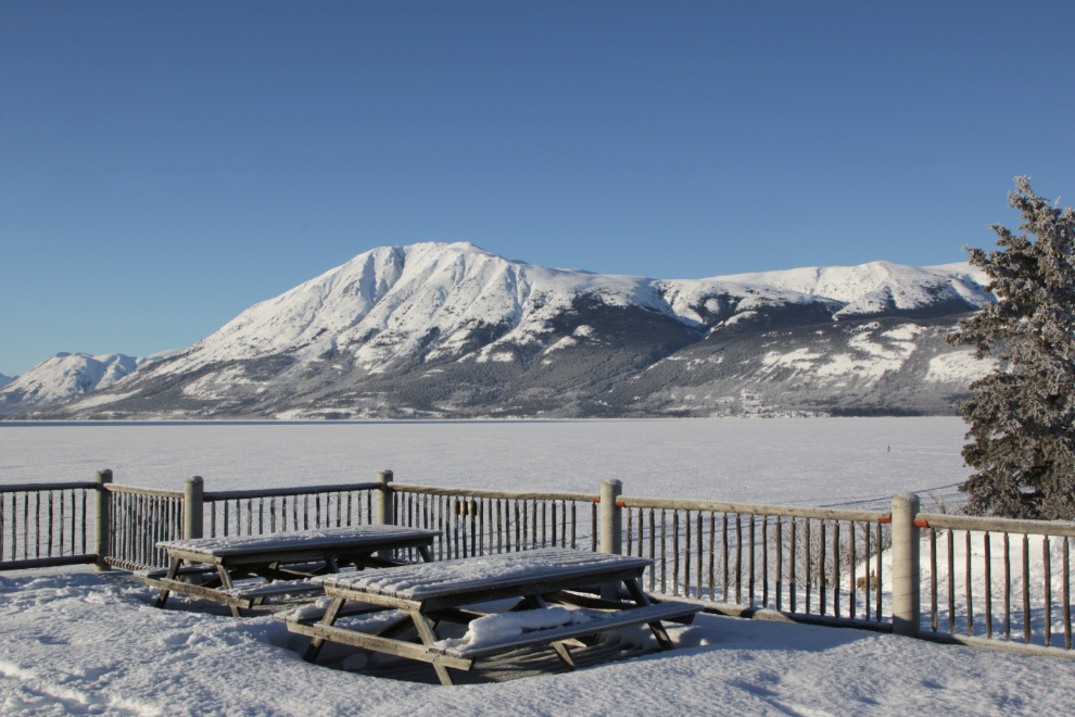
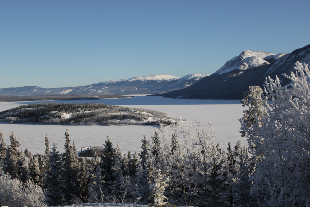
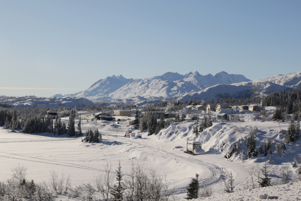
I made a loop around Carcross, but the only stop I made was at the Lake Bennett viewpoint. While there, I checked my phone and there was a message from a friend I hadn’t seen since 2019, asking me to call. I did, and it turned into a particularly pleasant 51-minute chat, much of it about mushing, and specifically about the possibility of resurrecting the Yukon Quest sled dog race. That viewpoint was the perfect place for a conversation like that, with a couple of people and their dogs way out on the lake, and me wearing my Yukon Quest 1,000-Mile Club jacket 🙂
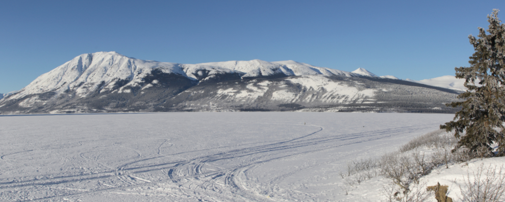
Here’s a two-photo panorama looking across the lake to Grey Mountain – Google Maps has it as Mt. Gray, but first of all, “Gray” is the American spelling. To see a much larger version of this photo, click here.
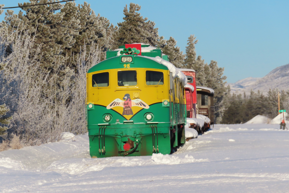
Leaving Carcross, I drove past then stopped and backed up to grab this shot of the White Pass & Yukon Route work train patiently waiting for Spring. In about 10 weeks from now, the Cats and plows will be at work clearing the snow and debris from the line between Skagway and Carcross.
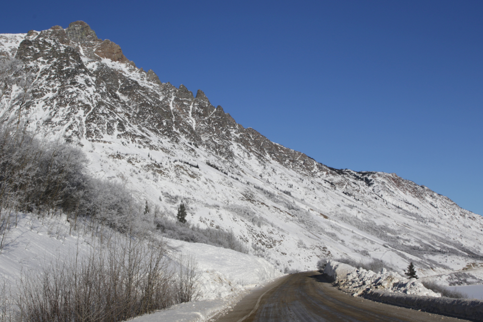
Book Mountain, which is the southernmost peak in the Lime Mountain massif.
I parked at the Bove Island viewpoint, then walked back down the highway a couple of hundred feet to where the view is much better.
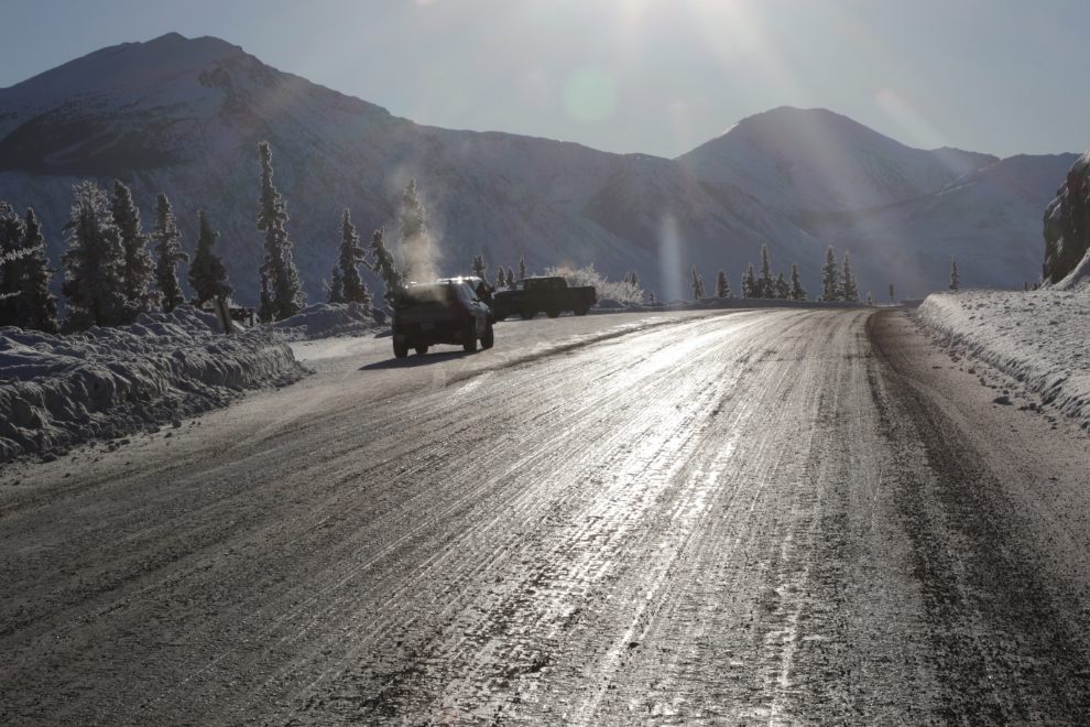
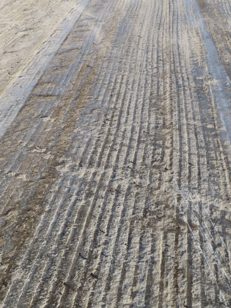
The highway surface. Yes, that’s glare ice – don’t plan on stopping quickly.
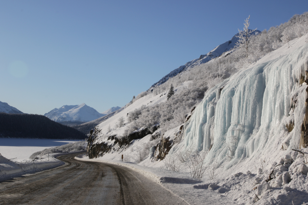
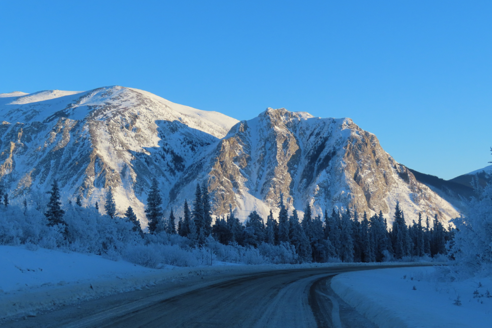
The icefalls at the Venus Mine are so beautiful!
Dail Peak, immediately north of the Yukon-BC border. The southeasternmost peak of the Montana Mountain massif, it’s 1880 meters / 6168 feet high. It was now 1:50 pm.
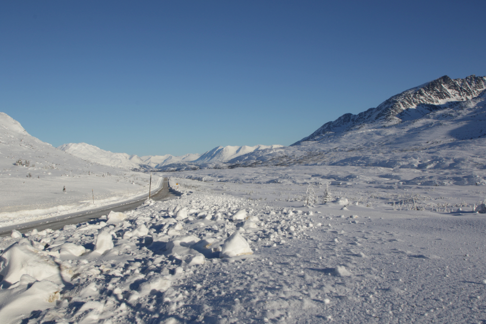
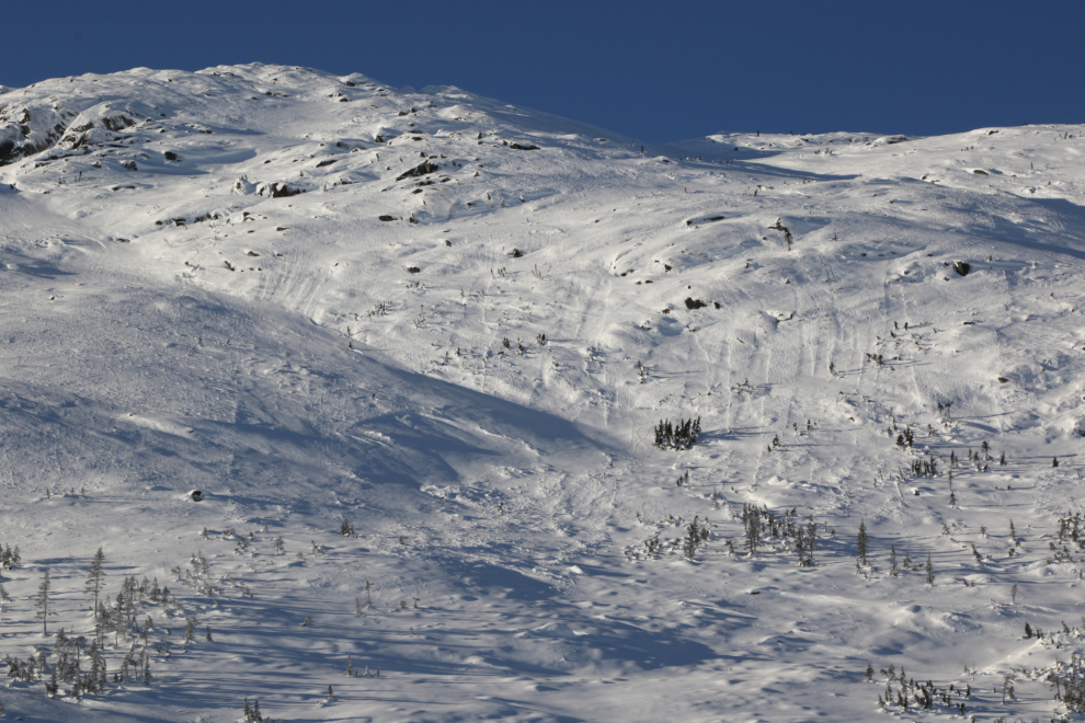
A lot of avalanches have come down across the highway in recent weeks. This is one of the larger ones – 15-25 feet deep as it crossed the road.
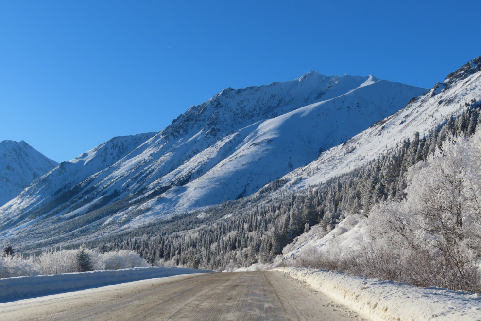
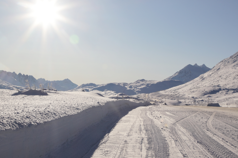
Dropping down to Tutshi Lake. As is often the case in the winter, the temperature climbed from -29 to -22.
The road surface along Tutshi Lake. The special ice blades that gouge the surface are being used on the graders a lot recently. That must be a rough ride.
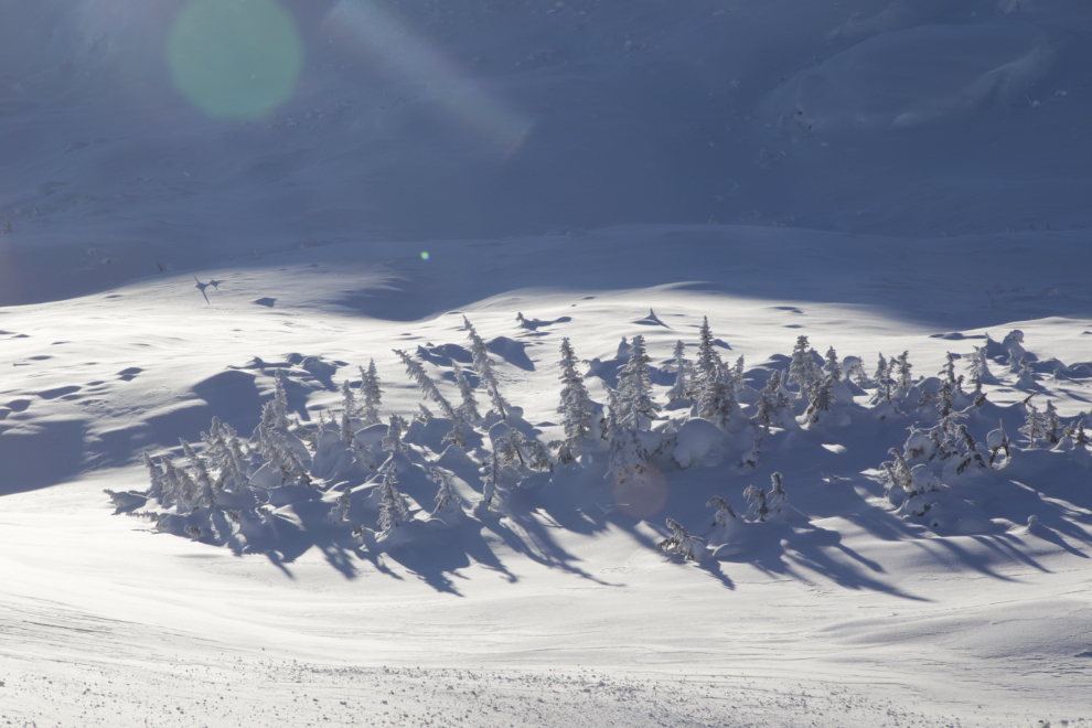
The light was superb! 🙂
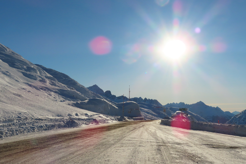
The Customs and Highways post of Fraser.
The Canada-USA (BC-Alaska) border is just ahead, so this where I turned around.
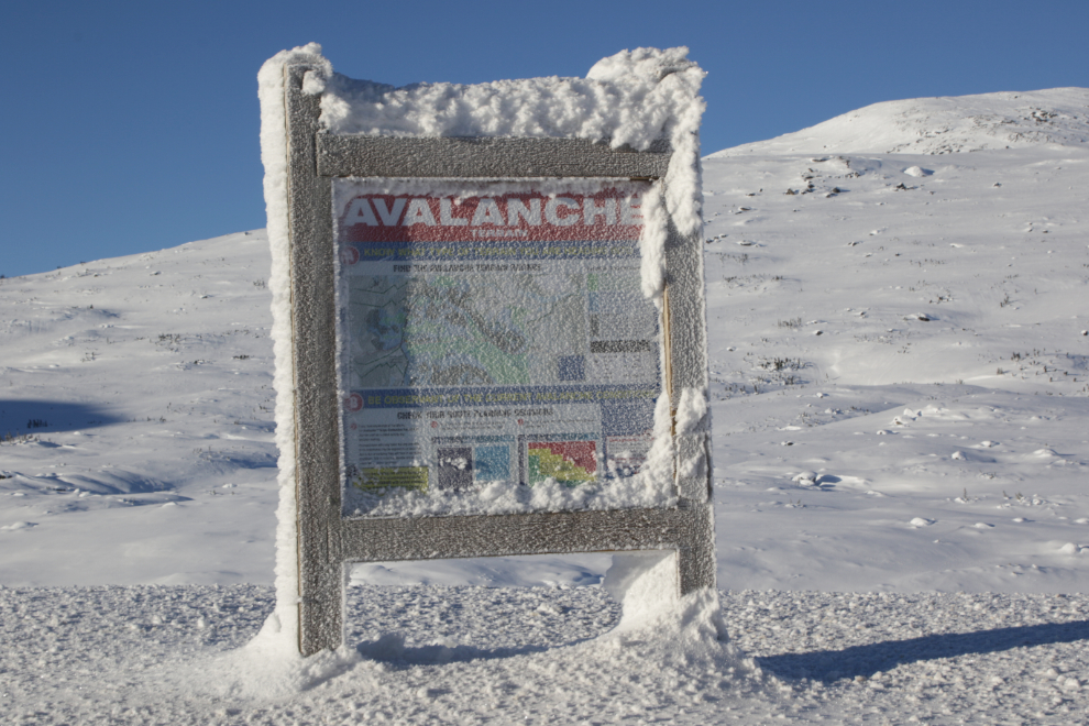
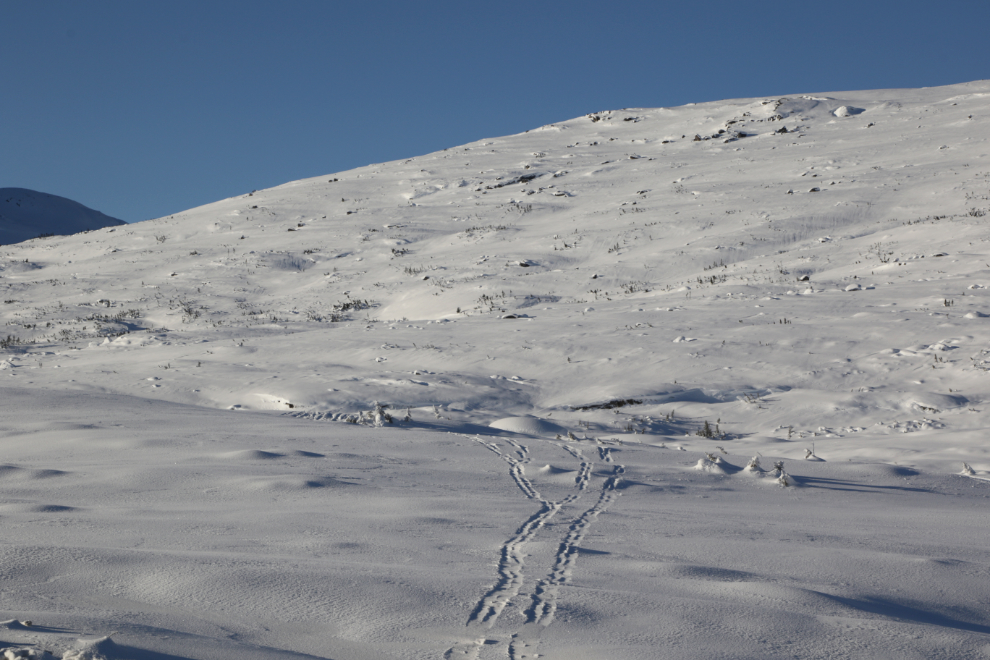
Pretty frosty! 🙂 It was -19C briefly but a brisk north wind killed my possible snowshoeing plans.
There had been pretty much no traffic on the highway, and despite the sunshine, there were
very few people out with skis, snowshoes, or snowmobiles.
Have I mentioned the superb light? 🙂
The view north from “Outhouse Hill” (where the photo above was also shot).
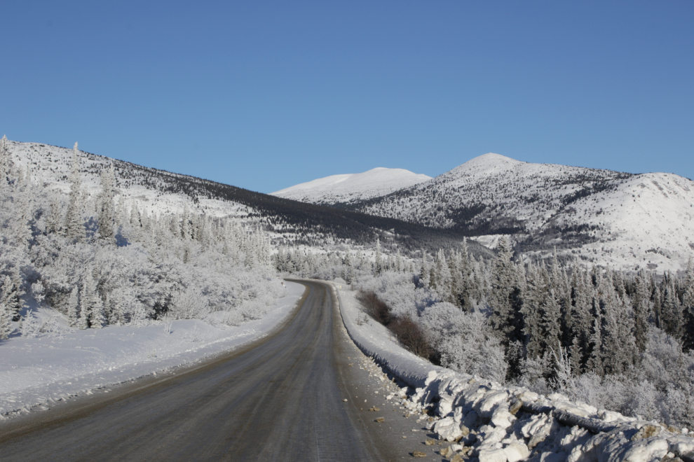
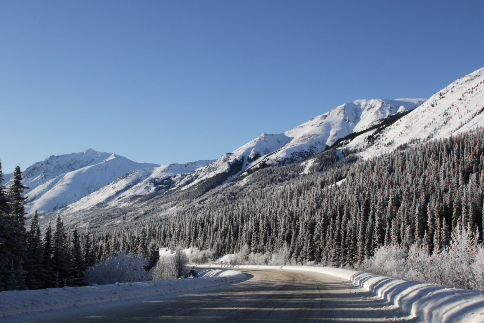
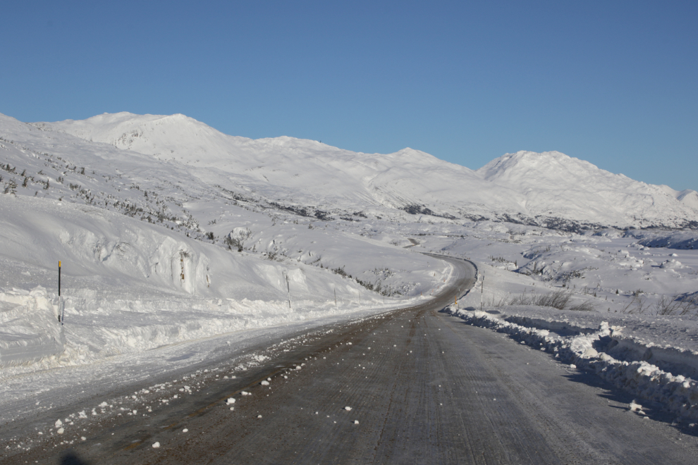
This is another of my frequent photo stops, just because I like the way the highway curves. The chunks of snow on the road were from a rotary snow plow, but just ahead, I met a truck plow scooping them all off. Given the conditions, the level of highway maintenance is pretty impressive.
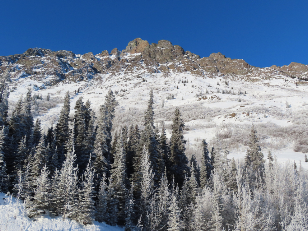
Much of that slope is covered by snow sluffs (mini avalanches).
I parked for a quite a while at Summit Creek, with the Jeep turned around to face the sun. Ahhhhhh… 🙂
What a place. I really needed this mountain day.
The view over MacDonald Creek called for a stop. It’s one of my favourite places to shoot trains in the summer, as they cross the little bridge there. A mist far off in the valley was being created by the rotary snow plow.
Stunning.
The final photo is of Book Mountain again. As I was driving north of the Bove Island viewpoint, I looked in my rear-view mirror and saw that the light was much better than what I had a few hours before, so did a U-turn and went back a couple of kilometers to get this.
It was -28deg;C when I got up at 04:00 but it’s already warming up and we have a nice week ahead, so it’s hard to say what I might get up to. Back to the White Pass to try again for snowshoeing? A run out to Kluane. Perhaps the Haines Summit to meet a friend from Haines. Lots of options 🙂