Exploring the Húsavik, Iceland, region – volcanoes and waterfalls
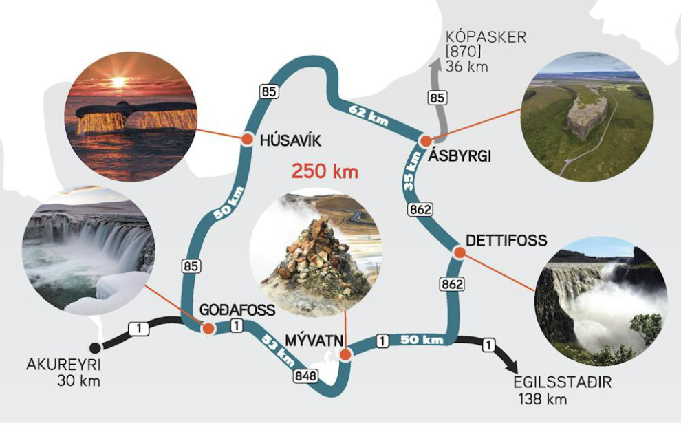
This is blog post #15 from our tour of Europe. On Monday and Tuesday, July 7th and 8th, we were at sea on our way to Iceland. On Wednesday, July 9th, we tendered ashore at Húsavik and took an all-day bus tour called the Diamond Circle, “a magnificent circuit of about 260km which includes some of the most stunning sights and of the most scenic landscapes in the whole country.”
The highlight of our sea days was scheduled to be a close look at the historic whaling islands of Jan Mayen. This photo from Wikipedia shows what would hopefully be one of our views.
We arrived off the northeast coast of Jan Mayen at about 70.4° North Latitude in thick fog. We sailed slowly down the east and south coasts for a couple of hours hoping it would clear, but the fog actually got thicker – when the captain gave up we could barely see the water 70 feet or so right below us.
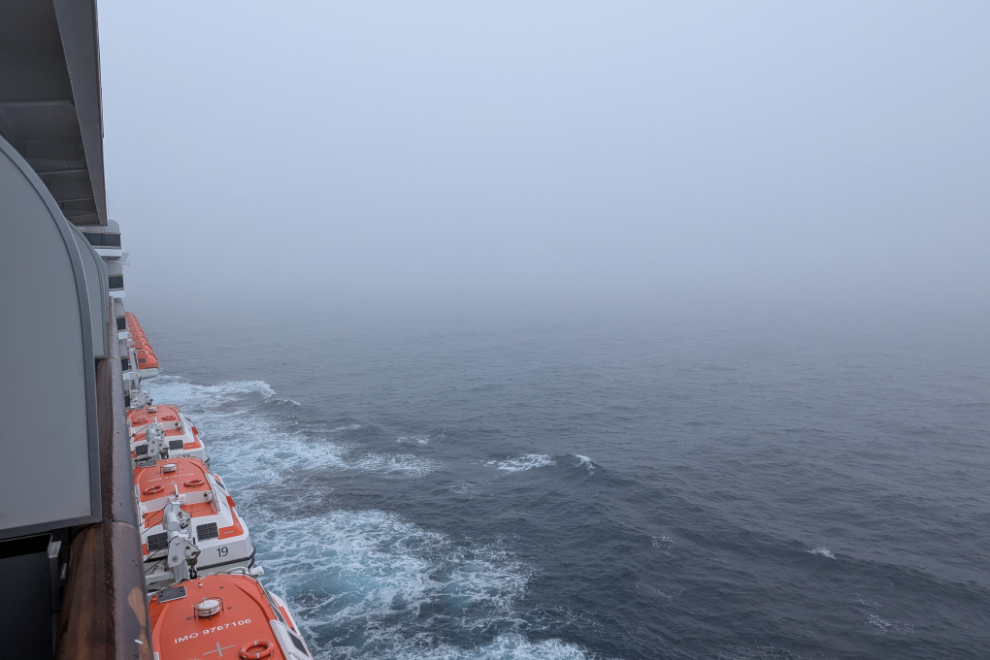
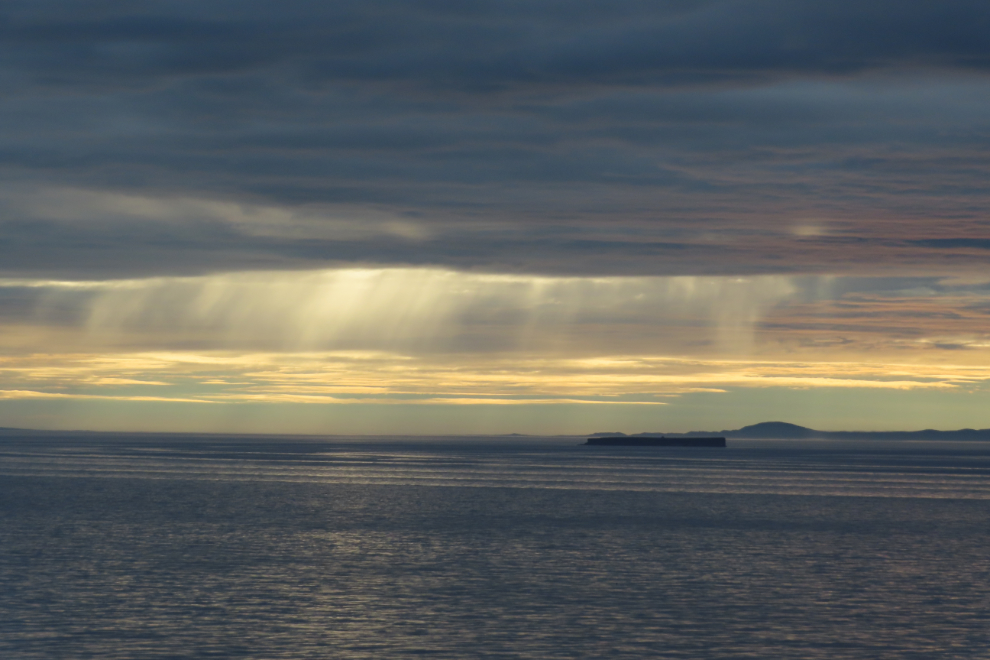
The Murphy’s Laws of travel being what they, this was our view just before midnight, halfway between Jan Mayen and Iceland.
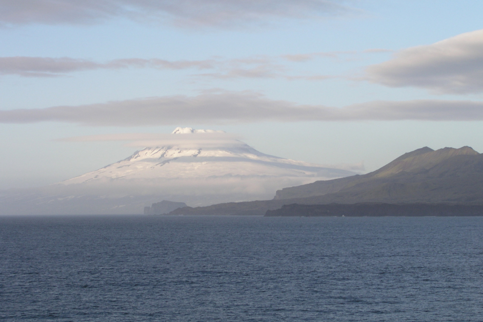
I began July 9th with this Facebook post: “04:50, calm seas, 11C. The north coast of Iceland is ahead – we’ll tender ashore at about 08:30 for an all-day tour that some say is the best in Iceland, and relatively few people come to this area. I’m working on the final post to catch up, about Alta.”
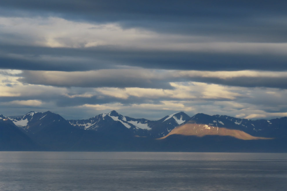
Off the north coast of Iceland.
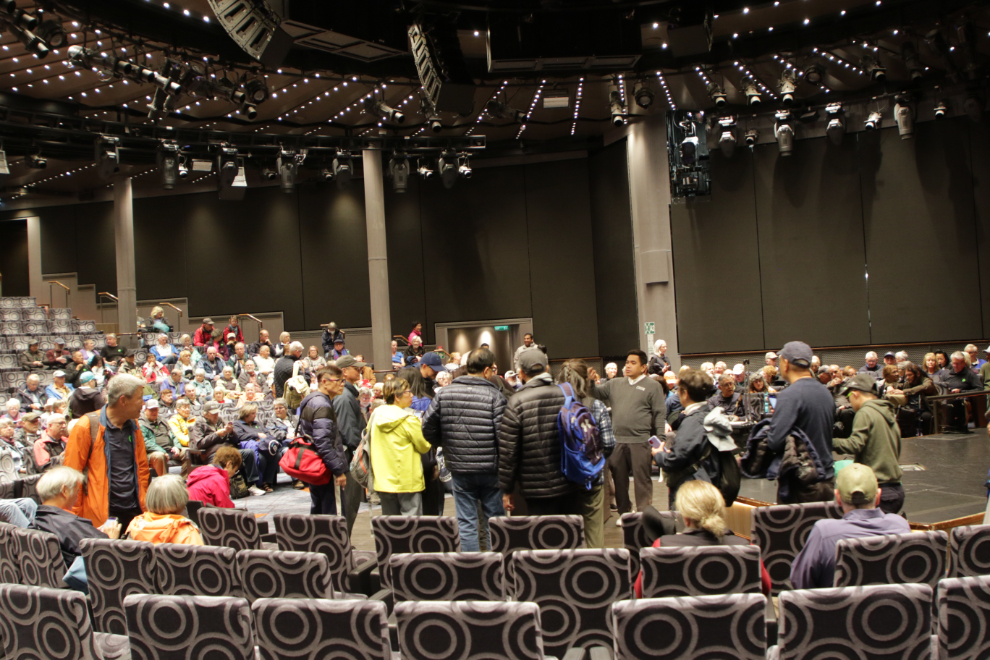
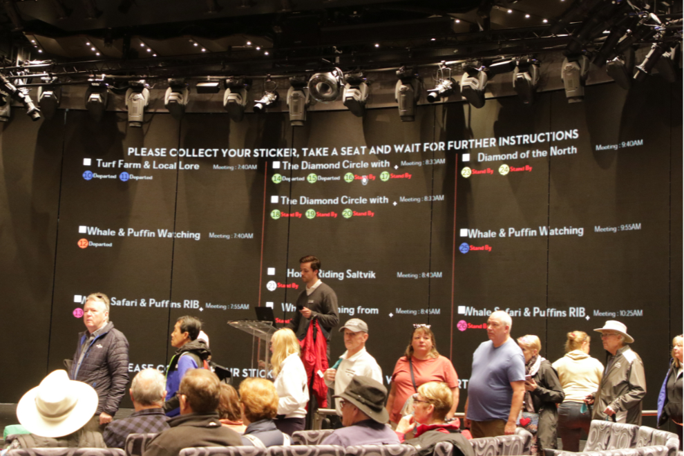
When you book an excursion through the cruise line, you start in the main theatre where tender assignments are given out. Hundreds of people are moved in a very organized manner. There’s a huge profit in these excursions, for both the cruise lines and the local operators. This tour is a good example. It cost $259 – our motorcoach with 55 seats earned $14,300 USD for a 9-hour day, with their expenses being park admissions, lunch, wages for the driver and guide, and a commission of about $4,300 to Holland America.
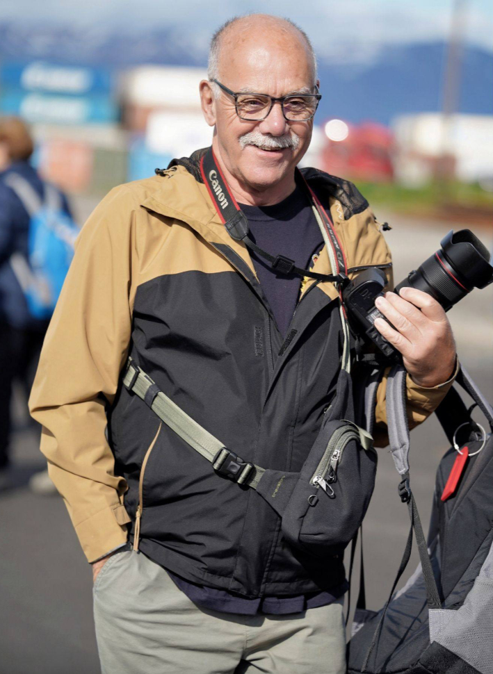
We were soon ashore wearing our little round “Green 20” stickers, and on our way. I had one of the ship photographers take this photo, which is now my Facebook profile photo.
Here’s a map of our route, from Visit Iceland. We drove it counter-clockwise.
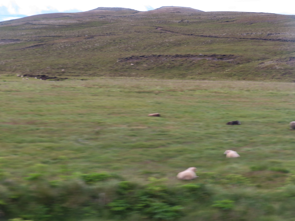
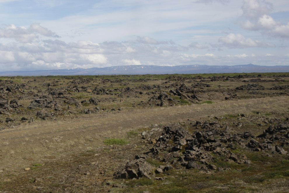
Most of the landscapes we saw throughout the day were agricultural or lava fields, and in many cases farms were pinched between lava fields. There were lots of sheep but they were very widely scattered, and I still wonder how they can possibly be rounded up.
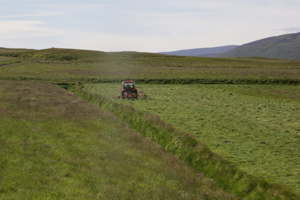
Hay is a major crop (for feeding sheep), and many of the fields looked very productive.
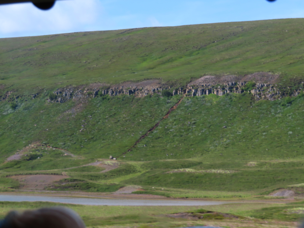
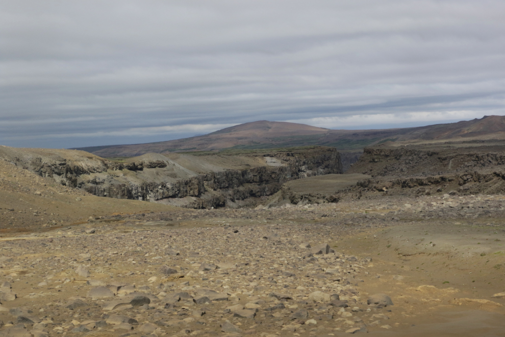
This was an interesting little valley – one side was lined with a wall of basalt about 20 feet high.
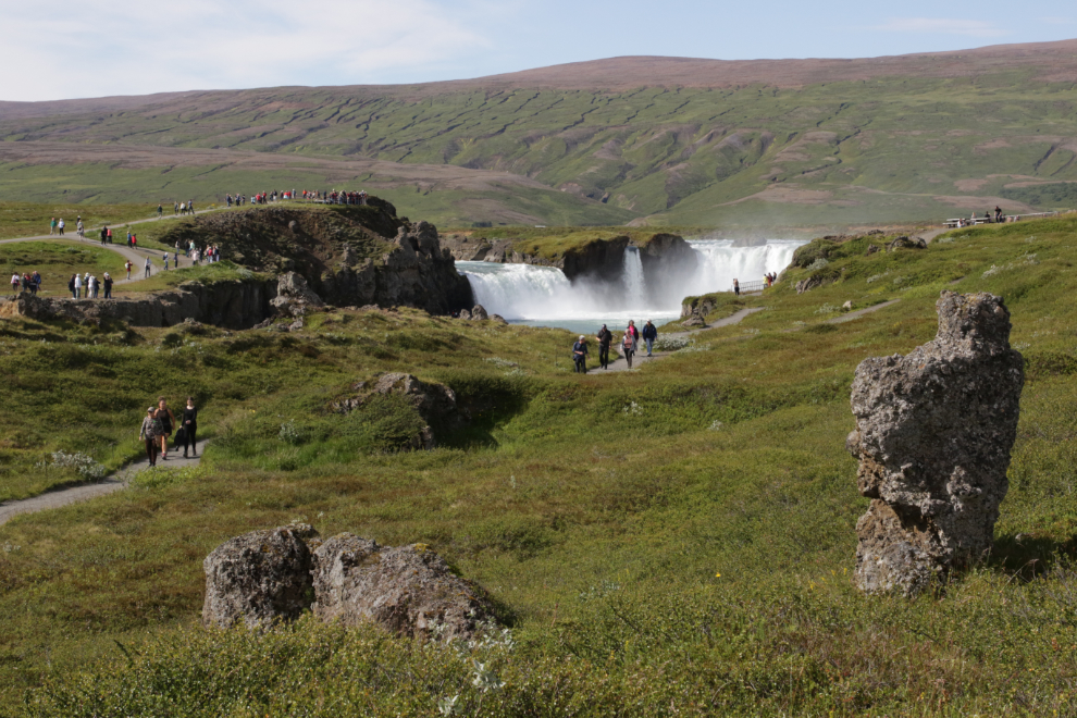
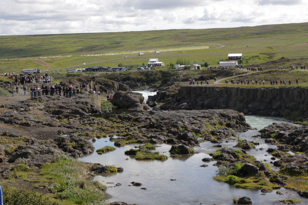
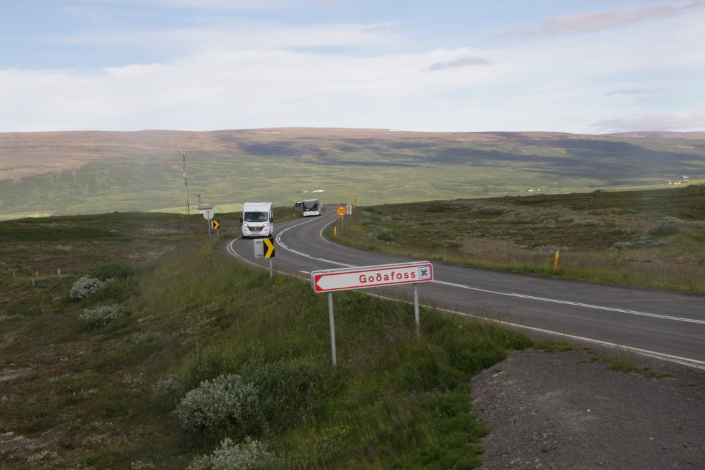
This was our first view of Godafoss (“Waterfall of the Gods”). This sure woke everyone up.
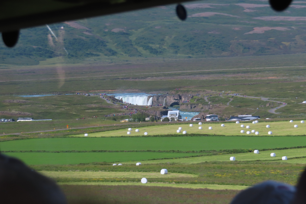
As we got close, though, I cringed. OMG, look at all the people! 🙁
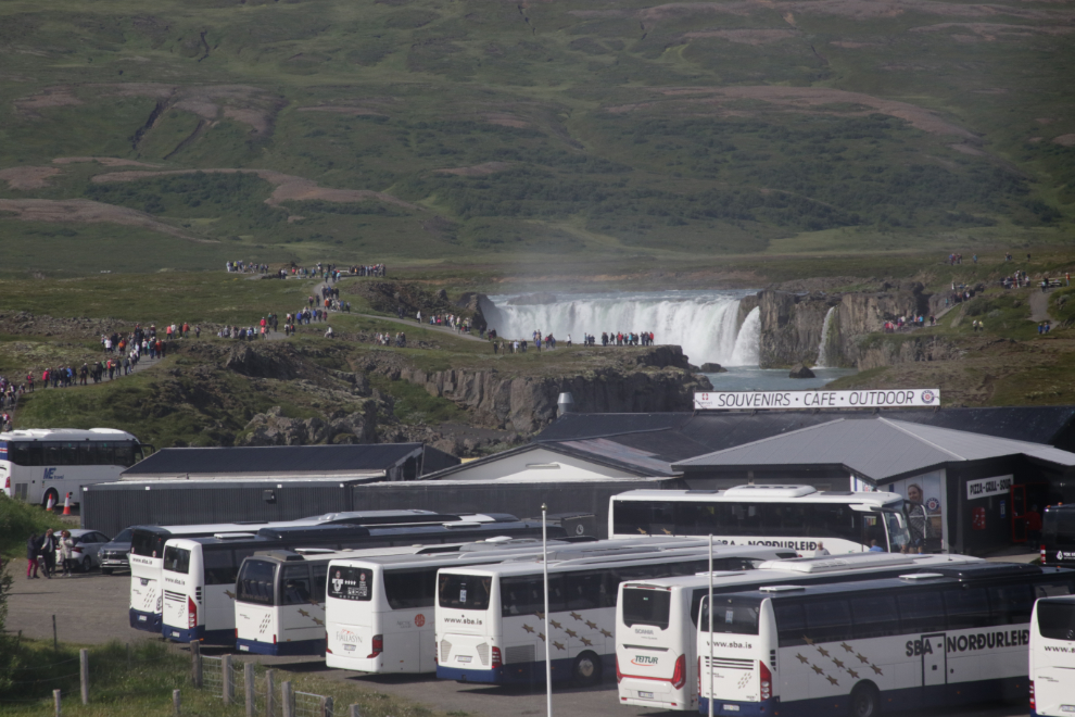
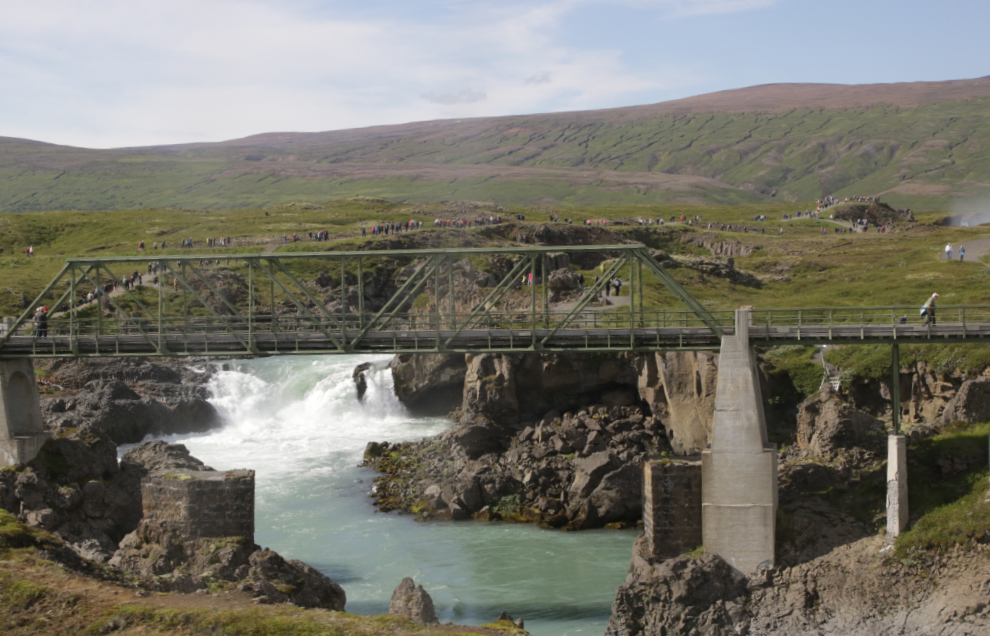
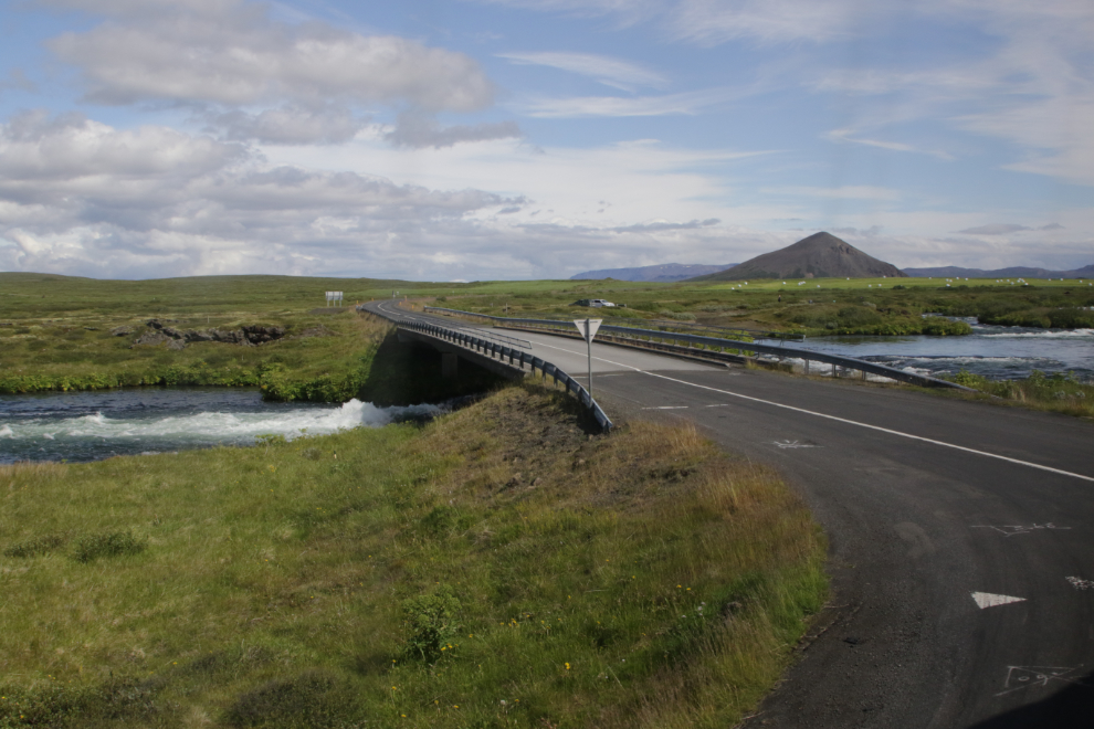
Our guide chose to go to the parking lot on the starboard side of the waterfall, which had far fewer busses and people. I didn’t get back down for a close look at this bridge, but I expect it began life as a one-way bridge for the road – there are still many one-way bridges in Iceland.
Yes, this side was much less peopley!
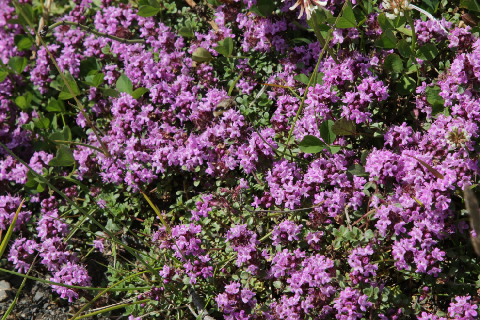
Here, as at every other place we’d been in the North so far, the wildflowers were wonderful.
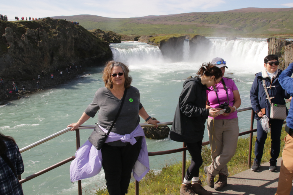
We viewed Godafoss from both main perspectives, below and above the falls. Social media must have been deluged with selfies this day 🙂
Here are two short videos, shot from below and above the falls.
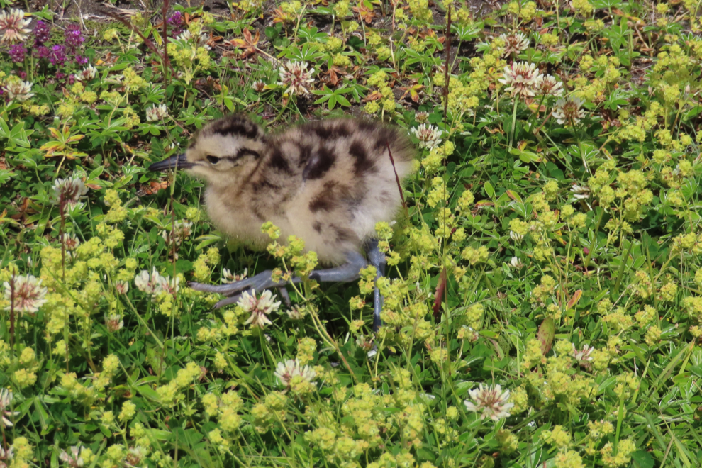
This chick was completely unconcerned about all the people as he did his thing along the pathway.
By the time we started walking back toward the bus, our side was crowded, too.
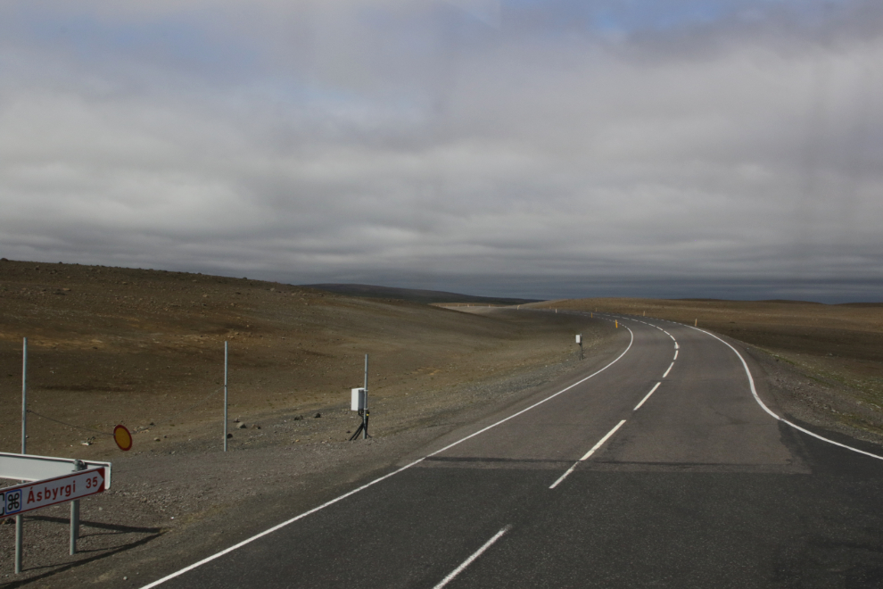
A look at the highway, Route #1, Hringvegur, the “Ring Road” that circles the island.
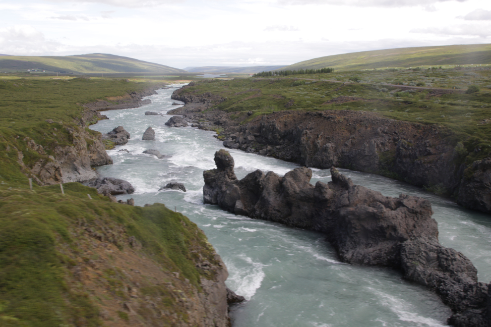
The river Skjálfandafljót continues to have great character for quite a distance below Godafoss. This was the view from the bus window as we crossed the bridge.
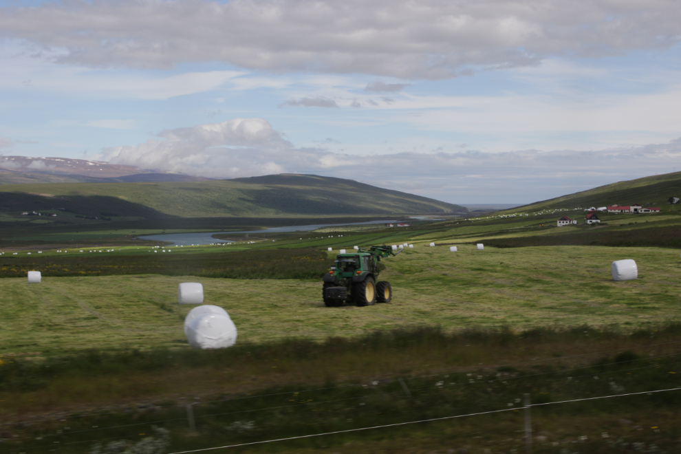
I love photographing farm equipment – especially tractors – working.
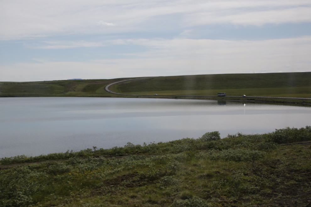
Lakes weren’t common on our route – Másvatn was particularly scenic as we went around it.
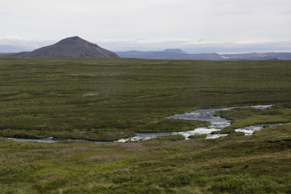
The character of the river Laxá reminds me very much of the Blackstone on the Yukon’s Dempster Highway.
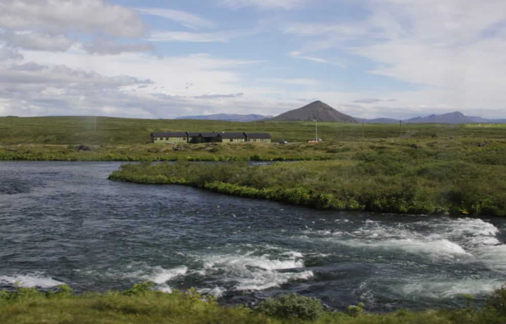
A fishing lodge on the Laxá – a few people were fly fishing nearby.
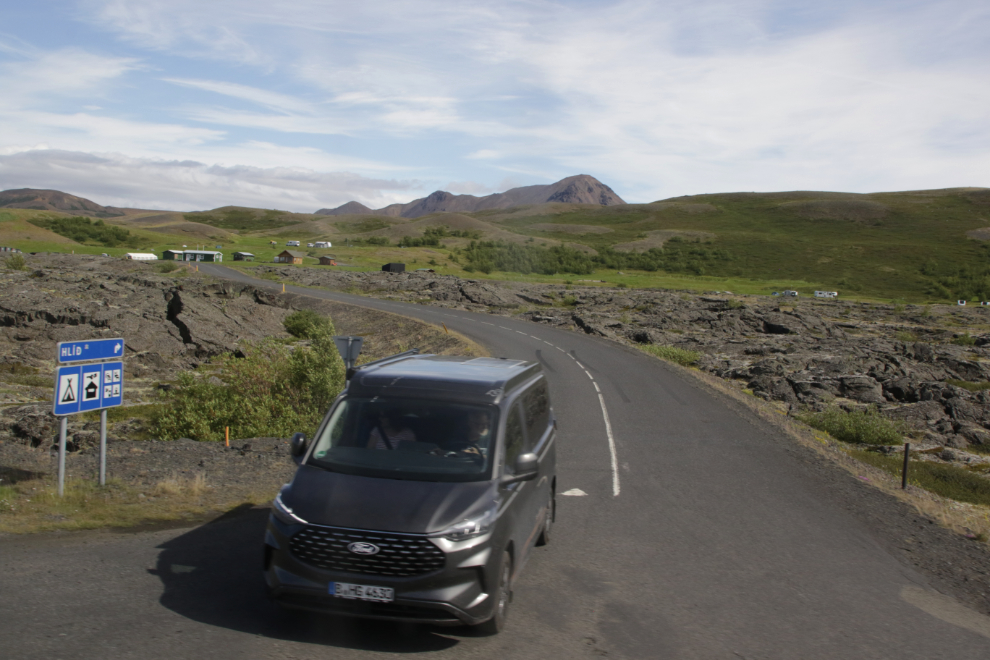
A minute later, we crossed over the Laxá. This is one of many places where it looks like you’re leaving the Ring Road, but aren’t. Even though the road you were on goes straight ahead, it changes number – in this case it becomes Route 848.
Lava fields and farms…
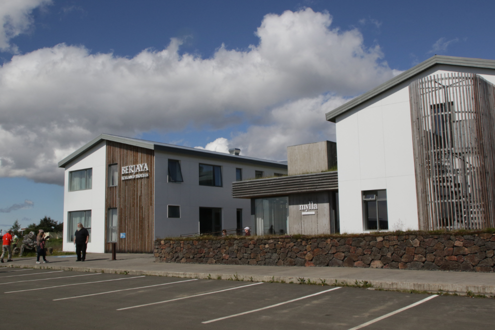
We stopped at the Mývatn hotel for lunch. This was a good example of how difficult it can be dealing with tour busses – they didn’t know we were coming, and it was a mess! I know my limits (well sometimes) – I walked in, saw the chaos and left. Cathy came out to find me, and agree that coming in would not be good for my head. I chatted with our driver for a bit then went for a walk.
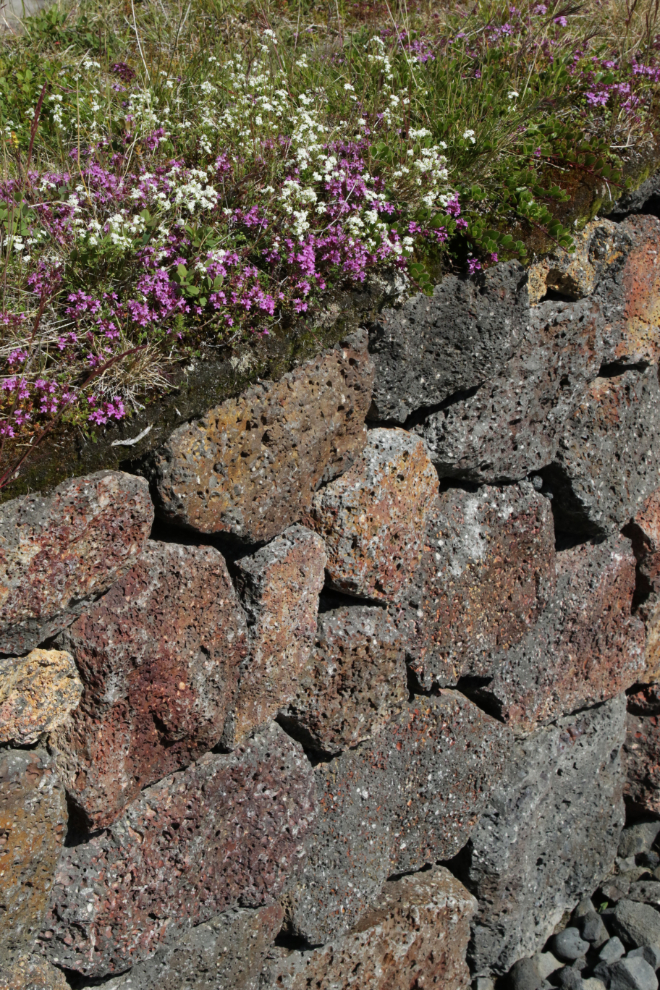
The lava-rock wall with a teeny moss garden on top was wonderful.
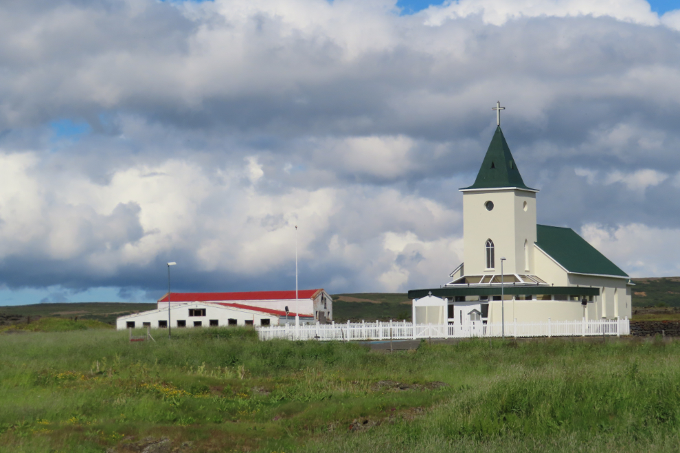
This is Reykjahlídarkirkja – the Lutheran church behind the hotel.
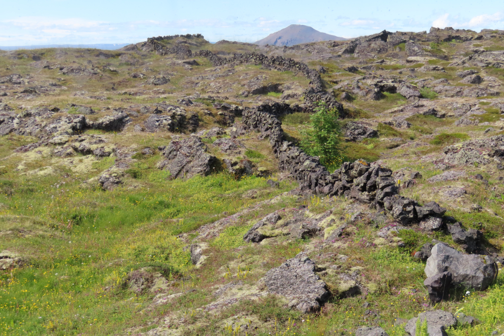
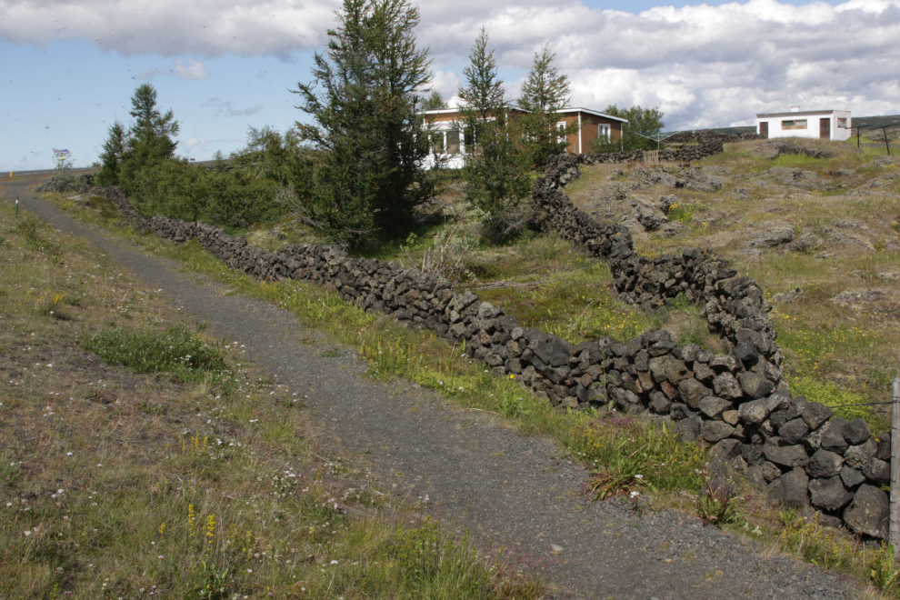
An astonishing amount of work has gone into building lava-rock fences – across the field on the other side of the highway…
…and at the private home beside the hotel.
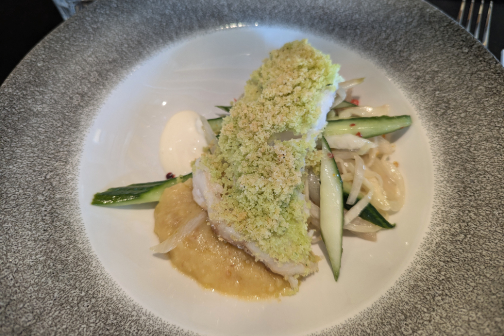
Cathy eventually came out to find me again, and said that things had calmed down and I should come in at least for a drink. We sat at the bar, and the roast trout that eventually arrived was very good – the staff of the hotel gets top marks for dealing with a stressful situation.
With our tour schedule now totally demolished, we continued on once everyone had eaten. The Bjarnarflag Geothermal Power Station is just east of the hotel, with a lovely blue lake in front that has water too hot for a dip.
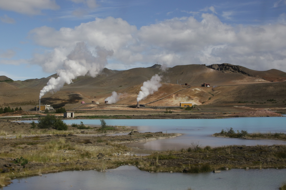
The mountain seen at the upper right of the photo above is even more dramatic from this angle.
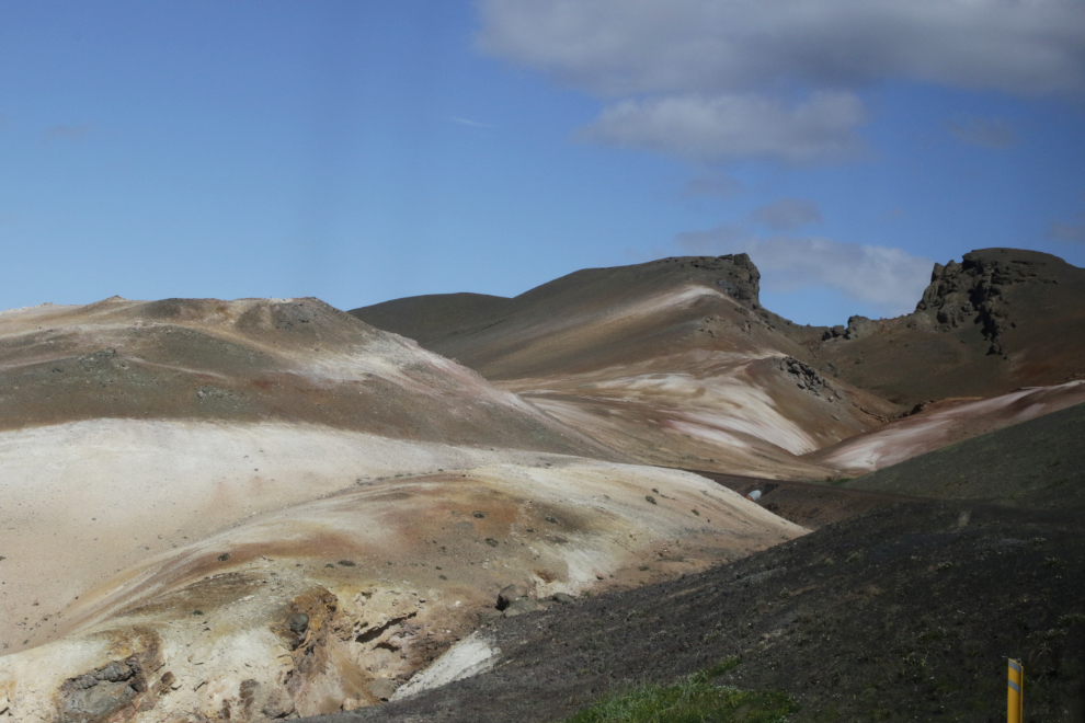
A rather steep climb through a mountain pass and back down…
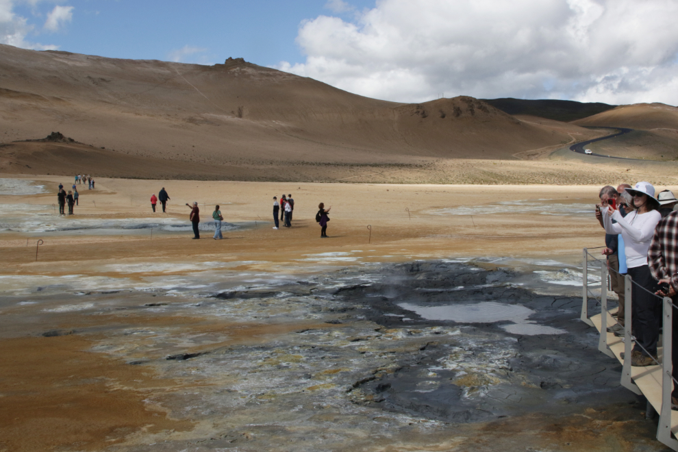
…brought us to the Hverir geothermal area, at the base of the spectacular volcanic mountain Námafjall.
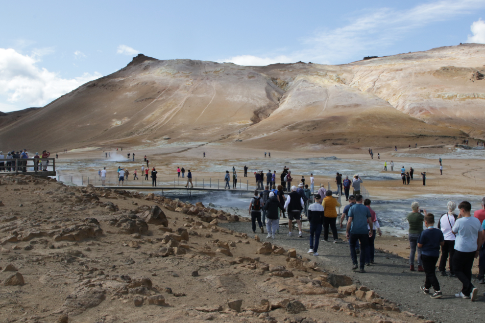
While the area is small, there are some great boiling mud pools…
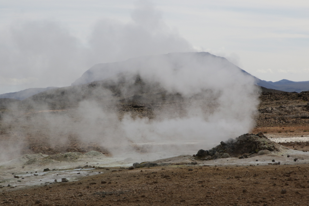
…and this fumarole, or steam vent. I shot a very short video, but all you can hear is the wind, not the steam hissing.
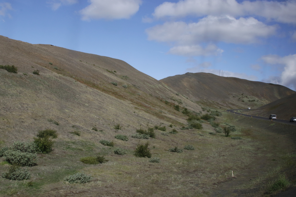
Continuing on, the old road is visible for many miles. There are stone cairns every 100 meters or so – hundreds, perhaps, thousands of them. Winter navigation aids?
East of Hverir, we turned north off the Ring Road onto Route 862, then at this point, east on the Dettifossvegur (Dettifoss Road) to reach a waterfall.
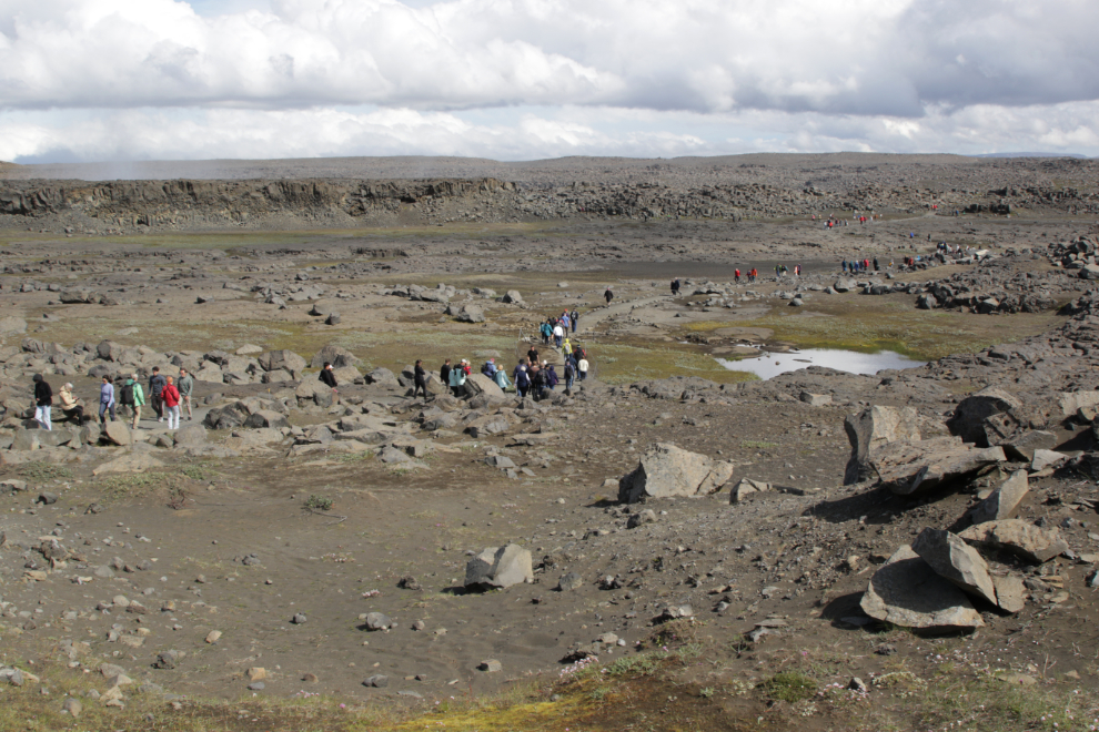
Before we reached the waterfall, we could see a hint of how incredible the canyon it falls into is.
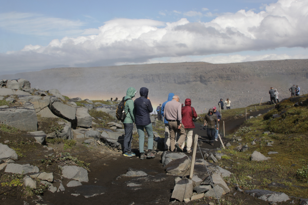
The Dettifoss (West Side) parking lot in Vatnajökull National Park – another busy place.
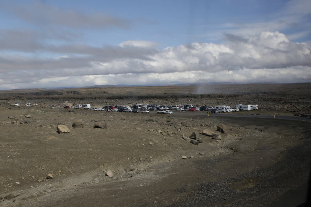
We were given 45 minutes here. I had just passed a sign saying it was 800 meters to the falls. This wasn’t going to work.
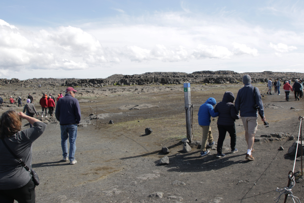
At this junction you go left to Dettifoss, right to smaller Selfoss. At another junction ahead, the choice was between the viewing platform or the close look. Cathy and I parted here – she went to the closer platform.
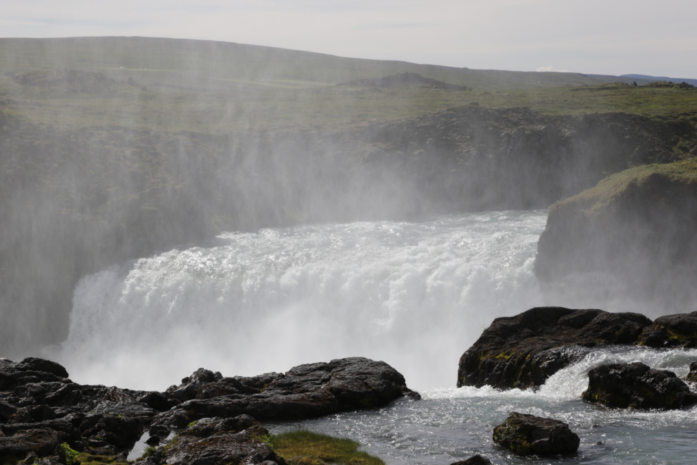
Getting close, and the spray from the falls was already thick.
Dettifoss is said to be the second most powerful waterfall in Europe after the Rhine Falls. It is on the Jökulsá á Fjöllum river, which flows from the Vatnajökull glacier.
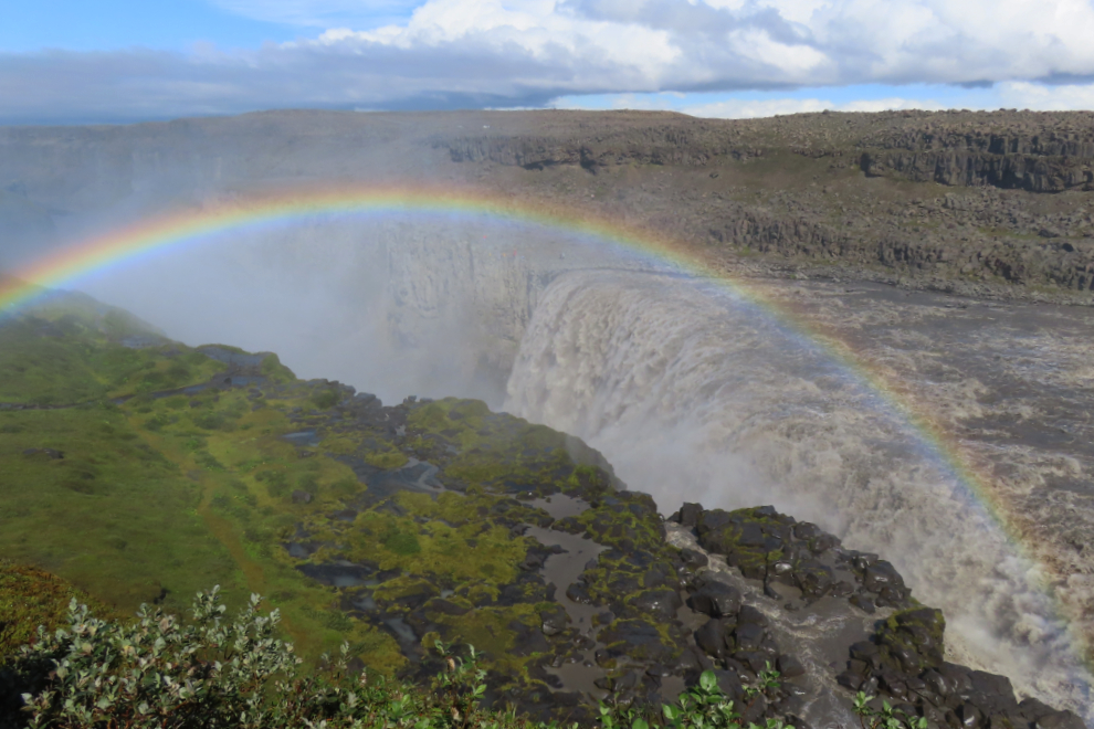
The spray made photography difficult, video even more so. I had brought the 3D camera I borrowed for the trip, hoping to shoot a 30-second VR, but that was impossible – even a 10-second I shot with my phone was not great because of the spray that built up on the lens.
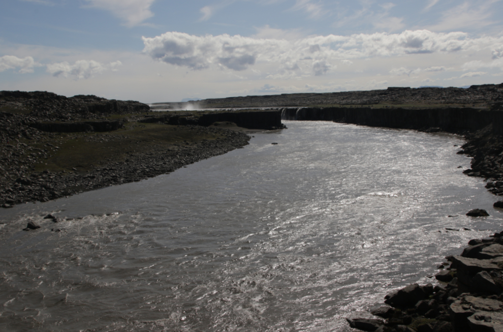
Looking upriver from Dettifoss, the spray of Selfoss could be seen. This should be at least a 90-minute stop, not 45.
I was back at the bus on time, but few other people were. I eventually got a message from Cathy saying that the time had been extended – but only the people at the viewing platform, where the guide went, knew that. I was not happy. The guide had clearly never been here before. She’s from Spain, and this is her second season working in Iceland.
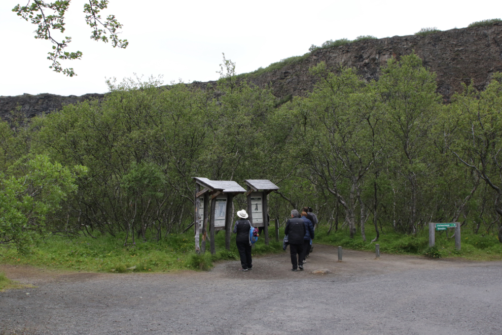
Our final stop on the tour was the horseshoe-shaped canyon called Ásbyrgi (Fortress of the Gods). Getting to the most impressive part is a few hundred meters walk.
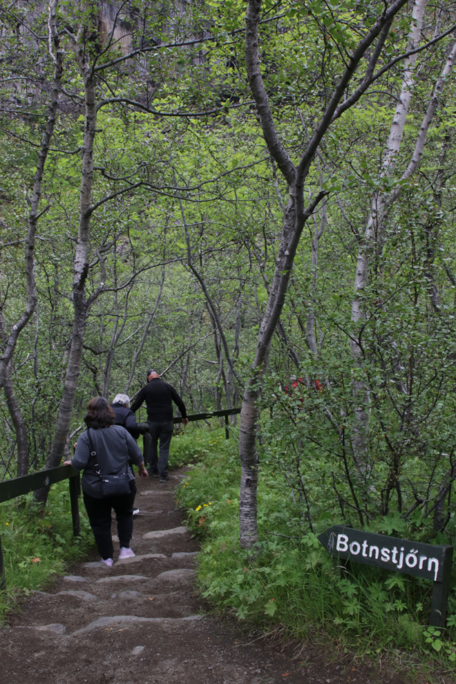
There are two viewing platforms at the lake Botnstjörn, one on the shore and one far above. I walked to both.
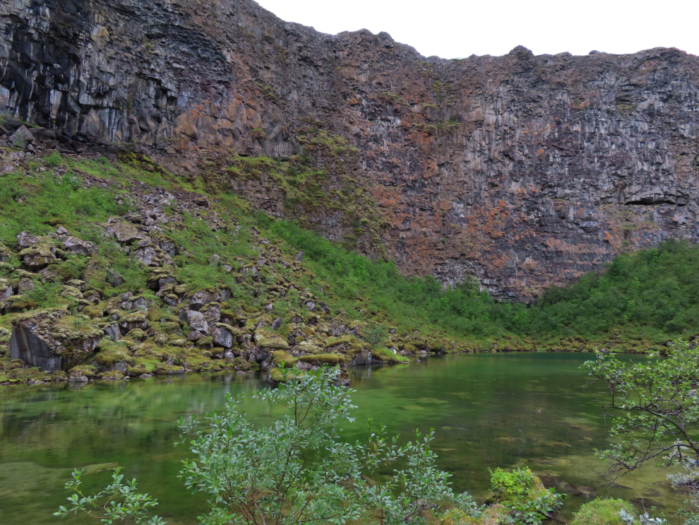

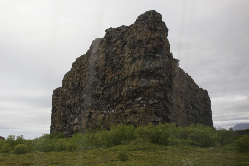
The canyon is divided at the foot by a 25-meter-high monolith called Eyjan (“the Island”).
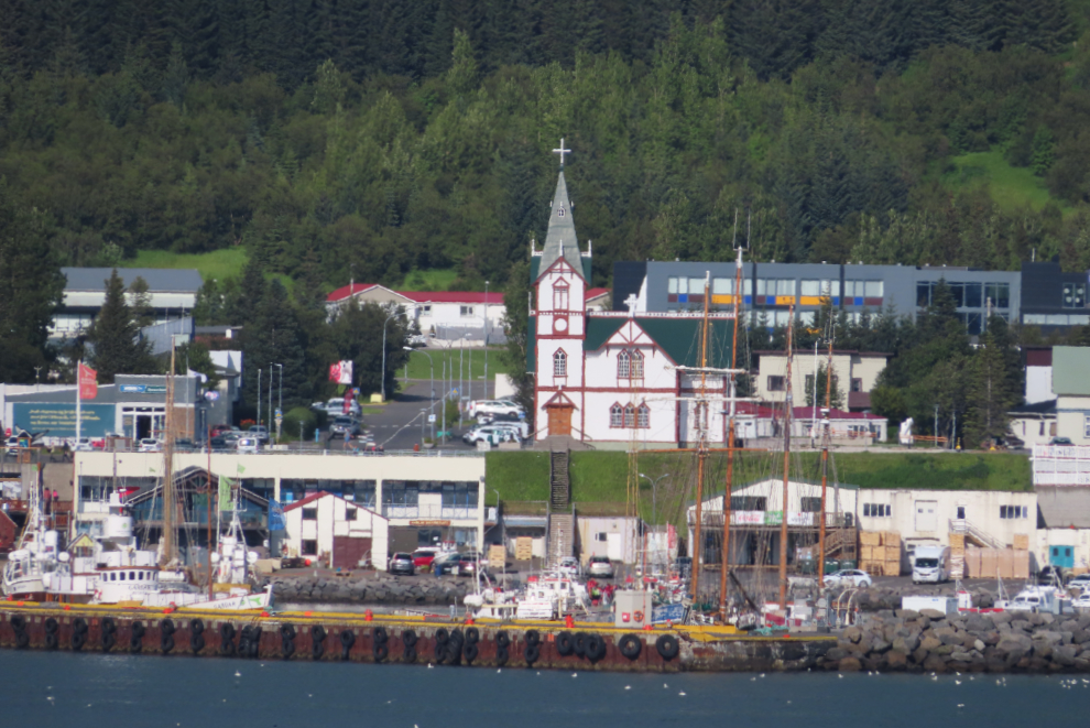
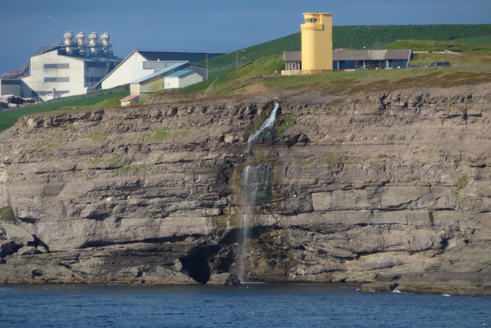
It had been a very long day, and we arrived back at Husavik with neither the time nor the energy to see any of the town. I shot this photo as we were about the board a tender back to the ship.
No, I never see too many waterfalls 🙂
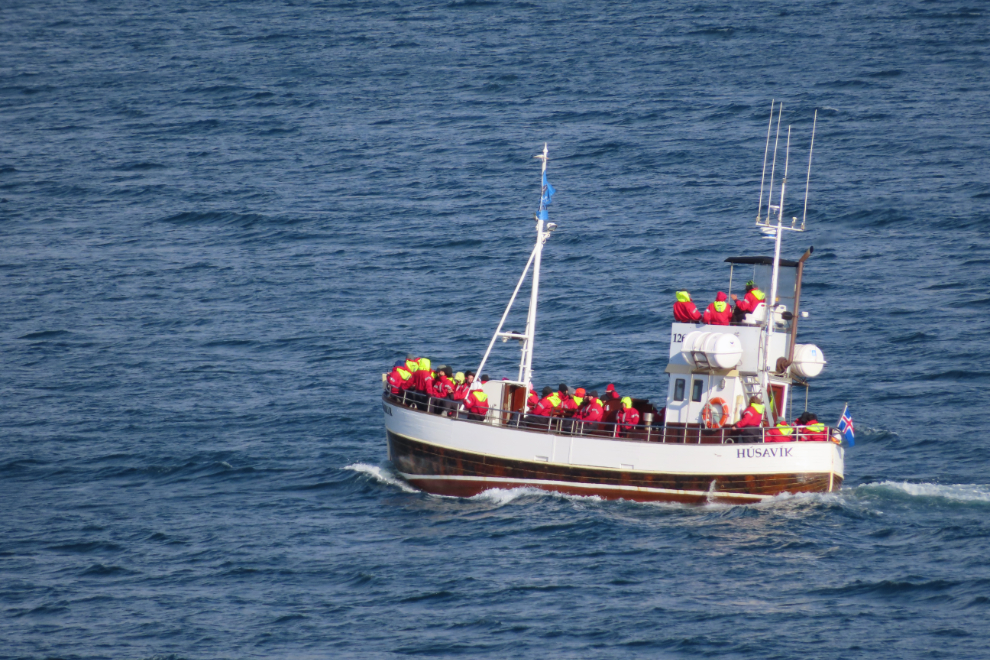
As we were sailing away, other visitors were returning from whale-watching outings, which Husavik is known for.
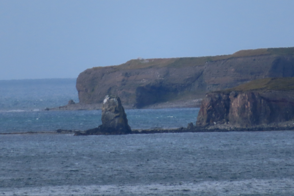
Heading out to sea, though not very far. We had been scheduled to arrive at Akureyri the next morning, but the captain decided to go straight there, docking at 10 pm, just 4 hours away.
That evening, we got notice that due to dangerous ice conditions, all of our port stops in western Greenland – Nanortalik, Ilulissat (Jakobshavn), Sisimiut (Holsteinsborg), and Nuuk (Godthab) had been cancelled. Three new ports had been added, 2 in Greenland and 1 in Iceland, and other changes had also been made. Such as the realities of travel, especially in places like this.