A walk at the Whitehorse airport and a look at progress
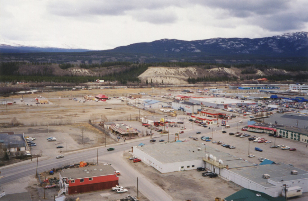
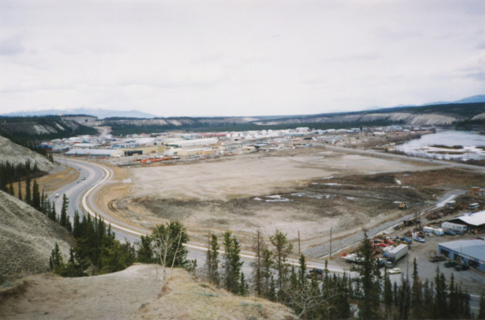
It’s hard to say what started this, but I noted yesterday that I had shot a dozen photos of Whitehorse from the top of the clay cliffs – part of the airport trail network – on May 14, 2000. I posted two of the ones that show the most changes to today, on my Yukon History group. Someone suggested that it would be great to see the same view today, and I decided to make that happen.
I printed out the next two photos, then headed into town for a walk to get exact matches of the scenes.
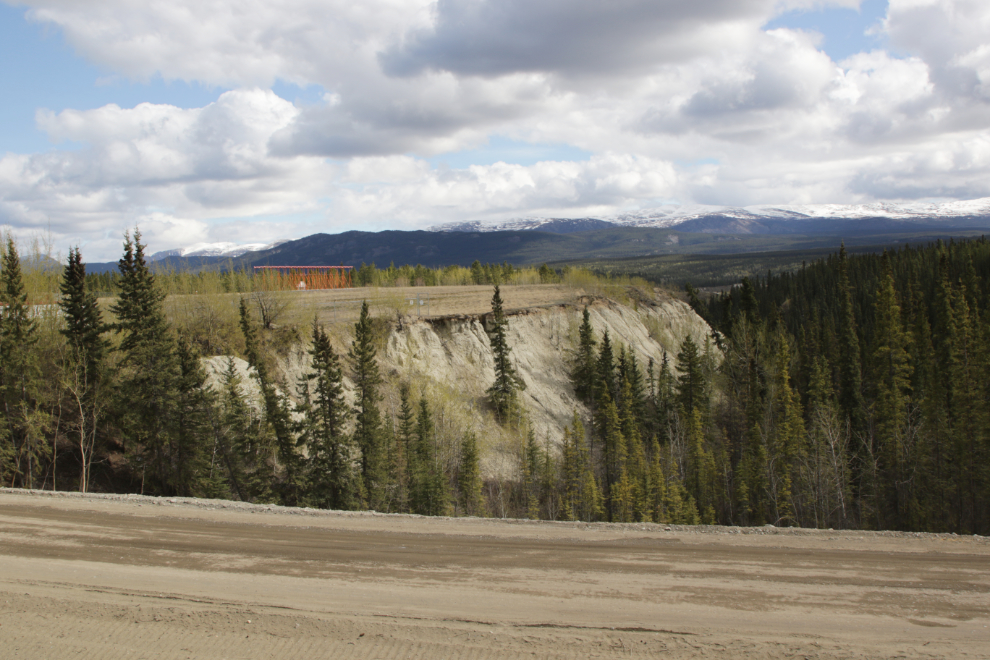
I’d been watching the major construction going on at the airport for a long time and have lots of photos shot from the highway, but I think this was my first walk along the path that’s been kept open around it. The first photo shows Baxter’s Gulch at the north end of the airport (the airport is to the right), with the construction road on top of a pipeline project of some sort from last year. An aside – Baxter’s Gulch is the little valley that Spook Creek runs down. Wouldn’t it have been easier to rename the creek Baxter Creek rather than stress about the origin of the name Spook Creek for months? Oh well…
The paved trail parallels the Alaska Highway, which is about 20 feet above it.
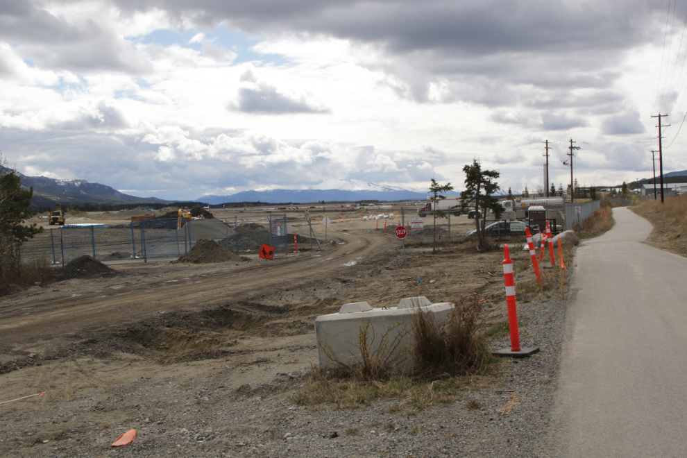
The amount of equipment moving massive amounts of dirt is quite mind-boggling.
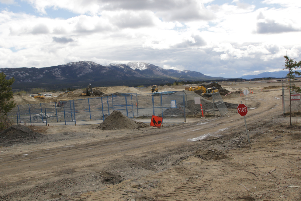
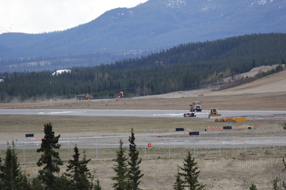
While researching the project for this post, I discovered that this is the largest single Canadian-funded project in Yukon history. Despite that, it has only been reported on in fragments by both local newspapers. The project currently going on at this end of the airport is a $106 million contract to rebuild the main runway and make improvements to related drainage. The total bill for airport improvements is $250 million – that’s $5,500 for each and every resident of the territory. This runway contract was awarded to Gridiron Construction, which nobody has mentioned is the BC division of an American company that was bought by a German company in 2007.
Okay, down the path towards the top of the clay cliffs (the slope of which is being termed the escarpment by the City in news about the growing problem of landslides).
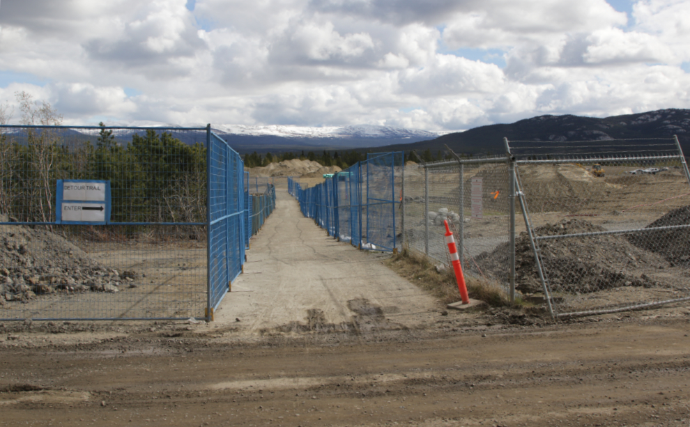
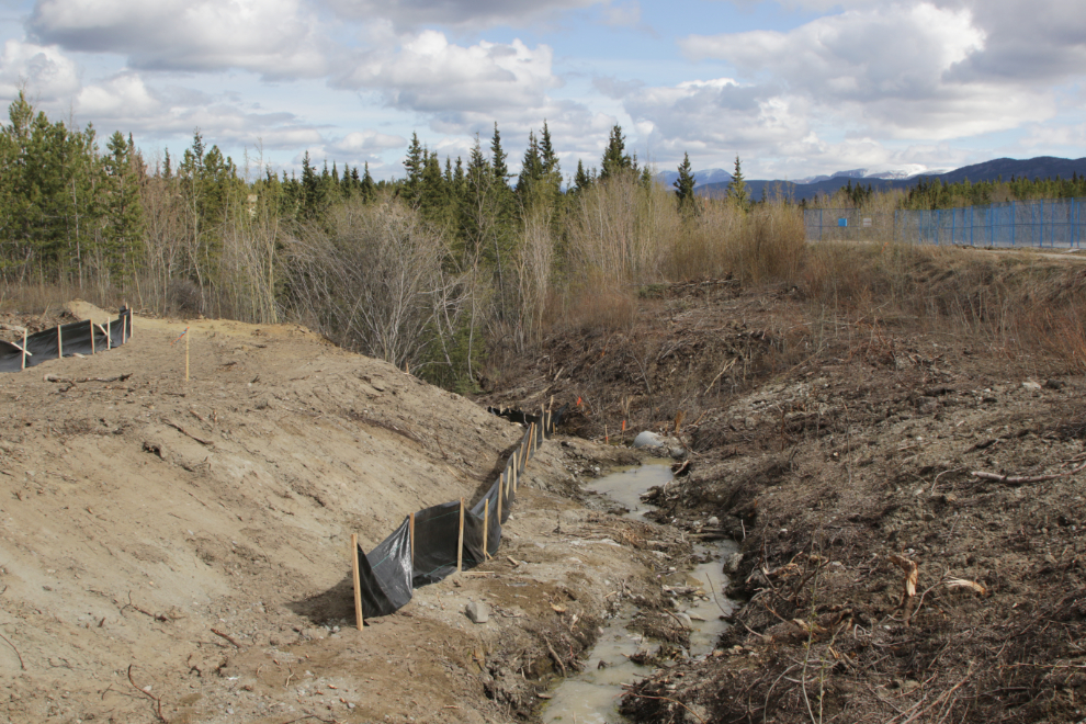
This appears to be part of the drainage project.
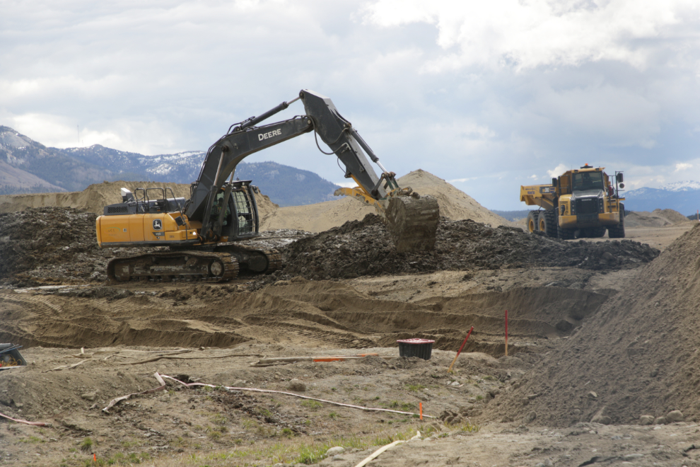
Hey, there’s a creek under the airport!!
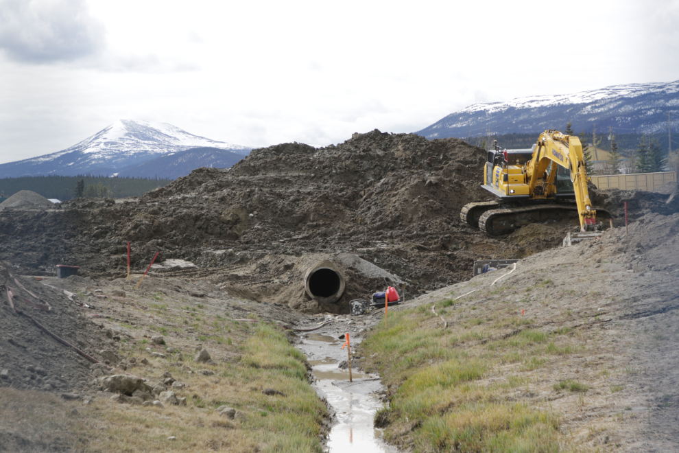
This is ultimately the headwaters of Spook Creek. Baxter Creek 🙂
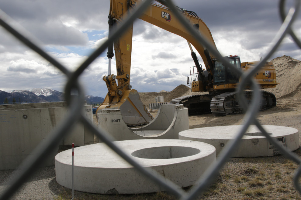
There’s a fortune in concrete waiting to be installed, in shapes I don’t recognize.
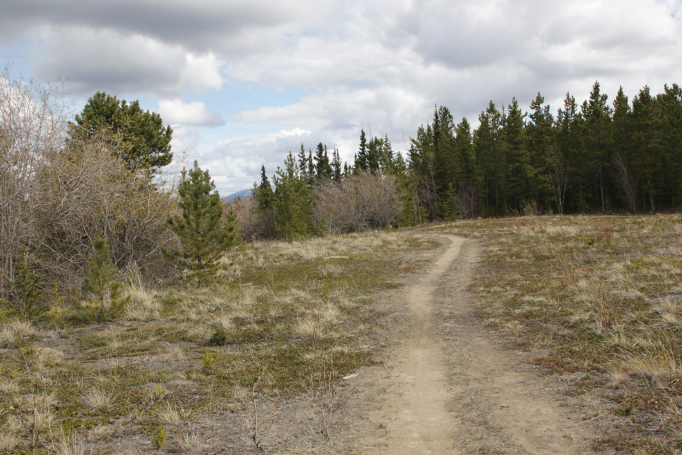
Okay, that’s enough construction for a while. Off into the forest. Phew!
The next photo shows the northern tip of this section of the escarpment – it’s cut by Baxter’s Gulch here. I shot the photos from out there in 2000.
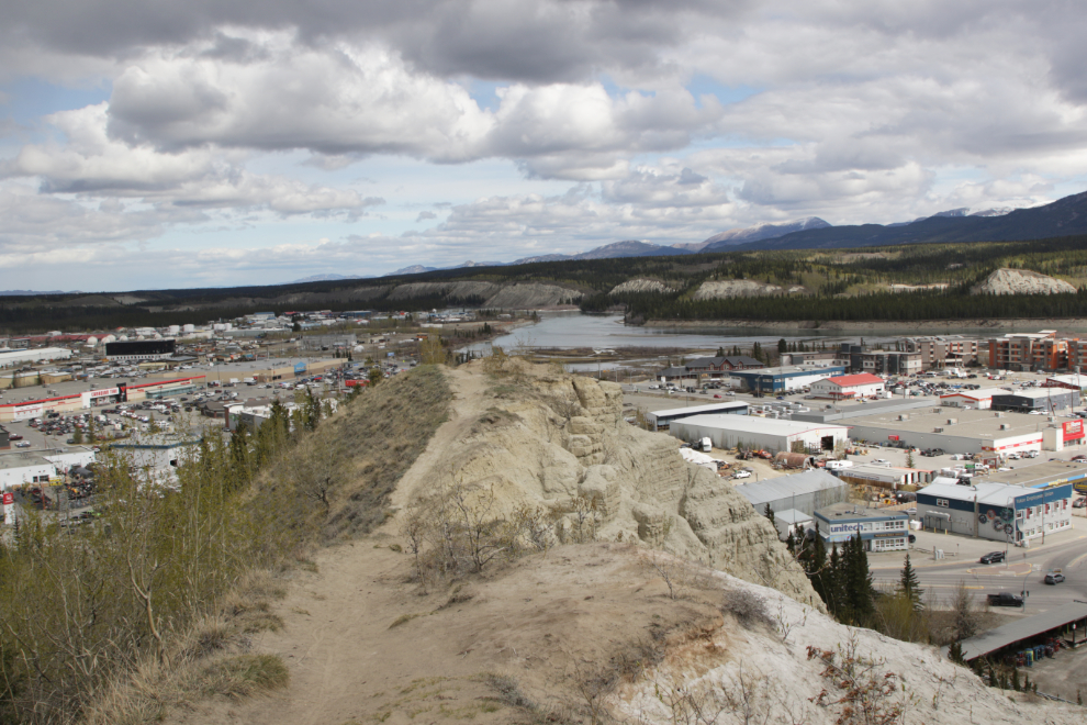
Checking the views out – having the printouts made matching the photos easy.
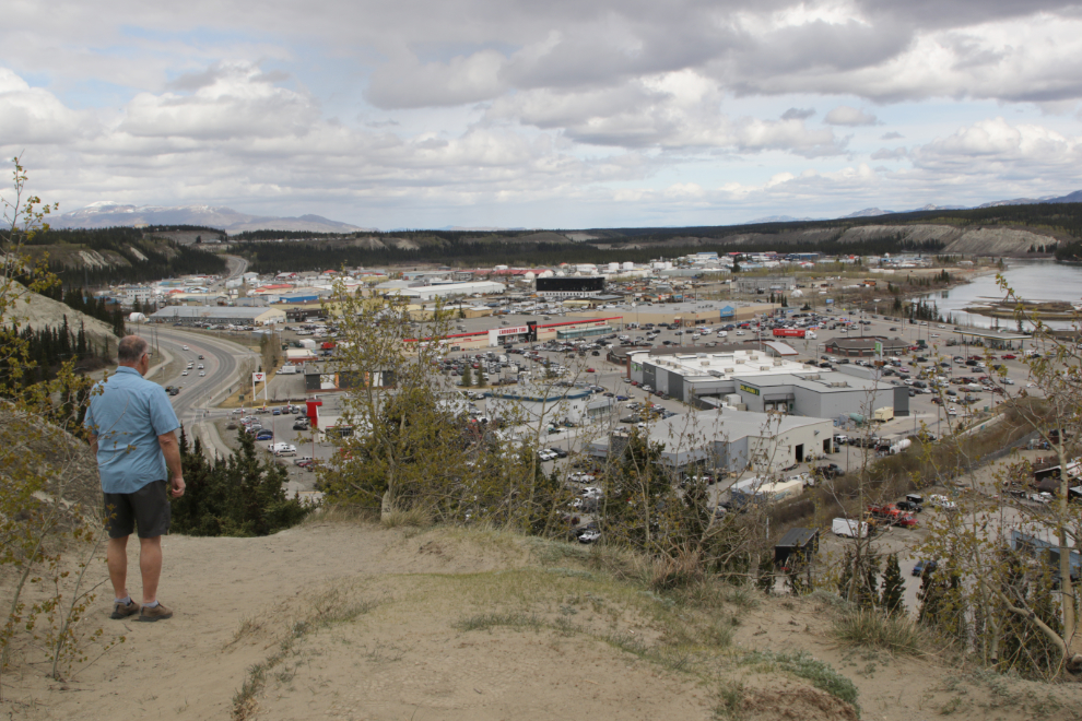
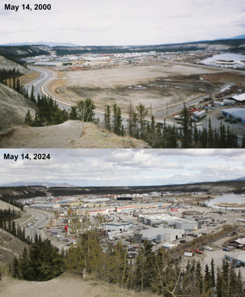
Here’s the first pair, looking northeast across town. You can see a much larger version here.
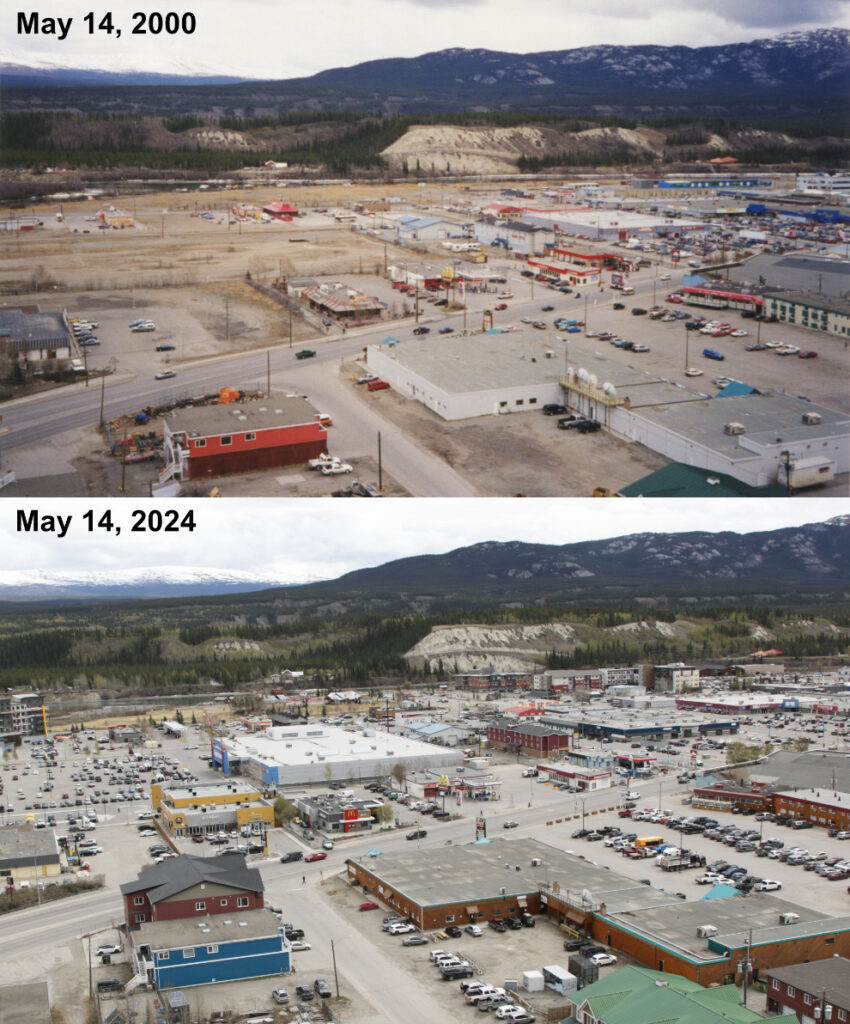
And looking northwest – a much larger version is here.
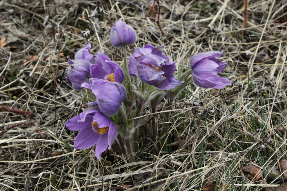
Mission accomplished, and it was a nice day for a wander, so I kept going. There are hundreds of Prairie crocuses along the forest edge. They look like they might have be nipped by frost.
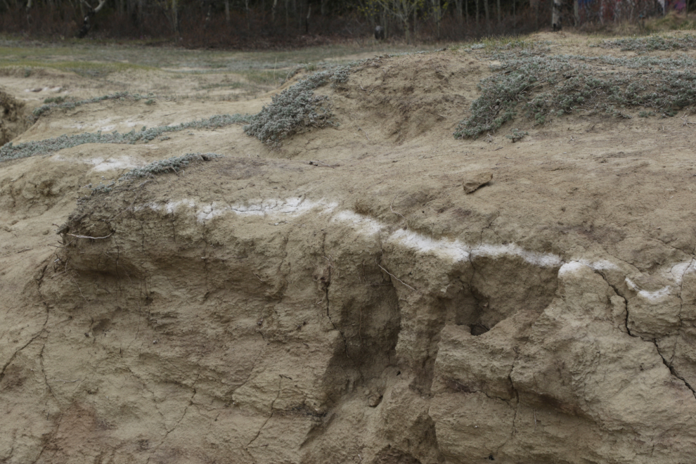
Along the bank, a clear view of the internationally-known “White River ash” from a massive volcanic eruption near what is now the Yukon-Alaska border 1,250 years ago.
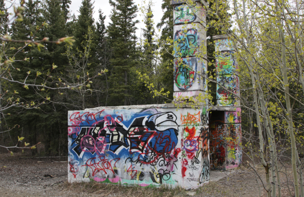
I hate grafitti, but the old military document burner is sort of a traditional art gallery now, with a constantly changing show. Many people call it a crematorium which is much more interesting, but no, it wasn’t.
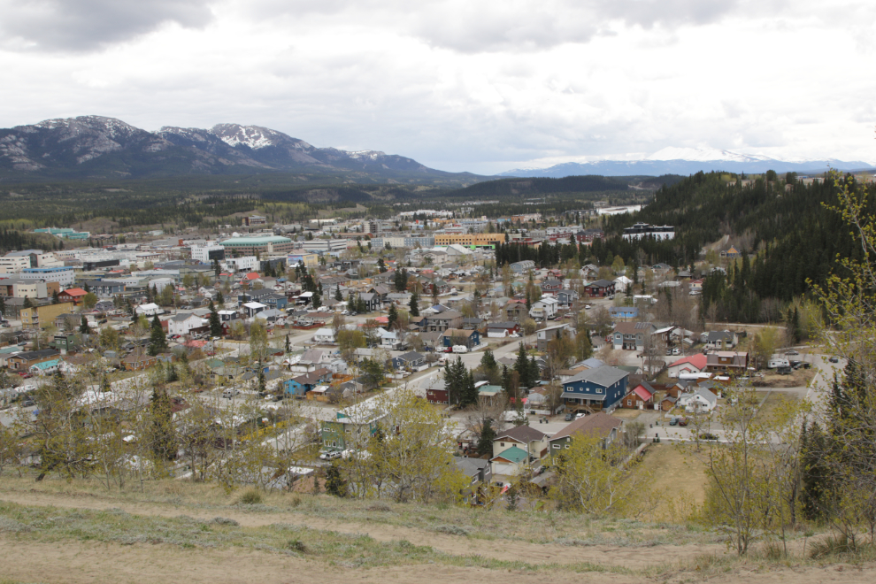
The next photo shows the main residential part of downtown – commonly called Old Town.
I do a lot of portraits of individual buildings and businesses on these walks. One of the ones I shot this day was the Jamieson Building. It dates to about 1950 and is long past the point where the City should order demolition.
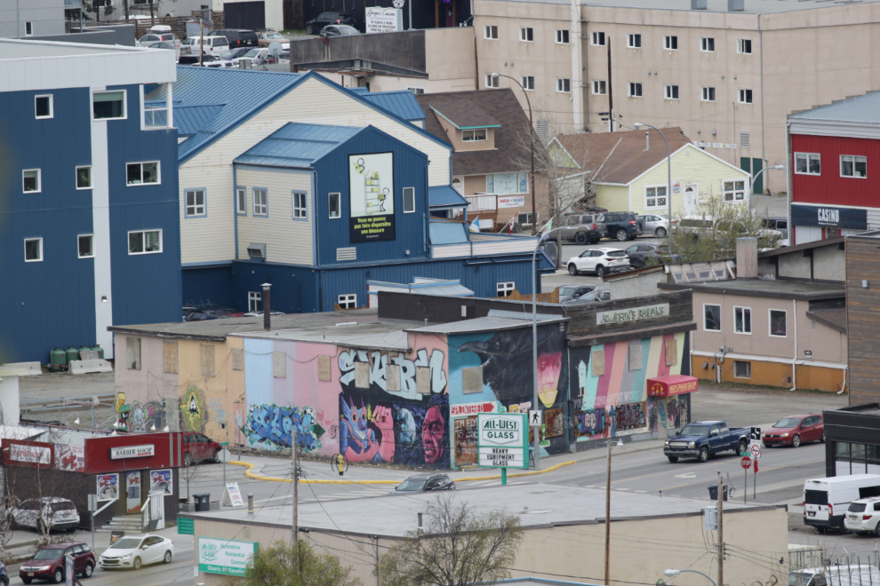
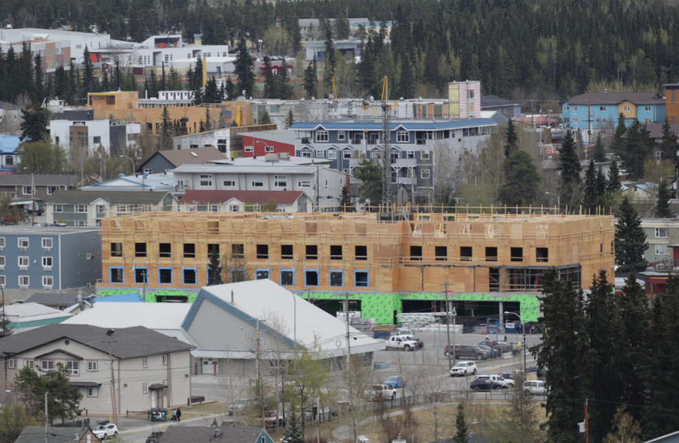
The new Hilton Hotel on Main Street between 4th and 6th Streets is coming along nicely.
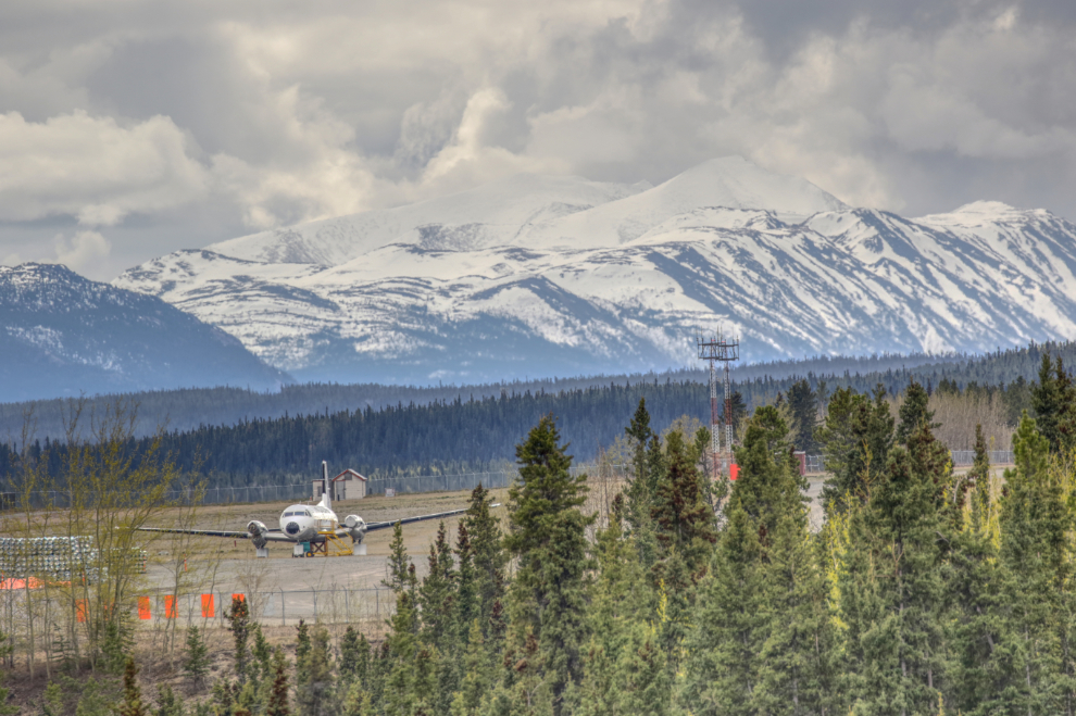
After another walk through the forest, I was back at the airport runways. That plane is a rescue training prop which served Air North for many years.
A couple more photos of the various airport construction projects.
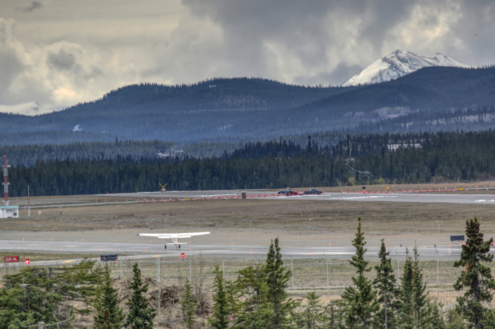
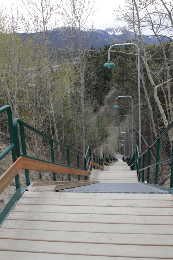
The trail system now ends at the Black Street Stairs. Sometimes I walk down and back up before returning to my car, but I didn’t this day. I spent quite a while there talking to another walker, mostly about retirement and our travels around the world 🙂
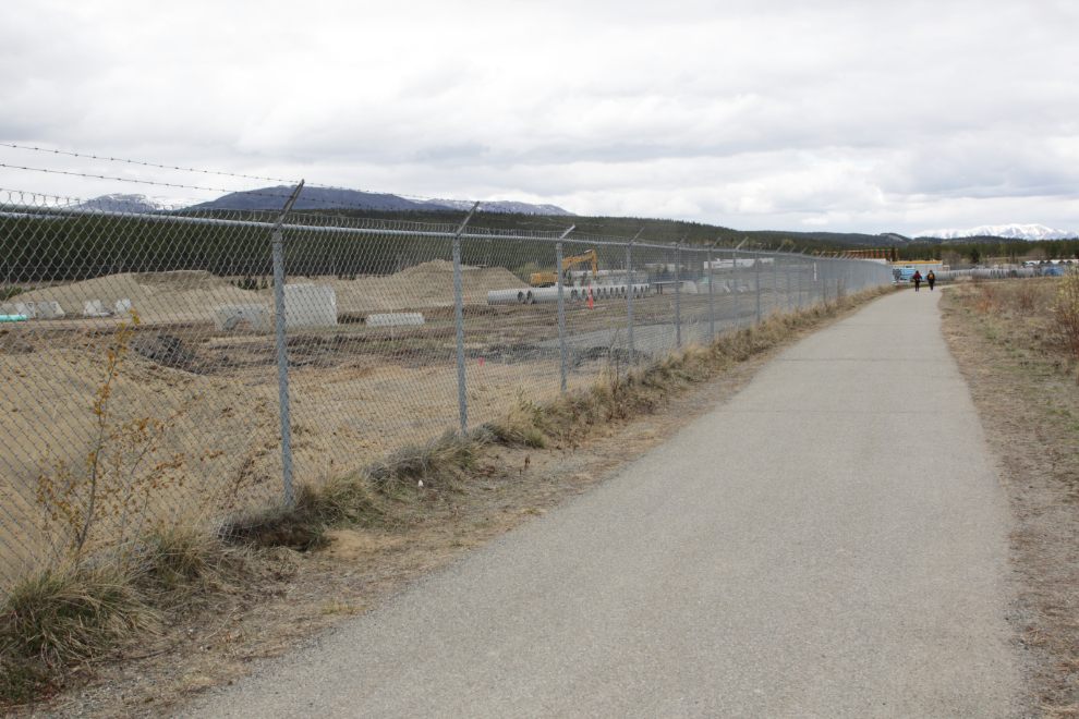
Walking back to the car along the perimeter fence. The scene won’t return to normal until 2026.
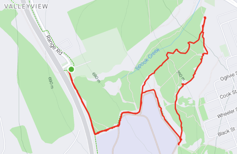
The entire walk was only 3.6 km and it took me about an hour and 50 minutes – I logged it with Strava.
My next post will probably be about going to Skagway by train on Sunday. After riding the White Pass & Yukon Route pretty much once a year, the last time we did it was 2014, so I’m pretty excited about that 🙂

Lots of change, if someone had a photo going back another 20 years, then another 20 years; probably no one would recognize it save for the land and the river. On the stair walkway – the ramps on the left – purpose if you know? Would be a heck of scary ride on a tobaggon! Tax dollors hard at work on that airport, what a great all around view of the surrounding hills, river and mountains.
Yes, I would love to be able to make that photo go back another few decades. Even with 21,000 members, it’s uncommon for anyone to post their photos in my Yukon History group. 🙁
The ramp is for bikes and dogs – the metal stair surface is not dog-friendly.
It is always interesting to look back… I try to remember how things around here looked 20 years ago and can’t remember very much.
People always say “I remember” yet when this sort of photo-pair is posted they’re shocked. Memory is simply not very reliable.
Good day Murrster, thanks for the walk about around the airport with a view, the progress report is quite amazing for a 24 year span, the contractor for the airport from Germany/America/Canadian BC division/ globalist organizations within our view but are blindly followed by no one, good catch on that detective, I did leave in 1998 from the Yukon and haven’t returned yet but with your beautiful reports I may not need too, still have the T shirt but it’s a TUK U original somewhere packed with the ice road T shirts, Spook Creek still in tact, here in Nova Scotia been changing names , local Negro Island renamed, the new house that we built on Bluejay Way and sold in 1998 for 155,000 probably would go for 5 times that, I remember the story of two sourdoughs sitting on Main Street drinking alittle whiskey together when public consumption was legal and the crew was putting up the first traffic lights in Whitehorse, the one guy looked at his companion of drink and said there goes the territory! now you have a Hilton Hotel 🙈🍻