Coal days: Visiting Sparwood and the Frank Slide
After leaving Fort Steele at about 4:00 pm on Day 30 of the trip – Monday, May 23rd – we soon left gold country and entered coal country, and visits to Sparwood and the Frank Slide over the next 24 hours gave us a look at the present and then the past of coal mining in the Crowsnest Pass region. As always, we could have spent much more time in the area.
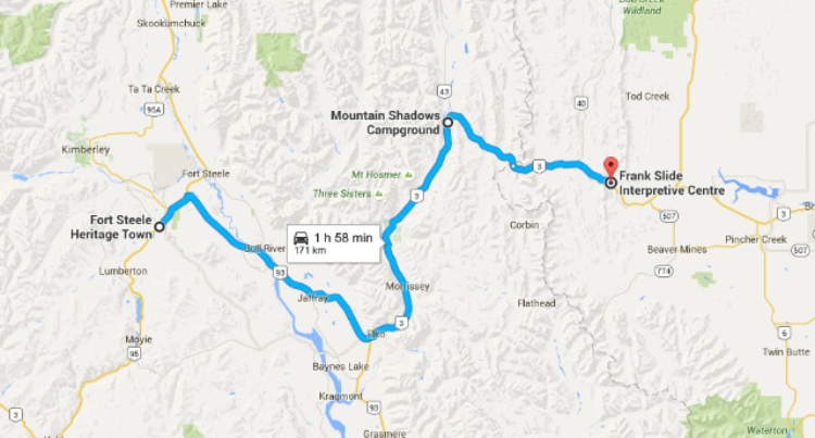
My intention had been to just drive to Fernie to overnight, but we decided to go a bit further, to the Mountain Shadows Campground at Sparwood, because it sounded like a nicer park. The distance from Fort Steele to Sparwood is 125 km (78 mi). Click here to open an interactive version of the map in a new window.
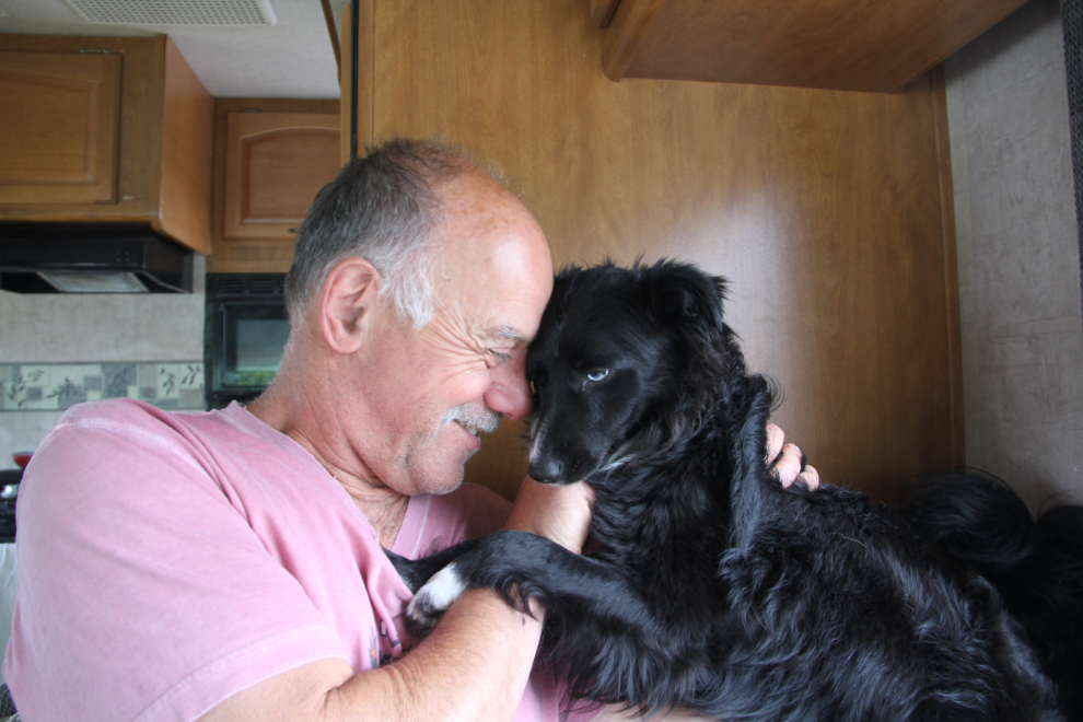
Before hitting the road again from Fort Steele, Tucker got up on the dinette seat, apparently needing a bit of a snuggle after being left in the rig for over 4 hours.
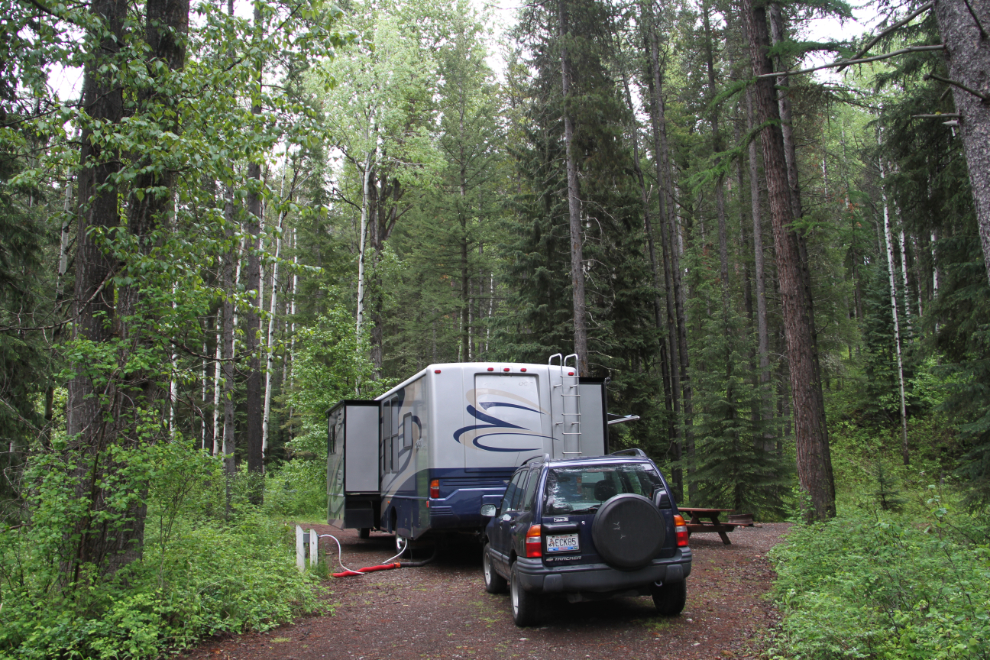
Mountain Shadows Campground turned out to be an excellent choice. It certainly ranks as one of the best-value full-service campgrounds we’ve stayed at.
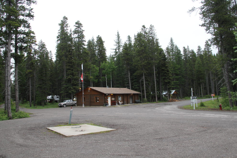
The forest is lovely, the campsites are huge and level, the services are well placed, and the wifi was even good. All for $31.50 including taxes.

Our site, #8. The rainy weather continued, but we got a break from it every now and then for a few minutes, long enough for a good dog walk.
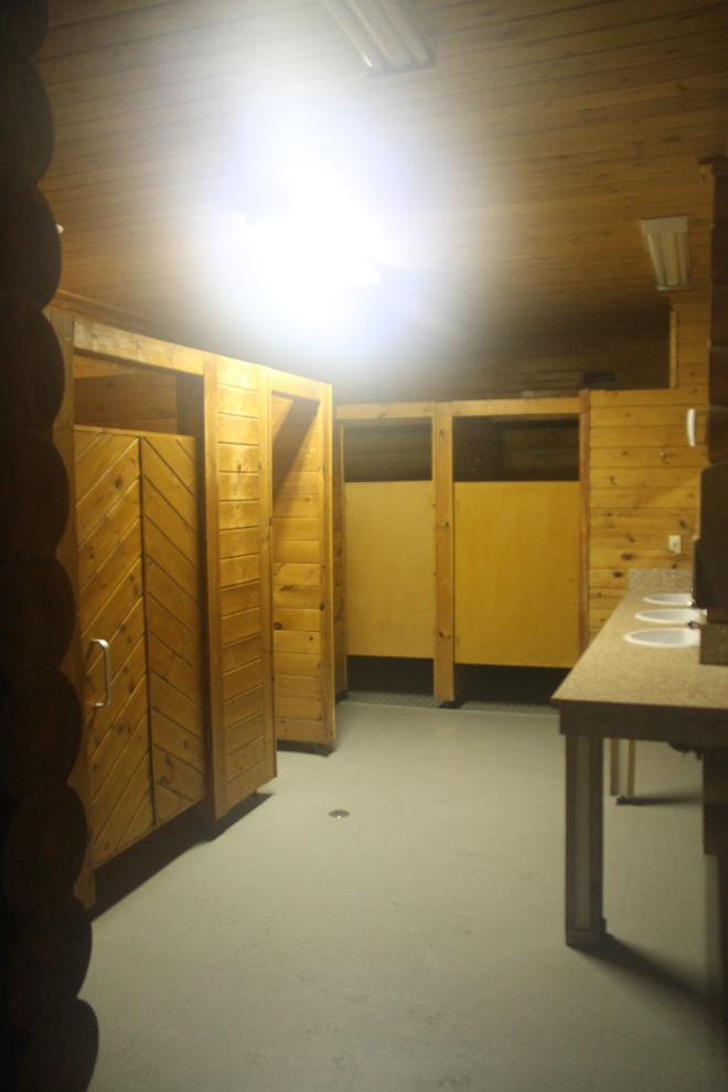
The washrooms are pretty dark and dated, but they were clean and everything worked, so no complaints there.
The leaks in the motorhome windshields had gotten worse and worse over the past few days and we now had a bucket under the worst of them, so I called ahead to Crystal Glass in Cochrane, and the manager said to bring it in as soon as we got in and the’d have a look at it.
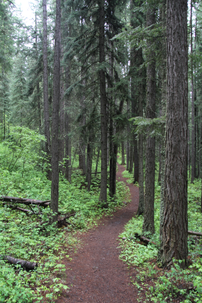
A network of almost 5 km of walking trails (connecting t a 32-km trail) starts at the campground entrance.

We had a very leisurely morning on Tuesday – we were in no hurry to leave this campground. A long walk on the trails was a great way to start the day’s exploring.
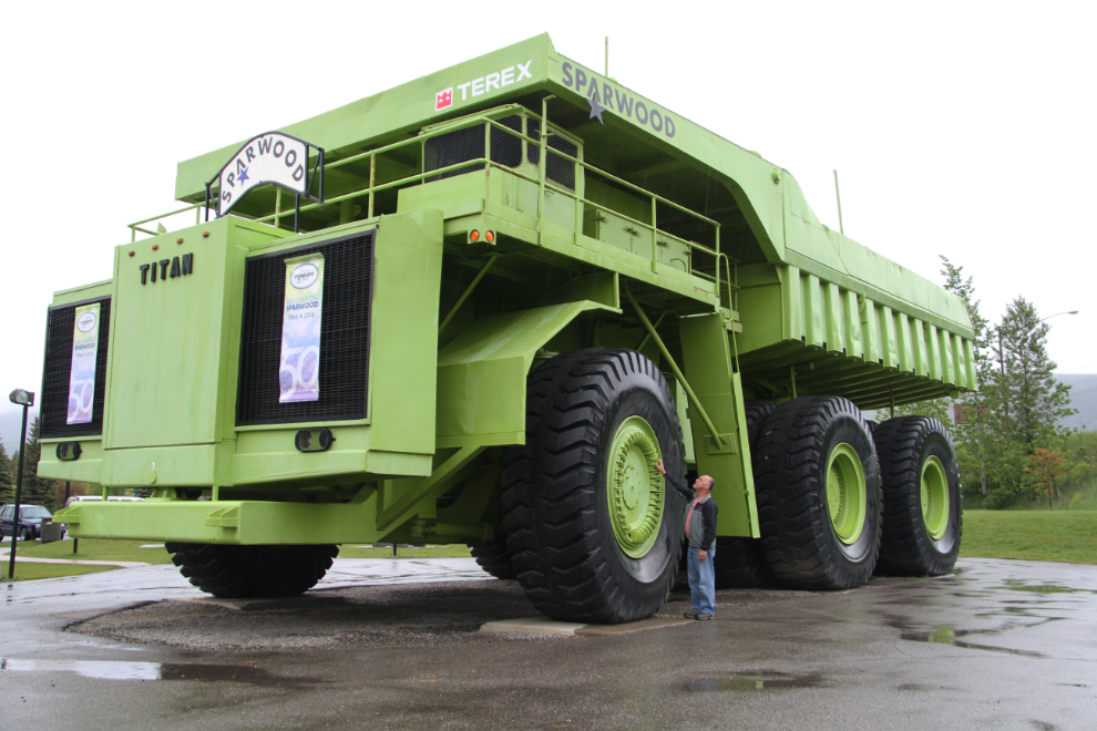
Although still promoted locally as “The World’s Largest Truck”, the Terex 33-19 “Titan”, built by General Motors in 1973, actually lost that title in 1998 when Caterpillar came out with their slightly larger 797.
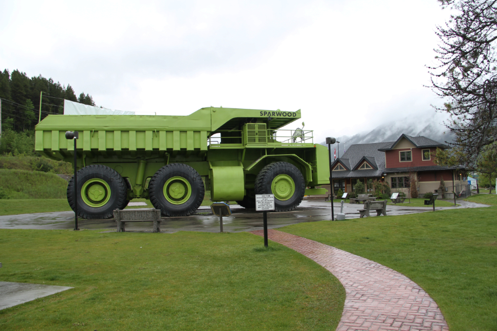
The Titan on display was the only one built. It worked in California for 4 years and then was somehow moved to Sparwood. It weighed 231,100 kg (509,500 lbs) – much less now because the engine has been removed – and had a gross vehicle weight of 548,600 kg (1,209,500 lbs). It’s 6.88m (22’7″) high, 20.09m (65’11”) long, and 7.57m (24’10”) wide.
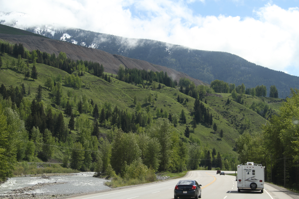
At 11:00, we hooked the Tracker up and headed east on Highway 3 again. This area must be impressive from the air – the top of many of the ridges is a reclaimed coal-mining area.
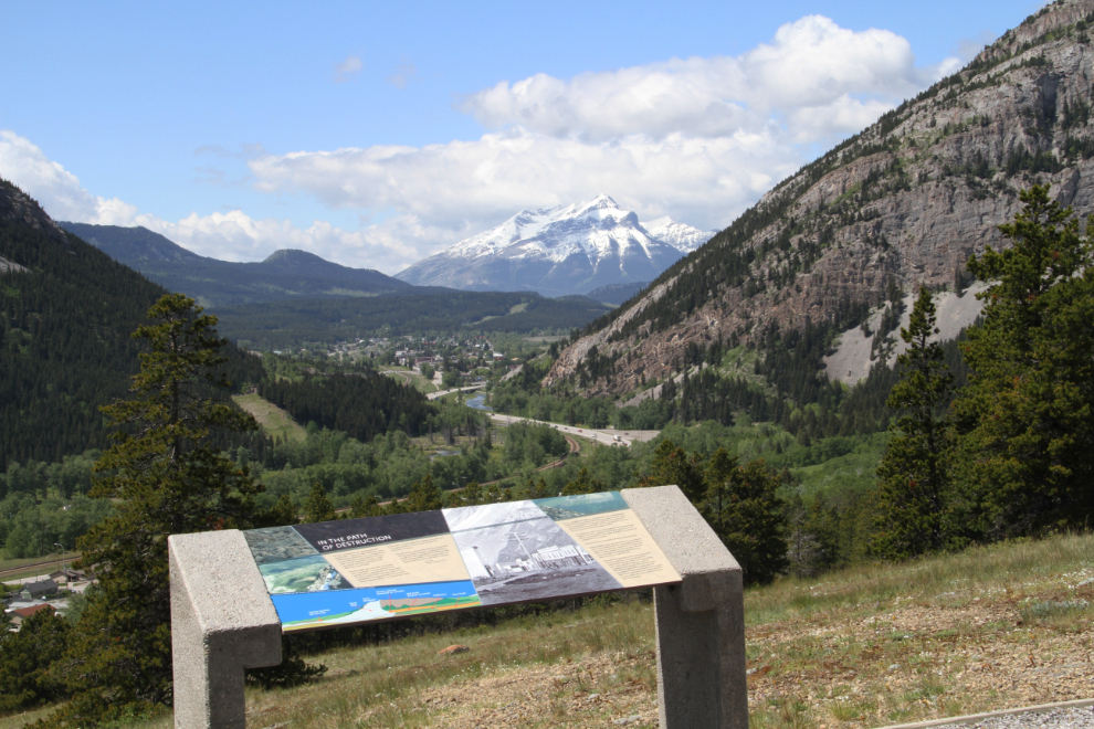
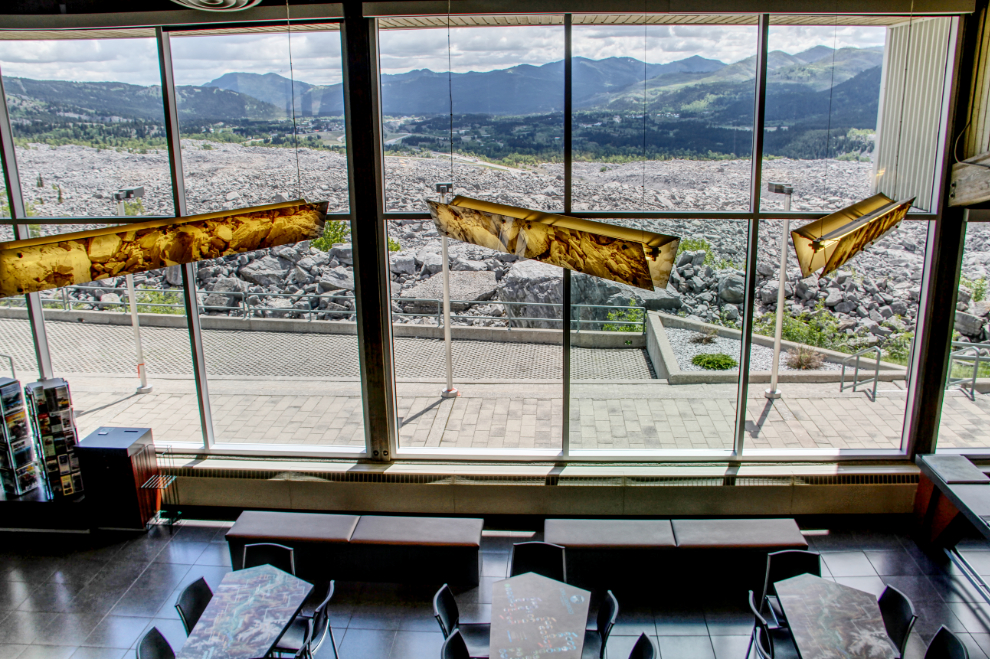
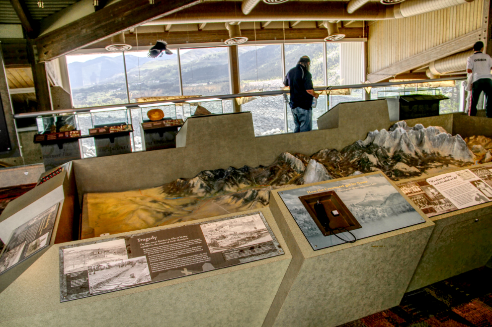
Just over half an hour from Sparwood, we stopped at the Frank Slide Interpretive Centre. Like many Alberta parks ad museums, this one is very impressive, interpreting not only the Frank Slide disaster of 1903 – Canada’s deadliest rockslide – but also much more of the region’s coal mining history. This view looks over the cafe to the slide itself.
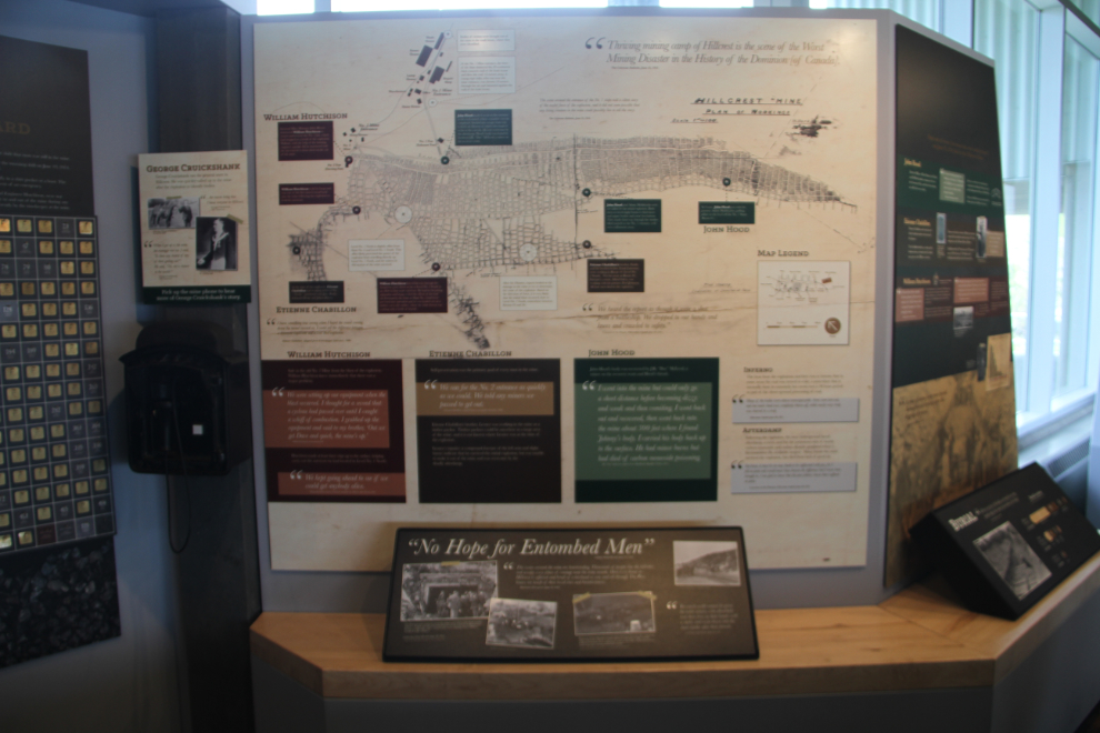
The horrific explosion in the Hillcrest coal mine in 1914 is also very well interpreted. The centre’s tagline “We have stories to tell you that you will never forget!” is certainly true. The descriptions about how hot the fires were – about what it did to not only bodies but even to the coal itself – are definitely memorable.
Everything about the centre is impressive – the displays work beautifully into the architecture, which in turn looks like it belongs in that location.
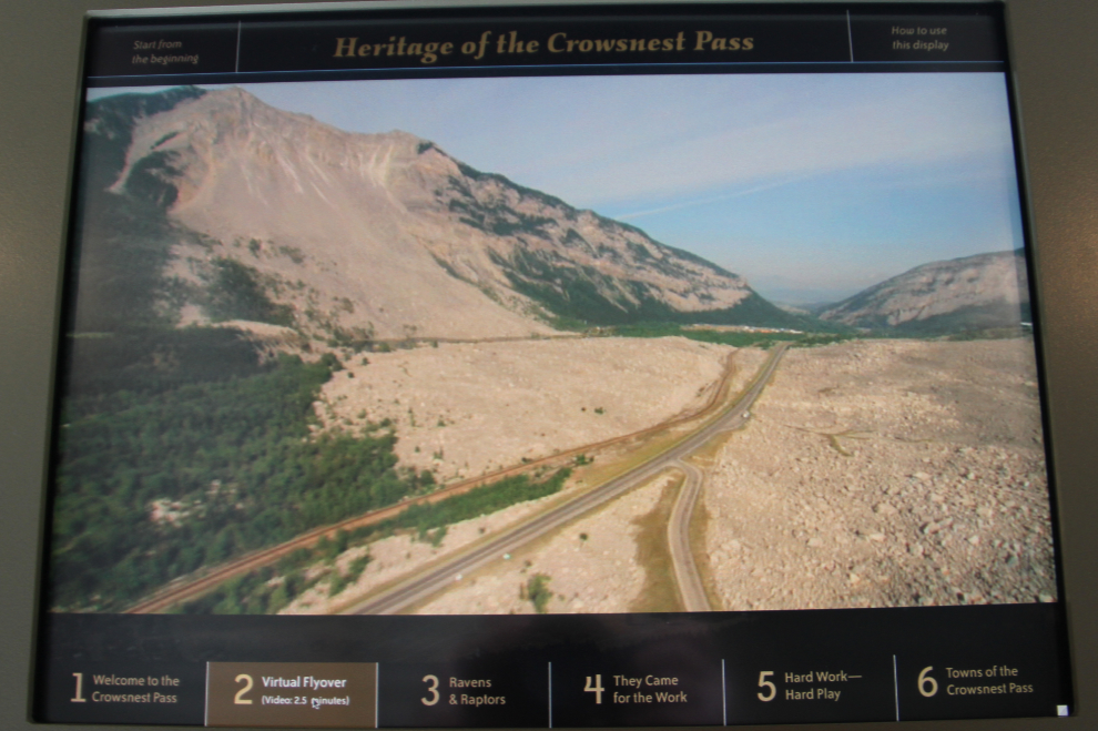
We spent the first hour watching 2 movies – one about the slide, and then one with a wider focus on coal mining in the Crowsnest Pass region. Then there are other movies around the centre, including this one with aerial views of the slide, which really does need to be seen from the air to grasp the size. I was surprised to read that the Hope Slide that I was at a few weeks ago is larger, though.
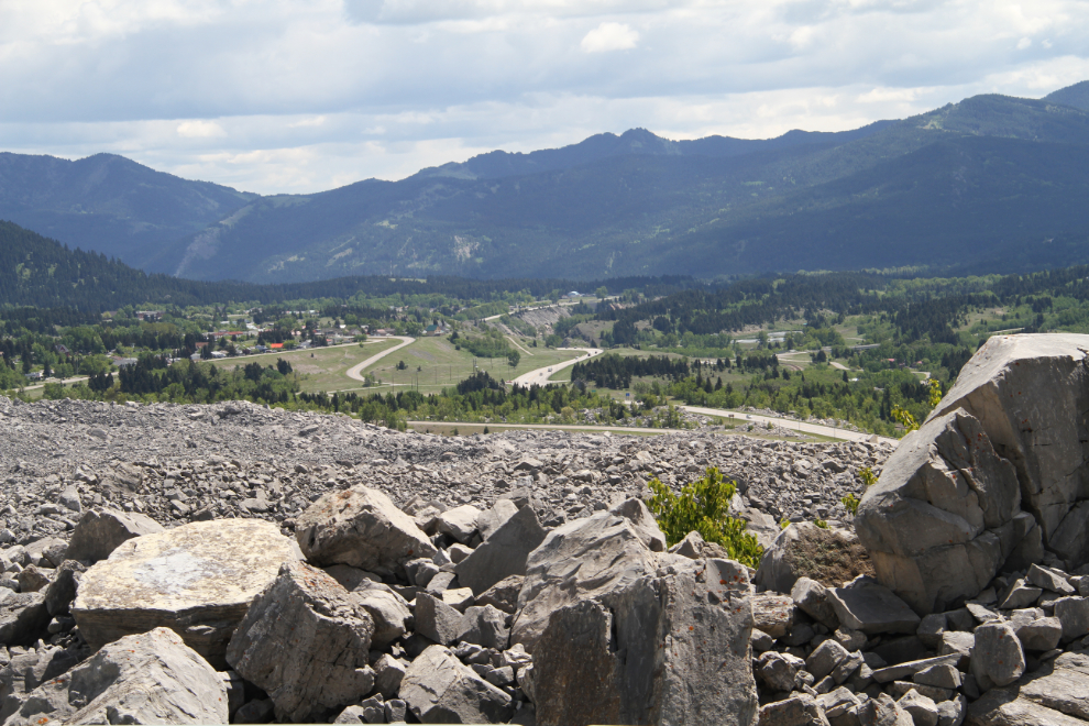
The view across the slide and down the valley. One of the notable displays at the centre described the slide that is expected to happen just up the valley, on about the same scale as the Frank Slide.
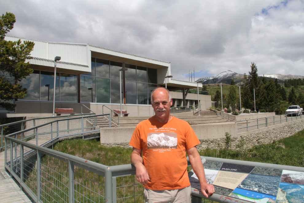
Me at the viewing deck in front of the centre.
We went for a walk on one of the trails around the centre, which has plenty of interpretive signs, and just after 2:00 pm, were on the road, headed for the North West Mounted Police museum at Fort MacLeod.