To coal mining country in the Alberta Rockies
Yesterday was supposed to be an at-home day. No, really, it was – I was just going out for groceries!
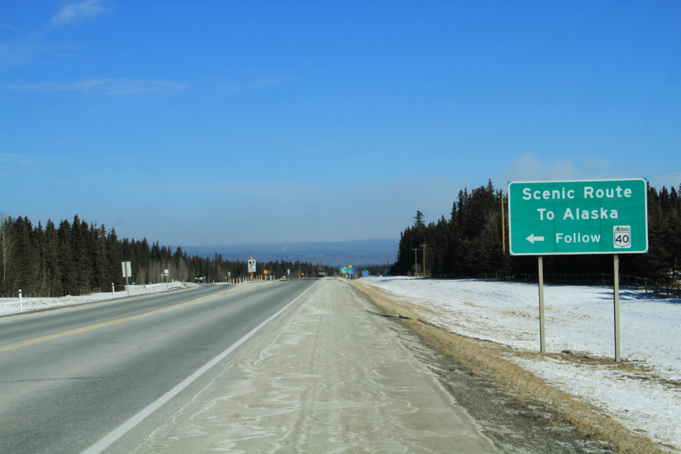
After putting a few bags of food in the trunk, I decided to go a few miles and get photos of some highway signs for my files, like this one offering a highly debatable statement.
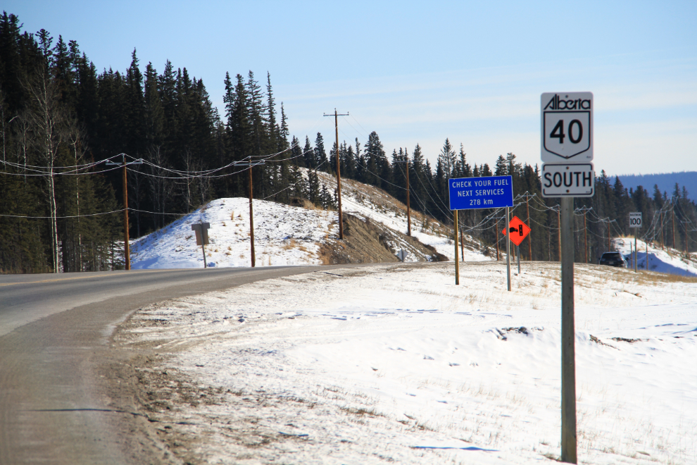
While turning around to head home, I saw these signs – the blue one says “Check Your Fuel. Next Services 278 km”. Really? I had some some very superficial research about this route, and figured I’d go up for a few miles to see what the road is like.
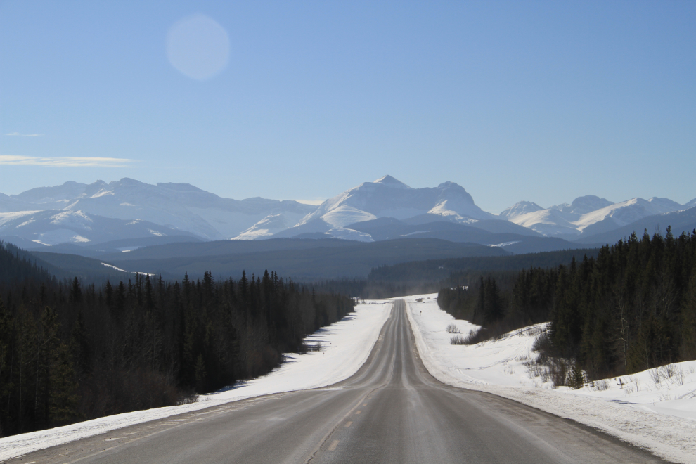
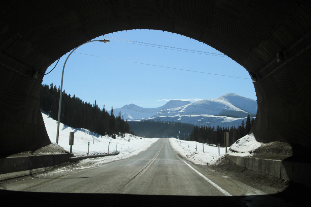
When I saw this view ahead, my regular readers will know what happened to my plan to spend the day at home 🙂
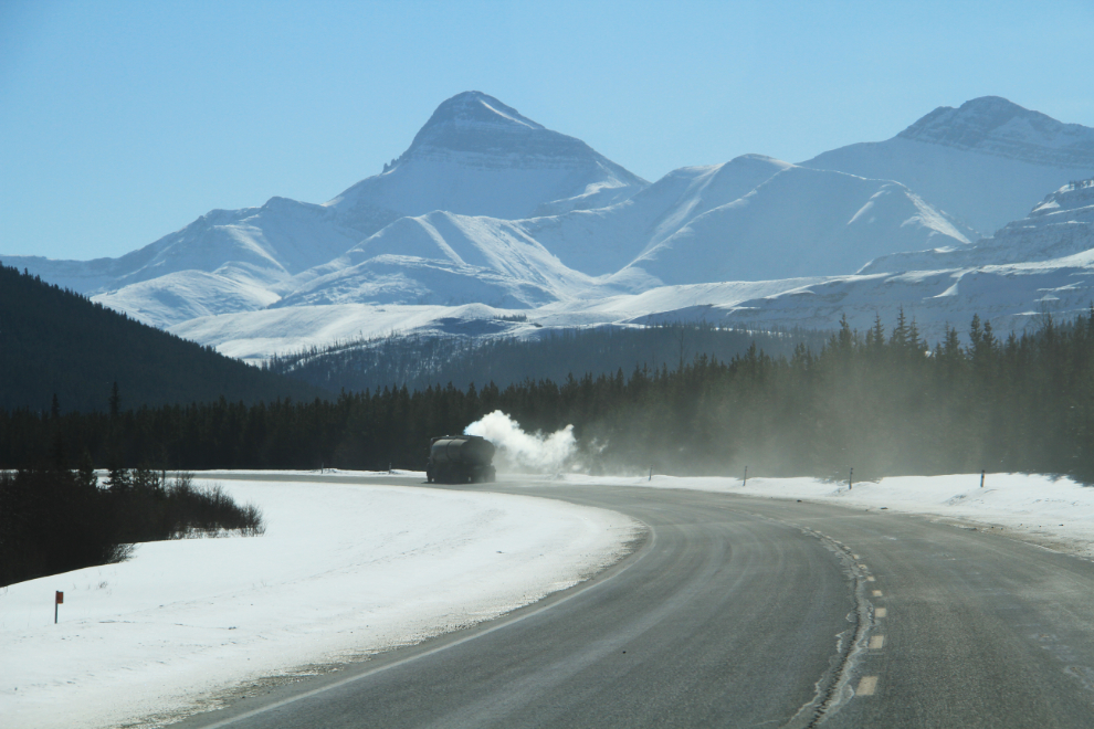
A B-train fuel tanker heading off into the middle of nowhere – hmmm, that’s interesting.
I came to several signs noting that the road was passing through several coal properties, and then this underpass, obviously for coal mining equipment to pass over.
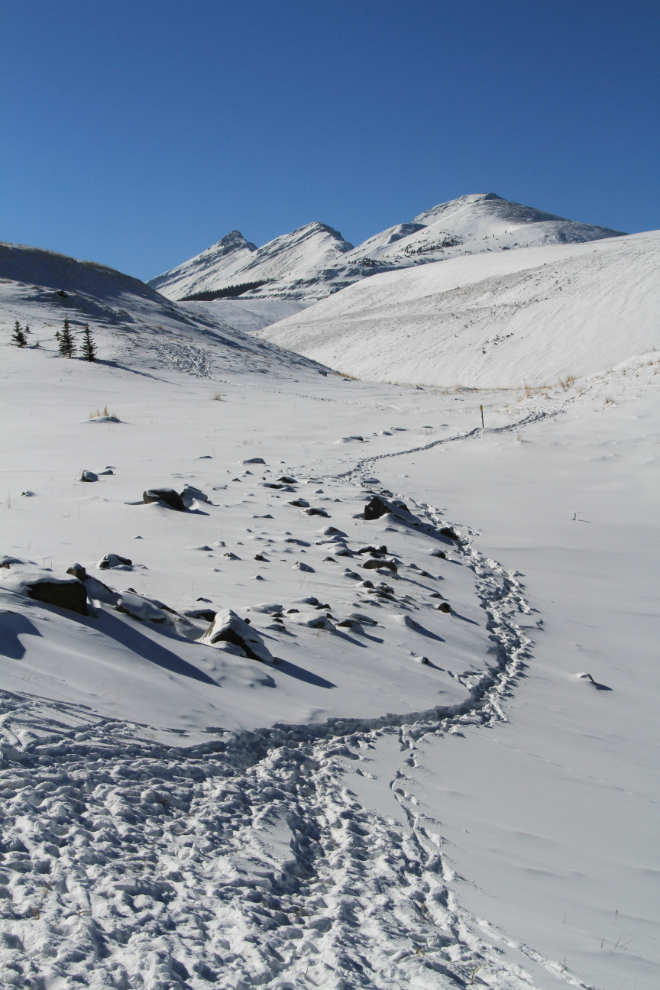
A sheep trail heading off into the reclaimed coal mine property. They seemed to have spent while a while on the pullout at that spot, perhaps licking minerals off the road.
All of a sudden, there was a large coal mine in operation ahead of me – I hadn’t expected that, but I always enjoy looking at mines, operating or not.
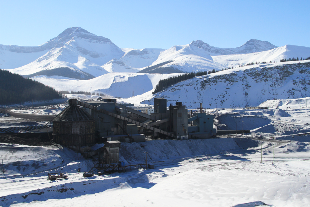
This panorama of the property was created by stitching 4 photos together. This property was opened in 1921 by Luscar Collieries, and the company town of Luscar, which was at the far left of this photo, peaked at a population of 724 in 1941. The mine mostly supplied Canadian Nation Railway with fuel for their steam locomotives, and closed in 1956 when the railway’s conversion to diesel was complete. It was re-opened in 1969 by Cardinal River Coal, now owned by Teck, who ships the coal by rail to Vancouver and then by ship to markets around the world.

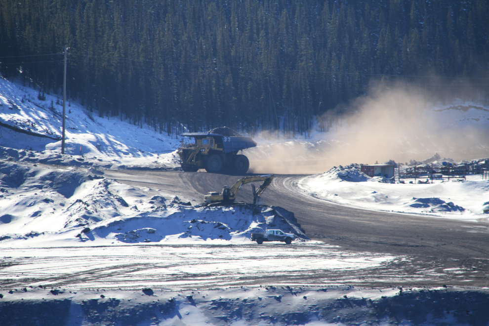
The shovel and pickup in the foreground will give you some idea of how massive that truck is!
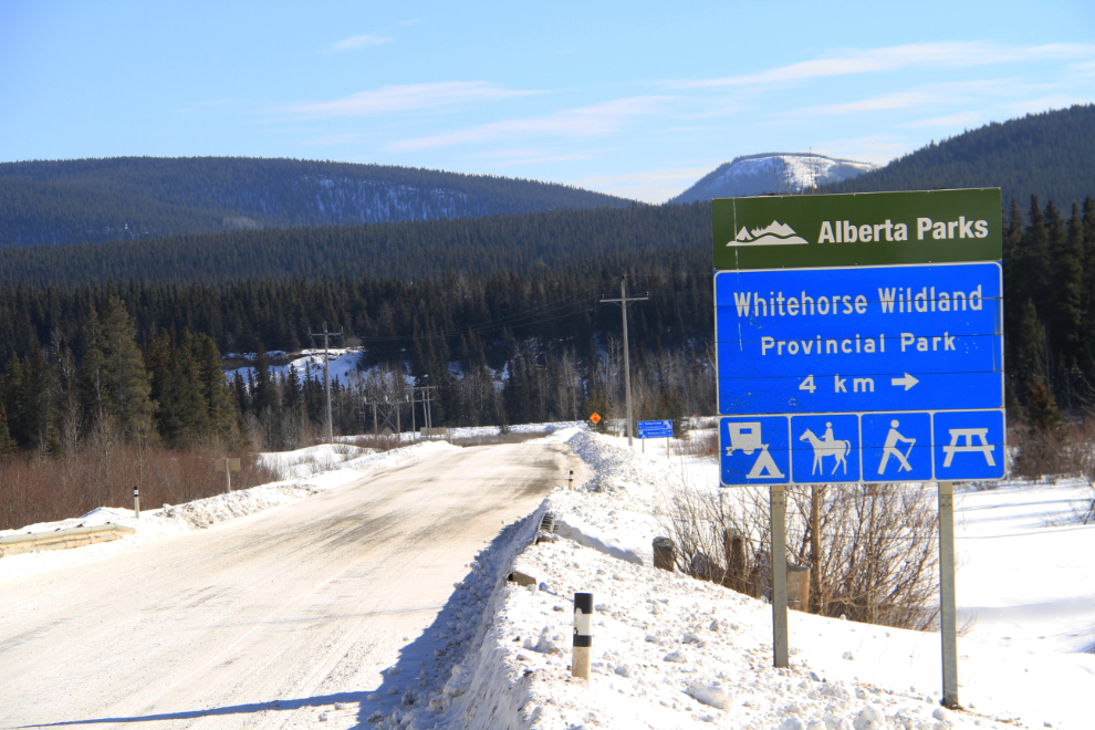
Continuing south on Highway 40, a sign pointing the way to Whitehorse Wildland Provincial Park led me of the main road in that direction.
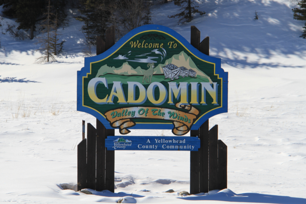
“Welcome to Cadomin, Valley of the Winds”. All I knew about Cadomin was that it was an old town, now obviously an old coal mining town.
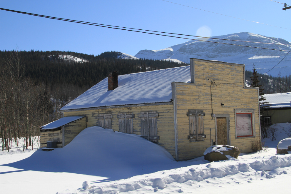
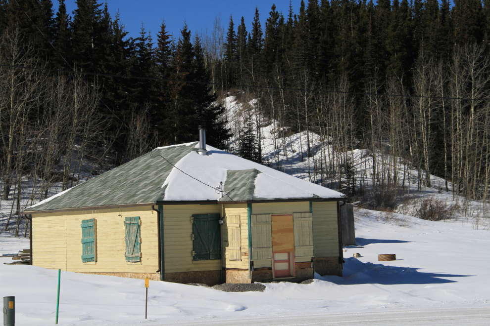
I passed through Cadomin, but there was enough of interest within sight that I knew I’d be stopping on the way back. Many of the homes were 1930s vintage, a couple like this pre-dating that. Most homes were boarded up – I’m guessing that this is a popular recreational cabin community in the summer.
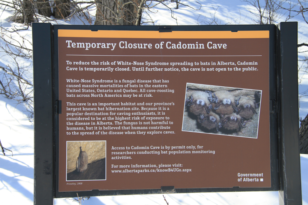
Cadomin Cave is the hibernaculum (winter home) of up to 800 little brown bats and is considered to be at high risk of exposure to white-nose syndrome, a fungal disease that has killed more than one million bats in caves and mines in the northeastern United States, Ontario and Quebec. It’s not harmful to humans but is believed to be spread by humans when they explore caves.
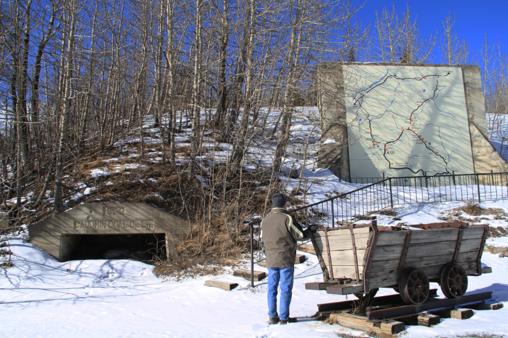
A 1922 adit of the Cadomin Coal Mine, and a map showing the many other coal properties in the region.
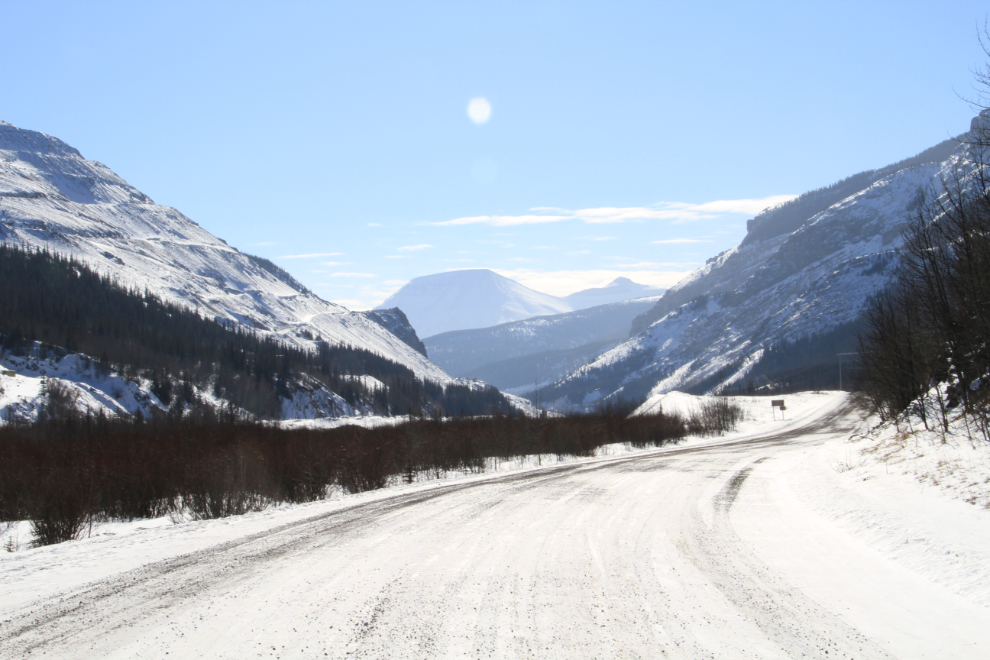
Heading slowly home – I had turned around at the base of the mined slope on the left.
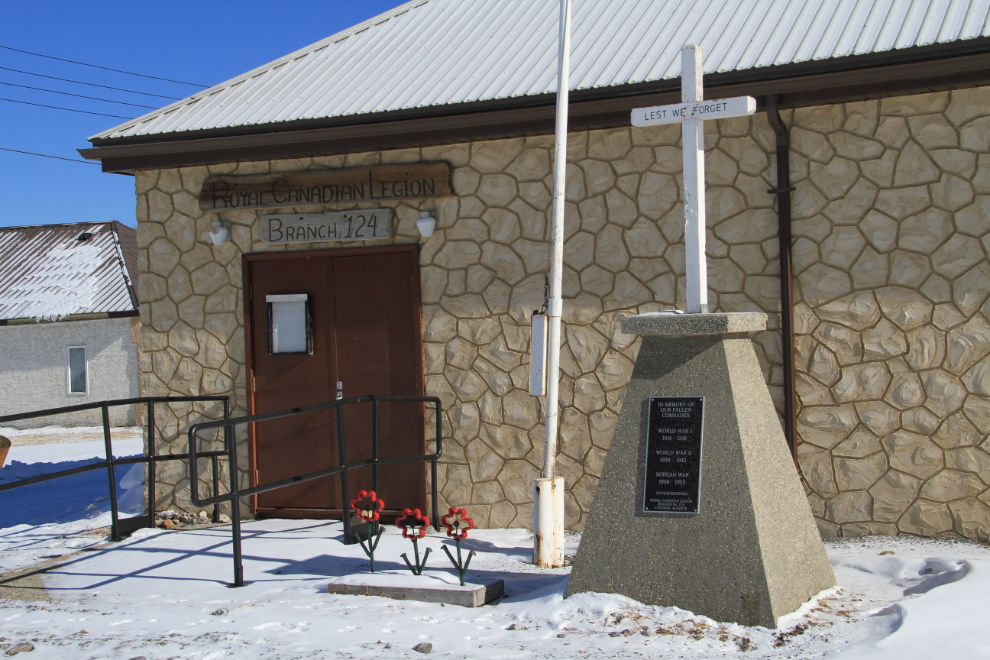
I poked around Cadomin for quite a while. The Canadian Legion…
…an early 1920s cottage…
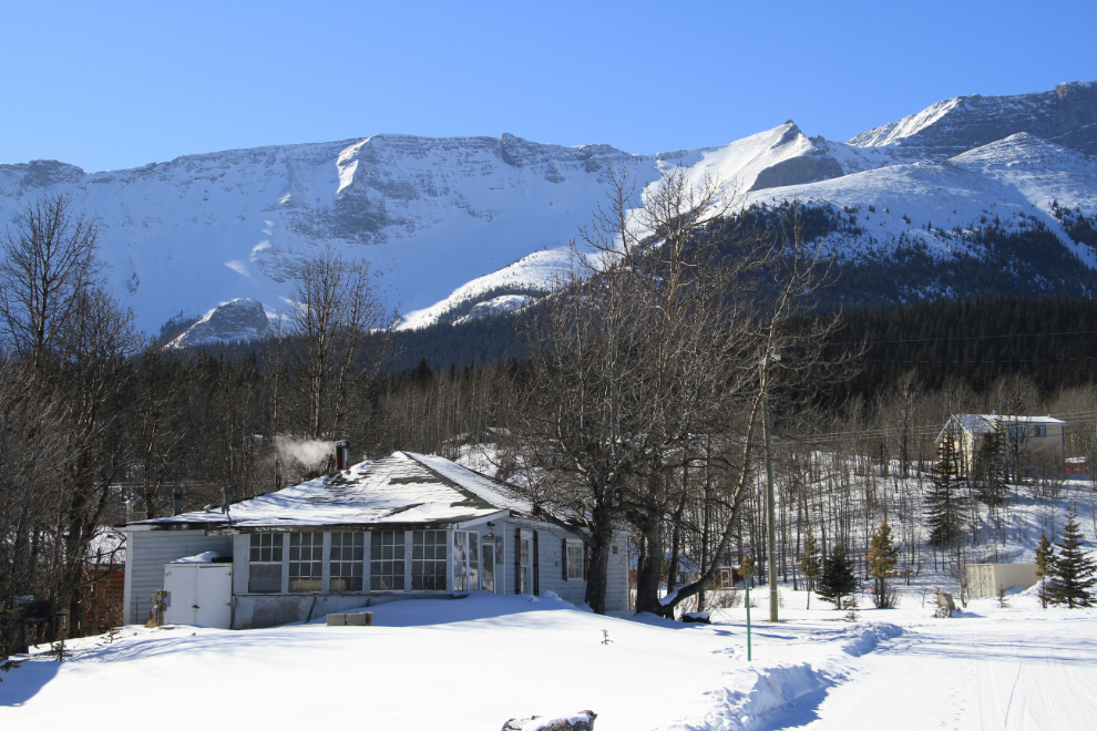
…a 1930s cottage…
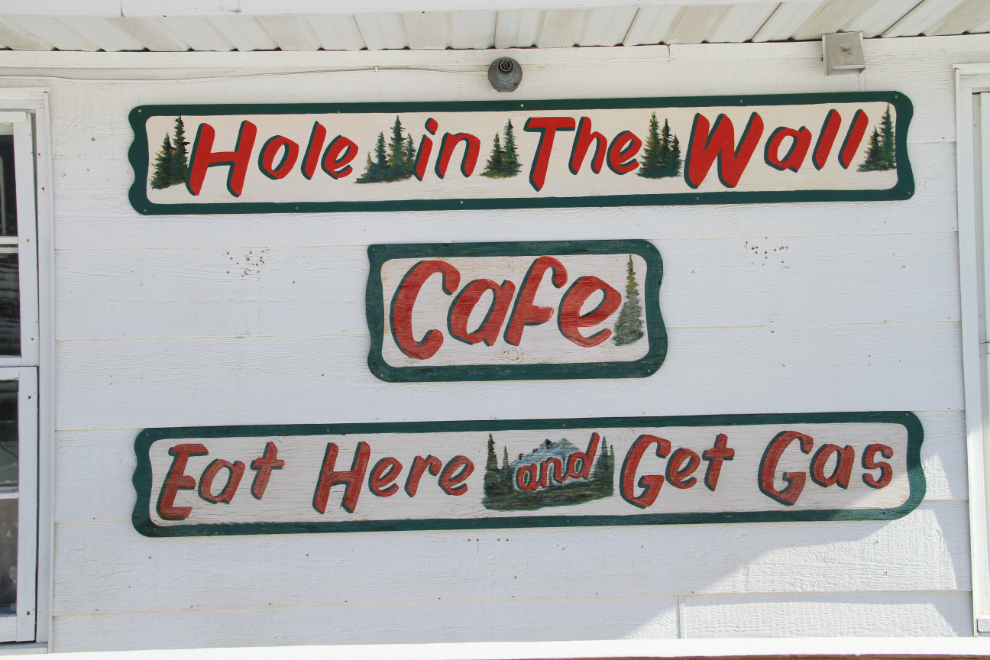
…and the general store and cafe, which is closed on weekends during the winter.
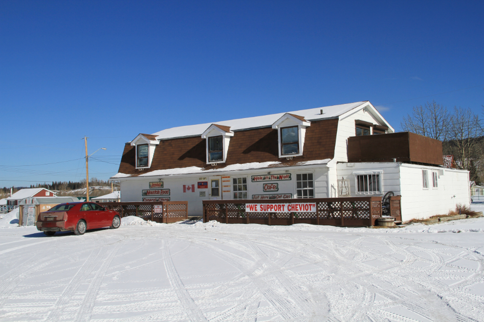
How could I resist not coming back during the week to sample his grub? 🙂
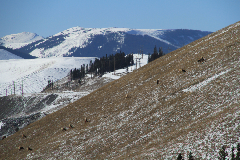
This sizeable herd of elk was happily grazing about half a mile from the Cardinal coal mill. The lack of snow here, as back in the Yukon, was quite shocking – this was at about 4,000-feet elevation, with the temperature at -25°C and a wind chill certainly into the -40s.
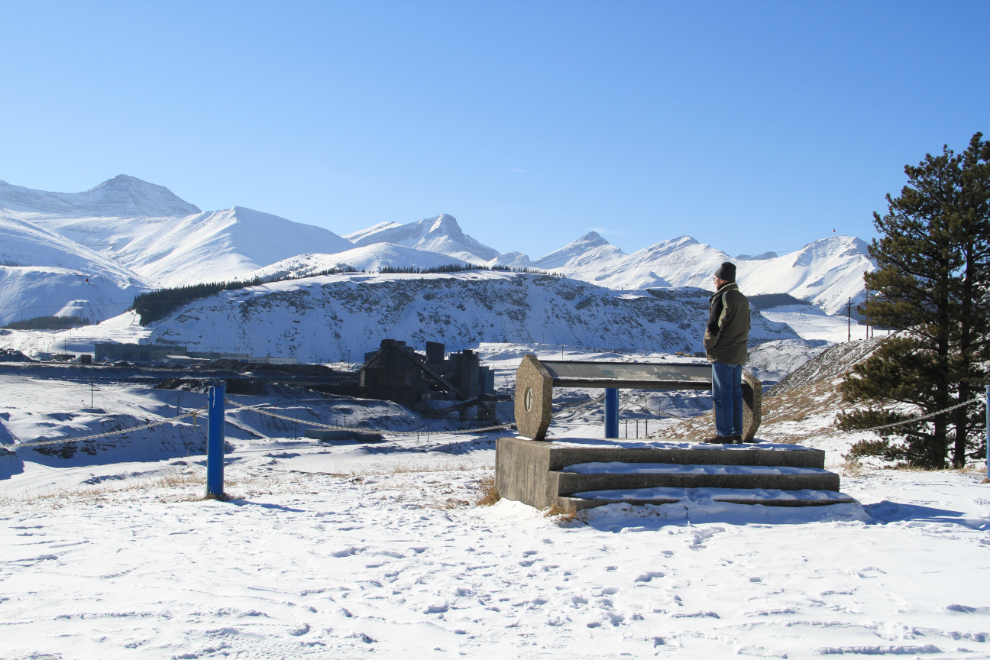
I had actually missed this little interpretive lookout on the way in – it provided some excellent information about the mine’s history.
I was home to give the fur-kids a late dinner (only a bit late 🙂 ) and pop a pizza in the oven for myself. It’s now noon Monday – I’m closely watching the weather for a very special event tonight a couple of hours away.
